The best gravel rides around Vilanova De Meià
5.0
(1)
57
riders
5
rides
Gravel biking around Vilanova De Meià offers routes through a landscape characterized by river valleys, historical sites, and mountain passes. The region features a mix of terrain, including paths near canals and routes ascending to viewpoints. Riders can expect varied surfaces suitable for gravel bikes, traversing both open areas and more secluded sections. The area provides opportunities to explore natural features and abandoned villages.
Best gravel bike trails around Vilanova De Meià
- The most popular gravel bike trail is Wooden…
Last updated: October 11, 2026
3
riders
124km
10:25
2,500m
2,500m
Hard gravel ride. Very good fitness required. Mostly paved surfaces. Suitable for all skill levels.
11
riders
Hard gravel ride. Very good fitness required. Mostly paved surfaces. Suitable for all skill levels.

5.0
(1)
5
riders
35.0km
03:22
820m
820m
Hard gravel ride. Very good fitness required. Mostly paved surfaces. Suitable for all skill levels.
15
riders
43.5km
02:57
300m
300m
Moderate gravel ride. Good fitness required. Mostly paved surfaces. Suitable for all skill levels.
14
riders
21.4km
01:28
220m
220m
Moderate gravel ride. Good fitness required. Mostly paved surfaces. Suitable for all skill levels.
Our route recommendations are based on thousands of hikes, rides, and runs completed by other people on komoot.
Start today with a free account
Your next adventure awaits.
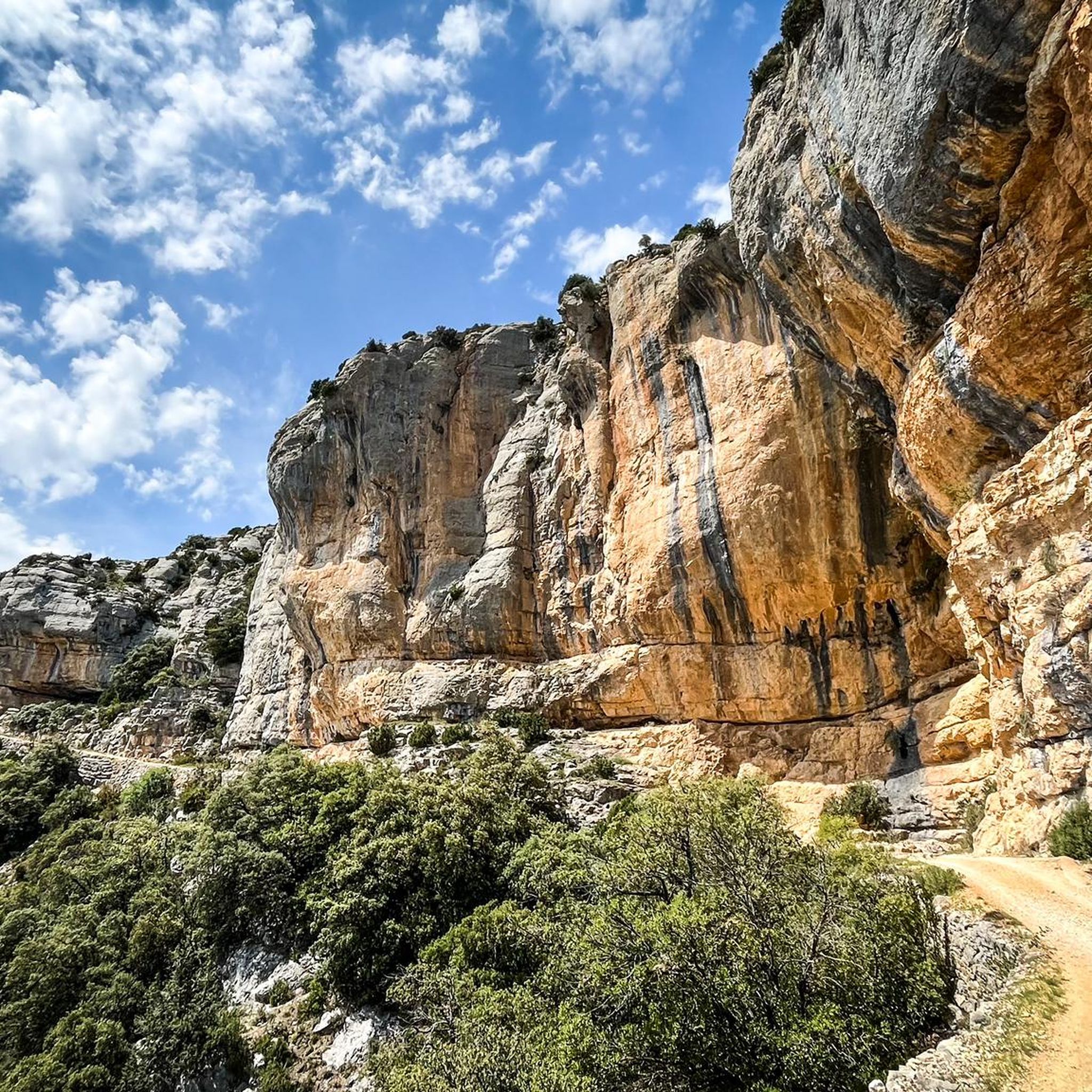
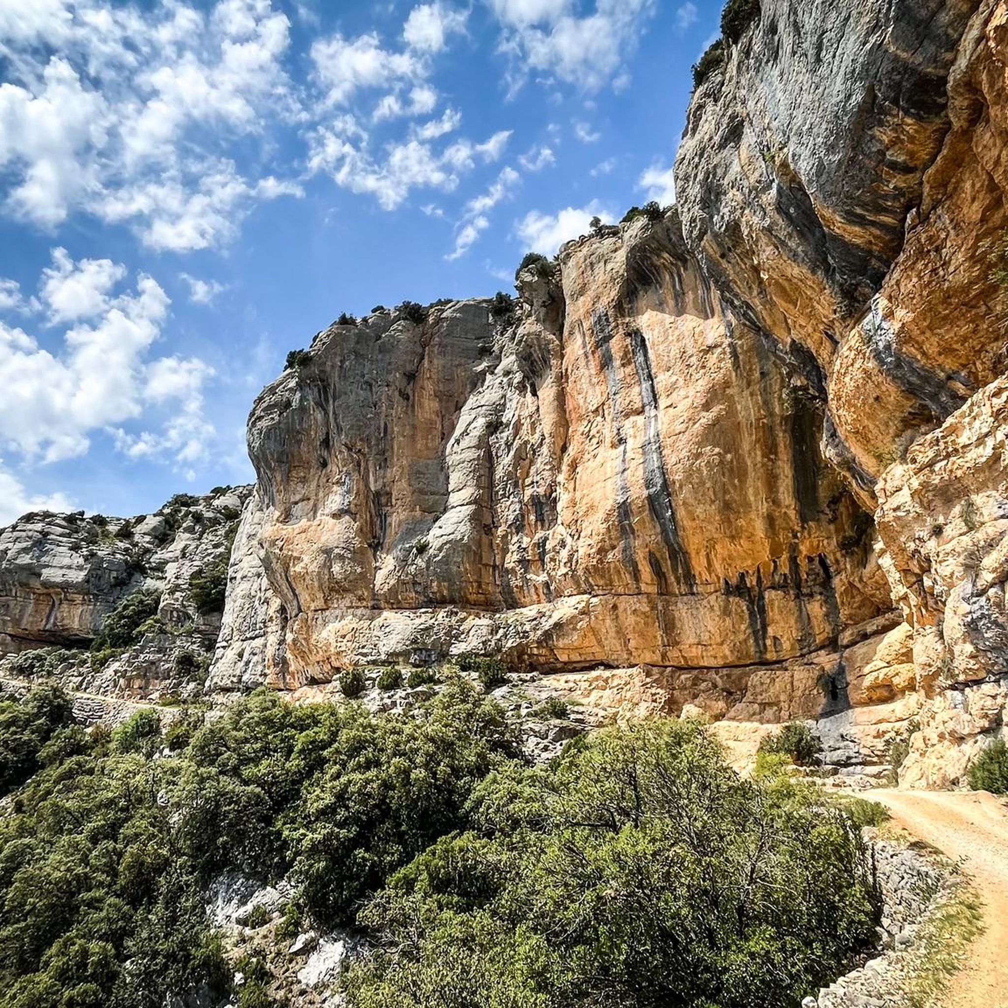
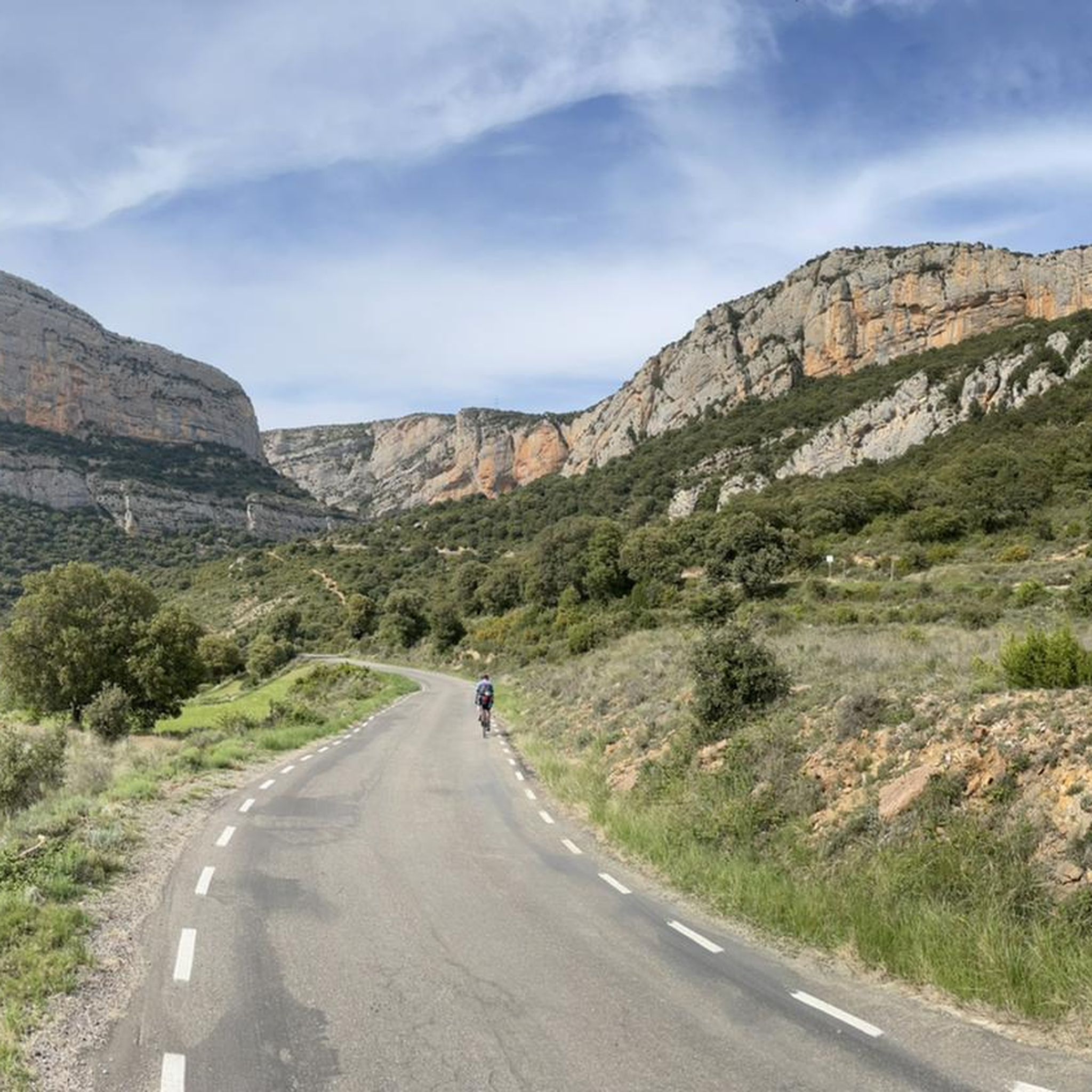
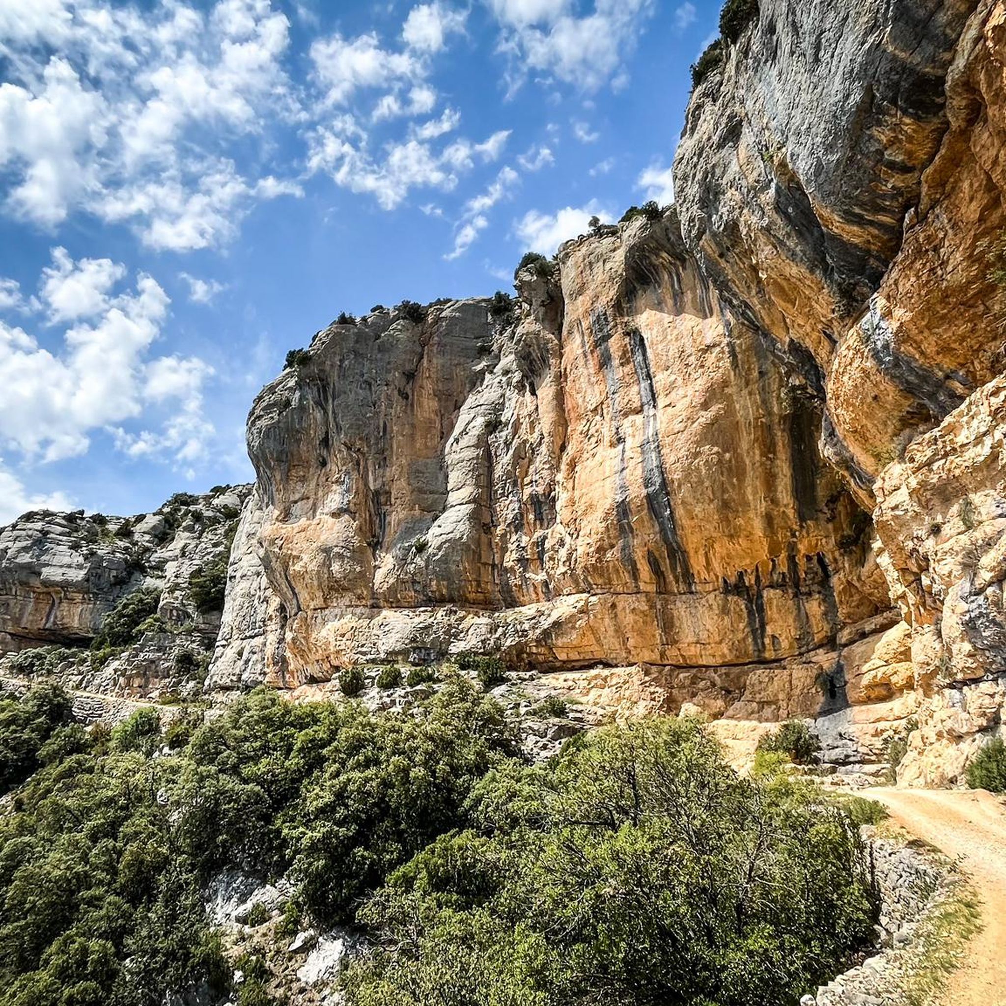
Tips from the Community

Easy hiking trail along the road. You walk directly past the cliffs and the lake. Very impressive
0
0

Wow, this is not to be missed! This is a fortified medieval town dating back to the 11th century. Àger is famous for its dramatic position at the foot of the Montsec mountain range and its preservation of Romanesque and Gothic architecture.
0
0

The Canal d'Urgell is a hydraulic infrastructure intended for irrigation, which carries water from the Segre River to the fields of crops in different municipalities in the counties of Urgell, Pla d'Urgell, Noguera, Segrià and Garrigues, with a total irrigated area of about 70,000 hectares and serving about 77,000 inhabitants. This infrastructure is on the left bank of the Segre River. It begins in the Segre River downstream of the town of Ponts and after traveling about 144 km it ends its route in the town of Montoliu de Lleida. Source: Wikipedia.
0
0
Sports area for kayaking and rafting on the Segre River, near the Roca del Call Park, in the town of Ponts. It is also the starting point of the Ranxo Gravel walk.
0
0
Small wooden bridge that allows you to cross the Llobregós at the level of its confluence with the Segre River.
0
0
It begins on the Segre River downstream from the town of Ponts and after traveling about 144 km it ends its route in the town of Montoliu de Lleida.
0
0
Small town located on top of a hill, abandoned, and part of the La Noguera region.
0
0
Frequently Asked Questions
How many gravel bike routes are available in Vilanova De Meià?
There are 4 gravel bike routes available around Vilanova De Meià, offering a mix of moderate and difficult terrain for exploration.
What is the general difficulty level of gravel biking in Vilanova De Meià?
The gravel bike routes in Vilanova De Meià are generally categorized as moderate to difficult. There are 2 moderate routes and 2 difficult routes, so riders should be prepared for varied challenges including significant elevation changes on some trails.
Are there challenging gravel bike routes for experienced riders?
Yes, experienced riders will find challenging options. Routes like the Wooden Bridge – Abandoned Village of Claret loop from Gualter and the Abandoned Village of Claret – Start of the Canal d'Urgell loop from el Gos are rated as difficult, featuring substantial elevation gains and varied terrain.
Which gravel bike routes offer the most scenic views?
For scenic views, consider routes that traverse mountain passes or offer viewpoints. The Port d'Àger – Viewpoint of the Àger Pass loop from Àger leads through mountain passes and likely offers expansive vistas. Many routes also explore river valleys and areas near canals, providing diverse natural beauty.
Are there circular gravel bike routes in Vilanova De Meià?
Yes, all the gravel bike routes listed for Vilanova De Meià are designed as loops, allowing you to start and finish at the same point without needing to arrange transport back.
What kind of elevation gain can I expect on gravel bike routes here?
Elevation gain varies significantly across routes. For instance, the difficult Abandoned Village of Claret – Start of the Canal d'Urgell loop from el Gos features over 850 meters of ascent, while moderate routes like the Start of the Canal d'Urgell – Wooden Bridge loop from Collfred have around 180 meters of elevation gain.
What natural attractions can I see along the gravel bike routes?
While gravel biking, you can explore several natural monuments in the wider region. Notable highlights include the Cova del Tabac, the dramatic Roca Regina and Barranc del Bosc gorge, and the Sant Alís Summit for panoramic views.
Are there historical sites or landmarks to visit while gravel biking?
Yes, the region is rich in history. You can encounter several castles and religious buildings. Consider visiting the Alòs de Balaguer Castle, Montsonís Castle, or the Collegiate Church of Sant Pere, which are highlights in the vicinity.
What do other gravel bikers say about the routes in Vilanova De Meià?
The gravel biking routes in Vilanova De Meià are highly rated by the komoot community, with an average score of 5.0 stars from 1 review. Over 40 gravel bikers have used komoot to explore the varied terrain, suggesting a positive experience among those who have ridden here.
Is parking available near the gravel bike trails in Vilanova De Meià?
While specific parking locations are not detailed for each route, Vilanova De Meià and its surrounding villages typically offer public parking options. It's advisable to check local maps or signage upon arrival for the most convenient spots near your chosen starting point.
Are there places to eat or get coffee along the gravel bike routes?
The routes often pass through or near small villages. While specific cafes or restaurants are not listed, you may find local establishments in towns like Gualter, Àger, or Vilanova De Meià itself, where you can refuel or grab a coffee. It's always a good idea to carry sufficient water and snacks, especially on longer rides.
Are there any less-known gravel bike trails to explore?
The region's charm lies in its mix of natural and historical landscapes, including abandoned villages and paths near canals. While all routes offer unique exploration, the less-trafficked sections of trails like the Start of the Canal d'Urgell – Wooden Bridge loop from Foradada might offer a sense of discovery away from more popular spots.
Most popular routes around Vilanova De Meià
Most popular attractions around Vilanova De Meià

Get inspired with the komoot mobile app


Explore more
Browse the best Gravel rides in other regions.
