The best gravel rides around Els Plans De Sió
4.8
(10)
446
riders
70
rides
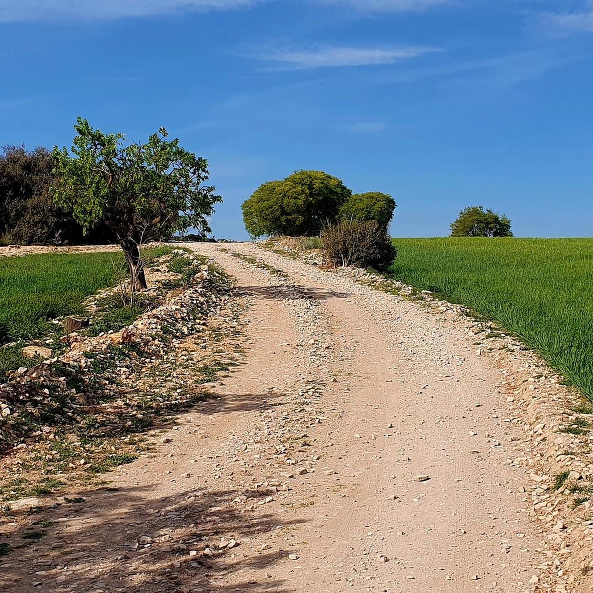
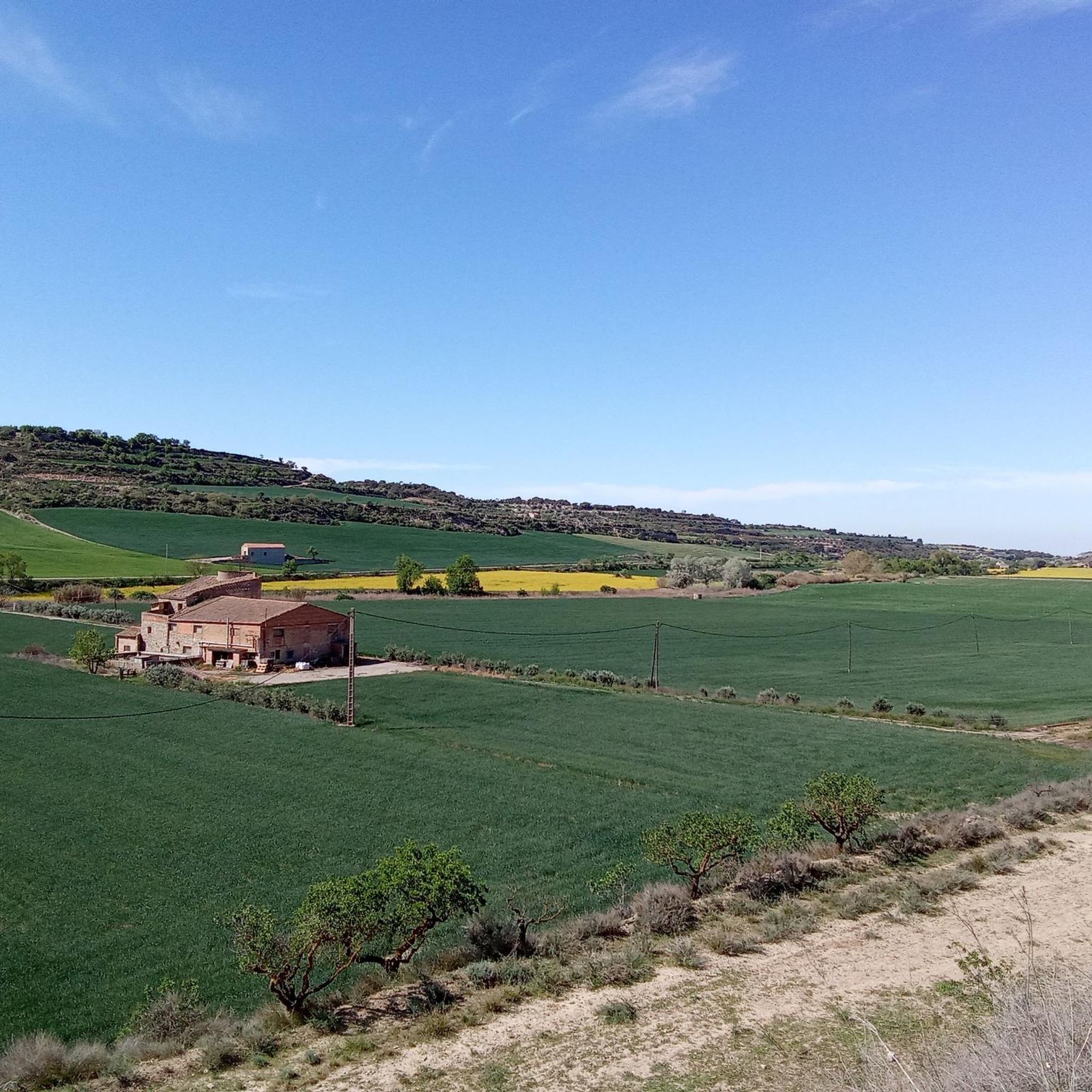
Gravel biking around Els Plans De Sió offers routes through a landscape characterized by agricultural plains, river valleys, and historical sites. The region features a mix of rolling terrain and some significant climbs, with routes often passing by ancient castles, churches, and abandoned villages. Gravel roads and tracks connect these points of interest, providing varied surfaces for cycling.
Best gravel bike trails around Els Plans De Sió
- The most popular gravel bike trail is Abandoned Village of Claret – Start…
Last updated: July 8, 2026
5.0
(5)
318
riders
Hard gravel ride. Very good fitness required. Mostly paved surfaces. Suitable for all skill levels.
14
riders
74.2km
05:36
700m
700m
Hard gravel ride. Very good fitness required. Mostly paved surfaces. Suitable for all skill levels.

Sign up for free
41
riders
45.5km
03:18
670m
670m
Hard gravel ride. Very good fitness required. Mostly paved surfaces. Suitable for all skill levels.
4.5
(2)
17
riders
43.5km
03:20
410m
410m
Moderate gravel ride. Good fitness required. Mostly paved surfaces. Suitable for all skill levels.
4.5
(2)
14
riders
61.1km
04:35
530m
530m
Hard gravel ride. Very good fitness required. Mostly paved surfaces. Suitable for all skill levels.
Get access to more routes and recommendations from other explorers.
Sign up for free
Already have an account?
Our route recommendations are based on thousands of hikes, rides, and runs completed by other people on komoot.
Start today with a free account
Your next adventure awaits.
Login or Signup

Tips from the Community

Small Romanesque church in the town of Santa Maria de Montmagrasell.
0
0
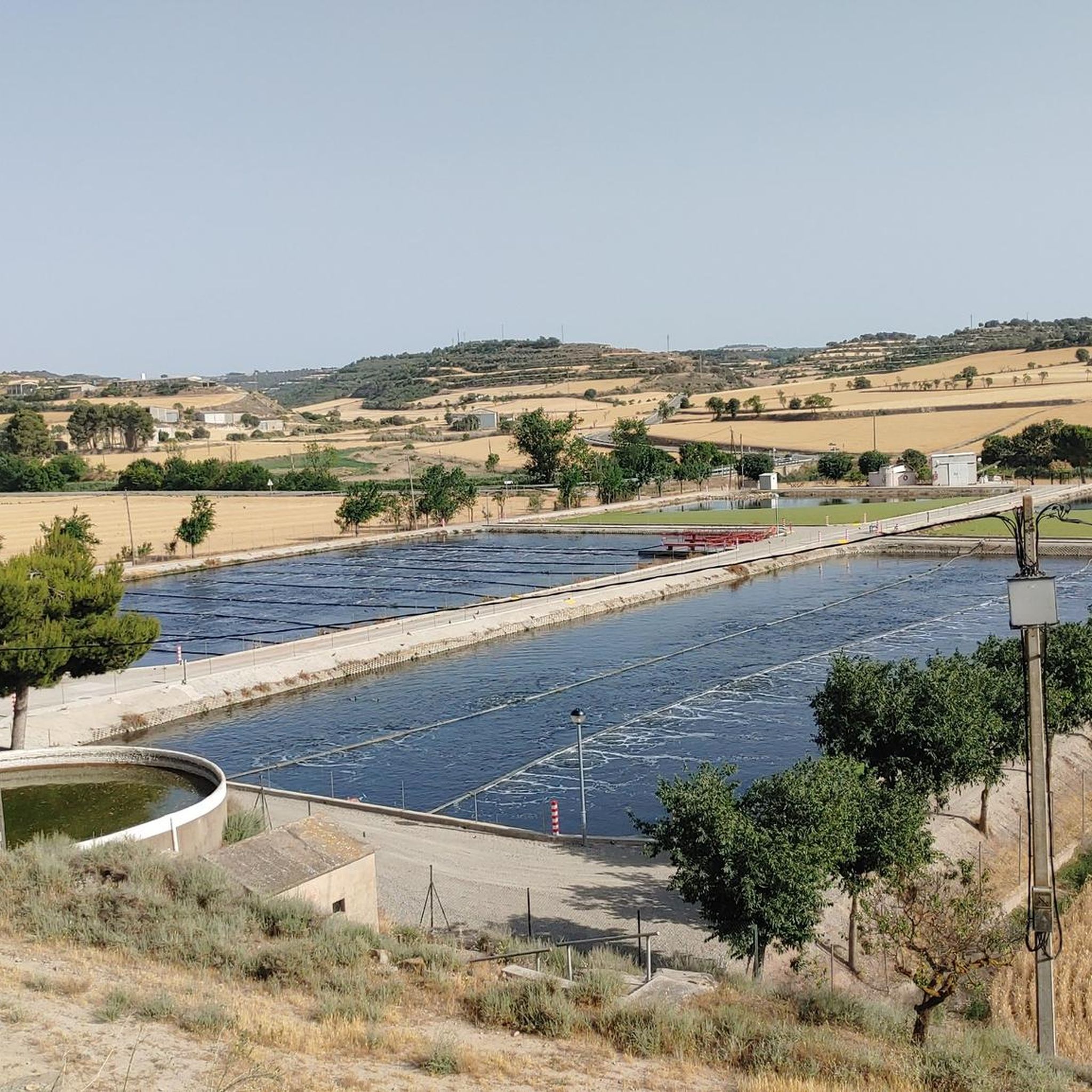
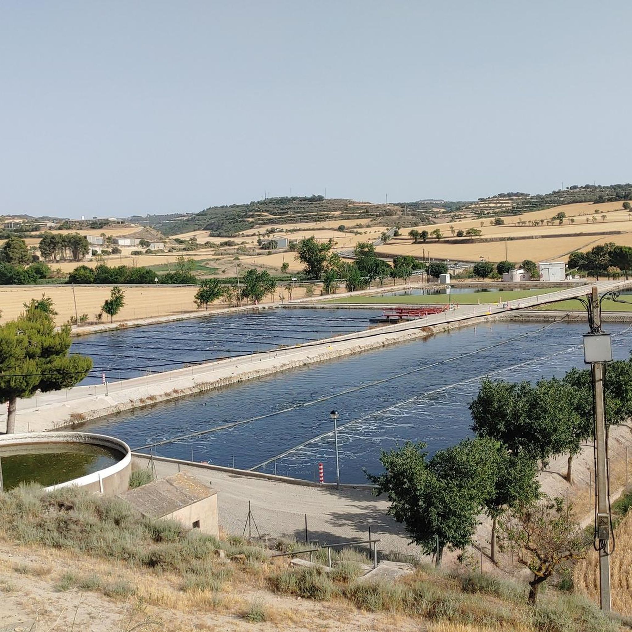
Sports area for kayaking and rafting on the Segre River, near the Roca del Call Park, in the town of Ponts. It is also the starting point of the Ranxo Gravel walk.
0
0
Small wooden bridge that allows you to cross the Llobregós at the level of its confluence with the Segre River.
0
0
It begins on the Segre River downstream from the town of Ponts and after traveling about 144 km it ends its route in the town of Montoliu de Lleida.
0
0
Small town located on top of a hill, abandoned, and part of the La Noguera region.
0
0

Agramunt is best known for its traditional nougat and chocolate.
0
0

The Ruins of San Vicente de Almenara are located in the municipality of Agramunt. This historic site is known for its remains of an ancient Romanesque church dating back to the 11th century. The ruins are located in a picturesque natural setting, ideal for hiking and mountain biking enthusiasts.
5
0
The Pilar de Almenara is a medieval defensive tower located at the top of the Sierra de Almenara, near Agramunt, in the Urgell region of Catalonia. This tower, dating from the 11th and 12th centuries, is 14 meters high and offers stunning panoramic views of the Urgell plain. The tower was used for surveillance and defense against Saracen raids and is similar to other Christian defensive towers in the region. From the top, on clear days, you can see as far as the Seu Vella de Lleida.
8
0
Frequently Asked Questions
How many gravel bike trails are available in Els Plans De Sió?
There are over 60 gravel bike trails in Els Plans De Sió, offering a wide range of options for different skill levels and preferences.
Are there easy or family-friendly gravel bike routes in Els Plans De Sió?
Yes, Els Plans De Sió offers several easy gravel bike trails suitable for beginners and families. There are 4 routes specifically categorized as easy, providing a gentle introduction to the region's landscapes.
What kind of terrain can I expect on gravel bike trails in Els Plans De Sió?
The region is characterized by agricultural plains, river valleys, and historical sites. You'll encounter a mix of rolling terrain and some significant climbs, with routes often passing by ancient castles, churches, and abandoned villages. Gravel roads and tracks provide varied surfaces for cycling.
Are there challenging gravel bike routes for experienced riders in Els Plans De Sió?
Absolutely. For experienced riders seeking a challenge, there are 27 difficult gravel bike routes. One notable difficult route is the Abandoned Village of Claret – Start of the Canal d'Urgell loop from Montfalcó d'Agramunt, which covers over 100 km and features significant elevation gain.
What historical sites or landmarks can I see along the gravel bike trails?
Many gravel bike routes in Els Plans De Sió pass by fascinating historical sites. You can explore places like the town of Cervera, the Pilar de Almenara Tower, and the Ruins of San Vicente de Almenara. The Church of Mont-Roig – Pilar de Almenara Tower loop from Agramunt is a great option for historical exploration.
Are there any castles to explore on gravel bike routes in the region?
Yes, Els Plans De Sió is rich in castles. You can find routes that lead past or near impressive structures such as Montfalcó Murallat, Florejacs Castle, Castell de l'Aranyó, and Castillo de Montcortés. The Castillo de Montcortés – Castell de l'Aranyó loop from Cervera is a moderate route that visits two of these castles.
What are the typical durations for gravel bike rides in Els Plans De Sió?
Ride durations vary significantly depending on the route's length and difficulty. For example, the Kayak Zone on the River – Backside fun gravel road loop from Cabanabona typically takes around 3 hours 53 minutes, while longer, more challenging routes can extend to 7 hours 30 minutes or more.
Are the gravel bike routes in Els Plans De Sió typically circular?
Many of the gravel bike routes in Els Plans De Sió are designed as loops, allowing you to start and finish at the same point. This is convenient for planning and often provides a varied scenic experience without retracing your steps.
What do other cyclists enjoy most about gravel biking in Els Plans De Sió?
The area is highly rated by the komoot community, with an average score of 4.3 stars from over 10 reviews. Cyclists often praise the diverse landscape, the historical points of interest along the routes, and the well-maintained gravel roads that connect them.
When is the best time of year to go gravel biking in Els Plans De Sió?
Spring and autumn generally offer the most pleasant conditions for gravel biking in Els Plans De Sió, with milder temperatures and less extreme weather. Summers can be hot, while winters are cooler but often still suitable for riding, especially on sunny days.
Are there less crowded gravel bike trails in the region?
While some popular routes attract more riders, the extensive network of gravel roads and tracks in Els Plans De Sió means you can often find quieter trails, especially on weekdays or by exploring some of the less-trafficked loops. Look for routes that venture further into the agricultural plains or smaller villages for a more secluded experience.
Most popular routes around Els Plans De Sió
Most popular attractions around Els Plans De Sió

Get inspired with the komoot mobile app


Explore more
Browse the best Gravel rides in other regions.
