The best gravel rides around Ciguñuela
4.5
(44)
317
riders
75
rides
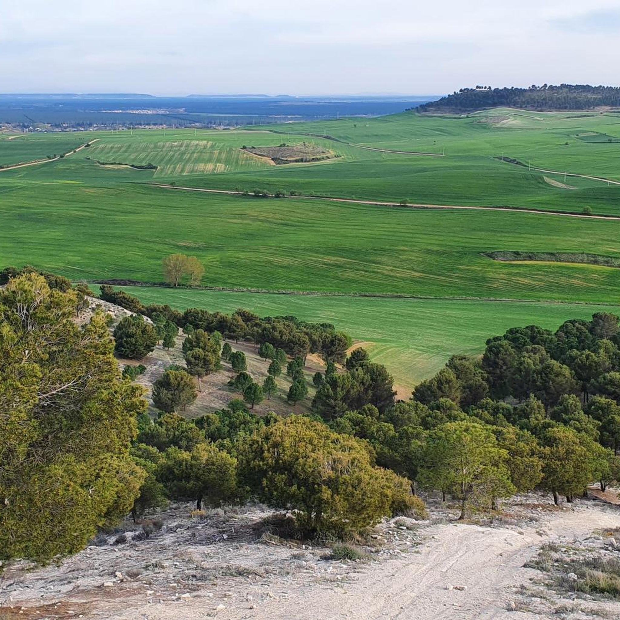
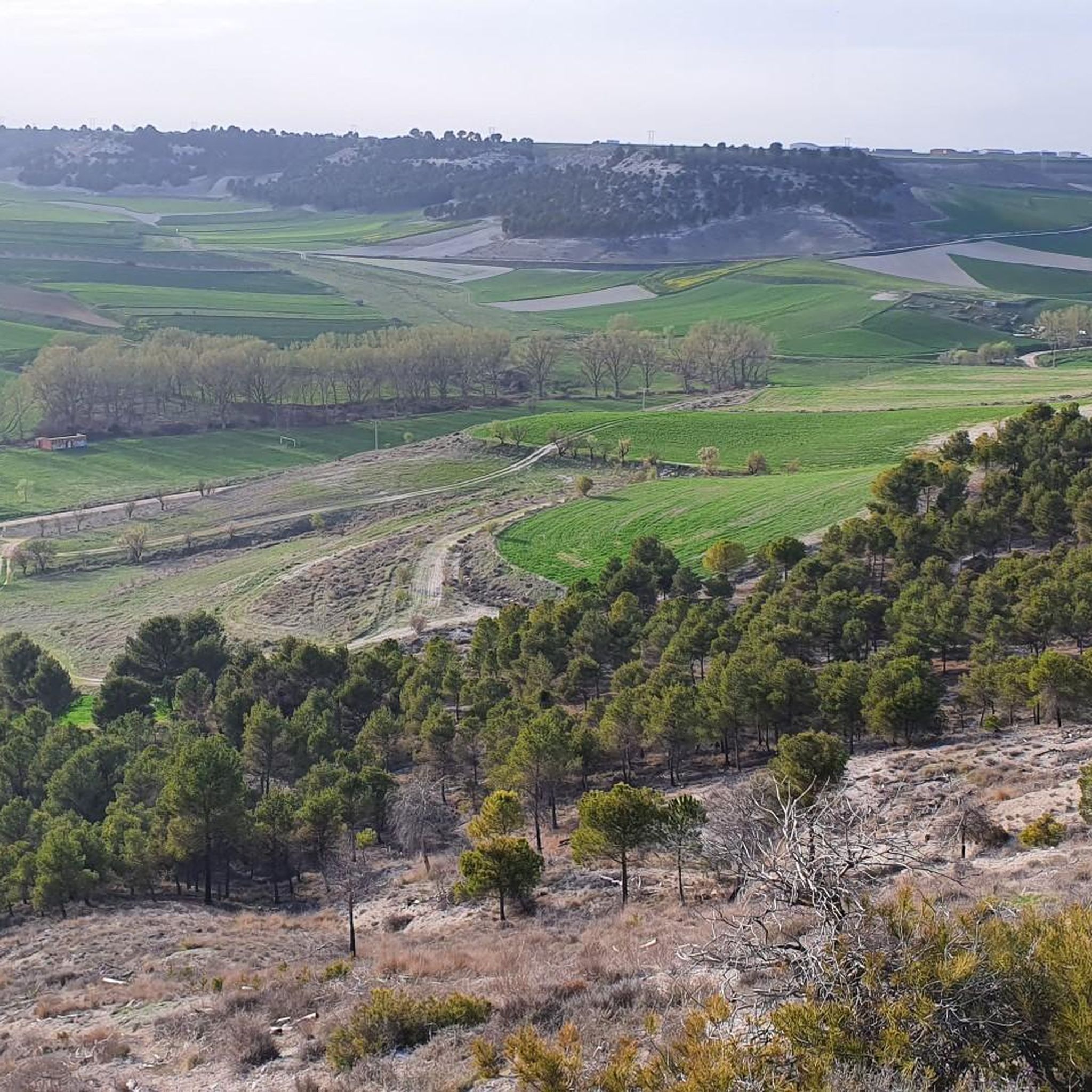
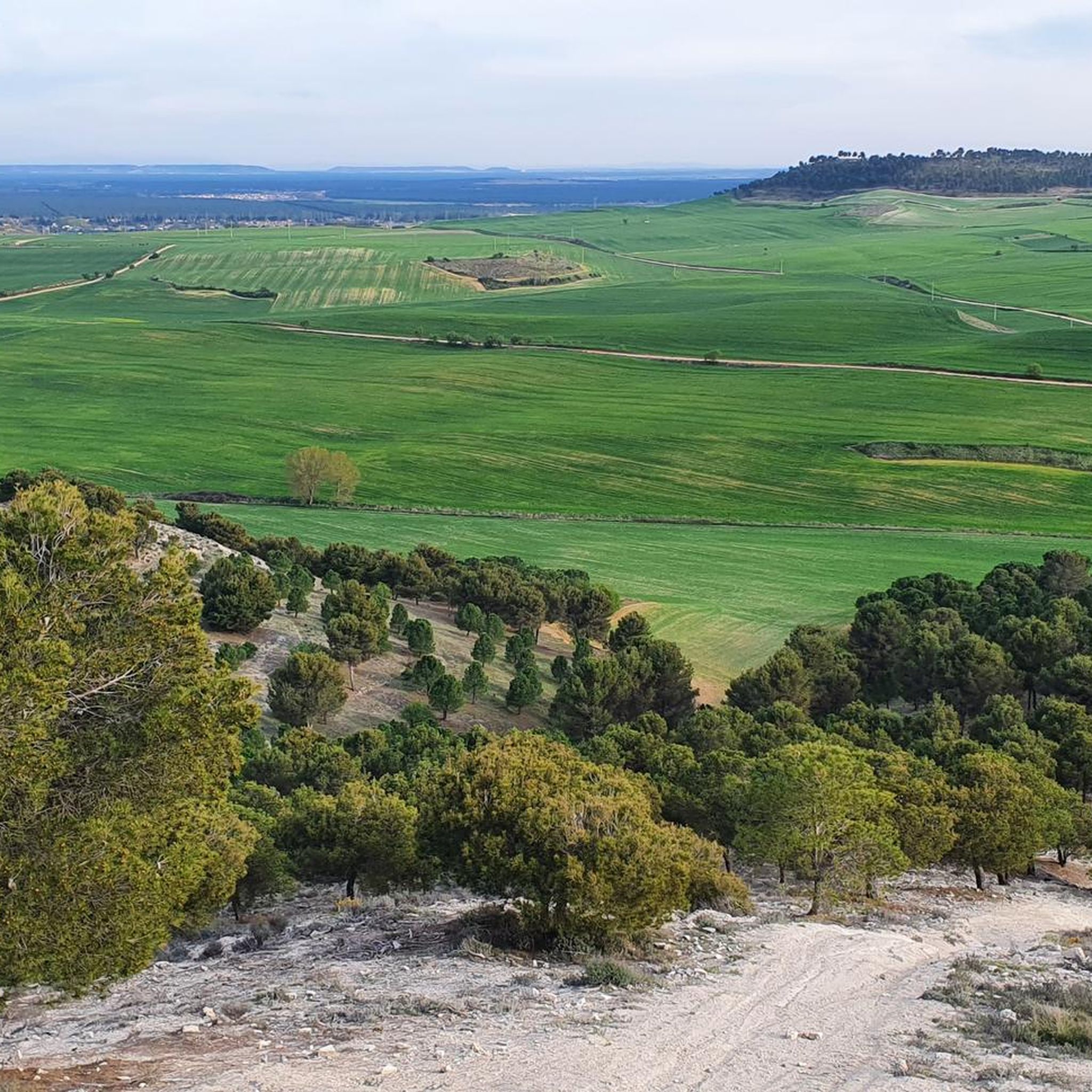
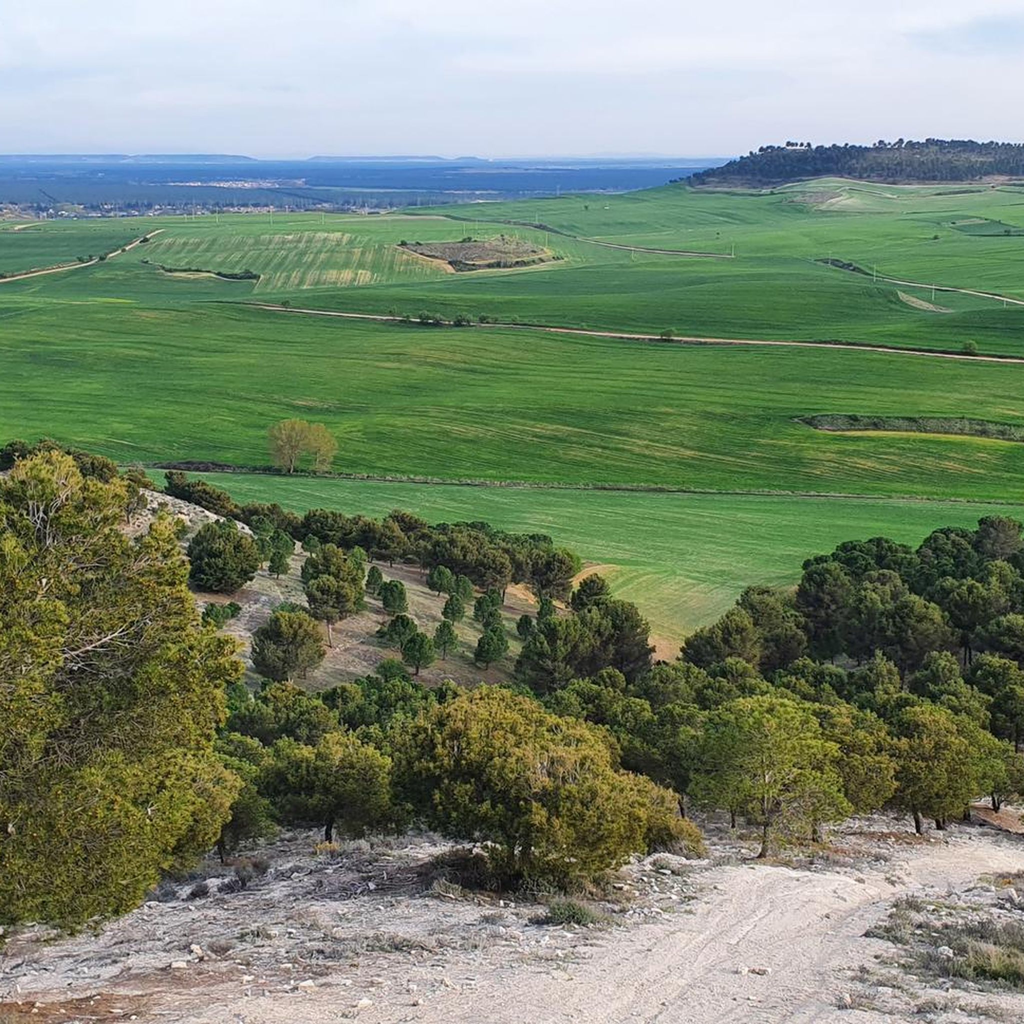
Gravel biking around Ciguñuela features routes that traverse the flat to gently rolling terrain of the region, often following river courses and agricultural landscapes. The area is characterized by open fields, riverside paths, and historical structures like old mills and bridges. Elevation changes are generally modest, with most routes featuring hills rather than significant climbs. The landscape provides varied surfaces suitable for gravel bikes, including compacted dirt roads and paved sections.
Best gravel bike trails around Ciguñuela
- The most popular…
Last updated: July 8, 2026
5.0
(2)
26
riders
Hard gravel ride. Very good fitness required. Mostly paved surfaces. Suitable for all skill levels.
3.7
(3)
32
riders
Moderate gravel ride. Good fitness required. Mostly paved surfaces. Suitable for all skill levels.

Sign up for free
11
riders
Hard gravel ride. Very good fitness required. Mostly paved surfaces. Suitable for all skill levels.
4.3
(3)
15
riders
Moderate gravel ride. Good fitness required. Mostly paved surfaces. Suitable for all skill levels.
19
riders
47.4km
03:09
220m
220m
Hard gravel ride. Good fitness required. You may need to push your bike for some segments of this route.
Get access to more routes and recommendations from other explorers.
Sign up for free
Already have an account?
Our route recommendations are based on thousands of hikes, rides, and runs completed by other people on komoot.
Start today with a free account
Your next adventure awaits.
Login or Signup

Tips from the Community

Another path that must be taken, no matter what.
0
0
Stop and take a picture
0
0

The medieval bridge over the Duero River, with its perfectly aligned arches, connects the historic center to the opposite bank. The monumental skyline of Tordesillas, highlighting the Plaza Mayor, the Casas del Tratado (Houses of the Treaty), and the Monastery of Santa Clara, all framed by reddish rooftops and the silhouette of the Church of San Antolín. The Duero River winds beneath the bridge, its reflections shifting with the changing light, creating a highly photogenic scene. Natural surroundings: riverside vegetation and, in autumn, golden hues that enhance the scenery.
6
0
The view of the Stone Bridge and Tordesillas from the viewpoint on Avenida de Portugal is considered one of the most beautiful panoramas of the town.
6
0

It is always very impressive to look at the canalization.
3
0

Make sure you carry sufficient water, when the temperatures get in to mid to high 30's the stretch between refills can be long.
0
0

Impressive, getting there by taking the Camino del Canal and seeing it is cool, easy access by a good track or from the road
0
0

Nice route along the river bank is gravel
3
0
Frequently Asked Questions
What is the general difficulty level of gravel biking trails around Ciguñuela?
Gravel biking around Ciguñuela offers a range of difficulties. While the terrain is generally flat to gently rolling, routes vary from moderate to difficult. There are 28 moderate routes and 21 difficult routes available, providing options for various skill levels.
What are the typical lengths and durations of gravel bike trails in the Ciguñuela area?
The gravel bike trails in Ciguñuela vary significantly in length and duration. For example, the Ruins of a flour mill – Puente Mayor de Palencia loop from Valladolid - Campo Grande is a challenging 63.4-mile (102.1 km) route that can take over 9 hours. Shorter, moderate options like the First Lock from Valladolid – Ruins of a flour mill loop from Valladolid - Campo Grande cover about 32.7 miles (52.7 km) and take around 3.5 hours.
Are there any gravel bike routes suitable for beginners or families in Ciguñuela?
While many routes are moderate to difficult, there are 6 easier routes available in the Ciguñuela area. For a moderate option that could be suitable for those looking for a less strenuous ride, consider the Rest Area on the Greenway – Esgueva River Trail loop from Valladolid - Campo Grande, which is about 25.4 miles (40.9 km) long.
What kind of landscapes and sights can I expect to see along the gravel bike trails?
Gravel bike trails around Ciguñuela traverse open fields, follow river courses, and pass by historical structures. You'll encounter riverside paths, agricultural landscapes, and potentially old mills and bridges. The region is characterized by modest elevation changes, focusing on river valleys and cultural landmarks.
What do other gravel bikers enjoy most about gravel biking in Ciguñuela?
The area is highly rated by the komoot community, with an average score of 4.6 stars from over 18 reviews. Reviewers often praise the varied terrain, which includes river paths and open agricultural land, as well as the historical landmarks encountered along the routes.
Are there any circular gravel bike routes available in Ciguñuela?
Yes, many of the gravel bike trails in Ciguñuela are designed as loops. Examples include the View of the Simancas Bridge – Simancas Stone Bridge loop from Valladolid - Campo Grande, which is a 48.1-mile (77.4 km) route, and the MTB Pump Track – Antequera Pine Forest loop from José Zorrilla Stadium, covering 29.4 miles (47.3 km).
What are some interesting landmarks or attractions near the gravel bike trails in Ciguñuela?
While riding, you might pass by several historical sites. Notable attractions in the wider area include Fuensaldaña Castle and Castillo de Simancas. You can also find historical sites like the Plaza Mayor of Valladolid and the Church of Santa María la Antigua nearby.
How many gravel bike trails are there in the Ciguñuela region?
There are over 50 gravel bike trails available for exploration in the Ciguñuela region, offering a wide variety of options for different preferences and skill levels.
Is public transport accessible to reach the starting points of gravel bike trails?
Many popular gravel bike routes in the Ciguñuela area, such as those starting from "Valladolid - Campo Grande" or "José Zorrilla Stadium," are located near urban centers, suggesting good public transport connections. Specific details for each route's accessibility can be found on its individual komoot tour page.
Are there any less crowded gravel bike trails in Ciguñuela?
While specific crowd levels can vary, exploring some of the less-known routes or riding during off-peak hours (weekdays, early mornings) can help you find quieter experiences. The region offers 55 distinct routes, so there are many options beyond the most popular ones to discover a more serene ride.
What is the best time of year for gravel biking in Ciguñuela?
The Ciguñuela region experiences varied weather. Generally, spring and autumn offer pleasant temperatures for gravel biking. Summers can be hot, while winters might bring cooler conditions. It's always advisable to check the local weather forecast before heading out and dress appropriately for the season.
Most popular attractions around Ciguñuela

Get inspired with the komoot mobile app


Explore more
Browse the best Gravel rides in other regions.
