The best gravel rides around Godelleta
28
riders
31
rides
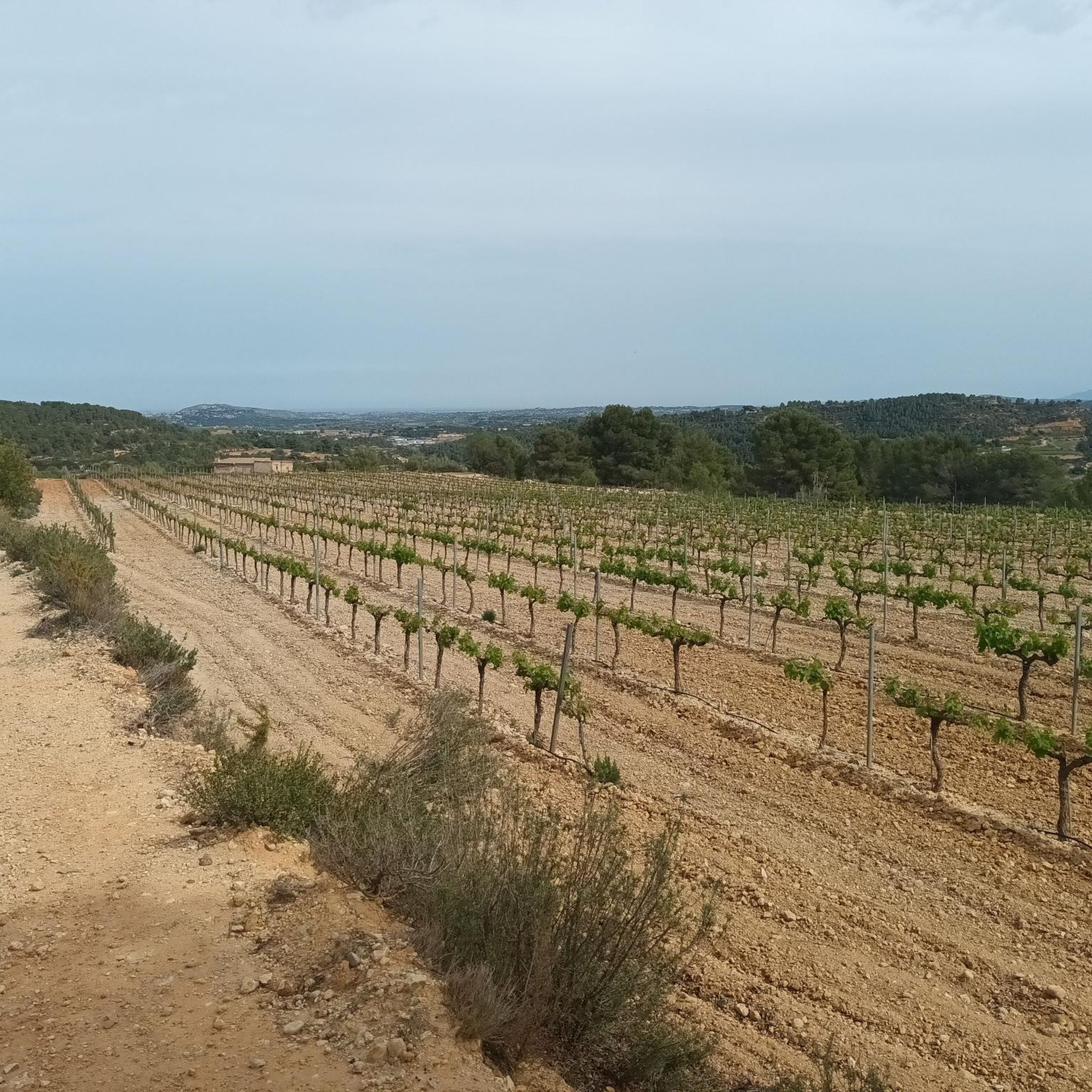
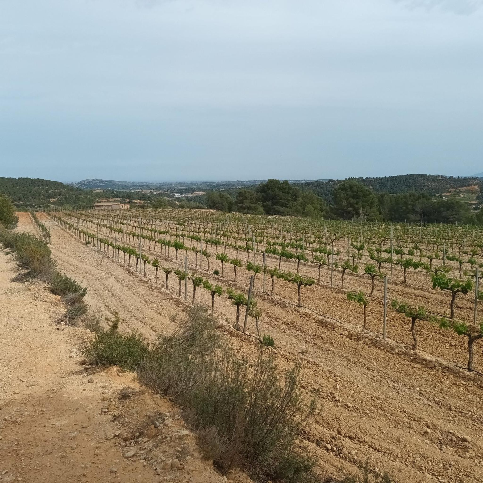
Gravel biking around Godelleta offers a network of routes through varied terrain. The region is characterized by its rolling hills, agricultural landscapes, and occasional forested sections, providing a mix of surfaces for gravel cyclists. Elevations typically involve moderate climbs and descents, with some routes featuring significant elevation gain. The area's natural features include dry riverbeds and open country, suitable for longer distance gravel routes.
Best gravel bike trails around Godelleta
- The most popular gravel bike trail is Agricultura Fountain –…
Last updated: July 8, 2026
5
riders
59.9km
04:30
770m
770m
Hard gravel ride. Very good fitness required. Mostly paved surfaces. Suitable for all skill levels.
8
riders
53.9km
03:55
930m
930m
Hard gravel ride. Very good fitness required. Mostly paved surfaces. Suitable for all skill levels.

Sign up for free
6
riders
60.7km
04:26
1,100m
1,100m
Hard gravel ride. Very good fitness required. Mostly paved surfaces. Suitable for all skill levels.
6
riders
70.2km
04:47
830m
830m
Hard gravel ride. Very good fitness required. Mostly paved surfaces. Suitable for all skill levels.
5.0
(1)
5
riders
42.8km
03:00
810m
810m
Hard gravel ride. Very good fitness required. Mostly paved surfaces. Suitable for all skill levels.
Get access to more routes and recommendations from other explorers.
Sign up for free
Already have an account?
Our route recommendations are based on thousands of hikes, rides, and runs completed by other people on komoot.
Start today with a free account
Your next adventure awaits.
Login or Signup
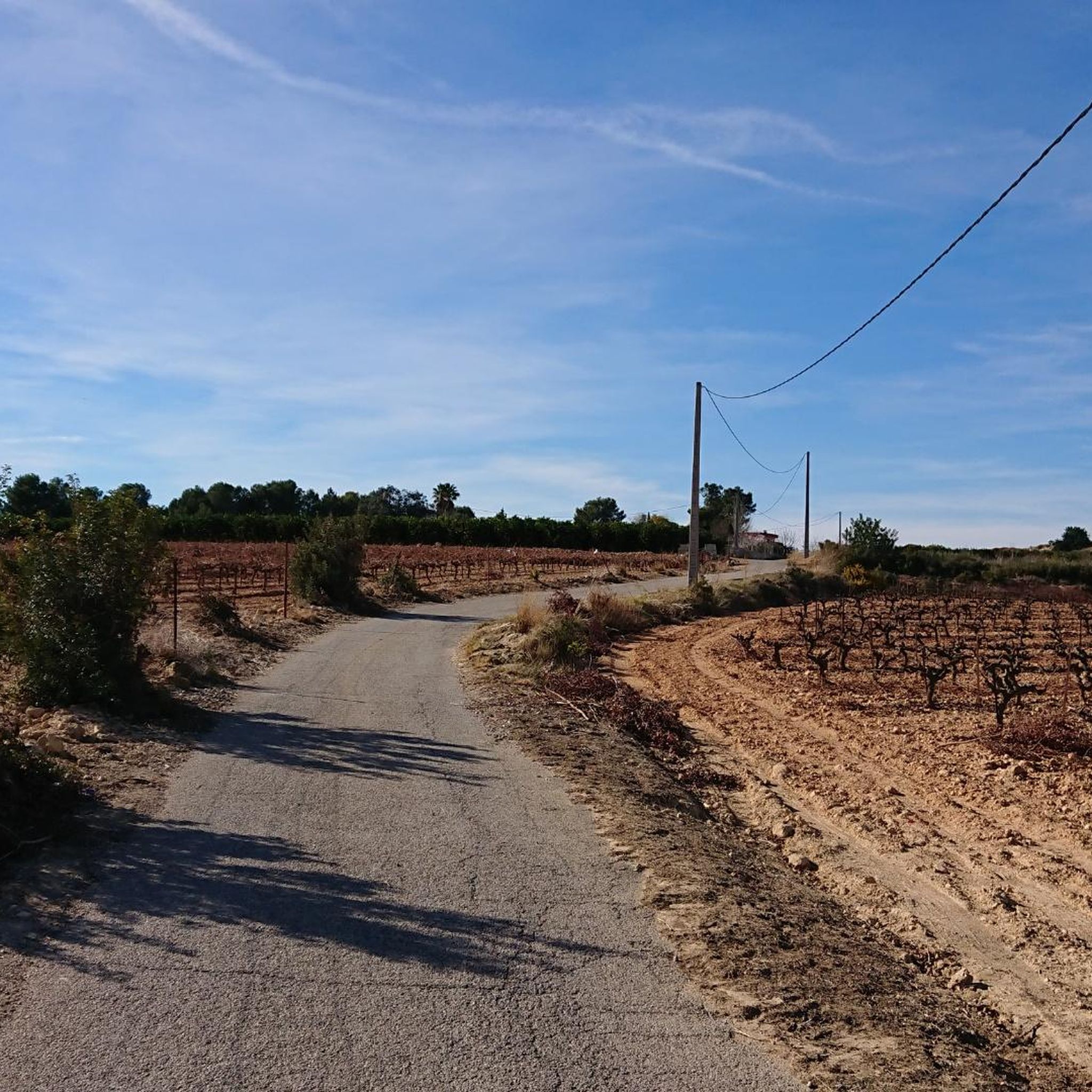
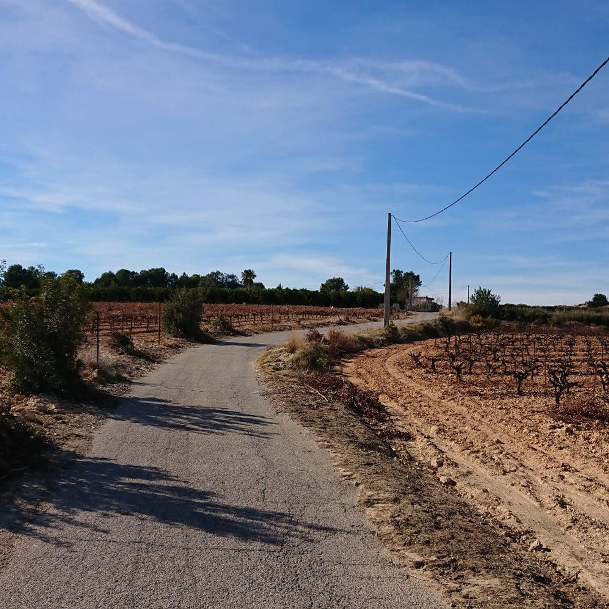
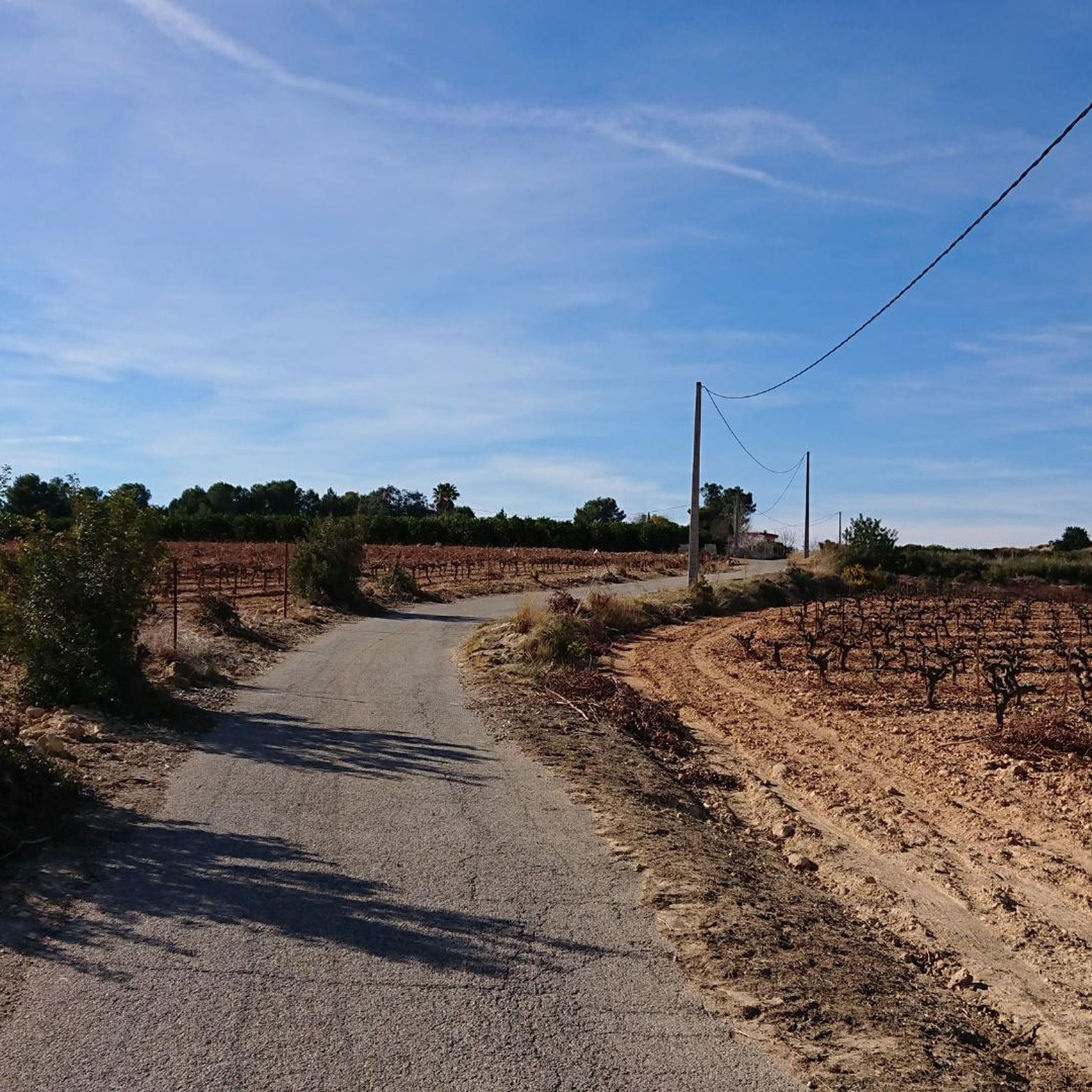
Tips from the Community

La Roda és un edifici hidràulic que elevava les aigües de la Séquia de Fondos a la Bassa de La Roda, construït a principis del s. XVIII en fusta i composta per 8 radis. Està proveïda en la perifèria de 40 pales, sobre les quals actuava la força de l’aigua, fent-la girar sobre un eix de ferro. Qui volia regar, demanava torn al president de l’horta, que li donava la clau de la porta de la bassa on estava el roll. És l’única nòria vertical de la zona, associada a la Séquia de Fondos. Encara que fins a 2002 encara s'usava, la falta de cabal i el canvi a un altre sistema de regadiu, van fer que deixara de funcionar i que s'anara deteriorant. Va ser restaurada en 2007 amb la col·laboració de la Diputació de València, quedant a la vista dels vianants (la construcció original estaba instal·lada dins una caseta de mamposteria que la protegia). El seu entorn també es va rehabilitar per a revitalitzar la zona i fomentar el turisme rural. En el seu dia, el conjunt estava compost per la nòria i la bassa amb les quals es regaven unes 90 fanecades de la partida homónima. Molt prop hi ha un pontet sobre el riu Bunyol en un paratge molt frondós i agradable.
1
0

The slope coming from Yatova is 3.1 km with 152 m of positive elevation gain, leaving an average gradient of 5.0% and a maximum of 9.3% (according to the Diputación signs, which provide information at the start, sections every 1 km, and the end). Asphalt in very good condition, mostly quiet road with no traffic.
0
0

Save your energy, as the final climbs are short but quite steep.
0
0

The road towards Cuevas del Turche is currently closed - construction site!
4
0

Very nice walk and above all a very beautiful place
0
0
Recreational area with tables and chairs and Municipal Camping Area
0
0
For now, water is only flowing through the drinking trough. The fountain appears to be turned off.
1
0

At this point on the road from Yátova, there is a sign indicating Puerto de Cardera. If you descend along a track from Puntal de la Nevera, you will reach this pass. Further along the road is Collado de los Tormos, which leads to a path that descends to the Forata reservoir.
1
0
Frequently Asked Questions
How many gravel bike trails are available around Godelleta?
There are over 30 gravel bike routes available around Godelleta on komoot, offering a wide range of options for your cycling adventures.
Are there any easy gravel bike trails suitable for beginners or families in Godelleta?
The gravel biking routes around Godelleta are generally categorized as moderate to difficult, with significant elevation changes. There are no easy routes listed, so beginners and families might find these trails challenging.
What kind of terrain can I expect on gravel bike routes in Godelleta?
You can expect varied terrain, including rolling hills, agricultural landscapes, and occasional forested sections. The region also features dry riverbeds and open country, providing a mix of surfaces for gravel cyclists.
Are there any long-distance gravel routes around Godelleta?
Yes, many routes in the Godelleta area are designed for longer distances. For example, the Balsa Barreta – Albergue de Cárcama loop from Loriguilla - Reva is nearly 70 km long, offering a substantial ride through the landscape.
What are some scenic highlights or viewpoints I can discover on these trails?
Many routes offer scenic views. For instance, the View of Montserrat and El Real – L'Estepar Viewpoint loop from Real provides stunning vistas. You can also find the Viewpoint of the tower of Montroi Castle along some routes, offering historical and panoramic sights.
Are there any waterfalls or natural pools to visit along the gravel bike routes?
Yes, the region boasts several beautiful natural water features. You could encounter the Turche Cave Waterfall, the Beautiful pool on the Juanes River, or the Cave of the Doves and Yátova Waterfall. The Turche Cave Waterfall – Buñol loop from Buñol specifically passes by the Turche Cave Waterfall.
What is the best season for gravel biking in Godelleta?
Given the region's characteristics, spring and autumn are generally the most pleasant seasons for gravel biking in Godelleta. The weather is milder, avoiding the intense heat of summer and the cooler, potentially wetter conditions of winter. This allows for more comfortable rides through the open country and dry riverbeds.
Are there any historical sites or castles accessible by gravel bike?
Absolutely. The area is rich in history. You can find routes that pass near or offer views of historical structures like the Tower of the Castle of Montroy, Buñol Castle, and Chiva Castle. These add an interesting cultural dimension to your ride.
What should I pack for a gravel biking trip in Godelleta?
Considering the varied terrain and potential for longer rides, it's advisable to pack essentials such as plenty of water, snacks, a repair kit (including spare tubes and a pump), sun protection, and appropriate layers of clothing. Given the significant elevation changes, a good GPS device or a downloaded komoot tour is also highly recommended.
Are there many circular gravel bike routes in the Godelleta area?
Yes, many of the gravel bike routes around Godelleta are designed as loops, allowing you to start and finish at the same point. Examples include the Agricultura Fountain – La Roda loop from Montroi and the Turia-Cabriel Nature Trail – La Alhóndiga Spring loop from Buñol.
Is public transport an option for accessing gravel bike trails in Godelleta?
Information on specific public transport links directly to trailheads is not readily available. It's generally recommended to plan your route with a starting point accessible by car, or to research local bus services to nearby towns like Buñol or Montroi, from where you can begin your ride.
What do other gravel bikers enjoy most about Godelleta?
Gravel bikers frequently praise the diverse landscapes, from rolling hills to agricultural fields and natural trails. The region offers a good challenge with its moderate to advanced routes and significant elevation gains, making it a rewarding destination for those seeking a varied and engaging ride.
Most popular attractions around Godelleta

Get inspired with the komoot mobile app


Explore more
Browse the best Gravel rides in other regions.
