The best gravel rides around Puddletown
4.3
(8)
39
riders
8
rides
Gravel biking around Puddletown offers diverse terrain through Dorset's varied landscapes. The area features extensive networks of trails within Puddletown Forest, alongside picturesque river valleys influenced by the River Piddle. Riders can navigate a mix of tracks, quiet roads, and cycleways, often encountering chalk hills and remnants of heathland. This region provides a blend of challenging and scenic routes suitable for exploration on two wheels.
Best gravel bike trails around Puddletown
- The most popular gravel bike trail is Ridgeway Hill…
Last updated: July 3, 2026
4
riders
60.1km
03:52
520m
520m
Hard gravel ride. Very good fitness required. Mostly paved surfaces. Suitable for all skill levels.
4.5
(2)
12
riders
36.1km
02:09
210m
210m
Moderate gravel ride. Good fitness required. Mostly paved surfaces. Suitable for all skill levels.

Sign up for free
5.0
(1)
6
riders
32.1km
02:13
430m
430m
Moderate gravel ride. Good fitness required. Mostly paved surfaces. Suitable for all skill levels.
5.0
(1)
3
riders
44.1km
02:58
380m
380m
Moderate gravel ride. Good fitness required. Mostly paved surfaces. Suitable for all skill levels.
4.0
(1)
3
riders
28.4km
02:02
310m
310m
Moderate gravel ride. Good fitness required. Mostly paved surfaces. Suitable for all skill levels.
Get access to more routes and recommendations from other explorers.
Sign up for free
Already have an account?
Our route recommendations are based on thousands of hikes, rides, and runs completed by other people on komoot.
Start today with a free account
Your next adventure awaits.
Login or Signup
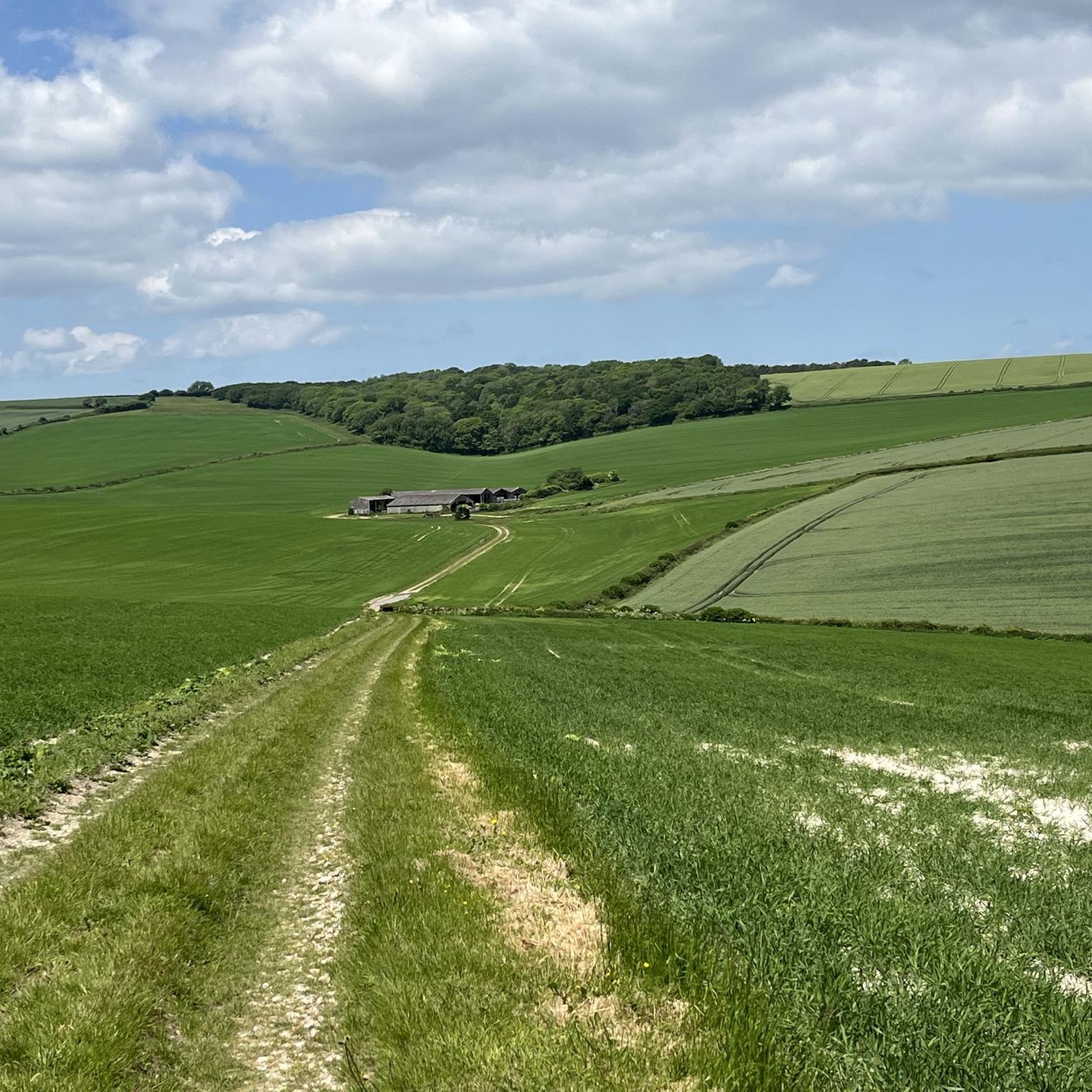
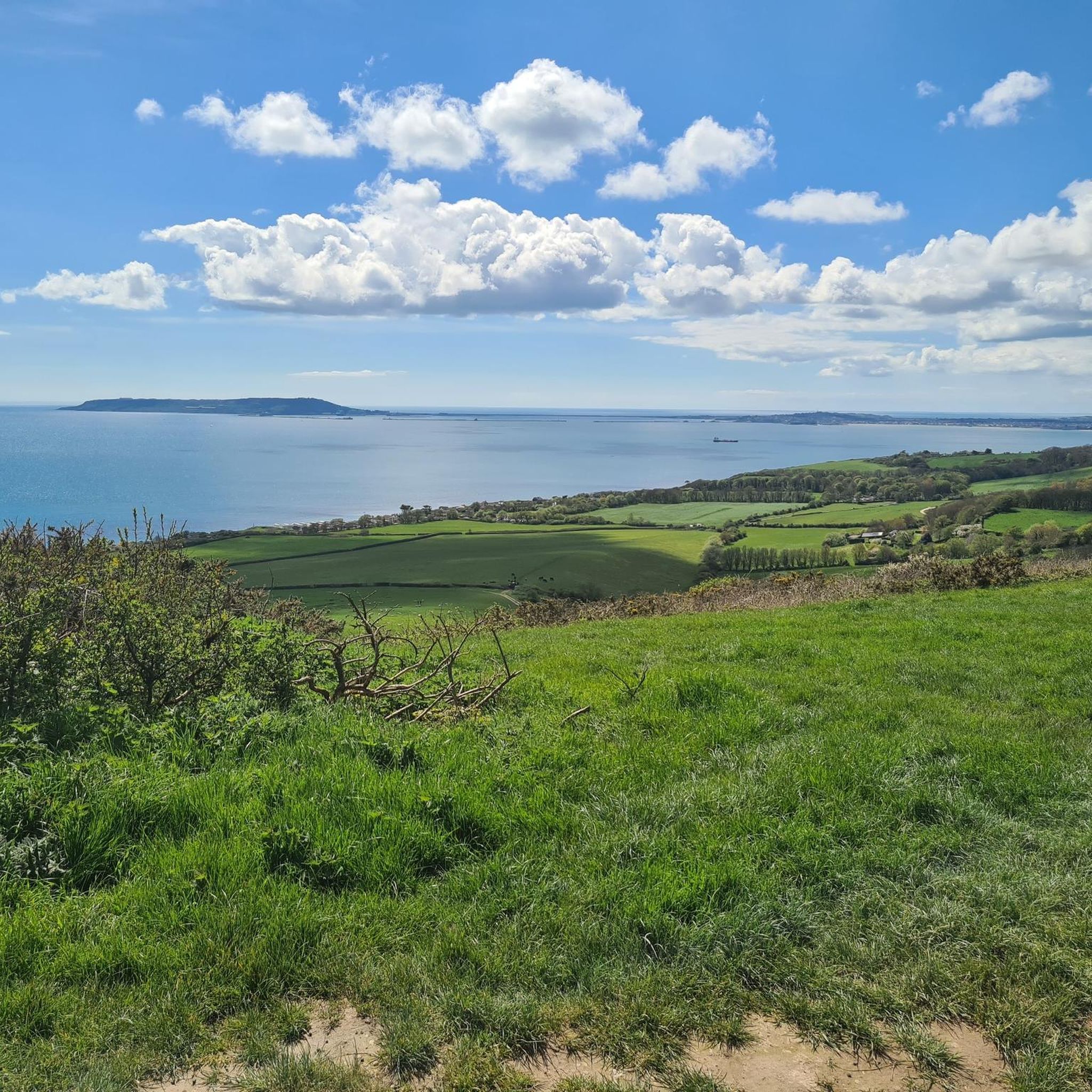
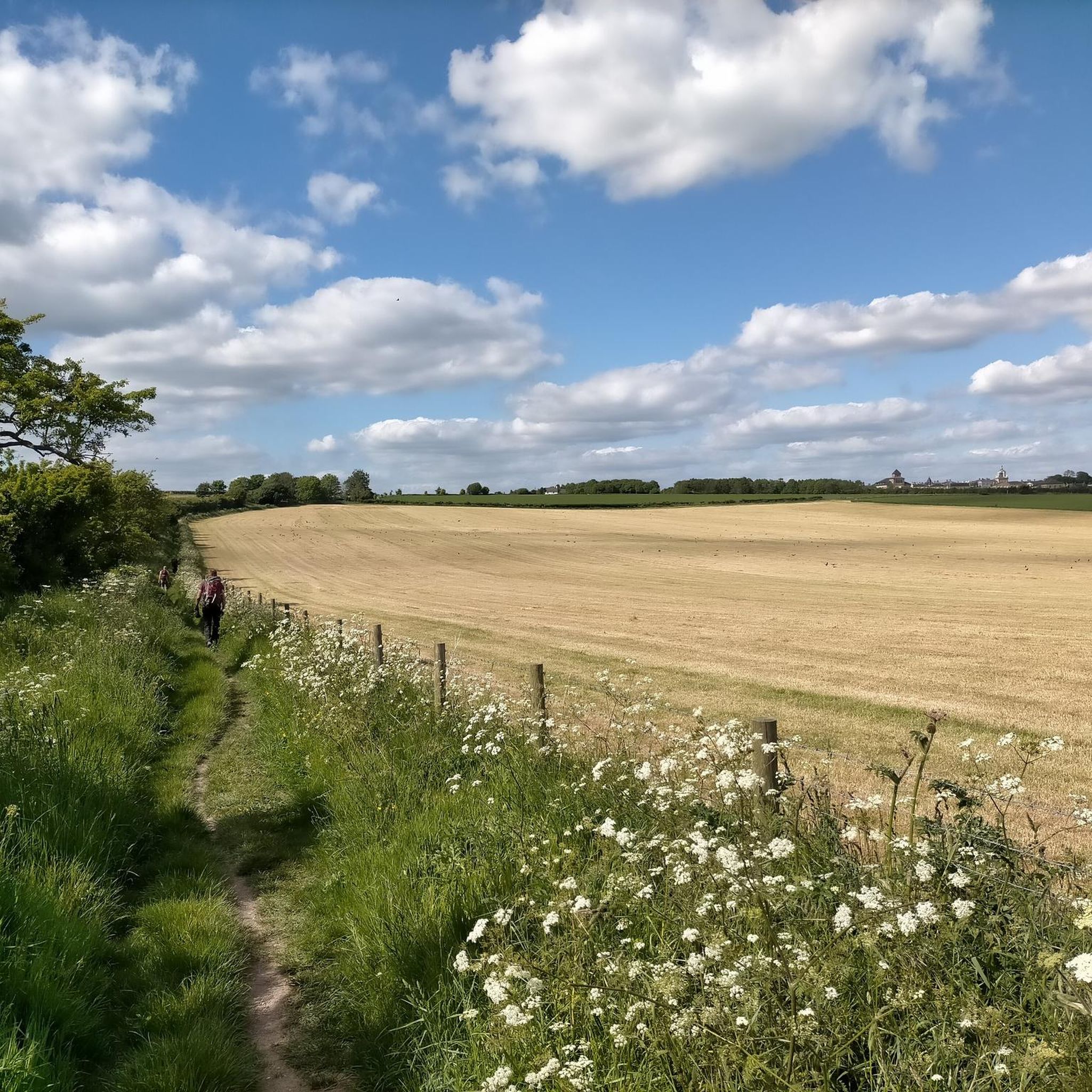
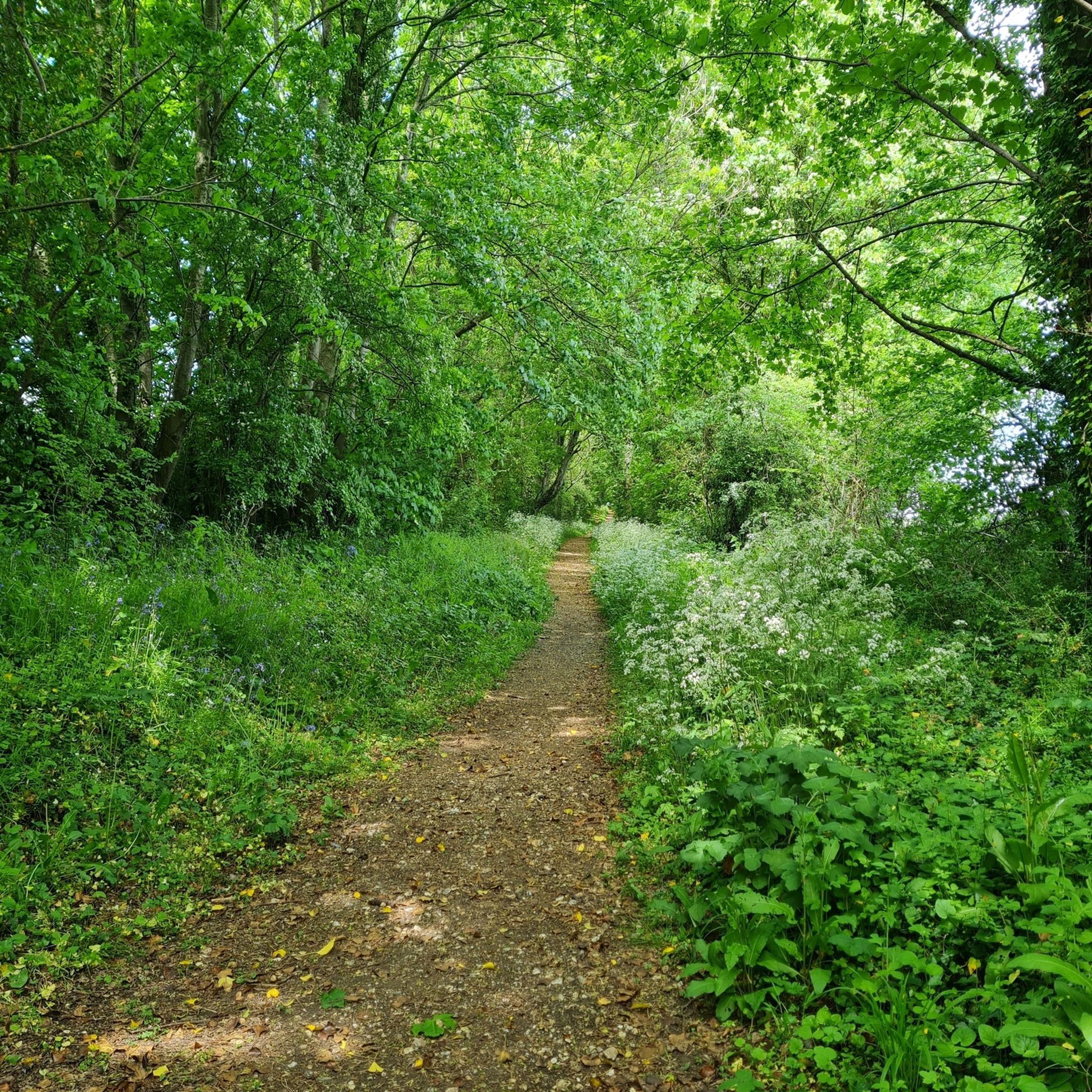
Tips from the Community

Maiden Castle from afar? It’s basically Dorset’s ultimate, oversized plate of grass lasagna. A massive, lumpy green ripple on the horizon that makes you think, "Wow, the Celts really hated mowing the lawn."
0
0
Part of the 17 mile Spine ( The Dead City ).
0
0
Hardy’s Monument: climb 120 steps to look like a sweaty mess, just so you can stare at Dorset, the sea, and sheep that look like popcorn. On a clear day, you can see your house!
0
0
The North Dorset Trailway Connection Today, Spetisbury Station is a popular access point for the North Dorset Trailway. Trailhead: The section of the Trailway running from Spetisbury north to Sturminster Newton, largely following the old railway bed, is a well-maintained, traffic-free path for walking, cycling, and riding. Visitor Stop: The former station site makes a perfect place to stop, rest, and picnic while exploring the Trailway, offering fine views over the Stour Valley. It's a wonderful example of local history being preserved and repurposed for community and recreation!
0
0
The Spetisbury Station Project Unlike the bridge at Blandford, which remains a preserved structure, the Spetisbury station site is being actively restored by volunteers. The Project: The Spetisbury Station Project Group was formed in 2012 by dedicated volunteers to clear and preserve the abandoned site. What You Can See: While the original station buildings were demolished shortly after the 1956 closure, the project has cleared the site to reveal the foundations of the station buildings, the booking office, and the signal box. Ambience: The site is now a peaceful, landscaped green space featuring picnic areas, benches, and information boards. Volunteers have added replica signage and restored the platforms to recreate the atmosphere of the former country station. Wildlife Haven: The site is also managed to be a haven for local wildlife, with features like a wildlife pond, bat boxes, and specific flower borders.
0
0
The Railway and Closure Original Line: Spetisbury Station was located on the Somerset & Dorset Joint Railway (S&DJR), which connected Bath to Bournemouth. Opening: It originally opened on November 1, 1860, as part of the Dorset Central Railway's line from Wimborne to Blandford. It initially had a single platform. Double Track: Around 1901, the line was doubled through the station, and a second platform and a signal box were added to handle the increased traffic. Downgrade: Like many rural stations seeking to cut costs, it was downgraded to an unstaffed "halt" in 1934. Passenger Closure: The station closed completely to passengers on September 17, 1956, one of the early closures on the S&D line. Line Closure: Although the station itself was closed, the main S&DJR line through the site continued to operate passenger services until the whole route closed in March 1966. Goods traffic ceased in 1969, and the track was lifted in 1970.
0
0

Quite casually, you'll find yourself standing in the middle of a millennia-old place, which Celts, Romans, Anglo-Saxons, and Normans have repeatedly reshaped to suit their culture and needs. Those familiar with Old Sarum will recognize or compare many things (Salisbury). Two information panels allow you to immerse yourself in this tranquil place.
0
0

Frequently Asked Questions
What kind of terrain can I expect on gravel bike trails around Puddletown?
The Puddletown area offers a diverse mix of terrain, including extensive networks of trails within Puddletown Forest, quiet roads, and cycleways. You'll encounter picturesque river valleys, chalk hills, and remnants of heathland. Some routes, like the "West Dorset Loop" mentioned in local research, feature approximately 80% gravel and single track, suggesting knobbly tires can be beneficial for optimal grip.
Are there any family-friendly gravel bike routes in Puddletown?
While specific 'easy' routes are not detailed, the region offers a variety of trails with different ability levels, including 8 moderate routes. Puddletown Forest itself has public rights of way suitable for cycling, which can be explored with families. Look for routes that stick to quieter paths and cycleways for a more relaxed experience.
What historical landmarks or natural features can I see along the gravel bike trails?
Puddletown's gravel routes often pass by significant historical and natural attractions. You might encounter the ancient Maiden Castle hillfort, as seen on the Ridgeway Hill – View of Maiden Castle loop from Dorchester South. Other notable sights in the wider area include the striking Cerne Abbas Giant, the historic Athelhampton Gardens (featured on the River Piddle Crossing – Athelhampton Gardens loop from Dorset), and the River Piddle itself, which influences many scenic routes.
Are there any routes that go through Puddletown Forest?
Yes, Puddletown Forest is a central feature of the area's gravel biking. Many routes incorporate parts of the forest, offering a mix of conifer and broadleaf trees. While some unauthorized trails are being removed, public rights of way for cycling are available, allowing riders to enjoy its natural beauty and potentially discover historical secrets like an old Roman road or tumuli.
What is the difficulty level of gravel biking routes around Puddletown?
The routes around Puddletown cater to various skill levels. Our guide features 8 moderate routes and 1 difficult route, providing options for both experienced riders and those looking for a good challenge. The terrain can include varied surfaces, from tracks and quiet roads to more demanding gravel and single track sections.
Can I bring my dog on the gravel bike trails in Puddletown?
Many public rights of way in the Puddletown area, including those in Puddletown Forest, are generally dog-friendly. However, it's always recommended to keep dogs under control, especially in areas with livestock or protected wildlife, such as ground-nesting birds or rare reptiles found in the forest. Please check specific trail regulations if available.
What do other gravel bikers say about the routes in Puddletown?
The gravel biking routes in Puddletown are highly rated by the komoot community, with an average score of 4.5 stars from over 6 reviews. Riders often praise the diverse landscapes, the blend of challenging and scenic routes, and the opportunity to explore dense woodlands, river valleys, and chalk hills.
Are there any circular gravel bike routes available?
Yes, many of the gravel bike routes around Puddletown are designed as loops, allowing you to start and finish at the same point. Examples include the Wareham Quay – Sika Trail loop from Bere Regis and the Woodland Path Along the Stream – Frome Valley Trail loop from Dorchester South, offering convenient circular options for your ride.
Where can I find parking for gravel biking in Puddletown?
While specific parking locations for each trailhead are not detailed, Puddletown and nearby towns like Dorchester South (starting point for several routes) typically offer public parking facilities. When planning your ride, consider starting points that are easily accessible by car and check for local parking options in advance.
Are there any castles or historic manor houses accessible by gravel bike?
Yes, the region boasts several historic sites. You can find Woodsford Castle and Kingston Maurward Old Manor in the vicinity. Additionally, the River Piddle Crossing – Athelhampton Gardens loop from Dorset takes you past the beautiful Athelhampton Gardens, which is part of a historic estate.
What are the typical distances and elevation gains for gravel routes here?
The routes vary in length and elevation. For instance, the Bockhampton Bridge – River Piddle Crossing loop from Dorchester South covers approximately 42.9 km with around 370 meters of elevation gain. Shorter options like the River Piddle Crossing – Athelhampton Gardens loop from Dorset are about 23.5 km with over 210 meters of ascent, offering a range of challenges.
Can I reach Puddletown for cycling using public transport?
Puddletown itself is a village, and while local bus services might connect it to larger towns, direct public transport options specifically for cyclists with bikes can be limited. Larger nearby towns like Dorchester South, which serve as starting points for some routes, are more likely to have train or bus connections. It's advisable to check local public transport schedules and bike carriage policies before planning your trip.
Most popular routes around Puddletown
Most popular attractions around Puddletown

Get inspired with the komoot mobile app


Explore more
Browse the best Gravel rides in other regions.
