The best gravel rides around Horringer
4.4
(6)
88
riders
18
rides
Gravel biking around Horringer features diverse landscapes, primarily centered around Ickworth Park, an expansive estate offering a network of multi-use trails. The terrain varies from compacted gravel paths to more challenging sections, winding through ancient woodlands and open fields. The River Linnet, a stream flowing through sandy soil, is a notable natural feature that adds scenic elements to several routes. This combination of varied surfaces and natural settings provides a comprehensive gravel biking experience.
Best gravel bike trails around Horringer
…Last updated: July 3, 2026
3.0
(2)
37
riders
97.4km
05:53
430m
430m
Hard gravel ride. Very good fitness required. Mostly paved surfaces. Suitable for all skill levels.
5.0
(1)
30
riders
89.0km
05:35
510m
510m
Hard gravel ride. Very good fitness required. Mostly paved surfaces. Suitable for all skill levels.

Sign up for free
5.0
(1)
6
riders
Moderate gravel ride. Good fitness required. Mostly paved surfaces. Suitable for all skill levels.
4.0
(1)
11
riders
37.7km
02:29
150m
150m
Moderate gravel ride. Good fitness required. Mostly paved surfaces. Suitable for all skill levels.
5.0
(1)
4
riders
Easy gravel ride. Great for any fitness level. Mostly paved surfaces. Suitable for all skill levels.
Get access to more routes and recommendations from other explorers.
Sign up for free
Already have an account?
Our route recommendations are based on thousands of hikes, rides, and runs completed by other people on komoot.
Start today with a free account
Your next adventure awaits.
Login or Signup

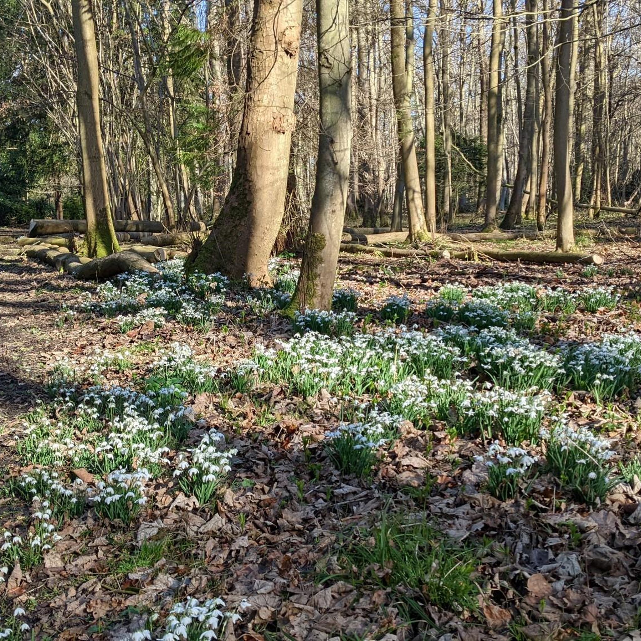

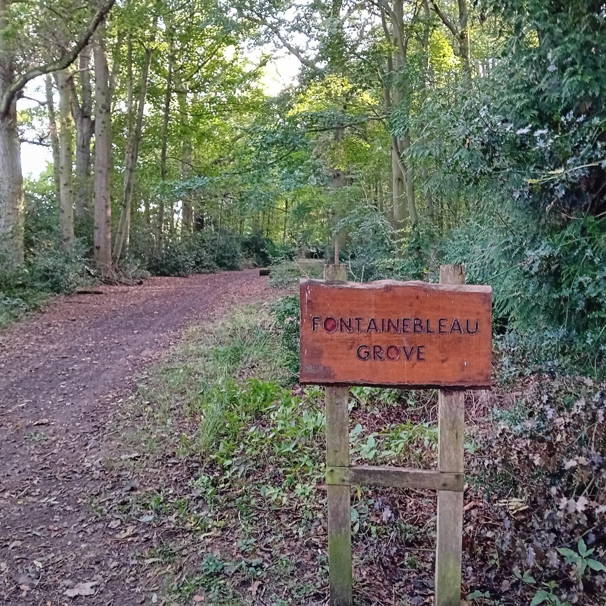
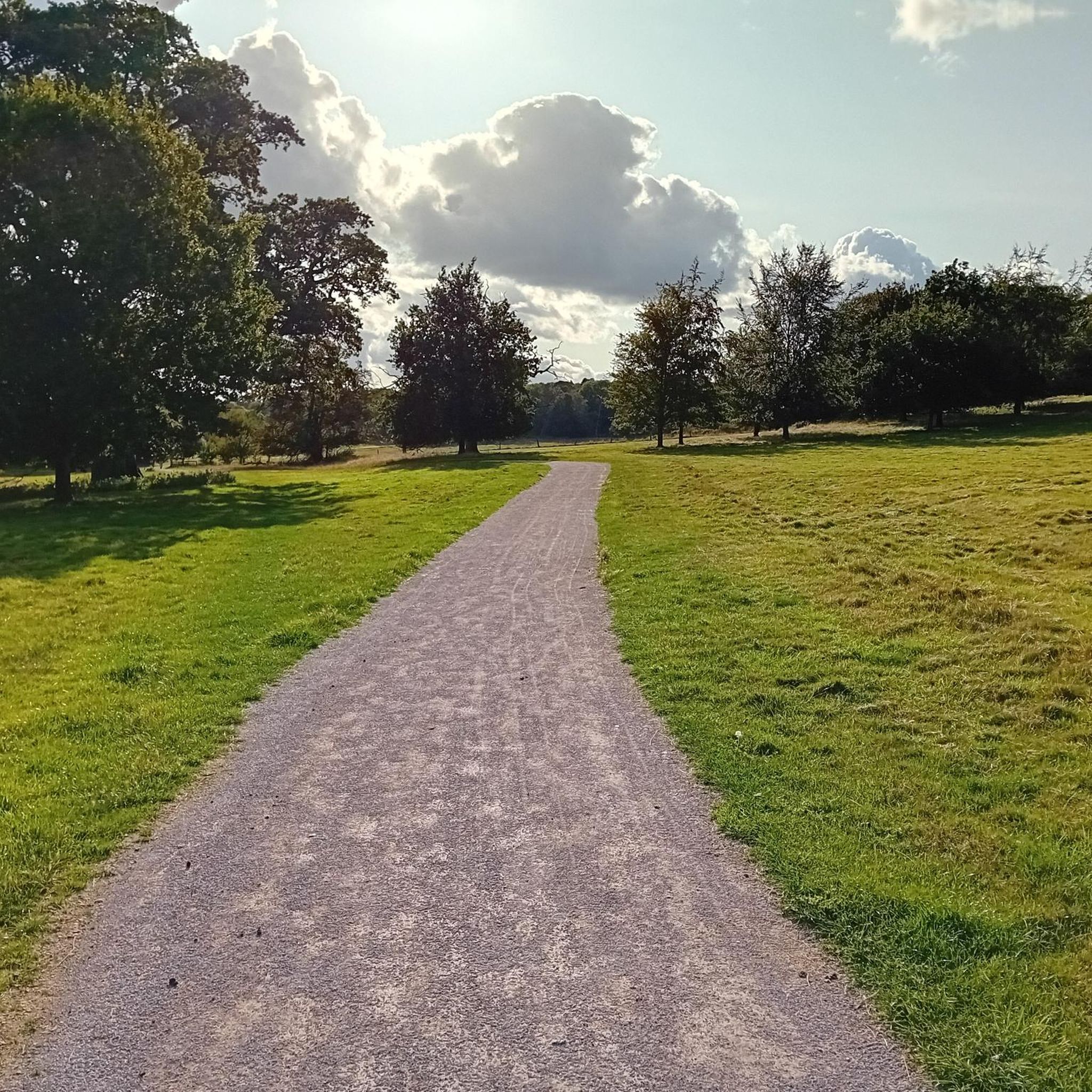
Tips from the Community


Coffee wagon Thursday to Sunday 10 a.m. till 3 p.m. Around 30 wild ponies roaming.
0
0


Access to World War Momument under the duel carriageway
0
0

Frequently Asked Questions
What kind of terrain can I expect on gravel bike trails around Horringer?
The gravel biking terrain around Horringer is quite varied, primarily centered around Ickworth Park. You'll find a mix of compacted gravel paths, ancient woodlands, and open fields. The area also features "chunkier bits" for those seeking more challenging surfaces, and scenic stretches alongside the River Linnet, which winds through sandy soil.
How many gravel bike routes are available in the Horringer area?
There are 18 gravel bike routes available around Horringer, catering to various skill levels. This includes 3 easy routes, 13 moderate routes, and 2 more difficult options for experienced riders.
Are there any easy gravel bike routes suitable for beginners or families?
Yes, there are 3 easy gravel bike routes around Horringer. A good option for an easier ride is the West Stow Anglo-Saxon Village – King's Forest Gravel Path loop from Lackford Lakes, which covers about 11.8 km.
What are some notable landmarks or attractions I can see while gravel biking near Horringer?
Many routes offer views of significant landmarks. Within Ickworth Park, you can see the impressive 18th-century Ickworth House Rotunda. Other nearby attractions include St Edmundsbury Cathedral and the West Stow Anglo-Saxon Village, which you can pass on routes like the West Stow Anglo-Saxon Village – King's Forest Gravel Path loop from Lackford Lakes.
Are there any routes that pass by lakes or water features?
Yes, several routes incorporate water features. The River Linnet is a prominent natural feature, and you can find highlights like Gravel Track by Livermere Lake and West Stow Country Park Lake. The Seven Tree Road – River Lark Scenic Road loop from Hengrave also follows the River Lark.
What do other gravel bikers say about the routes in Horringer?
The routes in Horringer are highly rated by the komoot community, with an average score of 4.4 stars from more than 5 reviews. Over 80 gravel bikers have used komoot to explore the varied terrain, often praising the diverse landscapes and the mix of surfaces.
Are there any longer, more challenging gravel rides in the area?
For experienced riders seeking a challenge, Horringer offers difficult routes. The Abbey Gate, Bury St Edmunds – Knettishall Heath Ponies loop from Thurston is a demanding 97.4 km trail exploring extensive heathland and forest sections. Another long option is the Lark Path Bridleway – Route 51 in Bury St Edmunds loop from Thurston, covering 90.8 km through varied Suffolk countryside.
Can I find routes that go through forests or woodlands?
Absolutely. Horringer's landscape includes significant ancient woodlands. The Fire Road – King's Forest Gravel Path loop from Lackford Lakes is a great example, leading you directly through King's Forest, offering sheltered paths and a classic gravel biking experience.
Are there any circular gravel bike routes around Horringer?
Yes, many of the gravel bike routes in the Horringer area are designed as loops, allowing you to start and finish at the same point. Examples include the Abbey Gate, Bury St Edmunds – Knettishall Heath Ponies loop from Thurston and the Fire Road – King's Forest Gravel Path loop from Lackford Lakes.
Are there places to stop for refreshments along the routes?
While specific cafes on every route aren't detailed, the region research mentions local amenities. For instance, The Fox Inn, Ousden is a pub highlight in the area, and the Lackford Lakes Visitor Centre also has a cafe, which is near routes starting from Lackford Lakes.
What kind of wildlife might I encounter while cycling in Horringer?
The natural settings around Horringer, especially near the River Linnet and within Ickworth Park, offer opportunities for wildlife spotting. Keep an eye out for buzzards, kingfishers, and roe deer, which are known to frequent these areas.
What is the typical elevation gain on gravel routes in Horringer?
The elevation gain varies significantly depending on the route's length and difficulty. For example, a longer, difficult route like the Lark Path Bridleway – Route 51 in Bury St Edmunds loop from Thurston can have over 500 meters of elevation gain, while an easier, shorter route like the West Stow Anglo-Saxon Village – King's Forest Gravel Path loop from Lackford Lakes has around 59 meters.
Most popular attractions around Horringer

Get inspired with the komoot mobile app


Explore more
Browse the best Gravel rides in other regions.
