The best gravel rides around Duxford
4.9
(20)
95
riders
12
rides
Gravel biking around Duxford offers a network of routes through the rural landscape of Cambridgeshire. The area features a rolling landscape with open fields, quiet country lanes, and historical estates, providing varied terrain for gravel cyclists. Routes often follow ancient byways and designated bridleways, connecting small villages and market towns. The region's generally gentle topography makes it accessible for various skill levels.
Best gravel bike trails around Duxford
- The most popular gravel bike trail is Roos Byway – Saffron Walden…
Last updated: July 3, 2026
5.0
(1)
8
riders
Moderate gravel ride. Good fitness required. Mostly paved surfaces. Suitable for all skill levels.
4.6
(7)
15
riders
Moderate gravel ride. Good fitness required. Mostly paved surfaces. Suitable for all skill levels.

Sign up for free
5.0
(2)
6
riders
22.2km
01:33
160m
160m
Moderate gravel ride. Good fitness required. Mostly paved surfaces. Suitable for all skill levels.
5.0
(1)
4
riders
82.1km
05:16
550m
550m
Hard gravel ride. Very good fitness required. Mostly paved surfaces. Suitable for all skill levels.
6
riders
33.0km
02:17
240m
240m
Moderate gravel ride. Good fitness required. Mostly paved surfaces. Suitable for all skill levels.
Get access to more routes and recommendations from other explorers.
Sign up for free
Already have an account?
Our route recommendations are based on thousands of hikes, rides, and runs completed by other people on komoot.
Start today with a free account
Your next adventure awaits.
Login or Signup


Tips from the Community

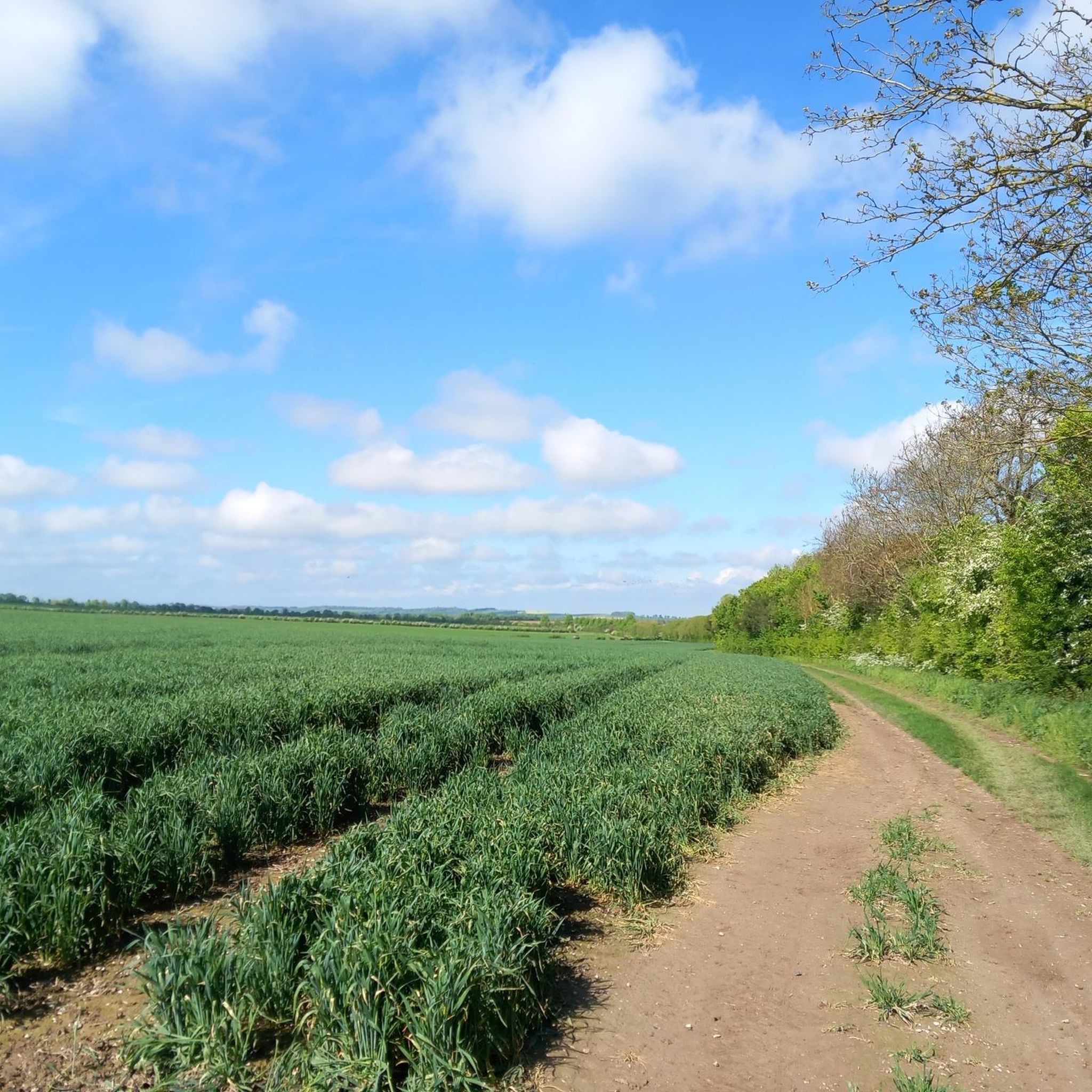
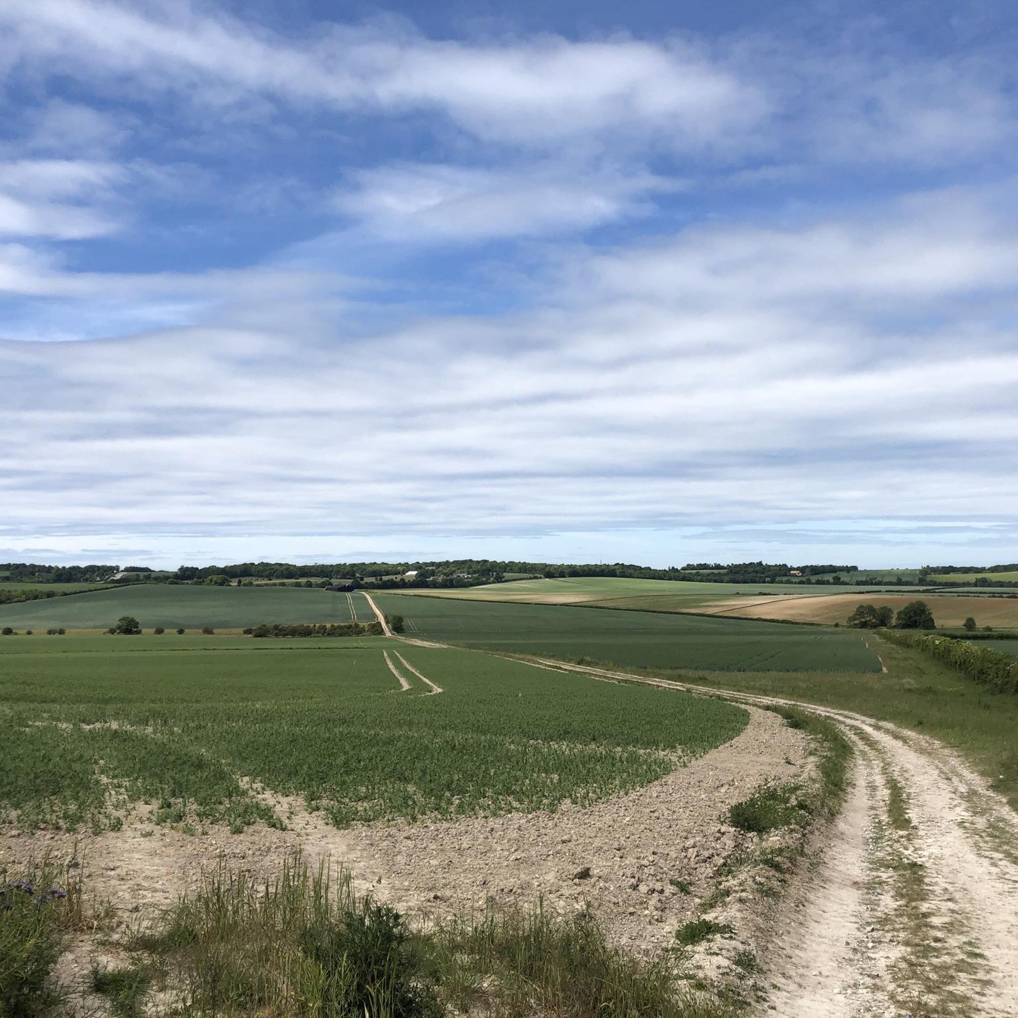
Wide clear path, smooth and even. Really nice gravel ride.
0
0

An enchanting woodland section with trees arching over the gravel path
0
0

The Windmill at Fulbourn stands on an outlier of the Gog Magog Hills 4 miles east of the City of Cambridge. Low chalk hills run to the south of it; northwards the Windmill overlooks the Fens which are at most only a few feet above sea level. The cap of the Windmill rises to 160 feet above sea-level and from it there is an uninterrupted view of the roofs and towers of Ely Cathedral. It has long been an outstanding landmark in the south Cambridgeshire countryside. It was the enclosure of the parish for the improvement of cultivation that led to the building of the present Windmill. Much of the land in the north of the parish was low-lying and waterlogged and needed draining to convert it into profitable arable land. Fulbourn Fen was a peat fen only 20 feet above sea level over which the Great Wilbraham River spread its waters in times of flood. The Act of Enclosure for Fulbourn was passed in 1806 and the Commissioners completed their work two years later. The drainage of the parish reduced the level of water in the upper reaches of the Great Wilbraham River on which the manorial watermill was situated. The loss of power brought to an end the life of a mill which had first been recorded in Domesday Book. In 1808 the machinery of the watermill was put up for sale. A new mill was therefore needed and the Enclosure Commissioners allotted one acre on Mill Hill, on which to build a mill and miller’s cottage, to John Chaplin, a considerable landowner and farmer. He used copies of Old Moore’s Almanack as a diary, entering personal events and business notes in the margins of the calendar. In 1808 he recorded against 11 July, ‘I laid the first brick of my mill’; 22 November, ‘Mill sails put up’; 15 December, ‘Began grinding’. It is a large octagonal smock mill with a brick base and wooden superstructure. Its outline is squat with a shallow conical cap. The fantail, as usual in Cambridgeshire mills, is close against the cap. The mill holds three stones, one of French burr and two of Derbyshire stone. With floors 24 feet in diameter, there is exceptional space for working the mill. (https://fulbournwindmill.org.uk/history.html)
1
0

Heading out of Braintree you hit the main road after this point. Careful of the traffic!
0
0


Classic cafe stop in the area, always plenty of cyclists and places to put your bike.
0
0

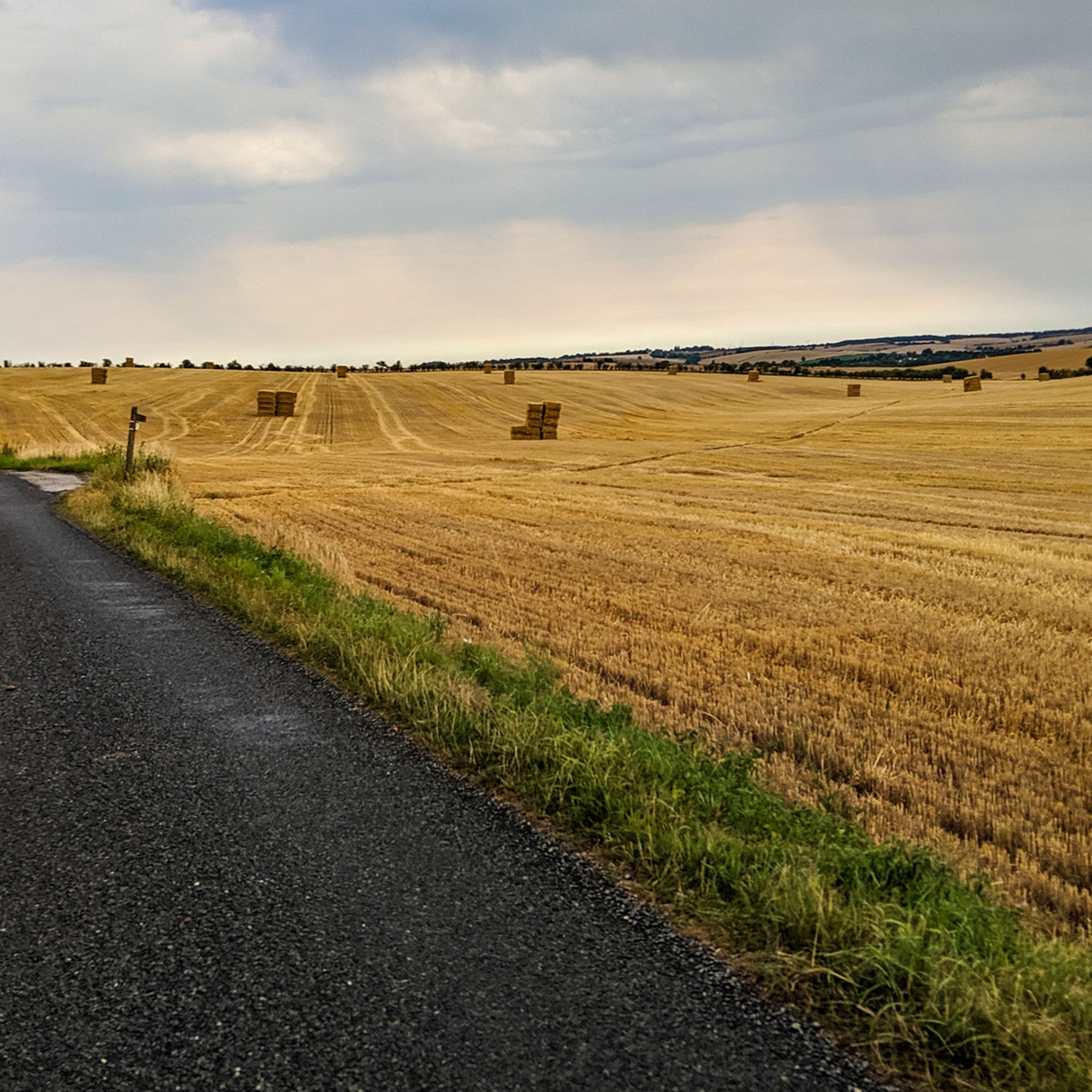
Sept 2024. Dry but serious ruts and deep pot holes some 5ft across and 2 ft deep. In places there is only 1 narrow route along the ridge between pot holes and deep ruts. Some nice climbs as well so this is a challenging ride but satisfying if you can do it - it is not a fast run. Suitable for experienced track riders do not attempt on road tyres. Also if its been raining it will be very wet with deep puddles as the pot holes fill with water. The ridge route will become too slippery to navigate and a serious pile up and bike damage could result. However, there are other stretches which will be ridable even after rain so if you use caution and walk round the treacherous parts you should be OK. 1st time I rode this stretch in early winter starting at the North end, the pot holes were full of water and after slipping and sliding around a bit even when walking I turned round and went back to the other track to the North Green Croft Lane which is rideable all year.
0
0
Frequently Asked Questions
How many gravel bike trails are available around Duxford?
There are over 20 gravel bike trails around Duxford, offering a variety of experiences through the Cambridgeshire countryside. These routes explore open fields, quiet country lanes, and historical estates.
Are there easy gravel bike trails suitable for beginners in Duxford?
Yes, Duxford offers several easy gravel bike trails perfect for beginners or those looking for a relaxed ride. For example, the Grantchester Village – DNA Path Rainbow Cycleway loop from Shelford is an easy 12.7-mile (20.4 km) route that leads through village outskirts and along cycleways.
What are the more challenging gravel bike routes near Duxford?
For those seeking a greater challenge, Duxford has routes with more sustained efforts. The Wimpole Estate – Wimpole Hall loop from Shepreth is a difficult 17.1-mile (27.5 km) path that navigates the grounds and surroundings of the historic Wimpole Estate, offering a blend of estate tracks and rural paths.
Are there family-friendly gravel biking options in the Duxford area?
Many of the easier routes around Duxford are suitable for families, especially those with older children comfortable on bikes. The generally gentle topography and quiet country lanes make for a pleasant family outing. Look for routes marked as 'easy' or 'moderate' on komoot.
What kind of scenery can I expect on Duxford's gravel bike trails?
The gravel bike trails around Duxford offer diverse scenery, from expansive open fields and quiet country lanes to historical estates and charming villages. You'll often find yourself on ancient byways connecting small market towns, providing a glimpse into the region's heritage. The DNA Path Rainbow Cycleway is a notable scenic feature.
Are there any interesting landmarks or attractions along the gravel routes?
Yes, several routes pass by or near interesting landmarks. You might encounter historical sites like Audley End House or unique features like the Mullard Radio Astronomy Observatory. Many routes also utilize ancient paths such as the Roman Road (Cambridge to Haverhill).
When is the best time of year to go gravel biking in Duxford?
Spring and autumn are generally ideal for gravel biking in Duxford, offering pleasant temperatures and beautiful scenery. Summer can also be great, though open sections might be exposed to sun and wind. Winter rides are possible, but be prepared for potentially muddy conditions on byways and tracks, especially after rain.
Are the gravel trails in Duxford prone to mud, especially in winter?
Given the region's open fields and ancient byways, some gravel trails around Duxford can become muddy, particularly during wet periods in autumn and winter. Routes that stick more to paved country lanes or well-maintained estate tracks will generally be less affected. Always check recent conditions or ride reports if you're concerned about mud.
Are there circular gravel bike routes available around Duxford?
Yes, many of the gravel bike routes around Duxford are designed as circular loops, allowing you to start and finish at the same point. Examples include the Sweeping Country Lane – Newport to Debden Byway loop from Great Chesterford, a longer 32.2-mile (51.7 km) option.
What do other gravel bikers say about the Duxford area?
The gravel biking experience around Duxford is highly rated by the komoot community, with an average score of 4.9 stars from over 20 reviews. Riders often praise the quiet country lanes, the historical estates, and the varied terrain that makes for engaging rides.
Are there any gravel routes that pass through villages with cafes or amenities?
Yes, several routes connect or pass through charming villages and market towns in the area, such as Saffron Walden, which offer opportunities for refreshments at cafes or pubs. The Tylers Lane Gravel Path – Roos Byway loop from Saffron Walden is an example of a route starting and ending in a town with amenities.
Most popular routes around Duxford
Most popular attractions around Duxford

Get inspired with the komoot mobile app


Explore more
Browse the best Gravel rides in other regions.
