The best gravel rides around Albourne
4.5
(47)
517
riders
42
rides
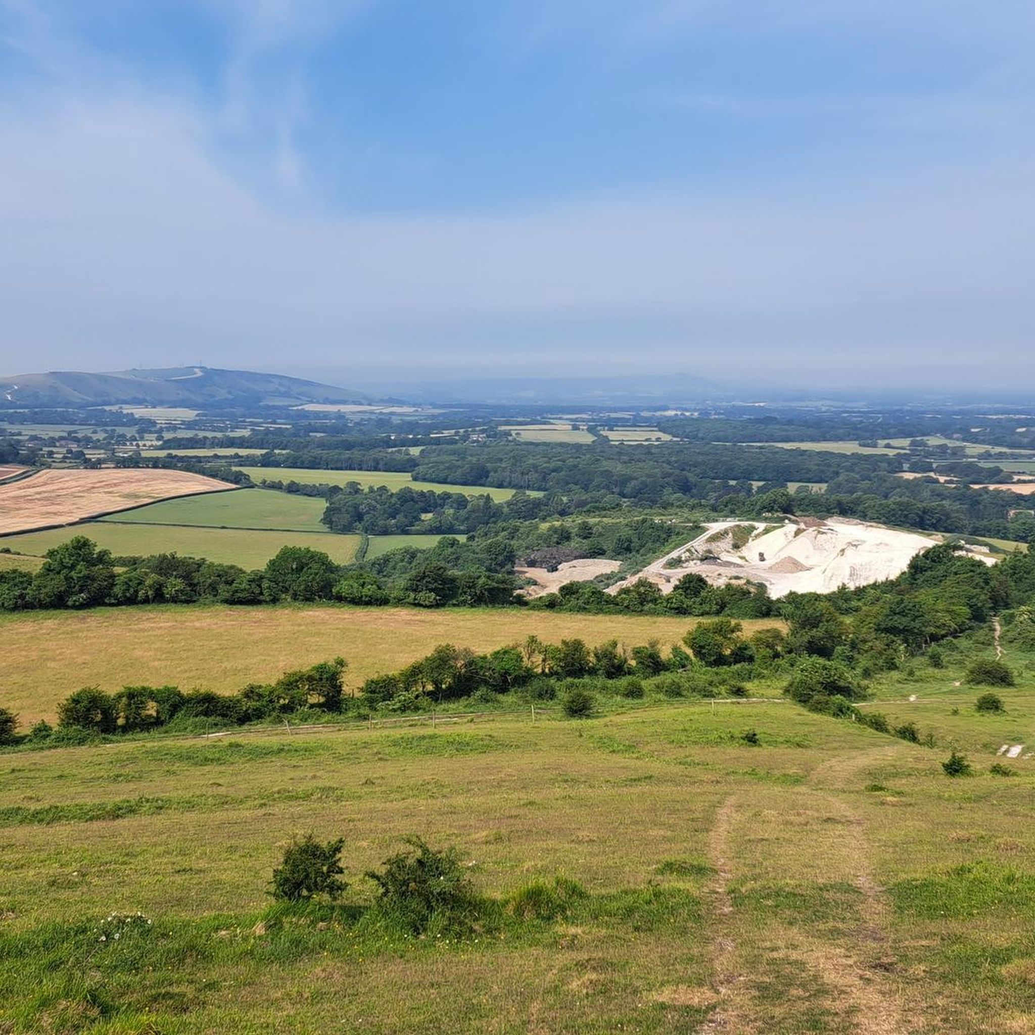
Gravel biking around Albourne features routes that traverse the rolling hills and open countryside of West Sussex, often bordering the South Downs National Park. The terrain is characterized by a mix of chalk tracks, woodland paths, and quiet country lanes. Elevation changes are common, ranging from gentle inclines to more challenging climbs, providing varied experiences for gravel cyclists. The region offers a network of trails suitable for exploring the rural landscape.
Best gravel bike trails around Albourne
- The most popular…
Last updated: July 3, 2026
19
riders
33.2km
02:11
190m
190m
Moderate gravel ride. Good fitness required. Mostly paved surfaces. Suitable for all skill levels.
4.3
(3)
35
riders
50.8km
03:24
280m
280m
Moderate gravel ride. Good fitness required. Mostly paved surfaces. Suitable for all skill levels.

Sign up for free
7
riders
31.4km
02:37
590m
590m
Hard gravel ride. Very good fitness required. Mostly paved surfaces. Suitable for all skill levels.
7
riders
46.1km
03:03
560m
560m
Hard gravel ride. Very good fitness required. Mostly paved surfaces. Suitable for all skill levels.
3.0
(1)
3
riders
27.8km
01:57
240m
240m
Moderate gravel ride. Good fitness required. Mostly paved surfaces. Suitable for all skill levels.
Get access to more routes and recommendations from other explorers.
Sign up for free
Already have an account?
Our route recommendations are based on thousands of hikes, rides, and runs completed by other people on komoot.
Start today with a free account
Your next adventure awaits.
Login or Signup
Tips from the Community

Lots of old railway infastruction still in place or use changed. From bridges, a tunnel, railway crossings and old station platforms.
1
0


DO NOT LET YOUR GUARD DOWN until you pass the last gate next to the main road - Evil Rock on the right-hand side track
0
0


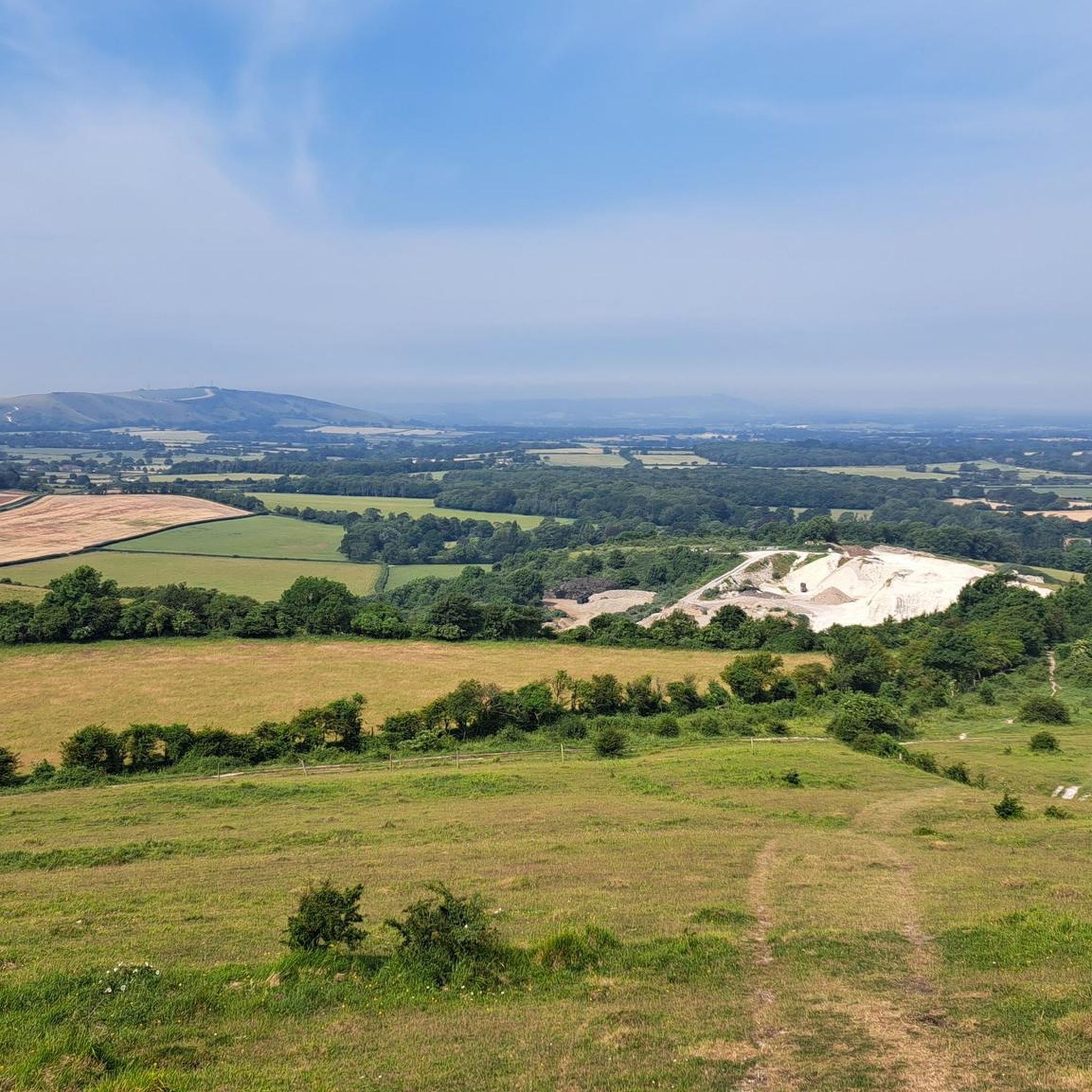
Rocky loose descent, Rocky loose ascent
1
0

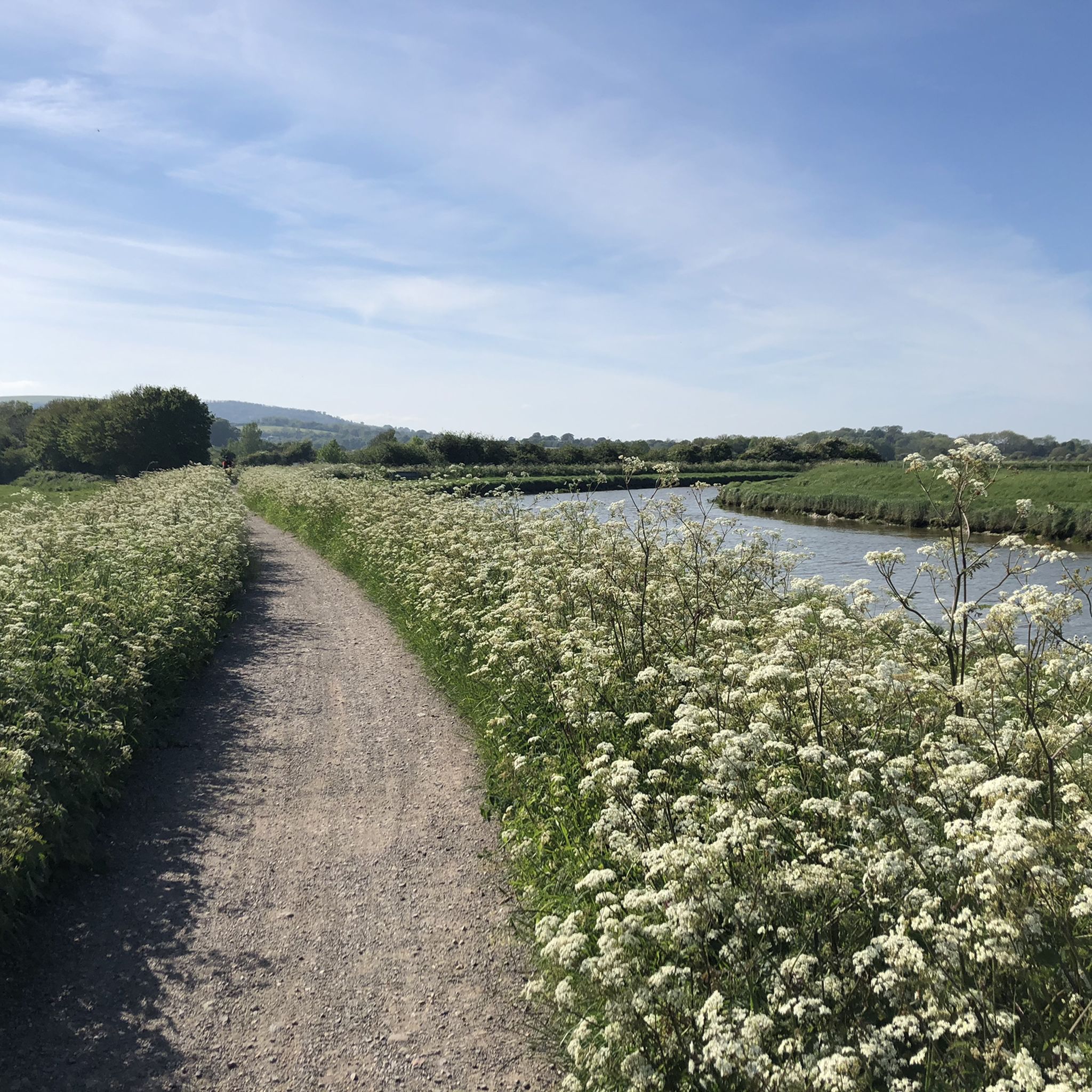
The Downs Link is a section of the long-distance bridleway through the West Sussex countryside. Along the way you'll enjoy scenic views of rolling fields, woodlands, open countryside, and sections will cross the River Adur.
1
0
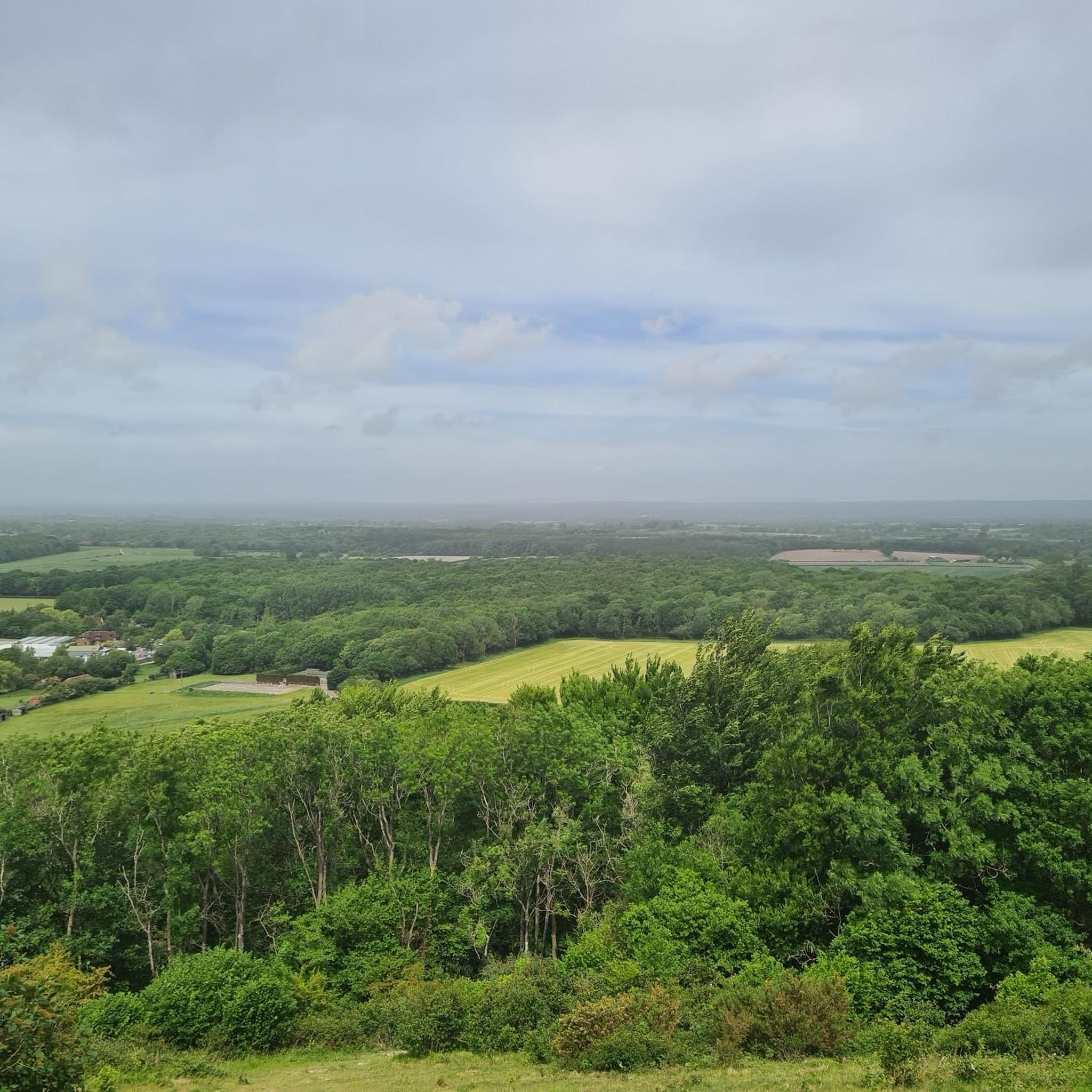
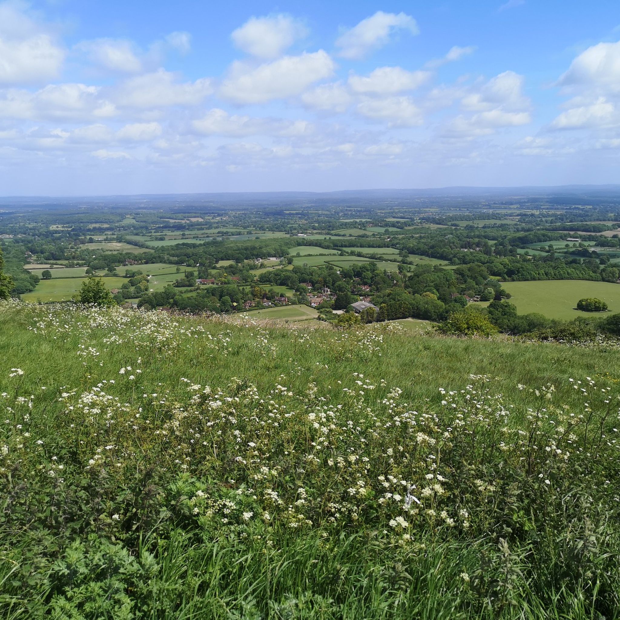
This is a charming rural lane surrounded by the peaceful West Sussex countryside. Enjoy views of fields and woodland with quaint cottages dotted inbetween.
1
0
Frequently Asked Questions
How many gravel bike trails are available around Albourne?
There are over 45 gravel bike trails in the Albourne area, offering a diverse range of experiences. These include routes suitable for various skill levels, from moderate rides to more challenging adventures.
Are there any easy gravel bike trails suitable for beginners or families in Albourne?
Yes, Albourne offers several easier gravel bike trails. For a relatively flat and accessible experience, consider the West Grinstead Station – The Downs Link loop from Woodmancote. This moderate route follows sections of the historic Downs Link, making it a good option for those seeking a less strenuous ride.
What are some options for longer distance gravel cycling routes in Albourne?
For those looking for a longer ride, the West Grinstead Station – Parkstreet Lane Bridge loop from Henfield is a popular choice. This moderate 31.6-mile (50.8 km) path explores the rural landscape with a mix of tracks and lanes, ideal for a full day out.
Are there challenging gravel biking routes for advanced riders near Albourne?
Absolutely. For advanced gravel bikers seeking a challenge, the terrain around Devil's Dyke offers more demanding climbs and descents. The View of Devil's Dyke – View of the Devil's Dyke loop from Burgess Hill is a difficult 28.7-mile (46.1 km) trail known for its challenging sections.
What kind of terrain can I expect on Albourne's gravel bike trails?
The gravel biking trails around Albourne feature a varied terrain. You'll encounter rolling hills, open countryside, chalk tracks, woodland paths, and quiet country lanes. Elevation changes are common, ranging from gentle inclines to more challenging climbs, especially as you approach the South Downs National Park.
Are there any circular gravel bike routes in the Albourne area?
Many of the routes around Albourne are designed as loops, offering convenient circular rides. For example, the West Grinstead Station – The Downs Link loop from Henfield provides a moderate circular experience, utilizing sections of the Downs Link.
What are some scenic viewpoints or landmarks I can visit while gravel biking in Albourne?
The Albourne area, bordering the South Downs National Park, offers numerous scenic spots. You can ride towards prominent landmarks like Ditchling Beacon or explore the dramatic landscape around Devil's Dyke. Wolstonbury Hill also offers great views.
What is the best time of year for gravel biking in Albourne?
The rolling hills and open countryside of Albourne are enjoyable throughout much of the year. Spring and autumn often provide pleasant temperatures and beautiful scenery. While winter riding is possible, be prepared for potentially muddy chalk tracks and woodland paths, especially after rain.
Are there any gravel bike routes that incorporate the South Downs Way?
Yes, some routes in the Albourne vicinity connect with or run alongside sections of the famous South Downs Way. A challenging option is the Chanctonbury Ring – South Downs Way Trail loop from Fulking, which offers a difficult ride with significant elevation changes.
What do other gravel bikers say about the trails in Albourne?
The gravel biking routes in Albourne are highly regarded by the komoot community, with an average score of 4.48 stars from over 40 reviews. Riders frequently praise the varied terrain, the mix of chalk tracks and quiet lanes, and the beautiful open countryside views.
Is there public transport access to the gravel bike trails around Albourne?
While Albourne itself is a rural village, some starting points for gravel routes, particularly those along the Downs Link, may be accessible via local bus services or train stations in nearby towns like Henfield or Burgess Hill. It's advisable to check local transport schedules for specific route access.
Are there places to stop for refreshments like cafes or pubs along the gravel routes?
Many of the routes traverse rural areas, but you'll often find charming pubs and cafes in the villages scattered throughout the region, such as Henfield or Woodmancote. Planning your route with potential refreshment stops in mind is recommended.
Most popular attractions around Albourne

Get inspired with the komoot mobile app


Explore more
Browse the best Gravel rides in other regions.
