The best gravel rides around Etchingham
4.8
(26)
226
riders
5
rides
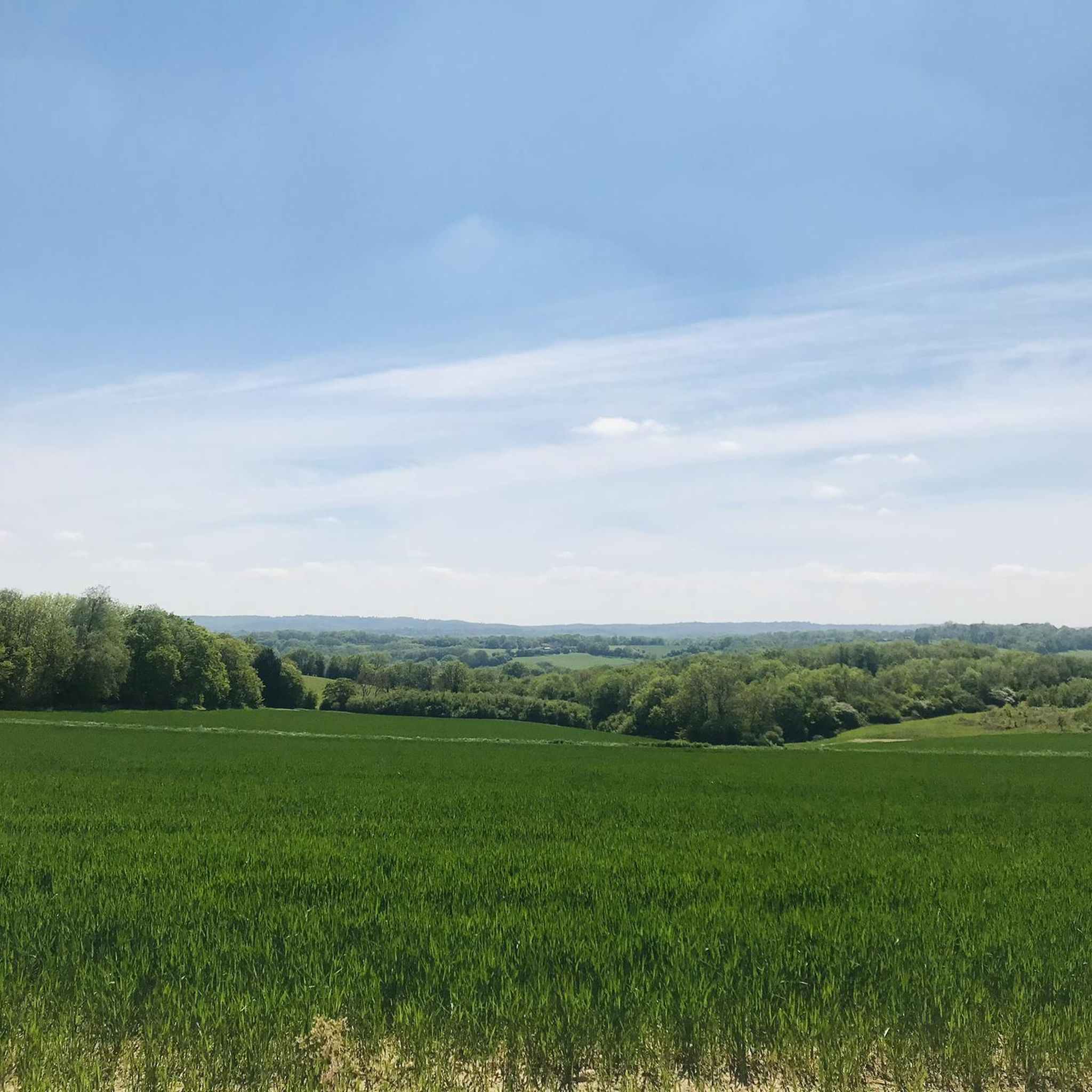
Gravel biking around Etchingham offers varied terrain across rolling hills and extensive woodlands, providing diverse cycling experiences within the High Weald National Landscape. The region is characterized by a blend of rolling hills, extensive woodlands, and river valleys, shaped by the River Dudwell, River Rother, and River Limden. A network of bridleways and byways, many suitable for gravel bikes, connects to larger trail systems, offering routes that combine paved and unpaved surfaces. Proximity to Bedgebury Forest provides additional off-road opportunities.
…Last updated: July 3, 2026
4.8
(9)
60
riders
20.0km
01:29
200m
200m
Moderate gravel ride. Good fitness required. Mostly paved surfaces. Suitable for all skill levels.
4.7
(9)
75
riders
31.4km
02:08
320m
320m
Moderate gravel ride. Good fitness required. Mostly paved surfaces. Suitable for all skill levels.

Sign up for free
4.7
(6)
70
riders
18.4km
01:23
180m
180m
Moderate gravel ride. Good fitness required. Mostly paved surfaces. Suitable for all skill levels.
5.0
(2)
12
riders
37.1km
02:27
390m
390m
Moderate gravel ride. Good fitness required. Mostly paved surfaces. Suitable for all skill levels.
9
riders
12.5km
00:56
170m
170m
Moderate gravel ride. Good fitness required. Mostly paved surfaces. Suitable for all skill levels.
Our route recommendations are based on thousands of hikes, rides, and runs completed by other people on komoot.
Start today with a free account
Your next adventure awaits.
Login or Signup
Tips from the Community

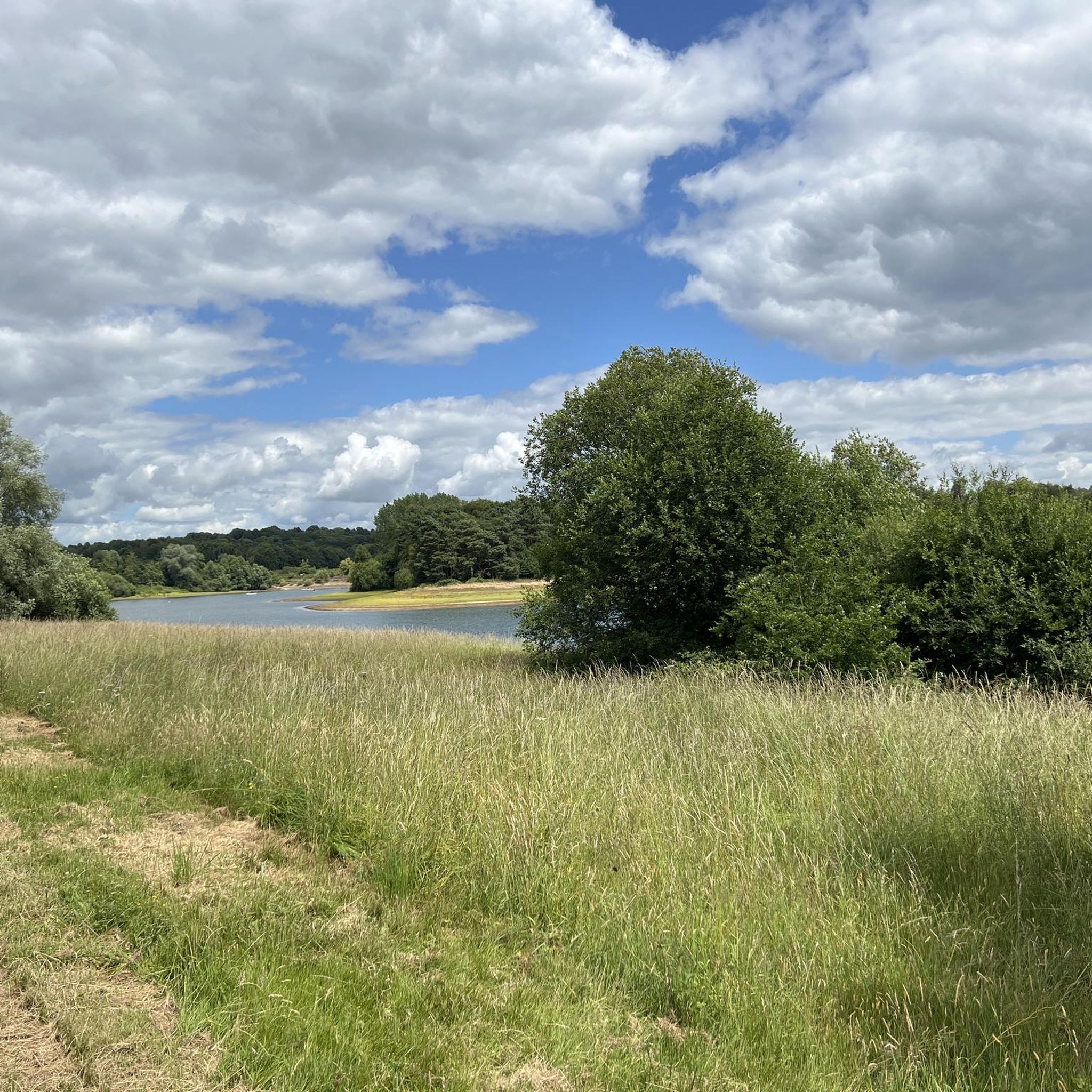
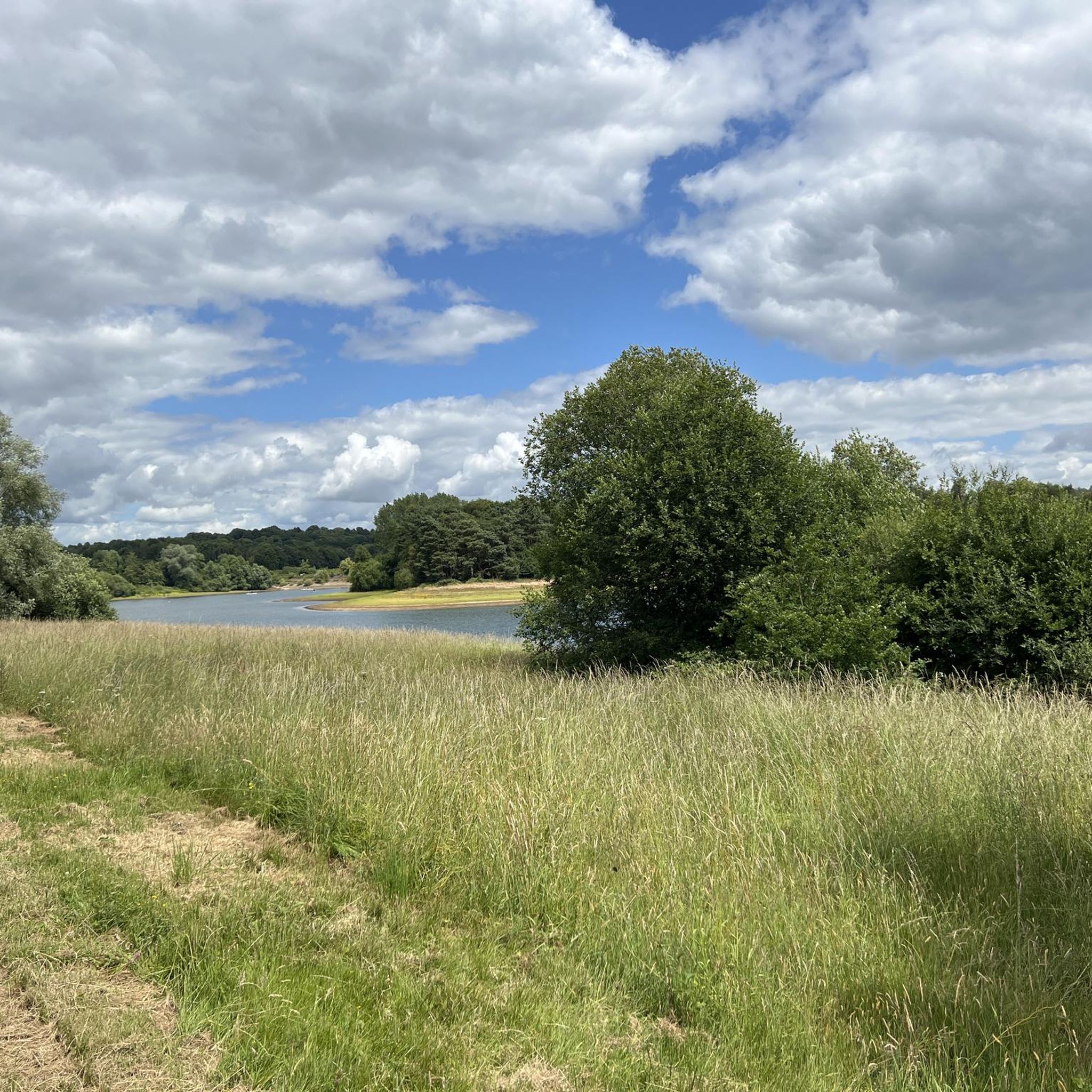
Note that swimming is NOT allowed in large parts of the lake.
0
0

Fun challenge. Pedal strikes likely so careful to creep on the higher parts.
0
0
Smooth rock gardens can be slippery with mud in winter.
0
0


The Five Ways section is part of the 8 mile (13 km) of red-rated single track at Bedgebury National Pinetum and Forest. It winds its way around the 2,000 acres (810 hectares) of Bedgebury Forestry and is designed to meet the thrill needs of most mountain bikers. Expect stiff climbs, technical decents, berms, drops, and large rocks.
1
0
Deliverance is part of the Bedgebury XC route in Bedgebury Forest. It is a short 1,010 feet (333 m) route that has a red difficulty rating. You can expect few rock gardens, which will test you in the wet.
1
0

A fairly easy flowing red trail with no compulsory drops or jumps. Great to ride at speed through the trees.
0
1
Frequently Asked Questions
How many gravel bike trails are available around Etchingham?
There are 7 gravel bike trails documented on komoot around Etchingham. These routes offer a mix of experiences, from easy loops to more moderate challenges across the region's varied terrain.
Are there easy gravel bike trails suitable for beginners in Etchingham?
Yes, Etchingham offers options for less experienced riders. An easy route is the Louisa Lake loop from Flimwell, which is 8.7 km long and takes about 39 minutes to complete, leading through Bedgebury Forest.
What natural features can I expect to see on gravel bike trails around Etchingham?
The region around Etchingham is characterized by rolling hills and extensive woodlands, particularly within the High Weald National Landscape. Many routes pass through areas like Bedgebury Forest, offering views of serene water features such as Bewl Water and Louisa Lake.
Are there any notable landmarks or viewpoints along the gravel bike routes?
Yes, several routes offer scenic vistas and pass by points of interest. You might encounter views of the High Weald from Witherenden Road or explore areas near Scotney Castle and Gardens. The View of Bewl Water loop from Wadhurst, for instance, provides excellent views of Bewl Water.
Are there family-friendly gravel bike routes in Etchingham?
While specific 'family-friendly' designations aren't always explicit, the easier routes, such as the Louisa Lake loop from Flimwell, are shorter and have less elevation, making them more suitable for families. The extensive network of bridleways and byways also provides varied terrain that can be adapted for different skill levels.
What do other gravel bikers enjoy most about gravel biking in Etchingham?
The area is highly rated by the komoot community, with an average score of 4.6 stars from over 20 reviews. Riders often praise the varied terrain, the extensive woodlands, and the scenic views, particularly around Bewl Water and within Bedgebury Forest.
Is parking available near the gravel bike trails in Etchingham?
Parking is generally available at key access points for popular areas like Bedgebury Forest. For specific routes, it's advisable to check the individual tour details on komoot, as many routes start from villages or designated parking areas.
Can I access the gravel bike trails around Etchingham using public transport?
Etchingham has a railway station, which can provide access to the general area. However, direct public transport links to specific trailheads might be limited. For detailed information on public transport options within East Sussex, you can consult the local council's cycling guides and maps at eastsussex.gov.uk.
Are the gravel bike routes around Etchingham dog-friendly?
Many bridleways and public rights of way in the Etchingham area are dog-friendly, provided dogs are kept under control, especially around livestock. When cycling through Bedgebury Forest or other managed areas, always check local signage for specific rules regarding dogs. It's generally recommended to keep dogs on a lead to ensure their safety and respect wildlife.
Are there any circular gravel bike routes available?
Yes, many of the gravel bike routes around Etchingham are designed as circular loops. For example, the Mosquito Coast Singletrack – Helter Skelter - Trail loop from Hartley and the Dad's Army Trail – Sweetness Trail loop from Lamberhurst are both popular circular options, allowing you to start and finish at the same point.
What is the longest gravel bike route in the Etchingham area?
Among the komoot routes listed, the Dad's Army Trail – Sweetness Trail loop from Lamberhurst is one of the longer options, covering approximately 37.4 km (23.2 miles) with moderate difficulty.
What kind of terrain can I expect on the gravel bike trails?
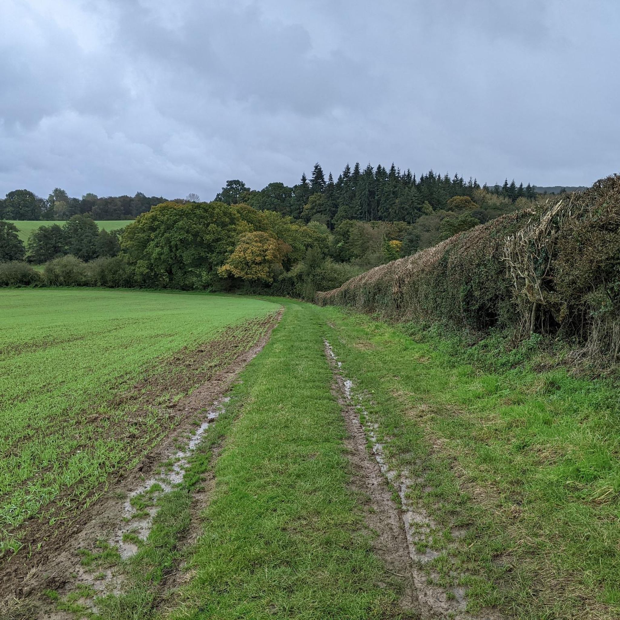
The gravel bike trails around Etchingham feature varied terrain, including a mix of unpaved bridleways, byways, and some paved sections. You'll encounter rolling hills, woodland paths, and open countryside, characteristic of the High Weald National Landscape.
Most popular attractions around Etchingham

Get inspired with the komoot mobile app


Explore more
Browse the best Gravel rides in other regions.
