The best gravel rides around Oare
4.5
(7)
36
riders
6
rides
Gravel biking around Oare offers routes through varied terrain, characterized by rolling hills, dense woodlands, and open moorland. The region features a network of paths suitable for gravel bikes, often traversing rural landscapes and offering elevation changes. Many routes follow established bridleways and forest tracks, providing a mix of surfaces from compacted gravel to more rugged sections.
Best gravel bike trails around Oare
- The most popular gravel bike trail is Withypool Stone Bridge – Wheal Eliza mine ruins loop from…
Last updated: July 2, 2026
3
riders
35.6km
03:11
760m
760m
Hard gravel ride. Very good fitness required. Mostly paved surfaces. Suitable for all skill levels.
9
riders
30.4km
02:37
560m
560m
Hard gravel ride. Very good fitness required. Mostly paved surfaces. Suitable for all skill levels.

Sign up for free
4.5
(2)
6
riders
21.4km
01:42
380m
380m
Moderate gravel ride. Good fitness required. Mostly paved surfaces. Suitable for all skill levels.
4.5
(2)
11
riders
24.4km
01:50
530m
530m
Hard gravel ride. Very good fitness required. Mostly paved surfaces. Suitable for all skill levels.
5.0
(2)
4
riders
35.1km
02:47
940m
940m
Hard gravel ride. Very good fitness required. You may need to push your bike for some segments of this route.
Our route recommendations are based on thousands of hikes, rides, and runs completed by other people on komoot.
Start today with a free account
Your next adventure awaits.
Login or Signup
Other adventures around Oare

Tips from the Community

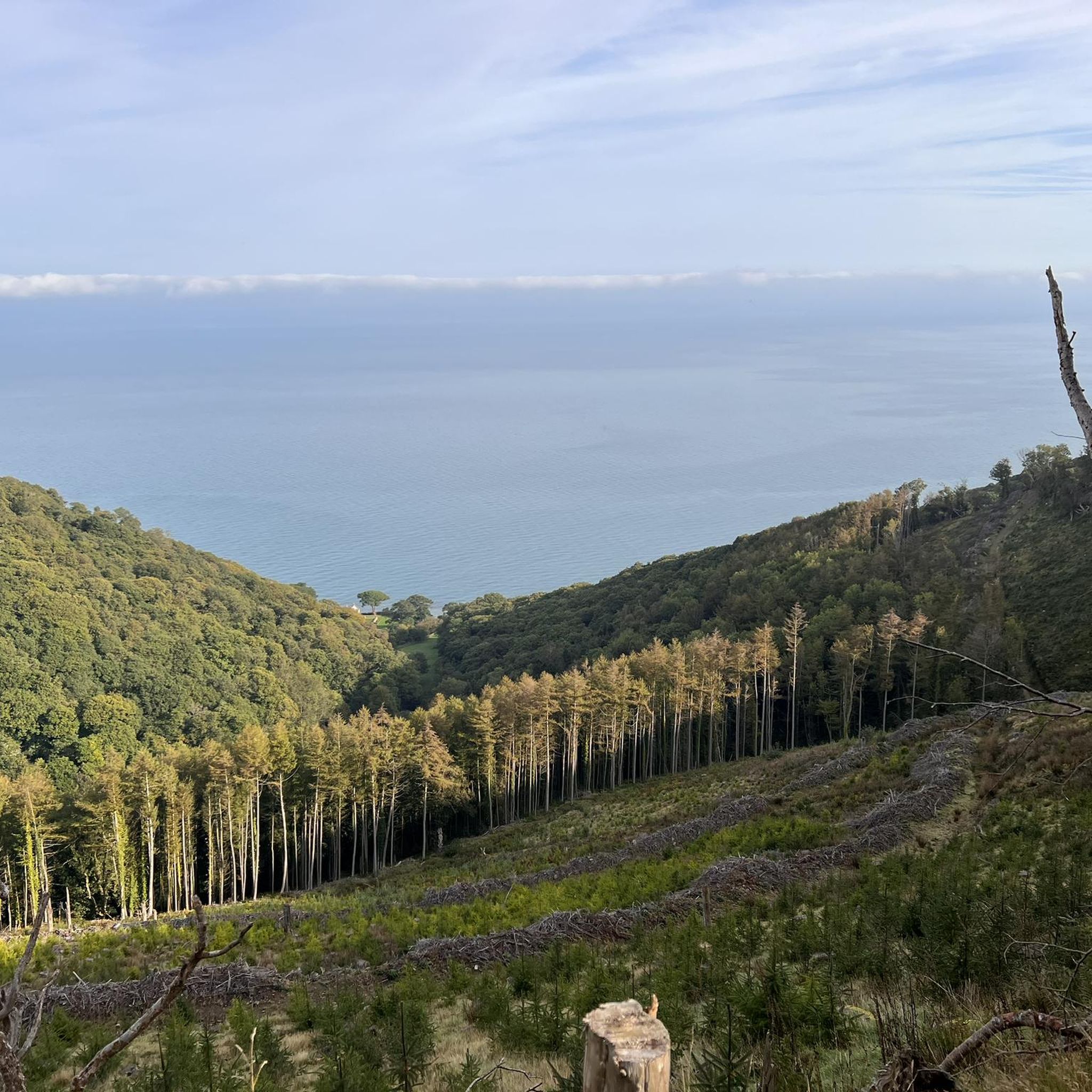
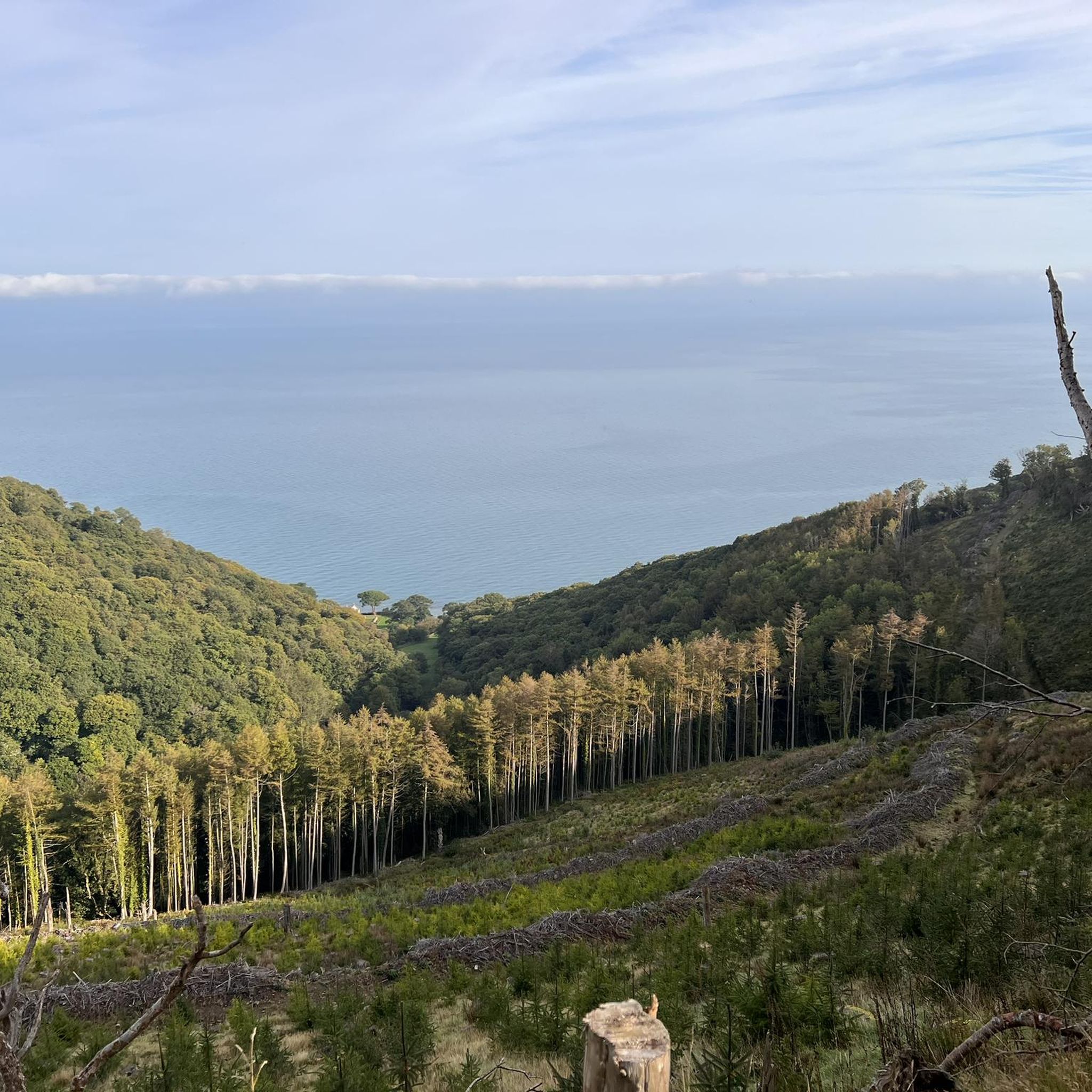
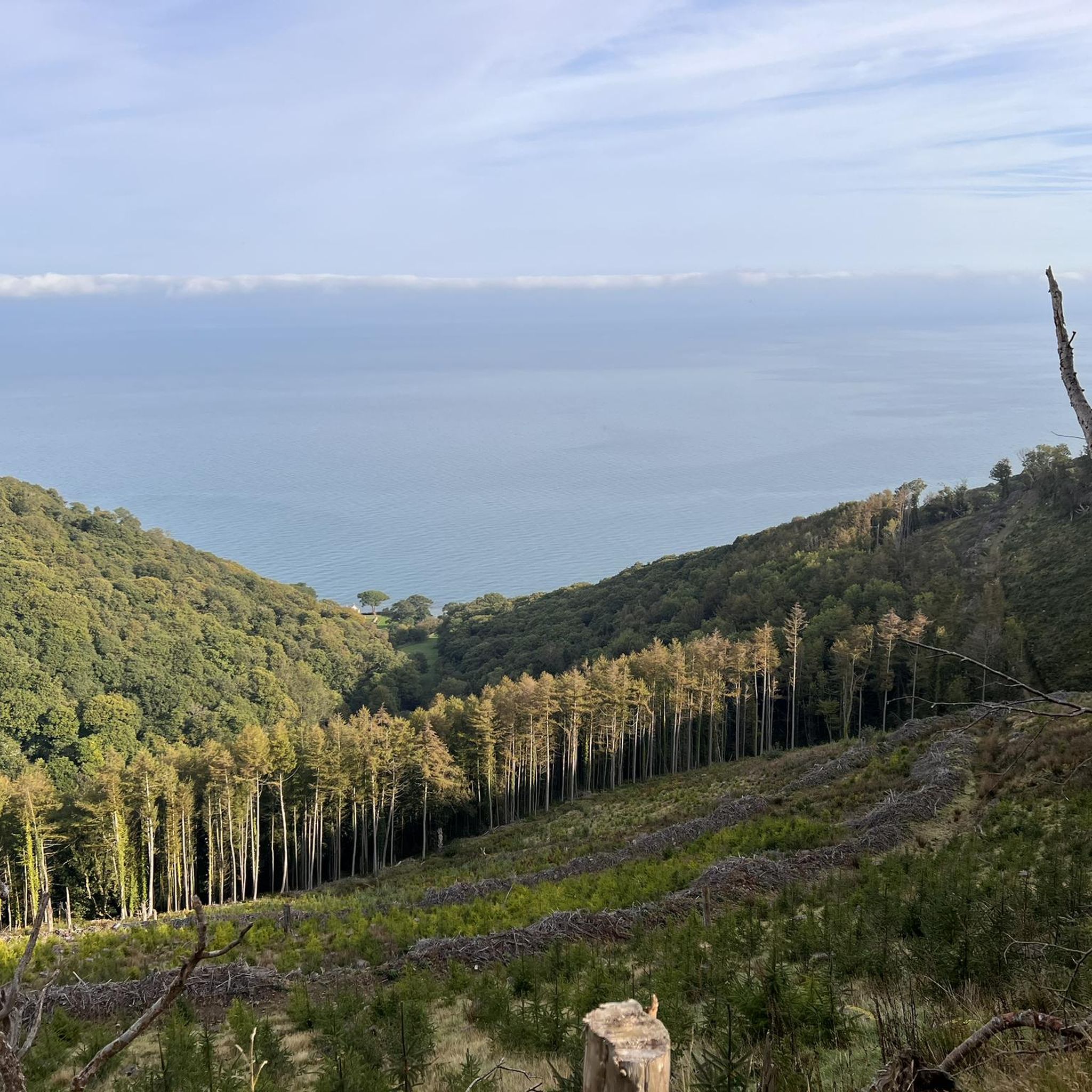
very nice hike with a view of the sea
1
0

Get in touch with Lee Abbey before arriving to ensure they can welcome you and give you a passport to stamp.
0
0
Pick up your passport at reception. If you're in time for 8am you can join community prayers and be blessed as you go! Grab a leaflet about Lee Abbey, year round courses and retreats are offered.
0
0


This is a scenic ride with phenomenal views out to Lee Bay and Crock Point. Lee Abbey is nearby with a café and restrooms.
1
0
Swim shoes/boots - it’s quite shallow also so not able to fully swim but great for a cool off dip
0
0

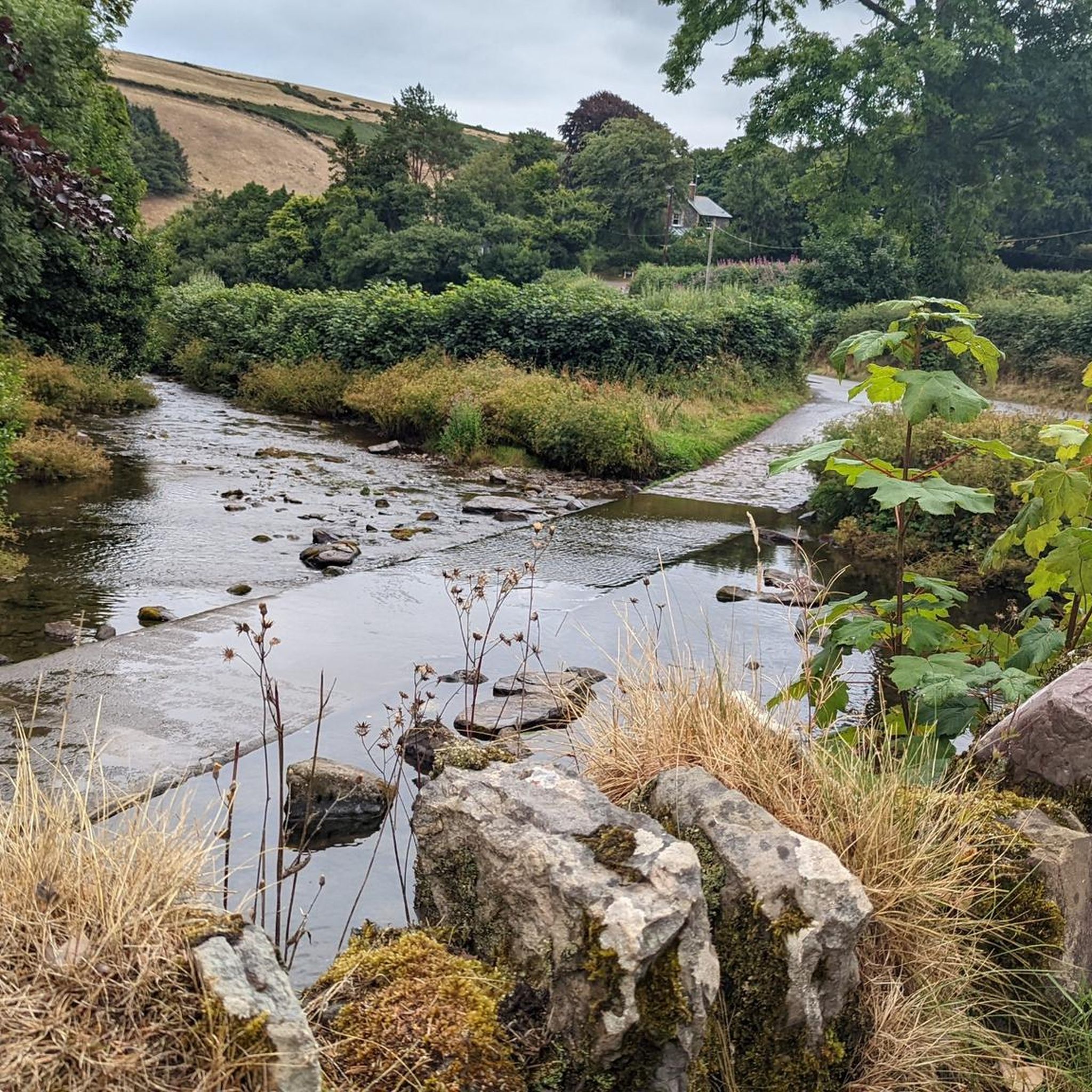
Dropping down throught the trees and to the river feels prehistoric and anathama to the bare moorland above. Refil water in the stream and carry on towards the coast.
0
0
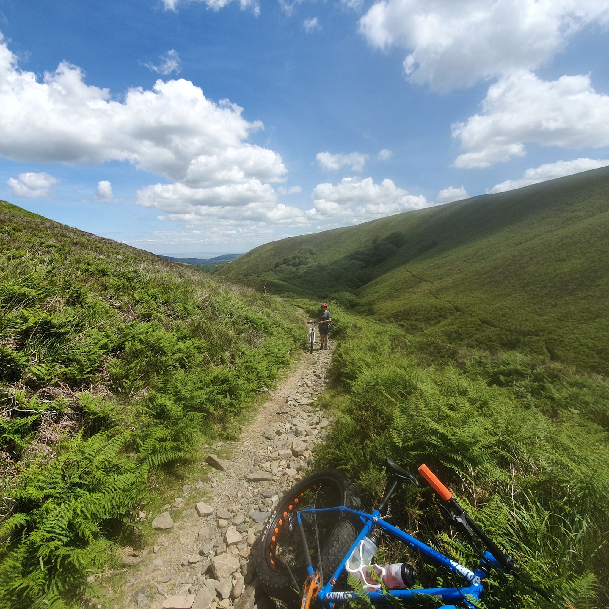
What a wonderful bridleway this is. Amazing valley views and some techky delight to be had to. This trail skirts the river then heads out the top of the valley.
1
0
Frequently Asked Questions
Are there easy gravel bike trails suitable for beginners in Oare?
Most gravel biking routes around Oare are categorized as moderate to difficult due to the varied terrain and elevation changes. However, the Watersmeet Trail – Badgworthy Wood Trail loop from Malmsmead is a moderate option that might be more suitable for those newer to gravel biking, offering a 13.3-mile (21.4 km) ride through woodlands and river valleys.
What are some of the longer gravel biking routes available around Oare?
For longer rides, consider the Dunkery Beacon Summit – Dunkery Beacon Summit loop from Malmsmead, which is 22.1 miles (35.6 km) and ascends to the highest point on Exmoor. Another substantial option is the West Porlock Viewpoint – Porlock Hill loop from Porlock, covering 21.8 miles (35.1 km) with significant elevation.
Where can I find parking when planning a gravel bike ride in Oare?
While specific parking facilities aren't detailed for every route, common starting points like Simonsbath and Malmsmead, which serve as trailheads for several routes, typically offer parking options. It's always advisable to check the individual tour pages on komoot for more precise parking information before your ride.
Is Oare accessible by public transport for gravel biking?
Oare is situated in a rural area, meaning public transport options may be limited. Most visitors typically access the trailheads by car. If you plan to use public transport, it's recommended to research local bus services to nearby villages and plan your route accordingly.
What kind of scenery and viewpoints can I expect on gravel routes near Oare?
Gravel biking around Oare offers diverse scenery, including open moorland, dense woodlands, and river valleys. Routes often feature expansive views, such as those from Dunkery Beacon Summit, the highest point on Exmoor, or the dramatic coastal landscapes around the Valley of Rocks. The region is known for its rolling hills and picturesque rural landscapes.
Are there any circular gravel bike routes in Oare?
Yes, many of the gravel bike routes in Oare are designed as loops. Examples include the Withypool Stone Bridge – Wheal Eliza mine ruins loop from Simonsbath, the Dunkery Beacon Summit – Dunkery Beacon Summit loop from Malmsmead, and the Watersmeet Trail – Badgworthy Wood Trail loop from Malmsmead, all offering a return to your starting point.
What historical sites or landmarks can I see along the gravel bike trails?
Several routes pass by interesting historical features. For instance, the Withypool Stone Bridge – Wheal Eliza mine ruins loop from Simonsbath takes you past historical mine ruins. You might also encounter ancient cairns like Great Rowbarrow Cairn on some of the higher moorland routes.
What do other gravel bikers enjoy the most about gravel biking in Oare?
The komoot community highly rates gravel biking in Oare, with an average score of 4.7 stars. Reviewers often praise the varied terrain, which includes open moorland, river valleys, and dense woodlands, providing a good mix of challenges and scenic beauty. The network of paths offers a true escape into nature.
What is the best time of year for gravel biking in Oare?
The best time for gravel biking in Oare is generally from spring through autumn when the weather is milder and the trails are less likely to be waterlogged. Summer offers longer daylight hours, while spring and autumn provide beautiful seasonal colors. Winter riding is possible but can be challenging due to colder temperatures and potentially wetter, muddier conditions on some tracks.
Are there any specific natural monuments or gorges to explore near the gravel routes?
Yes, the region boasts several notable natural features. You can find dramatic landscapes like the Valley of Rocks and the picturesque Glen Lyn Gorge. The Watersmeet Valley is also a popular spot, known for its scenic river confluence.
What are the typical trail surfaces like for gravel biking in Oare?
The gravel bike trails in Oare feature a mix of surfaces. You'll encounter compacted gravel paths, forest tracks, and bridleways. Some sections may be smoother, while others can be more rugged, reflecting the natural and varied terrain of the region, including rolling hills and moorland.
How many gravel bike trails are available in the Oare area?
There are at least 6 gravel biking routes documented around Oare, offering a range of distances and difficulties. These routes are well-regarded by the komoot community, with over 30 gravel bikers having explored the area using komoot.
Most popular attractions around Oare

Get inspired with the komoot mobile app


Explore more
Browse the best Gravel rides in other regions.
