The best gravel rides around Girton
4.5
(46)
133
riders
11
rides
Gravel biking around Girton is characterized by its gently undulating terrain, historically developed on gravelly ground. The region features a network of rural pathways and ancient Roman roads, offering stable and well-drained surfaces ideal for cycling. Riders can explore surrounding arable fields and the natural woodlands associated with Girton College, providing a mix of open countryside and sheltered sections. The area's conservation status ensures the preservation of its distinctive character and open spaces.
Best gravel bike trails around Girton
- The…
Last updated: July 3, 2026
4.6
(7)
15
riders
Moderate gravel ride. Good fitness required. Mostly paved surfaces. Suitable for all skill levels.
4.8
(6)
17
riders
Moderate gravel ride. Good fitness required. Mostly paved surfaces. Suitable for all skill levels.

Sign up for free
4.6
(8)
18
riders
48.0km
02:58
190m
190m
Hard gravel ride. Good fitness required. You may need to push your bike for some segments of this route.
4.5
(8)
32
riders
Easy gravel ride. Great for any fitness level. Mostly paved surfaces. Suitable for all skill levels.
4.6
(10)
19
riders
Easy gravel ride. Great for any fitness level. Mostly paved surfaces. Suitable for all skill levels.
Get access to more routes and recommendations from other explorers.
Sign up for free
Already have an account?
Our route recommendations are based on thousands of hikes, rides, and runs completed by other people on komoot.
Start today with a free account
Your next adventure awaits.
Login or Signup
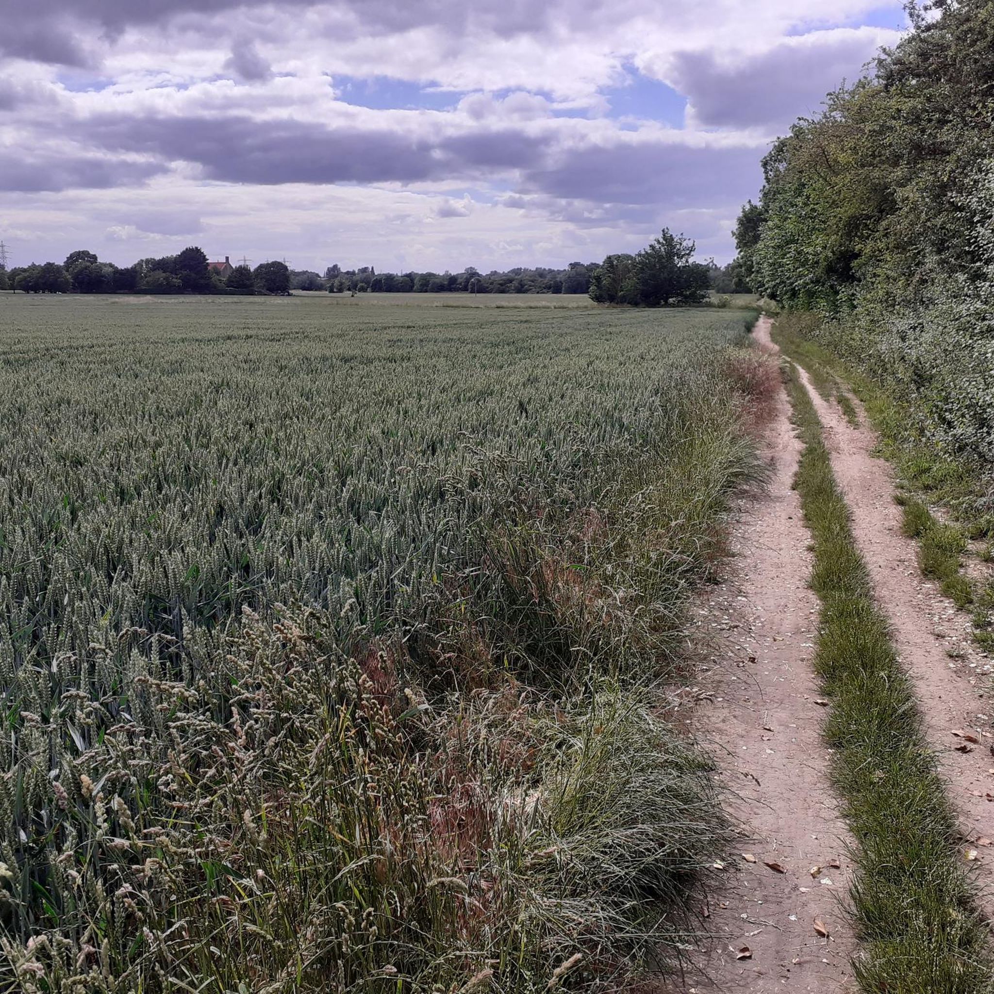
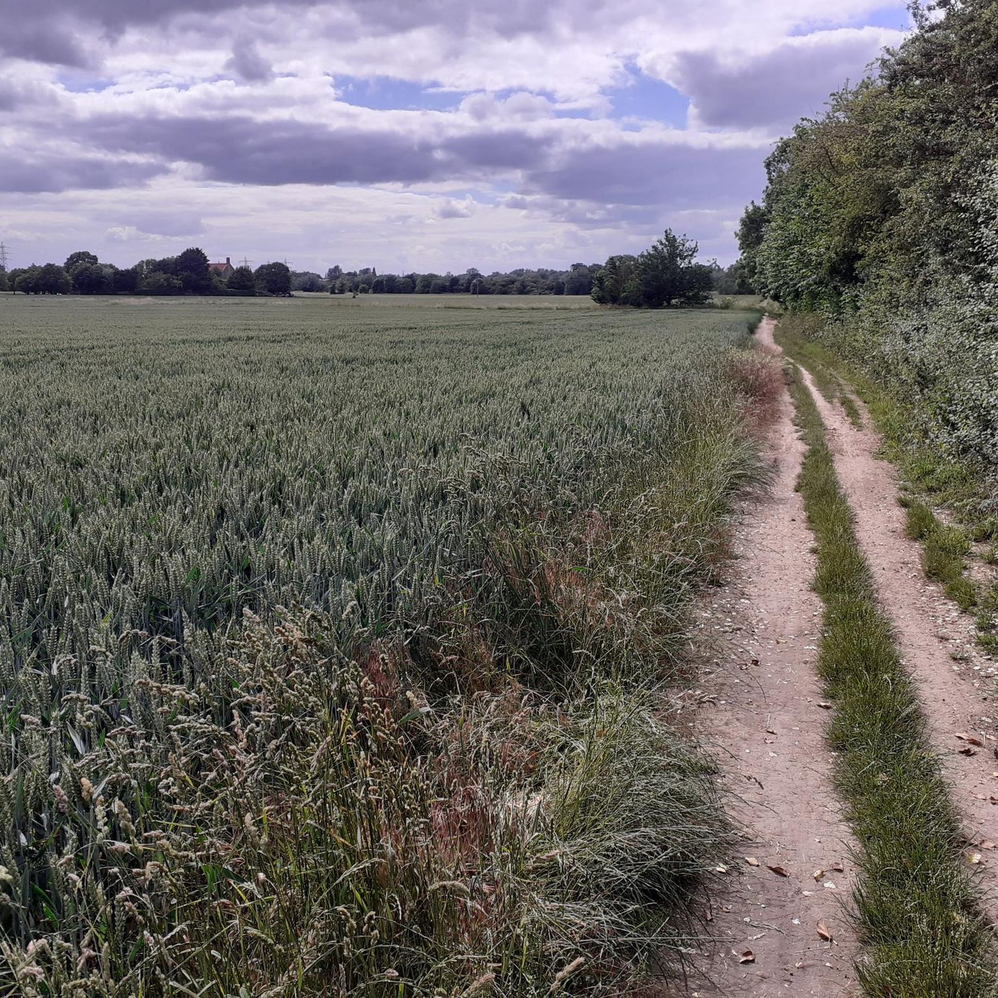
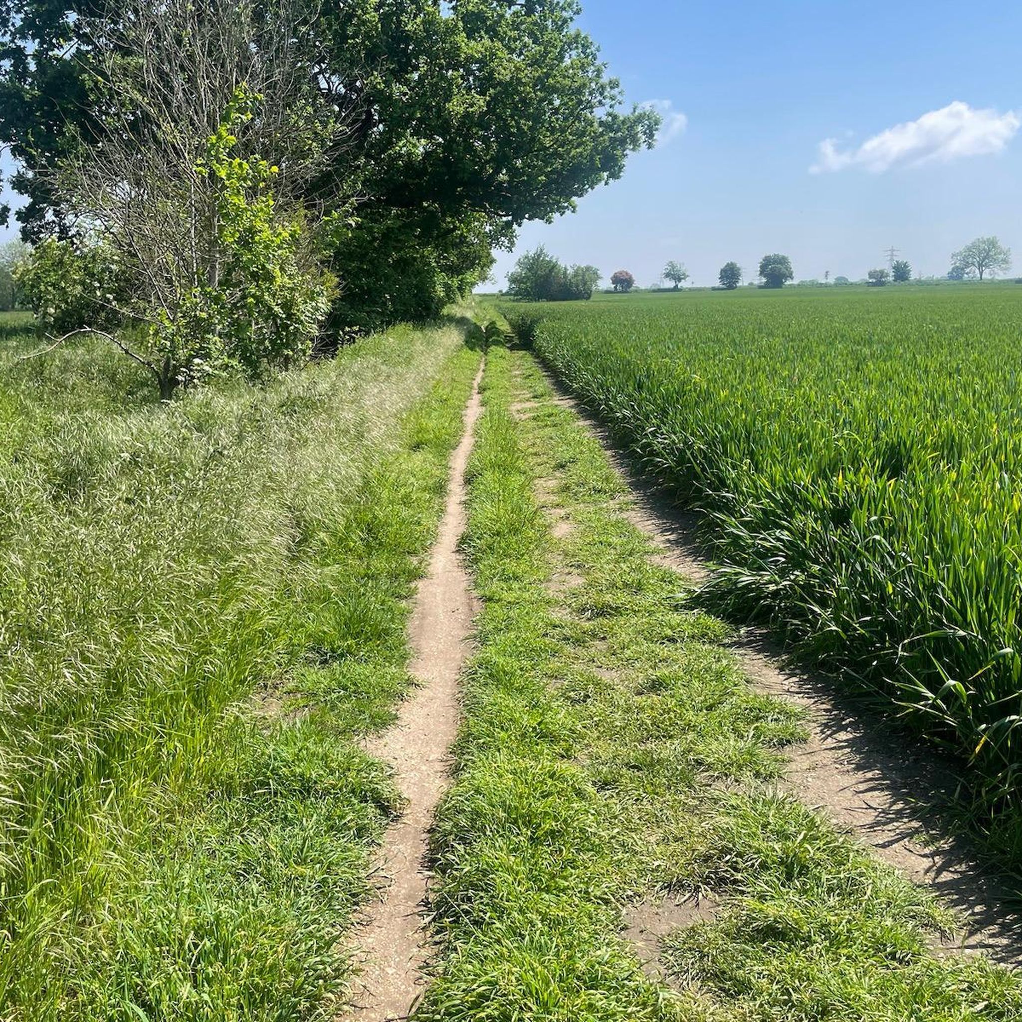
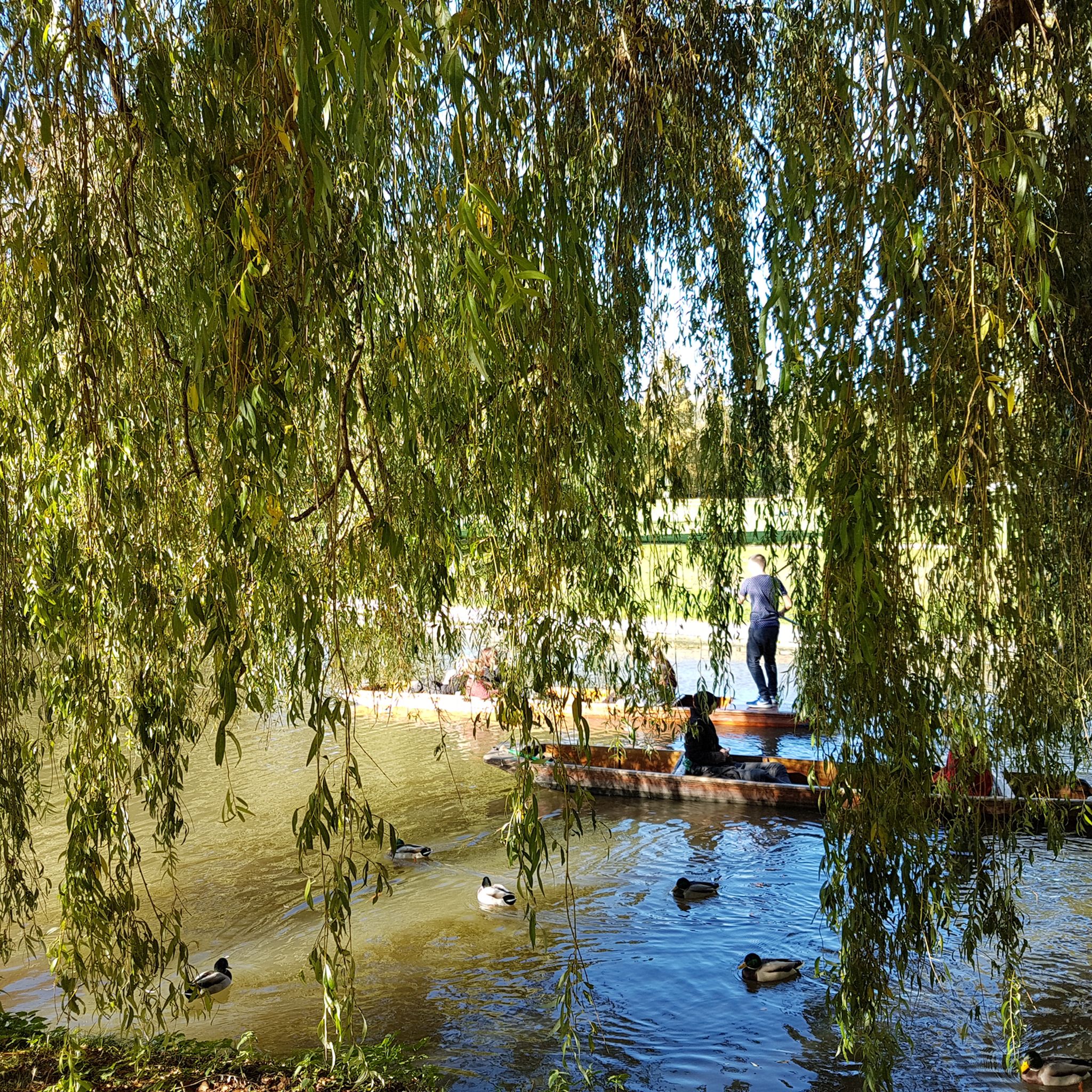

Tips from the Community

Small village really worth visiting on a bike tour with several nice houses.
1
0
The Windmill at Fulbourn stands on an outlier of the Gog Magog Hills 4 miles east of the City of Cambridge. Low chalk hills run to the south of it; northwards the Windmill overlooks the Fens which are at most only a few feet above sea level. The cap of the Windmill rises to 160 feet above sea-level and from it there is an uninterrupted view of the roofs and towers of Ely Cathedral. It has long been an outstanding landmark in the south Cambridgeshire countryside. It was the enclosure of the parish for the improvement of cultivation that led to the building of the present Windmill. Much of the land in the north of the parish was low-lying and waterlogged and needed draining to convert it into profitable arable land. Fulbourn Fen was a peat fen only 20 feet above sea level over which the Great Wilbraham River spread its waters in times of flood. The Act of Enclosure for Fulbourn was passed in 1806 and the Commissioners completed their work two years later. The drainage of the parish reduced the level of water in the upper reaches of the Great Wilbraham River on which the manorial watermill was situated. The loss of power brought to an end the life of a mill which had first been recorded in Domesday Book. In 1808 the machinery of the watermill was put up for sale. A new mill was therefore needed and the Enclosure Commissioners allotted one acre on Mill Hill, on which to build a mill and miller’s cottage, to John Chaplin, a considerable landowner and farmer. He used copies of Old Moore’s Almanack as a diary, entering personal events and business notes in the margins of the calendar. In 1808 he recorded against 11 July, ‘I laid the first brick of my mill’; 22 November, ‘Mill sails put up’; 15 December, ‘Began grinding’. It is a large octagonal smock mill with a brick base and wooden superstructure. Its outline is squat with a shallow conical cap. The fantail, as usual in Cambridgeshire mills, is close against the cap. The mill holds three stones, one of French burr and two of Derbyshire stone. With floors 24 feet in diameter, there is exceptional space for working the mill. (https://fulbournwindmill.org.uk/history.html)
1
0

P.S. The land owner/farmer has obviously had problems with unauthorised vehicles using this track, because there are now large hay bales installed either side of the ford and in front of nearby farm gates. Access across the stream via the adjacent footbridge is still possible, but don't be disappointed if you wanted to take a run through the ford. P.P.S. The hay bales have now been removed from the ford!
1
0

Great double-track circumventing Hauxton High St, incl. underpass of M1, leading all the way to Great Shelford
0
0


nice sections of fast gravel on either side of the ford. great section from Babraham to Stapleford
0
0

Haslingfield is a charming, thriving village in South Cambridgeshire. It has two beautiful churches, a number of quaint properties, and a pleasant, serene village ambience. The village easily dates back to mediaeval times, and even Queen Elizabeth I stayed here back in 1564.
2
0

Frequently Asked Questions
How many gravel bike trails are available around Girton?
There are over 25 gravel bike trails around Girton, offering a variety of experiences. These routes are highly rated by the komoot community, with an average score of 4.4 stars from over 60 reviews.
What kind of terrain can I expect on gravel bike trails around Girton?
The terrain around Girton is characterized by its gently undulating landscape, historically developed on gravelly ground. You'll find a network of rural pathways, ancient Roman roads like the Via Devana, and tracks through arable fields. Many routes also pass through natural woodlands, offering a mix of open countryside and sheltered sections.
Are there beginner-friendly gravel bike trails in Girton?
Yes, Girton offers several easy gravel biking options, with 14 routes specifically rated as easy. An excellent choice for beginners is the Grantchester Village – DNA Path Rainbow Cycleway loop from Cambridge, an easy 15.0-mile (24.1 km) path that takes you through the historic Grantchester Village.
Are there options for more experienced gravel bikers?
Absolutely. For those seeking a bit more challenge, there are 11 moderate gravel routes around Girton. Consider the A1301 Cycle Path – DNA Path Rainbow Cycleway loop from Cambridge, a 44.8-mile (72.1 km) route that provides a longer and more engaging ride.
Can I find long-distance gravel biking routes near Girton?
Yes, some routes extend further, offering longer rides. The A1301 Cycle Path – DNA Path Rainbow Cycleway loop from Cambridge is a good example, covering 44.8 miles (72.1 km) and typically taking around 3 hours and 15 minutes to complete.
Are there circular gravel bike routes available?
Many of the gravel bike routes around Girton are designed as loops, allowing you to start and finish at the same point. For instance, the popular DNA Path Rainbow Cycleway – Southern Busway Cycle Path loop from Cambridge is an 18.8-mile (30.3 km) circular trail.
What can I see along the gravel bike trails around Girton?
The routes often incorporate scenic and historical points of interest. You might pass by the DNA Path Rainbow Cycleway, the Cambridge Guided Busway Cycle Path, or even catch glimpses of significant landmarks like King's College Chapel and the Mathematical Bridge at Queens' College in the wider Cambridge area.
Are there any natural attractions or lakes near the gravel routes?
Yes, the region offers natural beauty, including several lakes. You might find yourself near Far Fen Lake or the Fen Drayton Lakes Nature Reserve, which are great for wildlife spotting and enjoying tranquil waterside views.
What is the best time of year for gravel biking in Girton?
The gravelly nature of the terrain and ancient Roman roads means routes are generally well-drained, making them suitable for much of the year. Spring and autumn offer pleasant temperatures and vibrant scenery, while summer provides longer daylight hours. Even in winter, the stable surfaces can be enjoyable, though conditions may vary.
Are there opportunities for wildlife spotting on the trails?
Yes, the area's conservation status and natural features, including the woodlands of Girton College and surrounding arable fields, create habitats for diverse wildlife. Keep an eye out for various bird species and other local fauna, especially during warmer months when hedgerows are teeming with life.
What do other gravel bikers enjoy most about gravel biking in Girton?
The area is highly rated by the komoot community, with an average score of 4.4 stars. Reviewers often praise the quiet, well-drained ancient Roman roads and rural pathways, the mix of open countryside and sheltered sections through woodlands, and the overall accessibility of the cycle-friendly Cambridge network.
Are there any routes that pass through historic villages?
Yes, some routes offer a glimpse into the region's history by passing through charming villages. The Grantchester Village – DNA Path Rainbow Cycleway loop from Cambridge is a great example, taking you through the picturesque Grantchester Village.
Most popular routes around Girton
Most popular attractions around Girton

Get inspired with the komoot mobile app


Explore more
Browse the best Gravel rides in other regions.
