The best gravel rides around Wilby
5.0
(147)
68
riders
4
rides
Gravel biking around Wilby features routes that traverse the flat to gently rolling terrain of Northamptonshire, characterized by river valleys and open countryside. The region's gravel bike trails often follow the River Nene and pass by local nature reserves and reservoirs. Elevations are generally low, with most climbs under 250 meters, making the area accessible for various skill levels.
Best gravel bike trails around Wilby
- The most popular gravel bike trail is River Nene Path – View of Woodford Lock…
Last updated: July 3, 2026
5.0
(87)
21
riders
39.2km
02:06
200m
200m
Moderate gravel ride. Good fitness required. Mostly paved surfaces. Suitable for all skill levels.
5.0
(53)
11
riders
34.1km
01:47
160m
160m
Moderate gravel ride. Good fitness required. Mostly paved surfaces. Suitable for all skill levels.

Sign up for free
5.0
(1)
8
riders
Moderate gravel ride. Good fitness required. Mostly paved surfaces. Suitable for all skill levels.
5.0
(5)
8
riders
15.0km
00:45
50m
50m
Easy gravel ride. Great for any fitness level. Mostly paved surfaces. Suitable for all skill levels.
4
riders
41.8km
02:12
250m
250m
Moderate gravel ride. Good fitness required. Mostly paved surfaces. Suitable for all skill levels.
Our route recommendations are based on thousands of hikes, rides, and runs completed by other people on komoot.
Start today with a free account
Your next adventure awaits.
Login or Signup
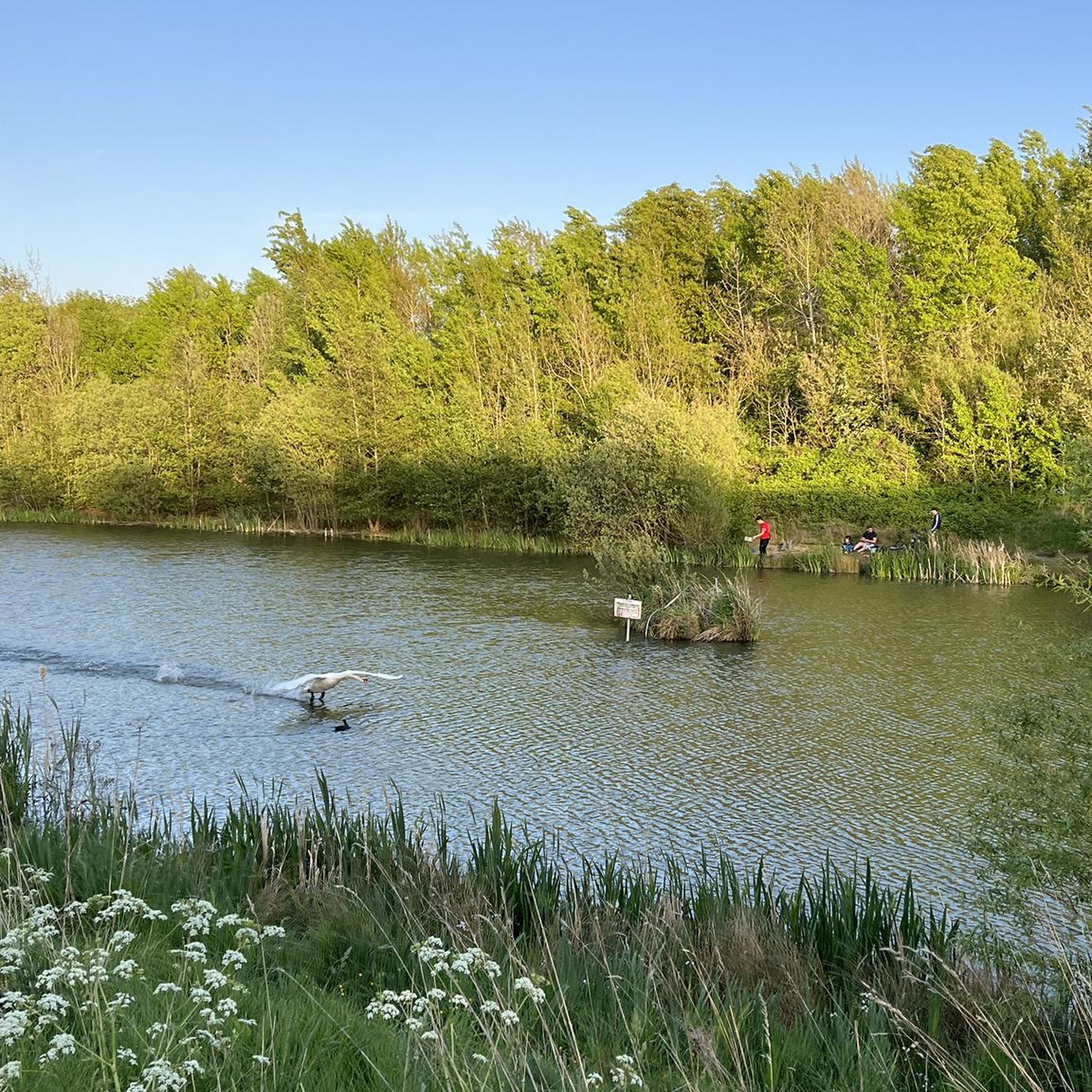
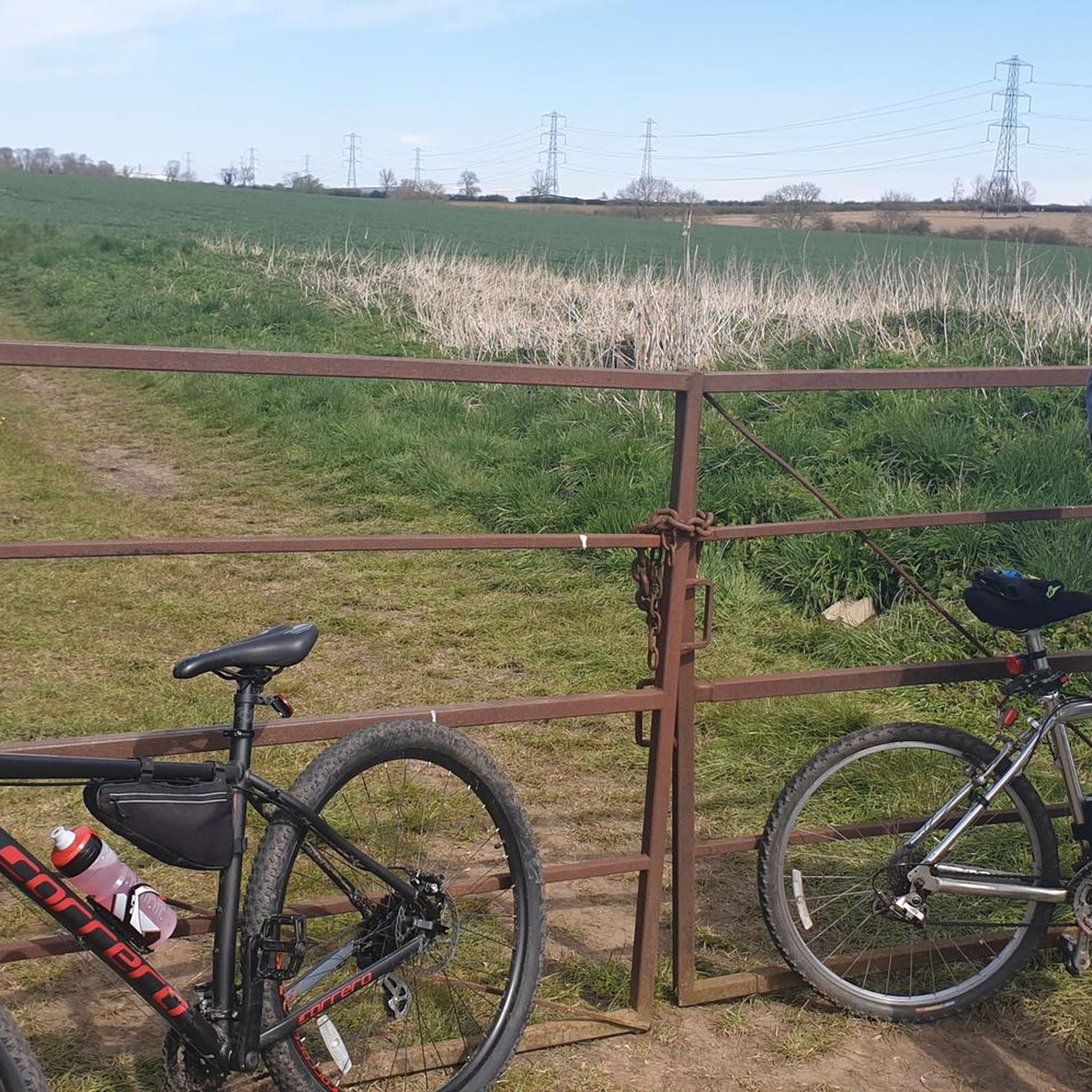
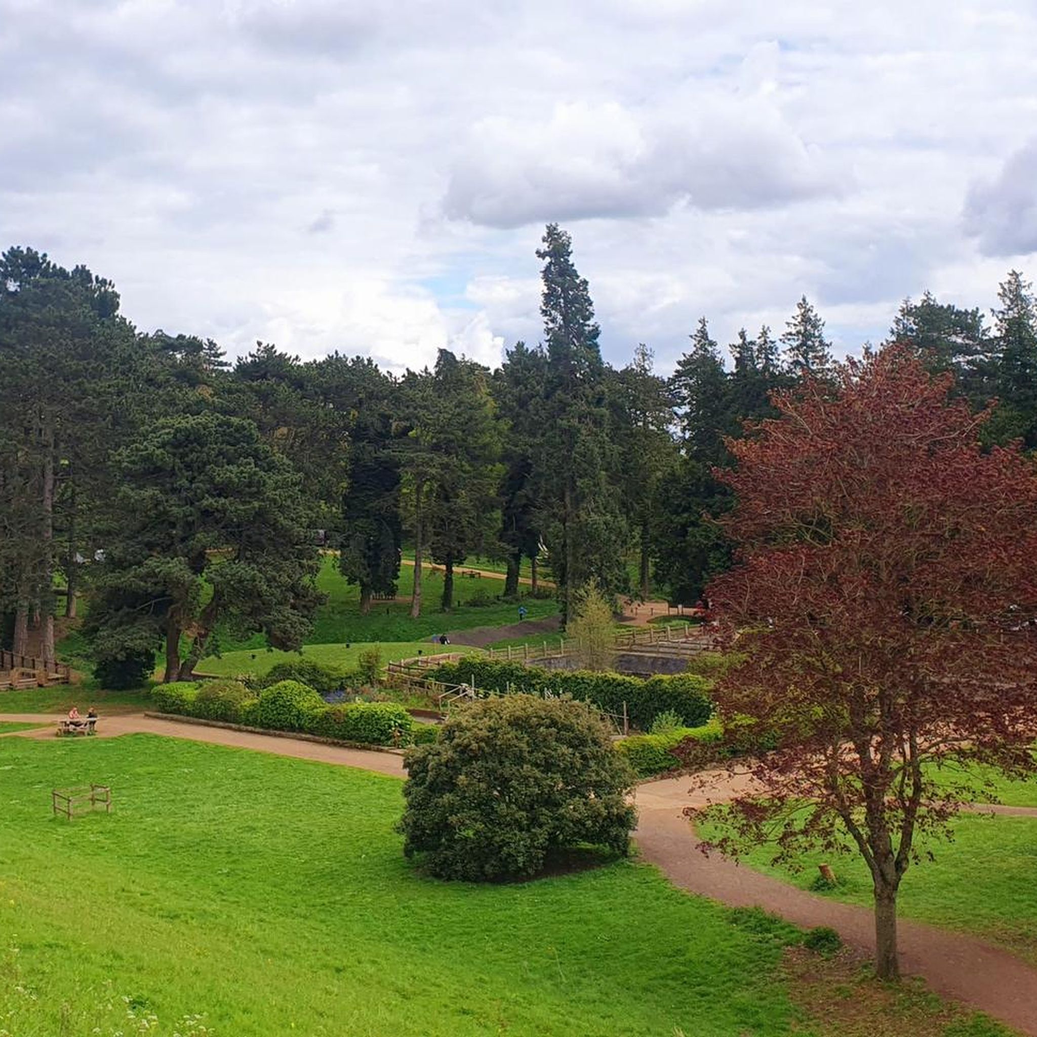
Tips from the Community

Lovely, easy gravel paths. Can get busy at weekends with walkers etc, so can be a bit slow going. But early morning, weekdays etc usually all pretty good.
0
0

Miles of walk/run/cycleway in a beautiful area with lots to see & do. Lots of families out enjoying the sunshine today
0
0

The Brampton Valley Way is a 14-mile (22 km) traffic-free trail between Northampton and Market Harborough, following a disused railway line. It’s popular with cyclists, walkers, and horse riders thanks to its mostly flat, scenic route through countryside and woodland. Two long, unlit tunnels at Kelmarsh and Oxendon add an adventurous twist – lights are essential. The surface is a mix of gravel and dirt, best suited to hybrid or mountain bikes.
0
0


The Bampton Valley Way is a 14-mile (22.5km) disused railway trail between Northampton and Market Harborough. It's a well surfaced multi-user trail, perfect for easy rides, families or as part of a commute. The trail follows a section of the old Northampton–Market Harborough railway line. It opened in 1859 and closed in 1981.
2
0


Woodford Lock is located on the River Nene in Northamptonshire. The lock is set in a picturesque rural landscape surrounded by lush countryside. It's one of several locks along the River Nene, allowing boats to navigate the varying water levels of the river.
1
0

Frequently Asked Questions
What kind of terrain can I expect on gravel bike trails around Wilby?
The gravel bike trails around Wilby feature flat to gently rolling terrain, characteristic of Northamptonshire. You'll often find yourself riding along river valleys, particularly the River Nene, and through open countryside. Elevations are generally low, with most climbs under 250 meters, making the area accessible for various skill levels.
Are there any easy gravel bike routes suitable for beginners in Wilby?
Yes, there are routes suitable for beginners. For an easier ride, consider the River Nene Path – Bridge Over the River Nene loop from Rushden. This route is approximately 9.3 miles (14.9 km) long with minimal elevation gain, making it a great option for those new to gravel biking or looking for a relaxed outing.
What are some popular gravel biking routes in the Wilby area?
Among the most popular routes are the River Nene Path – View of Woodford Lock loop from Irthlingborough, which offers scenic views along the River Nene, and the River Nene Path – Stanwick Lakes loop from Wellingborough, which explores the area around Stanwick Lakes. Another local favorite is the Brampton Valley Way – View of Pitsford Arm loop from Abington Meadows Nature Reserve, which follows former railway lines.
Are there any circular gravel bike routes in Wilby?
Yes, many of the gravel bike routes around Wilby are designed as loops. For example, the River Nene Path – View of Woodford Lock loop from Irthlingborough and the River Nene Path – Stanwick Lakes loop from Wellingborough are both popular circular routes that allow you to start and end in the same location.
What kind of natural features or landmarks can I see along the gravel bike trails?
The routes often pass by significant natural features such as the River Nene, various nature reserves, and reservoirs. You can also find highlights like Pitsford Water and Pitsford Water at Brixworth Country Park. Other points of interest include the Sywell Reservoir Bird Hide and the Viewpoint and Birdwatching at Summer Leys Nature Reserve.
What do other gravel bikers say about the trails in Wilby?
The gravel biking routes around Wilby are highly regarded by the komoot community, holding an average rating of 5.0 stars from over 100 reviews. Riders frequently praise the accessible terrain, scenic river paths, and the peaceful open countryside that defines the area's cycling experience.
Are there any routes that feature reservoirs or lakes?
Absolutely. Several routes incorporate views of the region's reservoirs and lakes. The River Nene Path – Stanwick Lakes loop from Wellingborough explores the area around Stanwick Lakes, while the View of Pitsford Reservoir – View of Pitsford Water loop from Mawsley offers extensive views of Pitsford Water.
How many gravel bike trails are available around Wilby?
There are approximately 6 gravel bike trails available around Wilby, offering a good variety of routes for different preferences. All of these routes are considered moderate in difficulty, with one being an easier option.
Can I find routes that follow old railway lines?
Yes, you can. The Brampton Valley Way – View of Pitsford Arm loop from Abington Meadows Nature Reserve is a notable route that leads through former railway lines, providing a unique and generally flat riding experience.
What is the typical elevation gain on Wilby's gravel routes?
The gravel routes around Wilby are characterized by generally low elevation gains. Most climbs are under 250 meters, with the highest recorded elevation gain on a single route being around 252 meters. This makes the area suitable for riders who prefer less strenuous ascents.
Are there any historical sites or attractions near the gravel trails?
While the focus is on natural landscapes, you can find some historical points of interest nearby. For instance, Castle Ashby Rural Shopping Yard and St Peter and St Paul’s Church, Hannington are examples of attractions in the wider Wilby area that you might encounter or visit before/after your ride.
What is the longest gravel bike route available in Wilby?
The longest gravel bike route in the area is the View of Pitsford Reservoir – View of Pitsford Water loop from Mawsley, which spans approximately 26 miles (41.7 km). This route offers a comprehensive tour of the Pitsford Water area.
Most popular attractions around Wilby

Get inspired with the komoot mobile app


Explore more
Browse the best Gravel rides in other regions.
