The best gravel rides around Little Cressingham
5.0
(1)
9
riders
4
rides
Gravel biking around Little Cressingham is characterized by its location within the Breckland District of Norfolk, featuring a broad, shallow valley with a flat floor and gentle sides. The terrain is underlain by Upper Chalk and glacial drift deposits of sand, gravel, clay, and silt, providing varied surfaces for gravel cycling. The region includes unique natural features like the pingos of Thompson Common and benefits from a network of quiet lanes and gently undulating countryside. The ancient Peddars Way, a…
Last updated: July 3, 2026
5.0
(1)
2
riders
30.1km
01:55
120m
120m
Easy gravel ride. Great for any fitness level. Mostly paved surfaces. Suitable for all skill levels.
3
riders
65.6km
03:55
260m
260m
Moderate gravel ride. Good fitness required. Mostly paved surfaces. Suitable for all skill levels.

Sign up for free
2
riders
11.6km
00:51
50m
50m
Easy gravel ride. Great for any fitness level. Mostly paved surfaces. Suitable for all skill levels.
36.1km
02:20
180m
180m
Moderate gravel ride. Good fitness required. Mostly paved surfaces. Suitable for all skill levels.
Our route recommendations are based on thousands of hikes, rides, and runs completed by other people on komoot.
Start today with a free account
Your next adventure awaits.
Login or Signup
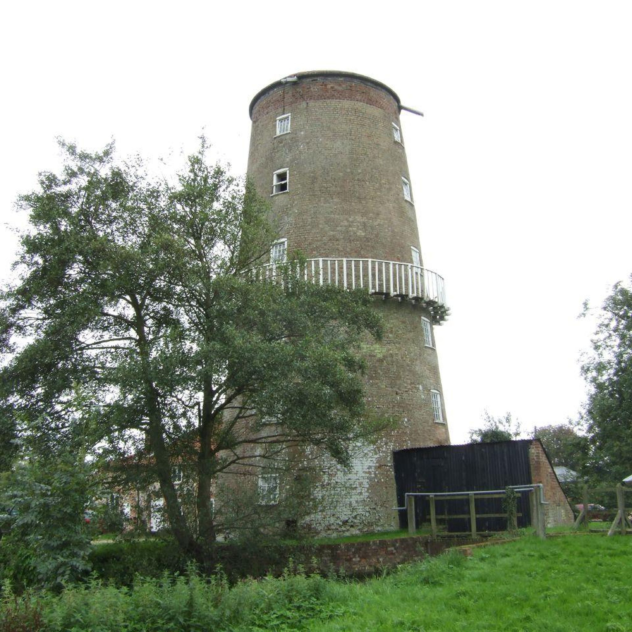
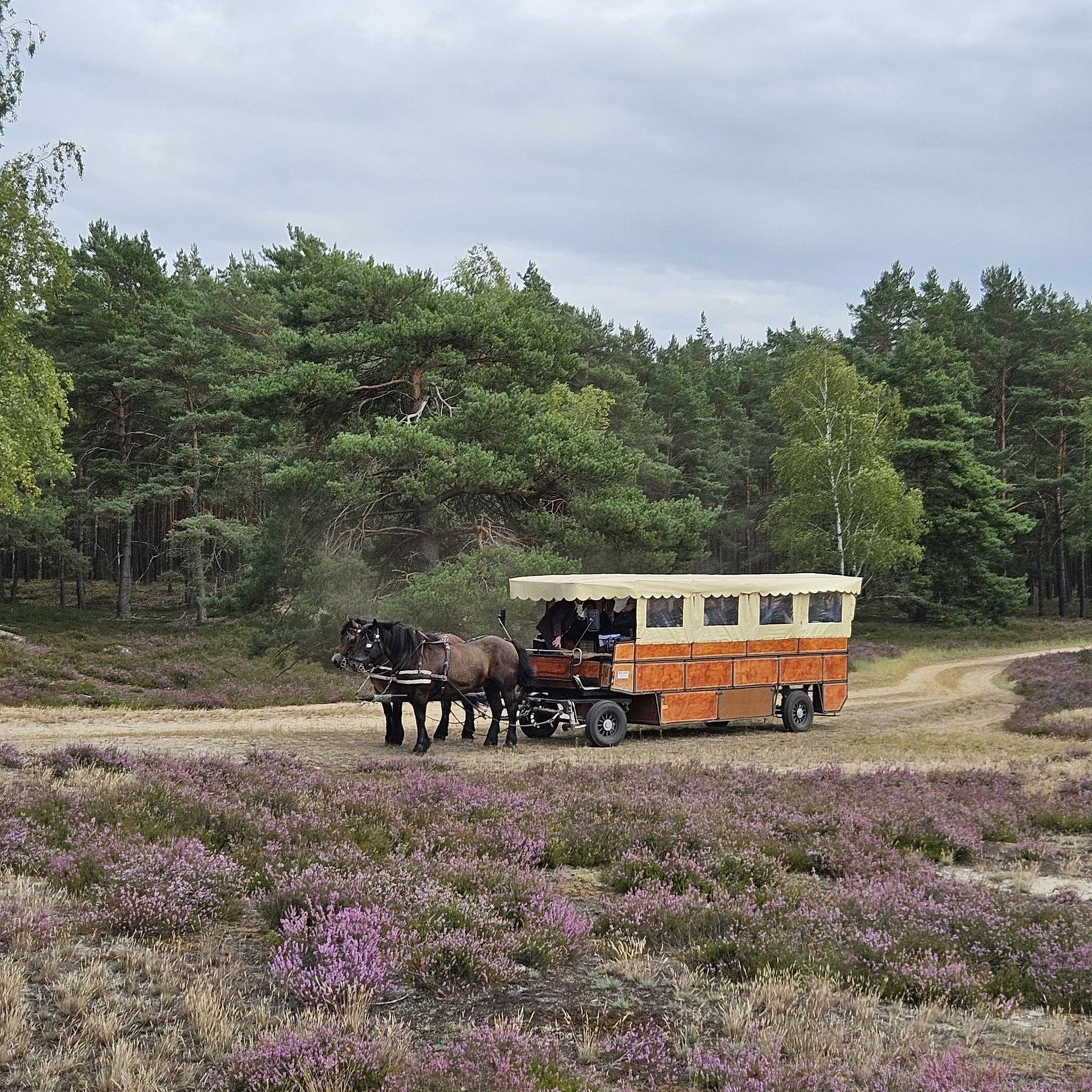
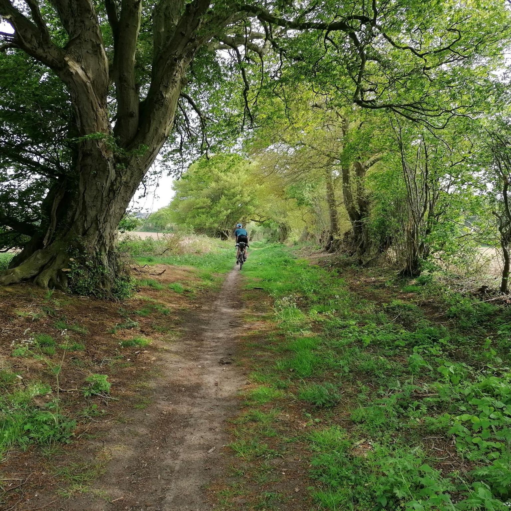
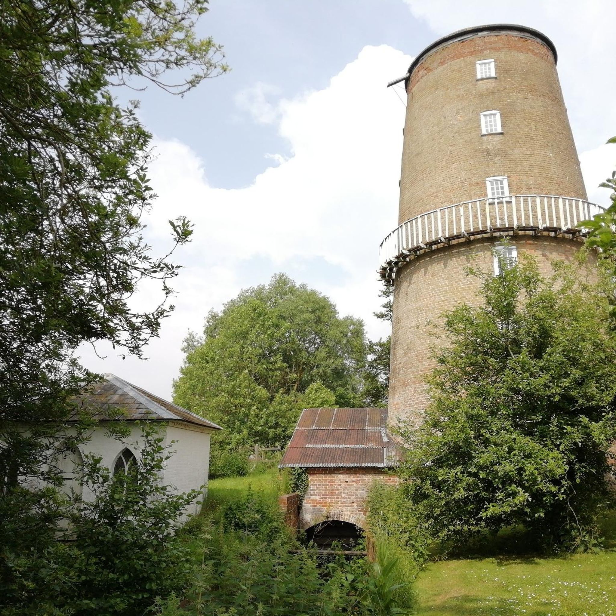
Tips from the Community

Cafe, serving light lunches, hot & cold drinks Open 7 days a week from 8am-5pm. https://www.shepherdsbaalynford.co.uk/
0
0

Take time to go off the trail to the bird hides and vantage points around the water. The route is best in spring before the nettles take over the path in summer!
0
0


Coffee wagon Thursday to Sunday 10 a.m. till 3 p.m. Around 30 wild ponies roaming.
0
0

Starting from the forestry commision car park, hed over the bridge and turn right. This will give you several options for forestry trails and if you head towards Lynford you can then pop on to the road for a short trip to Browns cafe.
0
0

The inscription is a bit faded now, but reads: The footprint of our ancestors Familiar as our own faces Remote as fossils Written on clay And washed away Over & over Over and over For more info about the Songline see: https://www.luphen.org.uk/walks/peddars_way/norfolk_songline.htm
0
0

A really useful wooden footbridge across the River Little Ouse near Santon House. It carries a footpath over the river used by several long distance trails. The Little Ouse Path crosses here.
0
0
The Stanton Downham Bridge was built during the first world war as a rail bridge to transport timber and logging machines. It's been a road bridge since about 1922. The bridge crosses the Little Ouse River.
0
0
Frequently Asked Questions
How many gravel bike trails are available around Little Cressingham?
There are 5 gravel bike trails documented around Little Cressingham on komoot, offering a range of experiences from easy forest paths to moderate long-distance routes through varied terrain.
What kind of terrain can I expect on gravel bike trails in Little Cressingham?
The terrain around Little Cressingham is characterized by the Breckland environment, featuring a mix of firm, flat surfaces and more challenging tracks. You'll encounter glacial drift deposits of sand and gravel, quiet rural lanes, and sections of the ancient Peddars Way, which combines dirt paths, gravel tracks, and forest trails.
Are there any easy gravel bike trails suitable for beginners or families?
Yes, there are easy routes available. For instance, the Santon Downham Bridge – Forest Picnic Spot loop from Mundford is an easy 18.7-mile trail that takes you through pleasant forest landscapes. Another easy option is the Lynford Stag – Brown Bomb Hole loop from Grime's Graves, which is shorter at 7.2 miles and offers varied terrain.
What natural features or landmarks can I see along the gravel bike routes?
You can explore unique natural features like the 'pingos' of Thompson Common, which are post-glacial depressions resembling small ponds. The Thompson Water – Desert Rats Memorial loop from Wayland Wood specifically explores these formations, passing by Thompson Water, Pingo Pond on the Pingo Trail, and Thompson Common Pingos and Ponds. You'll also pass the Desert Rats Memorial.
Are there any long-distance gravel cycling routes that pass through or near Little Cressingham?
Yes, the ancient Peddars Way, a 46-mile long-distance off-road trail, passes through the area. It's perfect for gravel bikes, combining dirt paths, gravel tracks, and forest sections. The Knettishall Heath Ponies – Peddars Way Trail loop from Hockham is a moderate 36-kilometer route that incorporates a section of this historic trail.
What is the best time of year for gravel biking in Little Cressingham?
The region's terrain, with its glacial drift deposits of sand and gravel, generally offers good riding conditions throughout much of the year. However, spring and autumn provide pleasant temperatures and beautiful scenery. While specific winter conditions aren't detailed, the varied surfaces mean some trails might be muddier after heavy rain.
Are there any circular gravel bike routes available?
Yes, all the routes listed in this guide are circular loops, allowing you to start and finish at the same point. Examples include the Santon Downham Bridge – Forest Picnic Spot loop from Mundford and the Thompson Water – Desert Rats Memorial loop from Wayland Wood.
Is there parking available near the gravel bike trails?
While specific parking locations for each route aren't detailed, many routes start from villages or trailheads where parking is typically available. For example, routes like the Santon Downham Bridge – Forest Picnic Spot loop starts from Mundford, and the Thompson Water – Desert Rats Memorial loop from Wayland Wood, which are common starting points for exploring the area.
Are the gravel bike trails in Little Cressingham dog-friendly?
Many of the trails in the Breckland area, especially those on public byways and bridleways, are generally dog-friendly. However, it's always recommended to keep dogs under control, especially near livestock or in nature reserves like Thompson Common, which is rich in biodiversity. Check local signage for specific restrictions.
Can I find cafes, pubs, or accommodation suitable for cyclists in Little Cressingham or nearby?
Little Cressingham itself is a small village, but the broader Norfolk region is known for its rural charm. You'll find cyclist-friendly cafes, pubs, and accommodation in nearby towns and villages along popular routes like the Peddars Way. It's advisable to check in advance for specific amenities along your chosen route.
What makes the Breckland landscape unique for gravel biking?
The Breckland landscape is unique due to its underlying Upper Chalk and glacial drift deposits of sand, gravel, clay, and silt. This geological makeup creates varied surfaces ideal for gravel biking. Additionally, the area features distinctive natural elements like the 'pingos' of Thompson Common and a network of quiet lanes, offering a peaceful and scenic riding experience.
Are there any specific permits required for cycling on byways or bridleways in Norfolk?
Generally, no specific permits are required for cycling on public byways and bridleways in Norfolk, as these are public rights of way. However, always respect private land, follow the Countryside Code, and be mindful of other users. Some specific nature reserves or private estates might have their own rules, so it's good practice to check local signage.
Most popular attractions around Little Cressingham

Get inspired with the komoot mobile app


Explore more
Browse the best Gravel rides in other regions.
