The best gravel rides around Brooke
4.3
(11)
111
riders
2
rides
Gravel biking around Brooke offers a network of trails through varied rural landscapes. The region features a mix of open countryside, agricultural paths, and sections along former railway lines. Elevation gains are generally moderate, with some routes including longer climbs. This terrain provides diverse conditions suitable for gravel biking.
Best gravel bike trails around Brooke
- The most popular gravel bike trail is Marriott's Way – Marriott's Way loop from Brundall Gardens, an 89.0 miles (143.3 km) trail that takes…
Last updated: July 3, 2026
4.8
(5)
84
riders
56.6km
03:22
270m
270m
Moderate gravel ride. Good fitness required. Mostly paved surfaces. Suitable for all skill levels.
4.5
(4)
13
riders
32.4km
02:01
240m
240m
Moderate gravel ride. Good fitness required. Mostly paved surfaces. Suitable for all skill levels.

Sign up for free
3.0
(1)
7
riders
81.0km
04:46
350m
350m
Moderate gravel ride. Good fitness required. Mostly paved surfaces. Suitable for all skill levels.
5.0
(1)
4
riders
143km
08:17
810m
810m
Hard gravel ride. Very good fitness required. Mostly paved surfaces. Suitable for all skill levels.
2
riders
28.4km
01:43
130m
130m
Easy gravel ride. Great for any fitness level. Mostly paved surfaces. Suitable for all skill levels.
Our route recommendations are based on thousands of hikes, rides, and runs completed by other people on komoot.
Start today with a free account
Your next adventure awaits.
Login or Signup
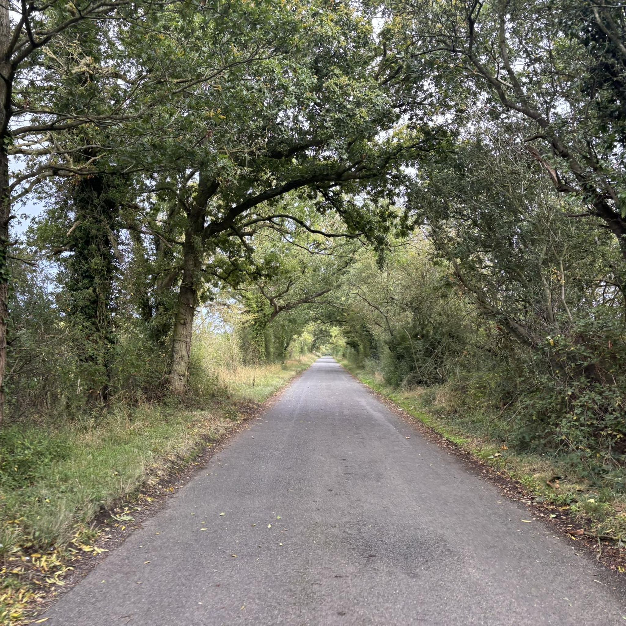
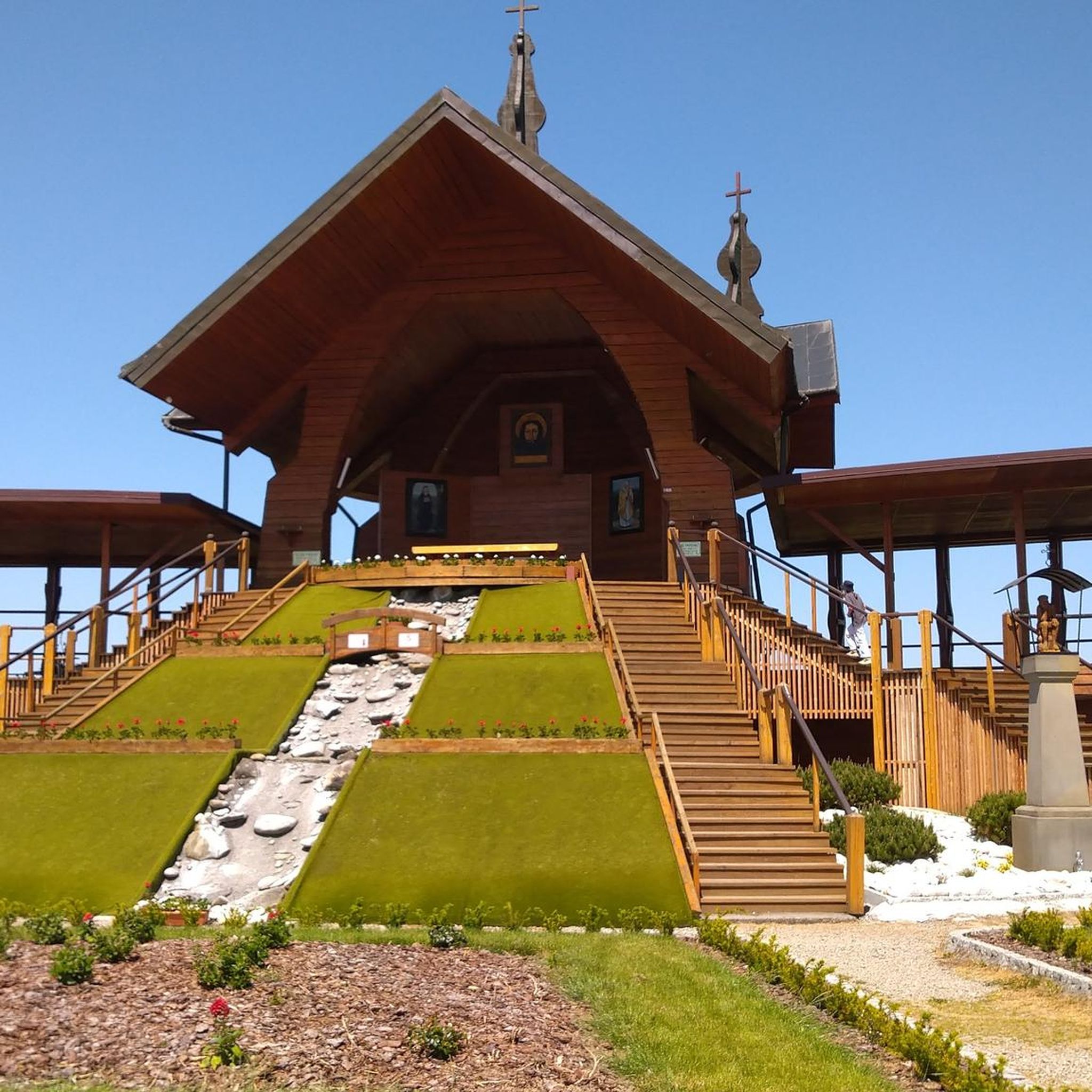

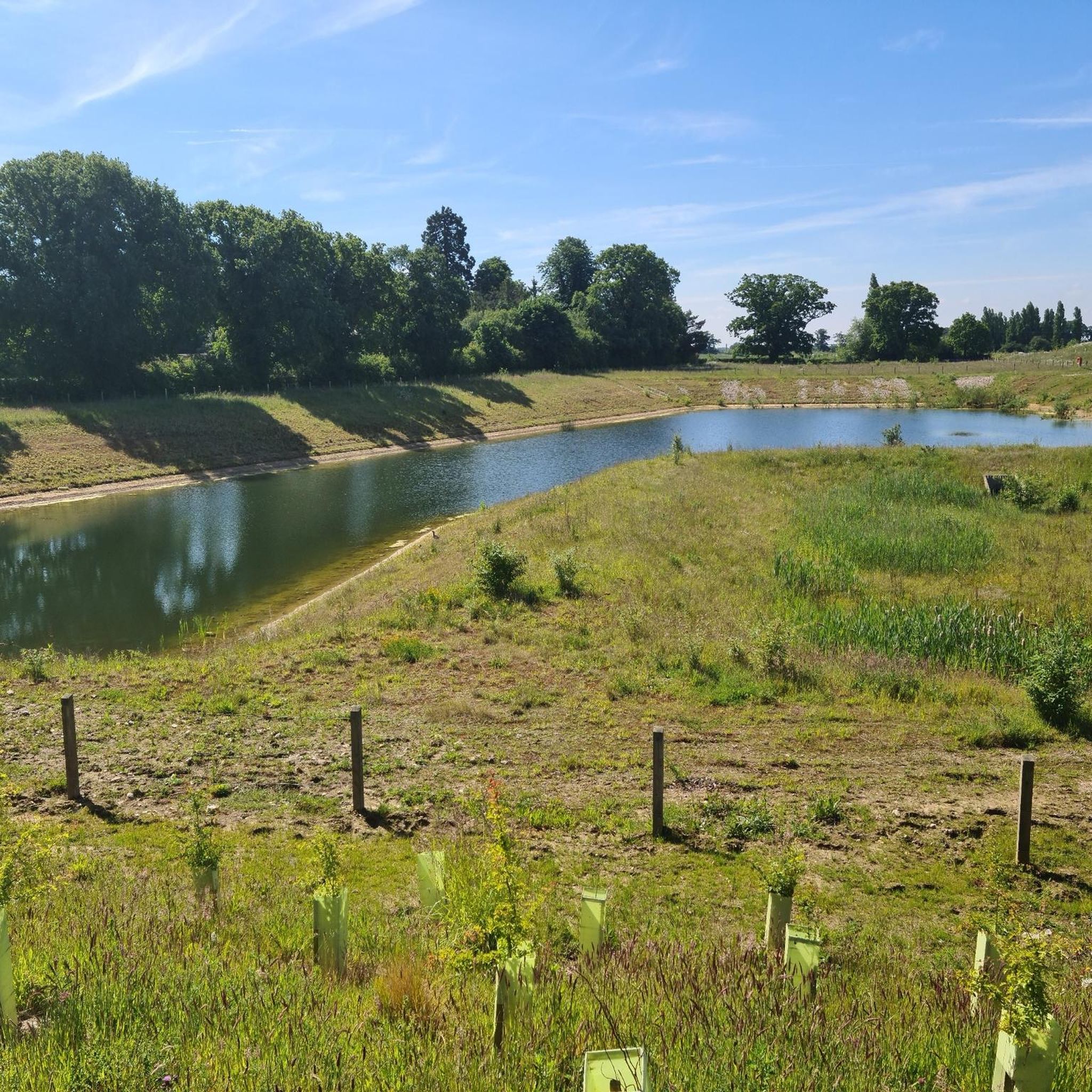

Tips from the Community


The old Station at Whitwell, great stop spot, cafe, and facilities.
0
0

Coltishall Station is one of the narrow gauge stations on the Bure Valley Railway line. It's also an access point for the nine mile (14.5 km) Bure Valley Path.
0
0

I've ridden Marriotts way many times, and it's a great route. However foolishly I didn't appreciate how muddy many parts of it get when it's been wet.
0
0


Marriott's Way is a 26-mile (42km) surfaced multi-user path which follows the routes of two disused railway lines, running between Aylsham and Norwich.
0
0

Pleasure to ride this mostly continuous path from Aylsham to Norwich (in dry conditions) through changing settings and off-road surfaces
0
0
It's a nice feature to test your handle bars cycling up to the road. :) However, once up on the road, do not get confused by the Marriott Way sign across the road pointing leftward, as you need to turn right and left onto Station Road and descend down quite a chunky gravel descent (possibly due to construction work).
0
0
Frequently Asked Questions
How many gravel bike trails are available around Brooke?
There are several gravel bike trails around Brooke, offering a variety of routes through the region's rural landscapes. You'll find options ranging from moderate to difficult, catering to experienced gravel bikers.
What is the general difficulty level of gravel biking in Brooke?
Gravel biking in Brooke is generally suited for experienced riders, with routes primarily classified as moderate or difficult. There are 3 moderate routes and 2 difficult routes available, featuring varied terrain and elevation gains.
Are there any beginner-friendly gravel bike trails in Brooke?
Most gravel bike trails around Brooke are rated moderate to difficult, meaning they are better suited for riders with some experience. There are no routes specifically classified as easy in this guide.
What are some of the longer gravel bike routes in the Brooke area?
For a challenging long-distance ride, consider the Marriott's Way – Marriott's Way loop from Brundall Gardens, which spans 89.0 miles (143.3 km) and takes approximately 10 hours to complete. Another substantial option is the Plantation Bridge – Marriott's Way loop from Brundall, covering 81.0 miles (130.4 km).
Are there any circular gravel bike routes around Brooke?
Yes, all the routes featured in this guide are circular. Examples include the moderate Marriott's Way – Marriott's Way loop from Danby Wood and the The Globe Pub – St Peter's Church, Brooke loop from Brooke, which takes you through local villages and countryside.
What kind of scenery can I expect on gravel bike trails near Brooke?
The trails around Brooke offer diverse rural scenery, including open countryside, agricultural paths, and sections along former railway lines like Marriott's Way. You'll experience a mix of natural landscapes and glimpses of local village life.
What do other gravel bikers enjoy most about the trails in Brooke?
The gravel biking routes in Brooke are highly rated by the komoot community, with an average score of 4.4 stars from over 10 reviews. Riders often praise the varied terrain, the mix of open views, and the experience of riding along historic routes like Marriott's Way.
Are there any interesting landmarks or attractions along the gravel bike routes?
While riding, you might pass by points of interest such as St Peter's Church, Brooke. The wider area also features natural highlights like Whitlingham Great Broad and RSPB Rockland Marshes Nature Reserve, as well as historical sites like Norwich Castle and Norwich Cathedral, which are accessible from nearby towns.
Are there places to stop for refreshments near the gravel bike trails?
Yes, some routes pass near villages or pubs. For example, the Abbot's Farm Track – The Globe Pub loop from Norwich starts and ends near The Globe Pub. You can also find cafes like Étude Coffee at The Silo in the broader Brooke area.
What is the best time of year for gravel biking in Brooke?
The varied terrain of Brooke, including agricultural paths and former railway lines, can be enjoyed throughout much of the year. However, conditions can vary with weather, so checking local forecasts is always recommended, especially during wetter seasons.
Is public transport available to reach the gravel bike trailheads in Brooke?
While specific public transport links directly to all trailheads are not detailed, Brooke is a village with local bus services that may connect to nearby towns like Norwich. From Norwich, you might find more extensive public transport options to get closer to some starting points.
Where can I park when gravel biking around Brooke?
Parking availability will depend on the specific trailhead you choose. Many routes start from villages or areas where public parking might be available. For routes like the The Globe Pub – St Peter's Church, Brooke loop from Brooke, starting directly from Brooke village, local parking options would be the most convenient.
Most popular attractions around Brooke

Get inspired with the komoot mobile app


Explore more
Browse the best Gravel rides in other regions.
