The best gravel rides around Büllingen
4.5
(202)
1,743
riders
143
rides
Gravel biking around Büllingen offers diverse terrain within the Belgian Ardennes, characterized by rolling green hills and dense woodlands. The region features expansive natural areas like the Hautes Fagnes Nature Park, providing varied landscapes of forests, moors, and lakes. Converted railway lines, such as the Vennbahn and RAVeL paths, offer accessible routes, while other trails combine asphalt, field roads, and gravel sections. This mix of surfaces provides a range of experiences for gravel cyclists.
Best gravel bike trails around Büllingen
…Last updated: October 11, 2026
4.3
(6)
28
riders
47.8km
03:04
550m
560m
Hard gravel ride. Very good fitness required. Mostly paved surfaces. Suitable for all skill levels.
4.7
(3)
7
riders
23.8km
01:36
290m
290m
Moderate gravel ride. Good fitness required. Mostly paved surfaces. Suitable for all skill levels.

5.0
(2)
10
riders
Hard gravel ride. Very good fitness required. Mostly paved surfaces. Suitable for all skill levels.
2
riders
Hard gravel ride. Very good fitness required. You may need to push your bike for some segments of this route.
5.0
(2)
6
riders
21.8km
01:21
330m
320m
Moderate gravel ride. Good fitness required. Mostly paved surfaces. Suitable for all skill levels.
Get access to more routes and recommendations from other explorers.
Already have an account?
Our route recommendations are based on thousands of hikes, rides, and runs completed by other people on komoot.
Start today with a free account
Your next adventure awaits.
Popular around Büllingen
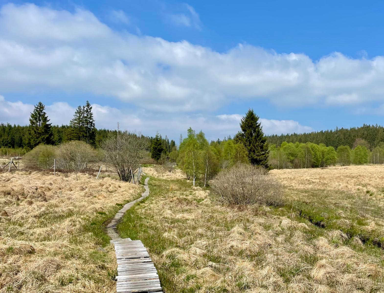
Nature et Histoire à la frontière germano-belge — Chemin du souvenir
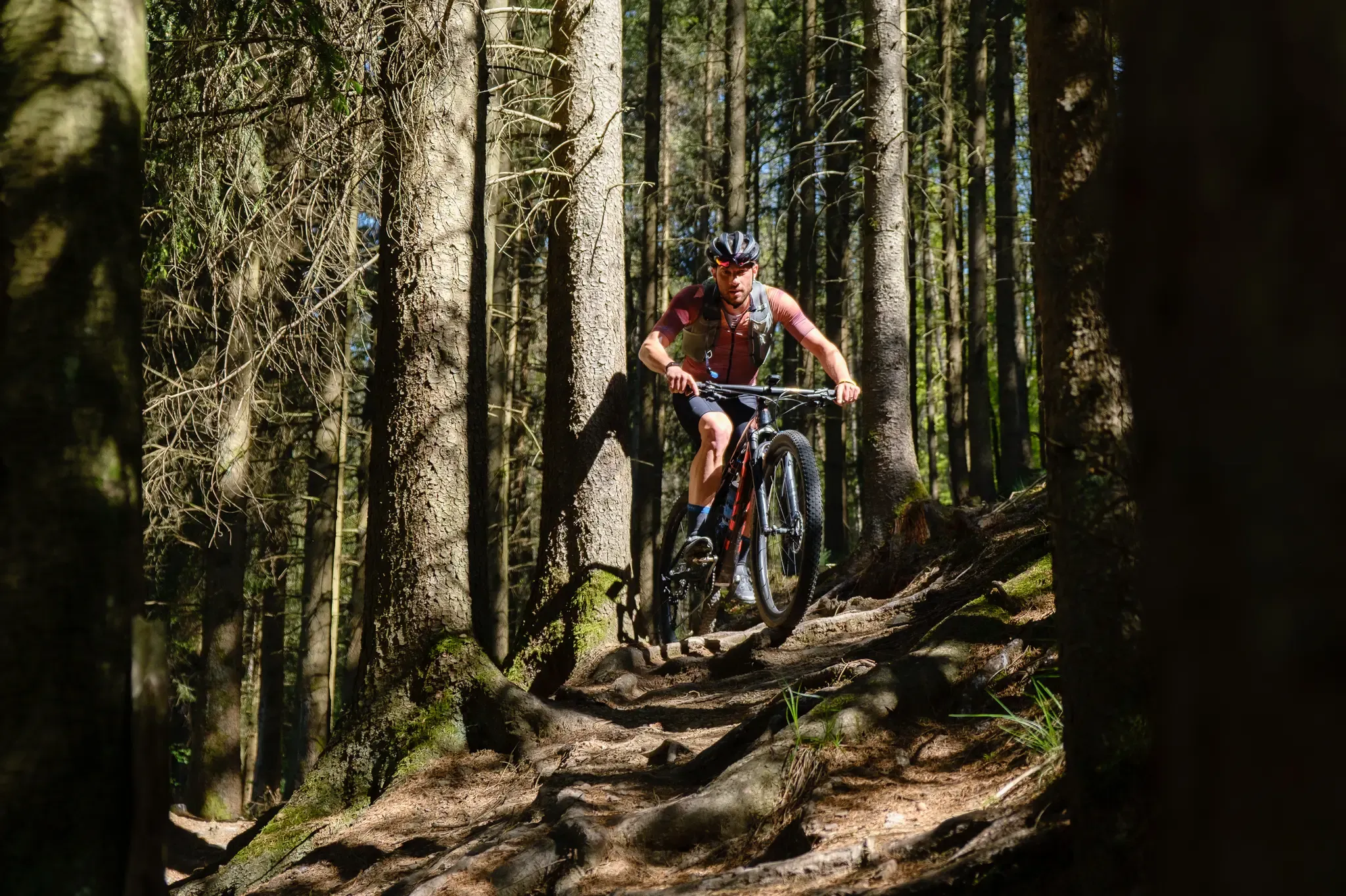
Stoneman Arduenna – old-school mountain biking in East Belgium
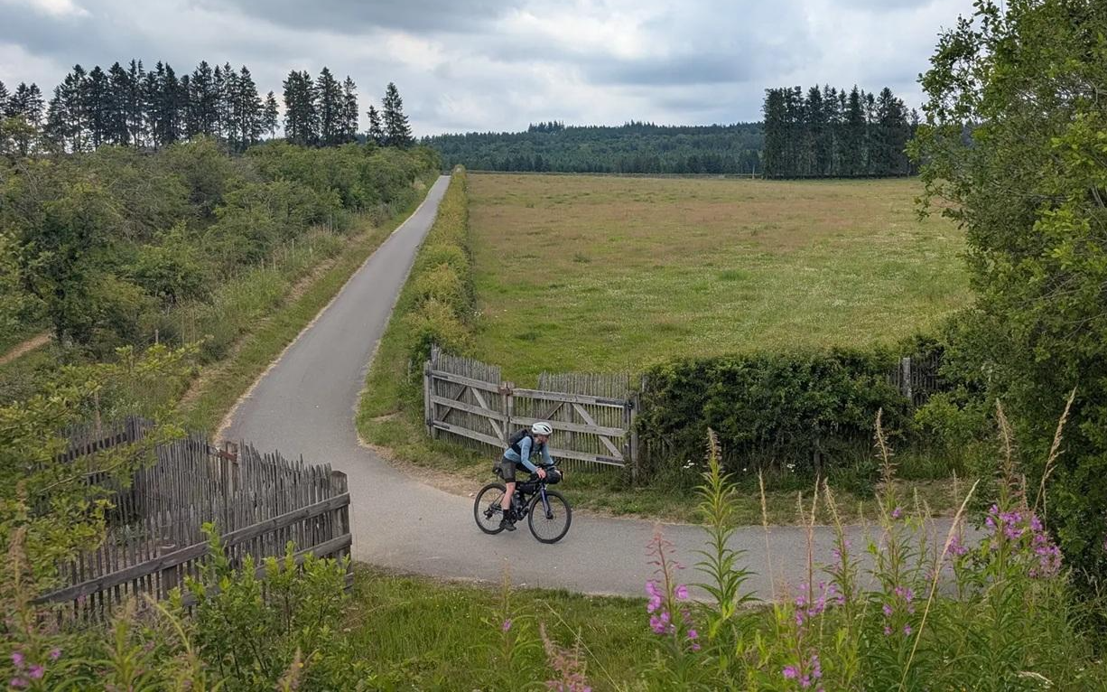
A Vennbahn voyage - bikepacking through three countries in three days
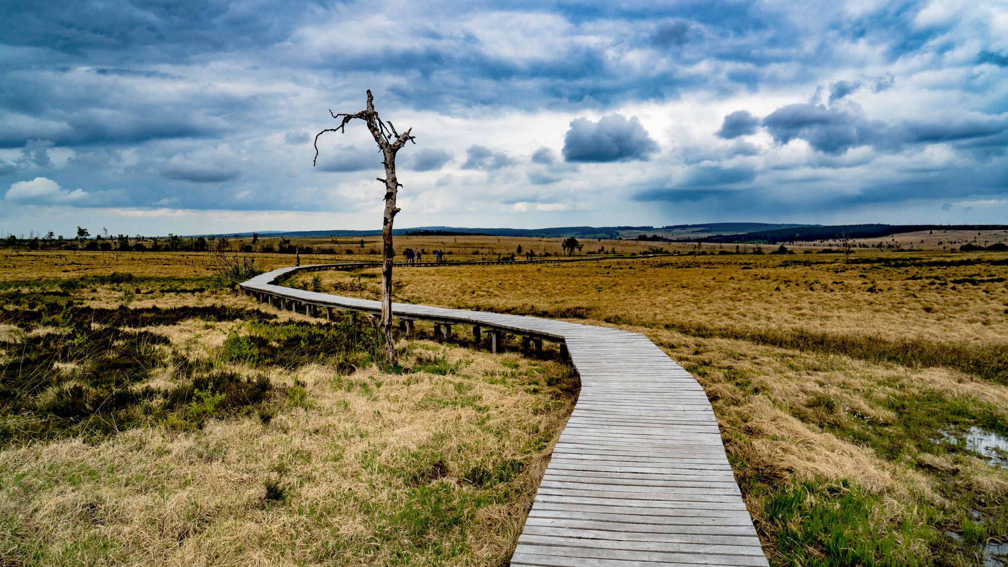
Leisure Tours on enchanted paths – hiking in East Belgium
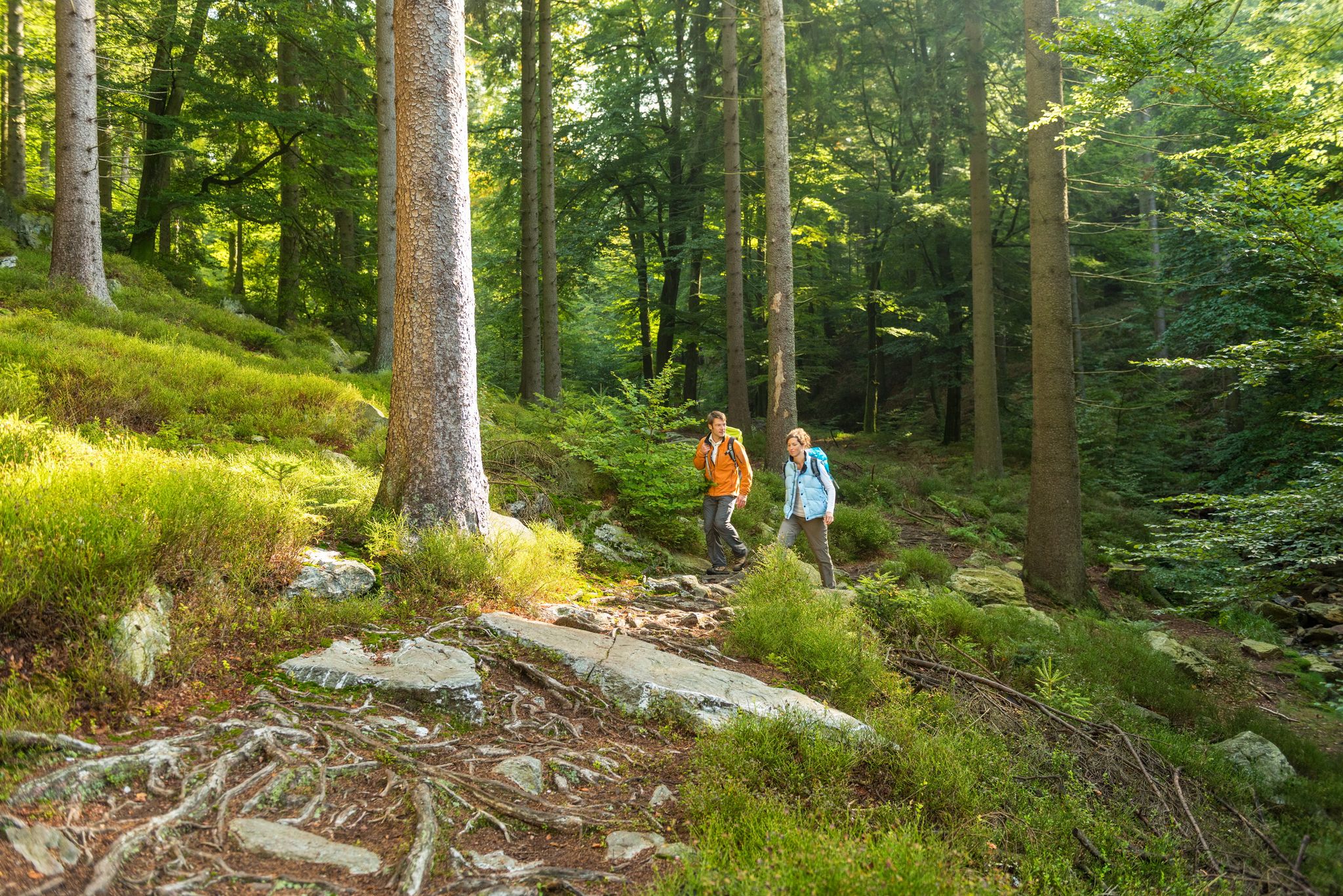
Fantastic regional footpaths — GR hiking paths in East Belgium
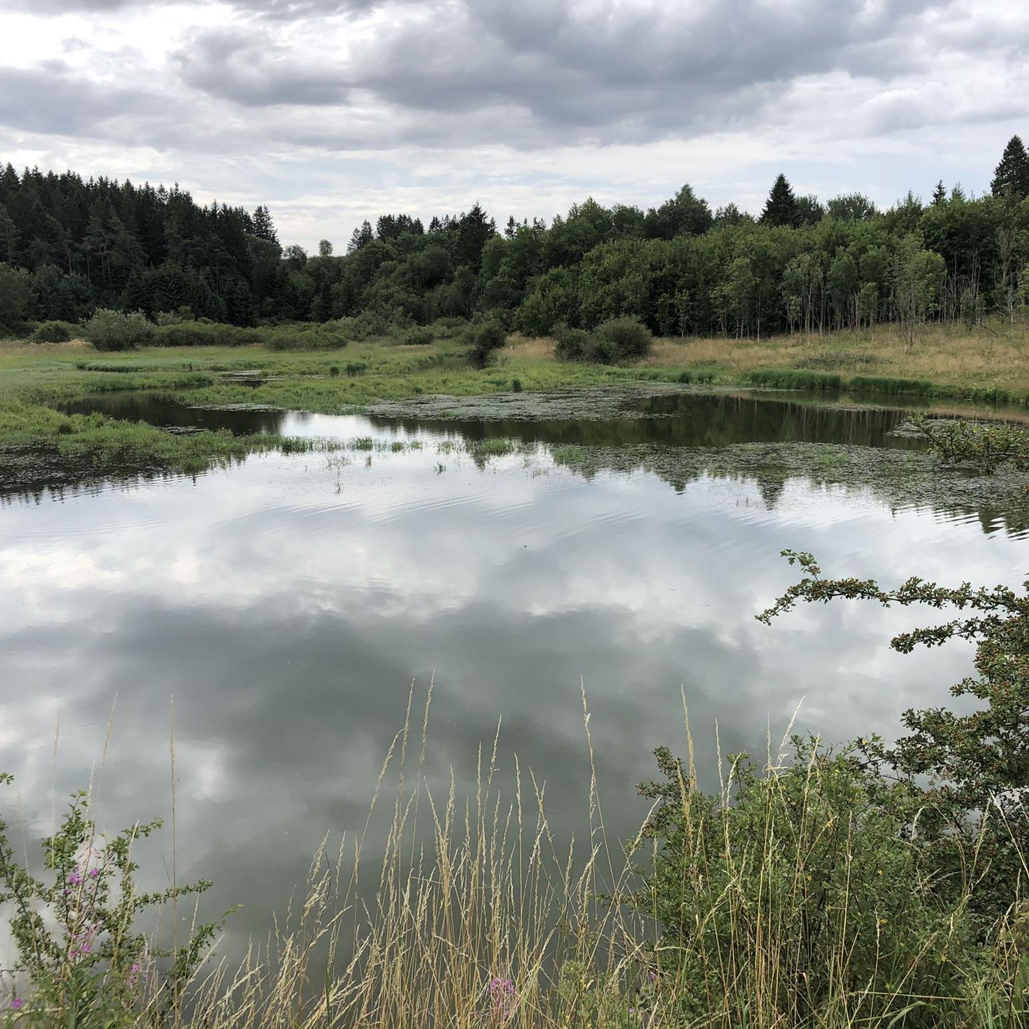
Hiking around Büllingen
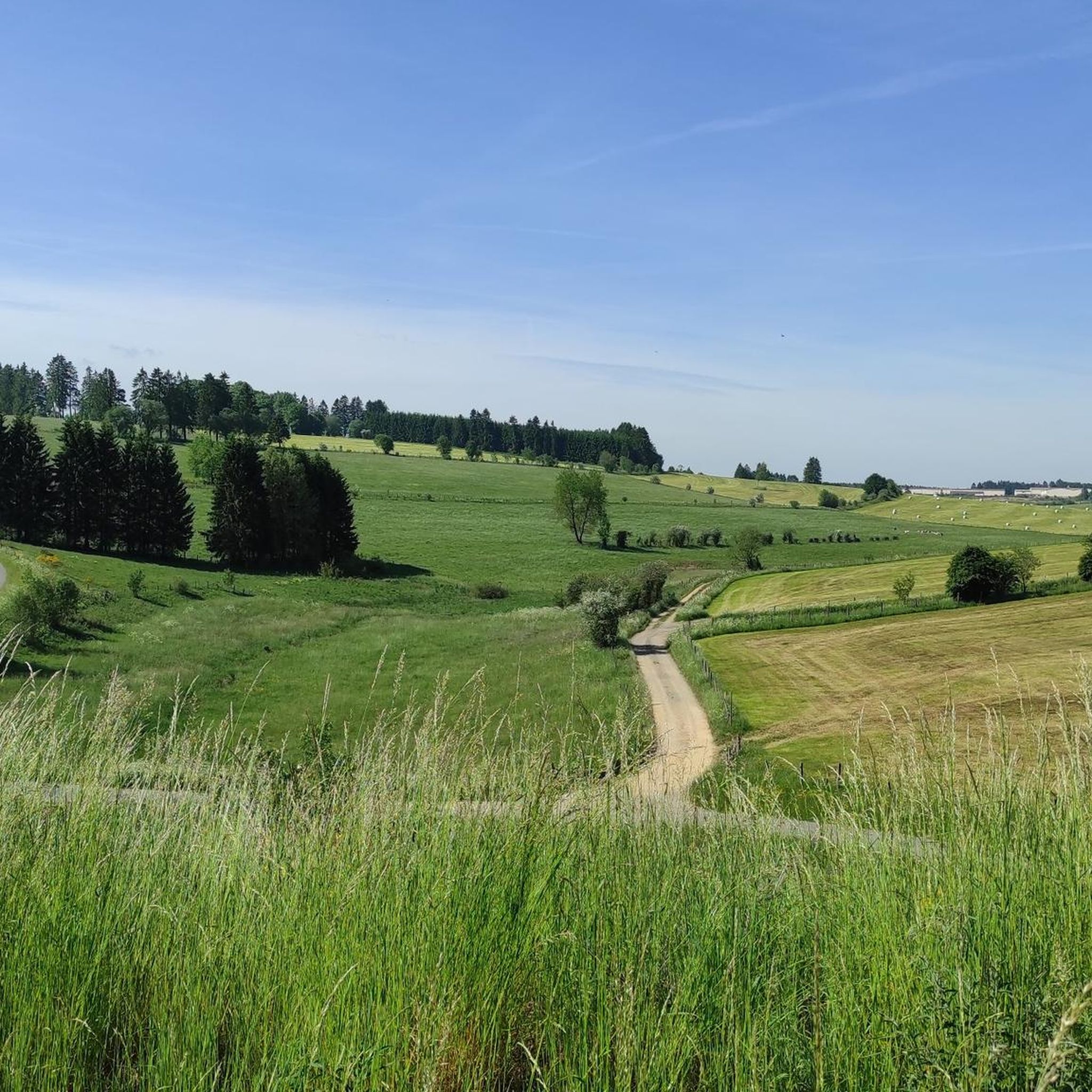
Cycling around Büllingen
Road Cycling Routes around Büllingen
MTB Trails around Büllingen
Running Trails around Büllingen
Other adventures around Büllingen


Tips from the Community

For cyclists, the path might be quite nice, but for hiking, it's rather monotonous
0
0
Ruhiges und ursprüngliches Bachtal. Hier lässt es sich entspannt wandern.
0
0

A really nice section on the Vennbahnradweg
1
0

Directly at Bütgenbach, the river is dammed into the large Bütgenbach reservoir, a popular center for water sports and hikers.
0
0
It's nice to linger here
0
0

Well, the picturesque stream also has a name, and that is Olef. It flows down here from the Zitterwald, where it originates, and flows into the Oleftalsperre. From there it continues, to Gemünd and there into the Urft and then into the Urftsee.
0
0

The Dreiborn Plateau impresses as a vast open landscape covering an area of around 32 km². During the summer months, the flower-rich meadows offer food for plenty of insects, especially butterflies, which tumble over the blossoms. In May, the blooming broom gilds the landscape. From here, you have fantastic panoramic views over the Rureifel. A newly installed XXL bench invites you to sit down, relax, and let the good times roll. A wonderful place to take a breath and linger.
0
0
The Dreiborn Plateau impresses as a vast open landscape with an area of around 32 km². In the summer months, the flower-rich meadows offer food for plenty of insects, especially butterflies, which tumble over the blossoms. In May, the blooming broom gilds the landscape. From here you have fantastic panoramic views over the Rureifel. A newly installed XXL bench invites you to sit here, relax and let the good Lord be a good man. A wonderful place to take a breath and linger.
0
0
Frequently Asked Questions
How many gravel bike trails are available around Büllingen?
There are 29 gravel bike trails around Büllingen. These routes offer a diverse range of experiences, with 12 classified as moderate and 17 as difficult, catering to various skill levels.
What kind of terrain can I expect on gravel bike trails in Büllingen?
Gravel biking in Büllingen offers a varied terrain, typically a mix of asphalt, field roads, and gravel sections winding through dense woodlands. You'll also find converted railway lines like the Vennbahn and RAVeL paths, which provide flatter, easier sections. Some routes include small climbing sections, adding a challenge for riders.
Are there any family-friendly gravel bike routes in the Büllingen area?
While many routes around Büllingen are rated moderate to difficult, the region's converted railway lines, such as the Vennbahn and RAVeL paths, generally offer flatter and easier terrain suitable for families. These paths provide a great way to explore the landscapes without significant elevation challenges.
What natural features or landmarks can I see along the gravel bike trails?
Many trails offer stunning views and pass by significant natural features. You can explore areas around Rock Formation Before the Descent or enjoy the scenic View of Monschau and its castle. The region is also known for the Hautes Fagnes Nature Park, green hills, woodlands, and Lake Bütgenbach.
What do other gravel bikers enjoy most about gravel biking in Büllingen?
The komoot community highly rates the gravel biking experience in Büllingen, with an average score of 4.6 stars from over 170 reviews. Riders often praise the varied terrain, the scenic beauty of the Belgian Ardennes, and the well-maintained paths that wind through dense woodlands and past natural features like the Olef and Bütgenbach Reservoirs.
Are there any circular gravel bike routes around Büllingen?
Yes, many of the gravel routes in Büllingen are designed as loops. For example, the Bütgenbach Reservoir – High Fens loop from Büllingen is a popular 36.6-mile (58.9 km) trail that takes you through the High Fens and around the reservoir. Another option is the Bütgenbach Reservoir – Bütgenbach Dam loop from Parc naturel des Hautes-Fagnes – Eifel, a moderate 23.2-mile (23.2 km) route.
What is the best time of year for gravel biking in Büllingen?
The region's diverse landscapes are enjoyable throughout the year, but spring and autumn are particularly popular. Spring brings the wild daffodils to the Holzwarche Valley, creating 'gigantic paintings of blossoms,' while autumn offers vibrant foliage. Summer is also excellent, though some trails might be busier. Winter can be challenging due to snow, especially in higher elevations like Weisser Stein.
Are there any viewpoints along the gravel bike routes in Büllingen?
Yes, the Büllingen area offers several elevated viewpoints. Locations like the panoramic board in Holzheim provide stunning photographic opportunities. The Bieley Bluff, though requiring a cross-border walk, offers sublime views over the Fens Plateau. Many routes also provide scenic vistas over the rolling green hills and dense woodlands characteristic of the Belgian Ardennes.
Can I find cafes or pubs near the gravel biking routes in Büllingen?
Büllingen and the surrounding villages offer various establishments where you can refuel. While specific cafes along every route aren't listed, the towns and villages you pass through, such as Büllingen itself or nearby Monschau, will have options for refreshments and meals. It's always a good idea to check local listings for opening hours.
Where can I park my car when starting a gravel bike tour in Büllingen?
Parking is generally available in the main towns and villages, including Büllingen and Wirtzfeld, which serve as common starting points for many routes. For example, you could start the Olef Reservoir – View of the Dieter Dam loop from Parc naturel des Hautes-Fagnes – Eifel from the Hautes Fagnes – Eifel Natural Park area, where parking facilities are typically provided for visitors.
Are there any routes that explore the Hautes Fagnes Nature Park?
Yes, the Hautes Fagnes Nature Park is a significant feature of the region, and several gravel routes either pass through or offer views of this expansive area. The Bütgenbach Reservoir – High Fens loop from Büllingen is a prime example, leading you directly through parts of the High Fens, showcasing its diverse landscapes of forests, moors, and lakes.
What is the longest gravel bike route available from Büllingen?
The longest gravel bike route available from Büllingen is the View of the Olef Reservoir – Olef Reservoir loop from Wirtzfeld. This challenging trail spans 57.3 miles (92.2 km) and typically takes around 6 hours and 31 minutes to complete, exploring the scenic Olef Reservoir area with significant elevation gain.
Most popular routes around Büllingen
Most popular attractions around Büllingen

Get inspired with the komoot mobile app


Explore more
Browse the best Gravel rides in other regions.
