The best gravel rides around Calolziocorte
4.2
(122)
1,045
riders
20
rides
Gravel biking around Calolziocorte features a landscape characterized by significant elevation changes, including passes and hills, alongside views of several lakes. The region's terrain offers challenging gravel bike paths, with routes often traversing varied surfaces suitable for advanced gravel bike routes. Riders can expect a mix of ascents and descents, providing a demanding experience for those seeking to explore the area's natural features.
Best gravel bike trails around Calolziocorte
- The most popular gravel bike trail is Lake Segrino – Lake…
Last updated: July 8, 2026
4.3
(50)
310
riders
79.8km
04:51
640m
640m
Hard gravel ride. Very good fitness required. Mostly paved surfaces. Suitable for all skill levels.
4.6
(32)
198
riders
47.9km
03:05
220m
220m
Moderate gravel ride. Good fitness required. Mostly paved surfaces. Suitable for all skill levels.

Sign up for free
5.0
(1)
79
riders
71.5km
05:31
2,230m
2,230m
Hard gravel ride. Very good fitness required. Mostly paved surfaces. Suitable for all skill levels.
46
riders
53.2km
04:15
1,720m
1,720m
Hard gravel ride. Very good fitness required. Mostly paved surfaces. Suitable for all skill levels.
5.0
(4)
30
riders
24.9km
01:32
120m
120m
Easy gravel ride. Great for any fitness level. Mostly paved surfaces. Suitable for all skill levels.
Get access to more routes and recommendations from other explorers.
Sign up for free
Already have an account?
Our route recommendations are based on thousands of hikes, rides, and runs completed by other people on komoot.
Start today with a free account
Your next adventure awaits.
Login or Signup

Other adventures around Calolziocorte

Tips from the Community

The Morterone climb is an iconic and fascinating cycling ascent in the Lecco area, starting from Ballabio and leading to the village of the same name, known for being one of the smallest in Italy. Far from traffic, it unfolds on a narrow road immersed in nature, with manageable gradients but a road surface that is occasionally uneven. Technical Route Data Starting point: Ballabio (reachable from Lecco) Ending point: Morterone (after passing the Forcella di Olino) Length: Approximately 8.5 km (from Ballabio to the Forcella), or approximately 17-20 km starting from the center of Lecco Elevation gain: Approximately 550 m (from Ballabio) Average gradient: Approximately 5% (with maximum sections at 9-10%)
1
0

scenic, nice curves, not tiring, a classic of the area
0
0

The Naviglio della Martesana, initially known as Naviglio Piccolo, is one of the Milanese canals that connects Milan with the course of the Adda river through the municipalities of Martesana. Commissioned in the 15th century by Francesco Sforza, it was used for irrigating the countryside but also represented the ambitious project of connecting Milan with Lake Como and thus with the Alps and Ticino. The Naviglio della Martesana is a place rich in history and beauty, a heritage for everyone that, however, today is still little known and protected. Along the Naviglio runs a rather busy cycle path, which allows you to admire the landscape and cultural beauties, such as the rich flora, fauna, or the numerous historic villas, including the Renaissance Villa Melzi d’Eril in Vaprio d’Adda.
1
0

In Groppello d'Adda, along the Martesana Canal, there is a large waterwheel called "el rudun." It is not a mill, but a noria that was used to raise water for irrigation. It was built in 1618 at the behest of Cardinal Federico Borromeo. It was used to irrigate the vegetable gardens and gardens of the Archbishop's Villa. Tradition attributes the design to Leonardo da Vinci. The water also fed kitchens, washhouses, and livestock watering troughs. The original wheel was dismantled in the late 19th century. The current one is a 1989 reconstruction, restored several times. It has a diameter of 11 meters and eight large blades. Today, it is a historical and educational symbol that tells the story of the area's past.
2
0

The Palio Coast in the upper Imagna Valley is a spectacular spectacle...
0
1

A beautiful climb with very little traffic. Very scenic and beautiful.
0
0
Spectacular view towards the tip of Lake Lecco, Grigna and Resegone
0
0

The beauty of the views will reward you for all your efforts.
0
0
Frequently Asked Questions
What is the general difficulty level of gravel biking trails around Calolziocorte?
Gravel biking around Calolziocorte is primarily suited for experienced riders. The terrain features significant elevation changes, including challenging climbs to mountain passes and hills. Out of 46 available routes, 38 are rated as difficult, with none classified as easy.
Are there any easy or beginner-friendly gravel bike trails in Calolziocorte?
The gravel bike trails in Calolziocorte are generally challenging, designed for experienced riders. There are no routes specifically classified as easy for beginners in this area. Most routes involve substantial elevation gain and varied surfaces.
What kind of scenery can I expect on gravel bike routes near Calolziocorte?
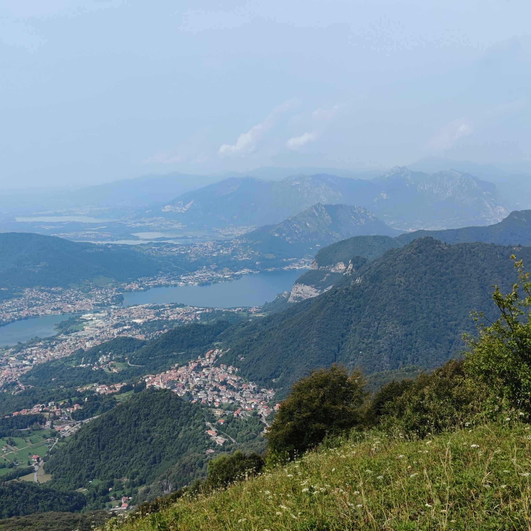
You can expect diverse and scenic views, including several lakes like Lake Garlate and Lake Segrino, as well as panoramic vistas from mountain passes such as Valcava Pass. The routes traverse mountainous terrain, offering a demanding yet rewarding experience.
How long are the gravel cycling routes typically around Calolziocorte?
The gravel cycling routes in Calolziocorte vary in length, generally ranging from moderate to very long distances. For example, the Valcava Pass – Valcava Pass loop from Calolziocorte-Olginate is about 35.9 miles (57.7 km), while the View of Lake Garlate – Artavaggio Plateau loop from Calolziocorte-Olginate extends to 59.9 miles (96.5 km).
Are there any circular gravel bike trails in the Calolziocorte area?
Yes, many of the gravel bike trails around Calolziocorte are designed as loops. This allows you to start and finish at the same point, making logistics easier. Examples include the Lake Segrino – Lake Segrino loop from Airuno and the View of Lake Garlate – Viewpoint (Onno) loop from Brivio.
What are some notable landmarks or attractions I can see along the gravel bike trails?
Along the trails, you might encounter natural highlights such as the Three Beeches of Fuipiano Imagna or enjoy summit views like the Summit cross of Monte Cornizzolo. Historical sites like the San Pietro al Monte Abbey are also accessible in the wider region.
What is the best season for gravel biking in Calolziocorte?
Given the significant elevation changes and mountainous terrain, spring and autumn generally offer the most pleasant conditions for gravel biking in Calolziocorte, with milder temperatures. Summer can be hot, especially at lower elevations, but higher passes might provide cooler air. Winter often brings snow to higher altitudes, making many routes impassable.
Are there options for parking near the gravel bike trails in Calolziocorte?
While specific parking areas are not detailed for every route, starting points for many trails, such as those originating from Calolziocorte-Olginate or Airuno, typically have public parking available in or near the towns. It's advisable to check local parking regulations before your ride.
Can I access gravel bike trails in Calolziocorte using public transport?
Calolziocorte is served by regional train lines, which can provide access to the area. Some starting points for gravel routes may be within cycling distance of train stations. However, direct public transport links to specific trailheads in more remote mountainous areas might be limited, so planning your journey in advance is recommended.
What do other gravel bikers say about the routes in Calolziocorte?
The gravel biking routes in Calolziocorte are highly rated by the komoot community, with an average score of 4.4 stars from over 80 reviews. Riders often praise the challenging climbs, the rewarding panoramic views from mountain passes, and the diverse terrain that makes for a demanding and engaging experience.
Are there any cafes or refreshment stops along the gravel bike routes?
While the routes themselves often traverse natural and mountainous areas, many start or pass through towns and villages where you can find cafes, restaurants, and shops for refreshments. For longer rides, it's always a good idea to carry sufficient water and snacks, especially when venturing into more remote sections.
Most popular routes around Calolziocorte
Most popular attractions around Calolziocorte

Get inspired with the komoot mobile app


Explore more
Browse the best Gravel rides in other regions.
