The best gravel rides around Borgoricco
4.4
(575)
4,322
riders
72
rides
Gravel biking around Borgoricco features a network of routes primarily traversing flat to gently undulating terrain. The landscape is characterized by riverine paths along waterways like the Muson, Brenta, and Tergola, often utilizing dedicated cycle paths. Elevation gains are generally low, making the area suitable for long-distance rides through agricultural and open countryside. The region offers a mix of easy, moderate, and difficult gravel bike trails.
Best gravel bike trails around Borgoricco
- The most popular gravel bike trail is Muson…
Last updated: July 8, 2026
4.6
(61)
350
riders
Moderate gravel ride. Good fitness required. Mostly paved surfaces. Suitable for all skill levels.
4.4
(29)
223
riders
80.8km
04:18
500m
500m
Hard gravel ride. Very good fitness required. Mostly paved surfaces. Suitable for all skill levels.

Sign up for free
4.7
(12)
87
riders
Moderate gravel ride. Good fitness required. Mostly paved surfaces. Suitable for all skill levels.
4.3
(4)
65
riders
Easy gravel ride. Great for any fitness level. Mostly paved surfaces. Suitable for all skill levels.
3.9
(9)
68
riders
Easy gravel ride. Great for any fitness level. Mostly paved surfaces. Suitable for all skill levels.
Get access to more routes and recommendations from other explorers.
Sign up for free
Already have an account?
Our route recommendations are based on thousands of hikes, rides, and runs completed by other people on komoot.
Start today with a free account
Your next adventure awaits.
Login or Signup
Tips from the Community

Immersed in the Trevigiano countryside, a short distance from Castelfranco Veneto, Villa Caprera is a splendid historic residence that perfectly embodies the charm and elegance of historic Venetian homes. Surrounded by a centuries-old park meticulously cared for, the villa stands out for its refined architecture and evocative interiors, where large frescoed halls tell stories of nobility and hospitality. This exceptional setting makes it one of the most sought-after locations in the area for organizing weddings, private events, and prestigious corporate meetings. The outdoor spaces, with tree-lined paths and picturesque views, offer a romantic and versatile backdrop, ideal for outdoor receptions and unforgettable photo shoots. Villa Caprera masterfully combines the tranquility of nature and historical prestige, guaranteeing a magical atmosphere and an exclusive experience just a stone's throw from the main cultural centers of the Veneto region.
0
0
The former Badoere-Levada station is a fundamental stop on the Ostiglia-Treviso Cycle Route, located at a point where railway history meets one of the most unique architectures in the Veneto region. The structure reflects the typical style of the stations on the line, originally designed for strategic and commercial purposes, and today converted to welcome the flow of cycle tourists crossing the plain. A short distance from the route lies the famous Rotonda di Badoere, one of the most spectacular barchesse (rural mansions) in the region, which with its circular shape embraces the public space. The proximity between the former railway line and this eighteenth-century masterpiece makes the Badoere-Levada stop a perfect blend of the recovery of twentieth-century infrastructure and the enhancement of rural historical heritage.
2
0

The "Cammino di Sant'Antonio" cycle path connects Padua to the Treviso-Ostiglia cycle path.
0
0
The old Badoere railway station on the Treviso-Ostiglia cycle path.
1
0
The first section of the Treviso-Ostiglia cycle path entering the province of Padua.
0
0
The Treviso-Ostiglia cycle path is an exceptional example of railway reconversion, born on the route of a 20th-century military line. With its approximately 118 kilometers, it crosses the Veneto region up to Lombardy, offering a flat path immersed in greenery. The route allows you to cycle in complete safety away from cars, passing from the Sile Park to the vast expanses of the Po Valley. The charm of the journey is enhanced by the old stations and railway houses that dot the way, witnesses of an industrial past perfectly integrated into nature. Thanks to its well-maintained surface, it is an ideal destination for families and cycle tourists who wish to discover historic villages and river oases, concluding the itinerary at the gates of Mantua, on the banks of the Po River.
2
0
The Treviso-Ostiglia cycle path is an exceptional example of railway reconversion, born on the track of a 20th-century military line. With its approximately 118 kilometers, it crosses the Veneto region to Lombardy, offering a flat route immersed in greenery. The route allows you to cycle in complete safety away from cars, passing from the Parco del Sile to the vast expanses of the Po Valley. The charm of the journey is enhanced by the old stations and railway houses that dot the path, witnesses of an industrial past perfectly integrated into nature. Thanks to its well-maintained surface, it is an ideal destination for families and cycle tourists who wish to discover historic villages and river oases, concluding the itinerary at the gates of Mantua, on the banks of the Po.
1
0

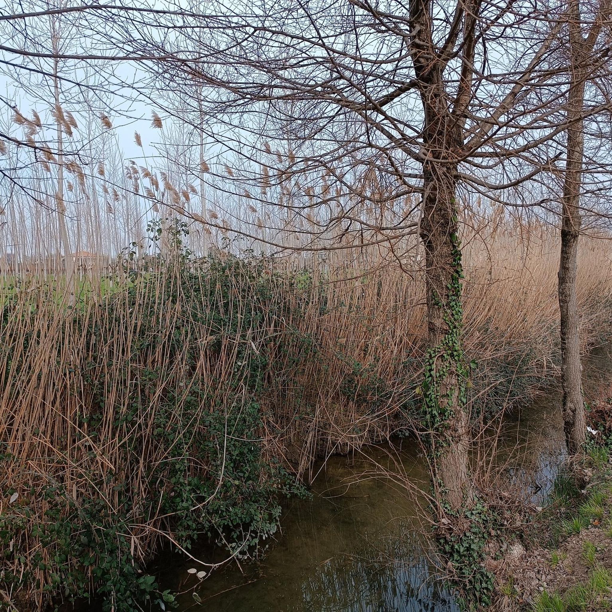
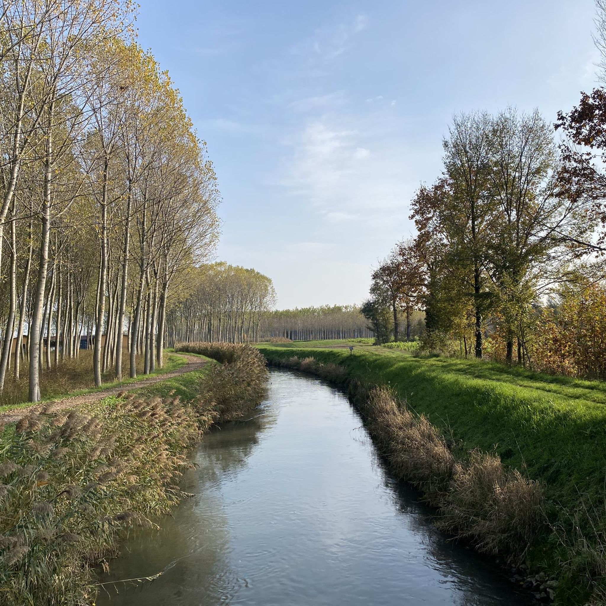
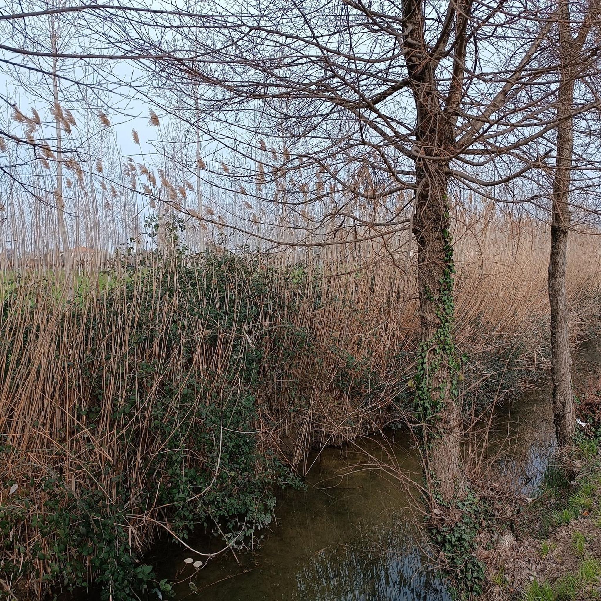
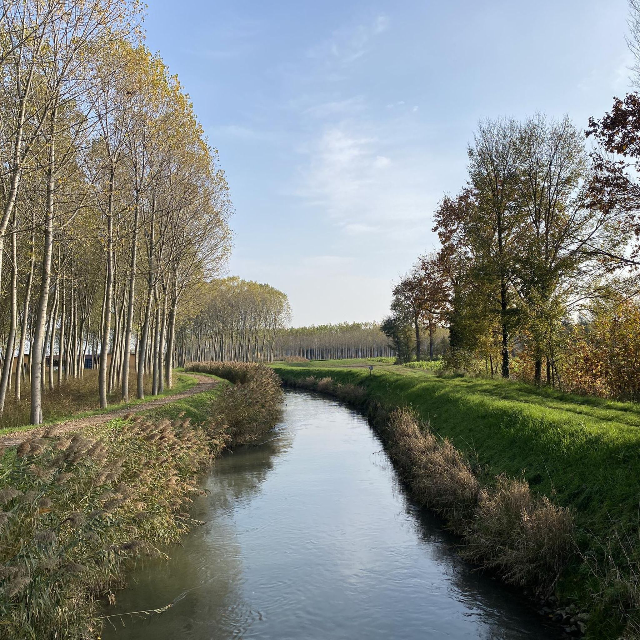
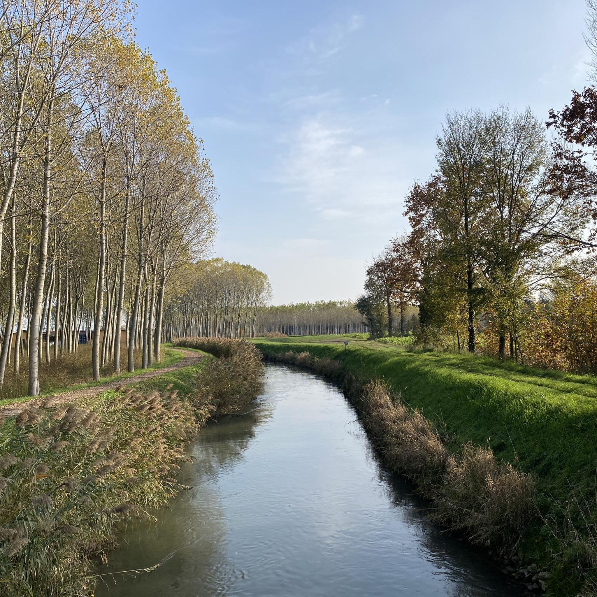
Great track, easily rideable, following the course of the Muson dei Sassi
0
0
Frequently Asked Questions
What is the general terrain like for gravel biking around Borgoricco?
The terrain around Borgoricco is predominantly flat to gently undulating, characterized by extensive riverine paths along waterways such as the Muson, Brenta, and Tergola. You'll primarily ride through agricultural areas and open countryside, often utilizing dedicated cycle paths. Elevation gains are generally low, making it ideal for long-distance rides.
Are there gravel bike trails suitable for beginners in Borgoricco?
Yes, Borgoricco offers several easy gravel bike trails perfect for beginners. For instance, the Tergola Route – Tergola River loop from Campodarsego is an easy 19.3 km (12 miles) route that follows the Tergola River, providing a gentle introduction to gravel biking in the region.
What are some longer or more challenging gravel routes near Borgoricco?
For those seeking a more challenging ride, Borgoricco has several difficult routes. The Villa Contarini – Brenta River Cycle Path loop from Campodarsego is a demanding 105.9 km (65.8 miles) trail that takes you through river valleys and open countryside. Another difficult option is the Brenta Cycle Bridge – Podere Creola Vecchia loop from Campodarsego, covering 66.9 km (41.6 miles) with extensive views.
Are there any circular gravel bike routes in the Borgoricco area?
Many of the gravel bike trails around Borgoricco are designed as loops, offering convenient circular routes. An example is the moderate Muson dei Sassi Cycle Path – Cyclopedestrian Bridge over the Muson loop from Campodarsego, a 38.8 km (24.1 miles) trail that follows a scenic cycle path along the Muson river.
What kind of attractions or landmarks can I see along the gravel bike trails?
The region around Borgoricco is rich in historical and natural points of interest. Along your rides, you might encounter structures like the Brenta Cycle Bridge or explore parts of the Ostiglia-Treviso Cycle Path. For historical sights, consider visiting nearby castles such as Stigliano Castle or the Tempesta Fortress in Noale.
How many gravel bike trails are available in Borgoricco?
Borgoricco offers a wide selection of gravel bike trails, with over 130 routes available. These routes cater to various skill levels, including approximately 27 easy, 68 moderate, and 43 difficult options.
What do other gravel bikers say about the trails in Borgoricco?
The gravel biking experience in Borgoricco is highly regarded by the komoot community, with an average rating of 4.4 stars from over 800 reviews. Riders often praise the extensive riverine paths, the peaceful agricultural landscapes, and the well-maintained dedicated cycle networks that make for enjoyable long-distance rides.
Are there any gravel routes that pass by cafes or refreshment points?
While specific cafes on every route aren't detailed, the region's network of cycle paths often includes or passes near amenities. For example, the Ostiglia Refreshment Kiosk is a known spot along the Ostiglia-Treviso Cycle Path, which is accessible from some routes in the broader area.
What is the best time of year for gravel biking in Borgoricco?
The flat terrain and generally mild climate of the Veneto region make Borgoricco suitable for gravel biking for much of the year. Spring and autumn offer pleasant temperatures and beautiful scenery, while summer can be warm but still enjoyable, especially along shaded river paths. Winter rides are also possible, though conditions may vary.
What kind of surfaces can I expect on Borgoricco's gravel bike trails?
You can expect a mix of surfaces typical for gravel biking in the region. This primarily includes well-maintained gravel paths, compacted dirt roads, and dedicated asphalt cycle paths, especially along the riverbanks. The routes are designed to be suitable for gravel bikes, offering a smooth yet varied riding experience.
Are there any routes that are particularly good for spotting wildlife?
The riverine paths and agricultural landscapes around Borgoricco provide opportunities for wildlife spotting, particularly birds. Riding along the Muson, Brenta, or Tergola rivers, such as on the Cyclopedestrian Bridge over the Muson – Via delle Risorgive loop from Massanzago, can offer glimpses of local fauna in their natural habitats.
Most popular routes around Borgoricco
Most popular attractions around Borgoricco

Get inspired with the komoot mobile app


Explore more
Browse the best Gravel rides in other regions.
