The best gravel rides around Hône
4.6
(10)
59
riders
12
rides
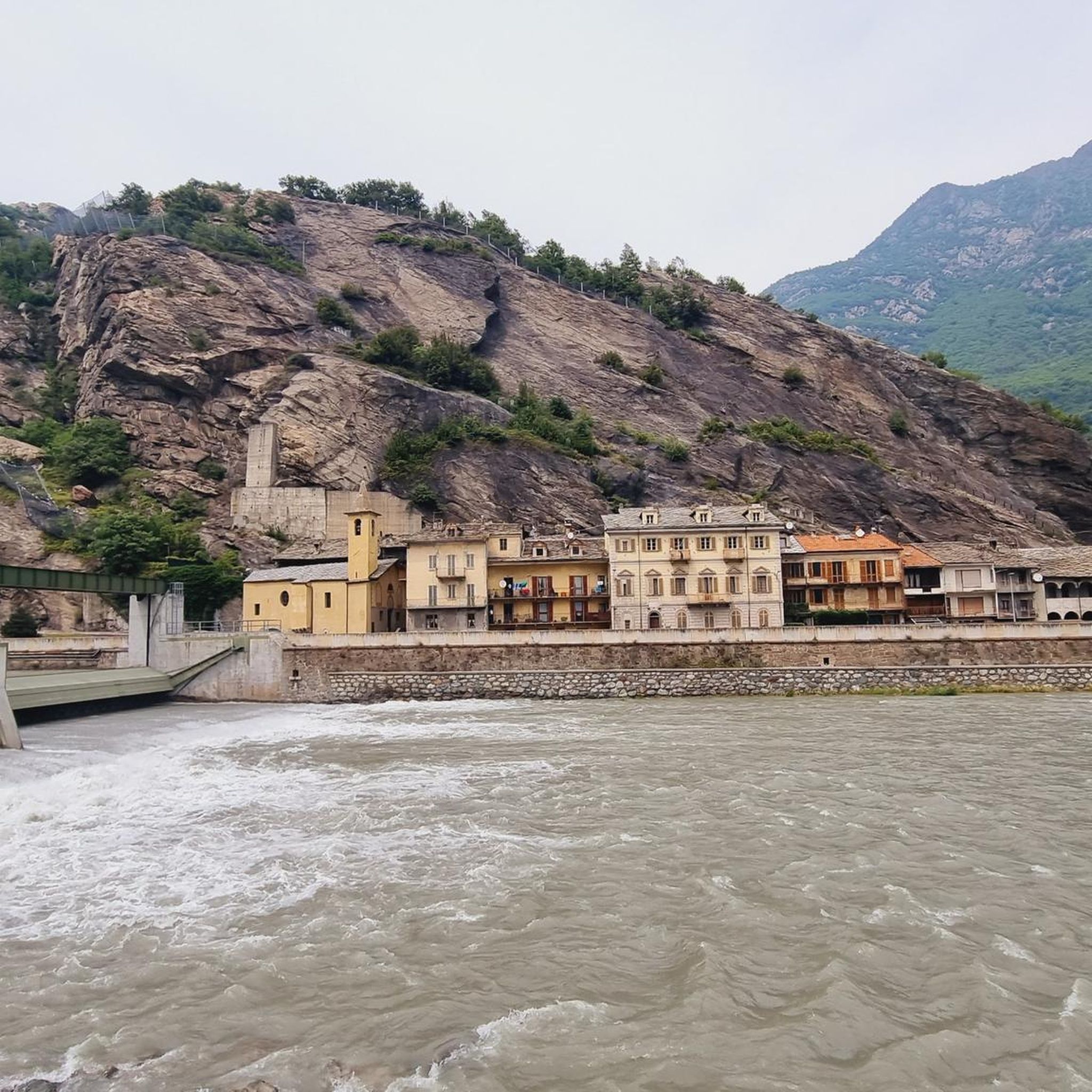
Gravel biking around Hône offers access to varied terrain at the entrance of the Champorcher Valley in Italy's Aosta Valley. The region is characterized by alpine surroundings, including the Dora Baltea River and Ayasse Stream, with a backdrop of vineyards, rocky cliffs, and surrounding mountains. This landscape provides a diverse environment for gravel biking, ranging from valley floors to challenging alpine ascents. The area features a mix of natural beauty and historical elements, such as the nearby Fort Bard.
Best…
Last updated: July 4, 2026
23.0km
04:40
1,920m
110m
Hard gravel ride. Very good fitness required. You may need to push your bike for some segments of this route.
25.0km
02:25
830m
830m
Hard gravel ride. Very good fitness required. Mostly paved surfaces. Suitable for all skill levels.

Sign up for free
16
riders
27.9km
03:10
1,200m
1,200m
Hard gravel ride. Very good fitness required. Mostly paved surfaces. Suitable for all skill levels.
11
riders
Moderate gravel ride. Good fitness required. Mostly paved surfaces. Suitable for all skill levels.
4.9
(7)
9
riders
69.0km
05:49
2,320m
2,320m
Hard gravel ride. Very good fitness required. Mostly paved surfaces. Suitable for all skill levels.
Get access to more routes and recommendations from other explorers.
Sign up for free
Already have an account?
Our route recommendations are based on thousands of hikes, rides, and runs completed by other people on komoot.
Start today with a free account
Your next adventure awaits.
Login or Signup
Tips from the Community


The stone bridge of Lillianes, completed in 1733, represents a hydraulic work of exceptional value for the Lys Valley, being the only historic bridge in the region structured on four round arches. The choice of this configuration, supported by robust piers equipped with cut-water spurs, was dictated by the need to span a section of the Lys stream particularly subject to violent floods. The roadway, made with a characteristic donkey-back shape in local stone, hosts a votive shrine dedicated to Saint Roch in the center, historically placed to protect travelers against pestilences. A relevant anecdote concerns the complex financing of the work: the local community, in order not to depend exclusively on central subsidies, chose to heavily tax themselves through the "taglioni" system, a form of mandatory contribution based on land ownership. It is said that the families of the village contributed not only with money but also by providing labor and materials, as the bridge was considered vital for the economy linked to the chestnut trade and transhumance. Another curious detail concerns its incredible resistance: during past floods, while other wooden or lighter structures were swept away, the bridge of Lillianes remained intact, consolidating its fame as an indestructible monument and a symbol of unity for the entire valley population.
0
0

The Arlaz Waterfall can be reached either from the Col d'Arlaz or from the Orbeillaz car park, following path number 31 which runs alongside the Rû d’Arlaz, a 14th-century artificial canal that channels the water of the Evançon stream and carries it to the municipalities of Challand, Emarese and Montjovet.
0
0
From this point, you can enjoy a splendid view of Verrès Castle, an imposing 14th-century medieval fortress that dominates the valley and adds a fascinating historical touch to the surrounding landscape. Built by the Challant family for defensive and residential purposes, it is today one of the best-preserved medieval castles in the region.
2
0
The Champrocher Royal Road is a charming historical route commissioned in the 18th century by the House of Savoy. It connected the valley floor with the hunting lodges, facilitating the travel of the nobility and their entourage. Today, it is a beautiful path immersed in greenery, with stone sections and splendid panoramic views of the valley.
2
0

Splendid alpine lake above Champorcher passing by the Dondena refuge
0
0

An ancient cemetery dating back to the Napoleonic era, abandoned in the 1940s. https://fondoambiente.it/luoghi/cimitero-del-fiorentino?ldc
0
0

Like every year, a mountain bike ride to Lake Miserin...a mystical place...what more can I say?
0
0
Frequently Asked Questions
What kind of terrain can I expect on gravel bike trails around Hône?
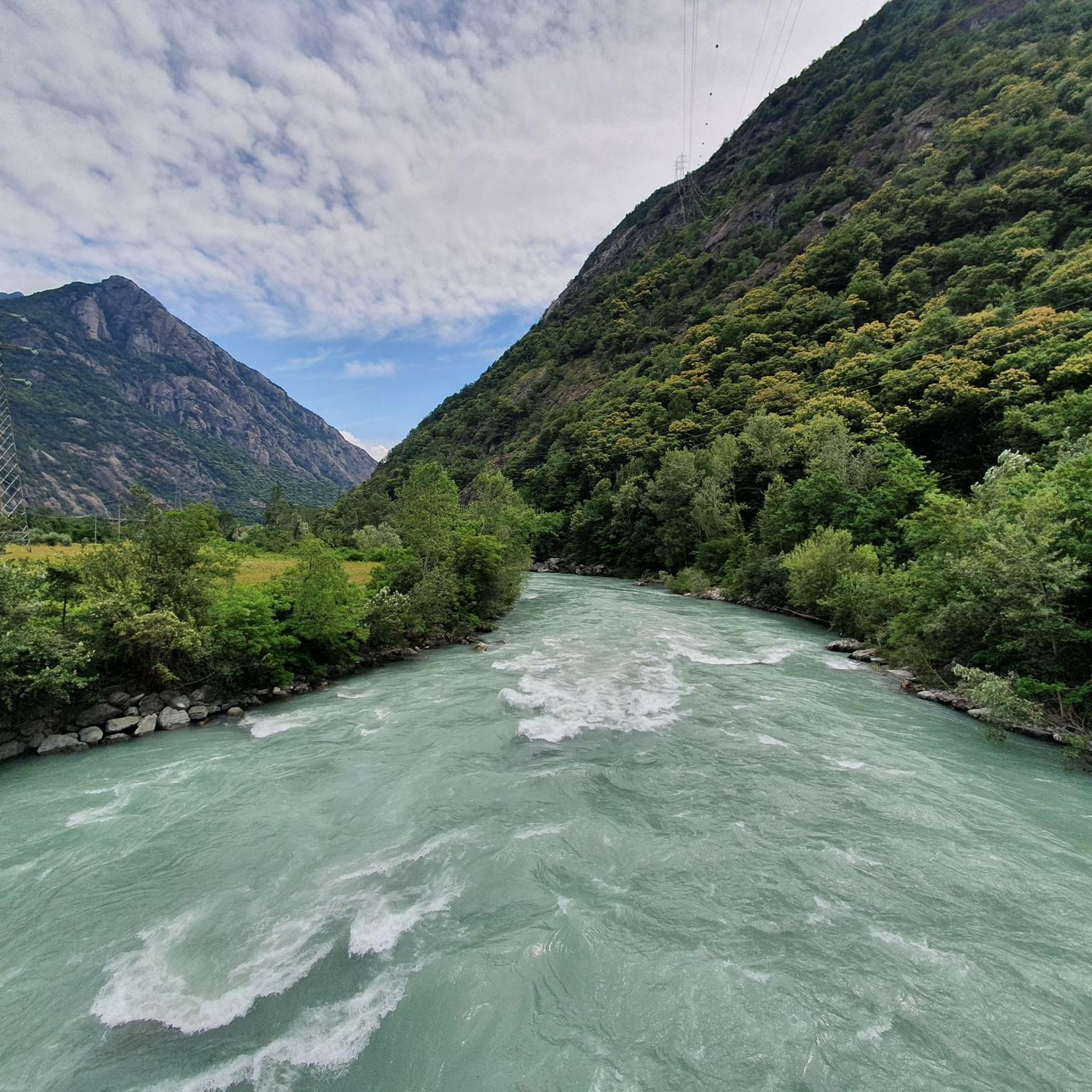
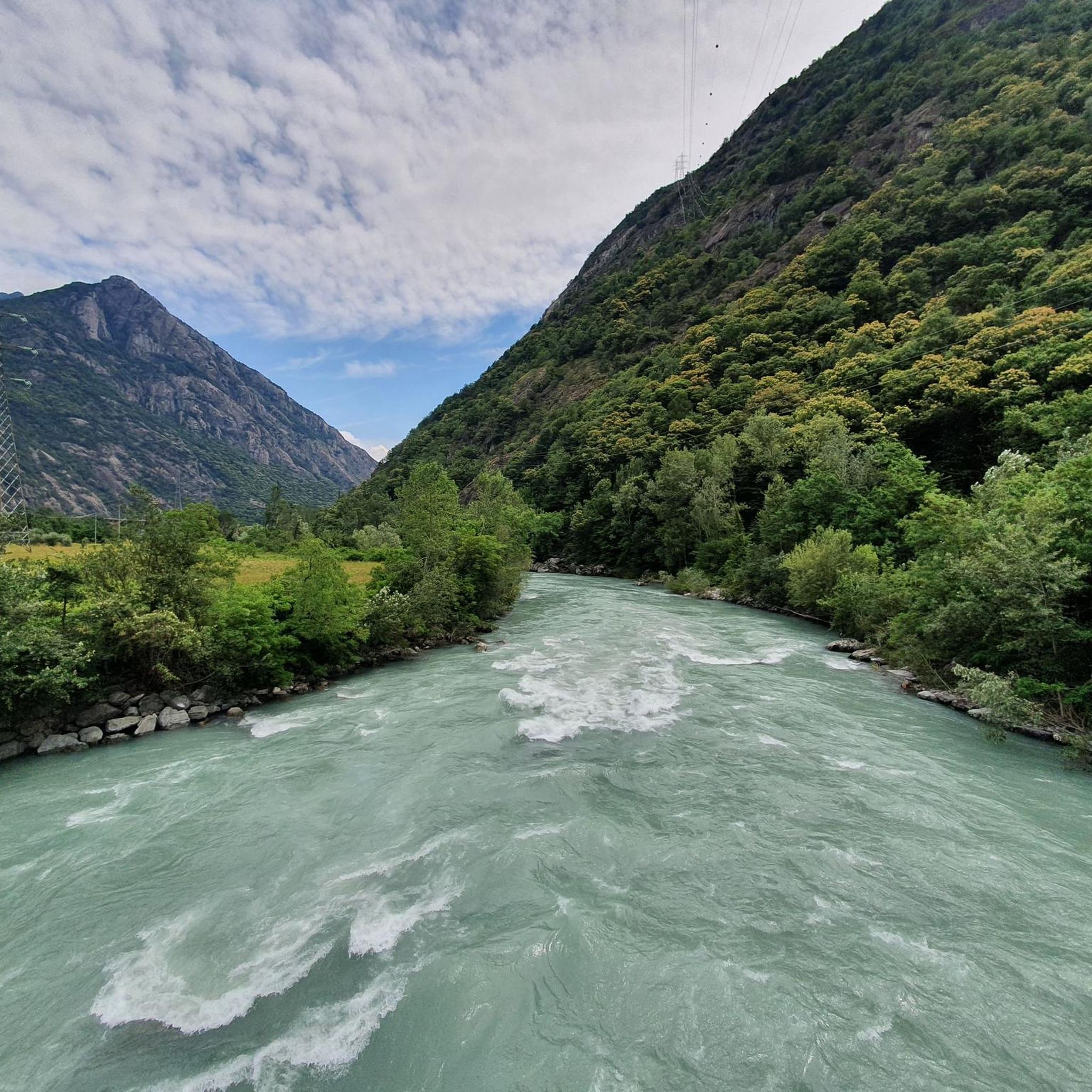
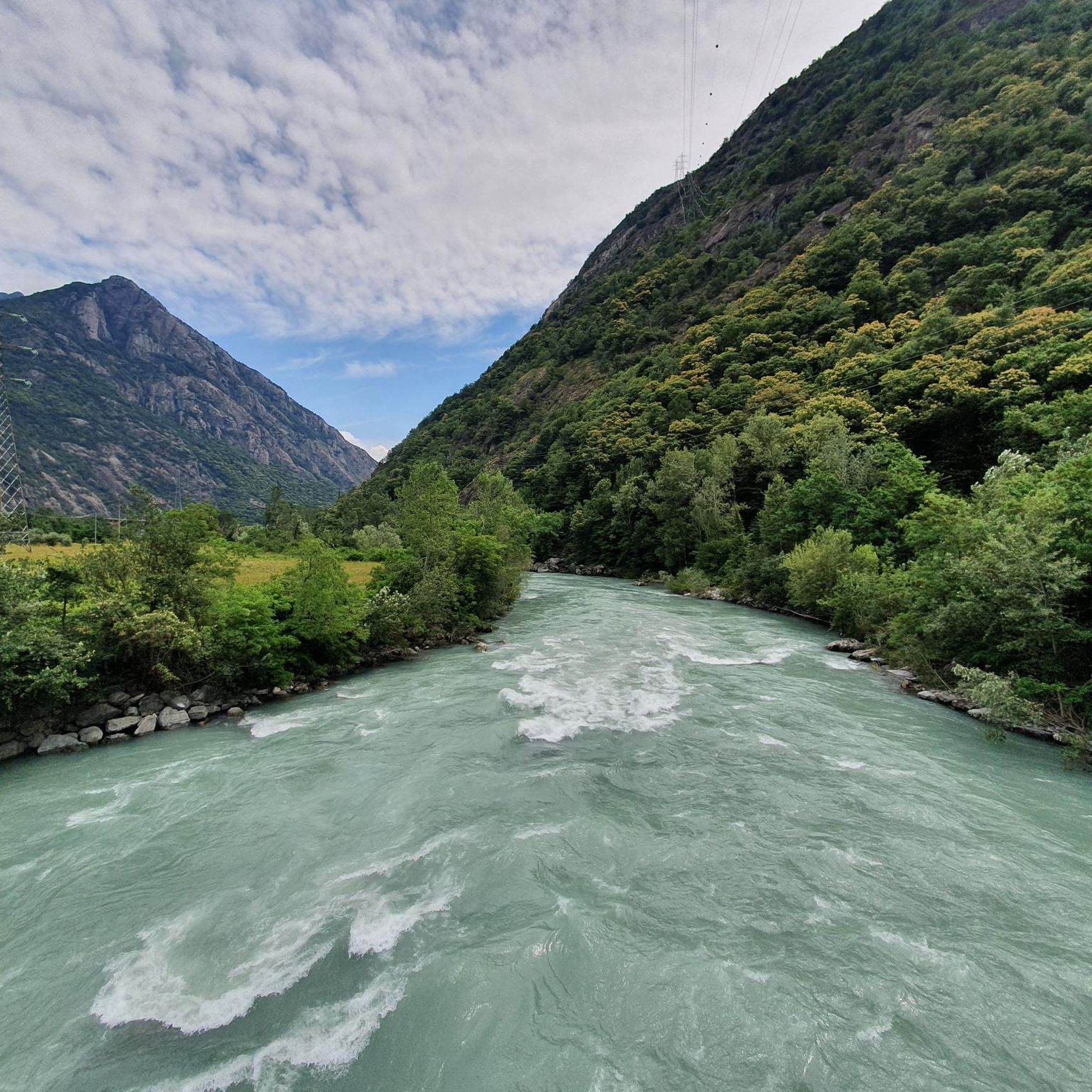
Gravel biking around Hône offers a diverse range of terrain, from valley floors along the Dora Baltea River and Ayasse Stream to challenging alpine ascents. You'll encounter wild landscapes, vineyards, rocky cliffs, and extensive forests, especially as you venture into the Champorcher Valley.
Are there any easy or beginner-friendly gravel bike trails in Hône?
The gravel trails around Hône are generally considered moderate to difficult, with 14 out of 15 routes rated as difficult. However, the Fort Bard – Fort Bard loop from Bard is a moderate option, offering a 35.9 km ride through historic areas and along the Dora Baltea River, suitable for those looking for a less strenuous experience.
What are the typical distances and durations for gravel bike routes near Hône?
The routes vary significantly in length and time. For example, the Valle di Champorcher Cycle Route is about 23 km and can take around 4 hours 39 minutes due to its significant elevation gain. Longer routes like the Lake Viverone – Lake Viverone loop from Pont-Saint-Martin stretch to nearly 90 km, requiring a full day of riding.
What natural features or landmarks can I see along the gravel bike trails?
Many trails offer stunning views of the alpine scenery, including the Dora Baltea River and the wild Champorcher Valley. You can also explore historical sites like Fort Bard, or natural attractions such as Lake Muffé and Lake Santanel. The Mont Avic Regional Nature Park, partly in the upper Champorcher Valley, features extensive forests and numerous alpine lakes.
Are there any circular gravel bike routes available around Hône?
Yes, several routes are designed as loops. Popular options include the challenging Col d'Arlaz loop, which covers 25 km with extensive alpine views, and the moderate Fort Bard – Fort Bard loop from Bard, which is about 36 km.
What is the best time of year for gravel biking in Hône?
The Aosta Valley, where Hône is located, is best for gravel biking during the warmer months, typically from late spring to early autumn. This period offers more stable weather conditions and ensures that higher alpine passes are clear of snow, providing access to the full network of trails.
What do other gravel bikers say about the trails in Hône?
The gravel biking routes around Hône are highly rated by the komoot community, with an average score of 4.6 stars from over 10 reviews. Many visitors praise the wild landscapes of the Champorcher Valley and the challenging alpine climbs that offer rewarding views of the surrounding area.
Can I find places to eat or stay near the gravel bike trails in Hône?
Hône itself is a small alpine village with a historic center, offering local amenities. The wider Aosta Valley region provides various options for cafes, pubs, and accommodation, especially in larger towns or villages along popular cycling routes. You'll find places to refuel and rest after your rides.
Are there any family-friendly activities or paths near Hône besides gravel biking?
Yes, Hône and its surroundings offer several family-friendly options. Beyond cycling, you can explore scenic paths along the Ayasse stream or try the 'fun-learning' itineraries like the Serre-de-Biel path and the Eight Sisters path, which are designed to engage families with the local environment and culture.
Where can I park my car when starting a gravel bike tour in Hône?
While specific parking areas for each trail are not detailed, Hône, as a starting point for many routes into the Champorcher Valley, typically offers public parking options within the village. It's advisable to check local signage upon arrival for designated parking zones.
Are there any options for public transport to reach the gravel biking areas around Hône?
Hône is situated in the Aosta Valley, which has a regional public transport network. While direct transport to every trailhead might not be available, you can often reach Hône or nearby towns by bus or train, and then cycle to your desired starting point. For broader regional context, you can explore the diverse landscapes of the Aosta Valley at italia.it.
What other outdoor activities are popular in the Hône area?
Beyond gravel biking, the Hône area and the wider Aosta Valley are hubs for outdoor adventure. You can enjoy hiking, rock climbing at the Placche di Oriana, rafting on the Dora Baltea River, or canyoning in torrents like Chalamy. The Mont Avic Regional Nature Park also offers extensive opportunities for nature exploration.
Most popular attractions around Hône

Get inspired with the komoot mobile app


Explore more
Browse the best Gravel rides in other regions.
