The best gravel rides around Claviere
4.9
(69)
844
riders
29
rides
Gravel biking around Claviere offers access to high-altitude alpine terrain and extensive forest trails. The region is characterized by significant elevation changes, connecting mountain passes and alpine villages. Riders can expect a mix of challenging gravel cycling paths through wooded areas and open mountain landscapes. The area provides routes that traverse both valleys and higher elevations, suitable for those seeking demanding rides.
Best gravel bike trails around Claviere
- The most popular gravel bike trail is Panoramic tour in the park…
Last updated: October 8, 2026
2
riders
91.3km
10:45
3,090m
3,090m
Hard gravel ride. Very good fitness required. You may need to push your bike for some segments of this route.
4.8
(4)
77
riders
52.7km
04:33
1,710m
1,710m
Hard gravel ride. Very good fitness required. Mostly paved surfaces. Suitable for all skill levels.

4.8
(4)
42
riders
39.9km
03:47
1,360m
1,360m
Hard gravel ride. Very good fitness required. Mostly paved surfaces. Suitable for all skill levels.
5.0
(2)
22
riders
35.9km
03:09
1,150m
1,150m
Hard gravel ride. Very good fitness required. Mostly paved surfaces. Suitable for all skill levels.
16
riders
22.9km
01:54
740m
750m
Hard gravel ride. Very good fitness required. Mostly paved surfaces. Suitable for all skill levels.
Get access to more routes and recommendations from other explorers.
Already have an account?
Our route recommendations are based on thousands of hikes, rides, and runs completed by other people on komoot.
Start today with a free account
Your next adventure awaits.

Other adventures around Claviere

Tips from the Community

The Forte del Gran Serin or Batteria del Gran Serin is a fortification built towards the end of the 19th century to defend the northwestern borders, located along the Assietta road near the Colle dell'Assietta. The battery develops in length straddling over 2,600 meters in altitude, offering artillery positions, barracks including stables for a total that could reach 850 soldiers and a powder magazine, all protected by a long wall. The position covered with its fire from the top of the Assietta to the Gran Costa mountain, covering the Galambra valley, the Niblè, the Quattro Denti peak and the lower Val Cenischia. To date, the structure is in ruins and part of the wall is missing.
0
0

Next to the dirt road, this barracks, abandoned for years, is clearly visible. It is located shortly before the Black Lake.
0
0
Small location with a mountain pasture, restaurant, and above all, plenty of parking available to start some hikes in the area
0
0
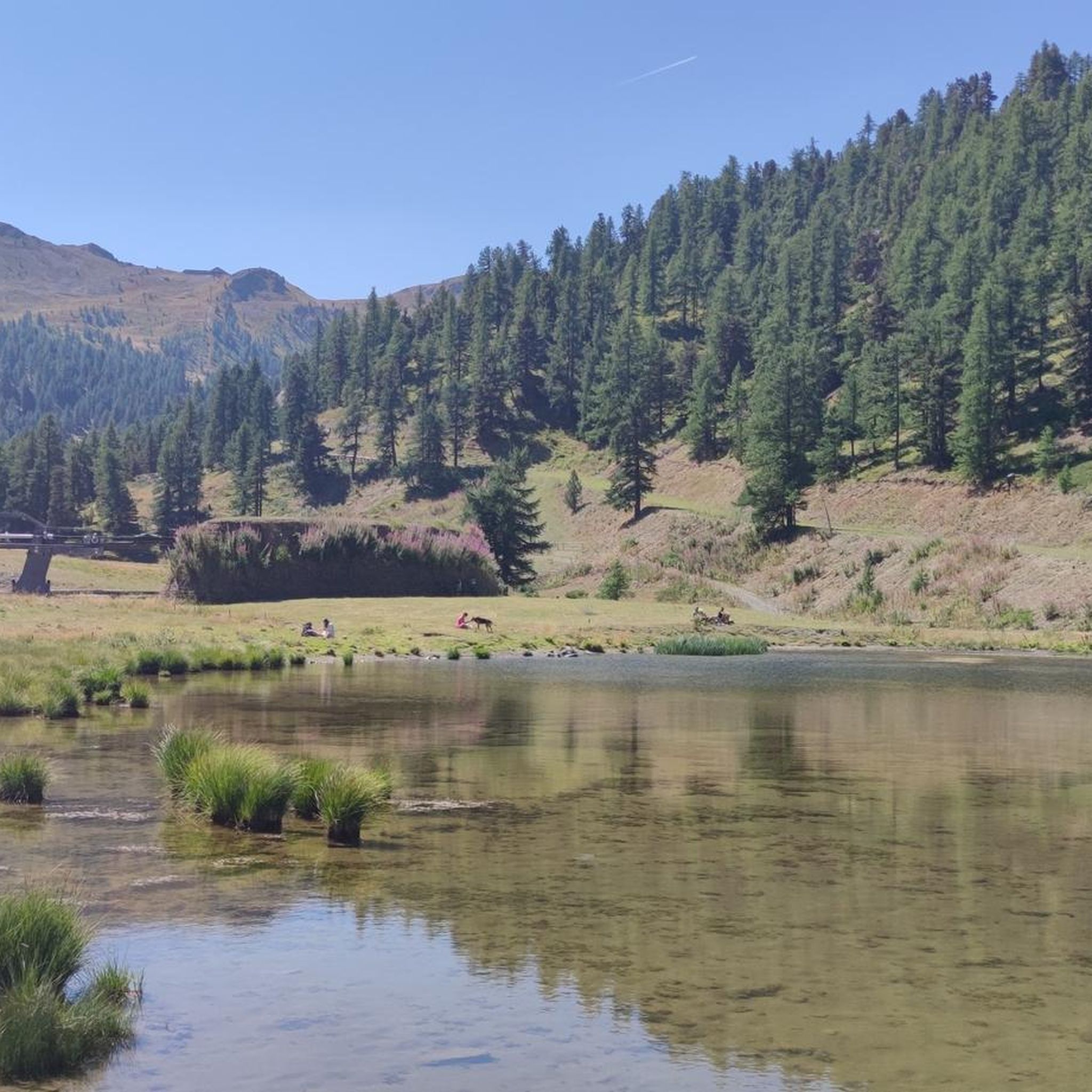
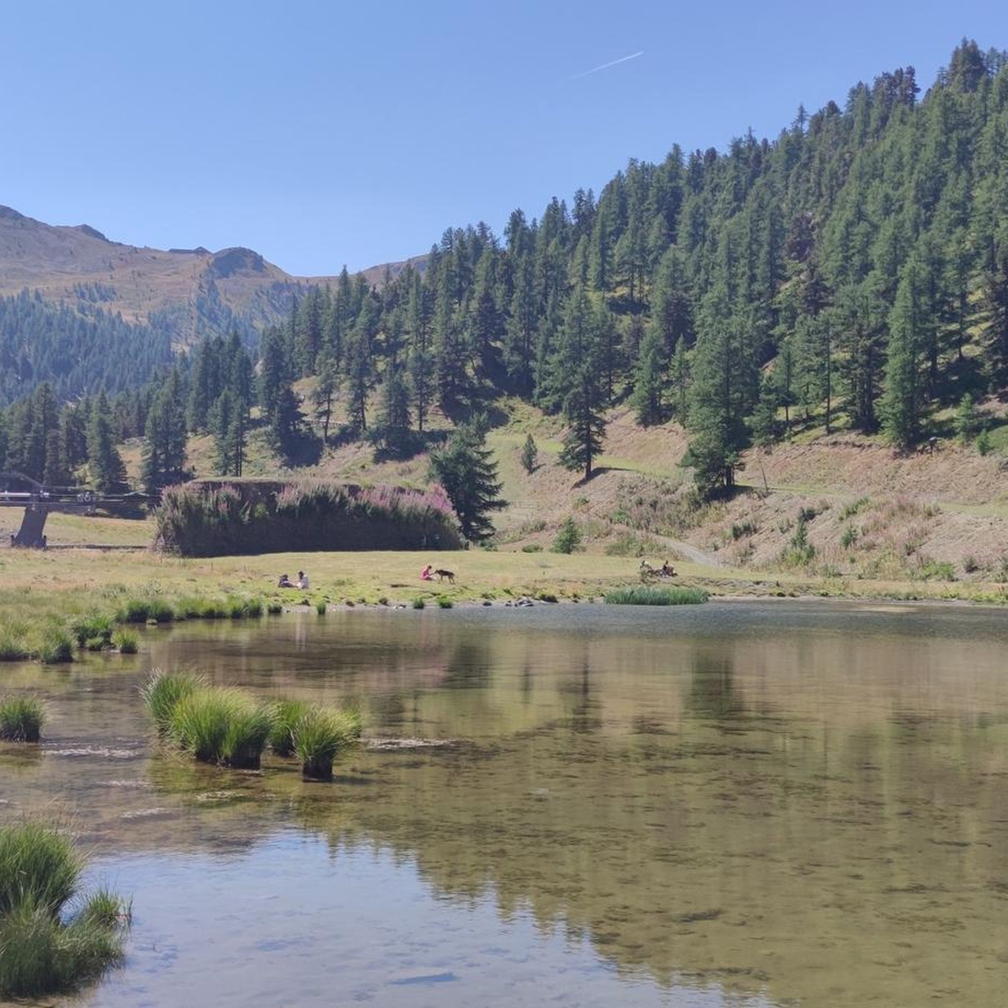
Small body of water visible from the dirt road
0
0

Almost at the intersection with the dirt road that climbs towards Lago Nero. It's a shame it's not used, maybe as a summer camp! Many trails around the barracks, so ideal for a stop
0
0
lake you encounter after Saga longa, ideal for a stop and for the dog to splash around!
0
0

Gran Serin Barracks
0
0

Everything is cycleable, so you can enjoy the beautiful views
2
0
Frequently Asked Questions
Are there any easy gravel bike trails suitable for beginners in Claviere?
Claviere's gravel biking terrain is predominantly characterized by significant elevation changes and alpine landscapes, making most routes challenging. While there are no routes classified as 'easy,' komoot lists four 'moderate' trails that might be more approachable for experienced beginners. Always check the route profile for elevation and distance before heading out.
What are some of the most challenging gravel bike trails around Claviere?
For a demanding ride, consider the Capanna Mautino Mountain Hut – Montgenèvre Pass loop from Cesana Torinese. This difficult route covers over 62 km with more than 2,200 meters of elevation gain, offering a substantial challenge through high-altitude terrain.
When is the best time of year for gravel biking in Claviere?
The ideal time for gravel biking in Claviere is typically during the summer months, from late June to early September. During this period, mountain passes are generally clear of snow, and the weather is most stable, offering the best conditions for exploring the high-altitude alpine trails.
Are there family-friendly gravel bike routes in Claviere?
Due to the region's alpine nature and significant elevation changes, most gravel bike routes in Claviere are classified as difficult or moderate. While there aren't specific 'family-friendly' routes, families with older, experienced riders might find shorter sections of moderate trails manageable. Always review the route's elevation profile and distance carefully.
What kind of scenery can I expect on gravel bike trails in Claviere?
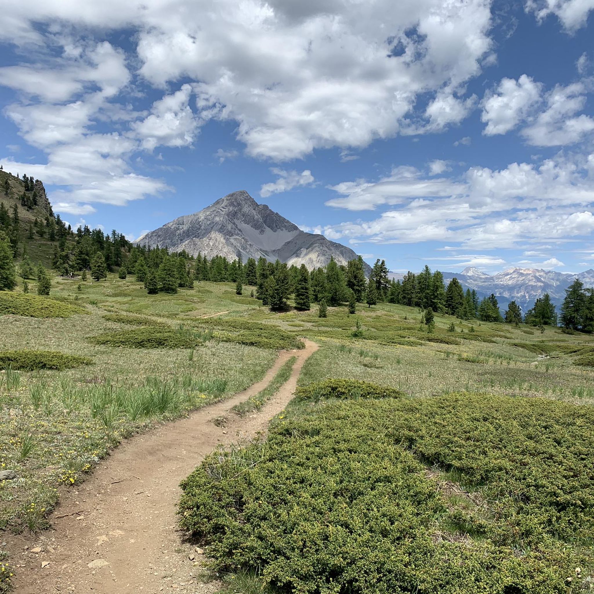
Gravel biking in Claviere offers diverse alpine scenery, ranging from extensive forest trails, particularly in areas like the Great Forest of Salbertrand, to open mountain landscapes with panoramic views. You'll traverse mountain passes, connect alpine villages, and experience significant elevation changes that reveal stunning vistas.
Are there any circular gravel bike routes available in Claviere?
Yes, many of the gravel bike routes in Claviere are designed as loops. For example, the Lago Nero di Bousson – Sagnalonga Alpine Village loop from Claviere offers a challenging 35.8 km circular ride, allowing you to start and finish in the same location.
What do other gravel bikers enjoy most about the trails in Claviere?
The gravel bike trails in Claviere are highly rated by the komoot community, with an average score of 4.9 stars from over 30 reviews. Riders frequently praise the challenging alpine terrain, the extensive forest trails, and the rewarding views from mountain passes and high-altitude villages.
What are some notable landmarks or attractions I might see near the gravel bike trails?
While riding, you might encounter various points of interest. Depending on your route, you could pass by natural features like Lac Gignoux (Lake of Seven Colours) or historical sites such as the Mont Chaberton Fort. Mountain passes like Montgenèvre Pass are also prominent features.
Are there opportunities for long-distance gravel biking in Claviere?
Absolutely. Claviere is well-suited for long-distance gravel biking, with routes that cover significant mileage and elevation. The Panoramic tour in the park of the Great Forest of Salbertrand, for instance, is a difficult 91.3 km trail that explores a vast forest area with considerable climbing.
Can I find gravel bike trails with cafes or places to stop for refreshments?
Many routes in the Claviere region connect alpine villages and mountain passes, which often have small cafes, restaurants, or refuges where you can stop for refreshments. Planning your route to pass through villages like Sagnalonga or near towns like Cesana Torinese will provide opportunities for breaks.
How many gravel bike trails are available around Claviere?
There are over 20 gravel bike trails documented on komoot around Claviere, offering a wide range of options for different skill levels, though most are categorized as moderate to difficult due to the alpine terrain.
What is the typical elevation gain on gravel bike trails in Claviere?
Gravel bike trails in Claviere are known for significant elevation changes. Even moderate routes can feature several hundred meters of climbing, while difficult trails often involve over 1,000 meters of ascent, with some exceeding 3,000 meters, such as the Panoramic tour in the park of the Great Forest of Salbertrand.
Most popular attractions around Claviere

Get inspired with the komoot mobile app


Explore more
Browse the best Gravel rides in other regions.
