The best gravel rides around Somma Lombardo
4.4
(325)
1,851
riders
87
rides
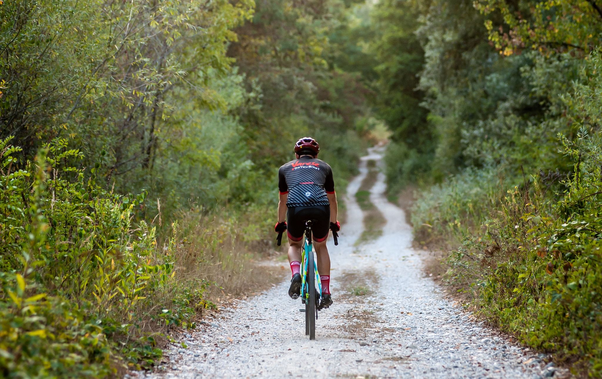
Gravel biking around Somma Lombardo features routes that traverse the plains of the Ticino River valley, offering a mix of canal paths and forested sections. The terrain is generally flat to gently rolling, with some routes incorporating minor ascents. This area provides access to a network of trails suitable for various gravel biking experiences, from leisurely rides along waterways to longer, more challenging routes.
Best gravel bike trails around Somma Lombardo
- The most popular gravel bike trail is Visconti castles…
Last updated: July 9, 2026
4.0
(5)
25
riders
48.9km
04:42
420m
420m
Moderate gravel ride. Good fitness required. Some segments of this route may be unpaved and difficult to ride.
4.0
(5)
23
riders
45.5km
03:08
420m
420m
Moderate gravel ride. Good fitness required. Mostly paved surfaces. Suitable for all skill levels.

Sign up for free
26
riders
Hard gravel ride. Very good fitness required. Mostly paved surfaces. Suitable for all skill levels.
4.6
(9)
119
riders
47.1km
02:51
320m
320m
Moderate gravel ride. Good fitness required. Mostly paved surfaces. Suitable for all skill levels.
4.7
(29)
172
riders
93.5km
05:17
360m
360m
Hard gravel ride. Very good fitness required. Mostly paved surfaces. Suitable for all skill levels.
Get access to more routes and recommendations from other explorers.
Sign up for free
Already have an account?
Our route recommendations are based on thousands of hikes, rides, and runs completed by other people on komoot.
Start today with a free account
Your next adventure awaits.
Login or Signup
Other adventures around Somma Lombardo

Tips from the Community

The Naviglio Grande stretch in Castelletto di Cuggiono is one of the most evocative and intact historical and natural sights of the entire Ticino Park. Located in the province of Milan, this ancient river village seems suspended in time and is an ideal destination for walks, cycle touring, and relaxation away from the city chaos.
0
0

And here there is also a trattoria since 1535
1
0
Another great hydraulic dam work on the Ticino
0
0
Great beautiful cycle path on the Ticino Park
1
0
The unique name "Panperduto" derives mainly from the local dialect and ancient stories related to river navigation before the construction of the dam. In the past, commercial barges carrying goods or stones often collided with the rapids and rocky riverbeds of this stretch of the river, ending up capsizing and losing their entire cargo. This meant the loss of the entire day's work and the earnings needed to buy food, hence the saying "we lost the bread" (hence Panperduto).
0
0
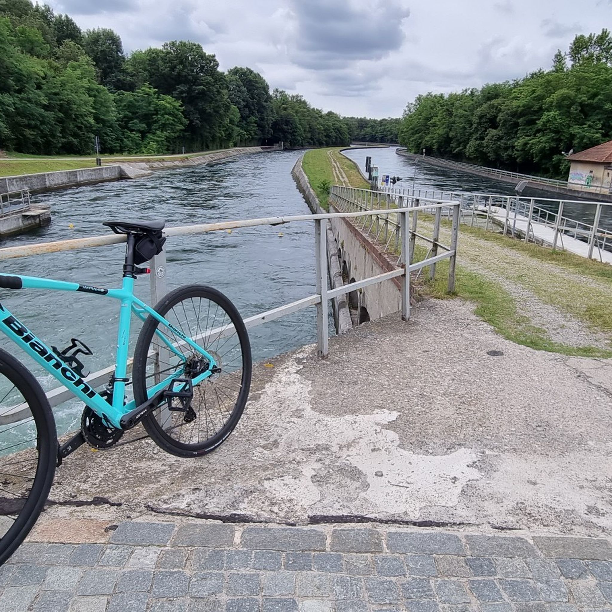
La Diga del Panperduto (or rather, the Dighe del Panperduto) is one of Lombardy's most important and fascinating hydraulic junctions, located on the Ticino river in the municipality of Somma Lombardo, in the province of Varese. This monumental complex of hydraulic engineering dates back to the late 19th century (inaugurated in 1884) and mainly serves to divert the waters of the Ticino to feed two fundamental artificial canals: Villoresi Canal: used for irrigation purposes, guaranteeing water for over 100,000 hectares of agricultural land in the Po Valley. Industrial Canal: fundamental for the production of hydroelectric energy through various power plants in the area.
0
0

very cute
0
0

The intersection between the Olona river and the Villoresi Canal occurs in the Alto Milanese area, specifically between the municipalities of Parabiago, Nerviano, and San Vittore Olona. This area is characterized by the intersection of local cycle paths (such as the Olona Greenway) and the long irrigation canal, offering naturalistic and historical routes.
0
0
Frequently Asked Questions
How many gravel bike trails are available around Somma Lombardo?
There are over 110 gravel bike routes in the Somma Lombardo area. These include a diverse range of options, with 7 routes classified as easy, 74 as moderate, and 32 as difficult, catering to various skill levels and preferences.
Are there easy gravel bike trails suitable for beginners or families?
Yes, Somma Lombardo offers several easy gravel bike trails perfect for beginners or family outings. These routes typically follow the flat terrain of the Ticino River valley and canal paths, providing a relaxed riding experience. While specific easy routes are not detailed here, you can find 7 easy routes on komoot.
What is the typical length of gravel bike trails near Somma Lombardo?
The gravel bike trails around Somma Lombardo vary significantly in length. For instance, the Visconti castles Tour is about 30.4 miles (48.9 km), while the Towpath of the Villoresi Canal extends to 58.1 miles (93.5 km). You'll find options ranging from shorter loops to longer, more challenging rides.
Are there any circular gravel bike routes in the area?
Yes, many gravel bike routes around Somma Lombardo are designed as loops, allowing you to start and end in the same location. A popular example is the Valle del Boia Trail – Trail in the Boia Valley loop from Somma Lombardo, which offers a moderate 28.1-mile (45.1 km) ride through natural scenery.
What kind of natural sights or landmarks can I expect to see along the gravel trails?
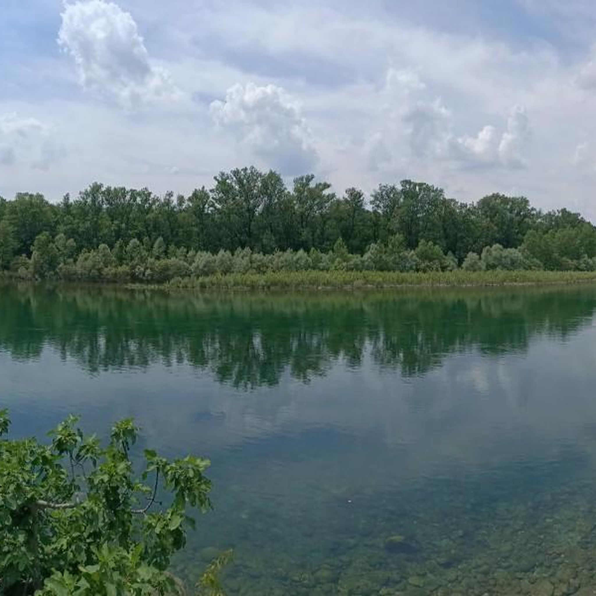
The gravel trails often traverse the scenic Ticino River valley, offering views of waterways and forested sections. You might encounter historical structures like the Panperduto Dam or the Church of Saint Mary in Binda. Some routes, like the Angera Lakeside Promenade, even offer views of Lake Maggiore.
Are there any routes that offer good viewpoints or scenic overlooks?
While the region is generally flat, routes along the Ticino River and canals provide open vistas. For specific viewpoints, consider trails that pass near highlights such as the Iron Bridge Over the Villoresi Canal, which offers a unique perspective over the waterway, or the Regina Elena Canal route with views over vineyards.
What is the best time of year for gravel biking in Somma Lombardo?
The best time for gravel biking in Somma Lombardo is typically during spring and autumn when temperatures are mild and the natural scenery is vibrant. Summer can also be pleasant, especially along shaded river and canal paths, but be prepared for warmer weather. Winter riding is possible, though some paths might be muddy after rain.
Is there public transport access to the gravel trails in Somma Lombardo?
Somma Lombardo is well-connected by public transport, including a train station. Many routes are accessible directly from the town, making it convenient to reach the starting points without a car. Check local train and bus schedules for specific connections to trailheads.
What do other gravel bikers enjoy most about gravel biking in Somma Lombardo?
The area is highly rated by the komoot community, with an average score of 4.5 stars from over 240 reviews. Reviewers often praise the diverse terrain, from peaceful canal paths to forested sections, and the opportunity to explore historical areas. The well-maintained network of trails and the variety of routes for different skill levels are also frequently highlighted.
Are there any cafes or refreshment stops along the gravel routes?
Many routes in the Somma Lombardo area pass through or near small towns and villages where you can find cafes, restaurants, and shops for refreshments. While specific stops aren't listed for every trail, planning your route with komoot allows you to identify potential stops along the way.
Can I download GPX files for gravel bike routes in Somma Lombardo?
Yes, all routes available on komoot, including those around Somma Lombardo, can be downloaded as GPX files. This allows you to navigate offline using your GPS device or smartphone, ensuring you stay on track throughout your ride.
Most popular routes around Somma Lombardo
Most popular attractions around Somma Lombardo

Get inspired with the komoot mobile app


Explore more
Browse the best Gravel rides in other regions.
