The best gravel rides around Raveo
4.7
(35)
351
riders
19
rides
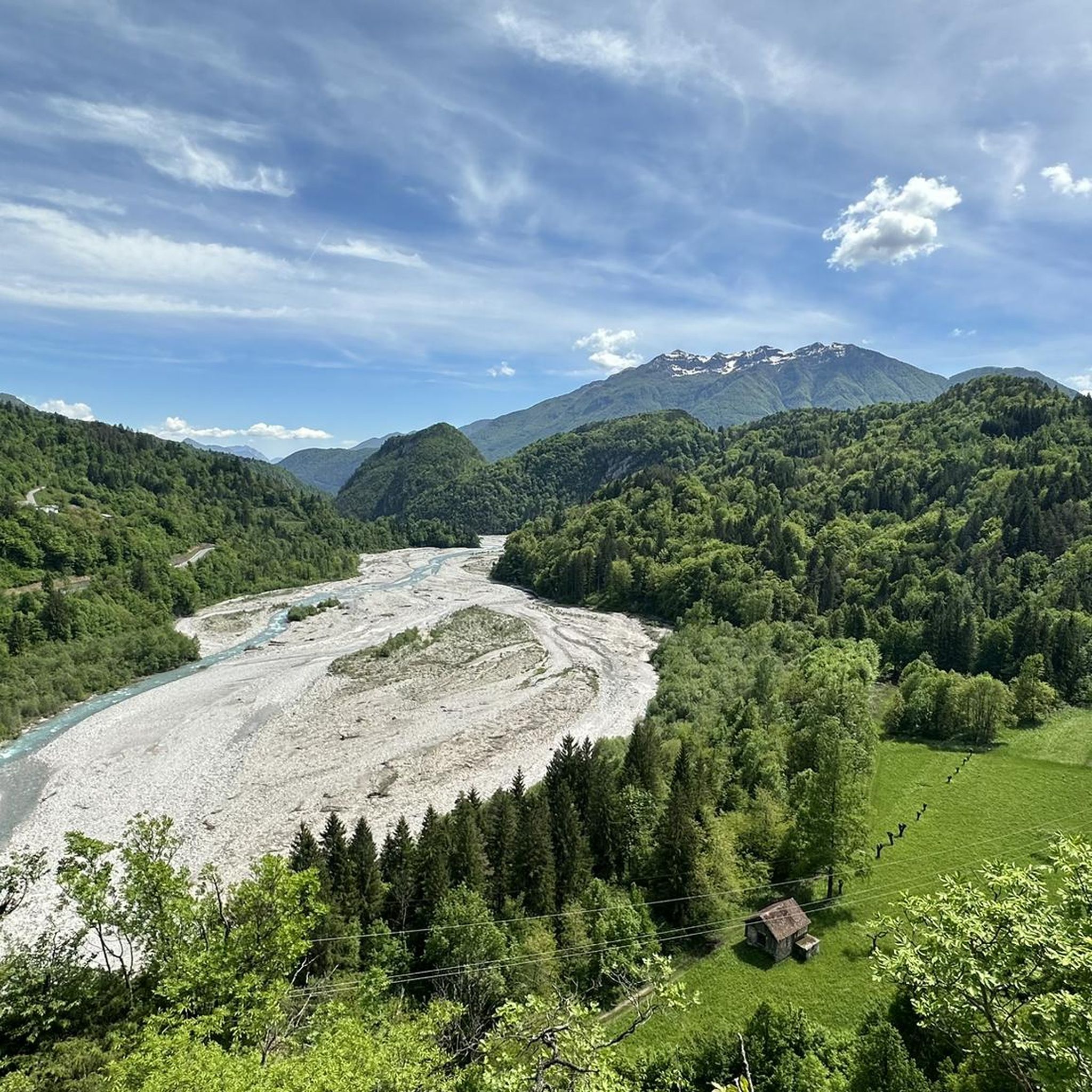
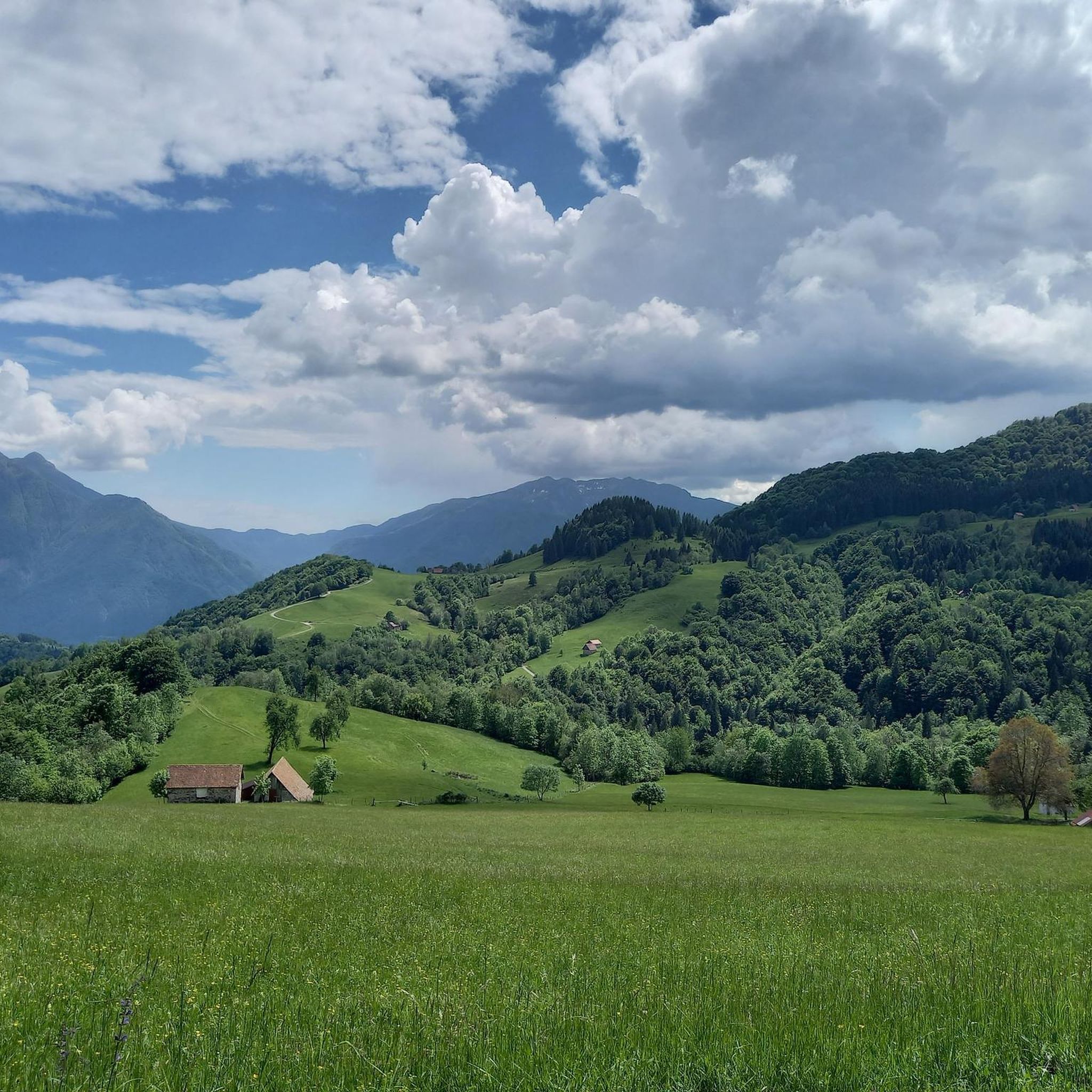
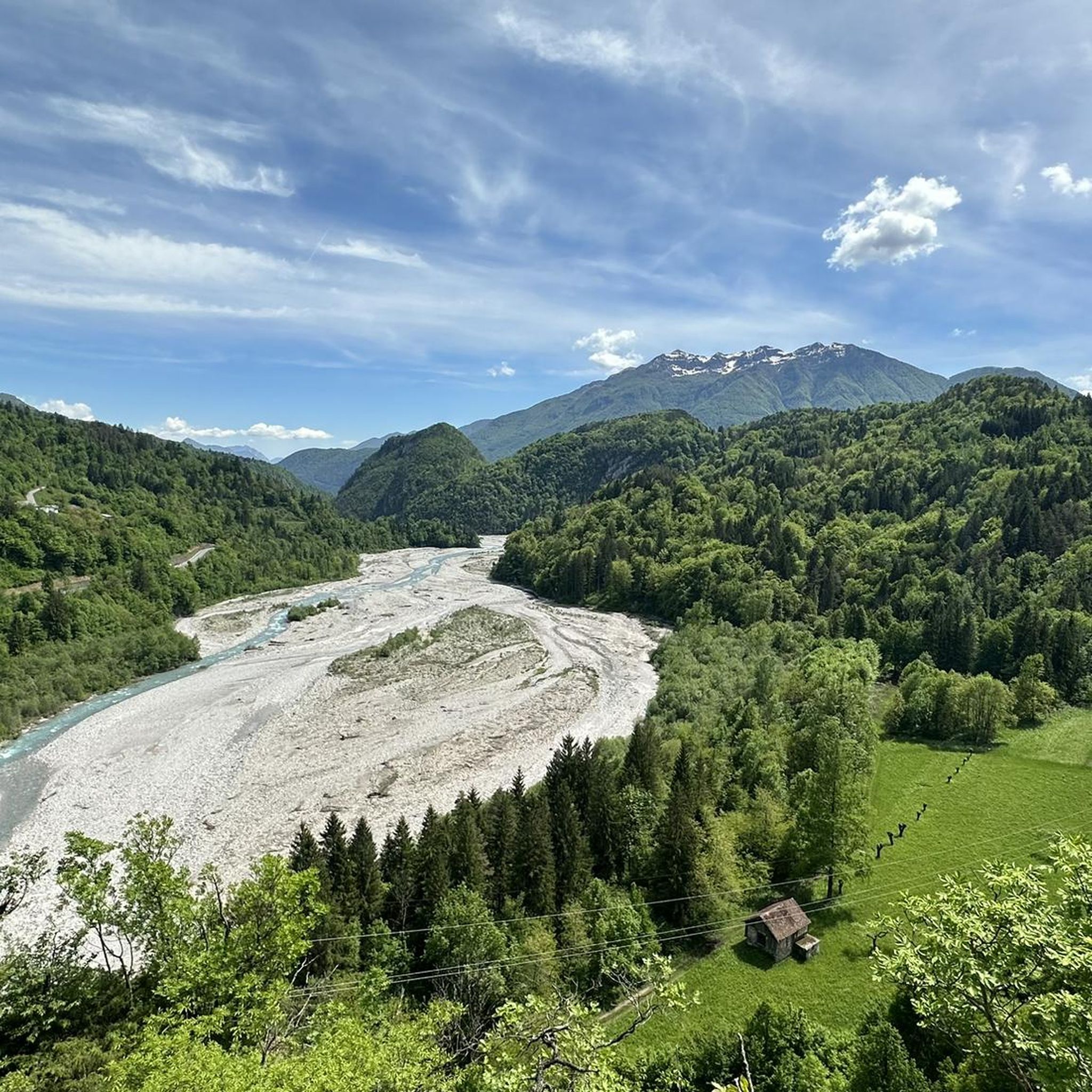
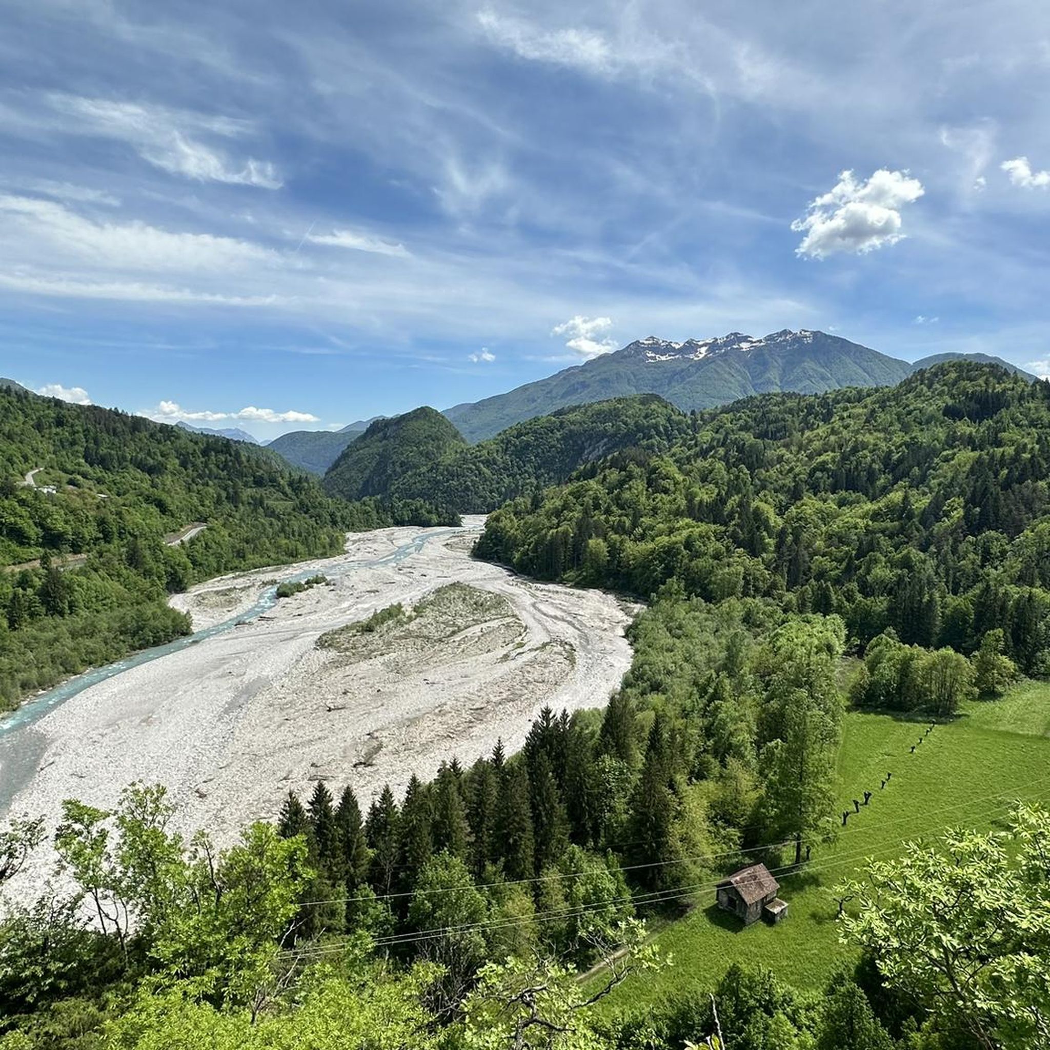
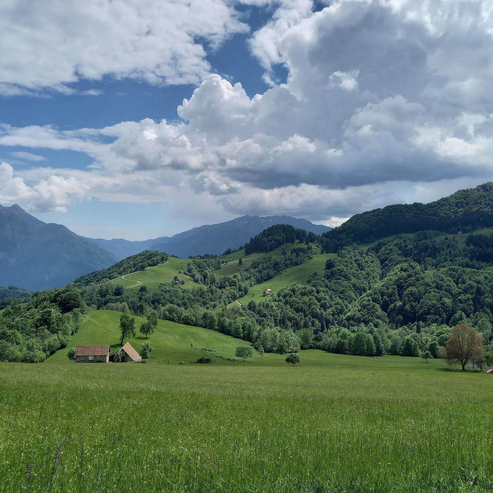
Gravel biking around Raveo offers routes through a mountainous landscape characterized by significant elevation changes and scenic natural features. The region, situated in the Carnia area, provides access to varied terrain, including challenging climbs and views of alpine lakes and river valleys. Routes often combine paved and unpaved surfaces, with some segments involving demanding terrain. The Carnic Alps provide a dramatic backdrop for these gravel bike trails.
Best gravel bike trails around Raveo
- The most popular gravel bike trail is…
Last updated: October 21, 2026
4.7
(15)
152
riders
47.1km
03:53
1,690m
1,690m
Hard gravel ride. Very good fitness required. Mostly paved surfaces. Suitable for all skill levels.
5.0
(1)
10
riders
18.7km
01:44
640m
650m
Hard gravel ride. Very good fitness required. Mostly paved surfaces. Suitable for all skill levels.

5.0
(1)
25
riders
41.0km
03:42
1,670m
1,670m
Hard gravel ride. Very good fitness required. Mostly paved surfaces. Suitable for all skill levels.
14
riders
41.6km
03:43
1,680m
1,690m
Hard gravel ride. Very good fitness required. Mostly paved surfaces. Suitable for all skill levels.
10
riders
80.5km
05:57
2,000m
2,000m
Hard gravel ride. Very good fitness required. Mostly paved surfaces. Suitable for all skill levels.
Get access to more routes and recommendations from other explorers.
Already have an account?
Our route recommendations are based on thousands of hikes, rides, and runs completed by other people on komoot.
Start today with a free account
Your next adventure awaits.

Tips from the Community

It is a wonderful area of enchanted beauty and I visit it several times a year, the effort is always rewarded
0
0

Three unlit, relatively narrow tunnels
2
0
Going down is always a pleasure, even if it really puts the brakes to the test. Have fun on the ascent.
2
0
Nice place with a watch museum and many other clocks. However, the gastronomic offer was poor.
2
0
Descent brilliant, ascent brutal.
2
0
Hammer route with luggage managed, but took the cable car, descent was grandiose, similarly crazy as the Col de la Loze.
2
0
Nice village of clocks, clock museum and many clocks in various places. Disappointing was the gastronomic offer.
2
0
Nice little church and separate bell tower.
2
0
Frequently Asked Questions
What is the general difficulty level of gravel bike trails around Raveo?
Gravel biking around Raveo is primarily suited for experienced riders. The region features a mountainous landscape with significant elevation changes and challenging climbs. Out of 14 available routes, 13 are rated as difficult, with only one moderate option.
Are there any family-friendly or beginner gravel bike routes in Raveo?
The gravel bike trails around Raveo are predominantly challenging and designed for experienced riders, featuring substantial climbs and difficult terrain. There are no routes specifically rated as 'easy' for beginners or young families. The one moderate route still requires a good level of fitness.
What kind of terrain can I expect on gravel bike trails near Raveo?
You can expect a mountainous landscape with significant elevation changes, including challenging climbs and descents. The routes often traverse mountain passes like Monte Zoncolan, and offer views of alpine lakes and river valleys. The terrain is varied, requiring a gravel bike capable of handling demanding conditions.
Are there any circular gravel bike routes around Raveo?
Yes, many of the gravel bike routes around Raveo are loops. For example, you can explore the Monte Zoncolan Pass Road – Zoncolan loop from Comeglians / Comelians, which is a 40.6-mile (65.4 km) challenging ride. Another option is the Lake Sauris – Lake Sauris loop from Sauris di Sotto / Dörf / Sauris Disot, a shorter 11.6-mile (18.7 km) route.
What are some scenic viewpoints or attractions along the gravel bike routes?
Many routes offer panoramic views of the peaks and passes. You can find scenic spots like the Panoramica Delle Vette or pass by beautiful bodies of water such as Laghetto di Villa Santina. The region is characterized by alpine lakes and river valleys, providing numerous picturesque moments.
What is the best time of year for gravel biking in Raveo?
Given the mountainous terrain and significant elevation, the best time for gravel biking in Raveo is typically from late spring through early autumn (May to October). During these months, the weather is generally more stable, and mountain passes are clear of snow. Winter riding can be challenging due to snow and ice, especially at higher elevations.
Are there any routes that pass by lakes or water features?
Yes, several routes incorporate lakes and river valleys. The Laghetto di Villa Santina – Panoramica delle Vette loop from Tolmezzo / Tumieç passes by a scenic lake. Another option is the Lake Sauris – Lake Sauris loop from Sauris di Sotto / Dörf / Sauris Disot, which takes you through the beautiful Lake Sauris area.
What do other gravel bikers enjoy most about the trails in Raveo?
The gravel biking experience in Raveo is highly rated by the komoot community, with an average score of 4.8 stars from over 20 reviews. Riders often praise the challenging nature of the routes, the stunning mountainous scenery, and the rewarding climbs through passes like Monte Zoncolan.
Are there options for parking near the gravel bike trails in Raveo?
While specific parking areas for each trail are not detailed, many routes start from towns like Comeglians, Tolmezzo, Sauris di Sotto, or Ovaro. These towns typically offer public parking facilities where you can leave your vehicle before starting your ride. It's advisable to check local parking regulations upon arrival.
How long are the gravel bike trails around Raveo?
The lengths of gravel bike trails around Raveo vary significantly. You can find shorter, challenging loops like the Lake Sauris – Lake Sauris loop from Sauris di Sotto / Dörf / Sauris Disot at 11.6 miles (18.7 km), which takes about 1 hour 43 minutes. Longer, more demanding routes, such as the Laghetto di Villa Santina – Panoramica delle Vette loop from Tolmezzo / Tumieç, stretch to 50.7 miles (81.6 km) and can take over 7 hours to complete.
Can I access Raveo's gravel bike trails using public transport?
Raveo and the surrounding towns are generally accessible by local bus services, though connections might be less frequent, especially in more remote mountain areas. For specific route starting points like Comeglians, Tolmezzo, or Ovaro, it's recommended to check local bus schedules in advance to plan your journey and ensure your bike can be transported.
Are there any cafes or places to eat near the gravel bike routes?
The towns and villages that serve as starting points for many routes, such as Comeglians, Tolmezzo, and Ovaro, will have local cafes, restaurants, and shops where you can refuel before or after your ride. Along the more remote mountain passes, options may be limited, so it's wise to carry sufficient provisions.
Are the gravel bike trails in Raveo suitable for dogs?
While the trails themselves are generally open, the suitability for dogs depends on the specific route and your dog's fitness level. Given the challenging terrain, significant elevation changes, and potential for long distances, some routes might be too strenuous for dogs. Always ensure your dog is on a leash, especially in areas with wildlife or livestock, and carry enough water for both of you.
Most popular attractions around Raveo

Get inspired with the komoot mobile app


Explore more
Browse the best Gravel rides in other regions.
