The best gravel rides around Borgo Val Di Taro
23
riders
7
rides
Gravel biking around Borgo Val Di Taro offers diverse routes through the Apennine foothills, where Emilia-Romagna, Tuscany, and Liguria converge. The region is characterized by varying elevations, dense woods, and clear streams, providing a mix of climbs and descents. Riders can explore the scenic Taro and Ceno valleys, encountering unpaved segments suitable for gravel bikes. This area features naturalistic itineraries and a network of trails that cater to different riding preferences.
Best gravel bike trails around Borgo Val di Taro
…Last updated: October 21, 2026
5
riders
110km
09:20
3,000m
3,000m
Hard gravel ride. Very good fitness required. Mostly paved surfaces. Suitable for all skill levels.
5
riders
66.1km
05:00
1,470m
1,470m
Hard gravel ride. Very good fitness required. Mostly paved surfaces. Suitable for all skill levels.

4
riders
80.9km
06:19
2,240m
2,230m
Hard gravel ride. Very good fitness required. Mostly paved surfaces. Suitable for all skill levels.
2
riders
95.3km
07:40
2,780m
2,780m
Hard gravel ride. Very good fitness required. Mostly paved surfaces. Suitable for all skill levels.
3
riders
Hard gravel ride. Very good fitness required. Mostly paved surfaces. Suitable for all skill levels.
Get access to more routes and recommendations from other explorers.
Already have an account?
Our route recommendations are based on thousands of hikes, rides, and runs completed by other people on komoot.
Start today with a free account
Your next adventure awaits.
Popular around Borgo Val Di Taro
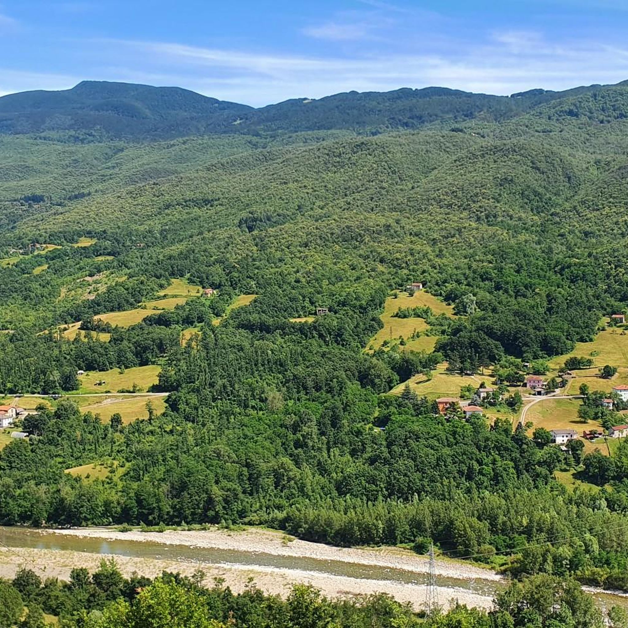
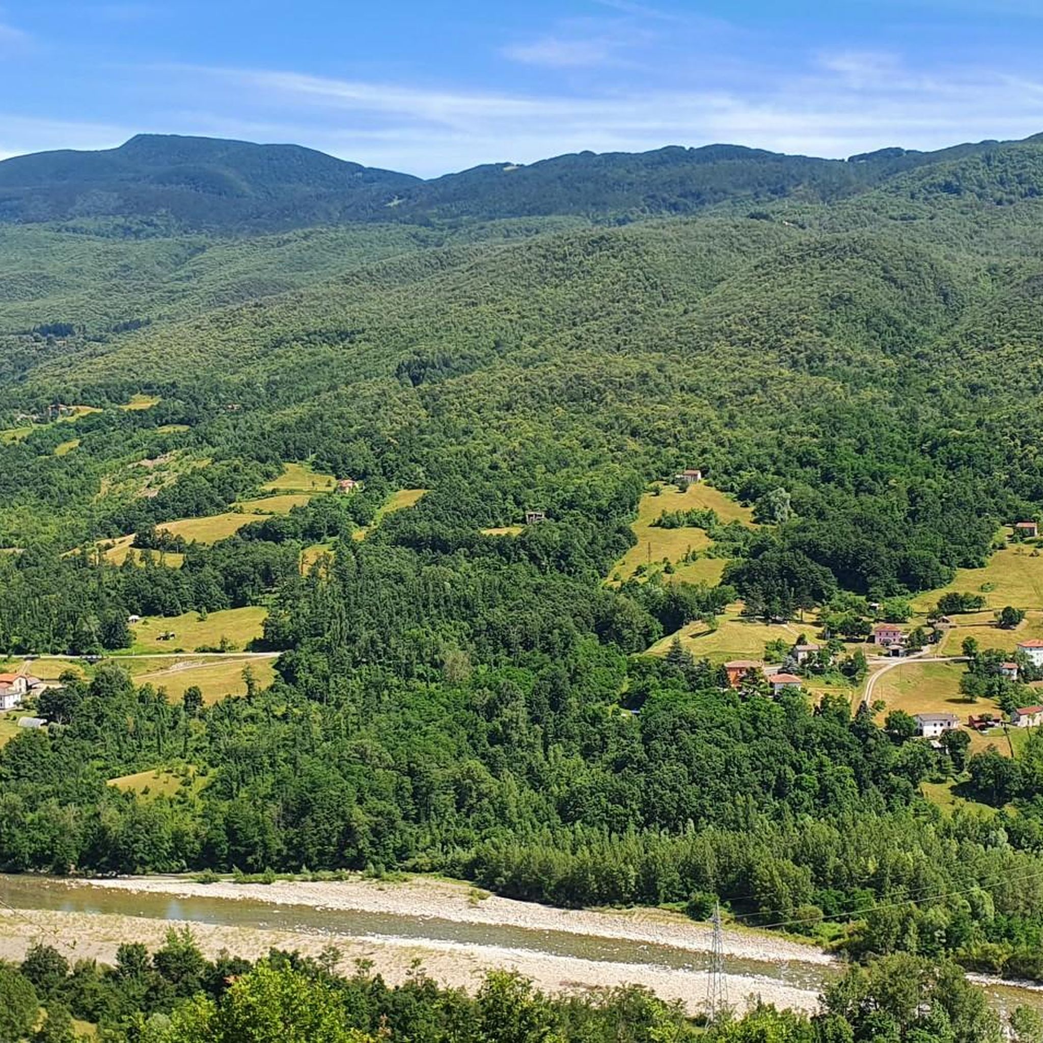
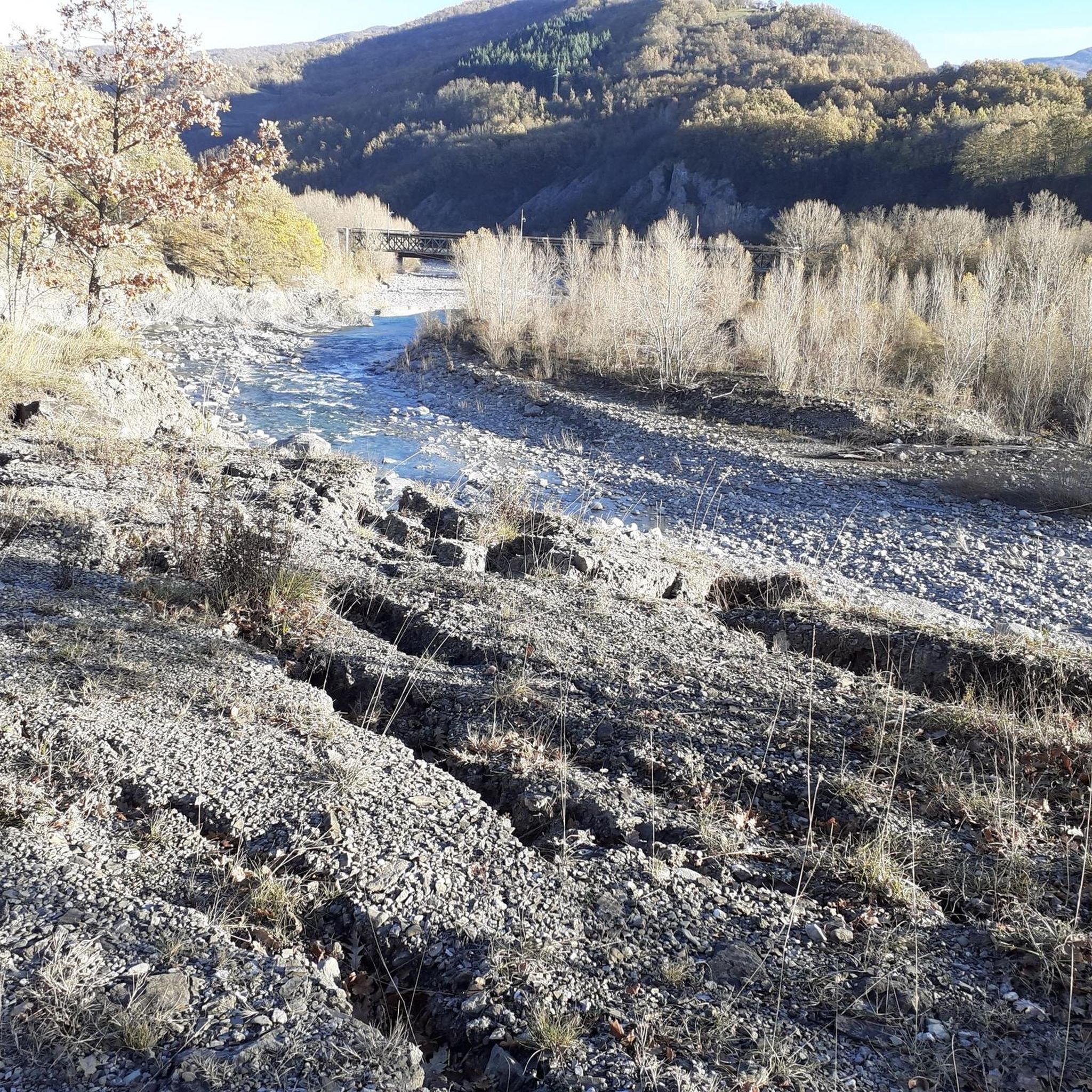


Tips from the Community

Pontremoli lies on the historic Via Francigena pilgrimage route, which leads from Canterbury/Southern England to Rome. A medieval gem in northern Tuscany.
1
0
The Concattedrale di Santa Maria Assunta impresses inside with a huge dome and opulent Baroque architecture
1
0

Always nice to come back here. Extremely pleasant place with shade, fresh water and a wonderful atmosphere.
1
0

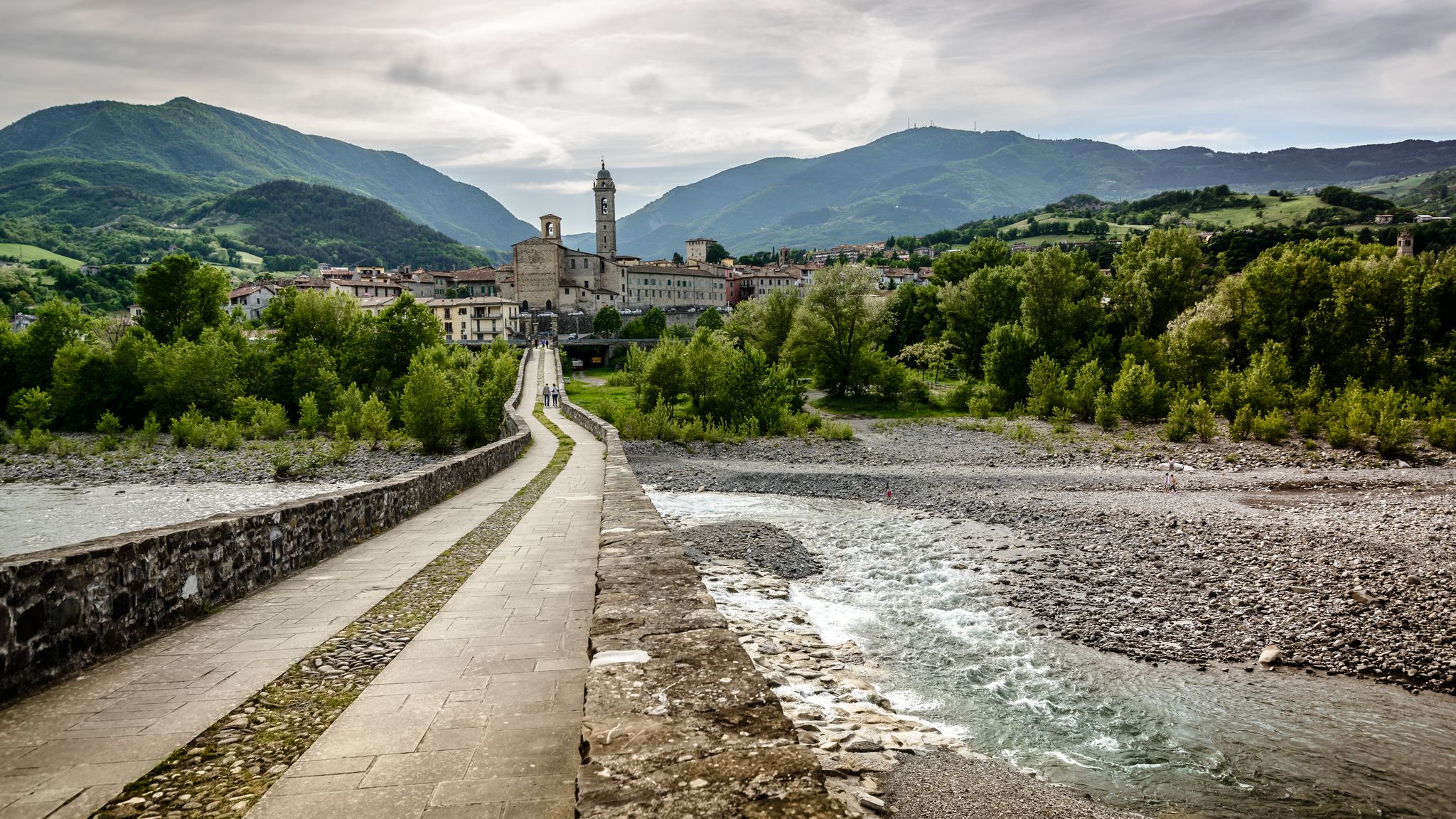
Il Ponte della Crësa is an ancient 14th-century stone bridge located in Pontremoli, Tuscany. It connects the medieval historic village and joins the Sommoborgo area to the Verde stream. It is also known as the San Francesco bridge Built in the 14th century (around 1219 as the original core near the church of San Francesco). Also called the San Francesco di sopra bridge because it leads to the nearby church of San Francesco. It united the ancient parts of the city divided by historical rivalries and served as access to the fortified village
0
0
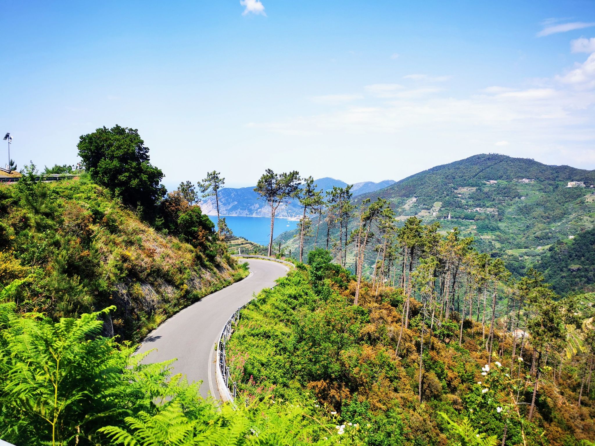
Pass of the Ligurian Apennines located at an altitude of 1,452 m, it is reachable by car and is a crossroads where various hiking trails branch off.
0
0
Born from the recovery of old barracks, it is a beautiful refuge where you can both eat and stay overnight. The location is stunning and makes it a must-stop when visiting these areas.
1
0
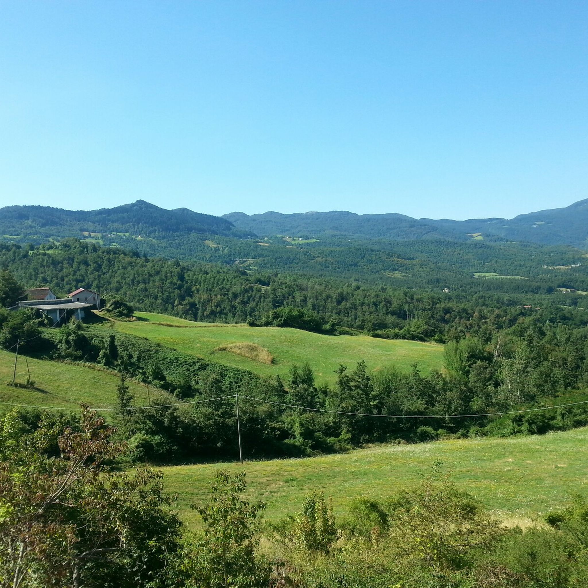
A scenic spot, but very exposed and steep. Be very careful. Children must be accompanied and held hand in hand!
0
0
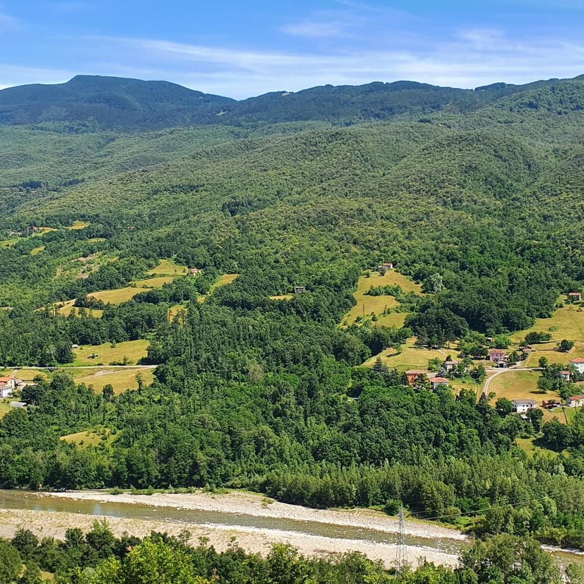
Established in December 2010, it covers the southwestern portion of the Province of Parma, divided between the municipalities of Albareto and Borgo Val di Taro. With an altitude ranging from 478 to 693 meters above sea level, it covers an area of approximately 370 hectares and is located within the larger WWF Oasis of the same name.
0
0
Frequently Asked Questions
What are the general difficulty levels of gravel bike trails in Borgo Val Di Taro?
The gravel biking routes around Borgo Val Di Taro offer a range of challenges. While there are no routes specifically categorized as 'easy' in our current selection, you'll find a mix of 'moderate' and 'difficult' trails. The region's Apennine foothills provide varying elevations, dense woods, and clear streams, leading to routes with significant climbs and descents. For instance, the Alta Via dei Monti Liguri – Passo Alpicella (710 m) loop from Borgo Val di Taro is a challenging 110.5 km ride with nearly 3000m of elevation gain.
Are there any family-friendly gravel bike routes in the area?
While many of the listed gravel routes are quite challenging, the Val di Taro region itself offers very easy bike paths, such as the one running over 20 km along the Taro River. This path is perfect for cycling amidst greenery and nature, making it suitable for families or those seeking a more relaxed ride. These river paths often feature gentler terrain compared to the mountainous gravel trails.
What kind of scenic viewpoints can I expect on gravel bike trails around Borgo Val Di Taro?
Gravel biking in Borgo Val Di Taro offers numerous opportunities for breathtaking views. Many routes provide panoramic vistas of the Taro and Ceno valleys, showcasing the picturesque landscapes where Emilia Romagna, Tuscany, and Liguria converge. For a route specifically highlighting scenic beauty, consider the Scenic viewpoint – Church of Porcigatone loop from Borgo Val di Taro, which includes a dedicated scenic viewpoint.
Can I find loop gravel bike trails in Borgo Val Di Taro?
Yes, many of the gravel bike trails in Borgo Val Di Taro are designed as loops, allowing you to start and end your ride in the same location. Examples include the challenging Alta Via dei Monti Liguri – Passo Alpicella (710 m) loop from Borgo Val di Taro, the scenic Scenic viewpoint – Church of Porcigatone loop from Borgo Val di Taro, and the historically rich Bardi Castle – View of Bardi Castle loop from Bardi.
What is the best season for gravel biking in Borgo Val Di Taro?
Borgo Val Di Taro is an excellent destination for outdoor activities, particularly in spring and summer when the surrounding hills and mountains are vibrant green. These seasons offer ideal conditions for exploring the woods and clear streams. While specific winter conditions are not detailed, the mountainous terrain suggests that spring through early autumn would generally be the most pleasant and accessible times for gravel biking.
Are there routes that pass by rivers or waterfalls in the region?
Yes, the Val di Taro boasts magical places among rivers, mountains, and waterfalls. The region is rich in natural features, and you can find a very easy bike path of over 20 km running along the Taro River, perfect for cycling amidst greenery. While specific gravel routes might not directly feature waterfalls, the general area offers a diverse natural environment with clear streams and rivers.
What historical or cultural sites can I visit while gravel biking?
The Borgo Val Di Taro region is rich in history and culture. You can combine your gravel biking with visits to significant landmarks. For example, the Bardi Castle – View of Bardi Castle loop from Bardi trail leads through historical landscapes and past the impressive Bardi Castle. Borgo Val Di Taro itself features remains of an old castle, Romanesque churches like Sant'Antonino, and historical palaces such as Palazzo Boveri, offering interesting stops during your rides.
What do other gravel bikers enjoy most about gravel biking in Borgo Val Di Taro?
The komoot community highly rates the gravel biking experience in Borgo Val Di Taro. Over 20 gravel bikers have used komoot to explore the varied terrain, praising the diverse routes through the Apennine foothills, the scenic Taro and Ceno valleys, and the dense woodlands. Riders appreciate the mix of climbs and descents and the naturalistic itineraries available.
Are there any natural monuments or unique natural areas to explore?
Absolutely. The region is home to several natural monuments and unique areas. The Ghirardi WWF Oasis and Regional Nature Reserve in the upper Taro Valley is a significant highlight, encompassing six hundred hectares of meadows, woods, and streams, offering diverse flora and fauna. You can also find beautiful lakes like Lago Bozzo and Lago Verde in the vicinity.
What are some of the mountain peaks visible or accessible from the gravel trails?
The Borgo Val Di Taro area is nestled in the Apennines, offering views of several prominent peaks. While gravel trails might not always lead directly to the summits, you can often see or ride near mountains such as Monte Gottero, Monte Valoria, Monte Barigazzo, and Monte Molinatico. These peaks contribute to the stunning mountainous backdrop of the region.
Are there any hidden gem gravel bike routes in Borgo Val Di Taro?
Borgo Val Di Taro is known for its numerous hidden gems waiting to be explored. While specific 'hidden gem' routes are subjective, the region's extensive trail network, including unpaved segments, means there are always less-traveled paths to discover. The Pradesche Trail Junction – Start of P52 Beach Trail loop from Borgo Val di Taro offers a moderately challenging ride through varied terrain that might lead you to some quieter spots.
How long are the gravel bike routes near Borgo Val Di Taro?
The gravel bike routes in Borgo Val Di Taro vary significantly in length. You can find shorter, more manageable rides, as well as extensive, challenging tours. For example, the Scenic viewpoint – Church of Porcigatone loop from Borgo Val di Taro is about 32 km (20 miles) long, while the Alta Via dei Monti Liguri – Passo Alpicella (710 m) loop from Borgo Val di Taro stretches over 110 km (68 miles).
Most popular routes around Borgo Val Di Taro
Most popular attractions around Borgo Val Di Taro

Get inspired with the komoot mobile app


Explore more
Browse the best Gravel rides in other regions.
