The best gravel rides in High Tauern
4.6
(200)
1,766
riders
89
rides
Gravel biking in High Tauern offers a diverse landscape, ranging from deep valleys to glaciated peaks, making it a premier destination for outdoor enthusiasts. The region is characterized by Austria's highest mountains, extensive glacial areas, and numerous waterfalls and mountain lakes. Cyclists can explore a mix of asphalt, gravel, and forest paths that traverse alpine meadows, dense forests, and river valleys. This varied terrain provides a wide array of routes suitable for different skill levels, from challenging alpine climbs to…
Last updated: July 16, 2026
4.8
(13)
133
riders
45.8km
05:11
2,070m
2,070m
Hard gravel ride. Very good fitness required. You may need to push your bike for some segments of this route.
4.3
(3)
14
riders
17.0km
01:28
630m
630m
Hard gravel ride. Very good fitness required. Mostly paved surfaces. Suitable for all skill levels.

Sign up for free
6
riders
26.4km
02:19
1,040m
1,040m
Hard gravel ride. Very good fitness required. Mostly paved surfaces. Suitable for all skill levels.
5.0
(3)
14
riders
34.4km
02:57
1,150m
1,150m
Hard gravel ride. Very good fitness required. Mostly paved surfaces. Suitable for all skill levels.
5.0
(1)
13
riders
Hard gravel ride. Very good fitness required. Mostly paved surfaces. Suitable for all skill levels.
Get access to more routes and recommendations from other explorers.
Sign up for free
Already have an account?
Our route recommendations are based on thousands of hikes, rides, and runs completed by other people on komoot.
Start today with a free account
Your next adventure awaits.
Login or Signup
Popular around High Tauern
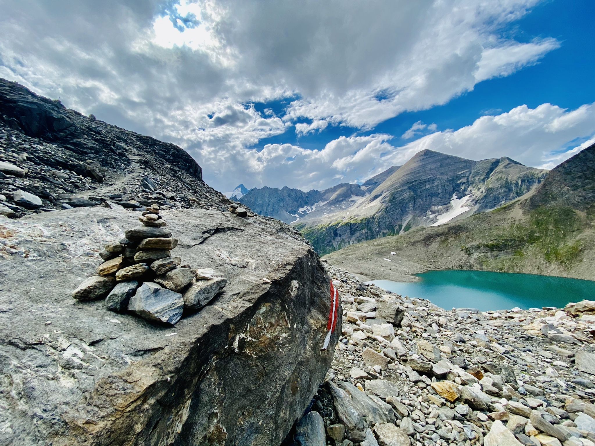
The Tauernhöhenweg – Once across the Hohe Tauern
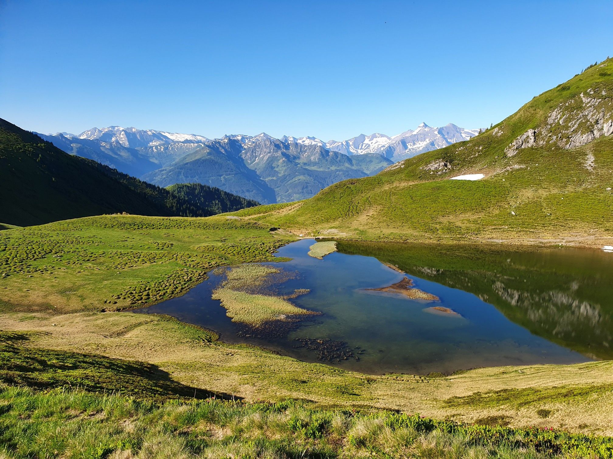
Hohe Tauern Panorama Trail – Face-to-face with 3000-metre peaks
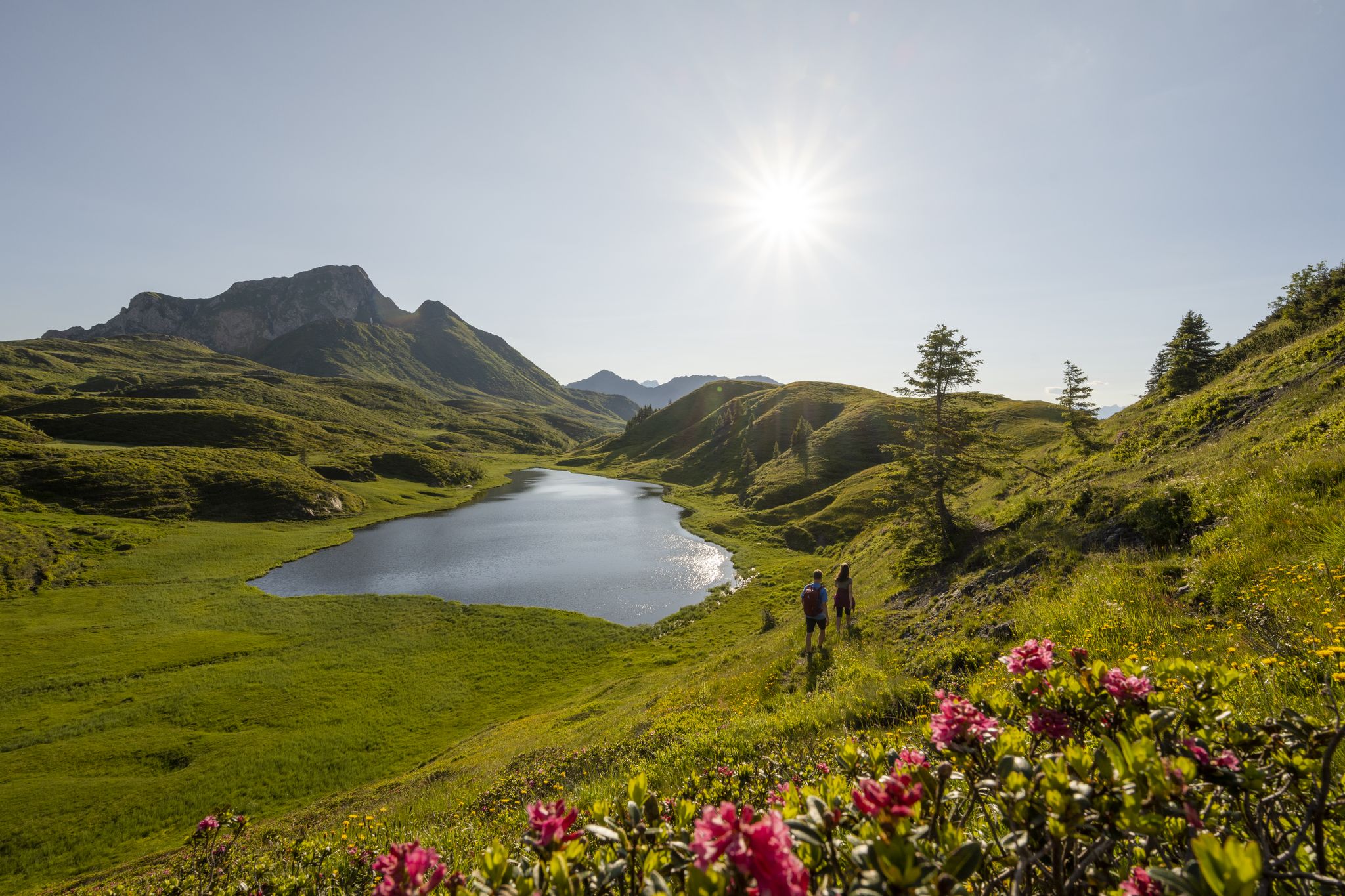
Long hikes on the southern side of the Austrian Alps – in Carinthia

Ruperti Trail – Hike from Austria's Bohemian Forest to the Carnic Alps
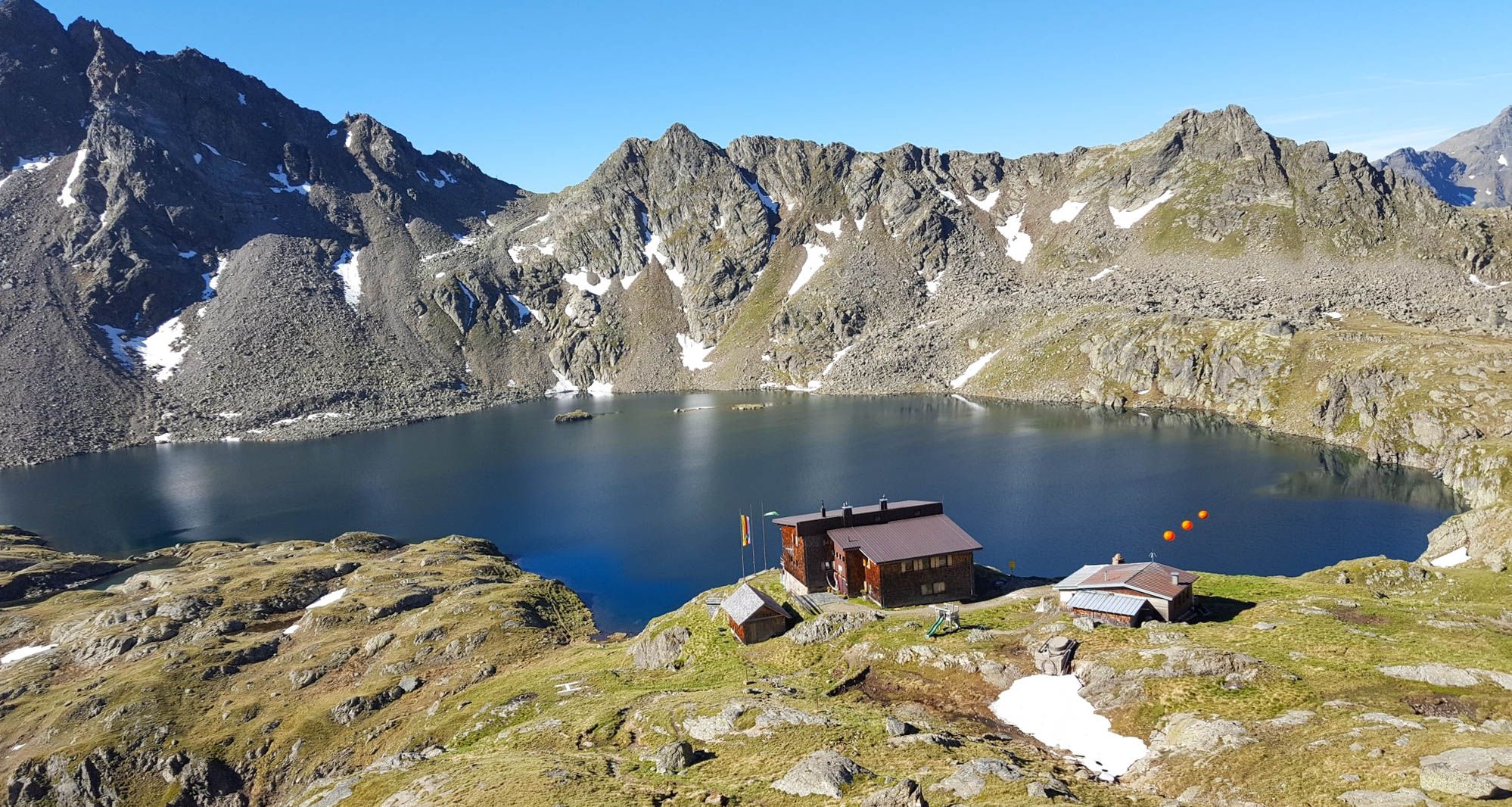
Wiener Höhenweg in Austria – 6 stages in the Schober Group
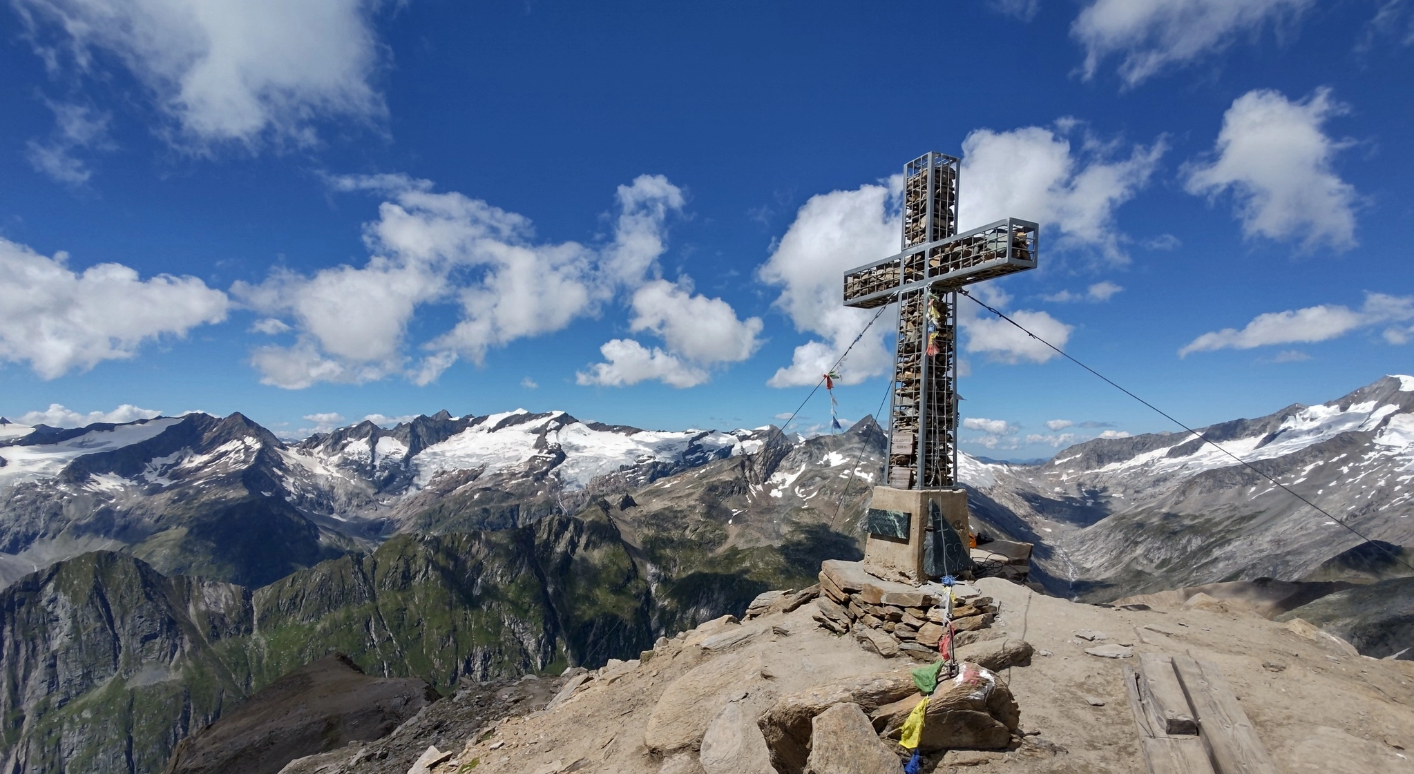
Venediger High Trail – mountain huts and glacial views
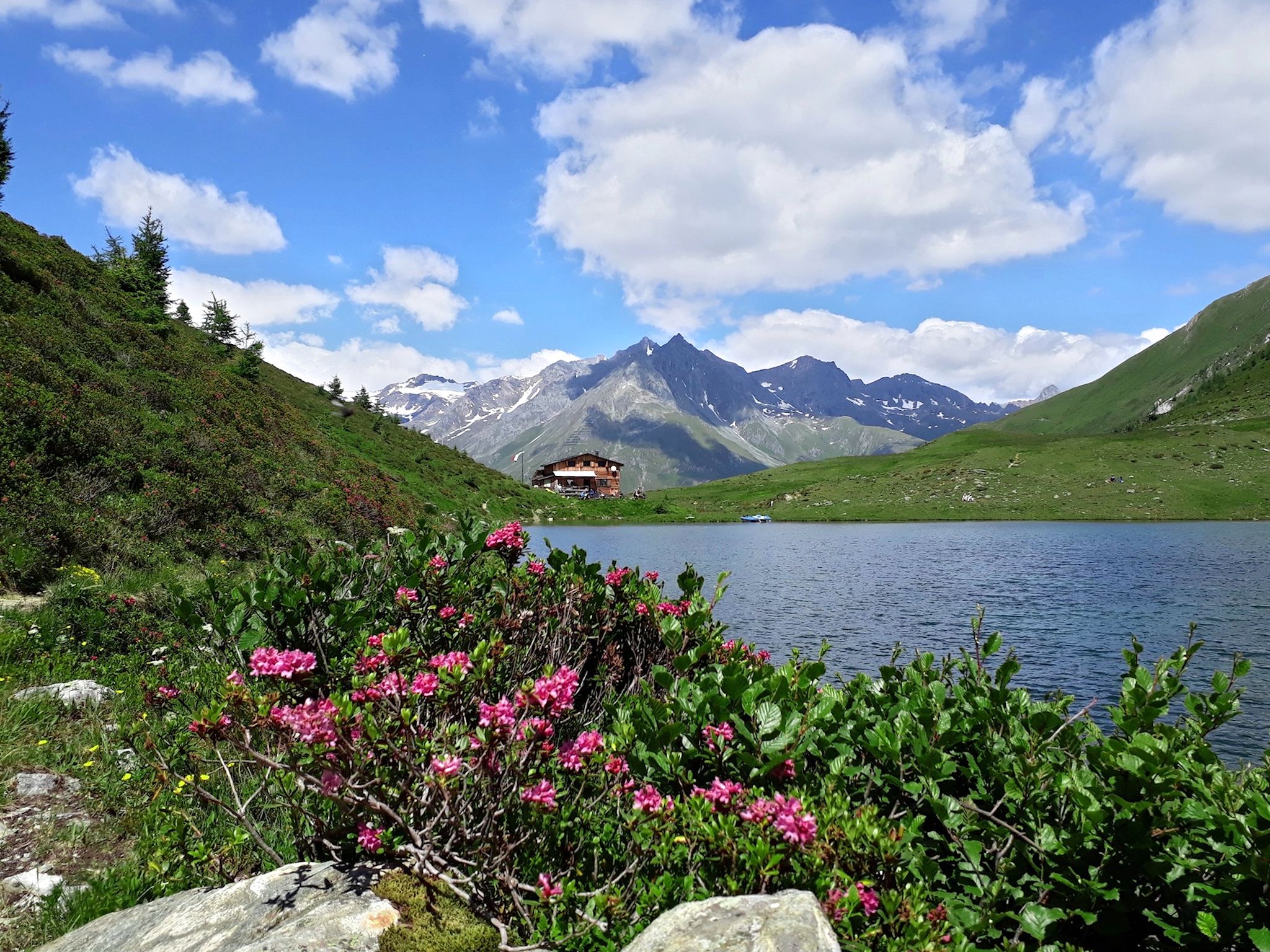
Lasörling High Altitude Trail in Austria – Alpine huts and glacial views
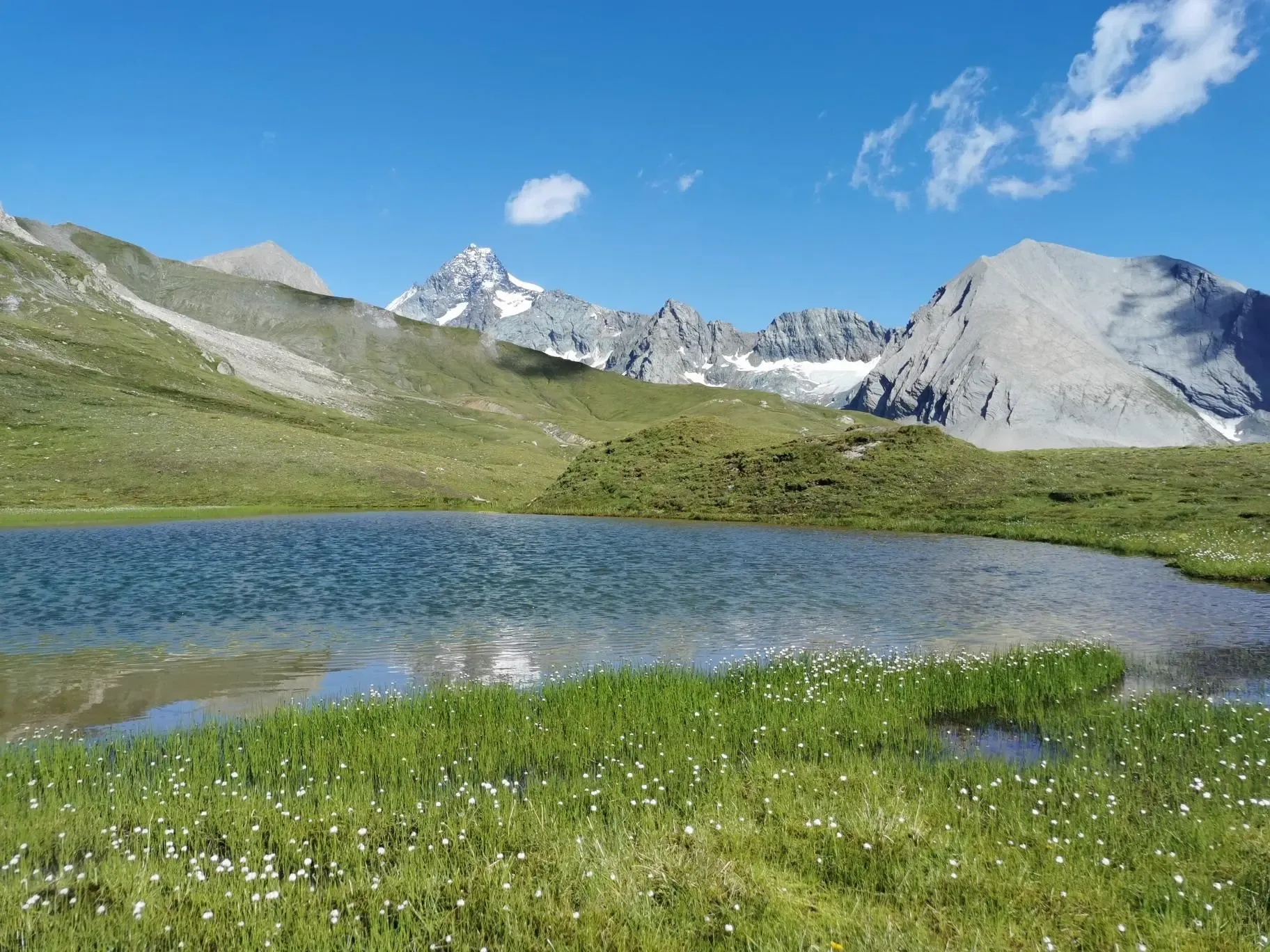
The Glockner Trek – Exploring Austria's highest peak
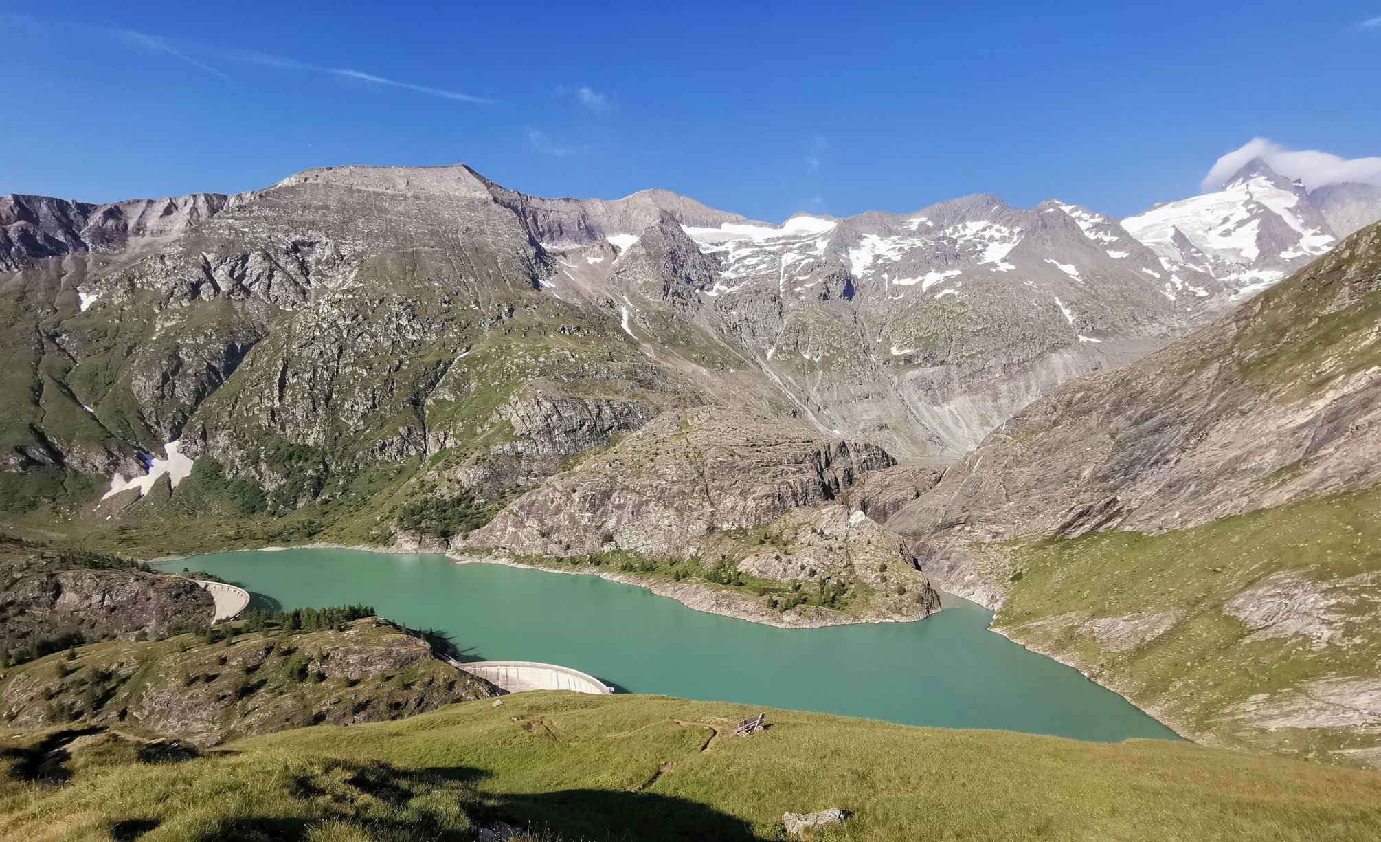
The Grossglockner – Circumnavigate Austria's highest mountain

Alpe-Adria-Trail: My long-distance hike from the glacier to the sea
Other adventures in High Tauern


Tips from the Community

The Kalsertal valley opens up towards the Glocknerwinkel and reveals the view of the Glockner.
0
0

Ok the reel deal here it’s ! You only can buy ticket the same day in person . There’s a little box with people who sell the ticket for the car , you go there with your bike ! And for the off season people like myself ! You can take your buy any time of the year. It’s 12€ as today November 2025. So: no need to do the climb the day before to be sure to have a ticket like myself 😅
1
0
The Glocknerwinkel is hard to beat in terms of landscape
0
0
Always a great subject - especially from the Glocknerwinkel region
0
0
A beautiful, easy mountain bike ride up to the Lucknerhaus.
0
0

I have rarely found a better resting place - wow, what a view!
0
0

The bike path from Mallnitz to Möllbrücke is well signposted! Some sections require chunkier tires! 🚵♂️
2
0

A very nice rest area with a view of Kals. It's not directly on the valley trail, but it's only a short detour.
0
0
Frequently Asked Questions
How many gravel bike trails are available in High Tauern?
High Tauern offers a vast network for gravel biking, with over 80 routes documented on komoot. These range from moderate to very challenging, providing diverse options for all skill levels.
What is the best time of year for gravel biking in High Tauern?
The prime season for gravel biking in High Tauern is typically from late spring through early autumn (May to October). During these months, trails are generally free of snow, and the weather is more stable. Higher alpine routes might still have snow patches in early summer. Winter gravel biking is generally not recommended due to heavy snowfall and challenging conditions.
Are there any family-friendly gravel biking options in High Tauern?
While many routes in High Tauern are challenging, the region does offer some less strenuous options. Look for routes along river valleys or in lower elevations. The Tauern Cycle Path, for instance, offers more leisurely stages, though specific family-friendly gravel sections would require local knowledge or detailed route planning.
What kind of terrain can I expect on gravel bike trails in High Tauern?
High Tauern presents a diverse mix of terrain. You'll encounter well-maintained forest and gravel paths, alongside sections of asphalt, especially on connecting roads. Expect significant elevation changes, from valley floors around 600-700 meters to high alpine passes. The region is known for its challenging climbs and rewarding descents through stunning mountain scenery.
What are some notable natural features or landmarks I can see while gravel biking?
The High Tauern region is rich in natural wonders. You can ride past impressive waterfalls like the Krimml Waterfalls Trail or the Middle Tier of the Krimml Waterfalls. The landscape also features vast glacial areas, towering peaks like the Grossglockner, and tranquil mountain lakes. You might also encounter unique geological formations like the 'Tauern Window'.
Are there any circular gravel bike routes in High Tauern?
Yes, High Tauern offers several circular gravel bike routes. For a challenging loop with magnificent views, consider the Magnificent view – Hochtor loop from Fusch an der Großglocknerstraße, which covers nearly 46 km and over 2000 meters of elevation gain. Another option is the Kalser Großglocknerstraße – View of the Großglockner loop from Großdorf, offering a shorter but still demanding 17 km ride with views of the Grossglockner.
What do other gravel bikers enjoy most about High Tauern?
The komoot community highly rates gravel biking in High Tauern, with an average score of 4.7 out of 5 stars from over 160 ratings. Reviewers often praise the breathtaking alpine scenery, the challenging climbs that lead to spectacular viewpoints, and the extensive network of well-maintained gravel and forest paths that allow for immersive experiences in nature.
Are there any long-distance gravel biking routes in the region?
For those seeking a longer adventure, the Old Großglockner Road – View of the Fuscher Törl loop from Heiligenblut offers a substantial challenge, spanning nearly 95 km with over 3600 meters of elevation gain. While parts of the Grossglockner High Alpine Road are paved, it can be integrated into longer gravel tours for its iconic views and demanding ascents.
Can I find places to eat or stay near the gravel bike trails?
Yes, the High Tauern region has various amenities. Along many routes, especially in valleys and near villages, you'll find mountain huts (like Kalser Tauernhaus or Gentian Hut) and guesthouses offering refreshments and accommodation. Larger towns and villages provide a wider selection of cafes, restaurants, and hotels. Planning your route with komoot can help identify these points of interest.
Are there any specific routes that offer views of the Grossglockner?
Absolutely. The Grossglockner, Austria's highest peak, is a prominent feature in the region. The Kalser Großglocknerstraße – View of the Großglockner loop from Großdorf is specifically designed to offer stunning vistas of this majestic mountain. Many other high-alpine routes will also provide glimpses of the Grossglockner and its surrounding peaks.
What are some challenging gravel bike routes in High Tauern?
High Tauern is known for its demanding gravel routes. The Mallnitz Village Center – Stockerhütte loop from Mallnitz-Obervellach is a difficult 26 km route with over 1000 meters of climbing. Another challenging option is the Sonntagsalm – Trattenbachtal loop from Wald im Pinzgau, which covers 34 km and over 1100 meters of elevation gain, taking you through scenic valleys and up to alpine pastures.
Is public transport available to access gravel biking trailheads in High Tauern?
Public transport options, including buses and regional trains, serve many of the valleys and towns within and around the High Tauern National Park. These can often be used to reach trailheads or connect different sections of longer routes. It's advisable to check local transport schedules and bike carriage policies in advance, especially during peak season.
Most popular routes in High Tauern
Most popular attractions in High Tauern

Get inspired with the komoot mobile app


Explore more
Browse the best Gravel rides in other regions.
