The best gravel rides around Buchholzerwald
4.5
(7)
161
riders
46
rides
Gravel bike trails around Buchholzerwald are set within a forested landscape, offering varied terrain suitable for mixed-surface cycling. The region, located near Mönchengladbach in North Rhine-Westphalia, Germany, features a network of paths and trails. These routes combine both paved and unpaved sections, allowing riders to explore diverse natural features. This environment is well-suited for gravel bikes, which are designed to handle such varied conditions.
Best gravel bike trails around Buchholzerwald
- The most popular gravel bike trail is Mine Wendel – La Mine, Carreau Wendel loop from Hanweiler - Bad Rilchingen, a 40.8 miles (65.7 km) trail that takes 3 hours 59 minutes to complete. This difficult route features significant elevation gain through the natural landscape.
- Another top favourite among local gravel bikers is Border Bridge over the River Blies – View of Mandelbachtal loop from Hanweiler - Bad Rilchingen, a moderate 24.6 miles (39.6 km) path. This route offers views of the river and surrounding valleys.
- Local gravel bikers also love the Heidenkopf Observation Tower – Pont du Passeur loop from Hanweiler - Bad Rilchingen, a 30.9 miles (49.7 km) trail leading through forested areas, often completed in about 2 hours 59 minutes.
- Gravel biking around Buchholzerwald is defined by forested landscapes, varied terrains, and a mix of paved and unpaved paths. The network offers options for different ability levels, from moderate to difficult.
- The routes in Buchholzerwald are highly rated by the komoot community with an average score of 4.6 stars from more than 50 reviews. More than 300 gravel bikers have used komoot to explore Buchholzerwald's varied terrain.
Last updated: July 2, 2026
8
riders
Moderate gravel ride. Good fitness required. Mostly paved surfaces. Suitable for all skill levels.
4.7
(3)
34
riders
Hard gravel ride. Very good fitness required. Mostly paved surfaces. Suitable for all skill levels.

Sign up for free
4.5
(2)
20
riders
Hard gravel ride. Good fitness required. You may need to push your bike for some segments of this route.
8
riders
59.1km
03:30
790m
790m
Hard gravel ride. Very good fitness required. Mostly paved surfaces. Suitable for all skill levels.
4.0
(1)
20
riders
40.5km
02:23
480m
480m
Hard gravel ride. Very good fitness required. Mostly paved surfaces. Suitable for all skill levels.
Get access to more routes and recommendations from other explorers.
Sign up for free
Already have an account?
Our route recommendations are based on thousands of hikes, rides, and runs completed by other people on komoot.
Start today with a free account
Your next adventure awaits.
Login or Signup
Tips from the Community

The sign reads - Part 3: An old wayside cross still commemorates the wondrous story on Brudermannsfeld. The culturally and historically significant cross was donated in 1695 by the then prior of the Gräfinthal monastery, Wilhelm Klocker. The "Madonna with the Arrows", which was venerated in Gräfinthal until the dissolution of the Wilhelmiten monastery in 1785, is now located in the Kreuzkapelle in Blieskastel.
0
0
On the sign it reads - Part 3: Like many others, Countess Elisabeth von Blieskastel also visited the hermit to see the miracle. As she suffered from a painful eye disease, she smeared her eyes with the blood of the Madonna. The Countess was cured on the spot. Out of gratitude, she decided to build a worthy chapel for the Madonna. She had wood and lime bricks brought to the site. But when the builders wanted to start their work, the building material was suddenly gone. They found it in the nearby valley of the Letschen stream. Thinking it was a prank, they brought the wood and stones back to Brudermannsfeld. But the next morning, the building material was again in the valley. Countess Elisabeth saw this as a sign from God and had a chapel and a monastery built on the Letschen stream. Since then, this spot has been called Gräfinthal.
0
0
On the sign it reads - Part 2: Like many others, Countess Elisabeth von Blieskastel also visited the hermit to see the miracle. As she suffered from a painful eye disease, she smeared her eyes with the blood of the Madonna. The Countess was instantly healed. Out of gratitude, she decided to build a worthy chapel for the Madonna. She had wood and limestone brought to the site. But when the builders wanted to start their work, the building material was suddenly gone. They found it in the nearby valley of the Letschen stream. Thinking of a prank, they brought the wood and stones back to Brudermannsfeld. But the next morning, the building material was again in the valley. Countess Elisabeth saw in this a sign from God and had the chapel and a monastery built on the Letschenbach. Since then, this spot has been called Gräfinthal.
0
0
On the sign it reads - Part 1: The Brudermannsfeld near Bebelsheim According to tradition, a pious man lived on the Brudermannsfeld in the 13th century. He had carved an image of the Madonna which he greatly revered. The image of the "Sorrowful Mother of God" stood in the niche of a hollow, old beech trunk at the edge of the forest. One day, robbers came by, who beat the pious man and shot arrows at the Sorrowful Madonna in the tree niche. Five times they hit the image of suffering. And then the miracle happened: Warm, red blood flowed from the five wounds of the wooden figure. The highwaymen fled in fear and terror. The hermit, however, spread the miraculous story throughout the region.
0
0
On the bronze plaque it reads: The Miracle of Brudermannsfeld In the first half of the 19th century, some hermits of the Order of St. William settled at this spot. In the hollow of an oak tree, they had placed a wooden carved image of the Mother of Sorrows with the dead Son on her lap. Ruffians shot arrows at the image. Blood flowed from the impacts. Countess ELISABETH v. Blieskastel was healed of an eye ailment by the blood. Out of gratitude, she founded the Gräfinthal Monastery. • Gräfinthal Support Association
0
0


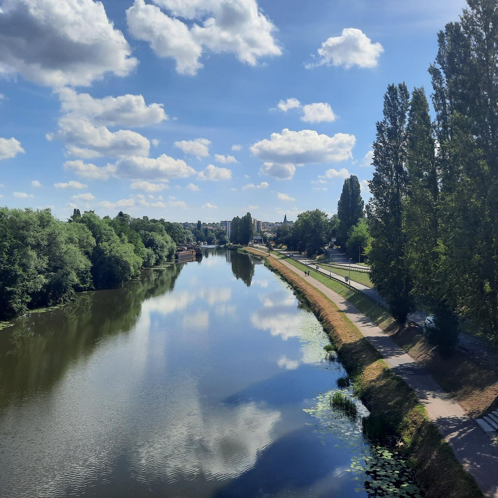
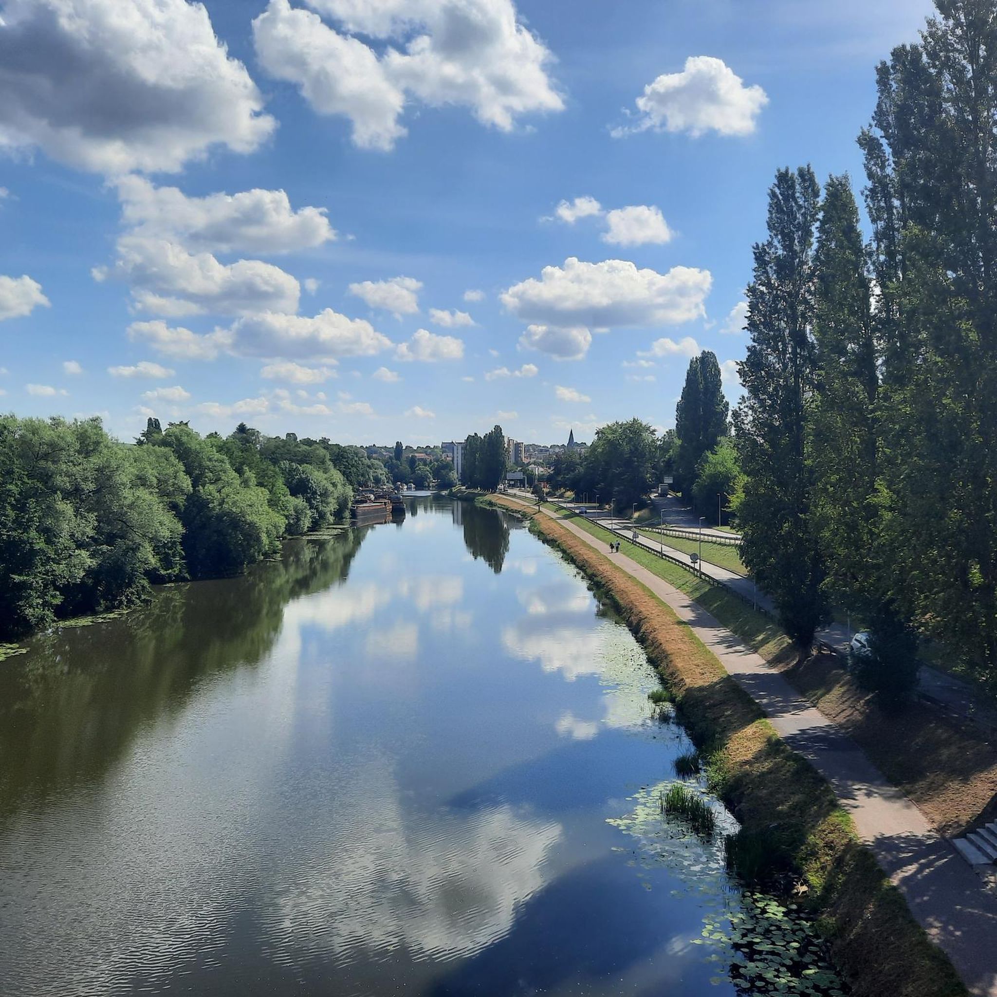
This reddish-brown wooden bridge safely crosses the Blies River and connects the hiking trails on both sides of the border. Surrounded by lush greenery, it offers an idyllic view of the river and invites you to pause for a moment. 💡 Tip: Pause for a moment in the middle of the bridge – from here, you can often spot ducks, fish, or even the shy kingfisher.
2
0

The Blies is the dominant river here and the bridge leads from D to Frk and back and connects.
1
0
Frequently Asked Questions
How many gravel bike trails are available in Buchholzerwald?
There are over 80 gravel bike trails around Buchholzerwald, offering a wide range of options for different skill levels. This includes 3 easy routes, 34 moderate routes, and 44 difficult routes, ensuring there's something for every gravel biker.
What kind of terrain can I expect on gravel bike trails in Buchholzerwald?
The Buchholzerwald area is characterized by its forested landscape, offering a mix of paved and unpaved paths. You'll encounter varied terrain, including forest tracks and country roads, which are ideal for gravel bikes designed to handle mixed surfaces.
Are there any easy gravel bike routes suitable for beginners or families?
Yes, there are 3 easy gravel bike routes in Buchholzerwald. While specific family-friendly routes aren't detailed, these easier options generally have less elevation gain and are a good starting point for those new to gravel biking or looking for a more relaxed ride.
What is the typical elevation gain on gravel bike routes in Buchholzerwald?
The elevation gain varies significantly depending on the route. For example, the difficult route Mine Wendel – La Mine, Carreau Wendel loop from Hanweiler - Bad Rilchingen features over 650 meters of elevation gain, while a moderate route like Border Bridge over the River Blies – View of Mandelbachtal loop from Hanweiler - Bad Rilchingen has around 420 meters. Expect varied climbs and descents throughout the forested landscape.
Are there any circular gravel bike routes in Buchholzerwald?
Many of the gravel bike routes in Buchholzerwald are designed as loops, allowing you to start and finish at the same point. Examples include the Mine Wendel – La Mine, Carreau Wendel loop from Hanweiler - Bad Rilchingen and the Heidenkopf Observation Tower – Pont du Passeur loop from Hanweiler - Bad Rilchingen, which are popular choices among the komoot community.
What do other gravel bikers say about the trails in Buchholzerwald?
The gravel biking routes in Buchholzerwald are highly rated by the komoot community, with an average score of 4.6 stars from over 50 reviews. Riders often praise the varied terrain and the beautiful forested landscapes that make for an engaging cycling experience.
What is the best time of year to go gravel biking in Buchholzerwald?
Gravel biking in Buchholzerwald can be enjoyed throughout much of the year. Spring and autumn offer pleasant temperatures and vibrant scenery, while summer provides longer daylight hours. Even in winter, the forest paths can be ridden, though conditions may vary and require appropriate gear.
Are there any viewpoints or natural features to look out for on the trails?
While specific named viewpoints are not extensively detailed for every route, the forested landscape of Buchholzerwald itself offers picturesque natural scenery. Routes like the Border Bridge over the River Blies – View of Mandelbachtal loop from Hanweiler - Bad Rilchingen provide views of the river and surrounding valleys, allowing riders to appreciate the natural beauty of the region.
How long are the gravel bike trails in Buchholzerwald typically?
The length of gravel bike trails in Buchholzerwald varies. You can find routes ranging from around 24 miles (39 km) like the Border Bridge over the River Blies – View of Mandelbachtal loop from Hanweiler - Bad Rilchingen, up to over 40 miles (65 km) for more challenging options such as the Mine Wendel – La Mine, Carreau Wendel loop from Hanweiler - Bad Rilchingen.
Can I access the gravel trails in Buchholzerwald using public transport?
Buchholzerwald is located near Mönchengladbach in North Rhine-Westphalia, Germany. While specific public transport connections directly to trailheads are not detailed, the proximity to a larger city suggests that public transport options to the general area are likely available, from which you might cycle to the trails.
Are there any cafes or places to eat near the gravel bike routes?
While the guide doesn't specify cafes directly on the trails, the Buchholzerwald area is situated near Mönchengladbach. This means you'll find various amenities, including cafes and restaurants, in nearby towns and villages where you can refuel before or after your ride.
What is the longest gravel bike route in the Buchholzerwald area?
Among the listed routes, the Mine Wendel – La Mine, Carreau Wendel loop from Hanweiler - Bad Rilchingen is one of the longest, covering approximately 40.8 miles (65.7 km) with significant elevation gain, making it a challenging and rewarding ride.
Are the gravel bike trails in Buchholzerwald suitable for advanced riders?
Yes, Buchholzerwald offers 44 difficult gravel bike routes that are well-suited for advanced riders. These trails often feature greater distances, more significant elevation changes, and varied technical sections, providing a good challenge for experienced gravel bikers.
Most popular routes around Buchholzerwald

Get inspired with the komoot mobile app


Explore more
Browse the best Gravel rides in other regions.
