The best gravel rides around Wollenberg
4.8
(62)
372
riders
72
rides
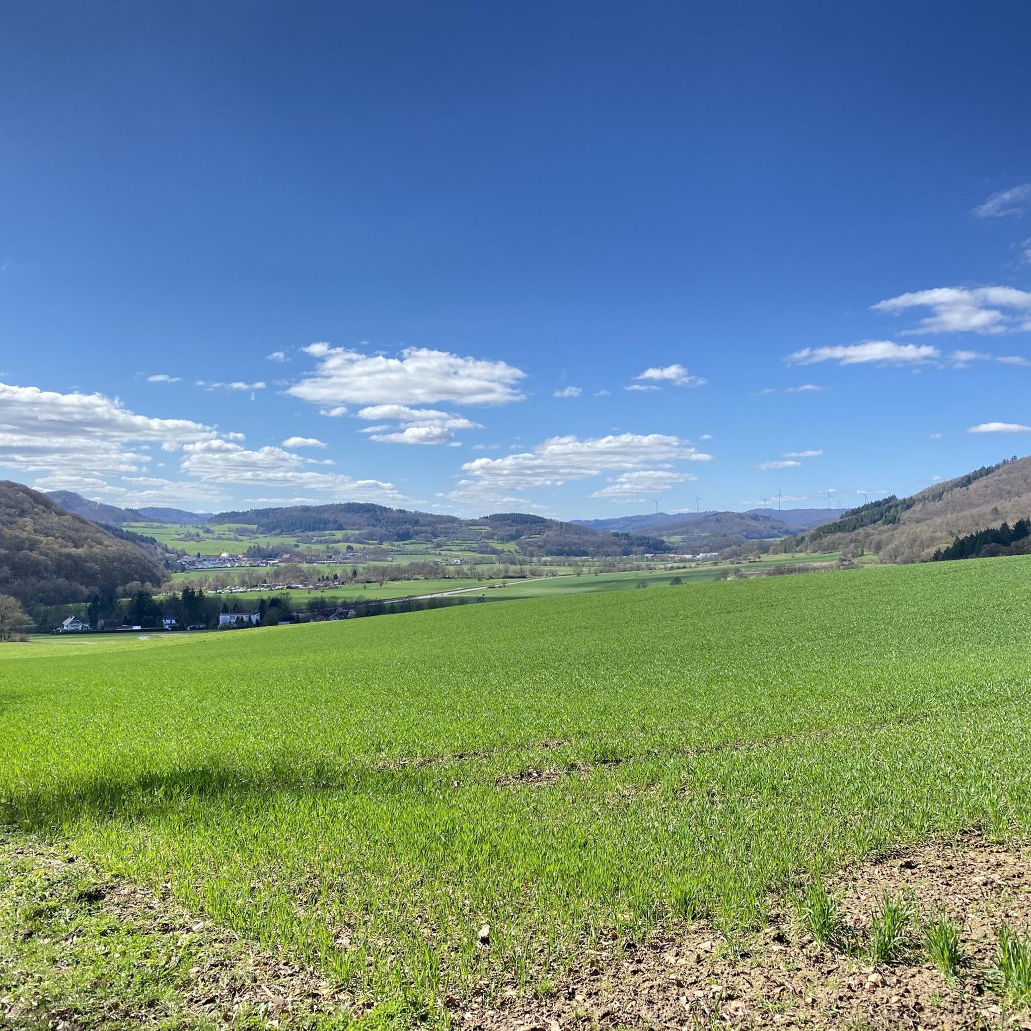
Gravel biking around Wollenberg offers diverse terrain across regions in Germany, characterized by varied landscapes suitable for mixed-surface cycling. The area features extensive trail networks through ancient beech forests, peaceful valleys, and low mountain ranges. Riders can expect a mix of tarmac, fine gravel, and root trails, providing options for different skill levels. The geographical features include hills and mountains, offering both challenging climbs and scenic routes.
Best gravel bike trails around Wollenberg
- The most popular gravel bike trail is Teepee Rest Area – Old Forest Cemetery loop from Sterzhausen, a 11.4 miles (18.4 km) trail that takes 1 hour 20 minutes to complete. This route offers a challenging experience through varied natural landscapes.
- Another top favourite among local gravel bikers is Lahn Weir at Kernbach – Rest Area at Rimberg loop from Sterzhausen, a difficult 17.0 miles (27.4 km) path. This route combines riverside sections with ascents to viewpoints.
- Local gravel bikers also love the Mellnauer Kreuz Shelter – View of Rosenthal loop from Simtshausen, a 26.1 miles (42.0 km) trail leading through forested areas, often completed in about 2 hours 40 minutes.
- Gravel biking around Wollenberg is defined by ancient beech forests, peaceful valleys, and riverside routes. The network offers options for different ability levels, from moderate paths to more difficult climbs.
- The routes in Wollenberg are highly rated by the komoot community with an average score of 4.6 stars from over 70 reviews. More than 400 gravel bikers have used komoot to explore Wollenberg's varied terrain.
Last updated: July 3, 2026
5.0
(1)
4
riders
30.1km
02:17
560m
560m
Hard gravel ride. Very good fitness required. Mostly paved surfaces. Suitable for all skill levels.
2
riders
18.4km
01:20
290m
290m
Moderate gravel ride. Good fitness required. Mostly paved surfaces. Suitable for all skill levels.

Sign up for free
3
riders
42.0km
02:40
520m
520m
Hard gravel ride. Very good fitness required. Mostly paved surfaces. Suitable for all skill levels.
1
riders
19.5km
01:33
450m
450m
Hard gravel ride. Good fitness required. You may need to push your bike for some segments of this route.
4.7
(3)
10
riders
Moderate gravel ride. Good fitness required. Mostly paved surfaces. Suitable for all skill levels.
Get access to more routes and recommendations from other explorers.
Sign up for free
Already have an account?
Our route recommendations are based on thousands of hikes, rides, and runs completed by other people on komoot.
Start today with a free account
Your next adventure awaits.
Login or Signup
Tips from the Community

From the Lahn you can get a view of the castle and the old town of Marburg. Hopefully, this will make you want to take a closer look at the alleys and half-timbered houses of this beautiful city.
0
0

The hut (August-Weide-Hütte) and Wayside Cross are approx. 100 m apart. "Bienen Triesch" (there is also a resting place there) is a large Wayside Cross with seven branches, directions see signage.
0
0

The tower simply belongs to a Marburg excursion, like the castle and the Elisabethkirche, which you can look down on wonderfully from here. But the beautiful Hinterland should not be overlooked either! With appropriate weather conditions, the sunsets up there are very beautiful.
2
0

Great viewpoint, a popular spot for both locals and tourists.
1
0


Beautifully designed rest area with signpost
0
0
Crossing is possible. Only the steps at the end are difficult.
0
0

The view of Marburg and the surrounding area from the Spiegelslust Tower is always beautiful.
3
0
Frequently Asked Questions
How many gravel bike trails are available around Wollenberg?
There are over 120 gravel bike routes around Wollenberg, offering a wide range of options for different skill levels. You'll find everything from moderate paths to more challenging climbs through varied terrain.
What kind of terrain can I expect on gravel bike routes in the Wollenberg area?
The Wollenberg region offers diverse terrain, characteristic of German landscapes. You can expect a mix of tarmac, fine gravel, and root trails. Routes often traverse ancient beech forests, peaceful valleys, and low mountain ranges, providing both challenging ascents and scenic riverside sections.
Are there any family-friendly gravel bike routes around Wollenberg?
Yes, the Wollenberg area offers routes suitable for families. While specific 'easy' routes are fewer, many 'moderate' trails feature well-maintained paths through forests and along rivers, which can be enjoyable for families with some cycling experience. Always check the route details for elevation and surface type to ensure it matches your family's ability.
What are some notable natural features or landmarks I can see while gravel biking near Wollenberg?
The region is rich in natural beauty and interesting landmarks. You might encounter unique rock formations like the Wichtelhäuser rock formation, ancient trees such as the Ancient Oak at Forsthaus Sterzhausen, or even the Hessenbank – reportedly the longest bench in Hesse, offering scenic vistas. Many routes also follow river valleys, providing picturesque views.
Are there any circular gravel bike routes in the Wollenberg area?
Yes, many gravel bike routes around Wollenberg are designed as loops, allowing you to start and end at the same point. For example, the Spiegelslust Tower and Tower Café – Cycle Path at Marburg Harbor loop from Wehrda is a popular moderate circular route combining riverside sections with ascents to viewpoints.
What is the best time of year for gravel biking around Wollenberg?
Spring, summer, and early autumn are generally the best seasons for gravel biking around Wollenberg. During these months, the weather is typically mild, and the natural landscapes are at their most vibrant. The extensive forests provide pleasant shade in summer, while autumn offers beautiful foliage. Winter riding is possible but may involve colder temperatures and potentially icy or muddy conditions on some trails.
What is the general difficulty level of gravel bike routes in Wollenberg?
The routes around Wollenberg cater to various skill levels. Out of over 120 tours, you'll find approximately 64 moderate routes and 55 difficult routes, with a few easier options. This means there are plenty of choices whether you're looking for a relaxed ride or a more challenging adventure with significant elevation changes.
Can I find cafes or pubs along the gravel bike routes in Wollenberg?
Yes, the region often features charming villages and towns with opportunities for refreshments. Routes like the Spiegelslust Tower and Tower Café – Cycle Path at Marburg Harbor loop from Wehrda specifically mention a tower café, indicating places to stop. Many routes pass through or near settlements where you can find local cafes or traditional pubs.
How long are the gravel bike trails around Wollenberg?
Trail lengths vary significantly. You can find shorter routes, such as the Old Lahn Bridge – Railway bridge over the Lahn loop from Wehrshausen at 18.0 km (11.2 miles), which takes about 1 hour 22 minutes. Longer, more challenging routes like the Hainmühle near Bürgeln – Brücker Mill loop from Warzenbach can be up to 69.7 km (43.3 miles) and take nearly 5 hours to complete.
What do other gravel bikers say about the routes in Wollenberg?
The gravel biking routes around Wollenberg are highly regarded by the komoot community, with an average rating of 4.7 out of 5 stars from over 190 reviews. Riders often praise the diverse natural landscapes, the mix of surfaces, and the well-maintained trails that make for an engaging cycling experience.
Are there any routes that feature watermills or other historical points of interest?
Yes, some routes incorporate historical or scenic points like watermills. For instance, the Dammühle Watermill and Pond – Dammühle Hotel & Restaurant loop from Wehrda is a challenging route that passes by a watermill and offers a chance to explore such features.
Can I find routes that follow river valleys in the Wollenberg area?
Absolutely. The region is characterized by peaceful valleys and riverside routes. The Railway bridge over the Lahn – Cycle Path at Marburg Harbor loop from Wehrshausen is a great example, leading through river valleys and forested areas, offering a scenic and often flatter riding experience.
Most popular routes around Wollenberg
Most popular attractions around Wollenberg

Get inspired with the komoot mobile app


Explore more
Browse the best Gravel rides in other regions.
