The best gravel rides around Oberegger Stausee
4.1
(7)
54
riders
20
rides
Gravel biking around Oberegger Stausee features routes through a designated nature reserve and bird sanctuary, offering diverse landscapes. The area is characterized by the Günz river and its reservoir, with trails often following riverbanks and dam paths. This region provides varied terrain suitable for gravel biking, integrating into a broader network of cycling paths. The natural environment ensures tranquil routes for cyclists.
Best gravel bike trails around Oberegger Stausee
- The most popular gravel bike trail is Günz Reservoir Kettershausen – Krumbach (Schwaben) loop from Krumbach (Schwaben), a 35.8 miles (57.6 km) trail that takes 3 hours 18 minutes to complete. This moderate route explores the area around the Günz Reservoir.
- Another top favourite among local gravel bikers is Kammel Cycle Path – Silver Lake loop from Taubried, a moderate 39.0 miles (62.8 km) path. This route features sections along the Kammel Cycle Path and passes the Silver Lake.
- Local gravel bikers also love the View of the Mindel Valley – Boschhorn Summit Cross loop from Krumbach (Schwaben), a 24.9 miles (40.1 km) trail leading through the Mindel Valley, often completed in about 2 hours 27 minutes.
- Gravel biking around Oberegger Stausee is defined by its nature reserve status, the Günz river, and reservoir dam paths. The network offers options for easy, moderate, and difficult ability levels.
- The routes in Oberegger Stausee are highly rated by the komoot community with an average score of 4.1 stars from more than 10 reviews. More than 50 gravel bikers have used komoot to explore Oberegger Stausee's varied terrain.
Last updated: July 2, 2026
5.0
(2)
6
riders
57.6km
03:18
380m
380m
Moderate gravel ride. Good fitness required. Mostly paved surfaces. Suitable for all skill levels.
5
riders
40.0km
02:27
360m
360m
Hard gravel ride. Good fitness required. You may need to push your bike for some segments of this route.

Sign up for free
4.0
(2)
10
riders
62.8km
03:15
220m
220m
Moderate gravel ride. Good fitness required. Mostly paved surfaces. Suitable for all skill levels.
13
riders
Moderate gravel ride. Good fitness required. Mostly paved surfaces. Suitable for all skill levels.
8
riders
Moderate gravel ride. Good fitness required. Mostly paved surfaces. Suitable for all skill levels.
Get access to more routes and recommendations from other explorers.
Sign up for free
Already have an account?
Our route recommendations are based on thousands of hikes, rides, and runs completed by other people on komoot.
Start today with a free account
Your next adventure awaits.
Login or Signup
Tips from the Community

The Krumbach city park is nice for a break on your tour.
0
0

In the past, numerous mills lined the banks of the water. There were once 24 of them on the Kammel River. One of them was located right here at the weir. First mentioned in the 15th century, it operated until 1966. Today, it generates electricity. And so, the mill wheel still turns at the Lower Mill.
0
0

The city center of Günzburg is particularly charming in good weather.
0
0
Anyone who likes cake, beer, and German pop music will be happy here.
0
0

The railway line used to be Kelmünz - Babenhausen
0
0

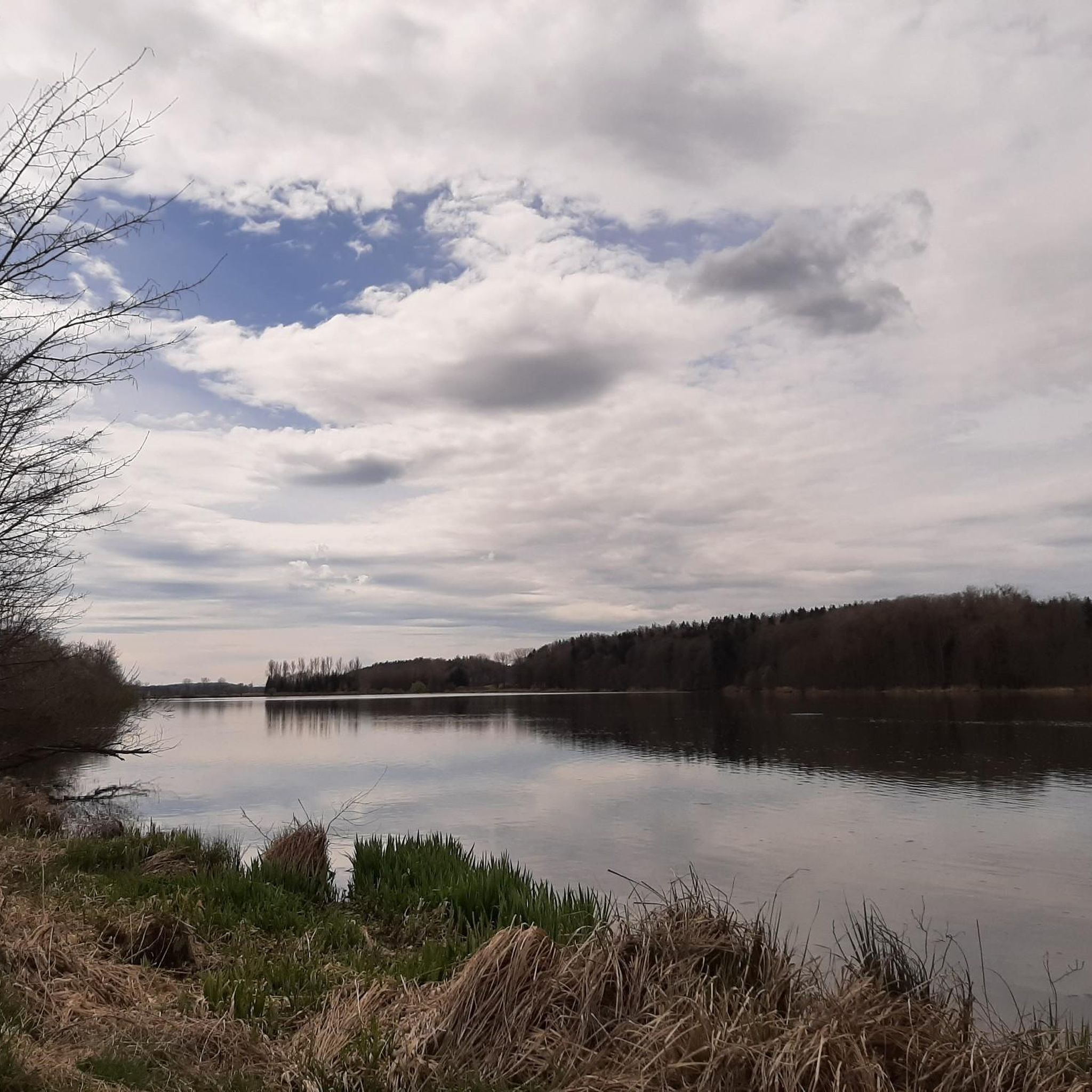
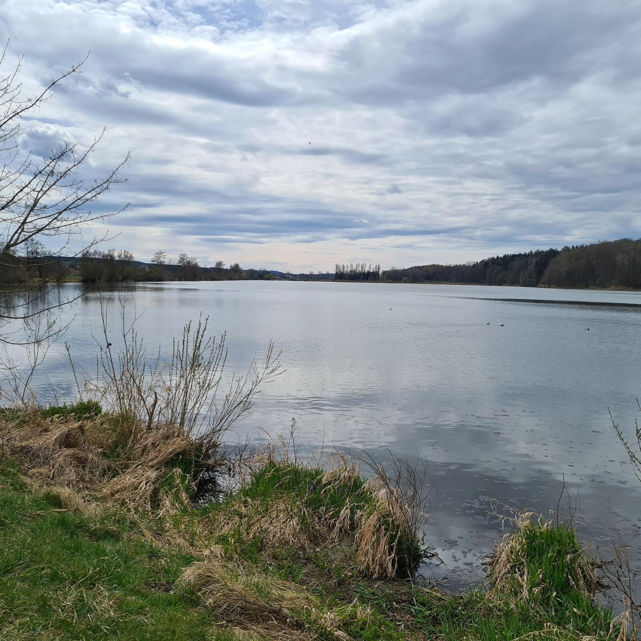
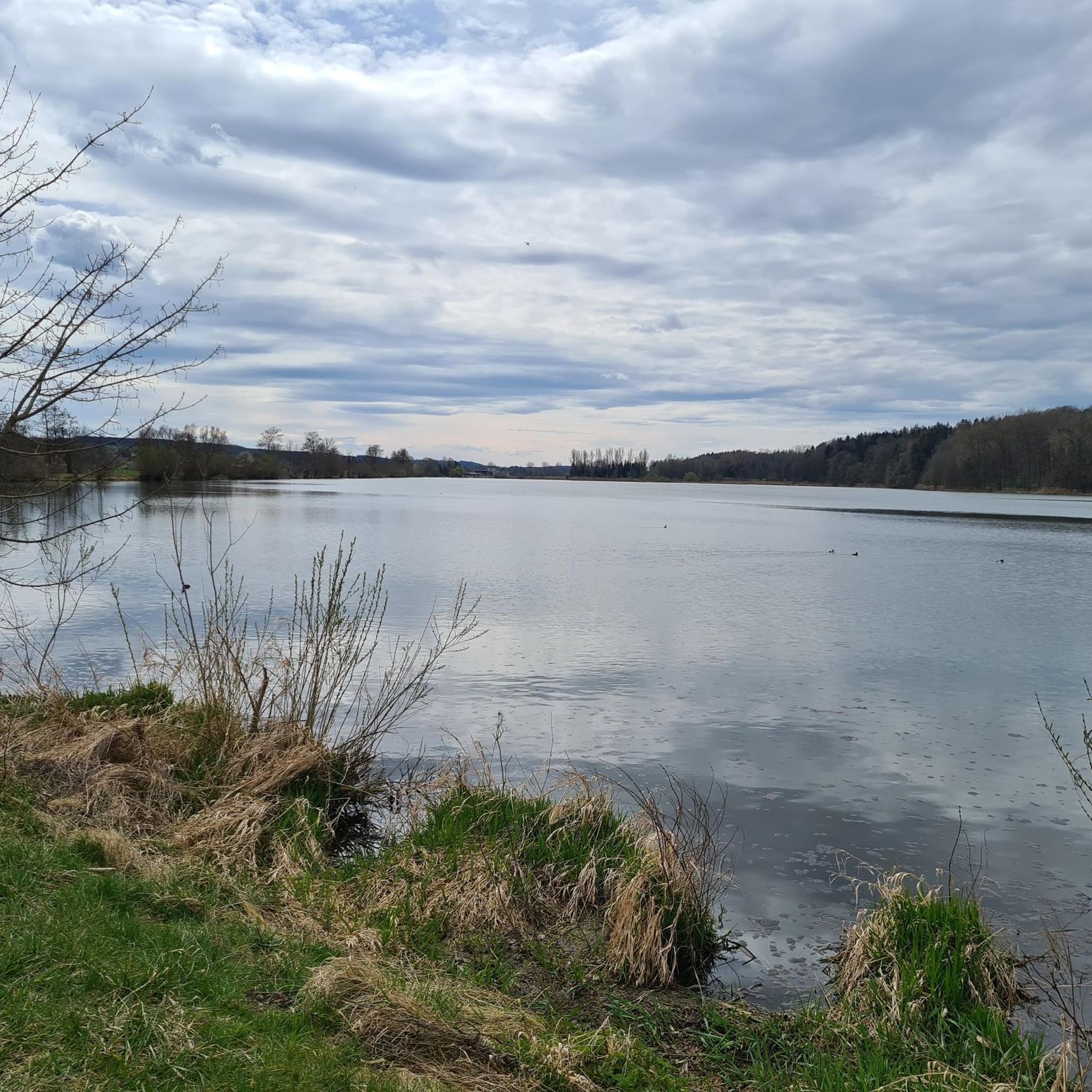
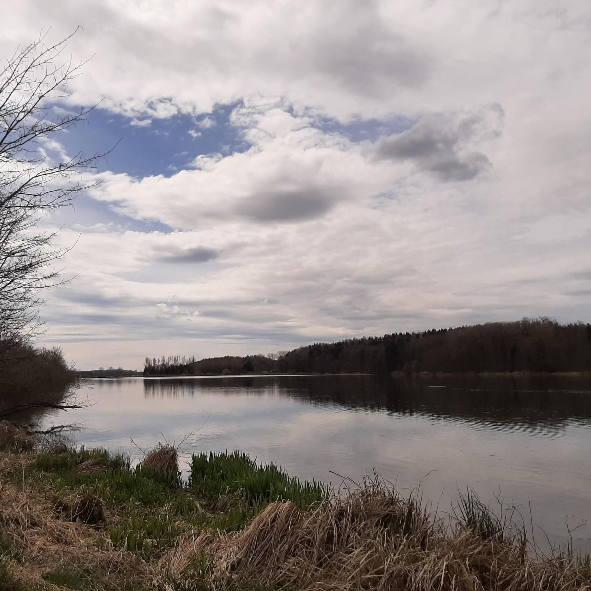
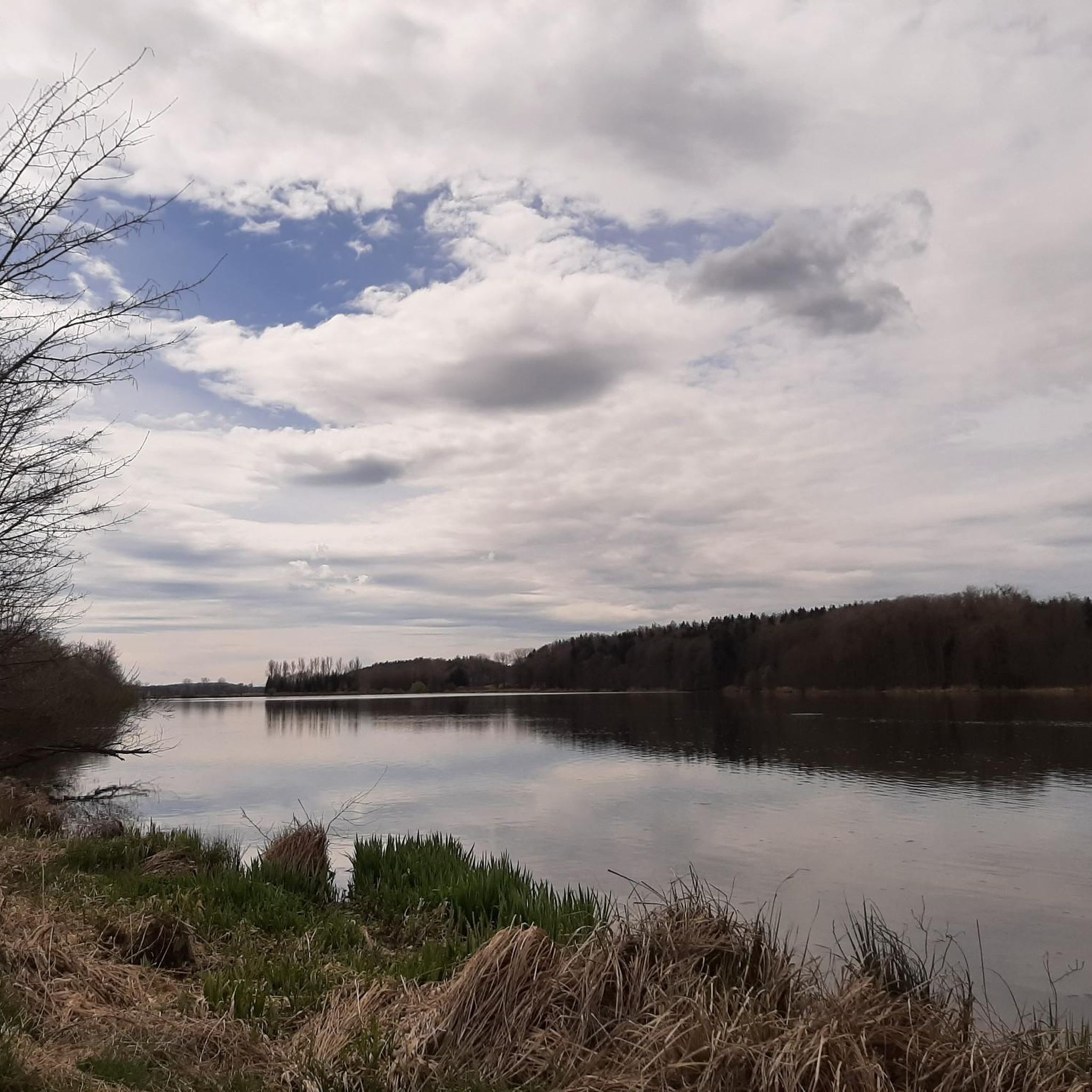
The Oberegger reservoir area is considered a true "bird paradise". During the Second World War, prisoners of war were used in the construction of the lake.
0
0
Always nice for a little apple break.
0
0

Frequently Asked Questions
What kind of terrain can I expect on gravel bike trails around Oberegger Stausee?
The terrain around Oberegger Stausee is diverse, featuring routes through a designated nature reserve and bird sanctuary. You'll find trails often following the banks of the Günz river and paths along the reservoir dam. While many surfaces are mostly paved and suitable for all skill levels, some routes might include sections that require good fitness. The protected natural environment ensures tranquil and picturesque routes.
Are there gravel bike trails suitable for beginners or families around Oberegger Stausee?
Yes, the region offers a variety of routes, including several that are suitable for beginners and families. There are 3 easy routes and 24 moderate routes, providing options for those looking for a less challenging ride. The generally well-rideable paths along the Günz river are often comfortably wide, making them suitable for a relaxed family outing.
What natural features or landmarks can I see along the gravel bike trails?
The trails around Oberegger Stausee offer beautiful natural views, especially due to its status as a bird sanctuary. You can expect to see the Oberegger Reservoir itself, and sections of the Singletrack Along the Günz. Keep an eye out for wildlife, as the area is a significant resting and breeding ground for waterfowl. You might also spot Highland cattle and swans at the pond, and enjoy views from spots like the Bench With a View of the Lake.
What do other gravel bikers enjoy most about the trails in Oberegger Stausee?
The gravel biking experience around Oberegger Stausee is highly rated by the komoot community, with an average score of 4.1 stars from more than 10 reviews. Cyclists often praise the tranquil natural environment, the diverse landscapes, and the opportunity to observe rich birdlife. The integration into a broader network of trails also allows for varied adventures.
Are there any circular gravel bike routes available?
Many of the gravel bike routes around Oberegger Stausee are designed as loops, allowing you to start and end at the same point. For example, the Günz Reservoir Kettershausen – Krumbach (Schwaben) loop from Krumbach (Schwaben) and the Kammel Cycle Path – Silver Lake loop from Taubried are popular circular options.
Can I bring my dog on the gravel bike trails around Oberegger Stausee?
As Oberegger Stausee is a designated nature reserve and bird sanctuary, it's important to respect the local wildlife. While specific regulations for dogs on trails can vary, it is generally recommended to keep dogs on a leash to protect the sensitive ecosystem and bird populations. Always check local signage for any specific restrictions.
What is the best time of year for gravel biking around Oberegger Stausee?
The area is beautiful year-round, but spring and summer offer the best opportunities for wildlife observation, especially for waterfowl, as it's a significant resting and breeding ground. The trails are generally well-maintained, making them accessible in most seasons. Always check local weather conditions before heading out.
Are there any challenging gravel bike routes for experienced riders?
Yes, among the 34 available routes, there are 7 classified as difficult, offering a challenge for experienced gravel bikers. For instance, the View of the Mindel Valley – Boschhorn Summit Cross loop from Krumbach (Schwaben) is a difficult 40.1 km trail that leads through the Mindel Valley.
Where can I find parking for gravel biking near Oberegger Stausee?
While specific parking areas are not detailed, the region around Oberegger Stausee is integrated into a broader cycling network, suggesting accessibility. Look for designated parking areas in nearby towns like Krumbach (Schwaben) or Taubried, which serve as common starting points for many routes. Always ensure you park legally and considerately.
Are there any cafes or places to stop for refreshments along the gravel bike routes?
The guide does not specify cafes or pubs directly on the trails. However, given that many routes start from or pass through towns like Krumbach (Schwaben), you will likely find refreshment options there. Planning your route to include stops in these towns is advisable for coffee or a meal.
How long do gravel bike tours typically take around Oberegger Stausee?
Tour durations vary depending on the route and your pace. For example, the Günz Reservoir Kettershausen – Krumbach (Schwaben) loop, a moderate 57.6 km trail, typically takes around 3 hours 18 minutes. Shorter routes, like the 40.1 km View of the Mindel Valley – Boschhorn Summit Cross loop, can be completed in about 2 hours 27 minutes.
What is the longest gravel bike route in the area?
One of the longer routes you can explore is the Kammel Cycle Path – Silver Lake loop from Taubried, which covers 62.8 km. This moderate path features sections along the Kammel Cycle Path and passes the Silver Lake, offering a substantial ride.
Most popular routes around Oberegger Stausee
Most popular attractions around Oberegger Stausee

Get inspired with the komoot mobile app


Explore more
Browse the best Gravel rides in other regions.
