The best gravel rides around Harmatinger Weiher
4.4
(92)
460
riders
38
rides
Gravel biking around Harmatinger Weiher offers a diverse natural landscape characterized by a network of trails and scenic water bodies. The region features primarily gravel forest roads, with some sections requiring moderate riding ability, making it suitable for gravel bikes with tire widths of 38mm or more. This area is part of the "Ickinger-Weiher-Round," which includes multiple lakes and minimal asphalt sections, providing a sporting challenge. The terrain includes varied topography with forests, rivers, and some climbs.
Best gravel bike trails around Harmatinger Weiher
- The most popular gravel bike trail is View of the Alps – Isar Cycle Path loop from Wolfratshauser Forst, a 36.1 miles (58.1 km) difficult trail that takes 3 hours 10 minutes to complete. This route navigates through riverine landscapes and forests.
- Another top favourite among local gravel bikers is Mouth of the Loisach-Isar Canal – Isar loop loop from Ascholding, an easy 13.8 miles (22.2 km) path. This trail offers varied scenery along the Loisach Canal and through surrounding natural areas.
- Local gravel bikers also love the Königsdorf Church Dome View – Moorland Path in Upper Bavaria loop from Geretsried, a 22.0 miles (35.4 km) trail leading through moorland and forests, often completed in about 2 hours 4 minutes.
- Gravel biking around Harmatinger Weiher is defined by interconnected ponds, the Isar river, and extensive forests. The network offers options for different ability levels, from easy paths to more challenging routes.
- The routes in Harmatinger Weiher are highly rated by the komoot community with an average score of 4.2 stars from over 75 reviews. More than 400 gravel bikers have used komoot to explore Harmatinger Weiher's varied terrain.
Last updated: July 2, 2026
5.0
(1)
23
riders
Hard gravel ride. Good fitness required. You may need to push your bike for some segments of this route.
4.3
(3)
21
riders
22.2km
01:10
110m
110m
Easy gravel ride. Great for any fitness level. Mostly paved surfaces. Suitable for all skill levels.

Sign up for free
3.0
(2)
7
riders
Moderate gravel ride. Good fitness required. Mostly paved surfaces. Suitable for all skill levels.
5.0
(1)
8
riders
28.4km
01:29
120m
120m
Easy gravel ride. Great for any fitness level. Mostly paved surfaces. Suitable for all skill levels.
4.8
(5)
18
riders
47.6km
02:47
500m
500m
Hard gravel ride. Very good fitness required. Mostly paved surfaces. Suitable for all skill levels.
Get access to more routes and recommendations from other explorers.
Sign up for free
Already have an account?
Our route recommendations are based on thousands of hikes, rides, and runs completed by other people on komoot.
Start today with a free account
Your next adventure awaits.
Login or Signup
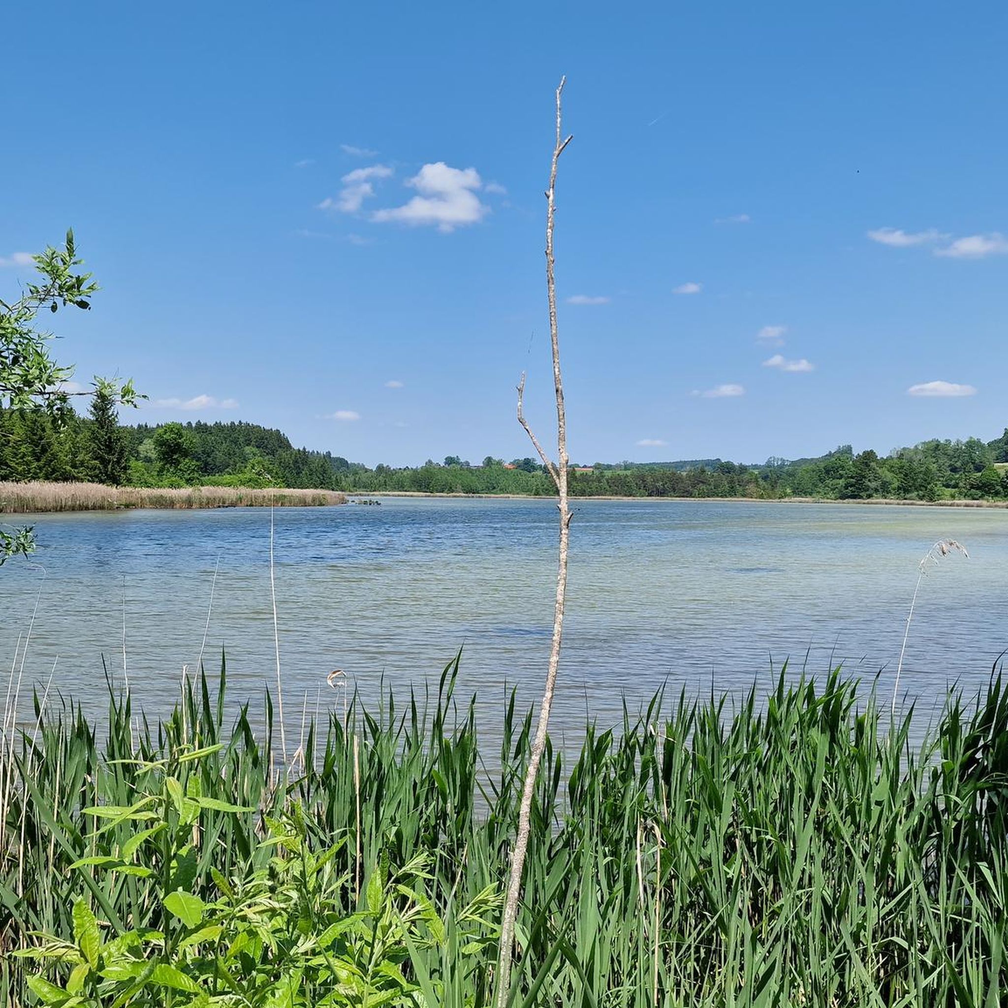
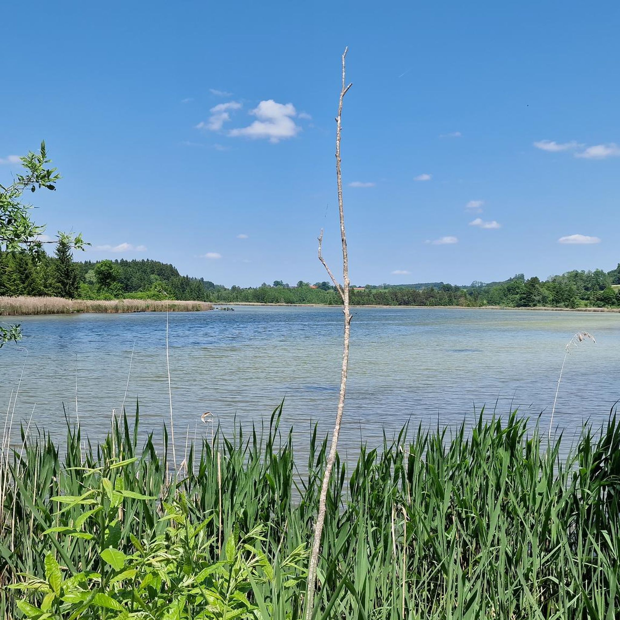
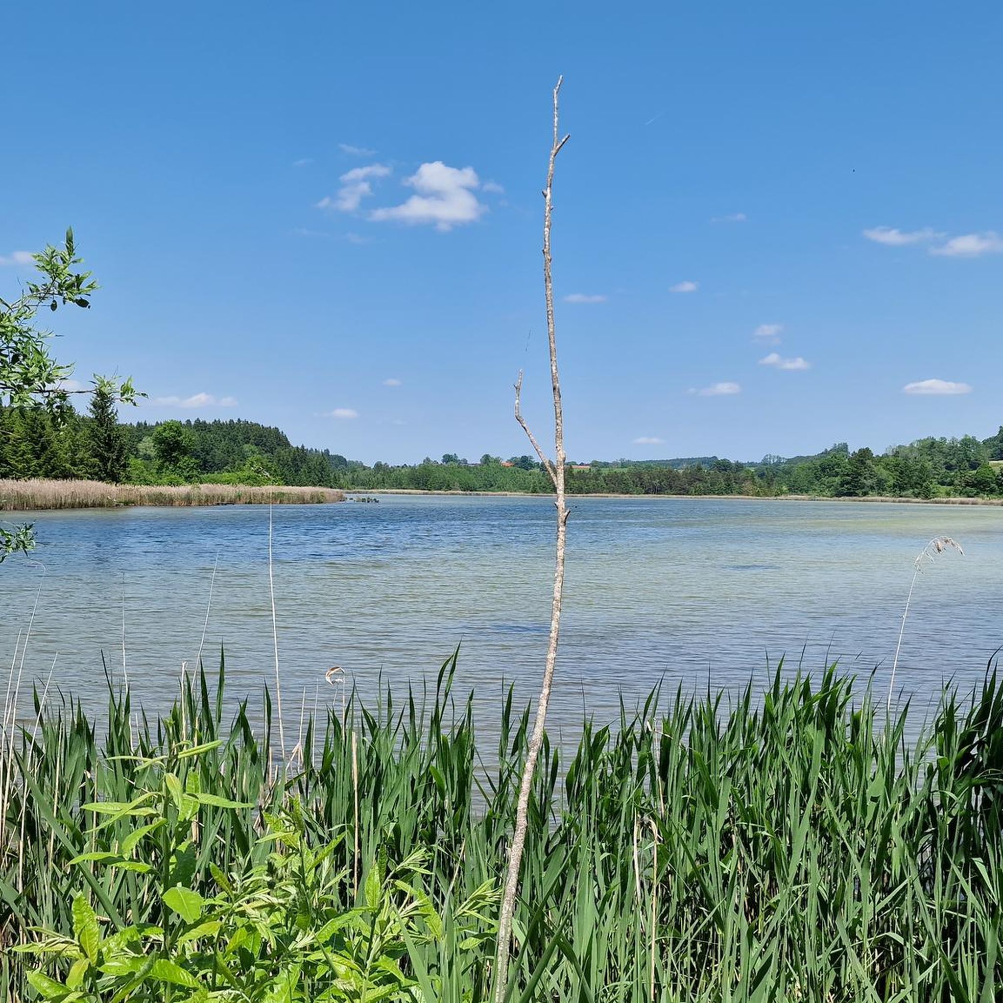
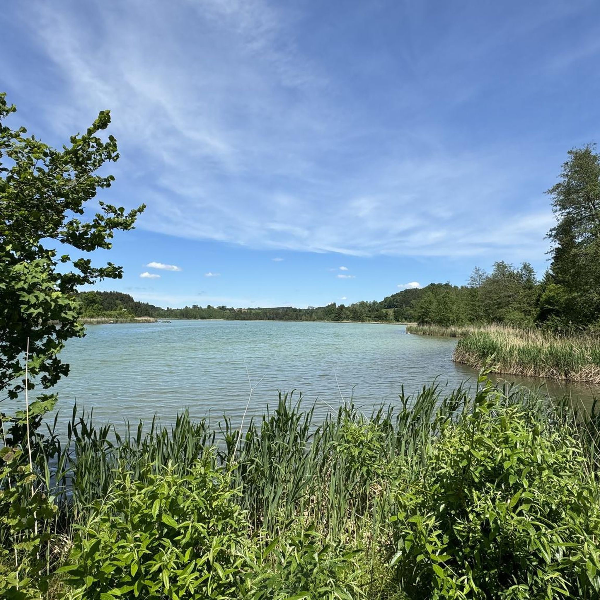
Tips from the Community

Here there are wonderful views of the Isar
4
0
Here you can enjoy a great view of the river
10
0


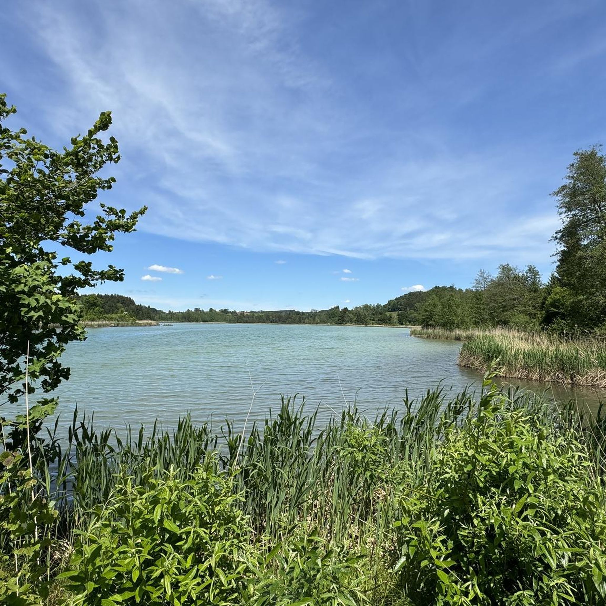
Beautiful lake with a great hiking trail - a trip there is worthwhile 👍
0
0

Great paths along the Isar River
0
0

Barely used road with great Alpine views
0
0
Great view of the foothills of the Alps
0
0

Beautiful view of the landscape near Königsdorf
1
0
Frequently Asked Questions
What kind of terrain can I expect on gravel bike trails near Harmatinger Weiher?
The region around Harmatinger Weiher offers a diverse mix of terrain, primarily featuring gravel forest roads with minimal asphalt sections. You'll encounter varied topography including extensive forests, riverine landscapes like the Pupplinger Au near the Isar, and some climbs such as the Veiglberg. Moorland areas, like the Deininger Moor, also add to the scenic diversity. The trails are generally well-suited for gravel bikes, with some sections requiring moderate riding ability.
What tire width is recommended for gravel biking in this area?
For the best experience on the varied terrain around Harmatinger Weiher, it is recommended to use gravel bikes with tire widths of 38mm or more. This will provide optimal grip and comfort on the gravel forest roads and natural paths.
Are there gravel bike routes suitable for beginners or those looking for an easier ride?
Yes, among the 66 gravel bike routes available, 14 are classified as easy. An example of an easier route is the Mouth of the Loisach-Isar Canal – Isar loop loop from Ascholding, which is 13.8 miles (22.2 km) long and features less elevation gain, making it a good option for a more relaxed ride.
Are there challenging routes for experienced gravel bikers around Harmatinger Weiher?
Absolutely. For experienced gravel bikers seeking a challenge, there are 15 difficult routes available. A notable option is the Isar Cycle Path – Isar riverbank in Bad Tölz loop from Wolfratshauser Forst, a 35.9 miles (57.8 km) trail with significant elevation changes that navigates through riverine landscapes and forests, typically taking over 4 hours to complete.
What natural features or landmarks can I see along the gravel bike trails?
The gravel bike trails around Harmatinger Weiher are rich in natural beauty. You'll encounter numerous picturesque water bodies, including Harmatinger Weiher itself, Siegertshofer Weiher, Mooshamer Weiher, and Thanninger Weiher, which are part of a larger 'Weiher-Round'. Routes often follow the Isar river, passing through the natural floodplain of the Pupplinger Au. You'll also ride through extensive forests and experience climbs like the Veiglberg, offering varied topography and scenic views.
What do other gravel bikers enjoy the most about gravel biking in Harmatinger Weiher?
The area is highly rated by the komoot community, with an average score of 4.3 stars from over 130 reviews. Reviewers often praise the diverse natural landscape, the network of gravel forest roads with minimal asphalt, and the scenic water bodies. The blend of sporting challenge and natural beauty, along with options for different ability levels, is frequently highlighted.
Are there any loop gravel bike routes available?
Yes, many of the gravel bike routes around Harmatinger Weiher are designed as loops, allowing you to start and end at the same point. For example, the popular Loisach Canal – Loisachweg Bridge loop from Ascholding offers varied scenery along the Loisach Canal and through surrounding natural areas.
Is the Harmatinger Weiher area suitable for family-friendly gravel cycling?
While some routes require moderate riding ability, there are 14 easy routes that could be suitable for families, depending on their experience level. These routes generally feature less challenging terrain and elevation. Always check the specific route details on komoot for distance and difficulty to ensure it matches your family's capabilities.
Are the gravel trails around Harmatinger Weiher dog-friendly?
Many natural trails in the region are generally accessible for dogs, especially if they are well-behaved and kept on a leash. However, specific rules can vary depending on the exact location within forests or nature reserves. It's always advisable to check local signage and regulations along your chosen route to ensure a pleasant experience for both you and your dog.
What is the best time of year for gravel biking around Harmatinger Weiher?
The region is enjoyable for gravel biking across multiple seasons. Spring and autumn offer pleasant temperatures and vibrant natural colors, making them ideal. Summer is also popular, though some trails might be busier. While winter biking is possible, trail conditions can vary significantly with snow and ice, so it's essential to check current conditions before heading out.
Are there cafes or pubs near the gravel bike trails for a break?
The region around Harmatinger Weiher is dotted with smaller towns and villages where you can find local cafes, pubs, and restaurants. While specific establishments are not directly on every trail, planning your route to pass through places like Ascholding or Geretsried will offer opportunities for refreshments and breaks.
How can I reach the Harmatinger Weiher gravel trails by public transport?
Public transport options to the Harmatinger Weiher area typically involve regional train services to nearby towns, followed by local bus connections or a short ride to the trailheads. For example, towns like Wolfratshausen or Geretsried may serve as good starting points with public transport access. It's recommended to check current train and bus schedules for the most up-to-date information on reaching your desired starting point.
Most popular routes around Harmatinger Weiher

Get inspired with the komoot mobile app


Explore more
Browse the best Gravel rides in other regions.
