The best gravel rides around Dam Falkenstein
4.5
(19)
91
riders
35
rides
Gravel biking around Dam Falkenstein features a landscape characterized by reservoirs, dense woodlands, and varied elevation changes. The region offers a mix of challenging climbs and scenic paths suitable for gravel bikes. Terrain often includes forest roads, gravel tracks, and some paved sections connecting natural areas. The area is defined by its water bodies and surrounding hilly terrain, providing diverse riding experiences.
Best gravel bike trails around Dam Falkenstein
- The most popular gravel bike trail is Falkenstein Reservoir – Talsperre…
Last updated: July 16, 2026
4.7
(3)
6
riders
33.2km
02:16
460m
460m
Hard gravel ride. Very good fitness required. Mostly paved surfaces. Suitable for all skill levels.
4.3
(4)
8
riders
30.7km
02:07
460m
460m
Hard gravel ride. Very good fitness required. Mostly paved surfaces. Suitable for all skill levels.

Sign up for free
5.0
(1)
5
riders
Moderate gravel ride. Good fitness required. Mostly paved surfaces. Suitable for all skill levels.
3.0
(1)
5
riders
26.6km
01:36
320m
320m
Moderate gravel ride. Good fitness required. Mostly paved surfaces. Suitable for all skill levels.
4.5
(2)
5
riders
47.9km
03:12
870m
870m
Hard gravel ride. Very good fitness required. Mostly paved surfaces. Suitable for all skill levels.
Get access to more routes and recommendations from other explorers.
Sign up for free
Already have an account?
Our route recommendations are based on thousands of hikes, rides, and runs completed by other people on komoot.
Start today with a free account
Your next adventure awaits.
Login or Signup
Tips from the Community

Always good for a snack and a drink
0
0

whether by bike, on foot or in winter with cross-country skis, a stop for refreshment and to boost well-being is always worthwhile.
0
0

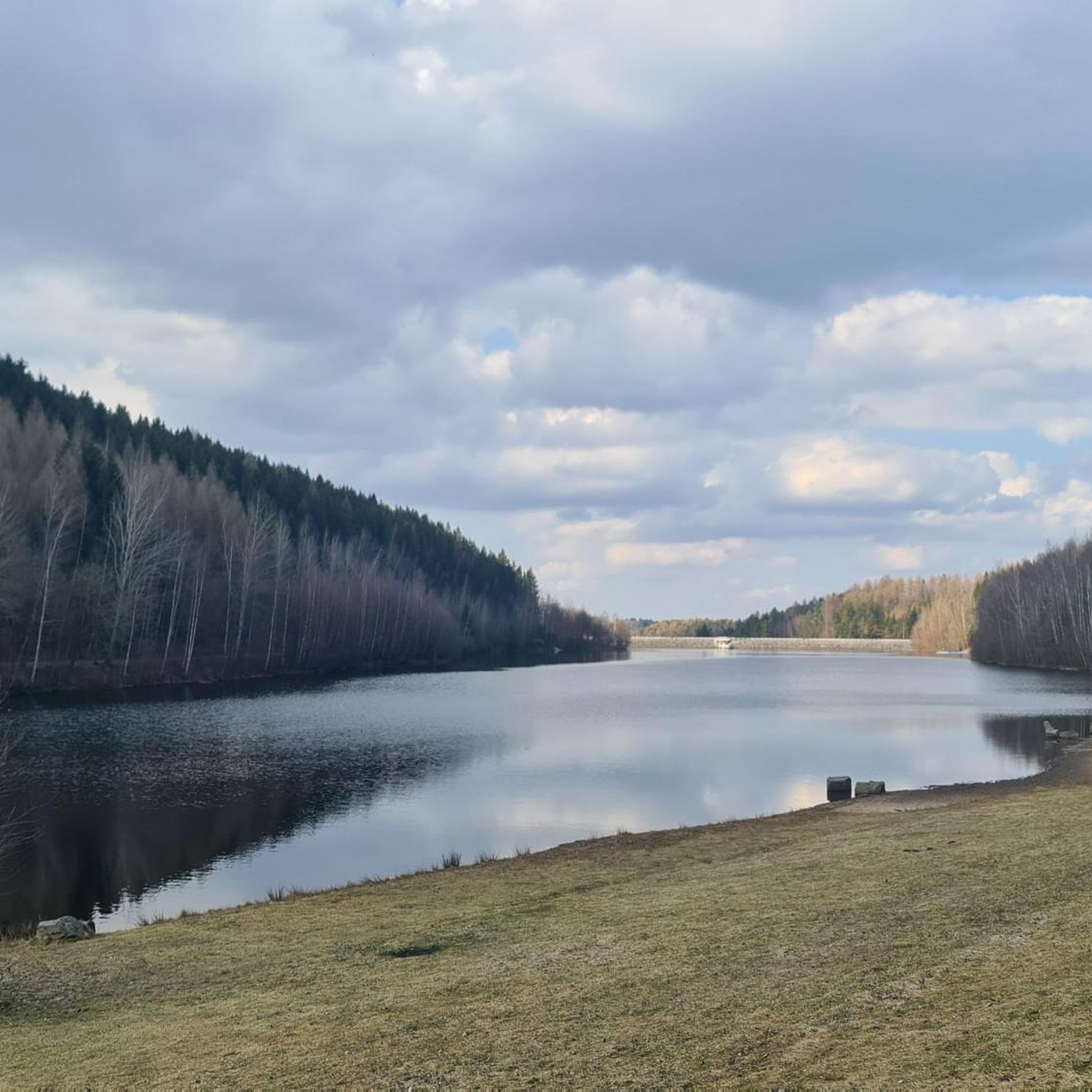
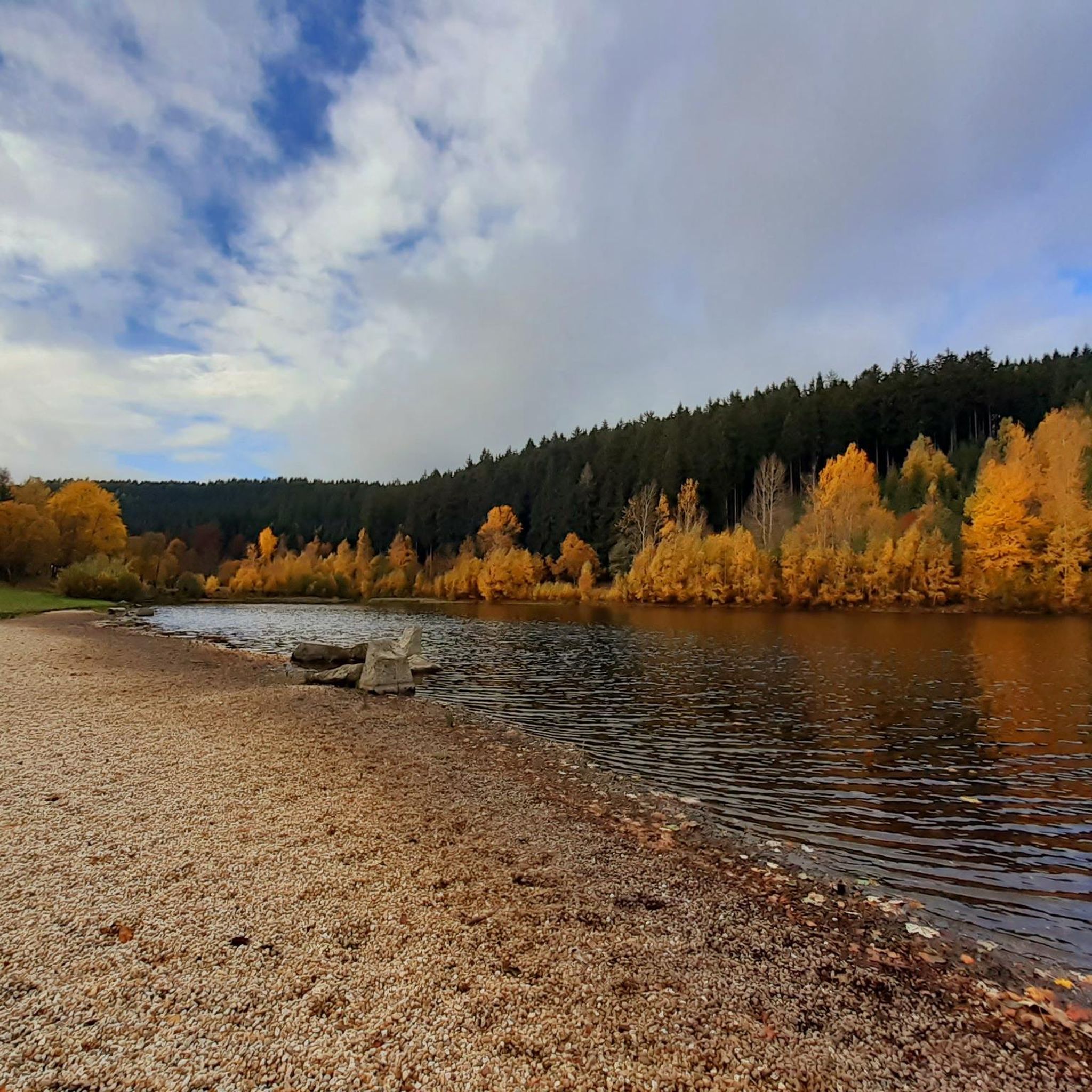
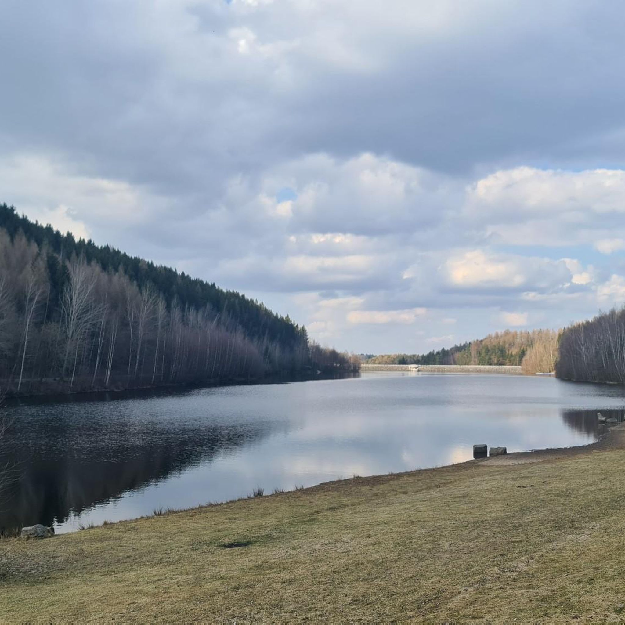
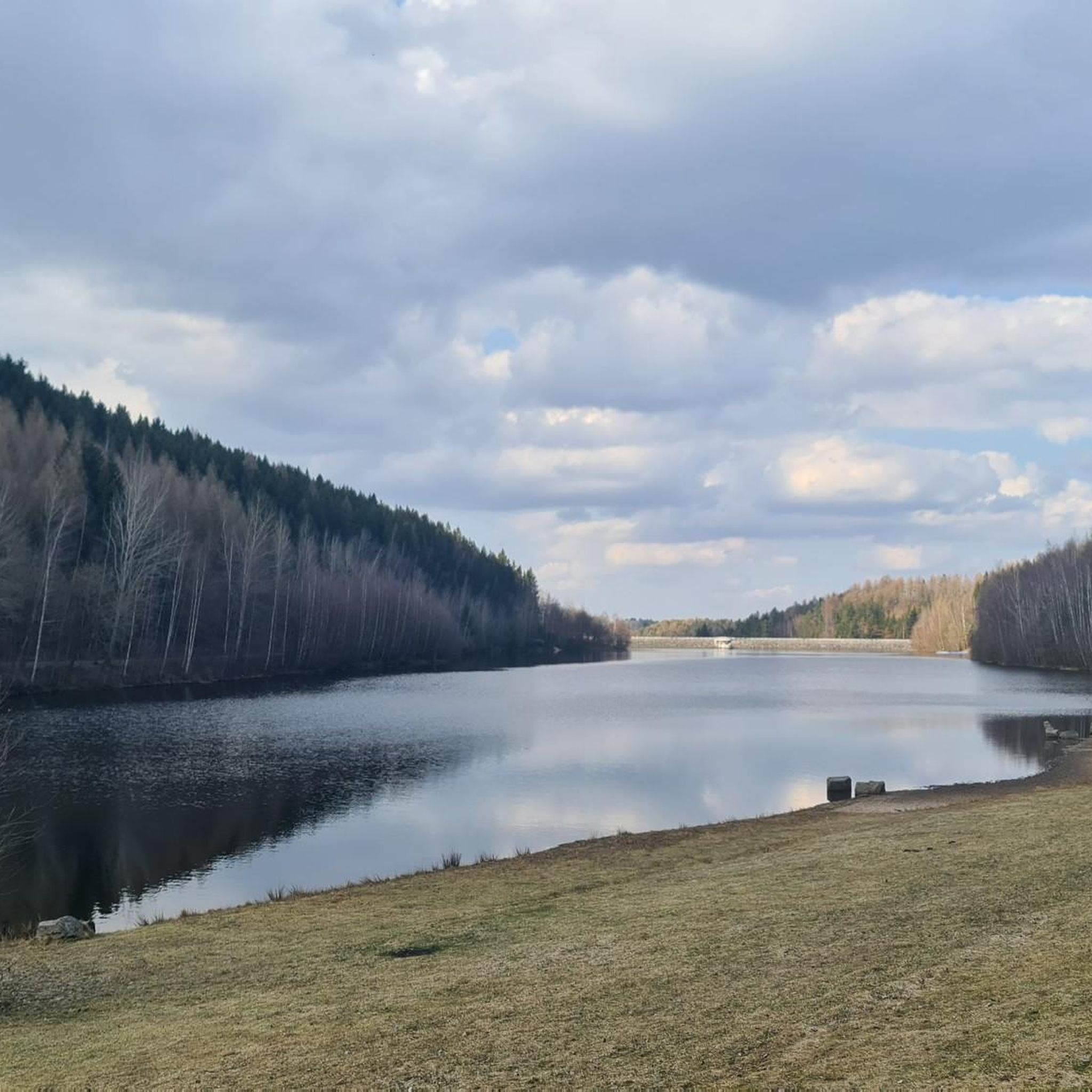
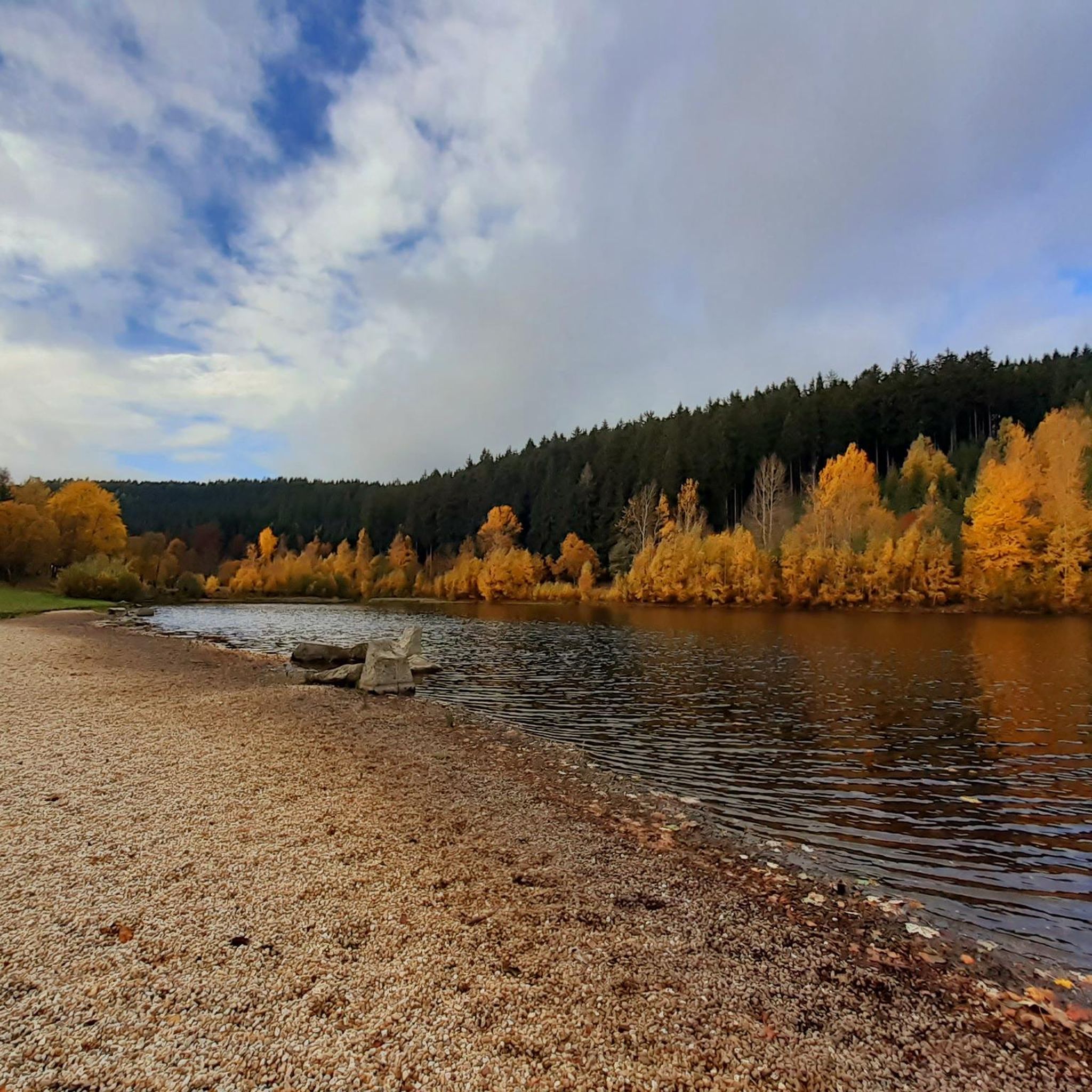
Originally built in the 1970s for domestic water supply, the reservoir is now a local recreation area. It is an EU-approved bathing water with a forebay as a children's paddling pool. Additionally, rowing boats can be rented during the summer months. Two snack bars are open in the summer.
12
0

Here there is a refrigerator with inexpensive drinks for hikers and cyclists on a self-service basis.
0
0

Interesting information panels about the Muldenberg Dam. Here you can learn about the history of the facility, rehabilitation measures, and drinking water protection.
0
0

The Maidens of Breitenstein and Röthelstein In ancient times, two nasty old maidens are said to have been banished here from Ellefeld. They still cause mischief in this area. Sometimes they ride in fiery carriages, drawn by similar horses, in a wide arc from Breitenstein over the Gahlenbach stream to Röthelstein. The Röthelstein opens its gate, through which the evil women disappear again. Often, the female figures in black clothing can be seen strolling around the rock, playing their pranks. Sometimes, the most beautiful silver and copper coins can be found there. If picked up and put in a pocket, they inexplicably disappear. It is also said that on the morning of the first Easter holiday, the Maidens of Röthelstein dance.
0
0

We like to stop here for a swim 🏊♀️!
0
0

Unfortunately no longer in operation
0
0
Frequently Asked Questions
What is the general difficulty level of gravel biking trails around Dam Falkenstein?
The gravel biking trails around Dam Falkenstein offer a mix of challenges. While there is one easy route, the majority of the 44 available tours are either moderate (17 routes) or difficult (26 routes), featuring varied elevation changes and terrain.
Are there any beginner-friendly gravel bike routes in the Dam Falkenstein area?
Yes, for beginners or those looking for a less strenuous ride, there is one easy gravel bike route available. Most routes, however, lean towards moderate or difficult, so it's advisable to check the route details before heading out.
What are some challenging gravel bike routes for experienced riders in Dam Falkenstein?
Experienced riders will find plenty of challenging options, with 26 difficult routes available. A notable difficult route is the Falkenstein Reservoir – Talsperre Falkenstein Dam View loop from Falkenstein, which covers 20.5 miles (33.0 km) with significant elevation changes and expansive views. Another challenging option is the Röthelstein Rock Formation – Riss Falls loop from Ellefeld, navigating through natural rock formations.
What is the typical length of gravel bike trails in the Dam Falkenstein region?
The gravel bike trails in the Dam Falkenstein region vary in length, but many popular routes are between 16 to 21 miles (26 to 34 km). For example, the Muldenberg Reservoir – Muldenberg Dam loop from Grünbach is 16.4 miles (26.5 km), while the Falkenstein Reservoir – Talsperre Falkenstein Dam View loop from Falkenstein is 20.5 miles (33.0 km).
Are there any circular gravel bike routes around Dam Falkenstein?
Yes, many of the gravel bike routes in the Dam Falkenstein area are designed as loops, offering convenient circular rides. Examples include the Falkenstein Reservoir – Talsperre Falkenstein Dam View loop from Falkenstein and the Muldenberg Reservoir – Muldenberg Dam loop from Grünbach.
What can I see along the gravel bike trails around Dam Falkenstein?
The trails often feature scenic views of reservoirs and dense woodlands. You can explore highlights such as the Falkenstein Reservoir and the Pier at Talsperre Muldenberg. Some routes also pass by natural rock formations and offer views of waterfalls like Riss Falls.
Are there any good viewpoints along the gravel bike routes?
Yes, the region offers several viewpoints. The Falkenstein Reservoir – Talsperre Falkenstein Dam View loop from Falkenstein provides expansive views of the reservoir. You can also find a dedicated View of Falkenstein with Church of the Holy Cross and Town Hall, which is a popular highlight in the area.
Are there places to stop for refreshments or food near the gravel trails?
Yes, you can find places to stop for refreshments. For instance, the Körner's Snack Bar at the Falkenstein Reservoir is a convenient spot located directly at the Falkenstein Reservoir, which is a central feature of many routes.
What do other gravel bikers enjoy most about the Dam Falkenstein area?
The Dam Falkenstein area is highly rated by the komoot community, with an average score of 4.4 stars from over 10 reviews. Riders often praise the diverse riding experiences, including reservoir views, forest paths, and varied elevation, which cater to different ability levels.
What kind of terrain can I expect on the gravel bike trails?
The terrain around Dam Falkenstein is characterized by a mix of forest roads, gravel tracks, and some paved sections that connect natural areas. You'll encounter varied elevation changes, from challenging climbs to scenic paths, all set within a landscape of reservoirs and dense woodlands.
Is there a route that explores water wheels or historical waterways?
Yes, for those interested in historical waterways, the Kielfloßgraben Water Wheel – Floßgraben Water Wheel loop from Grünbach is a moderate 21.0 miles (33.9 km) route that specifically highlights water wheels and the Floßgraben waterway.
Are there any routes that connect multiple reservoirs?
Yes, some routes are designed to connect multiple water bodies. For example, the Schönheide reservoir – Carolagrün Reservoir loop from Ellefeld is a difficult 19.3 miles (31.0 km) route that takes you past two different reservoirs, offering continuous water views.
Most popular routes around Dam Falkenstein
Most popular attractions around Dam Falkenstein

Get inspired with the komoot mobile app


Explore more
Browse the best Gravel rides in other regions.
