The 20 Most Amazing Peaks around Bad Überkingen
Best mountain peaks around Bad Überkingen are found within the central foothills of the Swabian Jura, a landscape characterized by white Jurassic cliffs, rolling hills, and valleys. While not featuring towering peaks, the area offers notable elevations and rock formations that provide expansive views. This region is a destination for hikers and nature enthusiasts seeking diverse natural experiences. Its unique geological features and rich biodiversity make it a compelling area to explore.
Best mountain peaks around Bad Überkingen
- The most…
Last updated: July 7, 2026
Hohenstaufen Castle Ruins and Viewpoint
Highlight • Castle
Translated by Google •
Tip by

Haarberg summit cross
Highlight • Viewpoint
Translated by Google •
Tip by

Sign up now to discover places like this
Get recommendations on the best single tracks, peaks, & plenty of other exciting outdoor places.
Sign up for free
View from Messelberg
Highlight • Viewpoint
Translated by Google •
Tip by

Ostlandkreuz and view over Geislingen
Highlight • Monument
Translated by Google •
Tip by

Lonetopf (Source of the Lone River)
Highlight • Natural Monument
Translated by Google •
Tip by

Sign up for free to discover even more peaks around Bad Überkingen.
Sign up for free
Already have an account?
Start today with a free account
Your next adventure awaits.
Login or Signup
Popular around Bad Überkingen
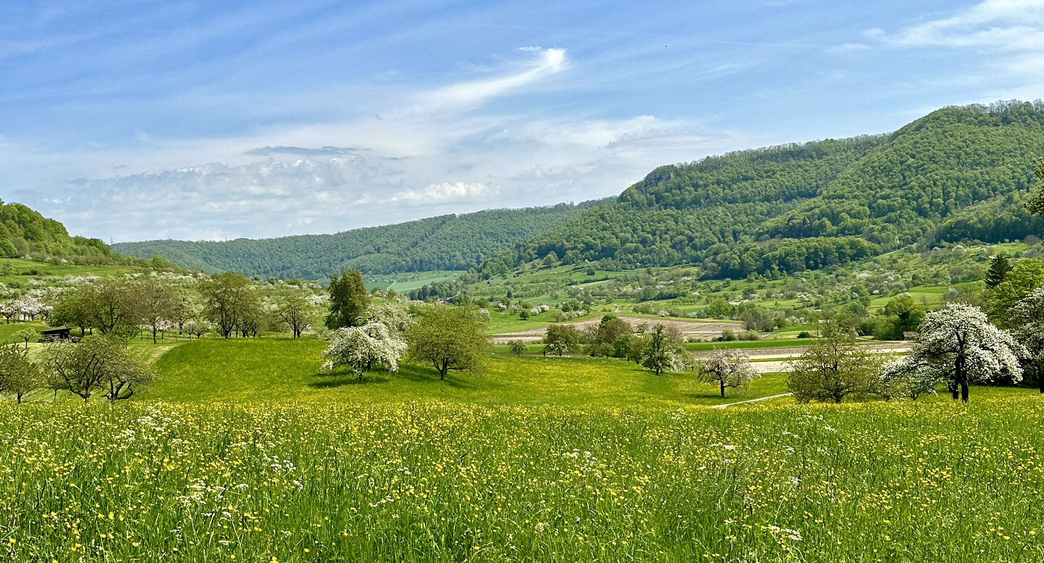
Blossom walks in the Swabian Alb
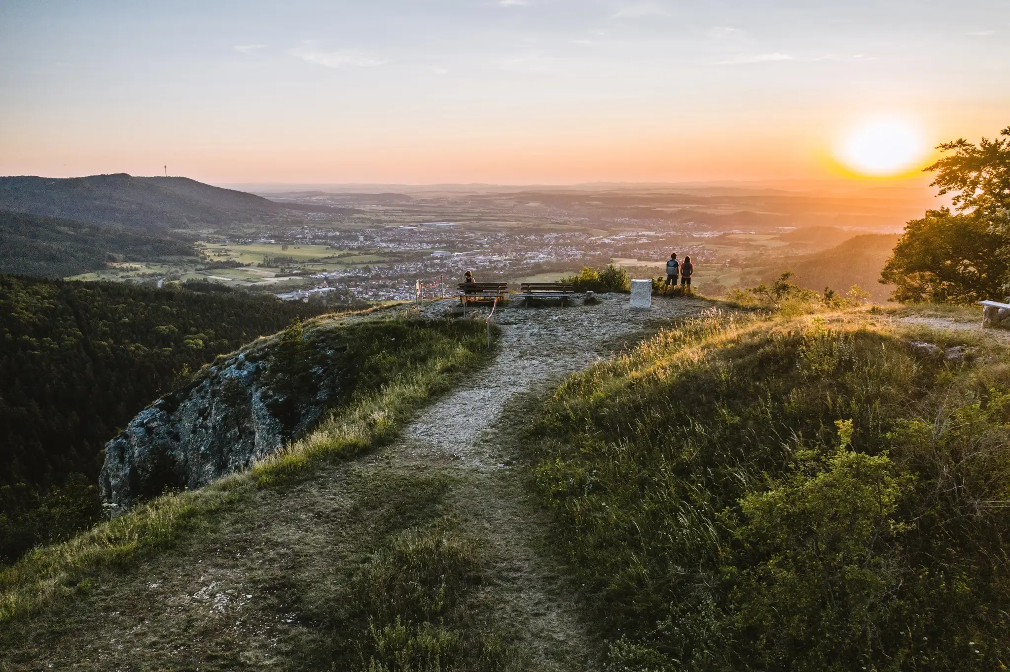
Discover the fascinating rocks and caves of Germany’s Swabian Alb
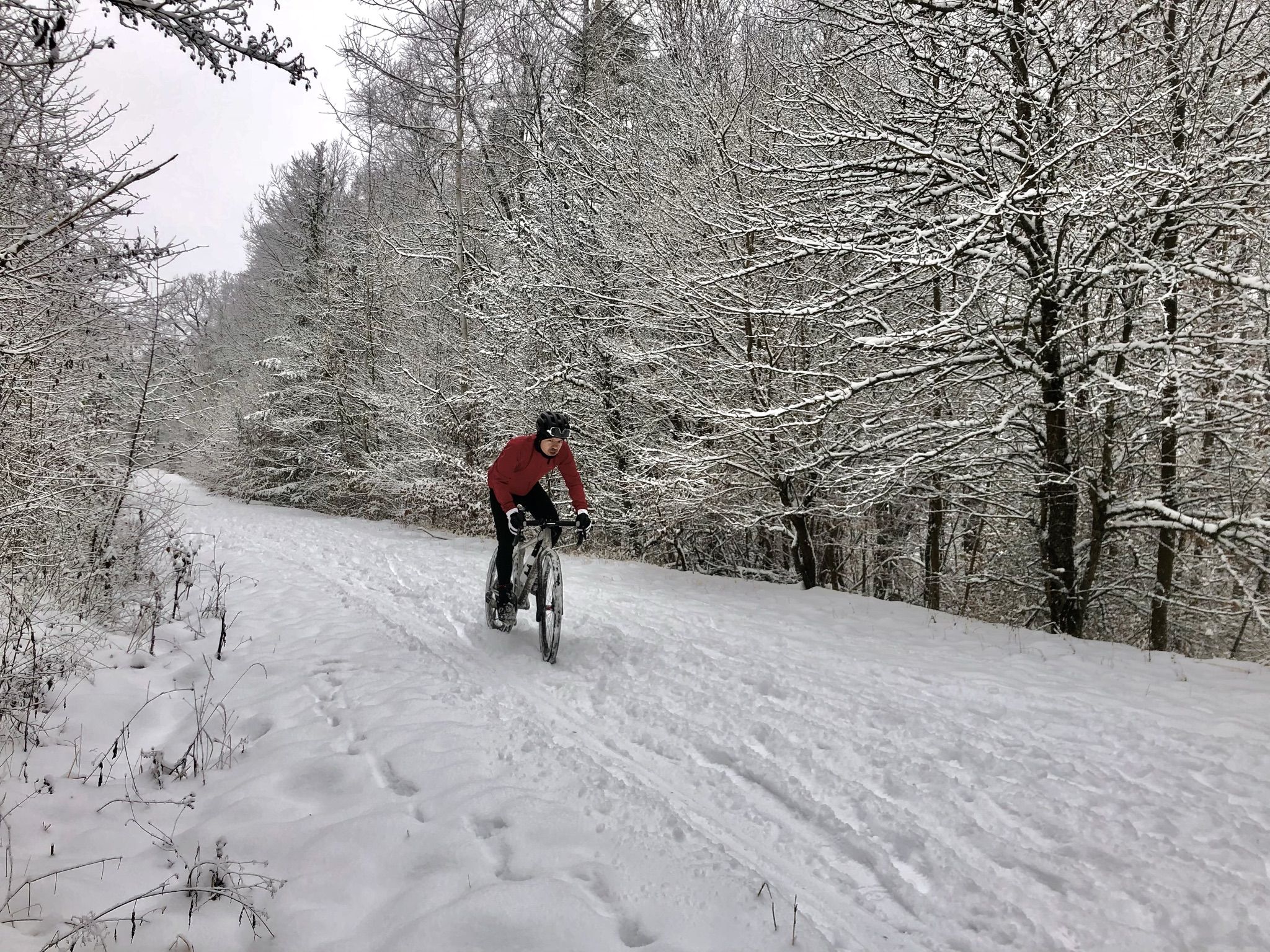
Winter.Gravel.Sweat – gravel and sauna fun in Germany’s Swabia
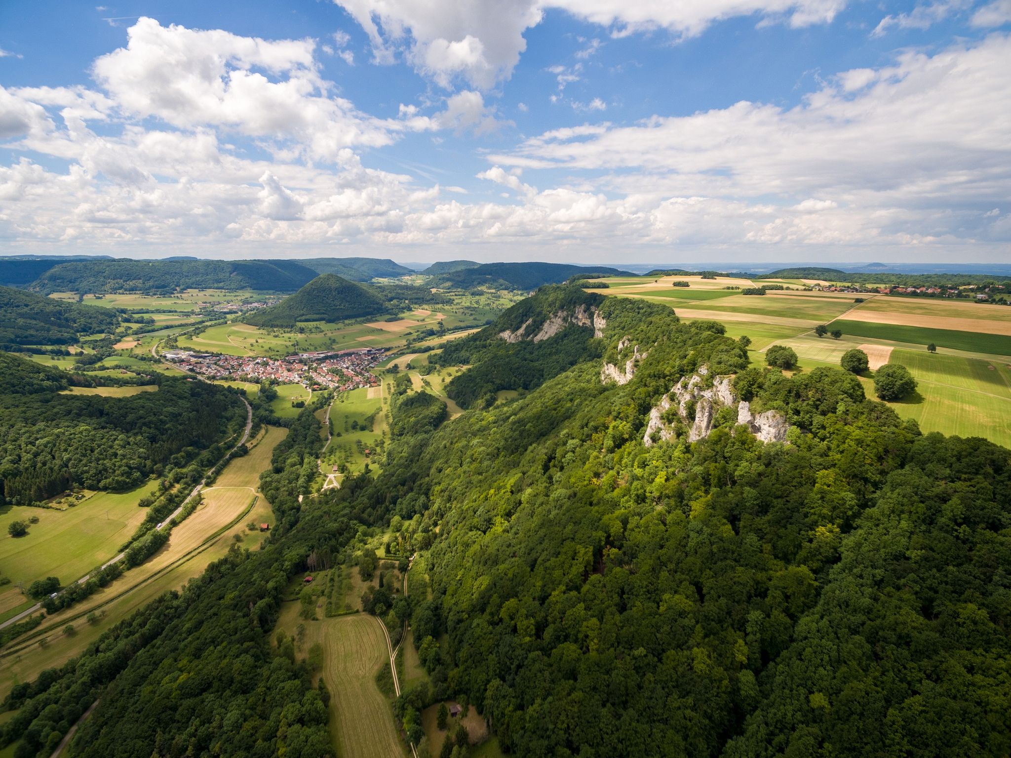
Fantastic ridge views – hiking on the Albtraufgaenger
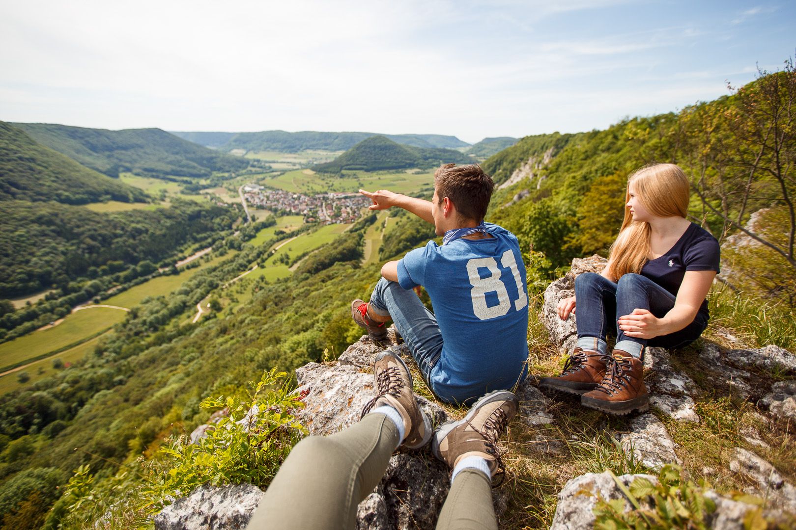
Lion Trails in the Swabian Alb – 16 Tours around Göppingen
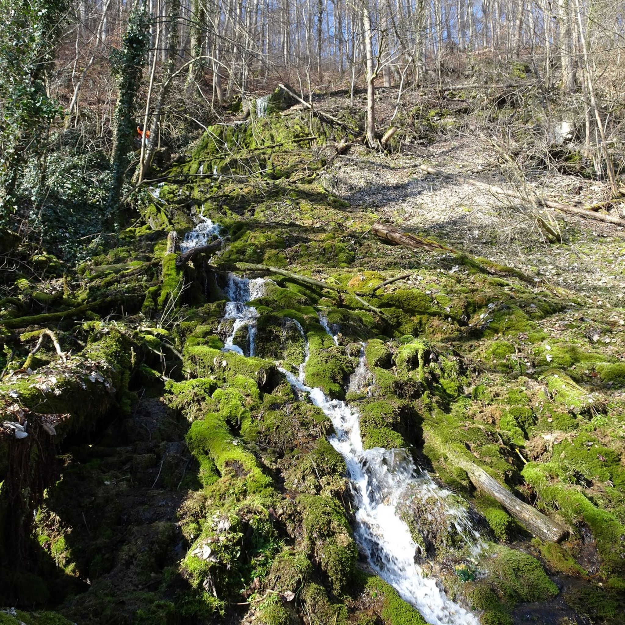
Hiking around Bad Überkingen
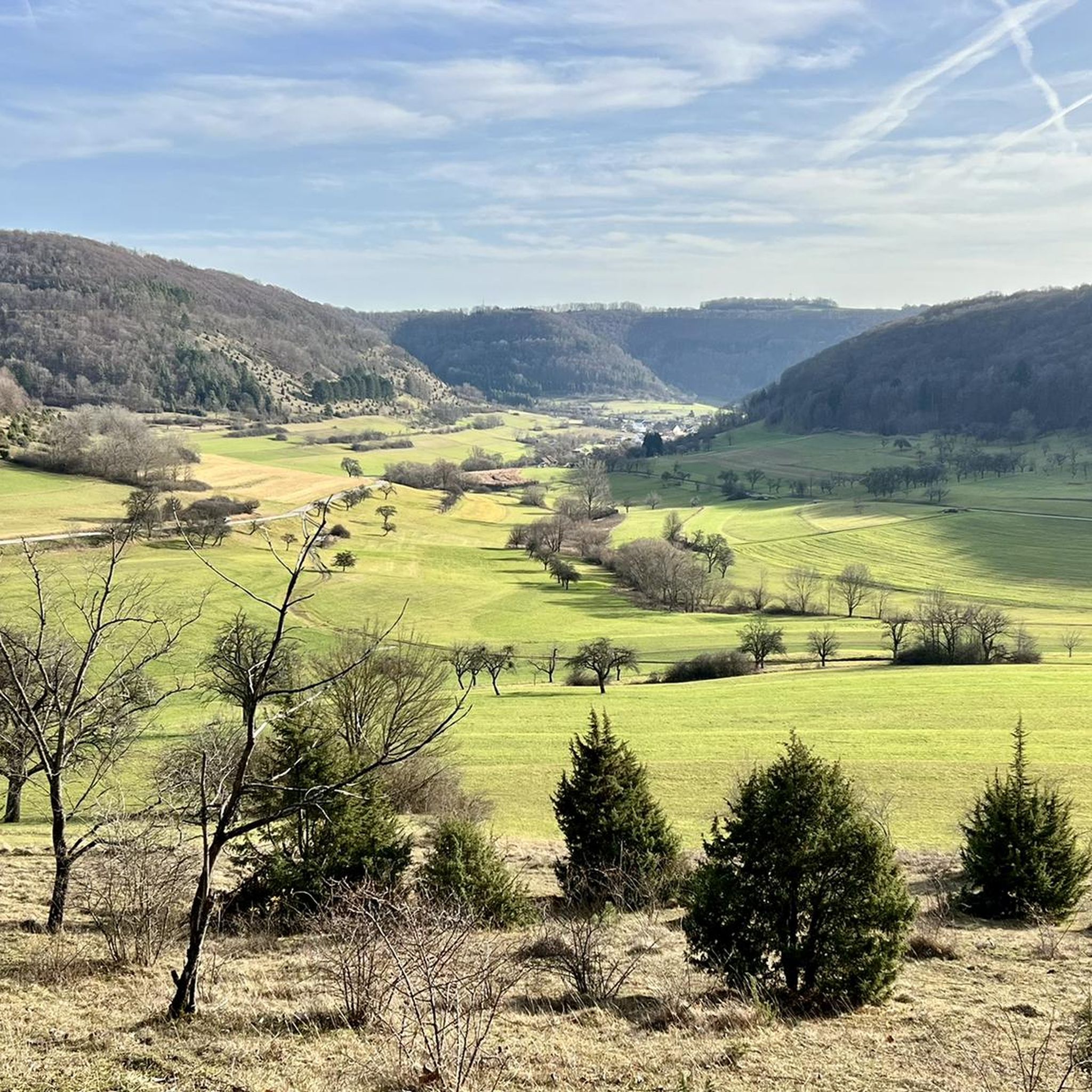
MTB Trails around Bad Überkingen

Gravel biking around Bad Überkingen
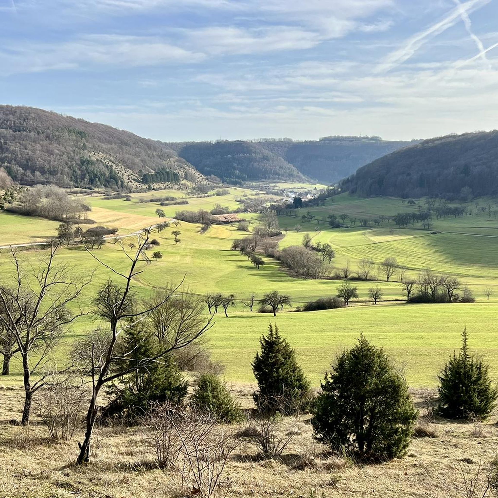
Road Cycling Routes around Bad Überkingen
Running Trails around Bad Überkingen
Other adventures around Bad Überkingen


Tips from the Community

The Messelberg is a soaring mountain. A rocky cliff at 743 m above sea level, it protrudes from the Messelberg. From here, on a clear day, you can see as far as the Black Forest, about 130 km away. The Swabian Alb North Rim Trail, which runs along the edge of the Alb trauf, offers particularly beautiful views far down into the Fils Valley at the Rötelstein and Messelstein viewpoints near Donzdorf. One of the Lion Trails also leads along the Messelberg, a bare rock that protrudes from the green Messelberg. The Messelberg is also home to the Donzdorf Flying Group's gliding airfield. Not far from there, next to the Rötelstein, is the launch pad of the Staufen Hang Gliding and Paragliding Club.
0
0

It is worth stopping here for a great view
2
0

Good place to rest after a steep climb.
6
0
You will pass the summit cross if you take the Orchid Trail or the Wasserberg Trail. Very nice view of the valley.
7
0
View of the 5 valleys town of Geislingen.
8
0


From here, on a clear day, you can see as far as the Black Forest, approx. 130 km away. The Swabian Alb North Edge Trail, which leads along the Albtraufkante, offers particularly beautiful views far down into the Filstal near Donzdorf at the Rötelstein and Messelstein viewing points. One of the lion paths also leads along the Messelberg, a bare rock that protrudes from the green Messelberg. The flying area of the Fliegergruppe Donzdorf e.V. for gliding is also located on the Messelberg. And not far from there is the launch ramp of the Staufen e.V. hang gliding and paragliding club next to the Rötelstein.
4
0
Frequently Asked Questions
What are the most popular mountain peaks and viewpoints around Bad Überkingen?
Among the most popular spots are the Hohenstaufen Castle Ruins and Viewpoint, offering an all-round view from its historical summit. Another highly-rated location is the Ostlandkreuz and view over Geislingen, a significant monument with expansive vistas. Visitors also frequently enjoy the rewarding views from Amazonen Rock and the scenic Haarberg summit cross.
Are there family-friendly mountain peaks or viewpoints in the Bad Überkingen area?
Yes, the Ostlandkreuz and view over Geislingen is noted as family-friendly. The plateau around the cross, known as the Sentinel, is a heathland landscape suitable for playing and barbecuing, making it a great spot for families.
What kind of natural features can I expect to see on mountain peaks around Bad Überkingen?
The region is characterized by its unique geology, including white Jurassic cliffs and prominent rock formations like the Hausener Wand. You'll also find diverse flora, such as the impressive spring snowflake bloom in the Autal valley during early spring. Many peaks offer panoramic views over the Swabian Alb and the Fils Valley.
What historical sites are associated with the mountain peaks in Bad Überkingen?
The Hohenstaufen Castle Ruins and Viewpoint is a significant historical site, once serving as the headquarters of the Hohenstaufen family. The Ostlandkreuz and view over Geislingen is also a historical monument, built as a memorial to displaced persons.
What is the highest point within the municipality of Bad Überkingen?
The highest point within the municipality of Bad Überkingen is Michelsberg, reaching an elevation of 751 meters (2,464 ft) above sea level. While not a traditional towering peak, it offers potential for panoramic views over the surrounding Swabian Alb landscape.
Are there hiking trails near these mountain peaks?
Absolutely. The region offers numerous well-maintained hiking trails. For example, popular routes showcase the impressive Hausener Wand / Hausener Felsen. You can find many options, including moderate trails like the 'Märzenbechertraum in the Autal in Bad Überkingen' or easier loops like the 'View of the Hausener Wand – Autal Waterfall loop from Bad Überkingen'. Explore more hiking routes in the area on the Hiking around Bad Überkingen guide.
What other outdoor activities can I do near the mountain peaks of Bad Überkingen?
Besides hiking, mountain biking is a very popular activity. Trails around the Hausener Wand and Kahlenstein are highly rated for mountain biking. You can also find road cycling routes, such as the 'Kurpark Bad Überkingen – Hausener Rock Face loop from Deggingen'. For more options, check out the Road Cycling Routes around Bad Überkingen guide or the Gravel biking around Bad Überkingen guide.
What are the best viewpoints for scenic photography around Bad Überkingen?
For 'postcard views' of Bad Überkingen and the Fils Valley, Kahlenstein is highly recommended. The Hausener Wand also offers expansive vistas, and the View from Messelberg provides a beautiful panorama, where on a clear day, you can see as far as the Black Forest.
When is the best time to visit Bad Überkingen for outdoor activities?
Early spring is particularly special due to the 'spring snowflake bloom' in the Autal valley, where thousands of white blossoms create a stunning natural spectacle. Generally, the region is excellent for hiking and outdoor activities throughout spring, summer, and autumn, offering pleasant weather and vibrant scenery.
What makes the Autal valley a notable natural attraction near Bad Überkingen's peaks?
The Autal valley is renowned for its impressive natural spectacles, including the Brunnensteig Cave and the Autal Waterfall. The 'Forest and Water Path' allows visitors to experience water-drenched tuff rocks, moss-covered cascades, and dense gorge forests. It's especially famous for its spectacular spring snowflake bloom.
Are there any specific geological formations worth exploring?
Yes, the region's white Jurassic cliffs are a defining geological feature. The Hausener Wand and Hausener Felsen are prominent rock formations that are key features of local hiking trails. The Autal valley also showcases unique tuff rocks and caves like the Brunnensteig Cave.
What do visitors enjoy most about the mountain peaks and elevated spots in Bad Überkingen?
Visitors consistently praise the stunning scenery and panoramic views over the Swabian Alb and Fils Valley. The unique geological features, rich biodiversity, and the variety of well-maintained hiking and biking trails are also highly appreciated. Many enjoy the sense of history at sites like Hohenstaufen Castle and the peaceful atmosphere of places like the Haarberg summit cross.
Most popular routes around Bad Überkingen
Most popular attractions around Bad Überkingen

Get inspired with the komoot mobile app


Explore more
See even more amazing summits around Bad Überkingen with these guides:
