The best gravel rides around Eulenberge
5.0
(2)
13
riders
4
rides
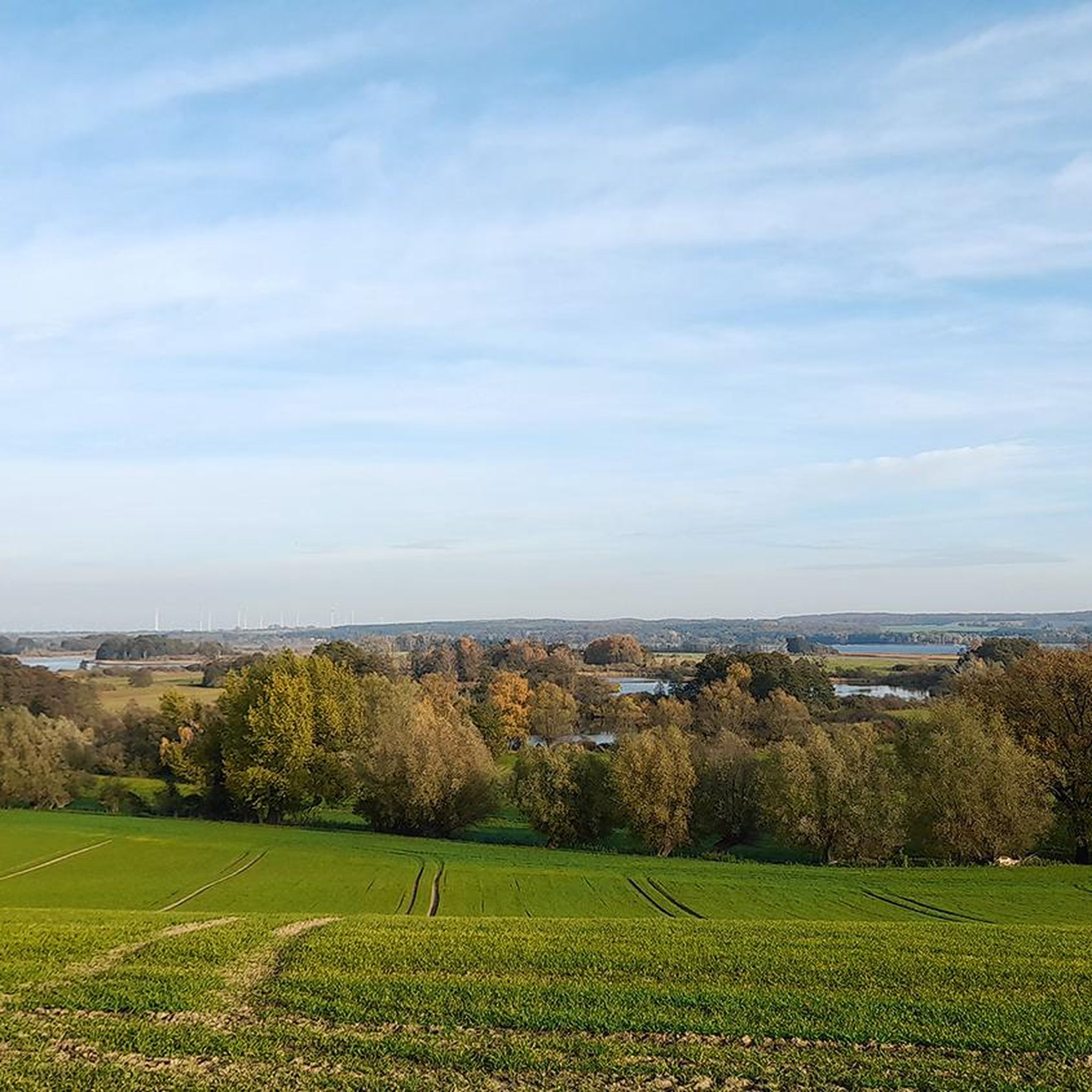
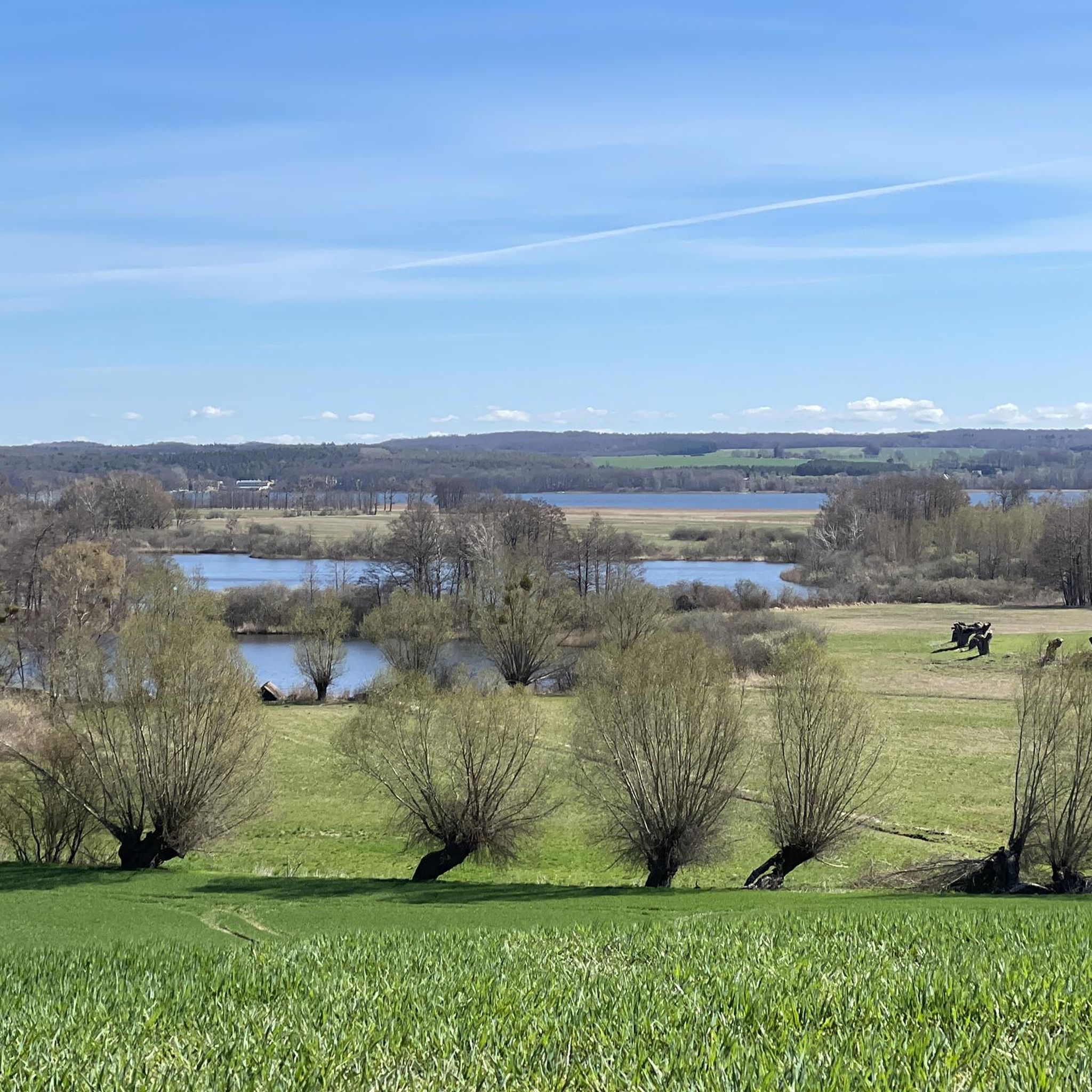
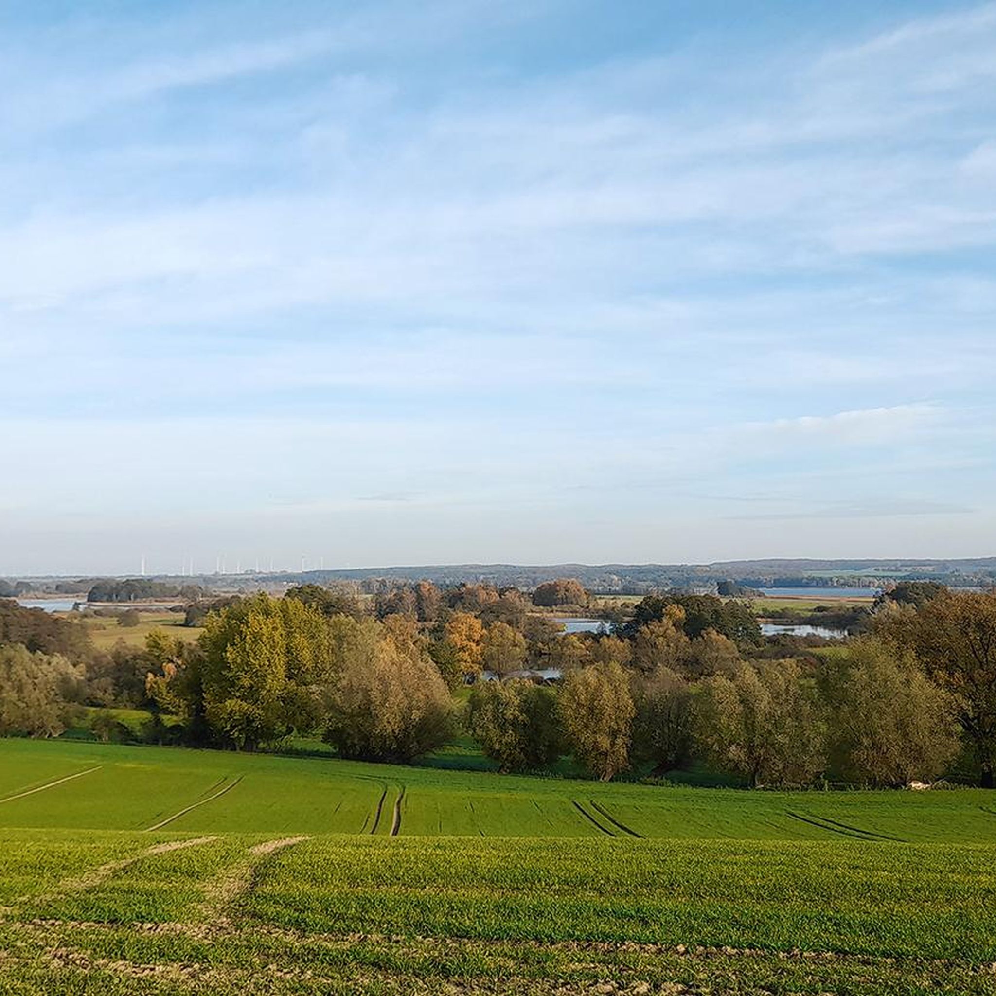
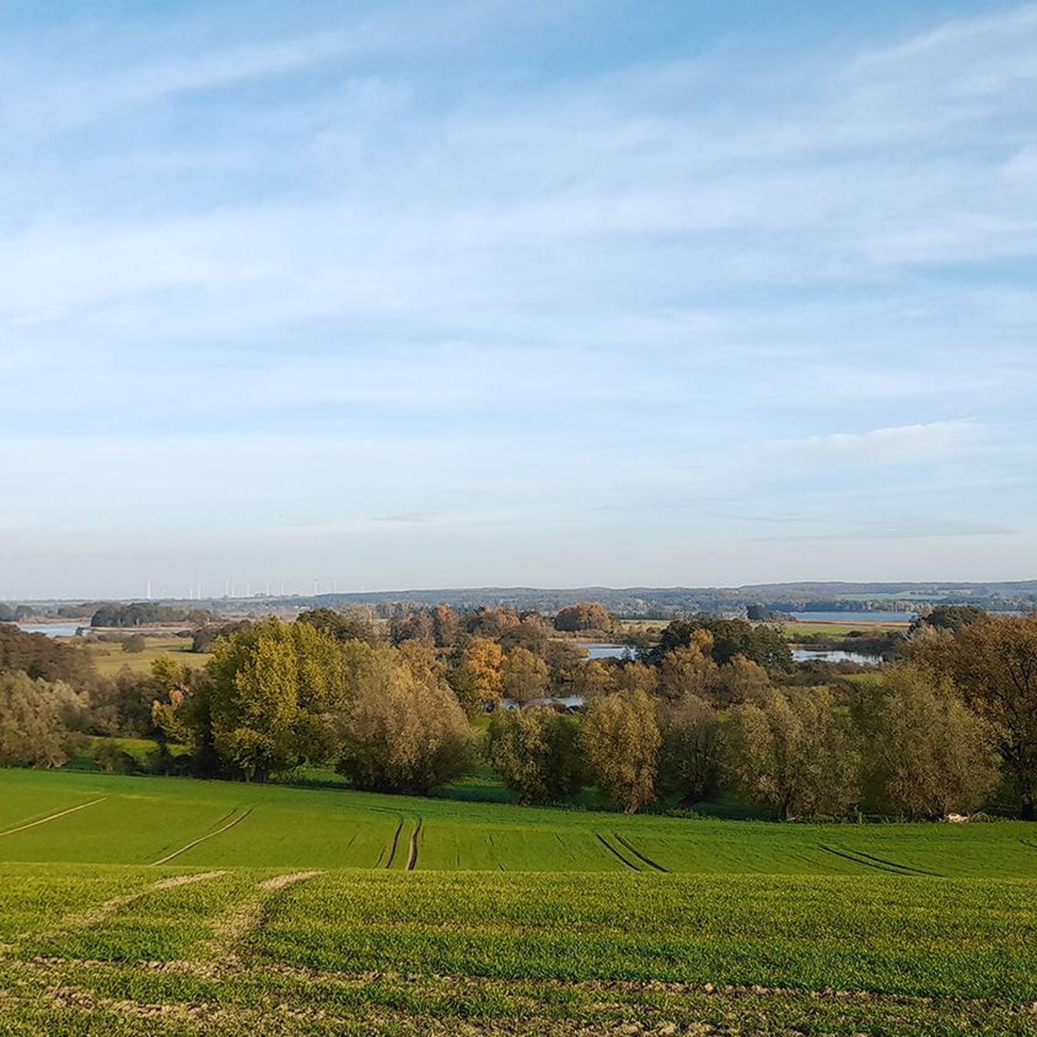
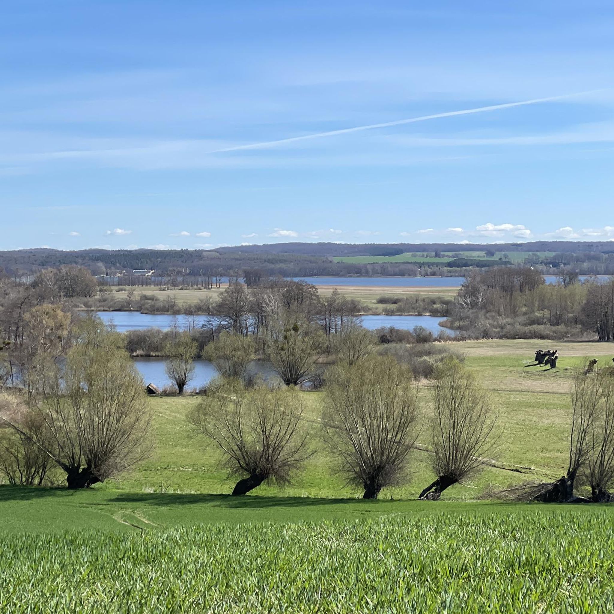
Gravel biking around Eulenberge features a varied landscape within the Uckermark region, characterized by a mix of lakes, moors, and dense forests. The terrain includes gentle hills and some steeper slopes, providing a dynamic environment for exploration. This area offers extensive natural features suitable for gravel bike trails, moving between forest paths and quiet roads. Eulenberge is part of the larger Biosphere Reserve Schorfheide-Chorin, known for its diverse topography.
Best gravel bike trails around Eulenberge
- The most popular gravel bike…
Last updated: October 6, 2026
6
riders
50.9km
03:02
250m
250m
Moderate gravel ride. Good fitness required. Mostly paved surfaces. Suitable for all skill levels.
2
riders
Hard gravel ride. Good fitness required. You may need to push your bike for some segments of this route.

5.0
(1)
2
riders
Moderate gravel ride. Good fitness required. Mostly paved surfaces. Suitable for all skill levels.
1
riders
37.7km
02:28
180m
170m
Moderate gravel ride. Good fitness required. Mostly paved surfaces. Suitable for all skill levels.
5.0
(1)
2
riders
29.9km
01:50
180m
180m
Hard gravel ride. Good fitness required. You may need to push your bike for some segments of this route.
Our route recommendations are based on thousands of hikes, rides, and runs completed by other people on komoot.
Start today with a free account
Your next adventure awaits.
Tips from the Community

The city wall dates from the second half of the 13th century (partially 13th/14th century) and encloses the historic town center almost without interruption. It is approx. 1,735 meters long, an average of 6–7 meters high, and extends about 2 meters into the ground. It consists mainly of fieldstones (the top often made of brick). At regular intervals of about 25–30 meters, 47 (depending on the source, up to approx. 50–55) semi-circular watch houses are inserted. Templin is particularly characterized by the fact that most of them are designed as open, city-side semi-circular shell towers – a peculiarity that creates the impression of many towers.
1
0
The wall survived several city fires (most recently in 1735, almost the entire city) and the Thirty Years' War. From 1990 onwards, it was extensively renovated in 12 sections (completed in 2002). It is considered one of the most complete and beautiful examples of medieval North German small-town fortifications and shapes the historic town center of Templin.
0
0

Old water castle ruins. The castle is right next door.
0
0

Recommended, even though the steps were already pushed up by the roots towards the end of the tour. In any case, the route is very idyllic and natural. The highlights are marked by signs and by Komoot 👍
0
0

Beautiful swimming spot with a sunbathing lawn, a table-bench combination, a small jetty, and a parking lot directly at the swimming spot.
0
0

Freely accessible. The ensemble also includes three beautiful half-timbered houses.
0
0

The boulder is a great place to sit, a lovely resting spot.
0
0
Frequently Asked Questions
How many gravel bike trails are there in Eulenberge?
There are currently 5 gravel bike trails available around Eulenberge, offering a diverse range of experiences for riders.
What kind of terrain can I expect on gravel bike trails in Eulenberge?
The Eulenberge region, part of the Uckermark, features a varied landscape with a mix of serene lakes, dense forests, moors, and rolling hills. You'll encounter both gentle slopes and some steeper sections, providing a dynamic environment that moves between forest paths and quiet roads.
Are there options for beginners or families looking for easier gravel routes?
While the guide primarily lists moderate to difficult routes, the region's varied terrain means there are paths suitable for different skill levels. For a moderate option, consider the Gerswalde Castle – Gerswalde Village Church loop from Blankensee, which is 23.4 miles (37.7 km) long.
Are there challenging gravel biking routes in Eulenberge?
Yes, Eulenberge offers several challenging routes. The Templin Cycle Path – Pioneer Bridge, Templin loop from Gerswalde is a difficult 31.6 miles (50.8 km) trail, and the North Shore of Wolletzsee – Blumberger Fish Ponds loop from Groß Fredenwalde is another difficult option at 24.6 miles (39.6 km).
Are there circular gravel bike routes in Eulenberge?
All the gravel bike routes listed in this guide are circular loops, designed to bring you back to your starting point. Examples include the Gleuen Bridge – Singletrack along the shore of Lake Gleuen loop from Blankensee and the South Tip of Oberuckersee – Berkenlatten Glacial Erratic loop from Temmen.
What can I see along the gravel bike trails in Eulenberge?
The trails often pass by beautiful natural features and points of interest. You can enjoy views of the Potzlow Lakes, such as the View of the Potzlow Lakes, or explore the Center of Uckermark. Many routes also feature scenic pathways by water bodies like the Scenic Pathway by Oberuckersee.
Are there any interesting landmarks or historical sites near the gravel trails?
While the guide focuses on natural attractions, the broader Uckermark region is known for historical sites like Apollonia-Lu Chapel, Ehrenstein Castle Ruins, and the Peterslahr Tunnel. These could be explored as part of a longer ride or separate visit, offering a blend of nature and heritage.
What is the typical distance of gravel bike routes in Eulenberge?
The gravel bike routes in Eulenberge vary in length, generally ranging from about 18.6 miles (29.9 km) to 31.6 miles (50.8 km). This provides options for rides of different durations and challenge levels.
What do other gravel bikers say about the trails in Eulenberge?
The gravel biking routes in Eulenberge are highly rated by the komoot community, with an average score of 5.0 stars from 2 reviews. Users often praise the varied terrain and the beautiful natural features, including serene lake views and dense forests.
What is the best time to visit for gravel biking in Eulenberge?
The Uckermark region, including Eulenberge, is beautiful throughout the warmer months, typically from spring through autumn. These seasons offer pleasant temperatures and lush landscapes, ideal for enjoying the varied terrain and scenic views. Winter riding is possible but may involve colder temperatures and potentially snow or ice on trails.
Are there routes that feature lakes or water bodies?
Yes, the Eulenberge nature reserve is characterized by several lakes, and many routes incorporate these. You'll find trails passing by Großer Potzlowsee, Krummer See, Plötzensee, and Wrietzensee, offering picturesque views and a chance to experience the region's aquatic ecosystems. The North Shore of Wolletzsee – Blumberger Fish Ponds loop from Groß Fredenwalde is a great example of a route featuring water bodies.
Most popular routes around Eulenberge
Most popular attractions around Eulenberge

Get inspired with the komoot mobile app


Explore more
Browse the best Gravel rides in other regions.
