The best gravel rides around the Esla
5.0
(1)
44
riders
5
rides
Gravel biking around the Esla offers diverse terrain characterized by the Esla River valley, surrounding hills, and more mountainous areas towards the east. The region features a mix of river paths, rural tracks, and challenging climbs, providing varied gravel cycling terrain. Riders can expect routes that traverse open landscapes, pass by reservoirs, and ascend to viewpoints. The area's natural features include riverine environments and elevated sections offering expansive views.
Best gravel bike trails around the Esla
- The most popular gravel…
Last updated: July 2, 2026
5.0
(1)
22
riders
113km
07:25
520m
520m
Hard gravel ride. Very good fitness required. Mostly paved surfaces. Suitable for all skill levels.
4
riders
82.3km
05:47
1,400m
1,400m
Hard gravel ride. Very good fitness required. Mostly paved surfaces. Suitable for all skill levels.

Sign up for free
6
riders
74.2km
04:39
920m
920m
Hard gravel ride. Very good fitness required. Mostly paved surfaces. Suitable for all skill levels.
2
riders
Hard gravel ride. Very good fitness required. Mostly paved surfaces. Suitable for all skill levels.
Our route recommendations are based on thousands of hikes, rides, and runs completed by other people on komoot.
Start today with a free account
Your next adventure awaits.
Login or Signup
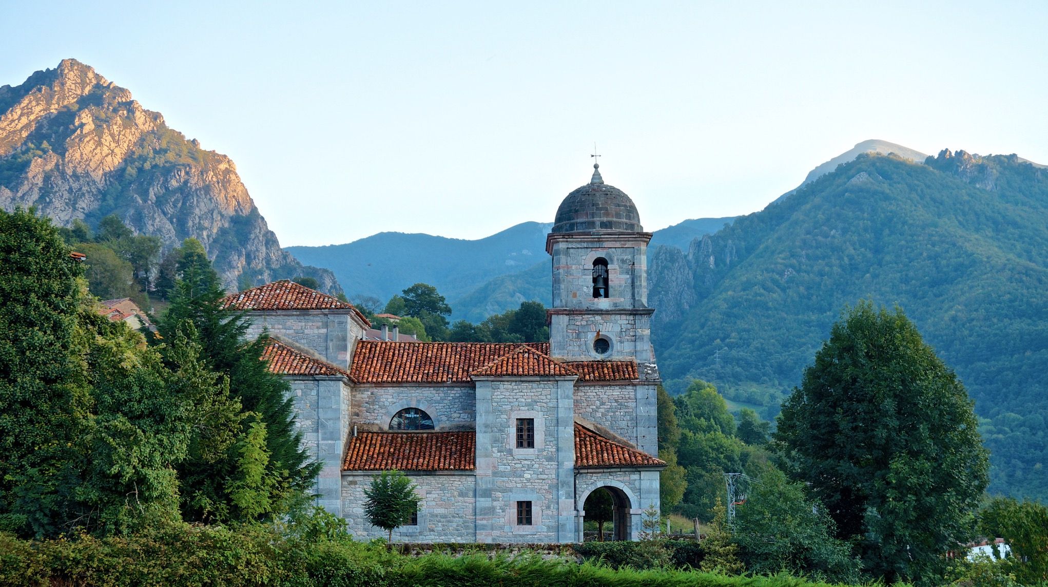
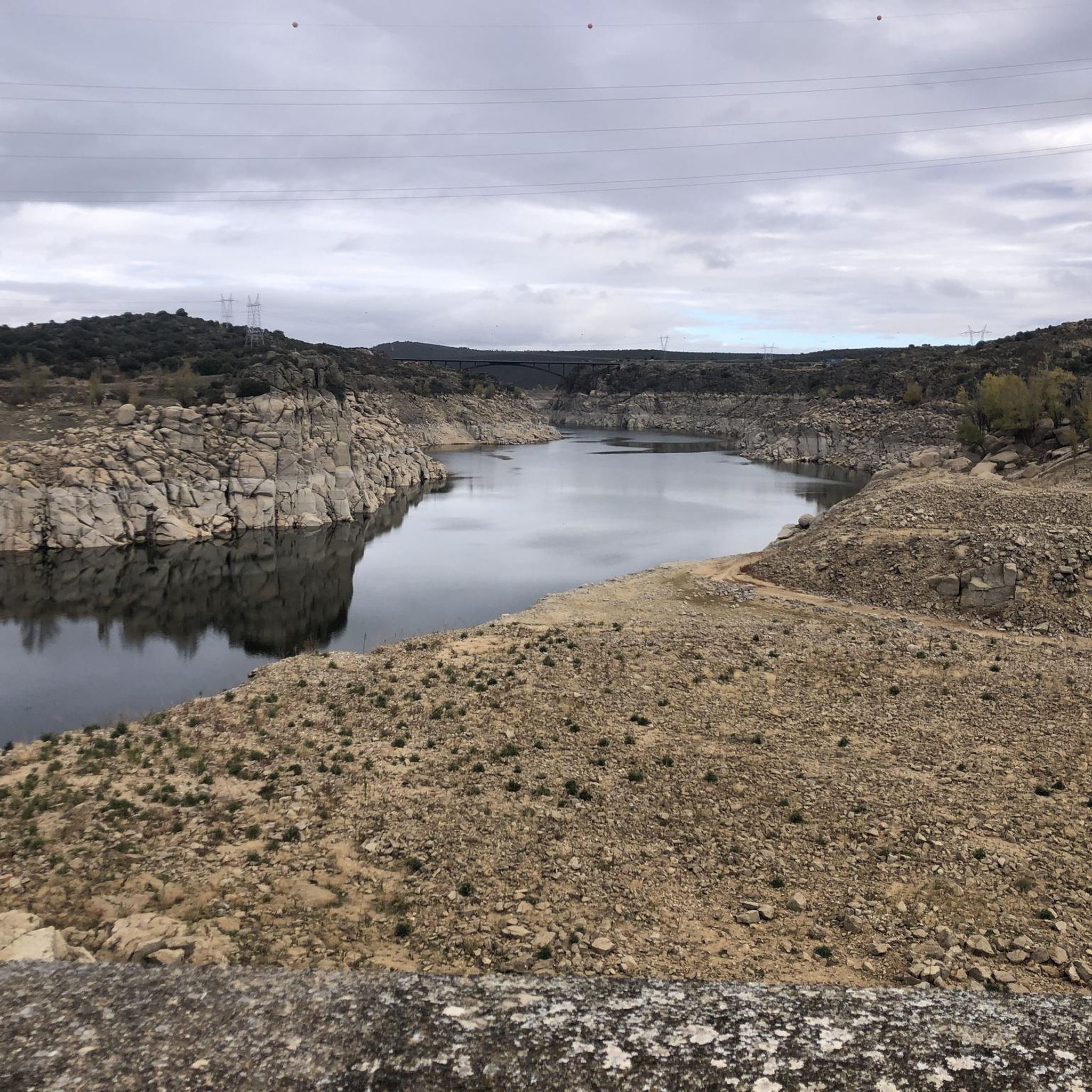
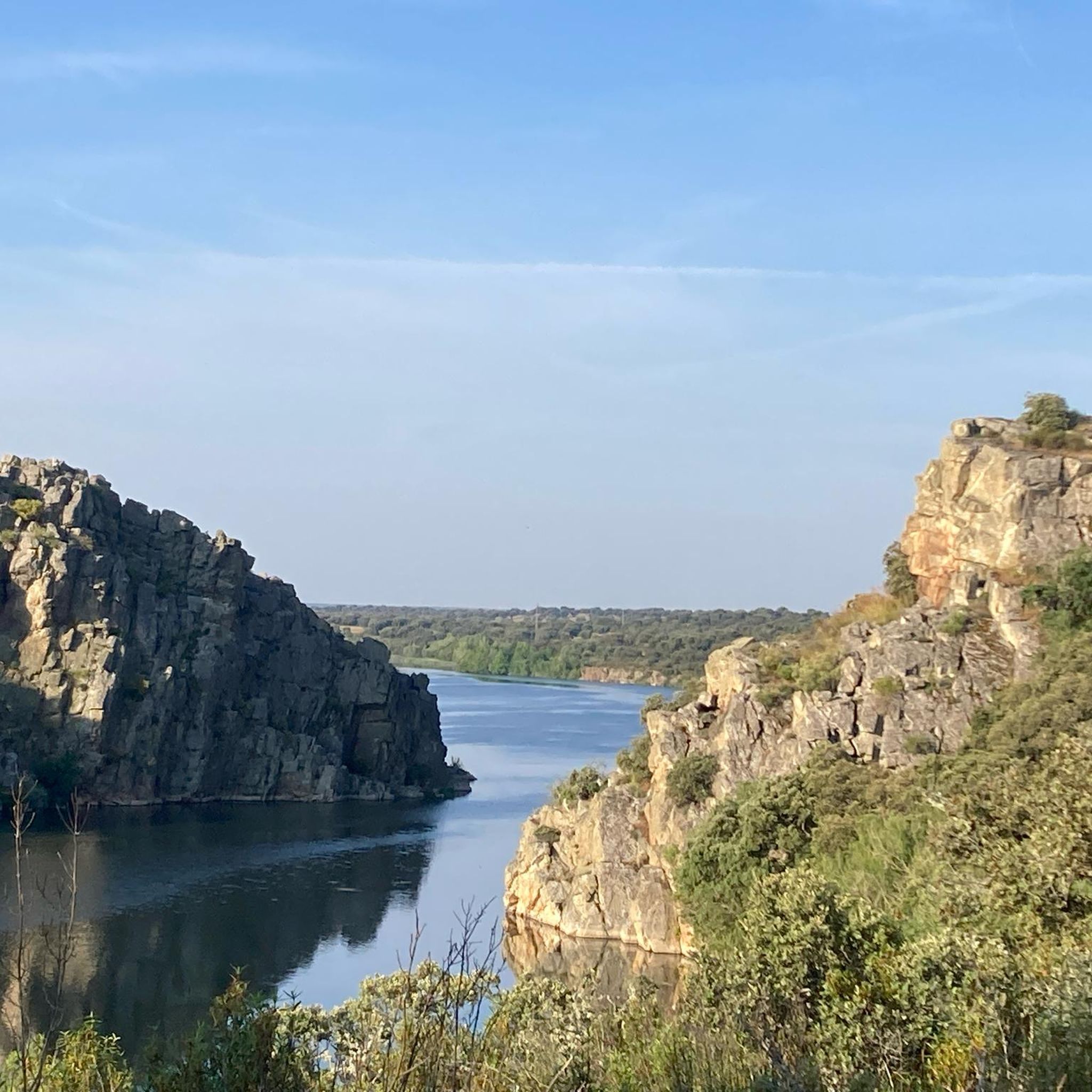
Other adventures around the Esla

Tips from the Community


The Sofreral de Cerezal is a cork oak forest (called sofreros in the area), the largest in Castile and León. Leaving the village, you cross a wonderful path about 4 km long.
0
0

The Tarna Pass seems hidden from tourism and constant traffic. It's located on one of the least-traveled and most beautiful passes between Asturias and León. The scenery at the top is spectacular.
1
0

The Puerto de La Tarna, from Riaño, is a challenging road climb offering steady gradients and spectacular views of the Riaño Mountains. From the summit, you can enjoy panoramic views of the surrounding valleys, reservoirs, and peaks.
0
0

The Ricobayo Reservoir, also known as Salto de Ricobayo or Embalse del Esla, is an impressive hydroelectric engineering project located on the Esla River, less than 1 km from Ricobayo de Alba, in the municipality of Muelas del Pan. The reservoir is located in the area known as the Arribes del Esla, a deep geographic depression with spectacular landscapes.
1
0
The Cadozos Waterfall, located in Muelas del Pan (Zamora), is a little-known but very special natural spot, ideal for hiking and nature lovers. It's a seasonal waterfall, meaning its flow depends on rainfall, being most spectacular in spring or after days of heavy rain.
1
0

A great, exciting and spectacular landscape.
1
1

The Arco de San Benito is an impressive monument in Sahagún, located in the region of Castilla y León, Spain. It was built around 1662 by the architect Felipe Berrojo to replace the old Romanesque portal of the Monasterio de San Benito. The arch is designed as a triumphal arch, under which the N-120 passes, and is also known as "la puerta de Sahagún" (the gate of Sahagún). The monument is richly decorated with a central shield, inscriptions and sculptures of Saints Facundo and Primitivo. At the top is the royal shield, and there are also sculptures of Alfonso III and Alfonso VI, who were important protectors of the monastery.
8
0
Frequently Asked Questions
What kind of terrain can I expect on gravel bike trails around the Esla region?
The Esla region, drawing inspiration from the diverse landscapes around Los Angeles, offers a varied gravel biking experience. You'll encounter a mix of hard gravel, some paved sections, and challenging dirt climbs, descents, and fire roads. Expect rugged canyons, urban hills, and accessible river paths. Routes can range from mostly paved to very technical, with significant elevation changes in areas like the Verdugo Mountains.
Are there any beginner-friendly gravel bike routes in the Esla area?
While the routes highlighted in this guide are generally rated as difficult, the broader Esla region (Southern California) does offer easier rides, particularly on accessible river paths and urban green spaces. For a challenging but rewarding experience, consider the Cistierna – Abandoned Mines loop from Cistierna, which is the shortest of the difficult routes at 34 km.
What are some of the more challenging gravel bike routes in the Esla region?
For experienced gravel bikers seeking a challenge, the Esla region offers several demanding routes. The Maraña Hostel – Tarna Pass loop from Barrio de Allá Abajo stands out with nearly 1400 meters of elevation gain over 82 km. Another long and challenging option is the El Burgo Ranero – Roman bridge loop from Santas Martas, covering over 113 km with significant climbing.
Are there any circular gravel bike routes available?
Yes, all the gravel bike routes featured in this guide are circular loops, allowing you to start and end at the same point. Examples include the El Burgo Ranero – Roman bridge loop from Santas Martas and the Ricobayo Reservoir – Cadozos Waterfall loop from Central Hidroelectrica Ricobayo.
What natural features or landmarks can I see along the gravel bike trails?
The Esla region offers diverse sights. You can explore areas with significant water features like the Ricobayo Reservoir and the Cadozos Waterfall. Historic bridges are also prominent, such as the Quintos Bridge Over the Esla River and the Old Manzanal Bridge. Some routes also pass by interesting man-made structures like the Riaño Dam.
What is the best time of year for gravel biking in the Esla region?
Given the Southern California-like climate of the Esla region, gravel biking is generally possible year-round. However, spring and fall offer the most pleasant temperatures, avoiding the intense heat of summer and potential cooler, wetter conditions in winter. Always check local weather forecasts, especially if planning rides in higher elevation areas like the Verdugo or San Gabriel Mountains, where conditions can vary.
Are there any routes that feature waterfalls?
Yes, the Ricobayo Reservoir – Cadozos Waterfall loop from Central Hidroelectrica Ricobayo is a great option if you're looking to incorporate a waterfall into your gravel biking adventure.
What do other gravel bikers enjoy most about the Esla region?
The Esla region is highly rated by the komoot community, with an average score of 5.0 stars. While specific reviews are limited, the diverse terrain, from challenging canyon climbs to scenic river paths, and the opportunity for breathtaking views, are often highlighted as key attractions in similar Southern California gravel biking areas.
Are there any routes that pass by abandoned mines?
Yes, the Abandoned Mines – Monte Cotado Pass loop from Cistierna and the Cistierna – Abandoned Mines loop from Cistierna both offer a chance to explore these unique historical sites along your ride.
Is public transport an option for accessing gravel trails in the Esla region?
Accessing specific gravel trails in the Esla region (Southern California) via public transport can be challenging, as many trailheads are located in more remote natural areas. While urban centers have public transport, reaching the start points of routes like those in the Verdugo Mountains or more distant canyons often requires a car. It's best to research specific route access points and local transport options for each tour.
Are there places to stop for food or drink near the gravel trails?
While the guide focuses on the trails themselves, the Esla region, being close to populated areas like East Los Angeles, means that cafes, restaurants, and shops are generally accessible within a reasonable distance from many trailheads or along routes that pass through smaller towns. It's always advisable to carry sufficient water and snacks, especially on longer, more remote rides like the Maraña Hostel – Tarna Pass loop.
Most popular routes around the Esla
Most popular attractions around the Esla

Get inspired with the komoot mobile app


Explore more
Browse the best Gravel rides in other regions.
