The best gravel rides around the Mio
4.5
(5)
125
riders
38
rides
Gravel biking around the Mio is characterized by its diverse landscapes within the Au Sable River Valley, surrounded by the Huron National Forest and Au Sable State Forest. The region features a broad outwash plain with local hilly sections, offering varied topography for cyclists. Trails often include mixed surfaces such as black dirt with sand, rocks, roots, and loose gravel. The Mio Plateau's deep glacial drift contributes to the varied terrain experienced on routes.
Best gravel bike trails around the…
Last updated: July 2, 2026
107km
09:27
1,720m
1,720m
Hard gravel ride. Very good fitness required. Mostly paved surfaces. Suitable for all skill levels.
9
riders
55.2km
04:07
530m
530m
Hard gravel ride. Very good fitness required. Mostly paved surfaces. Suitable for all skill levels.

Sign up for free
5.0
(1)
9
riders
147km
10:09
2,710m
2,710m
Hard gravel ride. Very good fitness required. Mostly paved surfaces. Suitable for all skill levels.
5.0
(1)
6
riders
47.9km
03:23
750m
750m
Hard gravel ride. Very good fitness required. Mostly paved surfaces. Suitable for all skill levels.
7
riders
Hard gravel ride. Very good fitness required. Mostly paved surfaces. Suitable for all skill levels.
Get access to more routes and recommendations from other explorers.
Sign up for free
Already have an account?
Our route recommendations are based on thousands of hikes, rides, and runs completed by other people on komoot.
Start today with a free account
Your next adventure awaits.
Login or Signup
Popular around Mio
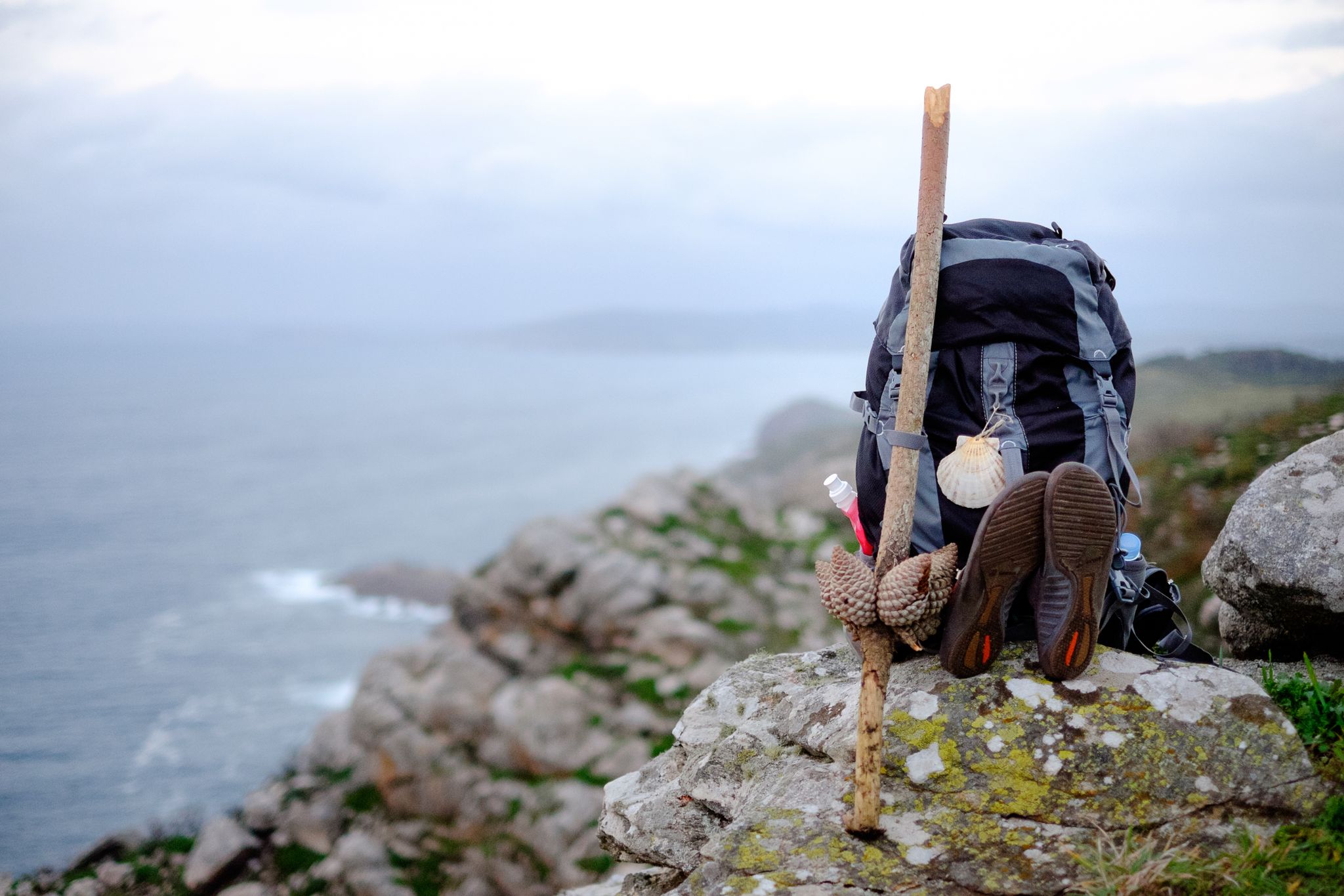
Way of St. James – 60 miles
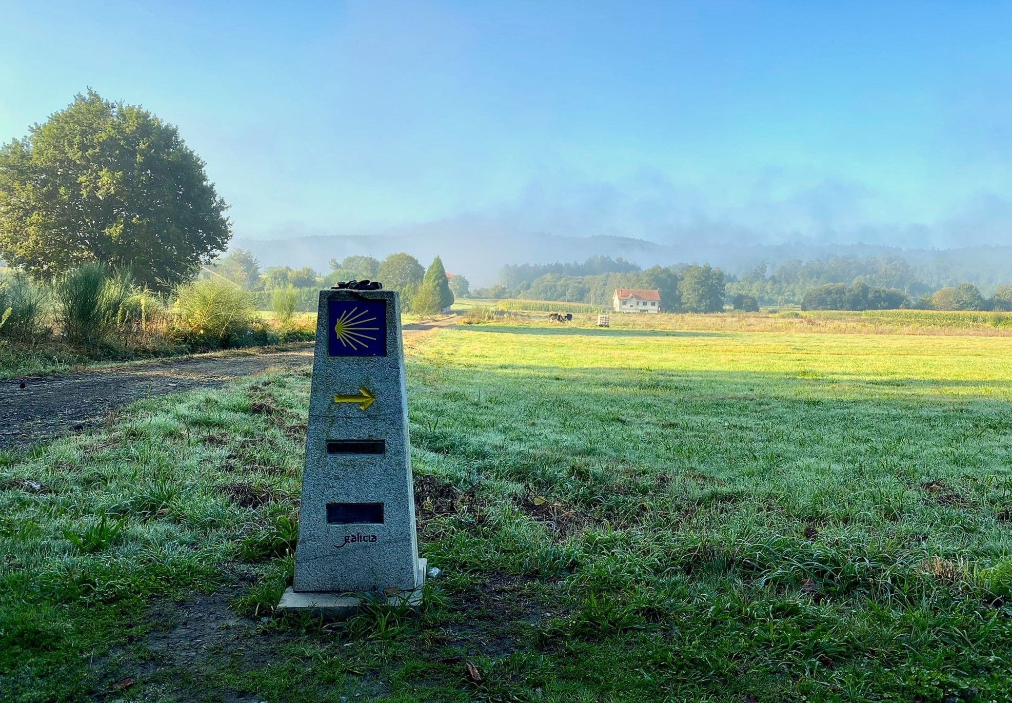
A pilgrimage on foot – Spain’s Primitive Way
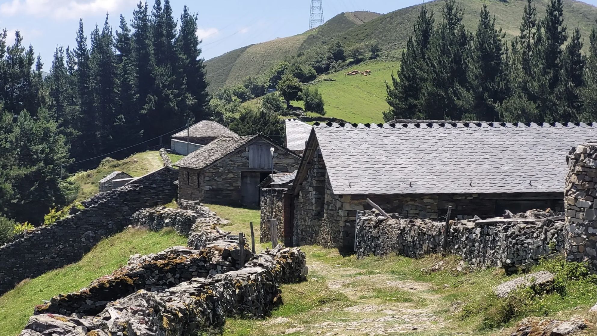
The Camino Primitivo — From Oviedo to Santiago through history
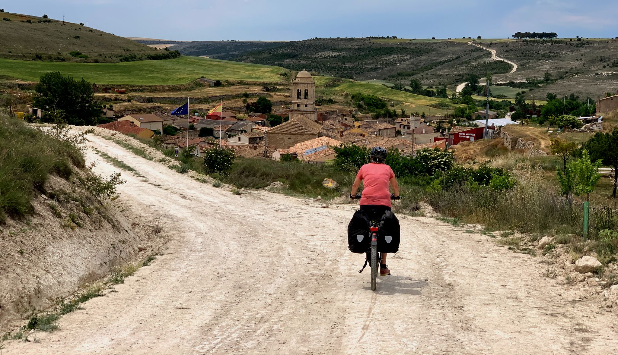
The Pilgrim Route — EuroVelo 3 through Spain
Discover Spain by gravel — a selection of must-see routes
Road Cycling Routes around the Mio
MTB Trails around the Mio
Hiking around the Mio
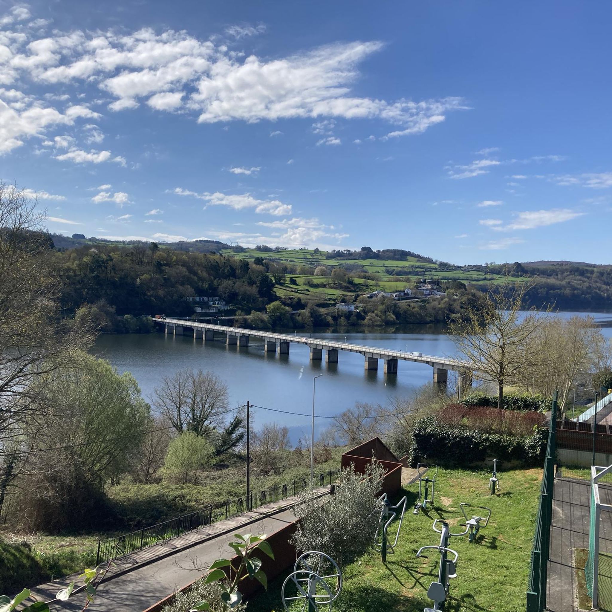
Cycling around the Mio
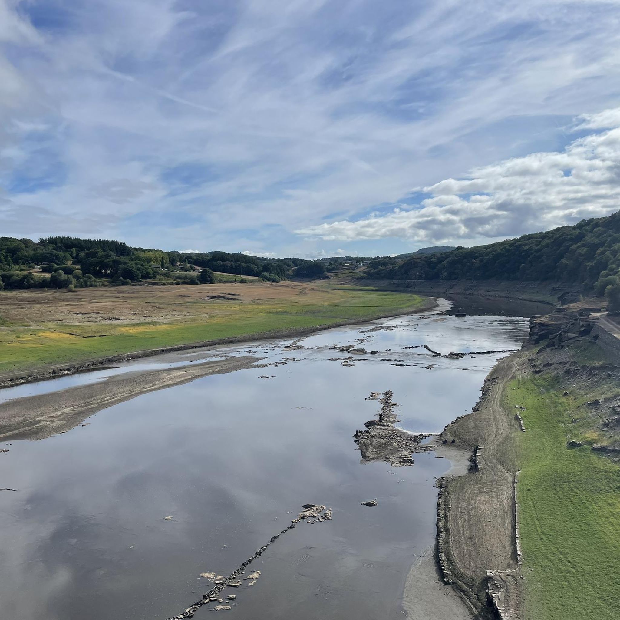
Running Trails around the Mio
Other adventures around the Mio


Tips from the Community

Ourense's Plaza Mayor is one of the most emblematic spaces in the historic center: It's a porticoed square with a slight incline, making it unique in Galicia. The slope is used to create a very photogenic perspective. Since the Middle Ages, it has been the city's administrative and social center. Markets, public events, and neighborhood meetings were held here. Notable buildings: City Hall: a 19th-century neoclassical building with an elegant façade and balconies. Palaces and noble houses: several properties with heraldic shields and typical Galician galleries.
2
0
Located on the banks of the Miño River, in the Outariz area, west of Ourense, right on the city's "Thermal Promenade." Parking: The Outariz/Reza parking lot (on the opposite bank) is available, as the Muiño da Veiga parking lot is closed for renovations. Public transport: City bus line 5; the unique Thermal Train, which stops at the facility.
1
0
It spans the Miño River, linking the historic center of Ourense with the A Ponte neighborhood. It was built in the 1st century AD as a branch of the Via Nova (Via XVIII), connecting Bracara Augusta (Braga) with Asturica Augusta (Astorga). Only traces of the original Roman phase remain, such as rusticated stonework at the ends near the banks. It suffered damage during the Middle Ages; in 1228, under Bishop Lorenzo and with the support of Ferdinand III, it was rebuilt with pointed arches and renovated approaches. Until the 17th century, the bridge repeatedly collapsed. The final work was directed by Melchor de Velasco Agüero around 1660, establishing its current appearance.
1
0

Located at the entrance to Triacastela, this wooden sculpture depicts a classic pilgrim with a staff, cloak, and hat. It's one of the most photographed spots on the Camino as it passes through this town. A work of local craftsmanship, it pays homage to the thousands of pilgrims who have passed through this historic Galician village, which was one of the first documented stops on the Camino de Santiago route. A good excuse to stop, stretch your legs, and take a symbolic photo before entering the town. From here, decide whether to continue along the San Xil route (shorter and more mountainous) or the Samos route (longer and with a monastery). Both routes are beautiful, but very different.
0
0

Contrary to what the name suggests, this was not the king's palace or residence. It's a lovely little place and good for a break.
1
2
The Roman bridge in Ourense, known as Ponte Vella or Puente Mayor, over the Miño River, was built in the 1st century AD as part of a branch of the Via Nova (Eighteenth Century). According to tradition, it dates back to the time of Trajan, although its construction characteristics place it close to the time of Augustus. Of that first bridge, only a few cushioned ashlars from the bases remain, as silent witnesses of the past.
1
0

Romanesque church dating from the last third of the 12th century with later alterations. Only the main entrance and part of the façade remain of the original design. It has a Latin cross plan with a rectangular nave, two side chapels, and a pentagonal presbytery. The walls are made of masonry and granite ashlars, and the roof is covered with two- and four-sided tiles. The entrance is Romanesque and features a rounded arch with two archivolts, coved arches, an outer band of truncated spires, and decorated capitals. The tympanum is plain on quoins. The altarpiece in the main chapel is neoclassical.
1
1

One of the few preserved city walls in Europe.
3
0
Frequently Asked Questions
What is the general difficulty level of gravel biking trails around Mio?
The gravel biking trails in Mio offer a range of difficulties, with the majority being moderate to difficult. Out of 31 available routes, 8 are considered moderate and 23 are difficult. These routes often feature varied terrain, including black dirt with sand, rocks, roots, and loose gravel, along with significant elevation changes due to the Mio Plateau's deep glacial drift.
Are there options for long-distance gravel biking adventures in the Mio area?
Yes, Mio provides excellent opportunities for long-distance gravel biking. For example, the route Circular gravel through Ourense and Castrelo do Miño spans over 66 miles (106 km) with significant elevation gain. Another challenging long-distance option is Batallón Tower, Sarria – Portomarín loop from Portomarín, which covers over 64 miles (103 km).
Can I find circular gravel bike routes around Mio?
Yes, many of the gravel routes around Mio are designed as loops, allowing you to start and end at the same point. A notable circular route is Castro de Viladonga loop from A Igrexa, a challenging 34-mile (55 km) path. Another popular loop is View of the Chanca Viaduct – Ponte da Chanca Viaduct loop from Lugo, covering nearly 30 miles (47 km).
What is the best time of year for gravel biking in Mio, and what are the typical weather conditions?
Mio's diverse landscape, including the Au Sable River Valley and surrounding forests, makes it enjoyable across seasons. Spring and fall offer pleasant temperatures and vibrant scenery. Summers are generally warm, ideal for combining biking with river activities. Winters can be challenging due to snow and ice, but some trails might be accessible for fat biking. Always check local weather forecasts before heading out, as conditions can vary, especially with the varied terrain of sand, rocks, and loose gravel.
What kind of natural features and scenic views can I expect along the gravel routes in Mio?
Gravel routes in Mio traverse the picturesque Au Sable River Valley and are surrounded by the Huron National Forest and Au Sable State Forest. You can expect scenic views of the river, dense woodlands, and varied topography from the Mio Plateau. Keep an eye out for wildlife, including deer, eagles, and the rare Kirtland's warbler. Some routes may pass near natural monuments like the Augacaída Waterfall or offer views of the Ribeira Sacra River Valley.
Are there any interesting landmarks or historical sites to see near the gravel bike trails?
Yes, the Mio area is rich in history and notable landmarks. While biking, you might encounter historical sites such as the As Burgas Roman Baths or the ancient city of Lugo. Architectural highlights include the Portomarín Bridge and the impressive Ponte Vella (Roman Bridge of Ourense). The Church of St John of Portomarín and the Cathedral of Saint Mary of Lugo also offer glimpses into the region's heritage.
What do other gravel bikers enjoy the most about gravel biking in Mio?
The komoot community highly rates the gravel biking experience in Mio, with an average score of 4.7 stars. Reviewers often praise the diverse landscapes, the challenging yet rewarding terrain, and the extensive network of forest trails and river valleys. Many appreciate the opportunity to explore the natural beauty of the Au Sable River Valley and the surrounding national forests.
Are there any moderate or less challenging gravel routes suitable for those new to the sport?
While many routes are classified as difficult, there are moderate options available. For instance, the Chanca Viaduct and Rato River – Río Rato Bike Path loop from Pazo Provincial dos Deportes de Lugo is a moderate 21-mile (33 km) route. Another moderate choice is the Roman Bridge of Lugo – Río Rato Bike Path loop from Lugo, which is about 16 miles (25 km) long, offering a good introduction to the area's gravel paths.
Are there any routes that feature waterfalls or significant river views?
Yes, the region's proximity to the Au Sable River and its natural features means you can find routes with water elements. The As Burgas Hot Springs – A Boutureira Waterfall loop from Ourense-San Francisco is a challenging 24-mile (39 km) route that includes a waterfall. Many trails also offer views of the Au Sable River itself, which is a central feature of the Mio landscape.
What are some of the more challenging gravel bike routes for experienced riders?
Experienced riders seeking a challenge will find plenty of options. The Batallón Tower, Sarria – Portomarín loop from A Pobra de San Xiao is a demanding route over 80 miles (130 km) with substantial elevation gain. Another difficult option is the Roman Bridge of Ourense – Cachamuíña Reservoir loop from Rabaza de Abaixo, covering over 74 miles (119 km) with significant climbing.
Are there any routes that pass by the Roman Bridge of Ourense?
Yes, you can find routes that incorporate the historic Roman Bridge of Ourense. The Roman Bridge Ourense – Roman Bridge of Ourense loop from Ourense-San Francisco is a 28-mile (46 km) route that specifically features this landmark. It's a great way to combine a challenging ride with a visit to a significant historical structure.
Most popular routes around the Mio
Most popular attractions around the Mio

Get inspired with the komoot mobile app


Explore more
Browse the best Gravel rides in other regions.
