The best gravel rides around Oberdiessbach
4.6
(97)
771
riders
53
rides
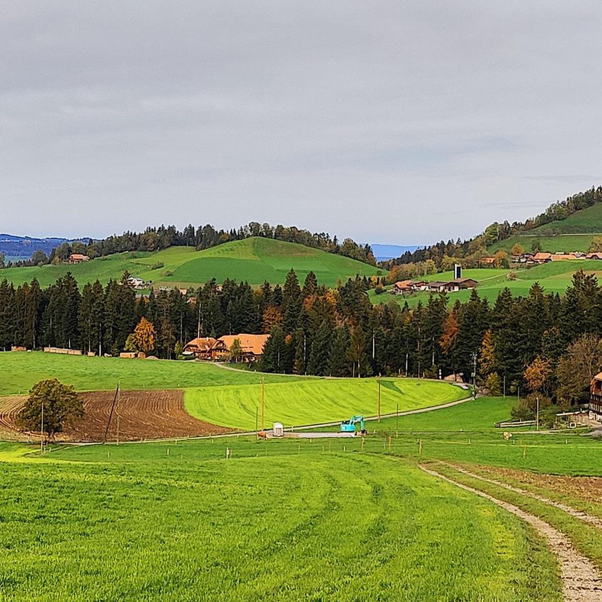
Gravel biking around Oberdiessbach offers diverse terrain across the Bernese Midlands and into the higher altitudes of the Bernese Oberland. The region features a network of routes that combine paved roads with unpaved tracks, gravel paths, and forest roads. Riders can expect varied landscapes, including rolling hills, river valleys, and sections with views of the Bernese Alps. This area provides a range of gravel biking experiences, from moderate loops to longer rides with significant elevation gain.
Best gravel bike trails…
Last updated: July 9, 2026
4.5
(6)
70
riders
44.7km
02:34
180m
180m
Moderate gravel ride. Good fitness required. Mostly paved surfaces. Suitable for all skill levels.
5.0
(4)
31
riders
43.0km
02:51
500m
500m
Hard gravel ride. Very good fitness required. Mostly paved surfaces. Suitable for all skill levels.

Sign up for free
4.1
(7)
33
riders
Moderate gravel ride. Good fitness required. Mostly paved surfaces. Suitable for all skill levels.
4.0
(1)
9
riders
66.8km
05:07
1,880m
1,880m
Hard gravel ride. Very good fitness required. Mostly paved surfaces. Suitable for all skill levels.
5.0
(3)
19
riders
42.4km
03:05
1,070m
1,070m
Hard gravel ride. Very good fitness required. Mostly paved surfaces. Suitable for all skill levels.
Get access to more routes and recommendations from other explorers.
Sign up for free
Already have an account?
Our route recommendations are based on thousands of hikes, rides, and runs completed by other people on komoot.
Start today with a free account
Your next adventure awaits.
Login or Signup
Tips from the Community

The Hechtenloch is a nature reserve where entry is not permitted, but you can still see it.
0
0

A popular promenade when the sun is shining.
0
0

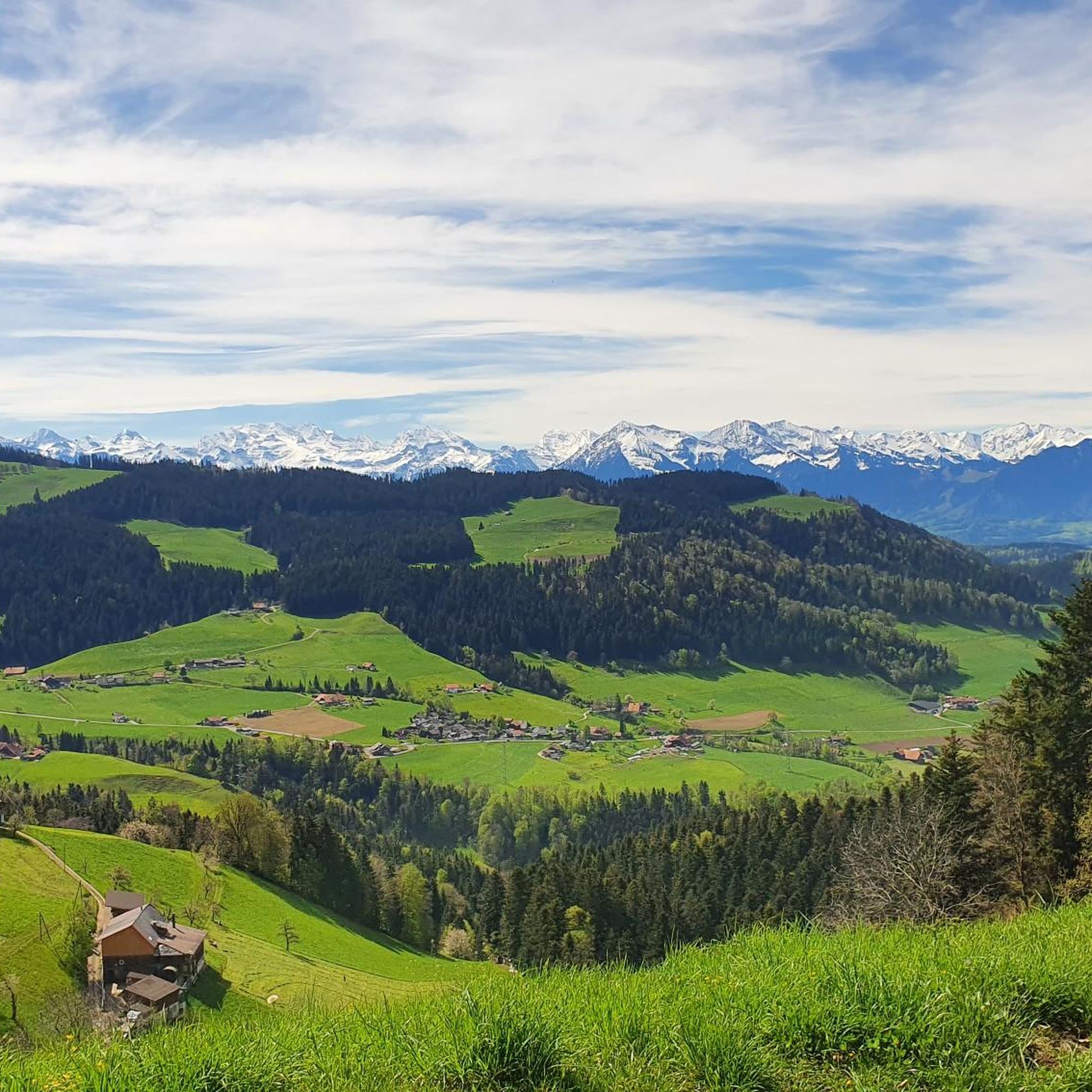
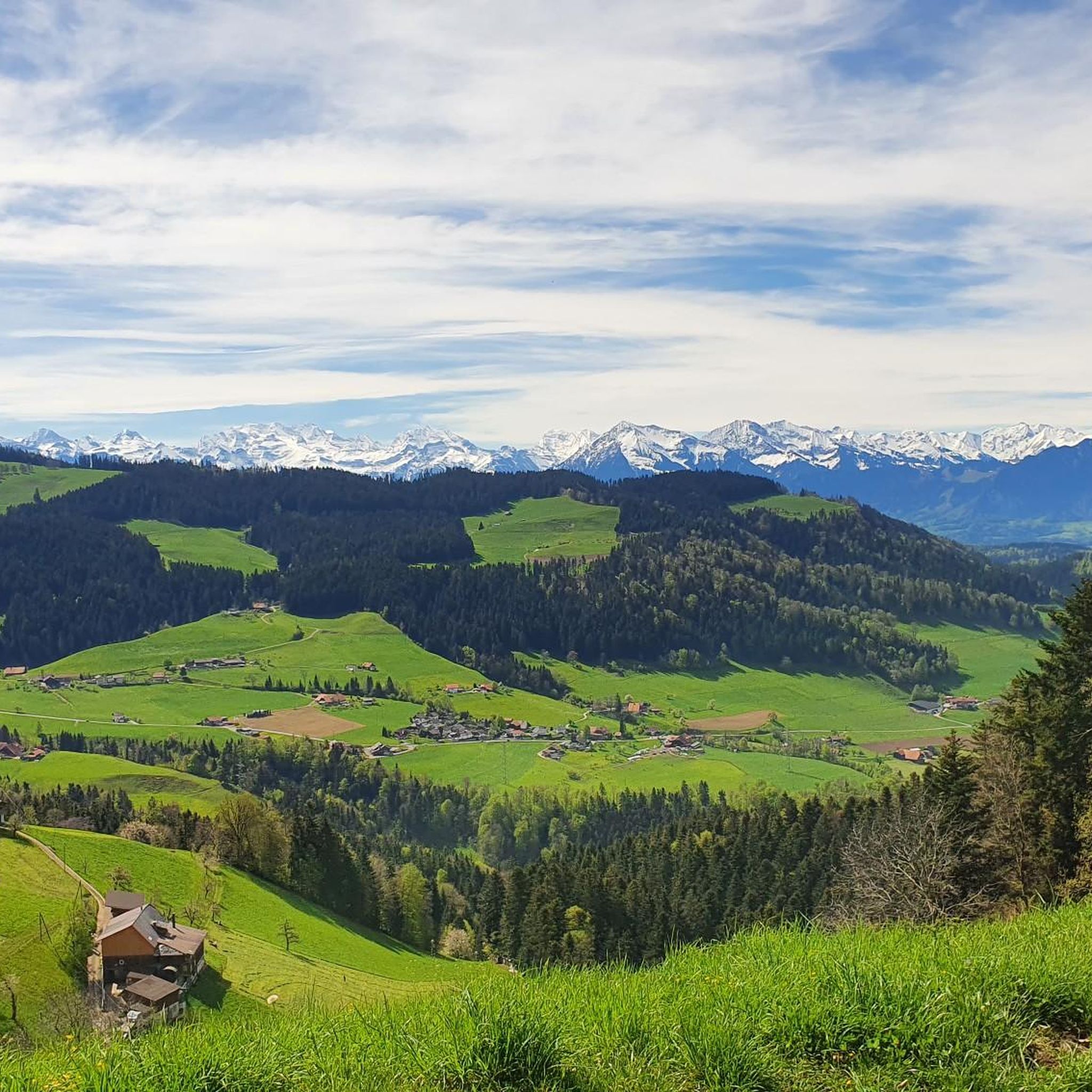
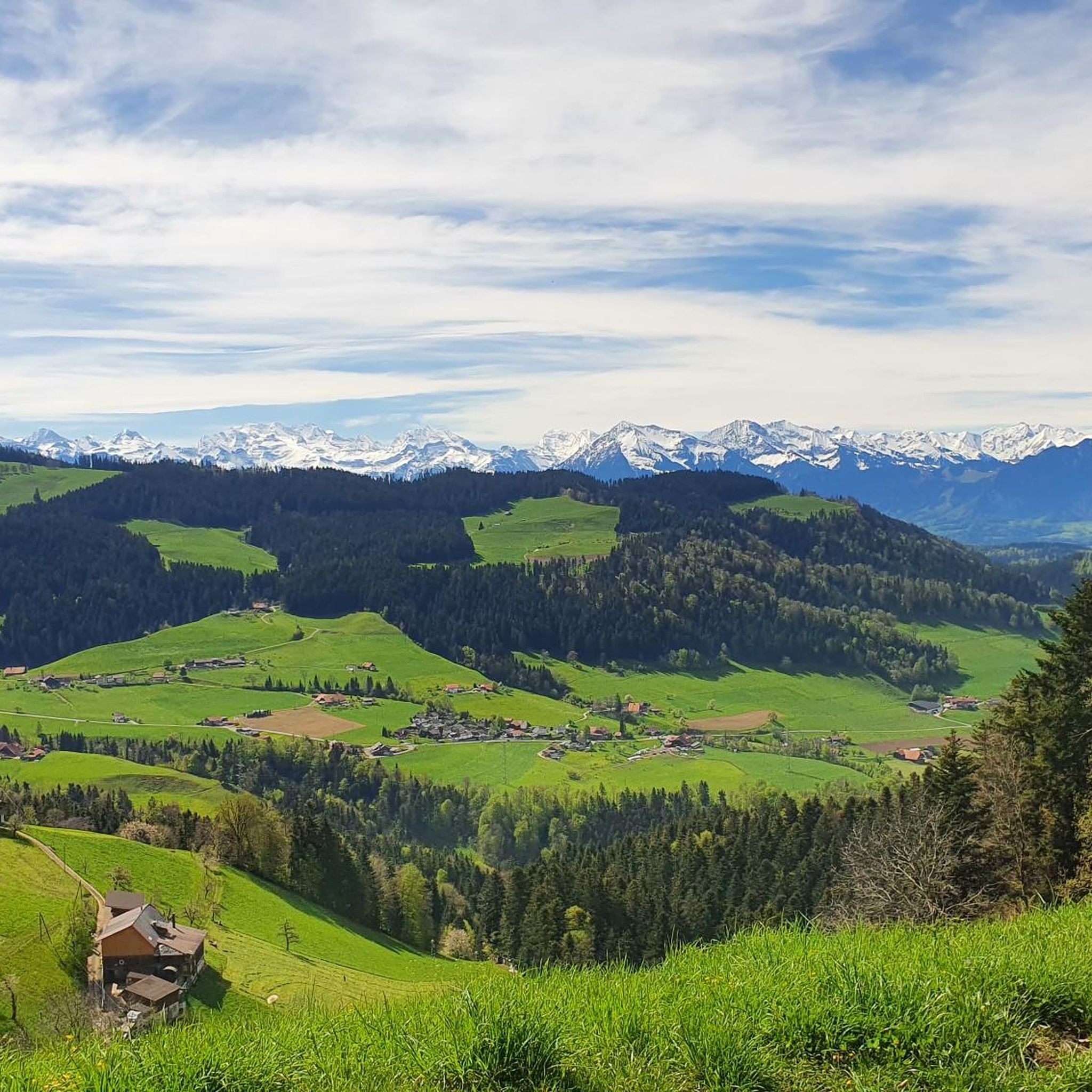
As you drive along the gravel roads, impressive views of the mighty Bernese Alps repeatedly open up. If the route continues straight, you can linger on the mountain peaks for a while, as there's no traffic.
0
0

Lake Gerzensee is privately owned. It's not possible to walk around it. From Kirchdorf, there's a dirt road that leads to a wonderful seating area.
0
0

Lake Gerzen is a lake located between the villages of Gerzensee, Mühledorf, and Kirchdorf in the canton of Bern, Switzerland. Its water level is at an average elevation of 603 meters above sea level. At normal water levels, the lake is approximately 8.5 meters deep on average and reaches a maximum of 11 meters deep, and has a surface area of 0.25 km², making it one of the medium-sized pre-Alpine lakes in Switzerland.
1
0


Newly built, wider suspension bridge over the Aare.
0
0

Frequently Asked Questions
How many gravel bike trails are available around Oberdiessbach?
There are over 100 gravel bike trails around Oberdiessbach, catering to various skill levels. You'll find a good mix, including 10 easy routes, 33 moderate options, and 63 more challenging trails for experienced riders.
What kind of terrain can I expect on gravel bike trails in Oberdiessbach?
The terrain around Oberdiessbach is quite varied, ranging from the rolling hills of the Bernese Midlands to higher altitudes in the Bernese Oberland. Routes often combine paved roads with unpaved tracks, gravel paths, and forest roads, offering a dynamic riding experience through river valleys, over ridges, and alongside the Aare River.
Are there any easy gravel bike routes suitable for beginners or families?
Yes, Oberdiessbach offers several easier gravel bike routes. For a relatively flat and scenic ride, consider the Zulgschwelle – Aare River Path loop from Kiesen, which is about 29 km long with minimal elevation gain. Another good option is the Thun Old Town and Castle – Aare Lock loop from Brenzikofen, a 21 km route that takes you past historic sites.
What are some challenging gravel bike routes in the area?
For a more demanding ride, the View of the Aare towards Thun – View of Spiez Bay loop from Brenzikofen is a difficult 107 km trail with significant elevation, offering extensive views. These longer routes often feature substantial climbs and descents, providing a good test for experienced gravel bikers.
What natural features or scenic viewpoints can I see along the trails?
Many routes offer stunning views of the Bernese Alps, Lake Thun, and the Aare River valley. You might encounter highlights like the Zulgschwelle waterfall or the picturesque Confluence of the Zulg and Aare. Elevated points often provide panoramic vistas of the surrounding landscape.
Are there any historical sites or attractions accessible by gravel bike?
Yes, the region is rich in history. You can cycle past several historic castles, such as Schloss Wyl, or incorporate a visit to Cholerenschlucht Gorge. The Emmental also features the Emmentaler Show Dairy, which can be a cultural and culinary stop on your ride.
What is the best time of year for gravel biking in Oberdiessbach?
The best time for gravel biking in Oberdiessbach is generally from spring through autumn. During these seasons, the weather is most favorable, and the trails are typically in good condition. While some routes might be accessible in winter, conditions can be challenging due to snow and ice, especially at higher elevations.
Are there any circular gravel bike routes available?
Many of the gravel bike routes around Oberdiessbach are designed as loops, allowing you to start and end at the same point. For example, the View of the Bernese Alps – Schützenfahrbrücke loop from Brenzikofen is a moderate 44 km circular path offering panoramic views.
What do other gravel bikers say about the trails in Oberdiessbach?
The gravel biking routes in Oberdiessbach are highly rated by the komoot community, with an average score of 4.7 stars from over 140 reviews. Riders frequently praise the diverse terrain, stunning views of the Bernese Alps and Aare River, and the variety of options for different skill levels.
Are there options for refreshments or cafes along the gravel bike routes?
While specific cafes are not listed for every route, the region around Oberdiessbach, being a popular outdoor destination, has various villages and towns where you can find cafes and restaurants. Many routes pass through or near these settlements, providing opportunities for a break and refreshments.
Is it possible to reach the starting points of trails by public transport?
Oberdiessbach and nearby towns like Brenzikofen and Kiesen are generally well-connected by public transport in Switzerland, often via train or bus services. You can typically plan your journey to reach a suitable starting point for your gravel bike adventure using local public transport networks.
Are there parking facilities available near the trailheads?
Yes, parking facilities are usually available in or near the towns and villages that serve as common starting points for these routes, such as Brenzikofen or Kiesen. It's advisable to check local parking options for your specific chosen trailhead before you set out.
Most popular routes around Oberdiessbach
Most popular attractions around Oberdiessbach

Get inspired with the komoot mobile app


Explore more
Browse the best Gravel rides in other regions.
