The best gravel rides around Villarzel
4.0
(14)
68
riders
22
rides
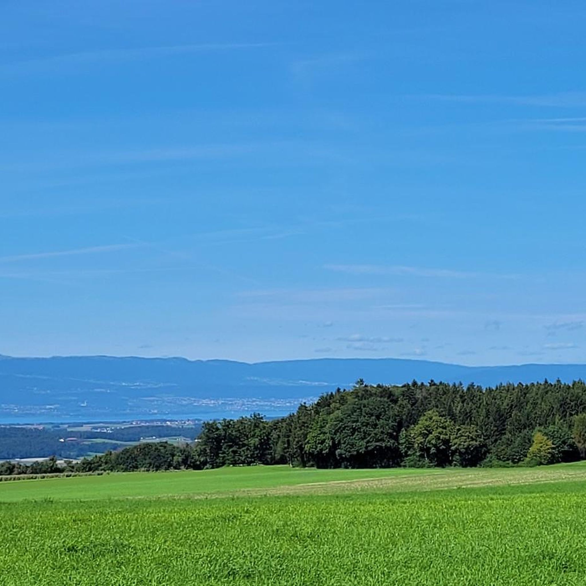
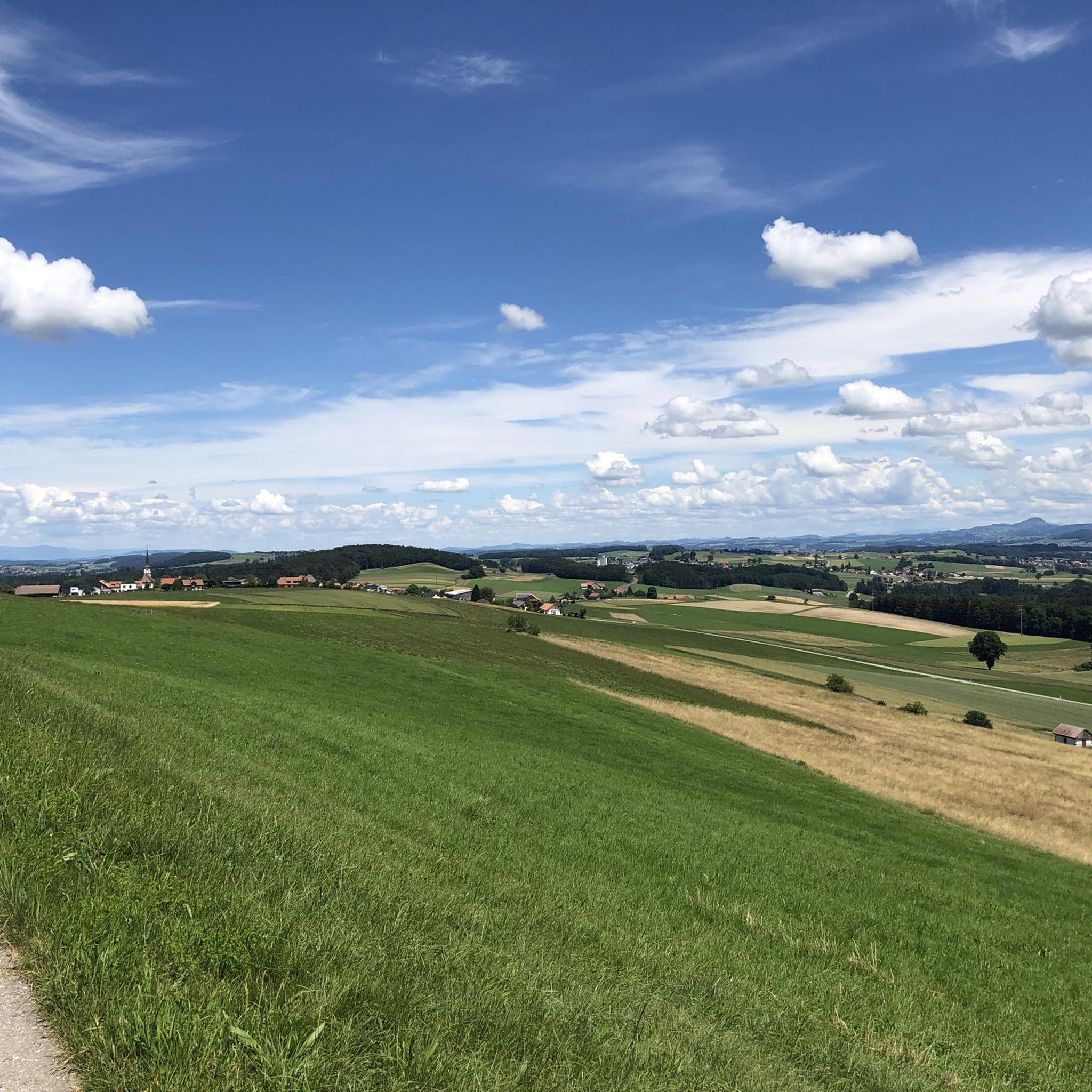
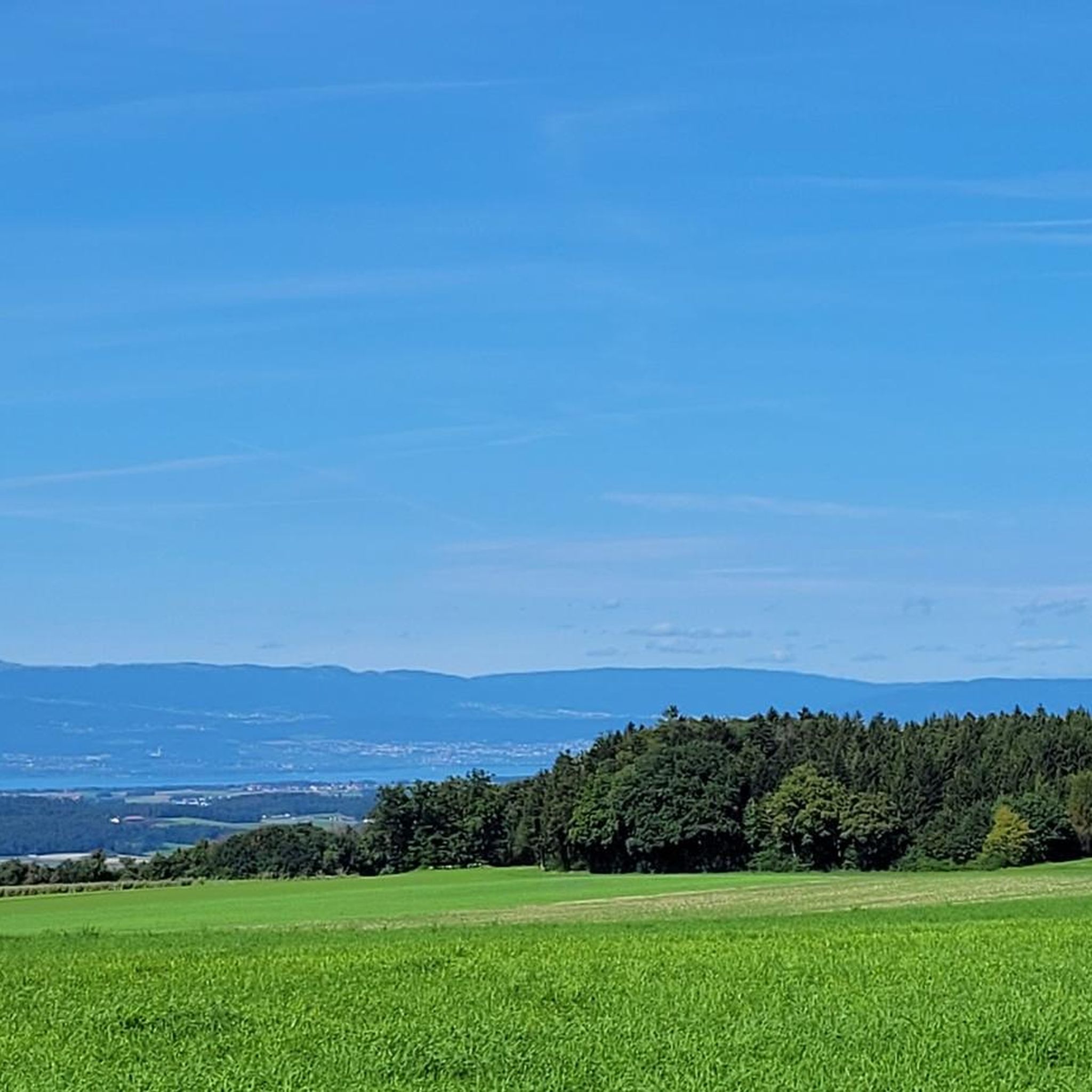
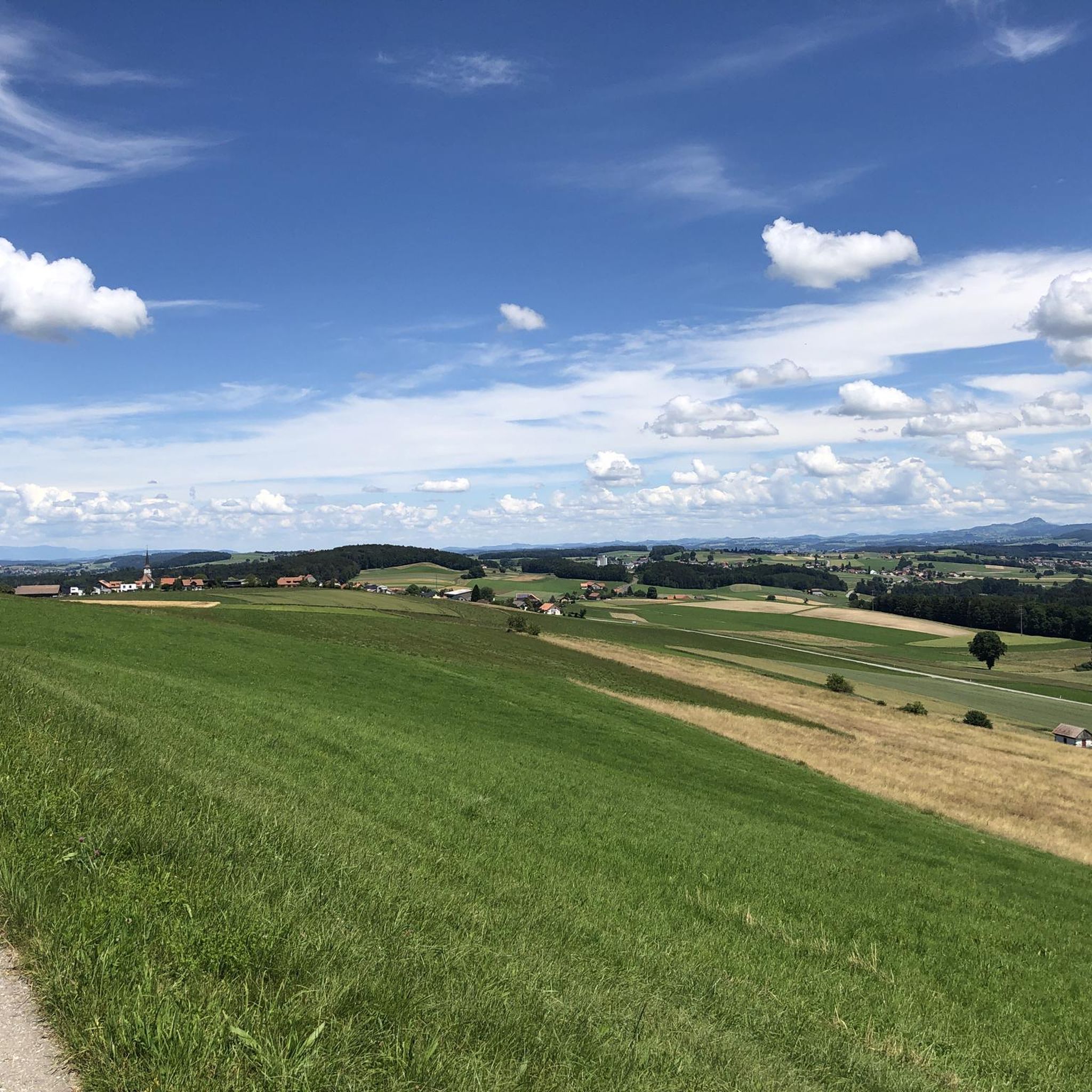
Gravel bike trails Villarzel traverse a varied landscape characterized by a mix of agricultural land and extensive forests. Situated between the Broye and Glâne valleys, the region features cultivated fields, wooded areas, and remote valleys. This geographical composition provides a network of paths suitable for gravel biking, blending open vistas with sheltered forest tracks.
Best gravel bike trails around Villarzel
- The most popular gravel bike trail is Through the nature reserve and along the shores of Lake Neuchâtel, a…
Last updated: July 2, 2026
4.1
(9)
26
riders
41.5km
03:05
250m
250m
This moderate 25.8-mile gravel biking route takes you through the La Grande Cariçaie nature reserve along the shores of Lake Neuchâtel.
4.4
(5)
18
riders
34.9km
02:25
100m
100m
Moderate gravel ride. Good fitness required. Mostly paved surfaces. Suitable for all skill levels.

Sign up for free
3.5
(2)
13
riders
Moderate gravel ride. Good fitness required. Mostly paved surfaces. Suitable for all skill levels.
5
riders
33.4km
02:40
510m
510m
Hard gravel ride. Very good fitness required. Mostly paved surfaces. Suitable for all skill levels.
8
riders
58.8km
03:44
560m
560m
Hard gravel ride. Very good fitness required. Mostly paved surfaces. Suitable for all skill levels.
Get access to more routes and recommendations from other explorers.
Sign up for free
Already have an account?
Our route recommendations are based on thousands of hikes, rides, and runs completed by other people on komoot.
Start today with a free account
Your next adventure awaits.
Login or Signup
Tips from the Community

This is a really fun singletrack to ride
0
0

Top gravel path along the beautiful Broye river
0
0

Estavayer has a historic & beautiful old town, a harbor and a large campsite
0
0


Always received with a smile
0
0

A very old temple, very well maintained... it's worth a look.
0
0
Lots of things to visit and the place to take a break and drink a good glass of wine from the cellars of the town
0
0
The wedding stone, go around it!! It brings luck
0
0
Frequently Asked Questions
How many gravel bike trails are available around Villarzel?
There are around 30 gravel bike trails in the Villarzel region. These routes traverse a varied landscape of agricultural fields and extensive forests, offering diverse terrain for exploration.
Are there gravel routes suitable for beginners or families in Villarzel?
While the guide primarily lists moderate to difficult routes, the varied landscape of Villarzel, with its mix of agricultural land and forest paths, offers potential for easier sections. For a moderate option, consider Through the nature reserve and along the shores of Lake Neuchâtel, which is 41.5 km long and takes about 3 hours. Always check the route details for specific difficulty and terrain to ensure it suits your group's abilities.
What kind of terrain can I expect on gravel bike trails near Villarzel?
The gravel bike trails around Villarzel feature a diverse mix of terrain. You'll encounter extensive agricultural fields, dense forests, and remote valleys. The region's geography, nestled between the Broye and Glâne valleys, provides a network of paths that blend open vistas with sheltered forest tracks, characteristic of the broader Jura region.
Are there any circular gravel bike routes available?
Yes, many of the gravel routes around Villarzel are designed as loops. For instance, the Brit Suspension Bridge – The Broye Singletrack loop from Granges-Marnand is a moderate 40.2 km path that explores the Broye valley. Another option is the Refuge des Alpes – The Broye Singletrack loop from Ménières, a 33.4 km trail through varied terrain.
What are some interesting landmarks or attractions I can see along the gravel routes?
While cycling, you can explore historical sites and natural features. The region is known for its castles, such as the Montagny Castle Ruins or Château de Lucens. The broader area also features scenic elements like the Broye canyons and Henniez springs, which are often part of local trail networks.
What do other gravel bikers say about the trails in Villarzel?
The gravel bike routes in Villarzel are highly regarded by the komoot community, with an average rating of 3.9 stars from over 10 reviews. Over 100 gravel bikers have used komoot to explore the varied terrain, often praising the blend of open agricultural vistas and challenging forest tracks.
Are there any longer, more challenging gravel routes near Villarzel?
Yes, for those seeking a longer and more challenging ride, consider routes like The Broye Singletrack – Estavayer-le-Lac loop from Cugy. This difficult route spans 58.3 km and offers significant elevation changes, providing a robust challenge for experienced gravel bikers.
Where can I find parking for gravel biking in Villarzel?
While specific parking spots directly in Villarzel for gravel biking are not detailed, the surrounding area offers options. For example, the Parcours VTT Lucens / Cremin – Car Park is a designated parking area that serves as a starting point for various bike trails in the vicinity.
What is the best season for gravel biking in Villarzel?
Villarzel's varied landscape, with its agricultural fields and forests, is enjoyable across multiple seasons. Spring and autumn offer pleasant temperatures and vibrant scenery. While specific winter conditions vary, the region's trails can be explored, though some forest tracks might be affected by snow or mud. Always check local weather conditions before heading out.
Are there any routes that pass by a lake or nature reserve?
Absolutely. The route Through the nature reserve and along the shores of Lake Neuchâtel is a popular choice. This 41.5 km trail offers varied terrain and takes you directly through natural reserves and along the scenic shores of Lake Neuchâtel, providing beautiful views and a unique riding experience.
Can I combine gravel biking with exploring historical sites in the region?
Yes, the region around Villarzel is rich in history. Beyond the medieval fortified site of Ressat and the ruins of the ancient Château du Châtelard within Villarzel itself, you can plan routes that pass by other historical landmarks. For example, the View of Oleyres – Roman Theater of Aventicum loop from Payerne offers a moderate 33.6 km ride that includes historical points of interest.
Most popular attractions around Villarzel

Get inspired with the komoot mobile app


Explore more
Browse the best Gravel rides in other regions.
