The best gravel rides around Gaiserwald
4.4
(164)
744
riders
69
rides
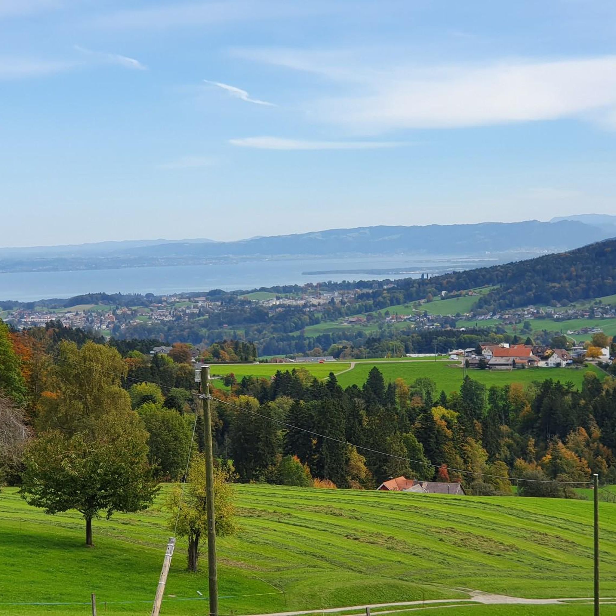
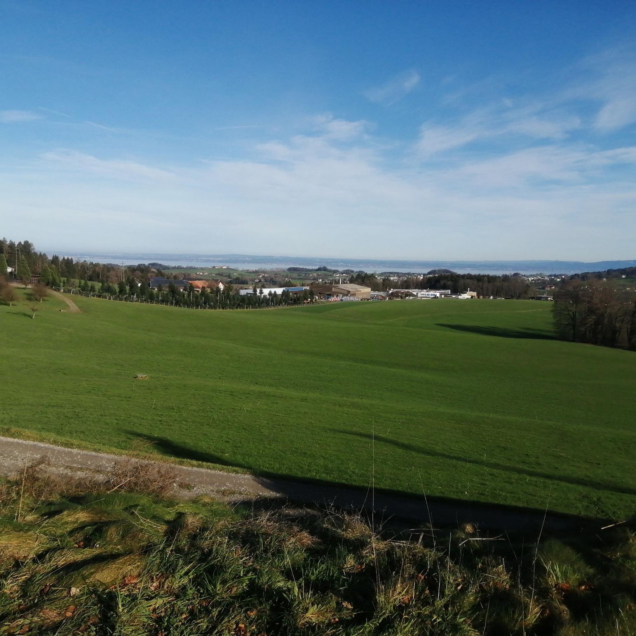
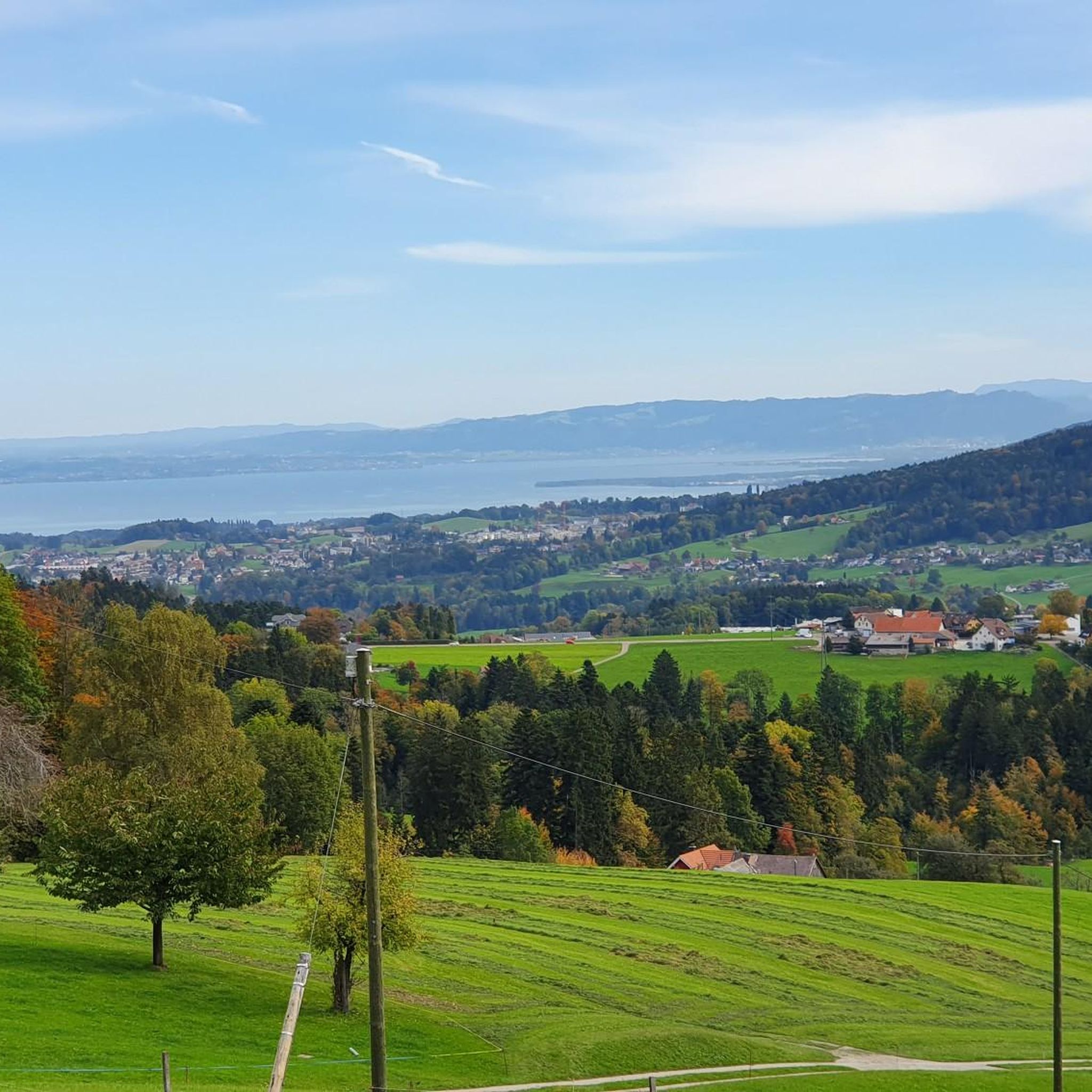
Gravel biking around Gaiserwald offers a diverse landscape characterized by hilly terrain, forests, and river valleys. The region features a network of paths that combine elements of road and mountain biking, providing varied ascents and descents. The Sitter River flows through the area, offering scenic riverside sections, while elevated viewpoints like Ätschberg provide expansive perspectives. This mix of natural features creates a dynamic environment for gravel cyclists.
Best gravel bike trails around Gaiserwald
- The most popular gravel bike trail is…
Last updated: October 6, 2026
4.2
(5)
30
riders
66.6km
05:44
1,560m
1,560m
Hard gravel ride. Very good fitness required. Mostly paved surfaces. Suitable for all skill levels.
4.0
(2)
18
riders
40.4km
03:18
810m
810m
Hard gravel ride. Very good fitness required. Mostly paved surfaces. Suitable for all skill levels.

3.0
(2)
15
riders
Hard gravel ride. Very good fitness required. You may need to push your bike for some segments of this route.
5.0
(66)
29
riders
Hard gravel ride. Very good fitness required. Mostly paved surfaces. Suitable for all skill levels.
4.0
(1)
10
riders
23.2km
01:48
520m
520m
Hard gravel ride. Very good fitness required. Mostly paved surfaces. Suitable for all skill levels.
Get access to more routes and recommendations from other explorers.
Already have an account?
Our route recommendations are based on thousands of hikes, rides, and runs completed by other people on komoot.
Start today with a free account
Your next adventure awaits.
Tips from the Community

Really evocative wooden bridge
0
0

In the old town, the artistically decorated oriel windows stand out, bearing witness to the travels of the St. Gallen textile merchants of the 18th and 19th centuries all over the world. They are a reminder of St. Gallen's importance in the linen and embroidery trade. There are more than a hundred such oriel windows in the old town. Some are multi-story, painted, or carved from wood.
10
0


Info: Bridge currently closed due to construction. August 18, 2025
0
0


on a hiking trail suddenly such a large wooden bridge
0
0
well-developed cycle path with separate footpath
0
0
Frequently Asked Questions
How many gravel bike trails are available around Gaiserwald?
Gaiserwald offers a wide selection of gravel bike trails, with over 120 routes available. These range from moderate to difficult, providing options for various skill levels.
What is the general terrain like for gravel biking in Gaiserwald?
The terrain around Gaiserwald is characterized by its hilly landscape, forests, and river valleys. You can expect a mix of ascents and descents, with paths combining elements of road and mountain biking. The Sitter River also offers scenic riverside sections, providing a diverse cycling experience.
Are there any challenging gravel routes with significant elevation gain?
Yes, Gaiserwald is known for its challenging routes. For instance, the Appenzell Route is a difficult 41.4-mile (66.6 km) trail with over 1,500 meters of elevation gain, taking approximately 5 hours and 44 minutes to complete.
What kind of views or natural landmarks can I expect to see on the gravel trails?
Gravel biking in Gaiserwald offers expansive views from elevated viewpoints like the Aetschberg and Höchi in Engelburg. You'll also traverse diverse landscapes including forests and open countryside. The Sitter River provides picturesque riverside paths, and the region's proximity to the Alpstein mountains and Lake Constance means you might catch glimpses of these larger natural areas.
Are there any circular gravel routes in the Gaiserwald area?
Yes, many routes are designed as loops. A notable example is the Pre-Alpine landscape – Haggen Bridge (Ganggelibrugg) loop from St. Gallen Bruggen, a difficult 36.2-mile (58.3 km) path that takes you through pre-Alpine landscapes and along the Sitter River.
What do other gravel bikers say about the trails in Gaiserwald?
The gravel routes in Gaiserwald are highly rated by the komoot community, with an average score of 4.5 stars from over 200 reviews. Many riders praise the varied terrain and the dynamic environment for cycling.
Are there any family-friendly gravel biking options in Gaiserwald?
While many routes are challenging, the region does offer some easier paths suitable for families. The Sitterstrandweg along the Sitter River, for example, is generally flatter and more relaxed, providing a scenic option for a less strenuous ride.
What are some interesting places to explore near the gravel bike trails?
Beyond the trails, you can explore several attractions. Consider visiting the historic Arbon Old Town or enjoying the Arbon Harbor and Lakeside Promenade on Lake Constance. The Hagenwil Moated Castle is another historical site worth seeing.
Is there a route that offers views of the Alpstein mountains?
Absolutely. The Alpstein View – Gübsensee West Dam loop from St. Gallen AB is a difficult 40.4-mile (65.1 km) route that provides stunning vistas of the Alpstein range, alongside other scenic points like the Gübsensee West Dam.
What is the best time of year for gravel biking in Gaiserwald?
Gaiserwald's varied terrain is enjoyable across multiple seasons. Spring and autumn offer pleasant temperatures and vibrant scenery. Summer is also great, though some ascents might be more strenuous. Winter conditions can vary, so checking local weather and trail conditions is advisable for off-road cycling.
Are there any routes that pass by the Haggen Bridge?
Yes, the Haggen Bridge (Ganggelibrugg) is a significant landmark in the area. The Haggen Bridge (Ganggelibrugg) – St. Anton Viewpoint loop from St. Gallen Haggen is a 40.8-mile (65.7 km) trail that specifically features this bridge and leads through hilly terrain to the St. Anton Viewpoint.
Are there options for shorter, yet still scenic, gravel rides?
For a slightly shorter but still scenic and challenging ride, consider the Aetschberg, Alpstein View – View from Sonnenberg loop from St. Gallen AB. This 18.6-mile (29.9 km) difficult route offers views from Aetschberg and of the Alpstein mountains, typically completed in under 3.5 hours.
Most popular routes around Gaiserwald
Most popular attractions around Gaiserwald

Get inspired with the komoot mobile app


Explore more
Browse the best Gravel rides in other regions.
