The best gravel rides around Romoos
4.7
(17)
129
riders
30
rides
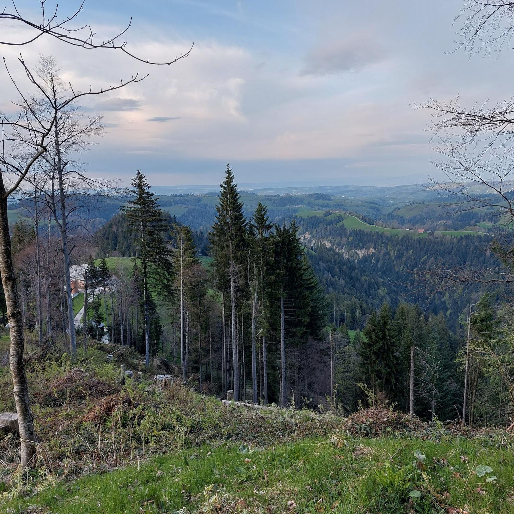
Gravel biking around Romoos, located within the UNESCO Entlebuch Biosphere, features diverse terrain suitable for various skill levels. The region is characterized by extensive moorlands, unique karst landscapes, and a mix of paved roads and dirt tracks. Riders encounter rolling hills, tranquil forests, and meadows, with routes often including significant elevation gains. The landscape is further shaped by the Napf massif, offering challenging climbs, and numerous rivers and streams.
Best gravel bike trails around Romoos
- The most popular gravel bike…
Last updated: July 2, 2026
5.0
(1)
8
riders
32.4km
02:33
840m
840m
Hard gravel ride. Very good fitness required. Mostly paved surfaces. Suitable for all skill levels.
5.0
(1)
5
riders
58.4km
04:53
1,580m
1,580m
Hard gravel ride. Very good fitness required. You may need to push your bike for some segments of this route.

Sign up for free
4.3
(3)
6
riders
32.4km
03:04
1,240m
1,240m
Hard gravel ride. Very good fitness required. You may need to push your bike for some segments of this route.
12
riders
Hard gravel ride. Very good fitness required. Mostly paved surfaces. Suitable for all skill levels.
3
riders
25.7km
02:23
940m
940m
Hard gravel ride. Very good fitness required. Mostly paved surfaces. Suitable for all skill levels.
Get access to more routes and recommendations from other explorers.
Sign up for free
Already have an account?
Our route recommendations are based on thousands of hikes, rides, and runs completed by other people on komoot.
Start today with a free account
Your next adventure awaits.
Login or Signup
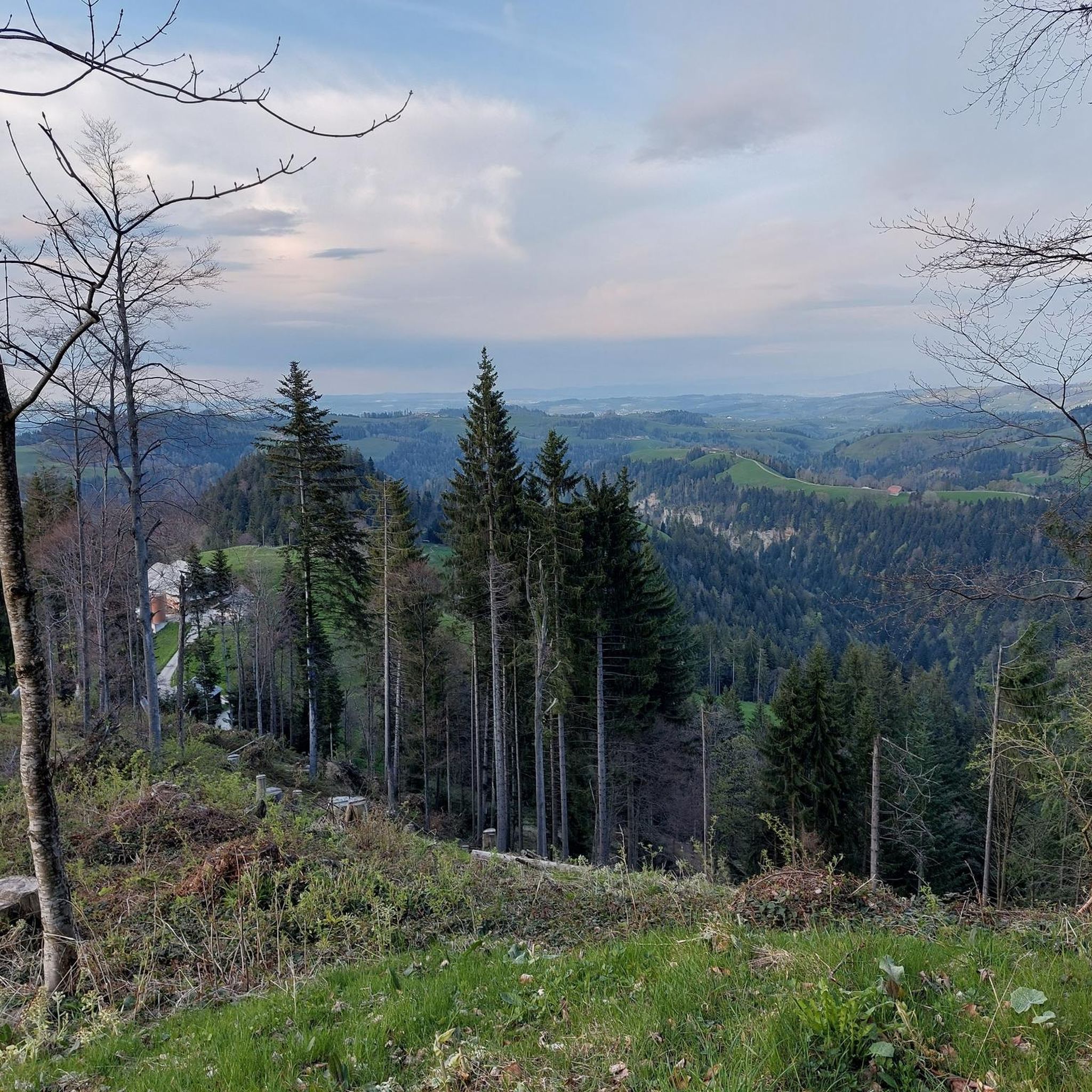
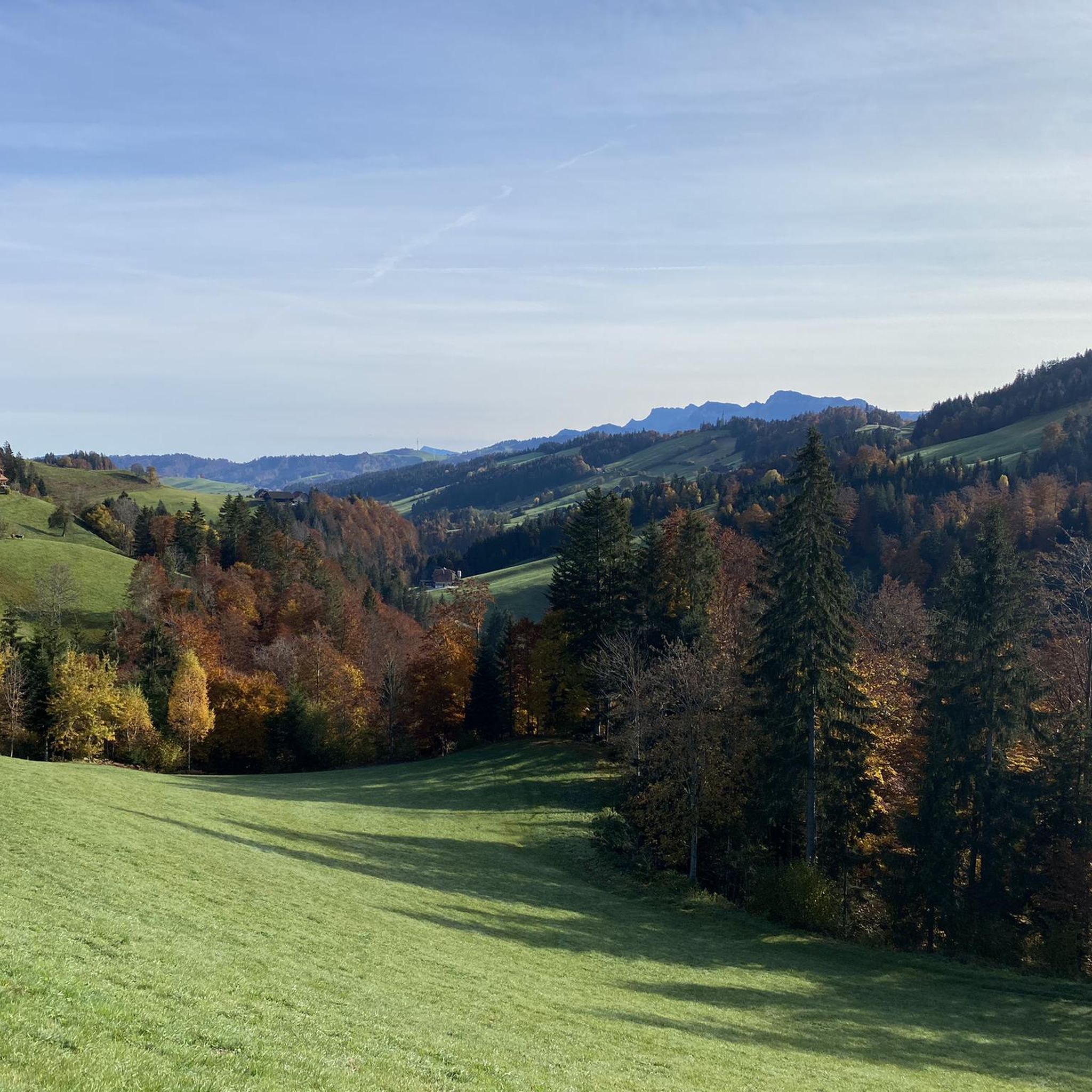
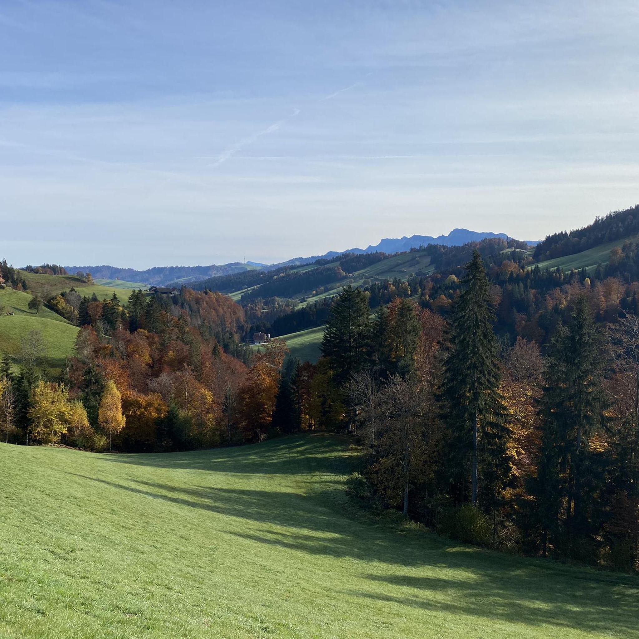
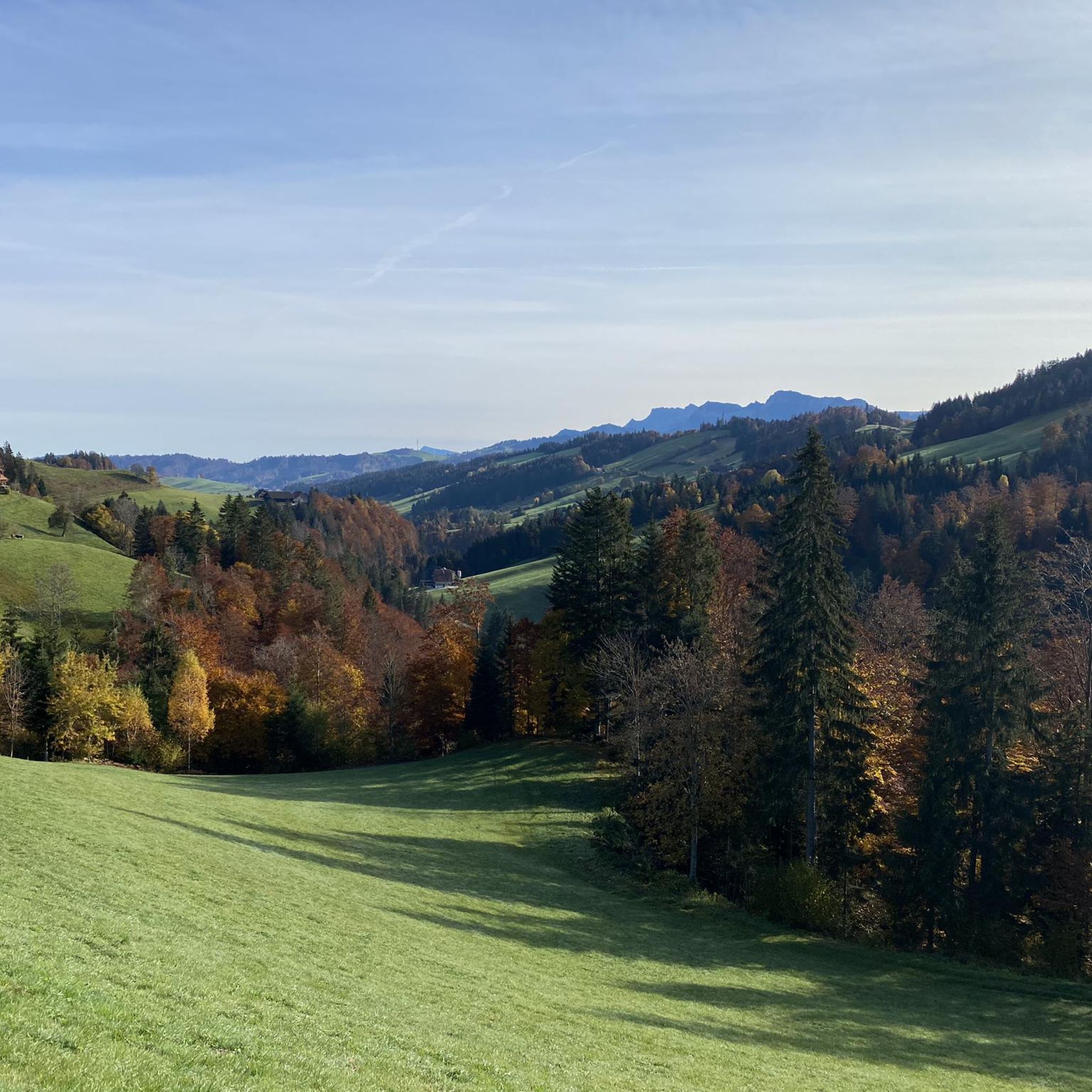
Tips from the Community

Entrance gate to the historic old town of Willisau
0
0

very pretty, this area
1
0
super cool tour to the Napf
1
0
pretty here, very pretty. is definitely worth a visit.
2
0
Frequently Asked Questions
How many gravel bike trails are available around Romoos?
There are over 40 gravel bike trails around Romoos, offering a wide range of experiences within the UNESCO Entlebuch Biosphere. These routes cater to various skill levels, from moderate to difficult.
What kind of terrain can I expect on gravel bike trails in Romoos?
Gravel biking in Romoos features diverse terrain, including extensive moorlands, unique karst landscapes, and the challenging Napf massif. You'll encounter a mix of paved roads and well-maintained dirt tracks, with routes often including significant elevation gains through rolling hills, tranquil forests, and meadows.
Are there any family-friendly gravel bike routes in Romoos?
While many routes in Romoos involve significant elevation and are rated difficult, there are a few moderate options available. For families, it's best to look for routes with less elevation gain and shorter distances. Always check the route details on komoot for specific difficulty ratings and terrain before heading out.
Can I bring my dog on the gravel bike trails around Romoos?
Many trails in the Romoos region, especially those through natural landscapes like forests and meadows, are suitable for dogs. However, it's always recommended to keep your dog on a leash, especially in areas with wildlife or livestock, and to check local regulations for specific trails within the UNESCO Entlebuch Biosphere.
What are some notable natural features or viewpoints I can see along the gravel bike routes?
The region is rich in natural beauty. You can expect to see extensive moorlands, unique karst areas, and the Napf massif, which offers breathtaking views. Some routes also feature natural spectacles like waterfalls, such as the Waterfall on the trail between Menzberg and Wolhusen, and impressive 'Chrachen' (deeply cut ditches). The Wichelsee – View of Lake Lucerne loop from Wolhusen offers extensive views of Lake Lucerne.
Are there any circular gravel bike routes in the Romoos area?
Yes, many gravel bike routes around Romoos are designed as loops, allowing you to start and end at the same point. Examples include the Old Hergiswald Bridge – Chraigütsch loop from Entlebuch and the Stächelegg Mountain Inn – View of the Bernese Oberland from Napf loop from Entlebuch, which takes you through the scenic Napf region.
What is the best time of year for gravel biking in Romoos?
The best time for gravel biking in Romoos is typically from spring through autumn when the weather is milder and trails are generally dry. During these seasons, you can fully enjoy the diverse landscapes, from wild moorlands to panoramic alpine passes. Winter conditions can be challenging due to snow and ice, making many trails less accessible for gravel biking.
Are there places to eat or stay near the gravel bike trails in Romoos?
Yes, the region offers various amenities. You'll find cozy alpine huts, known as 'Alpbeizlis,' and specific establishments like the Stächelegg Mountain Inn, which provide opportunities for rest and refreshments along cycling routes. The area also encourages discovering local specialties through initiatives like the 'culinary treasure hunt Savurando' or by visiting local producers.
What do other gravel bikers say about the trails in Romoos?
The gravel bike trails in Romoos are highly rated by the komoot community, with an average score of 4.6 stars from over 20 reviews. Reviewers often praise the varied terrain, the challenging climbs, and the stunning natural beauty of the UNESCO Entlebuch Biosphere.
Is public transport available to reach the starting points of gravel bike trails in Romoos?
Public transport options are available to reach various starting points in the Romoos region. It's advisable to check local bus and train schedules to plan your journey to trailheads, especially in smaller villages within the Entlebuch Biosphere. Some routes, like the View of Lake Sempach – Flüsskapelle Above Nottwil loop from Entlebuch, can be accessed from towns with public transport connections.
Are there any permits required for gravel biking in the Entlebuch Biosphere?
Generally, no specific permits are required for gravel biking on designated trails within the UNESCO Entlebuch Biosphere. However, it's always good practice to respect local signage, private property, and nature protection zones. Adhere to Swiss cycling regulations, especially on unpaved roads and shared paths.
What are some of the more challenging gravel bike routes in Romoos?
Romoos is known for its challenging terrain, particularly around the Napf massif. Routes like the Old mule track – Finish hut loop from Schüpfheim feature significant elevation gains and are rated as difficult, offering a robust experience for experienced riders.
Most popular attractions around Romoos

Get inspired with the komoot mobile app


Explore more
Browse the best Gravel rides in other regions.
