The best gravel rides around Mühlethurnen
4.6
(67)
531
riders
32
rides
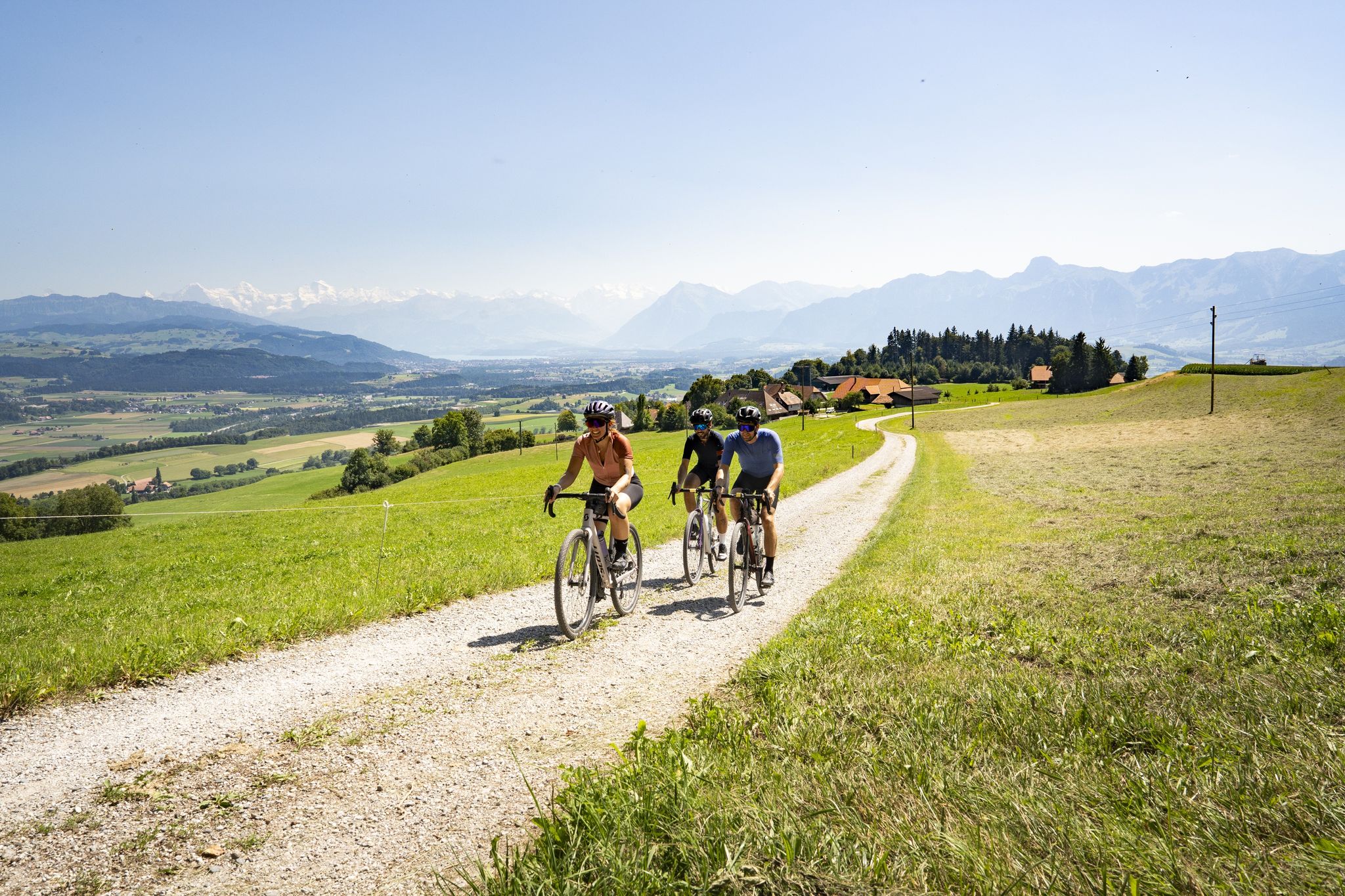
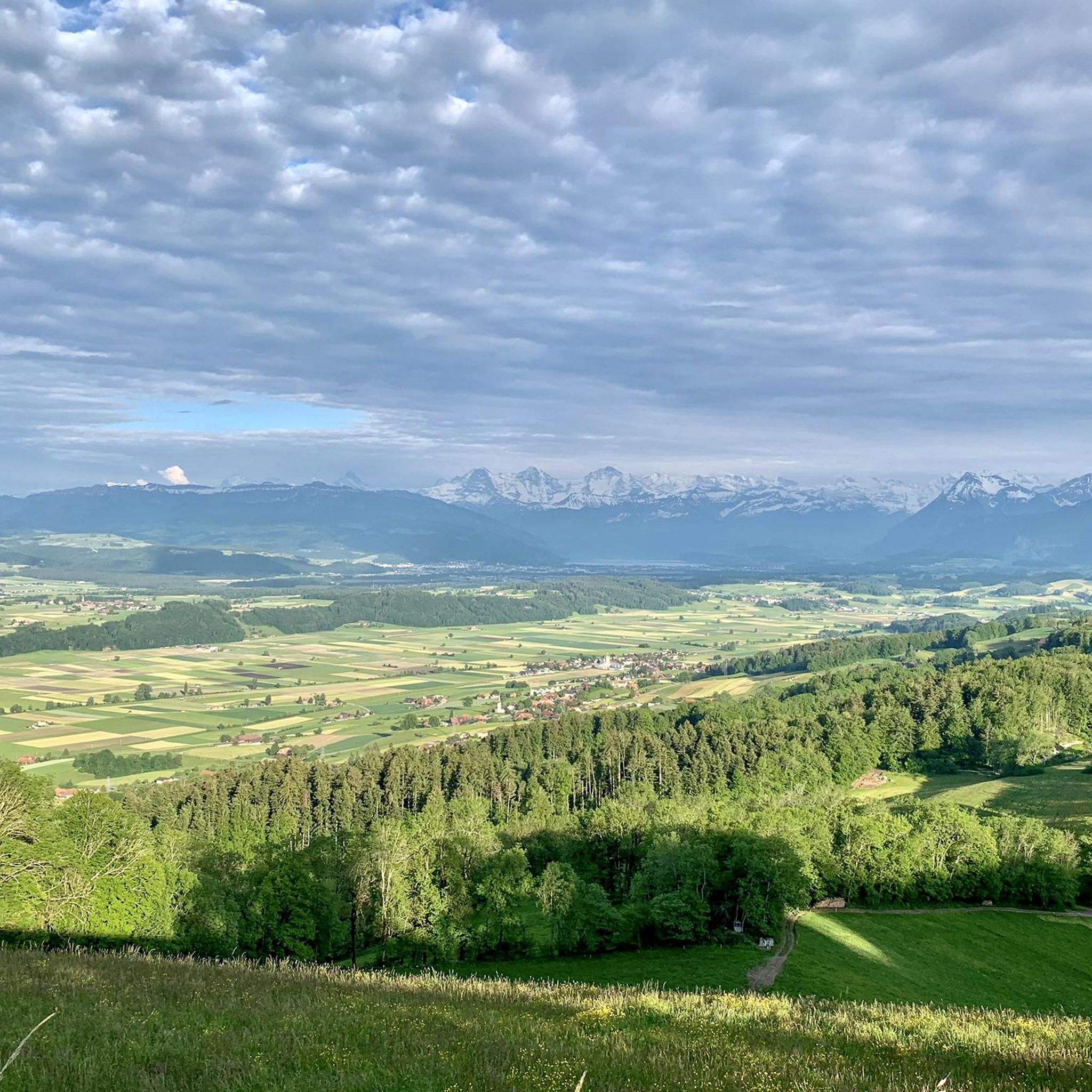
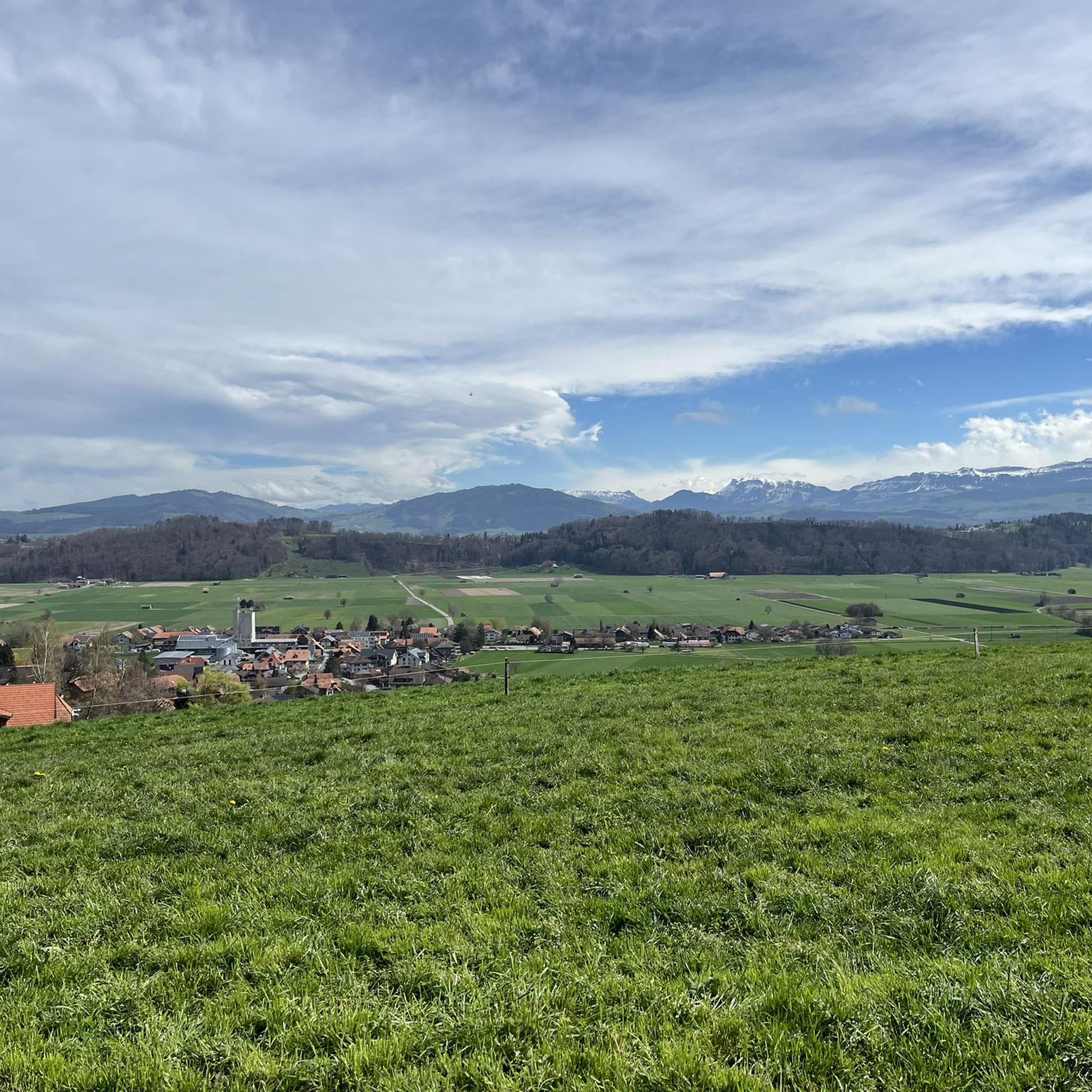
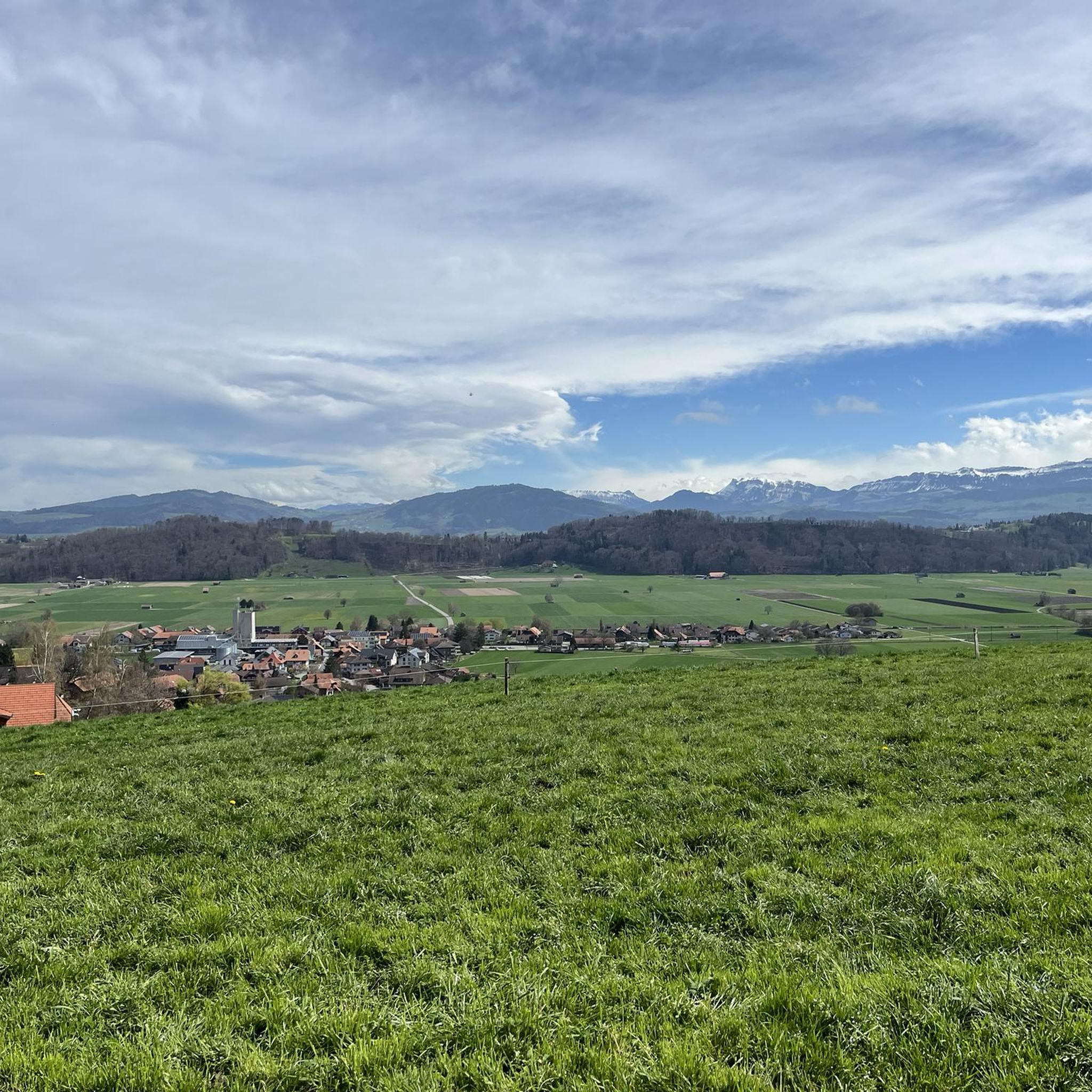
Gravel biking around Mühlethurnen offers routes through varied landscapes, characterized by river valleys, views of the Bernese Alps, and proximity to Lake Thun. The region features a mix of open fields, forested sections, and rolling terrain suitable for gravel cycling. Routes often follow the Gürbe and Aare Rivers, providing scenic paths with moderate elevation changes. Mühlethurnen is situated in the Gürbetal valley, on the slopes of the Längenberg mountain, providing access to forest paths, gravel roads, and dirt tracks.
Best…
Last updated: July 9, 2026
4.1
(15)
161
riders
Moderate gravel ride. Good fitness required. Mostly paved surfaces. Suitable for all skill levels.
4.5
(6)
70
riders
44.7km
02:34
180m
180m
Moderate gravel ride. Good fitness required. Mostly paved surfaces. Suitable for all skill levels.

Sign up for free
4.1
(7)
33
riders
Moderate gravel ride. Good fitness required. Mostly paved surfaces. Suitable for all skill levels.
4.0
(2)
32
riders
57.5km
03:15
290m
290m
Moderate gravel ride. Good fitness required. Mostly paved surfaces. Suitable for all skill levels.
5.0
(1)
8
riders
61.6km
04:45
1,560m
1,560m
Hard gravel ride. Very good fitness required. You may need to push your bike for some segments of this route.
Get access to more routes and recommendations from other explorers.
Sign up for free
Already have an account?
Our route recommendations are based on thousands of hikes, rides, and runs completed by other people on komoot.
Start today with a free account
Your next adventure awaits.
Login or Signup
Other adventures around Mühlethurnen

Tips from the Community

The Wahlern church is visible from afar on a hill above Schwarzenburg. It was first mentioned in documents in 1228. Fun fact about the bells: They were cast in Aarau in 1902 from old fortress cannons from Manila. The church is a popular venue for weddings today.
1
0
Here is the old Schwarzwasser bridge, which leads over the river Schwarzwasser. The stone bridge offers some sights worth seeing. On one side of the bridge, the water has formed impressive channels and crevices in the sandstone slabs. On the other side, a small island offers a pleasant opportunity to use the river as a bathing spot in the summer. Further ahead, the newer Schwarzwasser bridge can be seen.
1
0
The Belper Giesse is a nature reserve and is located between the airport and the river Aare. It is designated as a breeding ground for amphibians and also as a floodplain of national importance. The untouched water landscape can be beautifully observed from the path that leads here to the Aare.
1
0

The Hechtenloch is a nature reserve where entry is not permitted, but you can still see it.
0
0


Flooding at Chräbsbächli and ar Aare ir Elfenau
0
0

The picnic at this spot, with a great view.
0
0
Frequently Asked Questions
How many gravel bike trails are available around Mühlethurnen?
There are over 70 gravel bike routes around Mühlethurnen, offering a wide range of options for different skill levels. You'll find everything from moderate loops to more challenging long-distance routes.
What kind of terrain can I expect on gravel bike trails near Mühlethurnen?
The gravel bike trails around Mühlethurnen feature varied landscapes, including river valleys, open fields, and forested sections. Many routes follow the Aare River, providing scenic paths with rolling terrain and moderate elevation changes, often with views of the Bernese Alps.
Are there any beginner-friendly gravel bike routes in the Mühlethurnen area?
Yes, Mühlethurnen offers several routes suitable for beginners. While many are moderate, you can find easier sections, particularly along the Aare River. For a good starting point, consider exploring parts of the Aare River near Münsingen – View of the Aare towards Thun loop from Kaufdorf, which offers extensive views and generally manageable terrain.
Where can I find challenging gravel bike routes around Mühlethurnen?
For more advanced gravel bikers seeking a challenge, routes like the View of the Aare towards Thun – Along Lake Thun loop from Thurnen offer a significant distance of 72.4 miles (116.5 km) and considerable elevation gain, leading through riverine landscapes and along Lake Thun.
Are there any circular gravel bike routes available?
Yes, many of the gravel bike routes around Mühlethurnen are designed as loops. For instance, the View of the Bernese Alps – Schützenfahrbrücke loop from Brenzikofen is a popular circular option that provides panoramic vistas of the Bernese Alps.
What are the best times of year for gravel biking in Mühlethurnen?
The region is generally enjoyable for gravel biking from spring through autumn. Summer offers pleasant conditions for longer rides, while spring and autumn provide beautiful scenery with milder temperatures. Winter conditions can vary, so it's advisable to check local weather and trail conditions before heading out.
What do other gravel bikers enjoy most about Mühlethurnen?
The area is highly rated by the komoot community, with an average score of 4.7 stars from over 100 reviews. Reviewers often praise the diverse landscapes, the scenic paths along the Aare River, and the stunning views of the Bernese Alps.
Are there any viewpoints or scenic spots along the gravel routes?
Absolutely. Many routes offer spectacular views, particularly of the Bernese Alps and along the Aare River. The View of the Bernese Alps – Schützenfahrbrücke loop from Brenzikofen is specifically known for its panoramic vistas. You can also find highlights like View of Gerzensee which offer great photo opportunities.
Where can I park my car when starting a gravel bike tour in Mühlethurnen?
Mühlethurnen and its surrounding villages like Kaufdorf, Brenzikofen, and Toffen often have public parking available near trailheads or village centers. It's recommended to check local parking regulations and availability for your specific starting point.
Are there any interesting natural attractions or landmarks near the gravel bike trails?
Yes, the region boasts several beautiful lakes and viewpoints. You might encounter highlights such as Blauseeli, Uttigen, Übeschisee, or Dittligsee. These offer great spots for a break or to enjoy the natural beauty.
Can I find routes that pass by cafes or places to stop for refreshments?
While specific cafe stops aren't always marked, many routes pass through or near villages where you can find local eateries or shops for refreshments. Planning your route with a map that shows towns and villages will help you identify potential stops along the way.
What is the typical duration for a gravel bike ride in this area?
Ride durations vary significantly based on the route's distance and your pace. For example, a moderate route like the Cycle Route North of Bern – View of the Bernese Alps loop from Toffen, which is 35.9 miles (57.7 km), typically takes around 4 hours. Longer, more challenging routes can take 8 hours or more.
Most popular routes around Mühlethurnen
Most popular attractions around Mühlethurnen

Get inspired with the komoot mobile app


Explore more
Browse the best Gravel rides in other regions.
