The 6 Most Amazing Peaks around Ruppertshüttener Forst
Best mountain peaks around Ruppertshüttener Forst are found within a hilly, forested landscape in the Main-Spessart district of Bavaria. This region, part of the wider Spessart, features elevations up to approximately 567 meters. Visitors exploring Ruppertshüttener Forst hiking trails will encounter a dense natural environment, offering recreational opportunities across varied terrain. The area's natural features provide a tranquil setting for outdoor activities.
Best mountain peaks around Ruppertshüttener Forst
- The most popular mountain peaks is Sohlhöhe Viewpoint and Upper Reservoir,…
Last updated: July 1, 2026
Hermannskoppe Summit (567 m)
Highlight • Summit
Translated by Google •
Tip by

Erkelshöhe – Highest Point of Wiesen
Highlight • Summit
Translated by Google •
Tip by

Sign up now to discover places like this
Get recommendations on the best single tracks, peaks, & plenty of other exciting outdoor places.
Sign up for free
Sohlhöhe Viewpoint and Upper Reservoir
Highlight • Viewpoint
Translated by Google •
Tip by

Iron Signpost at Lohrberg
Highlight • Monument
Translated by Google •
Tip by

Lindwurm: MTB R4 Flowtrail Classic
Highlight (Segment) • MTB Park
Translated by Google •
Tip by

Sign up for free to discover even more peaks around Ruppertshüttener Forst.
Sign up for free
Already have an account?
Start today with a free account
Your next adventure awaits.
Login or Signup

Tips from the Community


The Erkelshöhe (historically: Mertel) is a 517 m above sea level. NHN high mountain in the Spessart in the Bavarian district of Aschaffenburg and in the Hessian Main-Kinzig district in Germany. The Erkelshöhe lies between the towns of Wiesen and Flörsbach. The state border runs across the summit between the municipality of Flörsbachtal (Hesse) and the unincorporated area of Wiesener Forst (Bavaria). In the southeast, the Erkelshöhe goes flat to the Sauberg (454 m). Both mountains belong to the Sailhöhe ridge stretching towards Wiesthal. West of the summit, about a kilometer away, is the village of Wiesen im Aubachtal; on the south-eastern slopes is the town of Mosborn on the upper reaches of the Laubersbach. North of the mountain are the Wiesbüttsee and the Wiesbüttmoor. The Franconian Marienweg leads over the Erkelshöhe. Source: Wikipedia
3
0

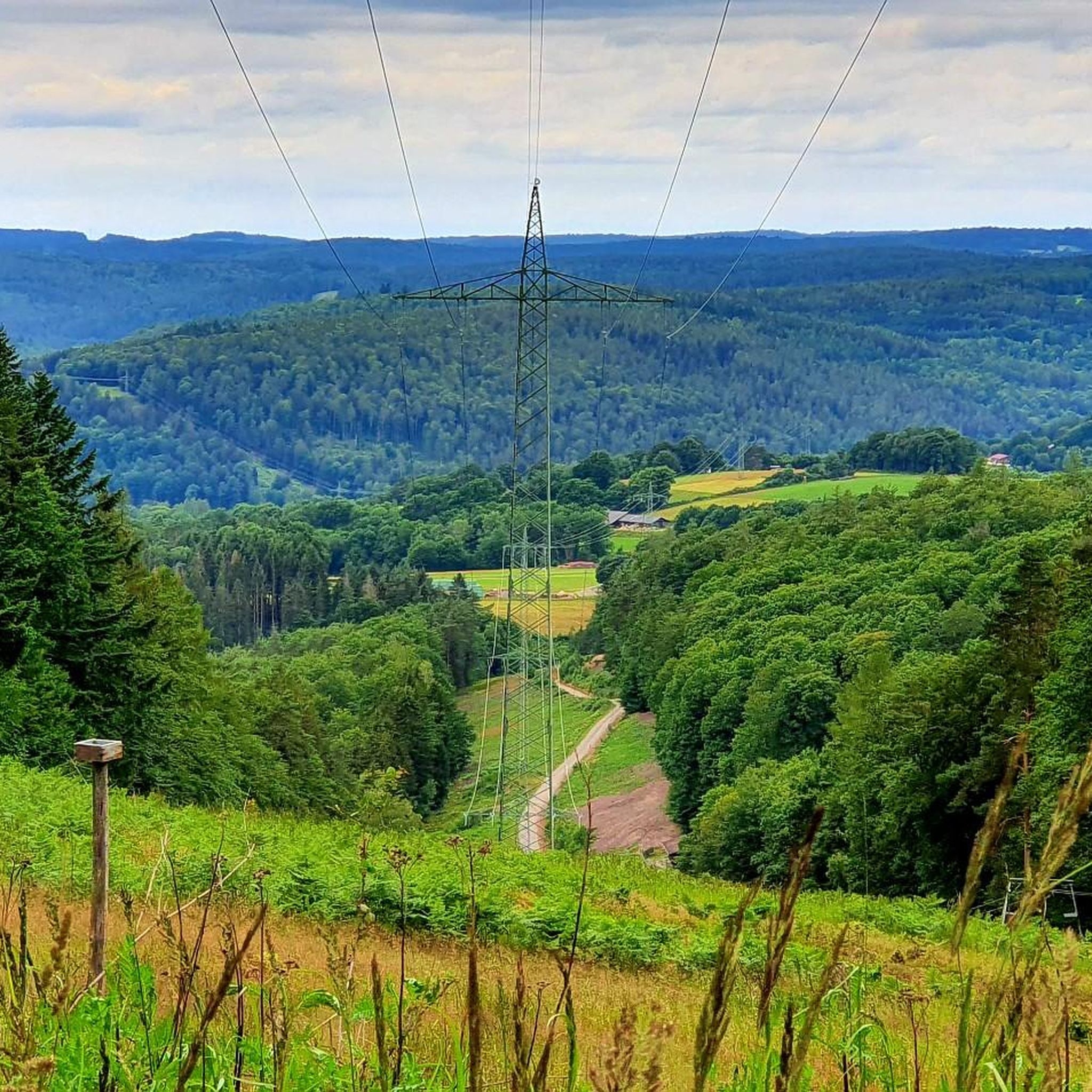
Currently impassable, as there are forestry works in the rear part. Unfortunately, the front part is also very overgrown.
0
0

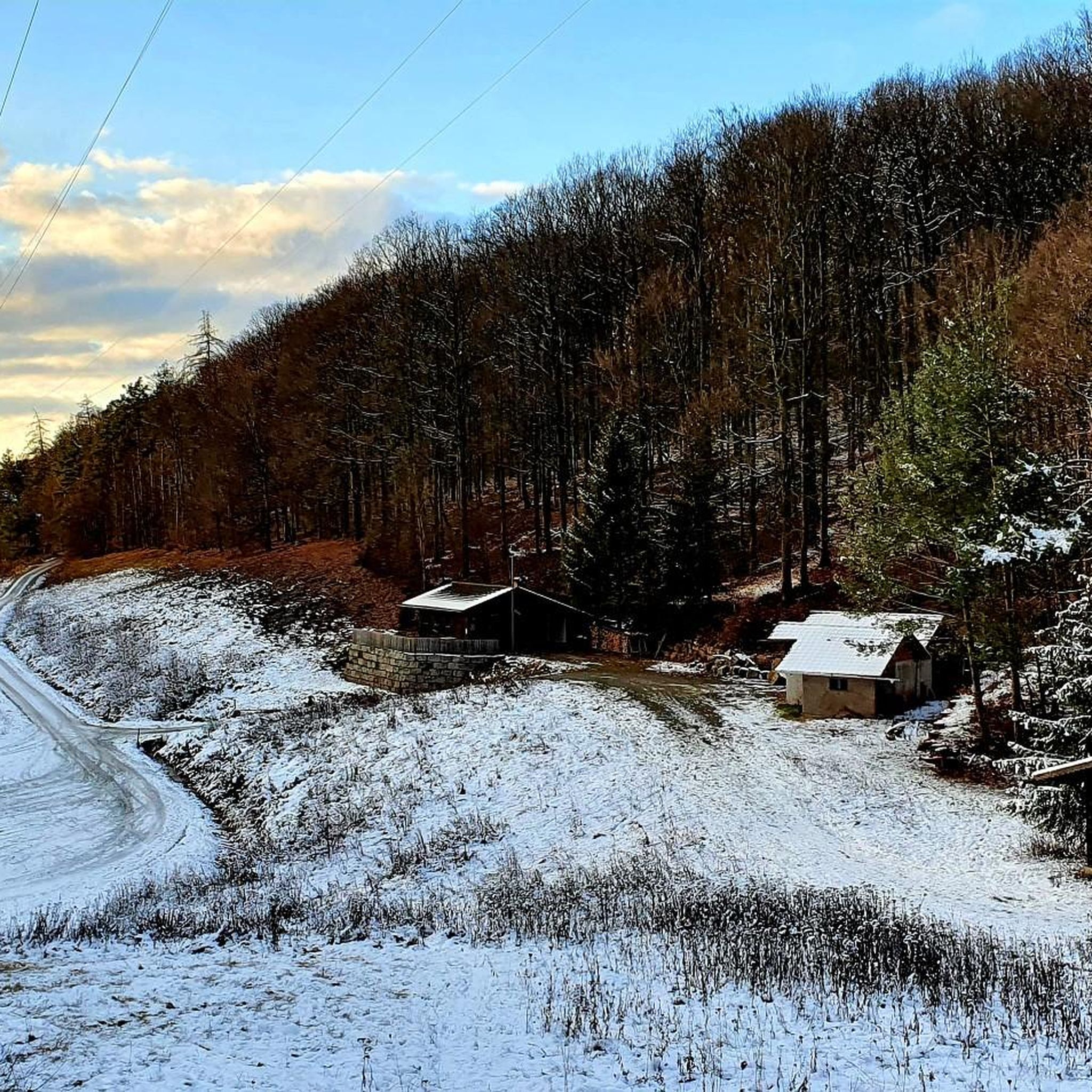
Small waterhole set in sandstone
11
2

A prominent corner with a helpful signpost
4
0

Currently great to drive. I step on the gas, I want fun 🤪
0
0
At 567 m, the Hermannskoppe is the highest mountain in the Hessian part of the Spessart in the Main-Kinzig district and the fourth highest mountain in the Spessart. Its summit is in the district of Lohrhaupten. The mountain was partially deforested by Hurricane Kyrill in January 2007. Source: Wikipedia
5
0

Nearby is a place to stop at the Bavarian Schantz
4
0
Frequently Asked Questions
What are the most notable peaks and viewpoints around Ruppertshüttener Forst?
The region, part of the wider Spessart, features several interesting elevations and viewpoints. Among the most popular are Sohlhöhe Viewpoint and Upper Reservoir, which offers extensive views from one of the highest elevations, and Hermannskoppe Summit (567 m), the highest mountain in the Hessian Spessart. Another significant spot is Erkelshöhe – Highest Point of Wiesen, known for its typical Spessart mixed forest.
What kind of terrain can I expect when exploring the peaks in Ruppertshüttener Forst?
Ruppertshüttener Forst is characterized by a hilly, densely forested landscape. While there are no towering mountain peaks, you'll find elevations up to approximately 567 meters. The terrain is ideal for hiking and cycling, offering a rich natural environment with extensive forest trails.
Are there family-friendly options for exploring the peaks around Ruppertshüttener Forst?
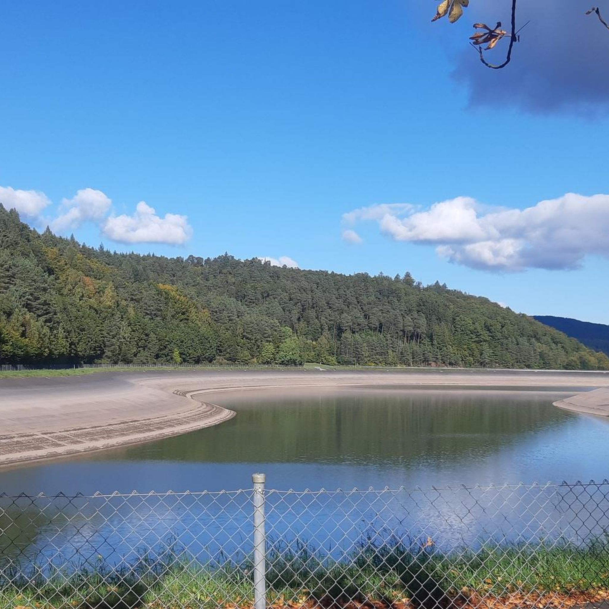
Yes, the area offers family-friendly options. For instance, the Sohlhöhe Viewpoint and Upper Reservoir is categorized as family-friendly, providing impressive views and a unique man-made lake feature that can be interesting for all ages.
Can I bring my dog on the trails around Ruppertshüttener Forst's peaks?
Many trails in the region are dog-friendly, allowing you to explore with your canine companion. The Hermannskoppe Summit (567 m), for example, is specifically noted as dog-friendly, making it a great option for a walk through the forest environment.
What natural features can I discover near the peaks in Ruppertshüttener Forst?
Beyond the forest itself, you can find several natural features. The Sohlhöhe Viewpoint and Upper Reservoir features a large lake. Near Erkelshöhe – Highest Point of Wiesen, you can find the Wiesbüttsee and Wiesbüttmoor, offering diverse natural landscapes.
Are there any historical or cultural landmarks near the peaks?
Yes, the region has some points of interest with historical context. The Hermannskoppe Summit (567 m) is near the Hermannsborn fountain, which served as a drinking trough on a busy military and trade route in the Middle Ages. Additionally, the Iron Signpost at Lohrberg is a unique man-made monument with naive pictograms pointing to various local destinations.
What outdoor activities can I do near the peaks of Ruppertshüttener Forst?
The forested landscape around Ruppertshüttener Forst is perfect for various outdoor activities. You can enjoy extensive hiking, cycling, and gravel biking. For detailed routes, explore the hiking guide, cycling guide, or gravel biking guide for the area.
Are there specific hiking trails recommended for exploring the peaks?
Yes, there are numerous hiking trails that incorporate the local elevations. For example, you can find routes like the 'Elisabethen II Cairn – Bayerische Schanz Inn loop from Ruppertshütten' or the 'Saint Elizabeth Wayside Shrine – Bayrische Schanz Inn loop from Hermannskoppe'. These trails offer moderate difficulty and allow you to experience the forest environment and viewpoints. More options are available in the Hiking around Ruppertshüttener Forst guide.
What do visitors enjoy most about the peaks and trails in Ruppertshüttener Forst?
Visitors frequently appreciate the tranquil setting and the extensive views offered from various points. The size and uniqueness of the Sohlhöhe Viewpoint and Upper Reservoir are often highlighted, as are the serene forest environments found at summits like Hermannskoppe Summit (567 m). The area is valued for its natural beauty and recreational opportunities.
What is the highest point in the immediate vicinity of Ruppertshüttener Forst?
While Ruppertshüttener Forst itself is a hilly forest, the broader Spessart region, which it is part of, includes higher elevations. The Hermannskoppe Summit (567 m) is the highest mountain in the Hessian section of the Spessart, offering a significant elevation to explore.
Are there any challenging trails for experienced hikers or mountain bikers?
Yes, for those seeking more challenging experiences, the region offers options. For mountain biking, the Lindwurm: MTB R4 Flowtrail Classic is a challenging trail that promises an active and varied ride. For hiking, while many trails are moderate, longer routes can provide a good workout. You can find more challenging routes in the Gravel biking around Ruppertshüttener Forst guide.
Where can I find unique viewpoints in the Ruppertshüttener Forst area?
Beyond the well-known Sohlhöhe Viewpoint and Upper Reservoir, which offers extensive vistas, the Iron Signpost at Lohrberg also serves as a prominent corner with a viewpoint. These spots provide different perspectives of the surrounding forested landscape.
Most popular routes around Ruppertshüttener Forst
Most popular attractions around Ruppertshüttener Forst

Get inspired with the komoot mobile app


Explore more
See even more amazing summits around Ruppertshüttener Forst with these guides:
