Attractions and Places To See around Omerz und roter Berg - Top 20
Best attractions and places to see around Omerz und roter Berg include a variety of cycle paths, natural trails, and scenic viewpoints. This region, likely situated within or near the Naturpark Bayerische Rhön, offers diverse landscapes featuring rivers, forests, and natural monuments. It is well-suited for outdoor activities such as cycling and hiking, providing accessible routes for various skill levels. The area is characterized by its natural beauty and well-maintained paths, making it a destination for exploring the local environment.
…Last updated: July 7, 2026
Franconian Saale Riverside Cycle Path
Highlight (Segment) • Cycleway
One was not welcome in the Hurzfurt, the section across the street was very ugly and dangerous on top of that. …
Translated by Google •
Tip by

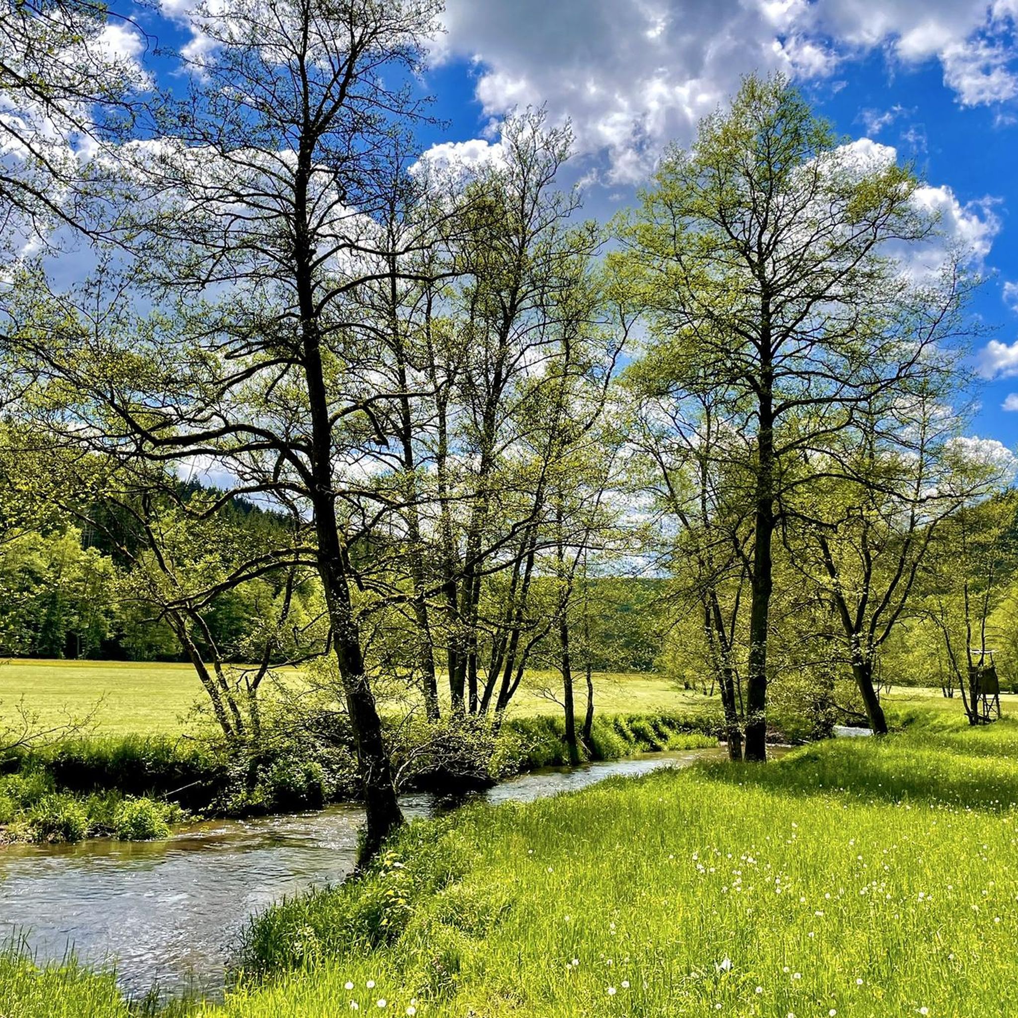
Thulba Cycle Path
Highlight • Cycleway
Translated by Google •
Tip by
Sign up now to discover places like this
Get recommendations on the best single tracks, peaks, & plenty of other exciting outdoor places.
Sign up for free
Rhönexpress Rail Trail
Highlight • Cycleway
Translated by Google •
Tip by

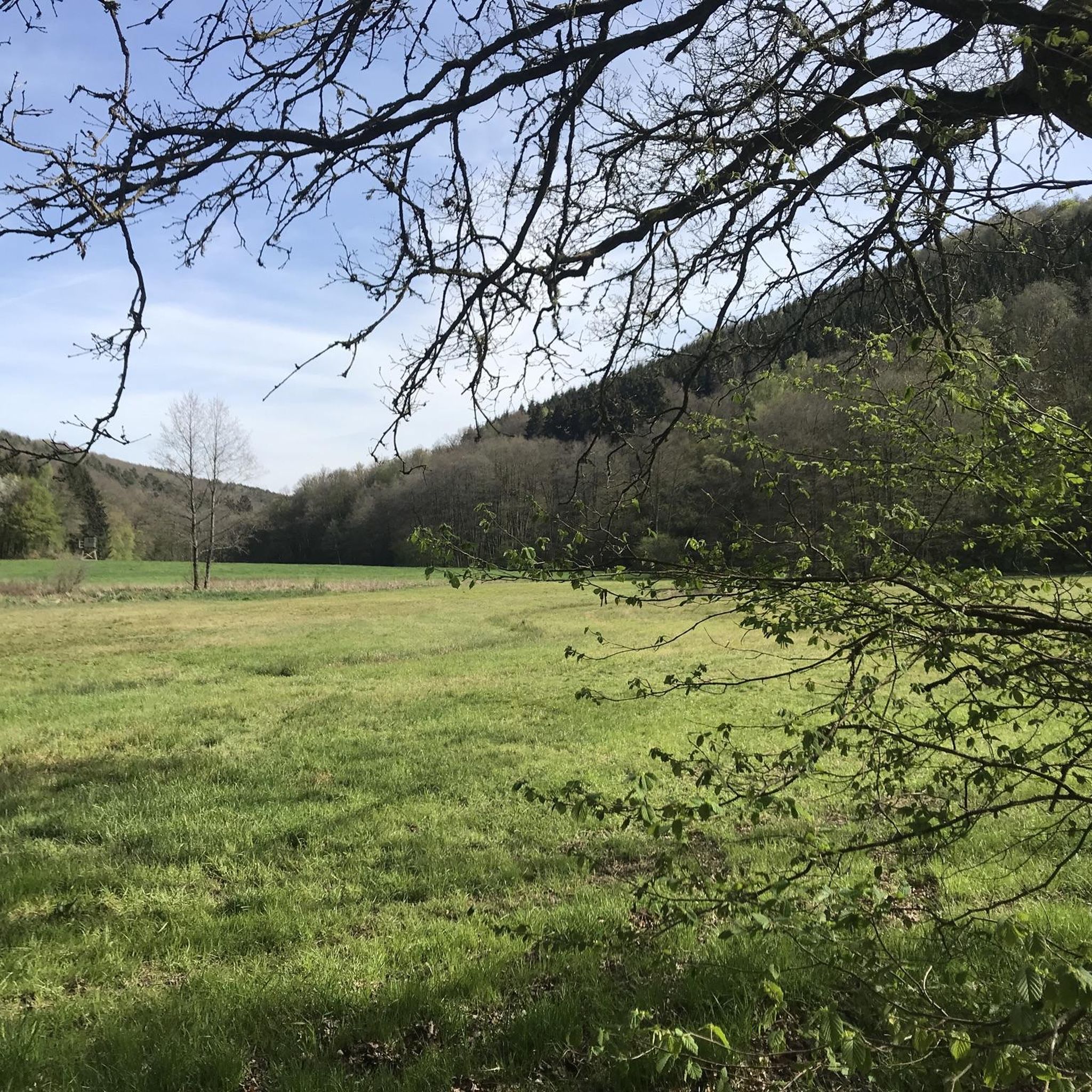
Forest path on the Saaletal Cycle Route in the Naturpark Bayerische Rhön
Highlight (Segment) • Trail
Translated by Google •
Tip by
Trettstein Waterfall
Highlight • Waterfall
Translated by Google •
Tip by

Sign up for free to discover even more attractions around Omerz und roter Berg.
Sign up for free
Already have an account?
Start today with a free account
Your next adventure awaits.
Login or Signup
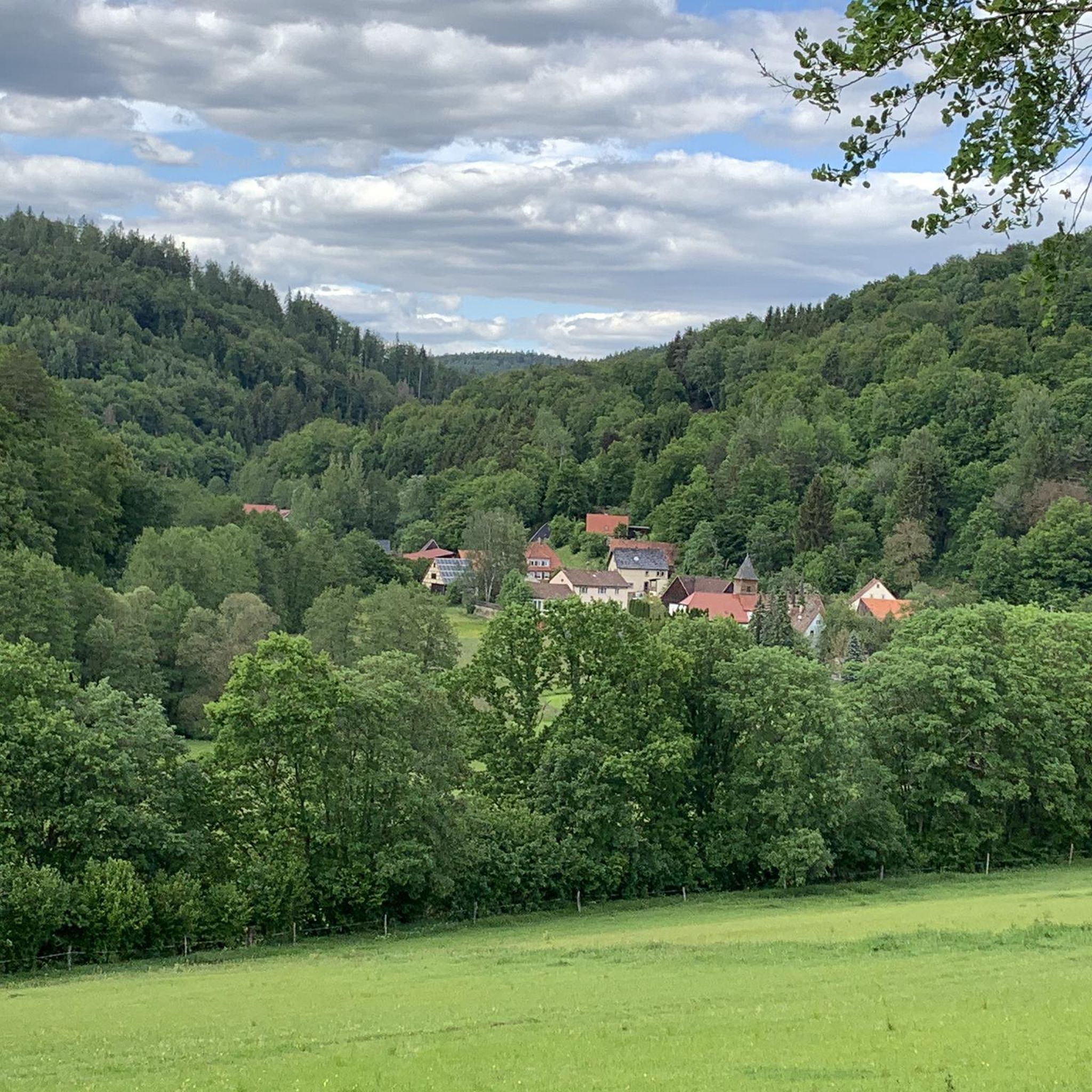
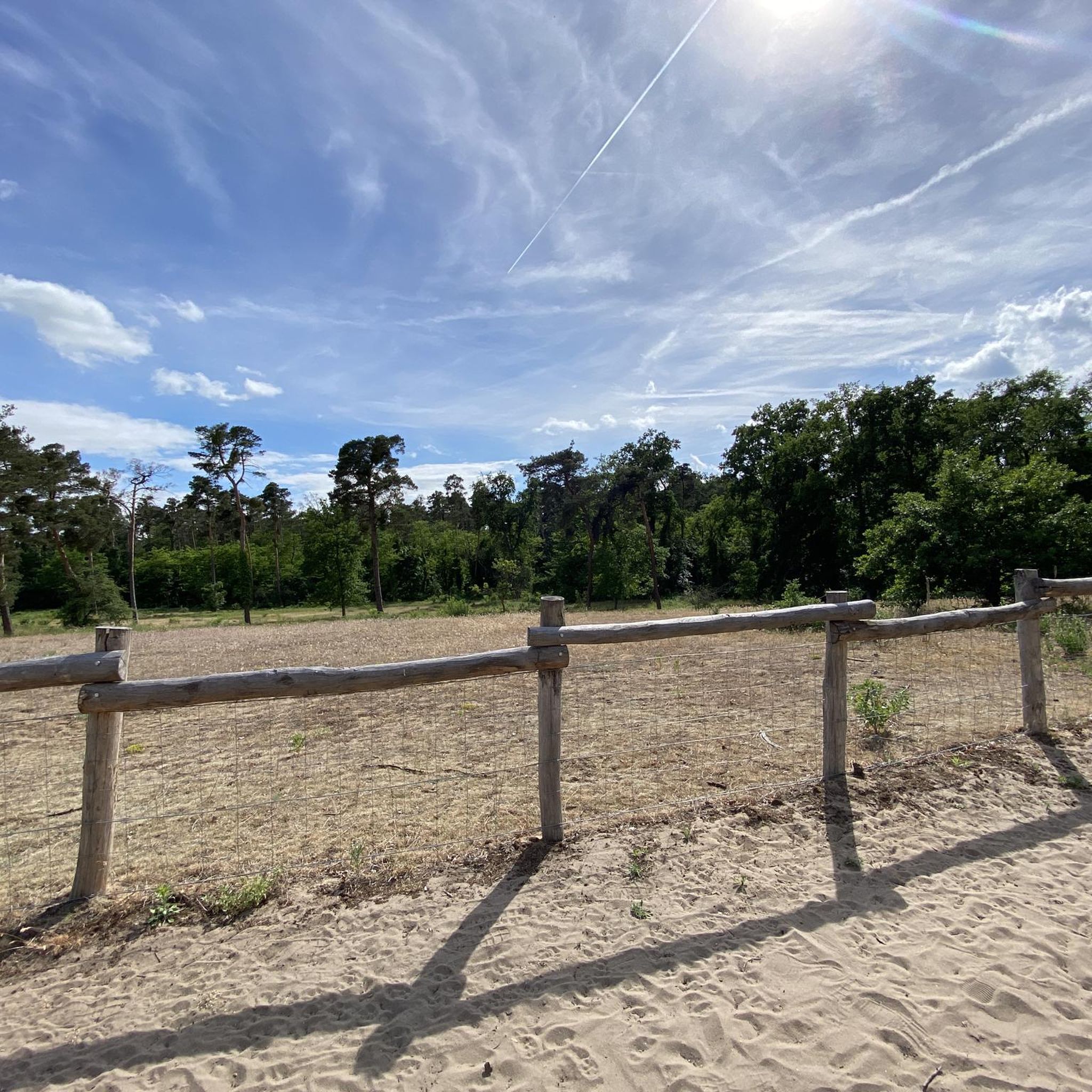
Tips from the Community

Nice path in the shade (it was just over 30°C in the sun)
0
0

Saaletal with Thulbatal nature nearby and is located in the Franconian Trockenplatte not far from my home Gasthof Kessler
0
0

Forgotten Autobahn 46
0
1

A very nice bike path
3
2

The Jossa–Wildflecken railway line, also known as the Sinntalbahn, was a branch line in Hesse and Bavaria. It branched off from the Flieden–Gemünden railway line in Jossa and ran through the Sinntal via Altengronau and Bad Brückenau to Wildflecken. The building permit for the line was granted on March 8, 1888, so that construction work could begin on July 1, 1890. The line was opened on October 9, 1891, and stops along the way began on October 15, 1891. Passenger traffic, which had always been of secondary importance, declined sharply due to competition from private transport. After the German Federal Railway stopped weekend traffic on the line with the 1982 summer timetable and no longer served the Bad Brückenau–Wildflecken section except for a single pair of trains, it stopped passenger traffic on the line completely on May 27, 1988. The last freight train traveled the route on February 4, 2002. On June 26, 2002, the Bad Brückenau-Wildflecken section of the route had to be closed due to a dam slide near the Römershag stop, and the entire route was closed on October 17, 2002. Until the entire route was finally closed by the Federal Railway Authority on March 31, 2005, special trips by railway associations continued. Finally, at the end of 2009, DB Netz submitted an application to dismantle the route. The actual dismantling of the tracks finally took place in October 2016. The dismantling of the tracks began in 2017. The Rhönexpress rail cycle path, which was partially built on the route of the Sinntalbahn, was opened on June 28, 2019. The first section, Zeitlofs - Bad Brückenau-Römershag, was opened on December 1, 2018. Source and further information: https://de.wikipedia.org/wiki/Bahnstrecke_Jossa-Wildflecken Rhönexpress rail cycle path homepage: https://rhoenexpress.bayern
4
0

Great route, really fun with the gravel bike
1
0

where the Thulba reaches the eastern outskirts of Oberthulba. Its water flow is reinforced there by the Lauter, which is about 9.1 km long and coming from the left. Below the Reithermühle northwest of Thulba (district of Oberthulba), the Heeggraben and the Laibach flow in from the right and the (temporarily dry) Heinergraben at a small lake with a campsite. Below the Obere Erthals-Mühle, it is reached on the left-hand side by the Rumbach, which runs parallel at the end. South of Obererthal (district of Hammelburg), the Mühlgraben, which flows back into the Thulba at the Herberts-Mühle near Untererthal (Hammelburg), branches off, into which the Elsengraben in turn flows. Below the Kessenmühle, the Thulba flows into the Franconian Saale near the sewage treatment plant in the west of Hammelburg.
2
1
Frequently Asked Questions
Where is the Omerz und roter Berg region located?
The Omerz und roter Berg region is situated within or near the Naturpark Bayerische Rhön. It is characterized by diverse landscapes featuring rivers, forests, and natural monuments, making it ideal for outdoor activities.
What are the main types of attractions to explore in the Omerz und roter Berg area?
The area is known for its extensive cycle paths, natural trails, and scenic viewpoints. You'll find attractions ranging from riverside routes and forest paths to unique natural monuments like waterfalls.
Are there family-friendly activities or attractions around Omerz und roter Berg?
Yes, several attractions are noted as family-friendly. The Franconian Saale Riverside Cycle Path, the Thulba Cycle Path, and the Rhönexpress Rail Trail are all excellent options for families. The Trettstein Waterfall also offers an accessible natural experience.
What cycling routes are available in the Omerz und roter Berg region?
The region boasts several popular cycling routes. These include the Franconian Saale Riverside Cycle Path, known for its leisurely experience, the idyllic Thulba Cycle Path with wonderful views, and the new Rhönexpress Rail Trail, which follows a former railway line.
Are there opportunities for hiking or walking near these attractions?
Absolutely. The area offers natural trails and forest paths suitable for hiking. For example, you can find idyllic paths around the Trettstein Waterfall, enhancing the forest hiking experience. There's also a Forest path on the Saaletal Cycle Route that offers a trail-like section through a beech forest.
What natural features can I expect to see in the Omerz und roter Berg area?
You can explore rivers like the Saale, dense forests, and unique natural monuments. A highlight is the Trettstein Waterfall, which emerges from the sandstone of the Spessart.
What do visitors enjoy most about the cycling paths in this region?
Visitors particularly appreciate the scenic beauty and good surfaces of the cycle paths. For instance, the Thulba Cycle Path offers wonderful views of surrounding mountains and hills, while the Franconian Saale Riverside Cycle Path is praised for its very leisurely experience and calm atmosphere due to the dammed Saale.
What kind of terrain and difficulty can I expect on the trails?
The region offers routes for various skill levels. Many cycle paths are described as leisurely with good surfaces, suitable for families. Some trails, like the Forest path on the Saaletal Cycle Route or paths around the Trettstein Waterfall, are categorized as intermediate, offering a bit more challenge while still being enjoyable.
Are there any specific routes for road cycling around Omerz und roter Berg?
Yes, there are several road cycling routes available. You can find options like the 'Saale River Bend at Gräfendorf – Thulba Cycle Path loop from Wartmannsroth' or the 'Bad Brückenau Old Town loop from Detter'. For more details and routes, visit the Road Cycling Routes around Omerz und roter Berg guide.
Where can I find running trails in the Omerz und roter Berg area?
The region offers various running trails. Examples include the 'Burgsinn Moated Castle loop from Burgsinn' and the 'Pond with Memorial Stones loop from Schwärzelbach'. Explore more options in the Running Trails around Omerz und roter Berg guide.
What are some touring bicycle routes available?
For touring cyclists, routes like the 'Thulba Cycle Path – Giant Bench Near Obererthal loop from Wartmannsroth' and the 'View of Saaleck Castle – Thulba Cycle Path loop from Völkersleier' are popular. You can find additional routes and details in the Cycling around Omerz und roter Berg guide.
What kind of views can I expect from the viewpoints in the region?
The viewpoints in the Omerz und roter Berg area offer magnificent vistas. For instance, the Thulba Cycle Path provides wonderful views of the surrounding mountains and hills, while other spots along the Saale offer calm, picturesque river scenery.
Most popular routes around Omerz und roter Berg
Most popular attractions around Omerz und roter Berg

Get inspired with the komoot mobile app


Explore more
Still not found the Highlight you’re looking for? See guides of the top attractions in other regions:
