The best gravel rides in North Carolina
4.7
(65)
1,111
riders
82
rides
If you've ever tried to plan a gravel biking trip in North Carolina, you know how quickly the options can become overwhelming. With so many miles of trails and forest roads, it's tough to tell which routes are genuinely worth your time and effort, and which are just filler. That's where we come in. Our komoot community has ridden, mapped, and reviewed countless routes across the state, and we've distilled that collective wisdom into a curated shortlist, saving you the…
Last updated: August 24, 2026
4.5
(2)
10
riders
24.3km
02:14
590m
590m
If you're seeking a demanding gravel biking experience in the Blue Ridge Mountains, the Craven Gap and Patton Mountain loop delivers. This difficult 15.1-mile (24.3 km) route features a mix…
4.6
(11)
78
riders
33.7km
02:24
540m
540m
Hard gravel ride. Very good fitness required. Mostly paved surfaces. Suitable for all skill levels.

46
riders
52.3km
04:07
1,000m
1,000m
Hard gravel ride. Very good fitness required. Mostly paved surfaces. Suitable for all skill levels.
4.9
(7)
109
riders
Hard gravel ride. Very good fitness required. Mostly paved surfaces. Suitable for all skill levels.
42
riders
50.5km
03:55
880m
880m
Hard gravel ride. Very good fitness required. Mostly paved surfaces. Suitable for all skill levels.
14
riders
40.4km
02:42
650m
650m
Hard gravel ride. Very good fitness required. Mostly paved surfaces. Suitable for all skill levels.
48
riders
71.4km
04:39
900m
900m
Hard gravel ride. Very good fitness required. Mostly paved surfaces. Suitable for all skill levels.
18
riders
62.4km
04:08
1,060m
1,060m
Hard gravel ride. Very good fitness required. Mostly paved surfaces. Suitable for all skill levels.
15
riders
66.3km
04:38
1,190m
1,190m
Hard gravel ride. Very good fitness required. Mostly paved surfaces. Suitable for all skill levels.
18
riders
70.5km
04:46
1,320m
1,320m
Hard gravel ride. Very good fitness required. Mostly paved surfaces. Suitable for all skill levels.
Get access to more routes and recommendations from other explorers.
Already have an account?
Our route recommendations are based on thousands of hikes, rides, and runs completed by other people on komoot.
Start today with a free account
Your next adventure awaits.
Popular around North Carolina
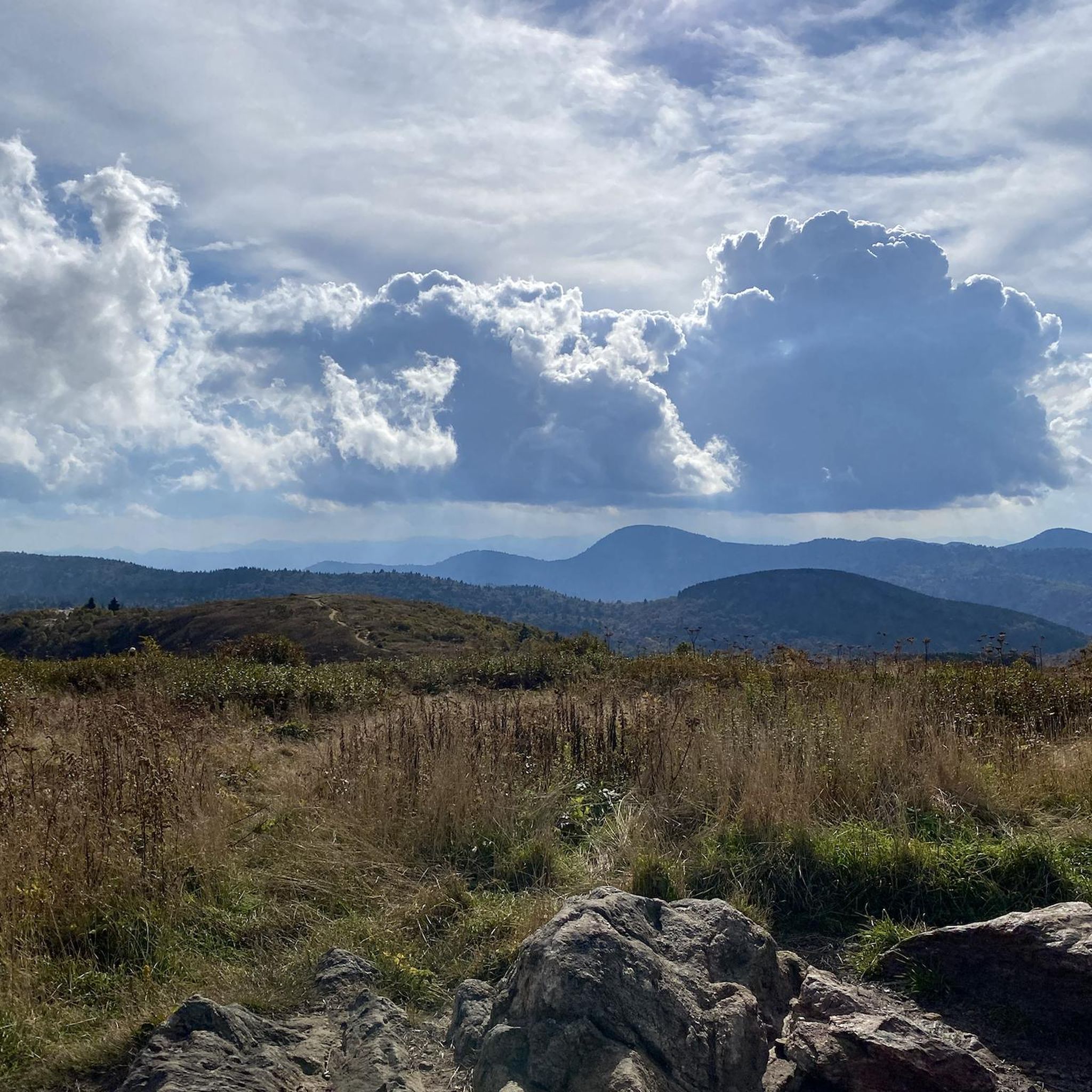
Gravel biking in National Forests In North Carolina

Gravel biking in Transylvania County

Gravel biking in Henderson County
Gravel biking in Wake County

Gravel biking in Buncombe County
Gravel biking in Chatham County

Gravel biking in Durham County

Gravel biking in Polk County
Gravel biking in Caldwell County

Gravel biking in Burke County
Other adventures in North Carolina


Tips from the Community

Bent Creek Experimental Forest contains a variety of rides, from family-friendly after-dinner outings to epic, multi-day bikepacking link-ups with other trails in Pisgah National Forest. For the most part you'll be riding in the trees, but every so often you get a pretty decent mountain view, too.
0
0

Whaleback Falls is in Pisgah National Forest and is a beautiful waterfall and swimming hole into a tranquil bend of the Davidson River. It is a great place to take a quick dip to cool off during a long ride.
0
0
The Pisgah Ranger Station is both the administrative hub for the Pisgah Ranger District and a visitor center with interpretive exhibits, maps, and a gift shop. The visitor center is open year round.
0
0

Davidson River marks the southern start of the Art Loeb Trail. It’s a good spot to filter water before the climb ahead. Expect a gradual but steady ascent as you leave the valley and head into the forested hills. This is a popular fly-fishing spot with crystal-clear waters and abundant trout, including brown, brook, and rainbow.
0
0
The Reedy Creek Multiuse Trail is a paved path that winds through Raleigh’s William B. Umstead State Park. The trail connects with other greenways and is surrounded by forest, rolling hills, and occasional wildlife sightings.
0
0

This trailhead sits along Lake Crabtree at the north end of Black Creek Greenway. There is ample parking, restrooms, water, and a bike station, making it an ideal spot to start your ride or take a break and enjoy the beautiful view.
0
0

New suspension bridge across Crabtree Creek
0
0
Frequently Asked Questions
How many gravel bike trails are available in North Carolina?
North Carolina offers nearly 100 gravel biking routes, catering to a wide range of abilities. You'll find 13 easy routes, 41 moderate routes, and 45 difficult routes, ensuring there's something for every gravel cyclist.
Are there gravel biking routes suitable for beginners or families in North Carolina?
Yes, North Carolina provides options for all skill levels. For a more accessible ride, consider the Reedy Creek Multiuse Trail – Chainsaw log loop from Glen Royal Rd at Brownleigh Dr, which is a moderate 19.8 km route with gentle elevation changes. The American Tobacco Trail, mentioned in the region research, is also known for being suitable for various users.
What are some challenging gravel biking routes in North Carolina?
For experienced riders seeking a challenge, North Carolina's mountainous regions offer demanding routes with significant elevation gains. The Davidson River – Pisgah Ranger Station loop from Pisgah Forest Access is a difficult 52.3 km route with over 1000 meters of ascent, providing a thrilling experience through Pisgah National Forest.
Which areas offer the most scenic gravel biking routes in North Carolina?
The western mountainous region, including areas around Asheville, Pisgah National Forest, and DuPont State Forest, is renowned for its breathtaking scenery. Routes here often feature mountain views, winding switchbacks, and long descents. The Hot Springs area also offers scenic gravel roads with views of waterfalls and swimming holes.
Are there any circular gravel biking routes in North Carolina?
Many of North Carolina's gravel routes are designed as loops, allowing you to start and finish in the same location. An example is the Falls Reservoir loop from Uwharrie National Forest, a difficult 40.4 km route that circles the reservoir.
What kind of natural attractions can I expect to see along gravel bike trails in North Carolina?
North Carolina's diverse landscape means you can encounter various natural attractions. In the western part of the state, you might find waterfalls, rivers like the French Broad, and vast forests. For example, the Bent Creek Experimental Forest is a notable area for its natural beauty and trails.
What do other gravel bikers enjoy most about gravel biking in North Carolina?
The komoot community highly rates gravel biking in North Carolina, with an average score of 4.5 stars from over 85 reviews. Riders often praise the diverse terrain, from challenging mountain climbs to scenic forest service roads, and the extensive network of trails that cater to all abilities.
Are there any multi-day gravel biking options in North Carolina?
While specific multi-day routes aren't detailed in the guide, the extensive network of forest service roads in areas like Pisgah National Forest and DuPont State Forest, combined with available shelters such as Icewater Spring Shelter or Fontana Hilton, could allow for planning longer, multi-day adventures. You can explore these shelters further in the Huts and Cabins in North Carolina guide.
What is the best season for gravel biking in North Carolina?
North Carolina offers good gravel biking conditions for much of the year. Spring and fall generally provide the most pleasant temperatures and vibrant scenery. Summer can be warm, especially in the Piedmont and Coastal Plain, but the higher elevations of the mountains offer cooler temperatures. Winter can be cold, with potential for snow in the mountains, but many lower elevation routes remain rideable.
Are there any specific bike parks or dedicated cycling areas in North Carolina?
Yes, North Carolina has dedicated areas for cycling. For instance, you can find trails like Loop 4 at Crabtree Lake Park and the Berm Park. The Bike Parks in North Carolina guide provides more details on these and other locations.
Can I find gravel routes that are less trafficked in North Carolina?
Many of the forest service roads and trails, particularly within Pisgah National Forest and DuPont State Forest, offer a sense of solitude and are generally less trafficked than paved roads. Exploring routes in these vast protected areas is a good way to find quieter rides.
Are there any routes that follow old rail lines or similar paths?
Yes, the American Tobacco Trail is a notable 22.6-mile Rails-to-Trails project that crosses multiple counties in the Piedmont region. It's an excellent option for gravel bikes, offering a relatively flat and consistent surface. You can experience a section of it on the American Tobacco Trail loop from Fayetteville Rd at Geneva Dr.
Most popular routes in North Carolina
Most popular attractions in North Carolina

Get inspired with the komoot mobile app


Didn’t find what you were looking for?
Check out more Gravel rides throughout North Carolina below and find the perfect route in your destination.
Explore more
Browse the best Gravel rides in other regions.
