The best gravel rides around Bothenheilingen
4.8
(22)
80
riders
3
rides
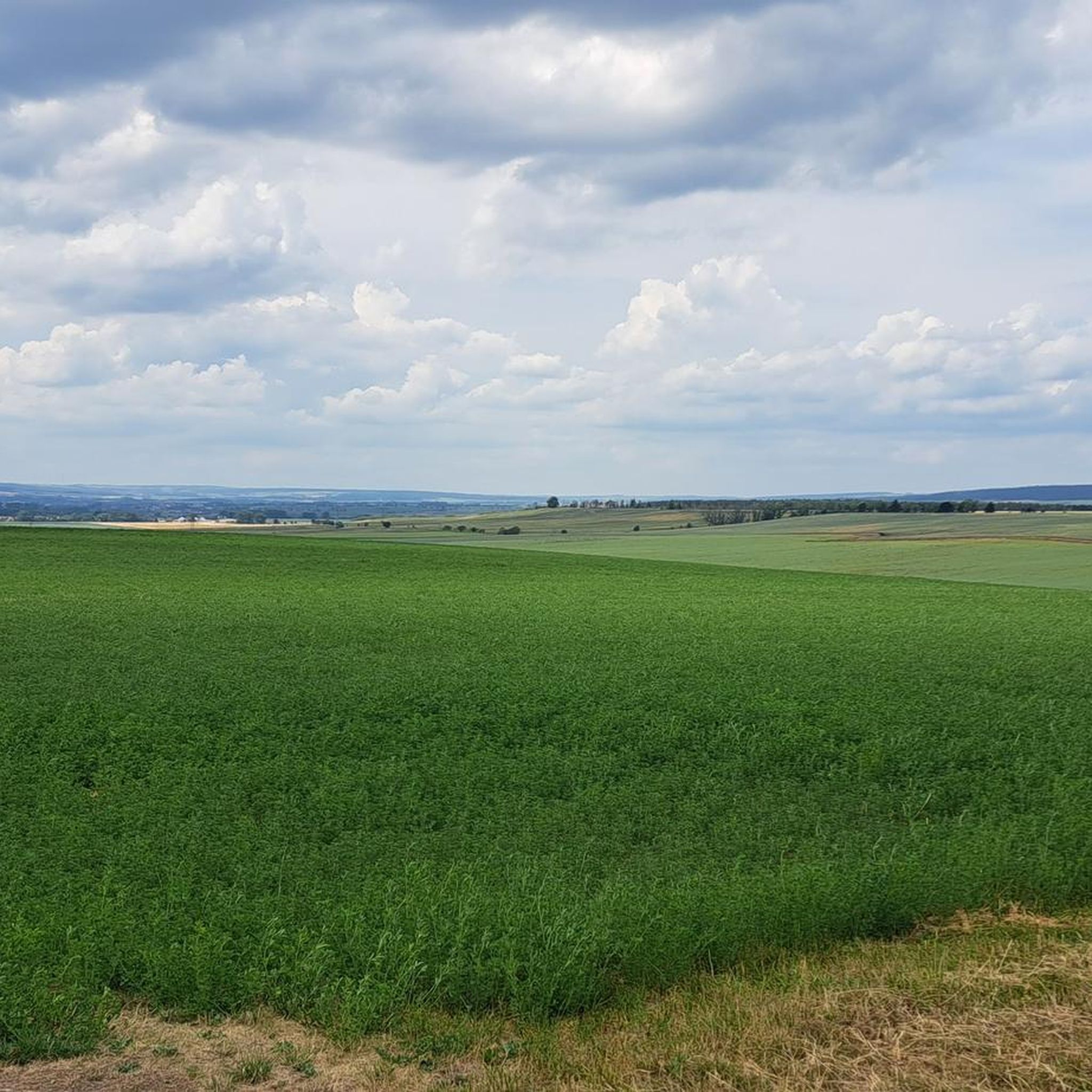
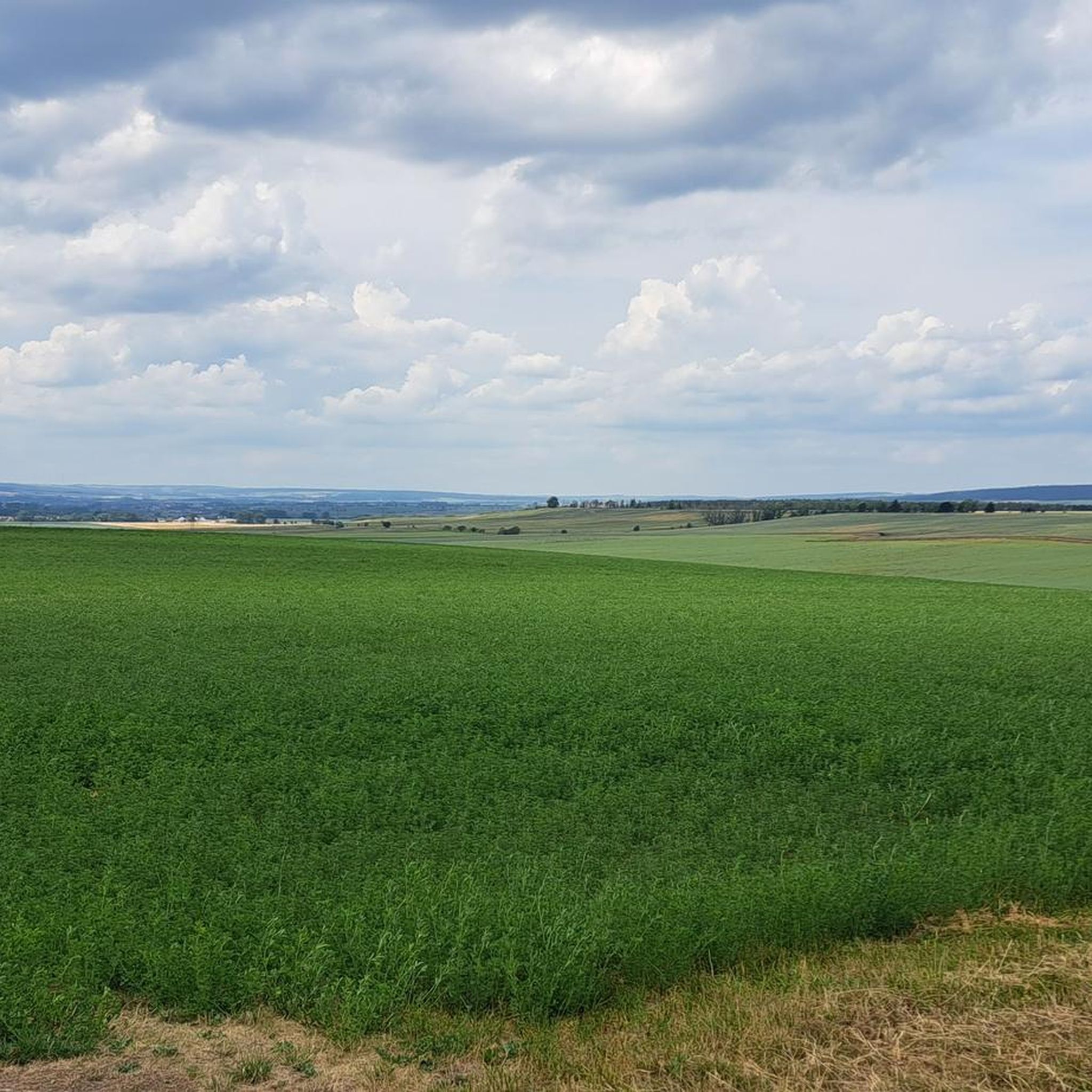
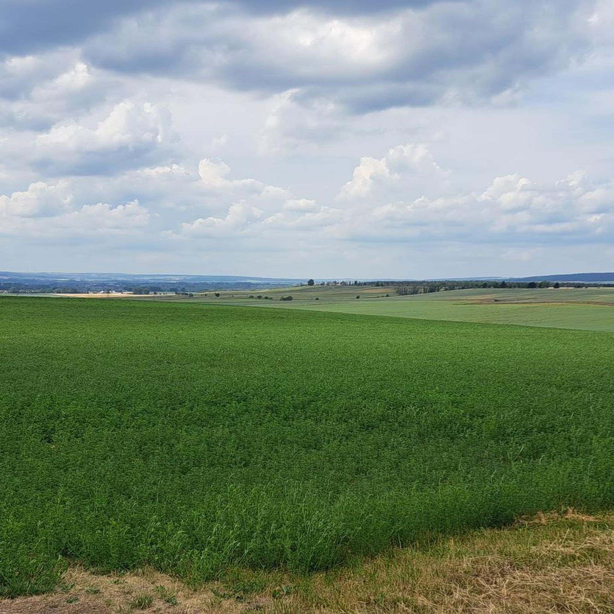
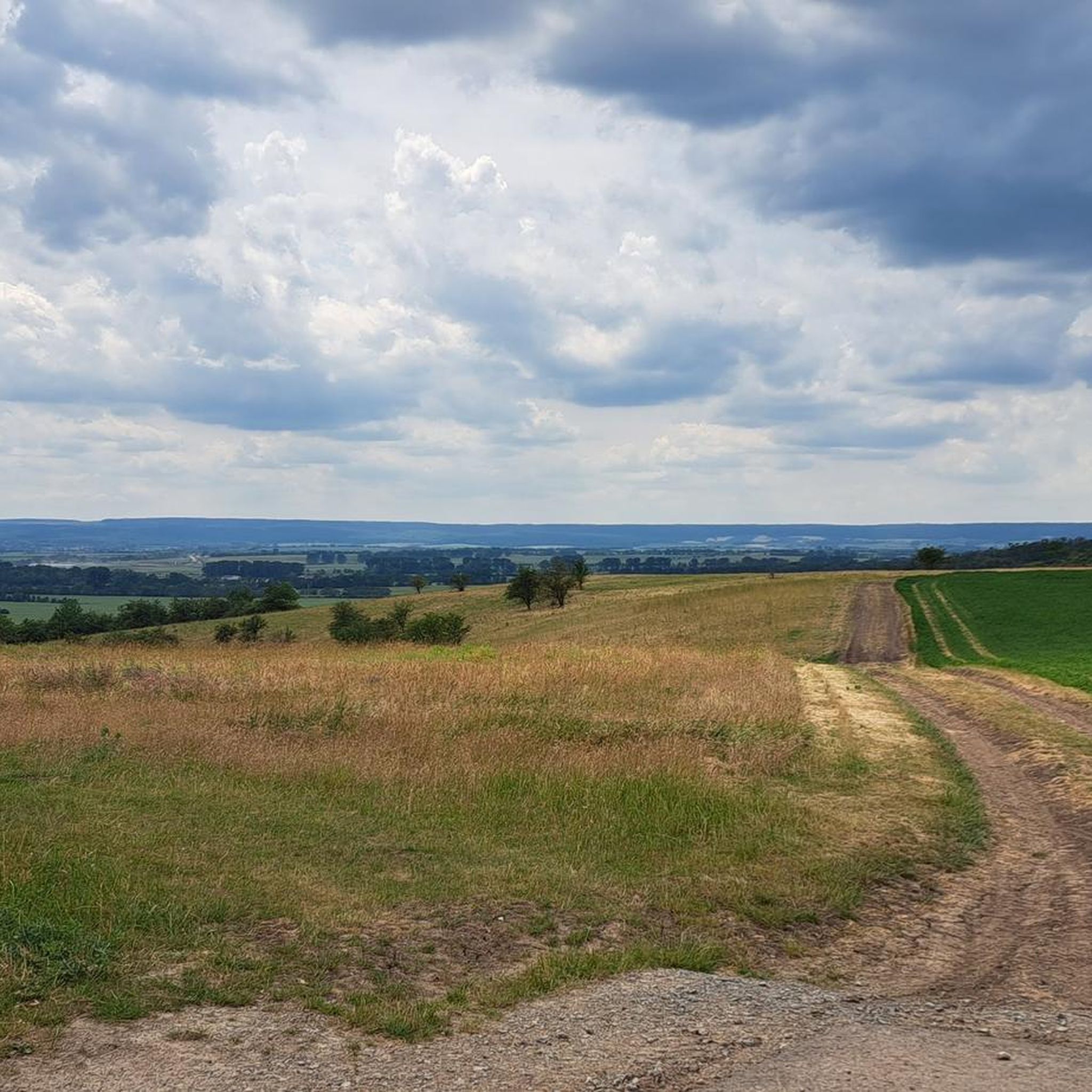
Gravel biking around Bothenheilingen offers access to diverse natural landscapes within the Thuringian Basin. The region features a mix of forests, meadows, and river valleys, providing varied terrain suitable for gravel cycling. The nearby Unstruttal Nature Reserve and the broader Thuringian Forest offer extensive networks of paths, including sections ideal for gravel bikes. This area is characterized by its natural scenery, from riverbanks to deciduous forests, making it a suitable base for outdoor exploration.
Best gravel bike trails around Bothenheilingen
…Last updated: October 6, 2026
5.0
(2)
9
riders
56.0km
03:39
590m
590m
Hard gravel ride. Very good fitness required. Mostly paved surfaces. Suitable for all skill levels.
4.5
(6)
20
riders
52.8km
02:50
390m
390m
Moderate gravel ride. Good fitness required. Mostly paved surfaces. Suitable for all skill levels.

4.9
(8)
18
riders
Hard gravel ride. Very good fitness required. Mostly paved surfaces. Suitable for all skill levels.
6
riders
Moderate gravel ride. Good fitness required. Mostly paved surfaces. Suitable for all skill levels.
5.0
(2)
11
riders
73.7km
04:11
750m
750m
Hard gravel ride. Very good fitness required. Mostly paved surfaces. Suitable for all skill levels.
Our route recommendations are based on thousands of hikes, rides, and runs completed by other people on komoot.
Start today with a free account
Your next adventure awaits.
Tips from the Community

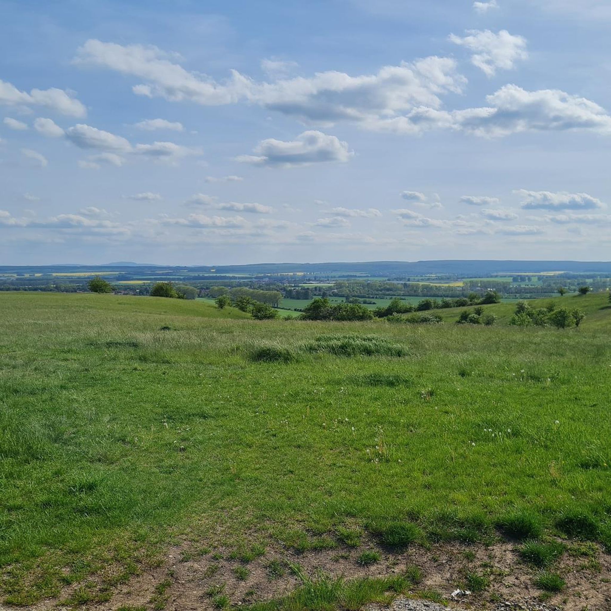
from here, entry into various hiking and cycling tours.
0
0

Very relaxing and cool in the heat
0
0

Very interesting with the rocks right up to the path.
1
0

Secret tip for the 🐻🌱 time, mega. Nice hut, rightly there is a stamp here.
8
0

small highlight on the dead-straight stretch
2
0
impressive, the tunnels on this route - but very cold in spring, certainly quite pleasant in summer.
0
0

Absolute peace and quiet very close to the highlights of the national park.
0
0

The line itself is impressive. The second track was dismantled by the Russians in 1945 as reparations.
2
0
Frequently Asked Questions
What kind of terrain can I expect on gravel bike trails near Bothenheilingen?
The region around Bothenheilingen, situated in the Thuringian Basin, offers a diverse mix of landscapes. You'll encounter river valleys, extensive forests, and open meadows. Trails often follow the Unstrut river, pass through areas like the Unstruttal Nature Reserve, and venture into deciduous forests, providing varied surfaces suitable for gravel biking.
Are there any easy or beginner-friendly gravel bike routes around Bothenheilingen?
Yes, there are routes suitable for different ability levels. For a moderate option, consider the Rest Area on the K2 Cycle Path – Cycle Path to Großwelsbach loop from Bad Langensalza, which covers 48.7 km with manageable elevation changes. Another moderate choice is the Fahner Höhe Forest Trails – Lohmühle Watermill loop from Bad Langensalza, offering 52.6 km through forest trails.
What are the difficulty levels of gravel bike trails in this area?
The gravel bike trails around Bothenheilingen range from moderate to difficult. For instance, the Entenberg Tunnel – Kanonenbahn Rail Trail Tunnels loop from Mühlhausen (Thür) is classified as difficult, featuring significant elevation gain over 69.7 km. Other difficult routes include the Bette Oak – Mühlhausen City Wall Park loop from Mühlhausen (Thür) and the Heyerode border house – Bette Oak loop from Seebach (bei Mühlhausen).
What natural attractions can I see while gravel biking near Bothenheilingen?
Many routes offer scenic views and pass by natural highlights. You can explore the Unstrut Valley Nature Reserve between Nägelstedt and Großvargula, known for its river, former vineyards, and diverse wildlife. The broader region also includes parts of the Thuringian Forest and the Hainich National Park, offering extensive woodlands and unique natural features.
Are there any circular gravel bike routes available?
Yes, all the featured gravel bike routes around Bothenheilingen are designed as loops. Examples include the Entenberg Tunnel – Kanonenbahn Rail Trail Tunnels loop from Mühlhausen (Thür) and the Fahner Höhe Forest Trails – Lohmühle Watermill loop from Bad Langensalza, allowing you to start and end at the same point.
What do other gravel bikers enjoy most about the trails in Bothenheilingen?
The area is highly rated by the komoot community, with an average score of 4.8 stars from over 50 reviews. Reviewers often praise the varied terrain, the scenic beauty of the river valleys and forests, and the opportunity to explore historical elements like the Kanonenbahn Rail Trail.
What are some interesting landmarks or points of interest near the gravel biking routes?
Beyond natural beauty, you can find cultural and historical sites. The Japanese Garden in Bad Langensalza is a notable attraction. You might also encounter historical structures like the Bad Langensalza Town Hall with carillon or the St. Martin Church Görmar, depending on your chosen route.
When is the best time of year for gravel biking around Bothenheilingen?
The Thuringian Basin offers good conditions for gravel biking through much of the year. Spring and autumn provide pleasant temperatures and vibrant scenery, with changing foliage in the extensive forests. Summer is also suitable, though it can be warmer. Winter riding is possible, but trail conditions may vary with snow or ice, especially in forested areas.
Are there any lakes or water features along the gravel bike trails?
While the Unstrut river is a prominent feature, the wider area also includes several smaller lakes and ponds. You might find highlights like Palumpa-Land by the Lake, Seebach Village Pond, or Böhmenteich in the vicinity, offering picturesque spots for a break.
How accessible is Bothenheilingen by public transport for cyclists?
Bothenheilingen is a village in the Unstrut-Hainich-Kreis district. While specific direct public transport links for cyclists might require local research, the broader region is served by regional train and bus networks. It's advisable to check local transport schedules and bike carriage policies for connections to nearby towns like Mühlhausen or Bad Langensalza, which are common starting points for tours.
Where can I find parking for gravel biking trails near Bothenheilingen?
Many of the gravel biking routes start from nearby towns such as Mühlhausen (Thür) or Bad Langensalza. These towns typically offer public parking facilities where you can leave your vehicle before starting your ride. Specific parking details for individual trailheads may vary, so checking local maps or komoot tour details for starting points is recommended.
Most popular attractions around Bothenheilingen

Get inspired with the komoot mobile app


Explore more
Browse the best Gravel rides in other regions.
