The best gravel rides around Klettbach
4.4
(99)
430
riders
76
rides
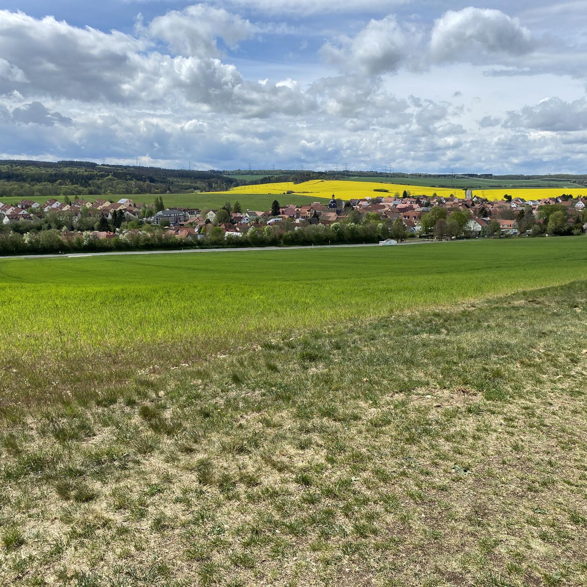
Gravel biking around Klettbach features a landscape characterized by rolling hills, river valleys, and forested areas like the Steigerwald. The region offers a network of trails that often follow rivers such as the Gera and Saale, connecting various villages and natural attractions. Terrain typically includes compacted gravel paths, forest roads, and sections of paved cycle paths, suitable for gravel bikes.
Best gravel bike trails around Klettbach
- The most popular gravel bike trail is Trail along the Gera River – Papierwehr…
Last updated: October 6, 2026
4.2
(32)
120
riders
42.3km
03:17
430m
430m
Moderate gravel ride. Good fitness required. Mostly paved surfaces. Suitable for all skill levels.
4.3
(10)
41
riders
75.8km
04:04
430m
430m
Moderate gravel ride. Good fitness required. Mostly paved surfaces. Suitable for all skill levels.

4.3
(3)
20
riders
51.2km
03:16
510m
510m
Hard gravel ride. Very good fitness required. Mostly paved surfaces. Suitable for all skill levels.
4.0
(1)
9
riders
Hard gravel ride. Very good fitness required. You may need to push your bike for some segments of this route.
4.4
(10)
31
riders
20.4km
01:08
170m
170m
Moderate gravel ride. Good fitness required. Mostly paved surfaces. Suitable for all skill levels.
Get access to more routes and recommendations from other explorers.
Already have an account?
Our route recommendations are based on thousands of hikes, rides, and runs completed by other people on komoot.
Start today with a free account
Your next adventure awaits.
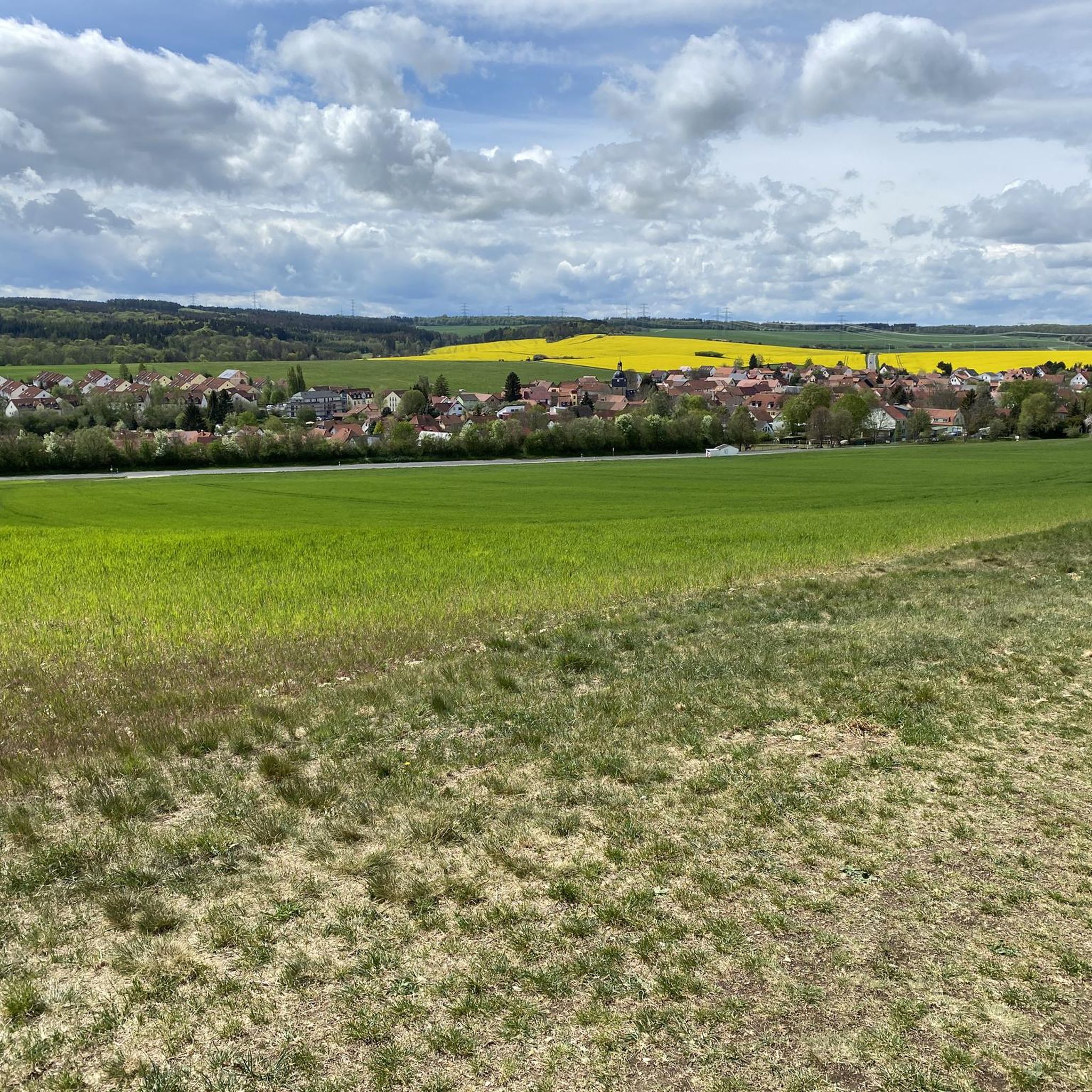
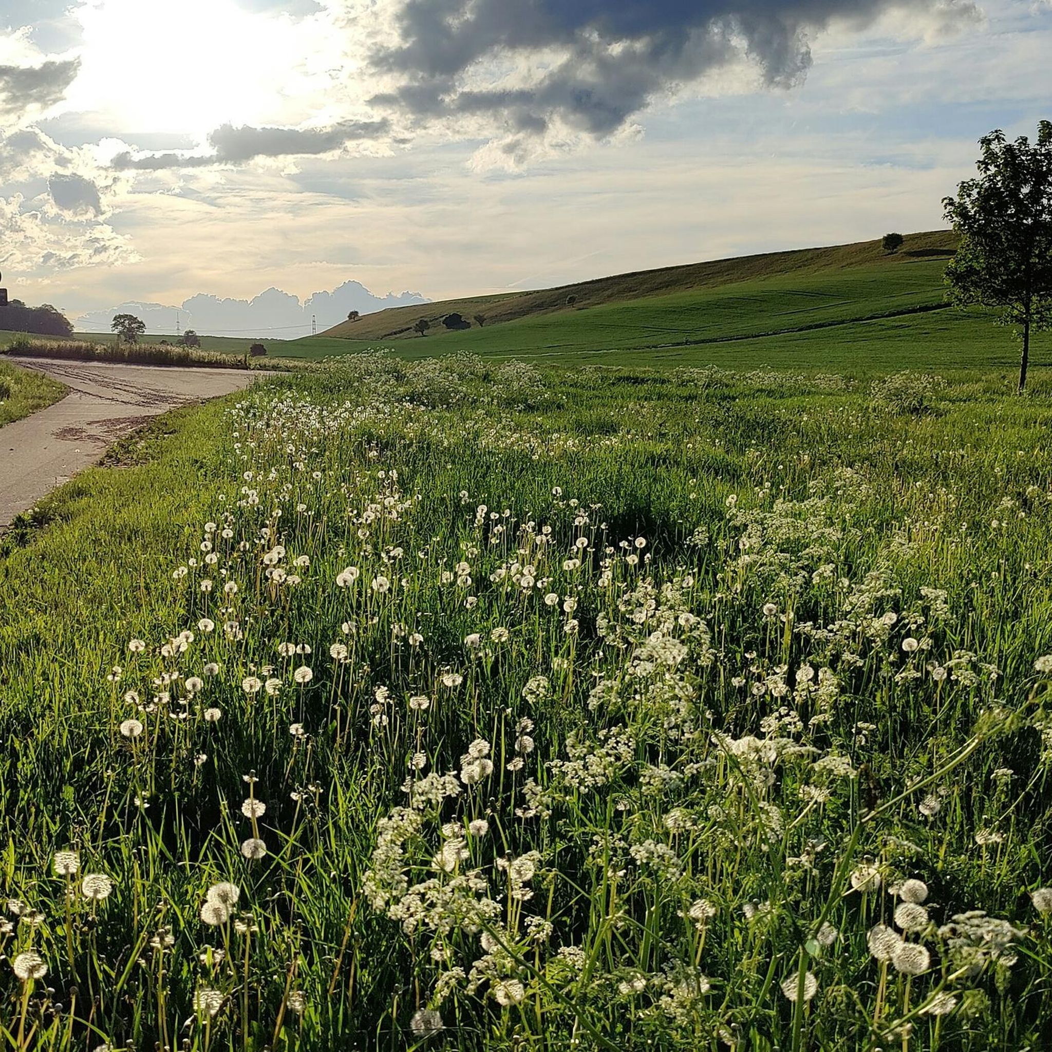
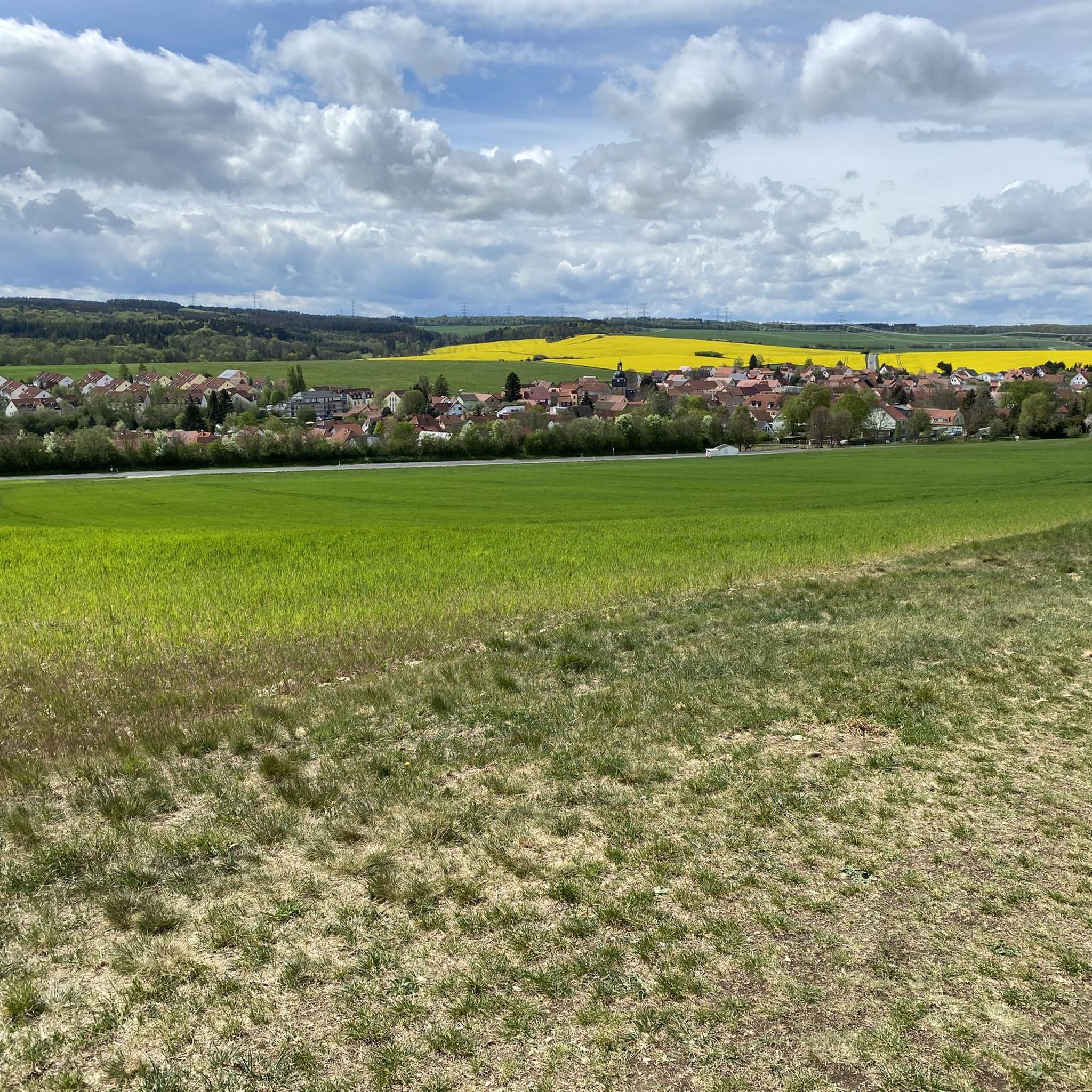
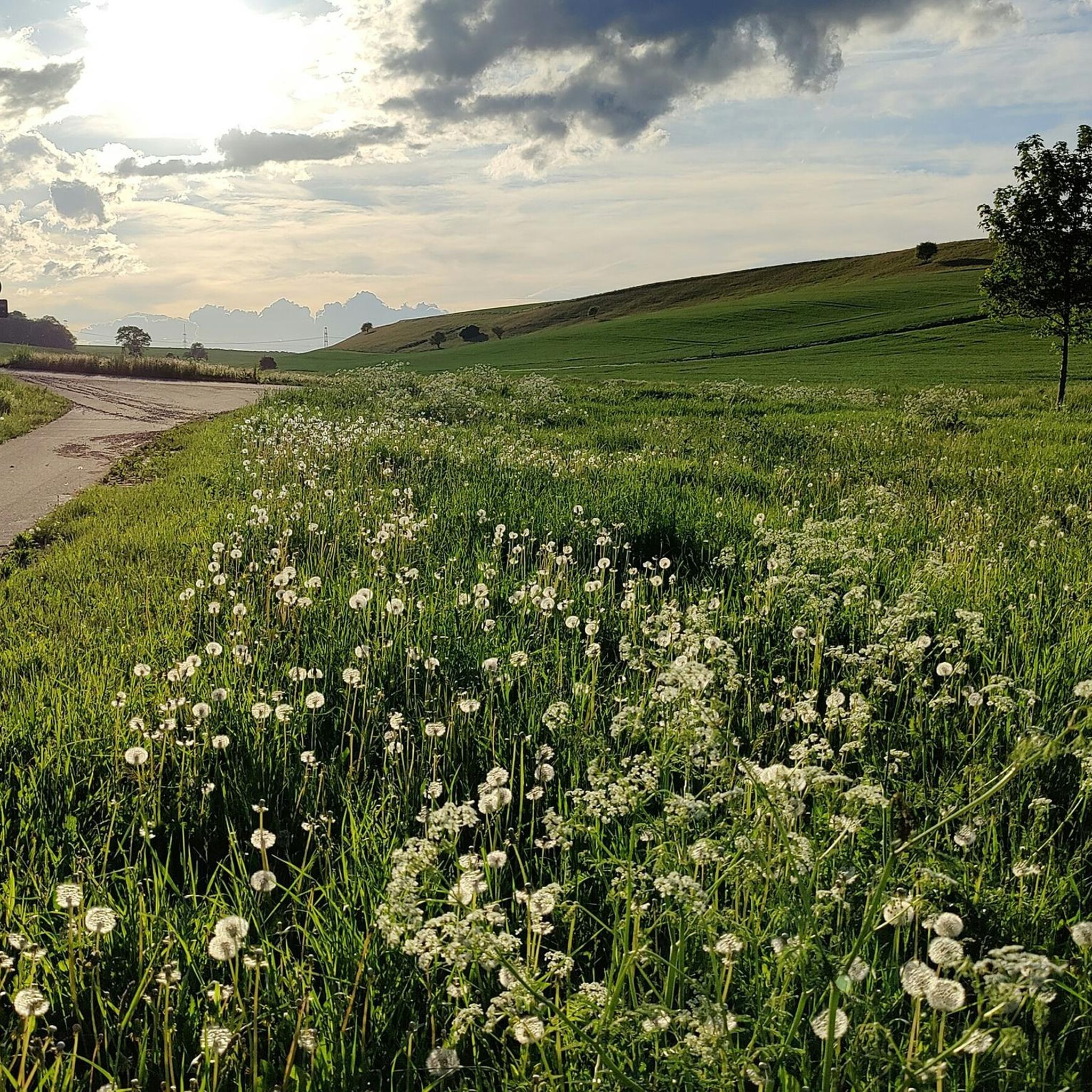
Tips from the Community

Very beautiful cycle path, always along the Gera
0
0


Very relaxing and cool in the heat
0
0

A very beautiful and varied cycle path along the Gera river.
0
0

Large forest intersection near Achelstedt.
0
0

In addition to a wide range of food and shopping options, the train station also offers good connections to public transport.
7
1


well-signposted and easy-to-ride route between the two cities, although there are a few meters of elevation to overcome
0
0
Frequently Asked Questions
How many gravel bike trails are available around Klettbach?
There are over 150 gravel bike routes available around Klettbach on komoot, offering a wide range of options for different skill levels and preferences.
Are there easy gravel bike routes suitable for beginners in Klettbach?
Yes, Klettbach offers several easy gravel bike routes. For instance, the Trail along the Gera River – Papierwehr loop from Erfurt is a moderate 17.7-mile (28.6 km) route that follows the Gera River, perfect for those looking for a less challenging ride.
What are the typical durations for gravel bike trails near Klettbach?
The duration of gravel bike trails around Klettbach varies significantly. Shorter, easier routes might take around 1 hour 57 minutes, while more challenging and longer routes, like the Saale River at Maua – Paradise Park, Jena loop from Bad Berka, can take over 5 hours to complete.
Are there any circular gravel bike routes in the Klettbach area?
Many of the gravel bike routes around Klettbach are designed as loops. An example is the Ilmtal Cycle Path – Hohenfelden Reservoir loop from Riechheim, which is a difficult 23.9-mile (38.5 km) path incorporating sections of the Ilmtal Cycle Path and circling the Hohenfelden Reservoir.
What kind of terrain can I expect on gravel bike trails in Klettbach?
The terrain around Klettbach is characterized by rolling hills, river valleys, and forested areas like the Steigerwald. You can expect a mix of compacted gravel paths, forest roads, and sections of paved cycle paths, all suitable for gravel bikes.
What is the best time of year for gravel biking in Klettbach?
Gravel biking in Klettbach is enjoyable throughout much of the year. Spring and autumn offer pleasant temperatures and vibrant scenery. Summer is also great, especially for routes that pass through shaded forest sections. Winter can be ridden, but conditions may vary with snow or ice, particularly on unpaved sections.
Are there any attractions or landmarks to see along the gravel bike routes?
Yes, several routes pass by interesting sights. For example, you can find attractions like the Krämerbrücke or Cathedral Square in Erfurt, which are accessible from some routes. The region also features natural landmarks and historical sites.
Are there places to stop for refreshments or rest along the trails?
Yes, some routes offer opportunities for refreshment. For instance, the area includes spots like the Riechheimer Berg Tower and Inn or the Stiefelburg Forest Guesthouse and Hotel, which can be found near various routes. The Ponds and Rest Hut Tannroda is also a notable rest stop.
What do other gravel bikers say about the trails in Klettbach?
The gravel bike trails in Klettbach are highly regarded by the komoot community, with an average rating of 4.5 stars from over 300 reviews. Riders often praise the varied terrain, scenic river valleys, and well-maintained paths that make for an enjoyable experience.
Are there any challenging gravel bike routes for experienced riders?
Absolutely. For experienced riders seeking a challenge, routes like the View of Klettbach – Ponds and Rest Hut Tannroda loop from Hayn offer a difficult 29.5-mile (47.4 km) ride with significant elevation changes and varied terrain, providing a rewarding experience.
What are the elevation gains like on Klettbach's gravel routes?
Elevation gains vary depending on the route's difficulty and length. For example, an easy route like the Gera River loop has about 221 meters of elevation gain, while more difficult routes such as the Waldkasinotrail (Steigerwald) – Forsthaus Willrode loop from Windischholzhausen can feature over 227 meters of ascent, even on shorter distances.
Most popular routes around Klettbach
Most popular attractions around Klettbach

Get inspired with the komoot mobile app


Explore more
Browse the best Gravel rides in other regions.
