The best gravel rides around Ottenbach
4.8
(63)
270
riders
74
rides
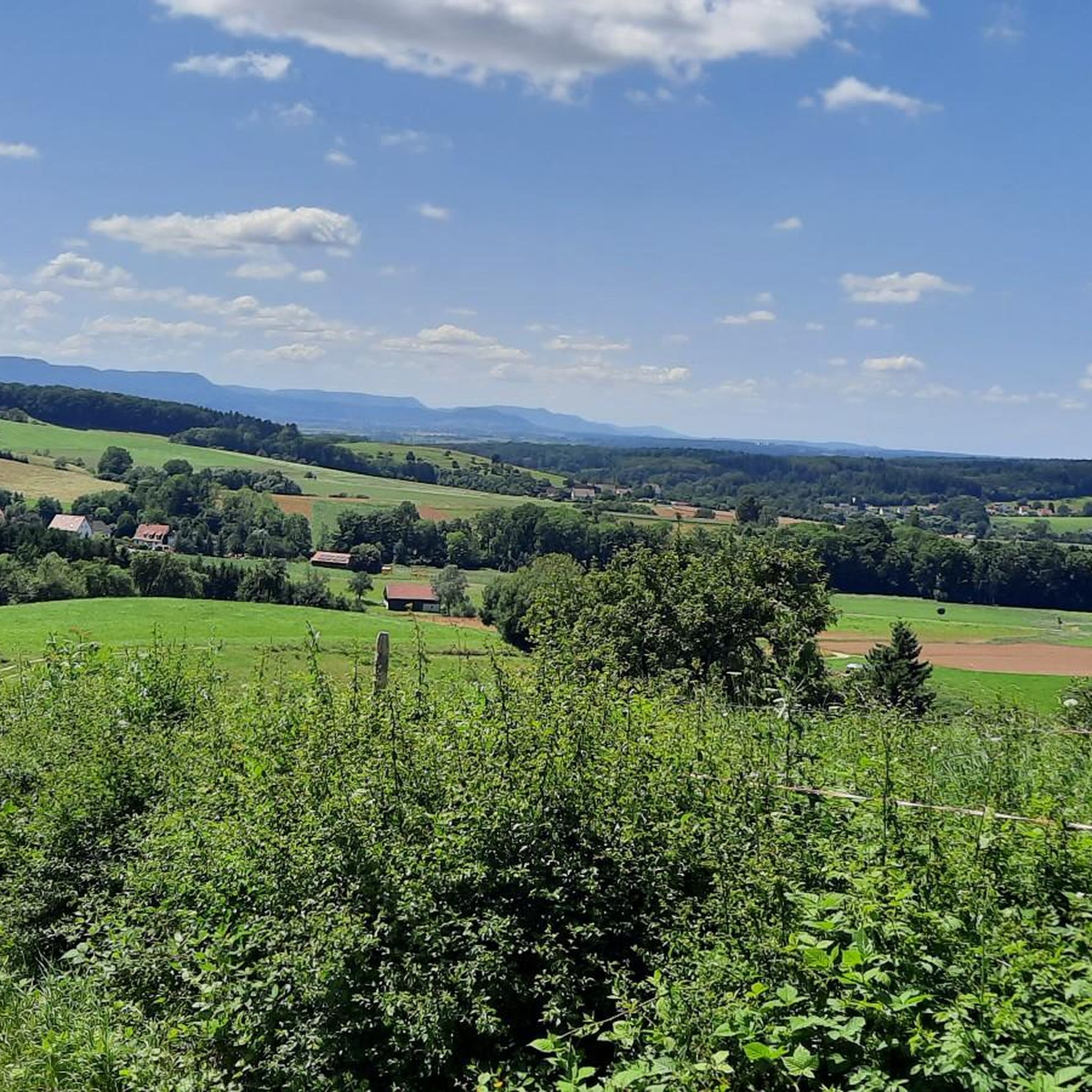
Gravel biking around Ottenbach offers diverse landscapes at the foot of the Albtrauf in Baden-Württemberg. The region features a mix of green meadows, dense forests, and varied elevations within the Krumm valley. Towards the "Drei Kaiserberge" (Hohenstaufen, Rechberg, and Stuifen), the terrain becomes more mountainous, providing opportunities for challenging rides. This area is known for its established cycling network, suitable for exploring its natural features on gravel bike trails.
Best gravel bike trails around Ottenbach
- The most popular gravel bike…
Last updated: June 27, 2026
4.8
(4)
17
riders
Hard gravel ride. Very good fitness required. Mostly paved surfaces. Suitable for all skill levels.
5.0
(2)
9
riders
36.2km
02:42
790m
790m
Hard gravel ride. Very good fitness required. Mostly paved surfaces. Suitable for all skill levels.

Sign up for free
4.7
(12)
25
riders
36.0km
02:04
470m
460m
Hard gravel ride. Very good fitness required. Mostly paved surfaces. Suitable for all skill levels.
9
riders
39.7km
02:51
780m
780m
Hard gravel ride. Very good fitness required. Mostly paved surfaces. Suitable for all skill levels.
5.0
(1)
17
riders
112km
07:03
1,590m
1,590m
Hard gravel ride. Very good fitness required. Mostly paved surfaces. Suitable for all skill levels.
Get access to more routes and recommendations from other explorers.
Sign up for free
Already have an account?
Our route recommendations are based on thousands of hikes, rides, and runs completed by other people on komoot.
Start today with a free account
Your next adventure awaits.
Login or Signup

Tips from the Community

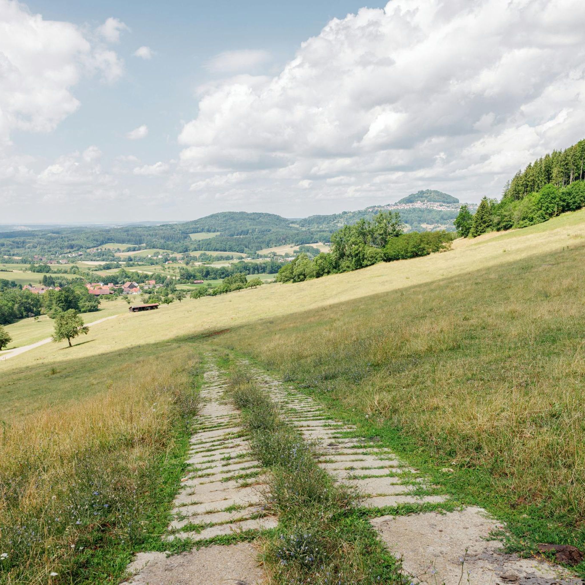
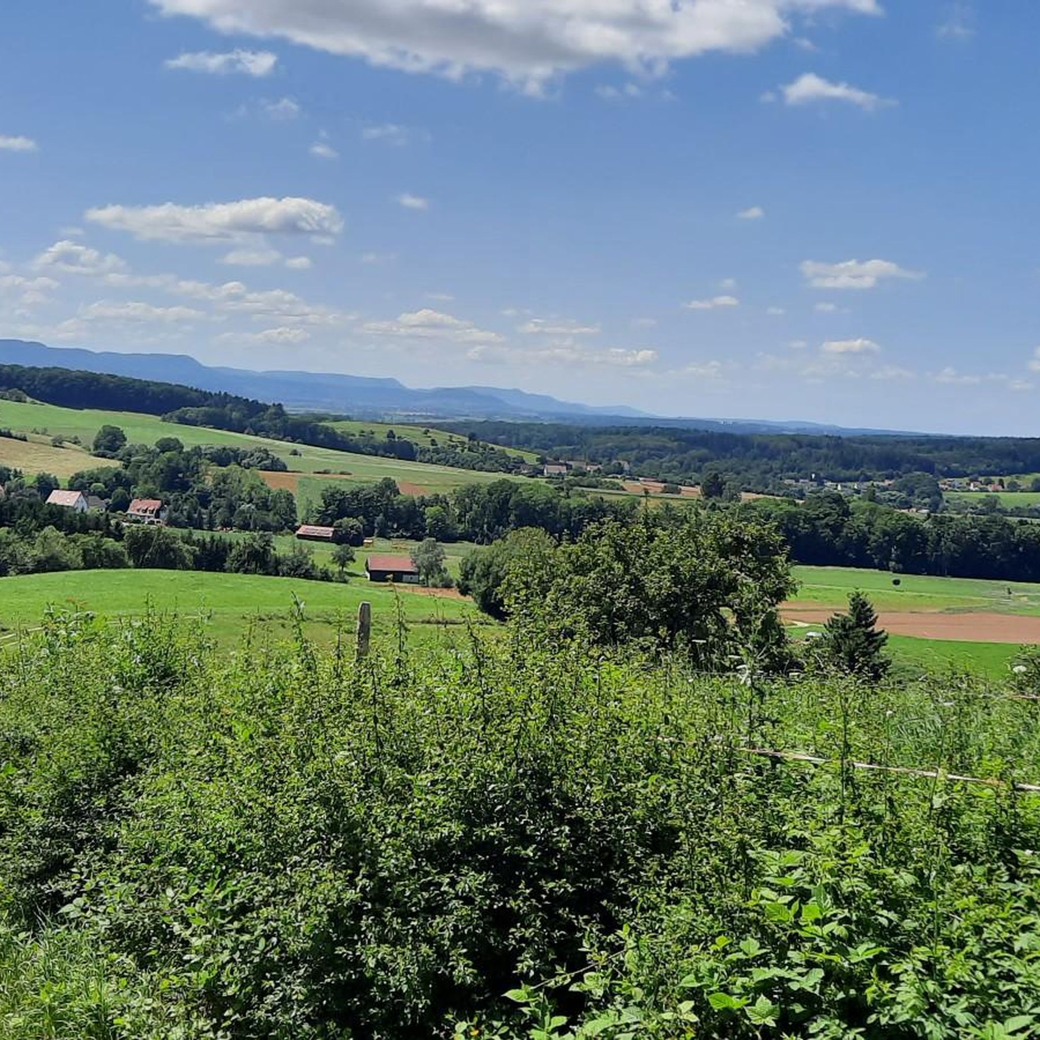
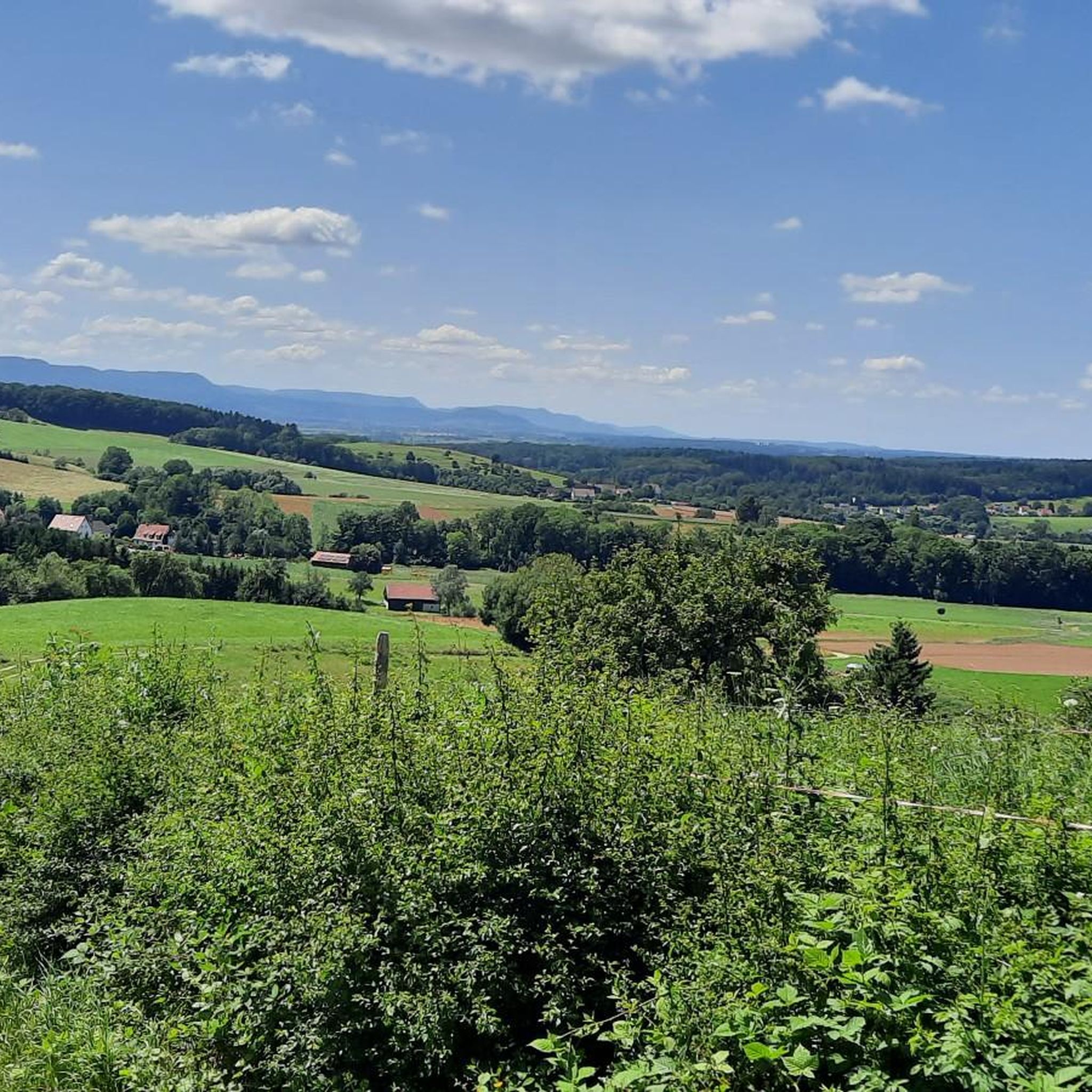
The view to the south is indeed very beautiful!
0
0

Here, cyclists are friendly to hikers and vice versa.
4
0

It's best to use the wooden bridge here, otherwise you'll get wet feet!
1
0

Ingenious and ideal for winter training
0
0

The lake is now completely silted up and has disappeared!
0
0

The structure referred to as the "Eseltal Dam" on the official sign of the Wedel-Brenz Water Board is actually a flood retention basin built in 1962. The body of water, which only carries water periodically and has no fixed bed for long stretches, is the Eseltalgraben. It is dammed here in the event of flooding to prevent flooding of the nearby Federal Highway 466 and, further along, the villages in the Stubental Valley up to the town of Heidenheim. The crest of the dam is 150 meters long, and its highest point is almost 13 meters above the valley floor.
12
0

Beautifully situated in the forest
0
0

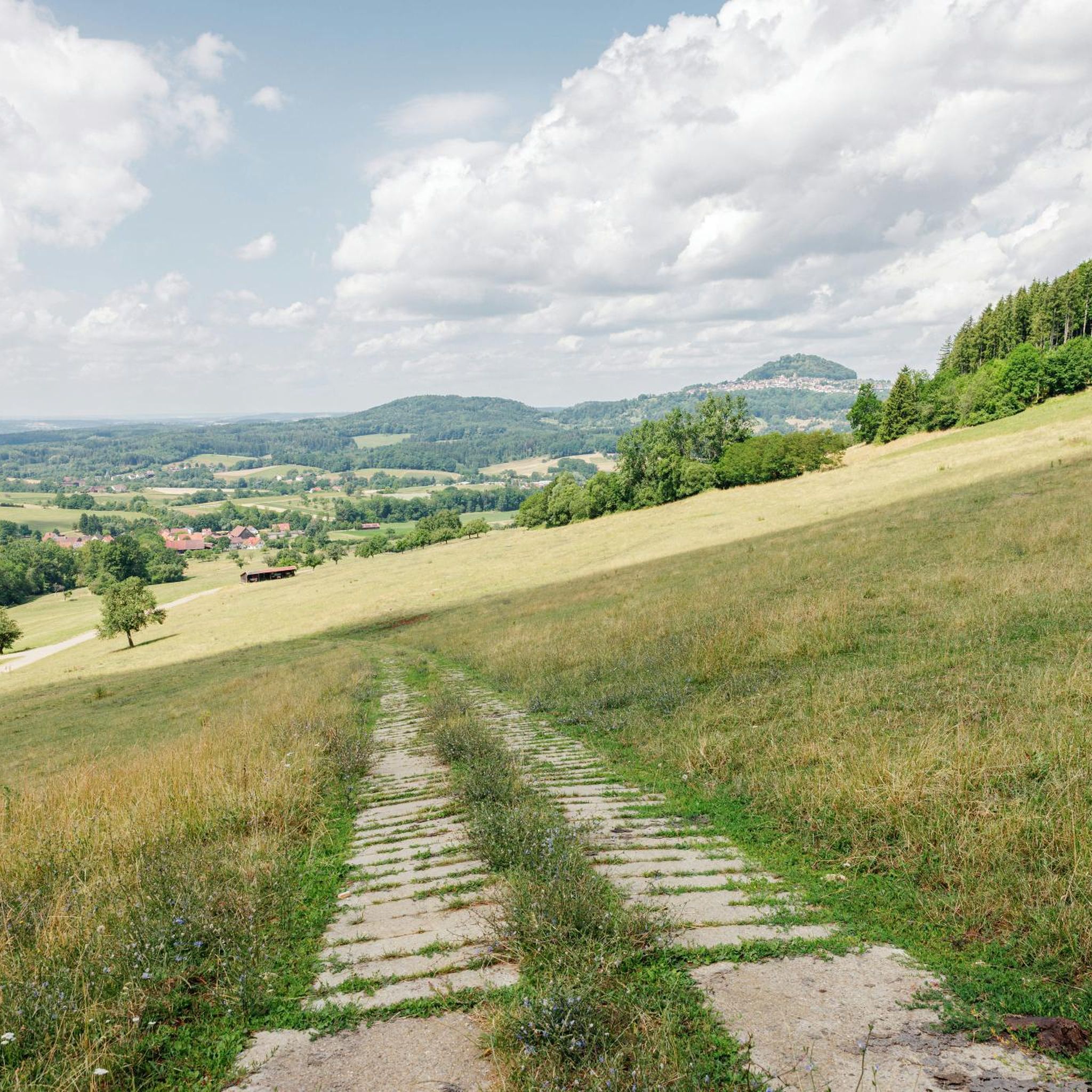
The Hohe Rechberg from the back, otherwise I always see it from the south.
4
0
Frequently Asked Questions
How many gravel bike trails are available around Ottenbach?
Ottenbach offers a wide selection of gravel biking routes, with over 160 trails recorded on komoot. These range from moderate paths to more challenging climbs, ensuring options for various skill levels.
What kind of terrain can I expect on gravel bike trails near Ottenbach?
The terrain around Ottenbach is quite diverse. You'll find a mix of green meadows, dense forests, and varied elevations within the Krumm valley. Towards the "Drei Kaiserberge" (Hohenstaufen, Rechberg, and Stuifen), the landscape becomes more mountainous, offering more challenging climbs and descents. The region's location at the foot of the Albtrauf scarp also contributes to its varied topography.
Are there any long-distance gravel biking routes in the Ottenbach area?
Yes, Ottenbach offers several longer gravel biking routes. For example, the View of Hohenstaufen – View of the Rechberg loop from Spielburg is a challenging 94.9 km (59.0 miles) trail that takes about 7 hours to complete, offering expansive views of the Hohenstaufen and Rechberg mountains.
What are some scenic viewpoints or natural features I can see along the gravel trails?
The region is rich in scenic spots. You can enjoy impressive views of the Swabian Alb from the "Drei Kaiserberge" like Hohenstaufen and Rechberg. Highlights such as the Hohenstaufen Castle Ruins and Viewpoint and the Hohenrechberg Castle Ruins offer great vistas. The Schelmenklinge Water Features near Ottenbach also provide a unique natural diversion with imposing sandstone cliffs and waterfalls.
Are there any circular gravel bike routes around Ottenbach?
Yes, many of the gravel routes in Ottenbach are designed as loops. A popular example is the View of the Hausener Wand – Tälesbahn Cycle Path loop from Heldenberg, a 63.2 km (39.3 miles) trail leading through varied terrain.
What do other gravel bikers enjoy most about gravel biking in Ottenbach?
The area is highly rated by the komoot community, with an average score of 4.6 stars from over 100 reviews. Riders often praise the diverse landscapes, ranging from gentle paths through meadows and forests to more challenging routes around the "Drei Kaiserberge," and the well-developed network of trails suitable for gravel biking.
Are there any family-friendly gravel biking options in Ottenbach?
While many routes in Ottenbach are rated as difficult due to elevation changes, there are also moderate options available. For family-friendly rides, look for routes with less elevation gain and shorter distances. The region's extensive cycling network includes paths suitable for various abilities, so checking individual route details on komoot is recommended to find the best fit.
Can I find cafes or places to rest along the gravel bike trails?
Yes, the region has mountain huts and viewpoints that can serve as scenic rest stops. The Wasserberghaus and Franz-Keller Hut are examples of such places offering wide views. While specific cafes directly on every trail might vary, these huts provide opportunities for a break and refreshments.
What is the best time of year for gravel biking in Ottenbach?
Ottenbach is generally suitable for outdoor activities for much of the year. Spring and autumn offer pleasant temperatures and beautiful scenery with changing foliage. Summer provides longer daylight hours, though some trails might be more exposed to sun. Winter gravel biking is possible, but conditions can be challenging with colder weather and potential snow or ice, especially at higher elevations.
Are there any routes that pass by reservoirs or bodies of water?
Yes, some routes incorporate local water features. For instance, the Spielburg – Herrenbach Reservoir (North) loop from Spielburg explores the area around Spielburg and passes by the Herrenbach Reservoir, offering picturesque views of the water.
What are the options for parking when accessing gravel trails in Ottenbach?
While specific parking information for every trailhead isn't detailed, Ottenbach is known for its established cycling infrastructure. It's advisable to check the starting points of individual routes on komoot for designated parking areas or nearby public parking facilities. Many routes start from villages or towns where parking is typically available.
Are there any routes that are particularly challenging for advanced gravel bikers?
Absolutely. The proximity to the "Drei Kaiserberge" and the Albtrauf scarp means there are routes with significant elevation changes. Many of the trails, like the View of the Rechberg – View of Hohenstaufen loop from GVV Mittleres Fils-Lautertal, are rated as difficult, featuring substantial climbs and descents that will test experienced riders.
Most popular routes around Ottenbach
Most popular attractions around Ottenbach

Get inspired with the komoot mobile app


Explore more
Browse the best Gravel rides in other regions.
