The best gravel rides around Altbach
4.5
(241)
1,178
riders
132
rides
Gravel biking around Altbach offers diverse terrain across river valleys, agricultural landscapes, and forested hills. The region is situated on the southern slope of the Schurwald forest, providing extensive unpaved forest roads and trails through varied and hilly terrain. Routes also follow the Neckar Valley, featuring scenic paths along the river, and traverse hilly agricultural areas with farm tracks and quieter backroads. This blend of environments creates varied gravel biking opportunities with both gentle inclines and significant elevation gains.
Best gravel bike trails around Altbach
- The most popular gravel bike trail is Ulrichs Bridge Köngen – Körsch Bridge loop from Deizisau, a 23.2 miles (37.3 km) trail that takes 2 hours 36 minutes to complete. This moderate route connects various bridges and offers a scenic loop from Deizisau.
- Another top favourite among local gravel bikers is Kirschbaumweg – Wilhelmasaat Giant Sequoia loop from Esslingen-Zell, a moderate 15.5 miles (24.9 km) path. This route loops through areas featuring natural landmarks like Kirschbaumweg and a Giant Sequoia.
- Local gravel bikers also love the Körschtal Valley – Nellinger Valley loop from Deizisau, a 26.0 miles (41.8 km) trail leading through the Körschtal and Nellinger Valleys, often completed in about 2 hours 54 minutes.
- Gravel biking around Altbach is defined by forested tracks of the Schurwald, riverside paths along the Neckar, and rural roads through hilly agricultural landscapes. The network offers options for different ability levels, from moderate loops to longer valley explorations.
- The routes in Altbach are highly rated by the komoot community with an average score of 4.4 stars from over 290 reviews. More than 1400 gravel bikers have used komoot to explore Altbach's varied terrain.
Last updated: July 11, 2026
4.5
(2)
32
riders
44.3km
02:46
490m
490m
Hard gravel ride. Very good fitness required. Mostly paved surfaces. Suitable for all skill levels.
5.0
(6)
30
riders
27.4km
01:33
240m
240m
Moderate gravel ride. Good fitness required. Mostly paved surfaces. Suitable for all skill levels.

Sign up for free
5.0
(2)
19
riders
27.6km
01:31
200m
200m
Moderate gravel ride. Good fitness required. Mostly paved surfaces. Suitable for all skill levels.
4.7
(6)
16
riders
25.2km
01:23
230m
230m
Moderate gravel ride. Good fitness required. Mostly paved surfaces. Suitable for all skill levels.
13
riders
21.5km
01:15
260m
260m
Moderate gravel ride. Good fitness required. Mostly paved surfaces. Suitable for all skill levels.
Get access to more routes and recommendations from other explorers.
Sign up for free
Already have an account?
Our route recommendations are based on thousands of hikes, rides, and runs completed by other people on komoot.
Start today with a free account
Your next adventure awaits.
Login or Signup
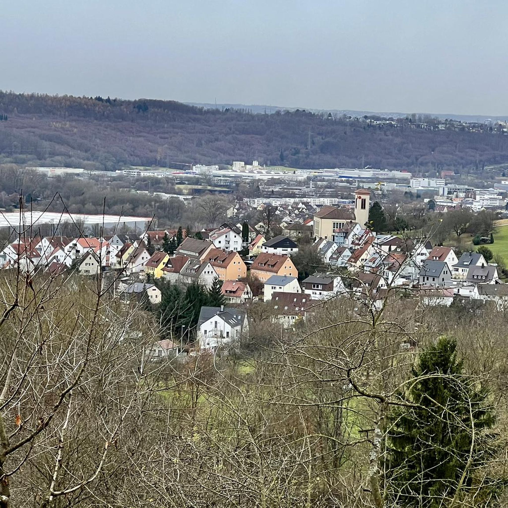
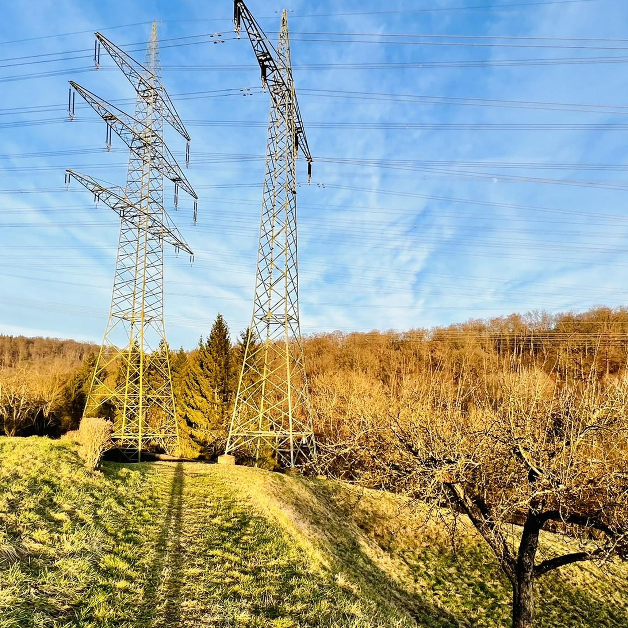
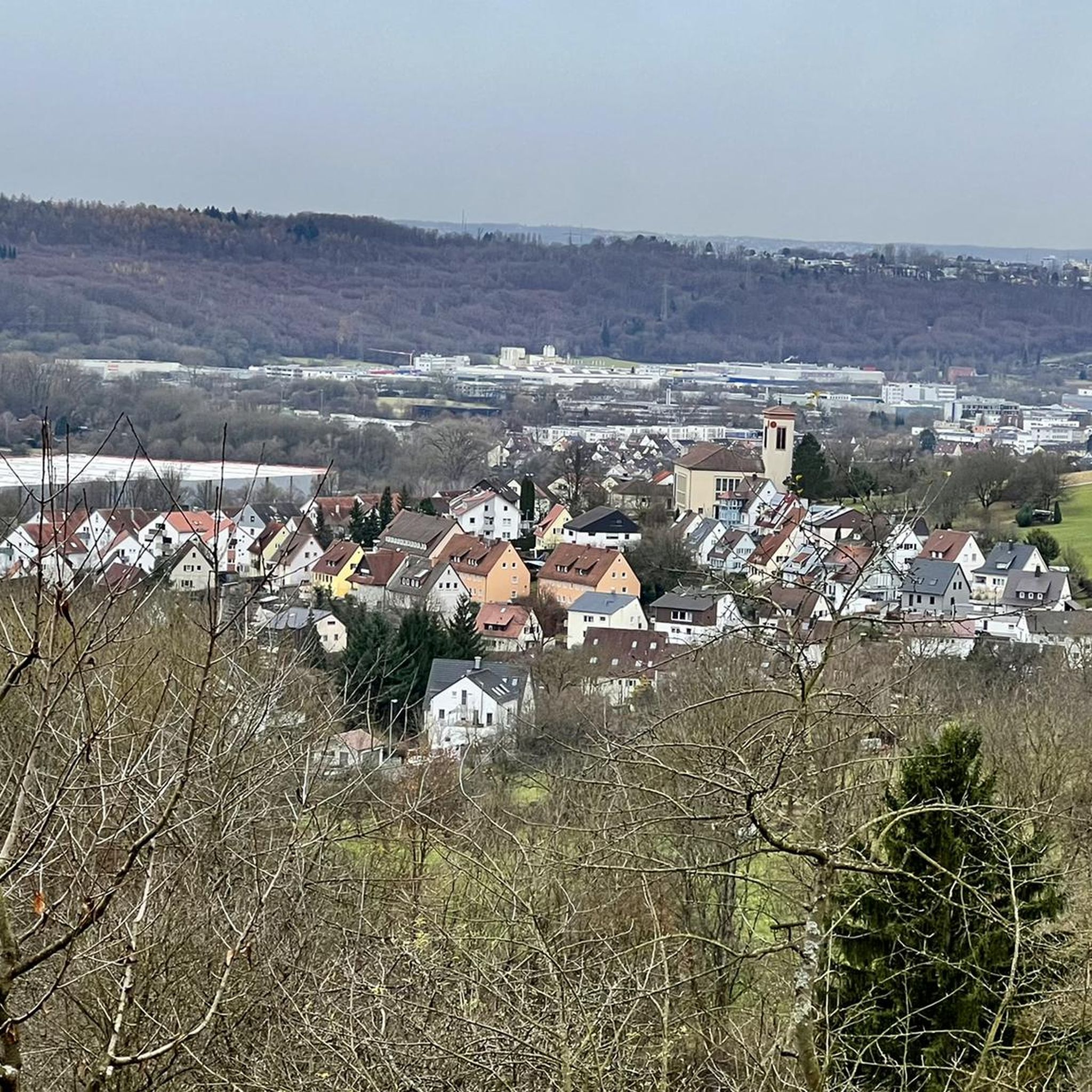
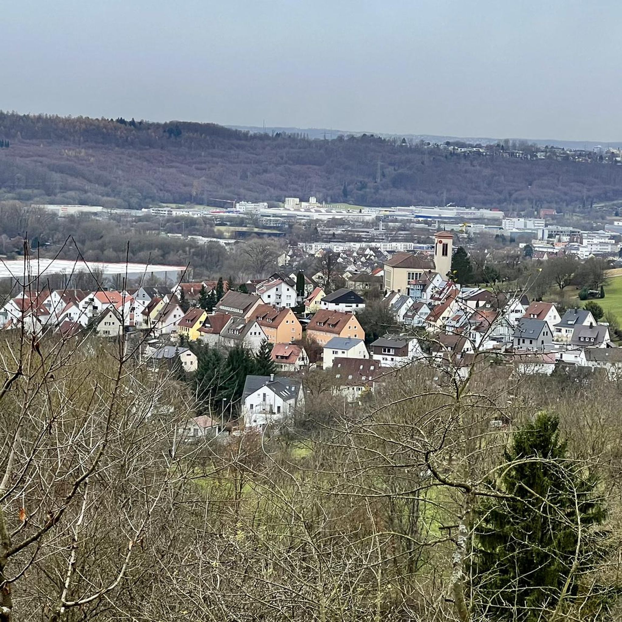
Tips from the Community

Imposing specimens of giant sequoias from the so-called "Wilhelma-seed" stand in Baltmannsweiler at the Schlössleseen.
1
0

Beautiful forest path down from the Fildern
0
0

It's a beautiful nature trail, perfect for cycling 🚴.
0
0

A beautiful spot at the beginning of the hiking trails along the Körsch River, seen from the Körschtal hiking car park. In summer, you can cool your feet there or give your dog a quick dip.
3
1

Nice easy path through the forest.
0
0
Very beautiful and quiet location. Wonderfully situated through the forest.
0
0

Nice trail flow roots + jumps
1
0
Frequently Asked Questions
What types of terrain can I expect on gravel bike trails around Altbach?
Gravel biking around Altbach offers a diverse mix of landscapes. You'll find extensive unpaved forest roads and trails within the Schurwald forest, scenic paths along the Neckar River, and rural roads through hilly agricultural areas. This blend provides varied experiences, from riverside cruising to more challenging forest climbs.
How many gravel bike trails are available in the Altbach area?
There are over 280 gravel bike routes available around Altbach on komoot. These routes cater to various preferences, with a good mix of easy, moderate, and difficult options.
Are there gravel bike routes suitable for beginners or families in Altbach?
Yes, Altbach offers routes suitable for different skill levels, including easier options perfect for beginners or families. For example, the Neckar Valley features flatter sections ideal for a relaxed ride. While specific 'easy' routes aren't highlighted for families, you can filter for easier routes on komoot to find suitable options.
What do other gravel bikers enjoy most about the routes in Altbach?
The gravel bike routes in Altbach are highly rated by the komoot community, with an average score of 4.4 stars from over 550 reviews. More than 3,000 gravel bikers have explored the area, often praising the varied terrain, from the quiet forest tracks of the Schurwald to the scenic riverside paths along the Neckar.
Are there any loop gravel bike routes around Altbach?
Yes, many gravel bike routes in Altbach are designed as loops, allowing you to start and finish at the same point. A popular example is the Ulrichs Bridge Köngen – Körsch Bridge loop from Deizisau, which covers 23.2 miles (37.3 km) and connects various scenic bridges.
What are some scenic highlights or natural attractions I can see along the gravel bike trails?
The region around Altbach is rich in natural beauty. Along your rides, you might encounter features like the Tiefklinge (Mittlerer Schurwald) gorge, the tranquil Strümpfelbach Valley, or the Rappenloch Nature Reserve. Many routes also offer views of the Swabian Jura and the picturesque Neckar Valley.
How long are the typical gravel bike trails in Altbach?
The gravel bike trails around Altbach vary significantly in length. You can find routes ranging from shorter loops of around 15 miles (25 km), like the Kirschbaumweg – Wilhelmasaat Giant Sequoia loop from Esslingen-Zell, to longer explorations exceeding 26 miles (40 km), such as the Körschtal Valley – Nellinger Valley loop from Deizisau.
When is the best time of year to go gravel biking in Altbach?
The best time for gravel biking in Altbach is generally from spring through autumn (April to October). During these months, the weather is typically mild, and the trails are in good condition. Spring brings blooming landscapes, while autumn offers beautiful fall foliage, especially in the Schurwald forest.
Are there any specific trails that pass through valleys or along rivers?
Yes, many routes in the Altbach area incorporate river valleys and riverside paths. The Neckar Valley itself offers scenic routes along its banks. You can also explore trails like the Stone Bridge in Reichenbachtal – Reichenbach Valley – Mill Valley loop from Altbach, which takes you through picturesque valleys.
Can I access gravel bike trails in Altbach using public transport?
Altbach is situated in the Neckar Valley, a region generally well-connected by public transport. Many starting points for gravel bike routes, especially those along the Neckar, are accessible via local train or bus services. It's advisable to check local public transport schedules for specific route access points.
Are there any longer gravel bike routes for experienced riders?
Yes, for experienced riders seeking longer challenges, Altbach offers numerous routes classified as 'difficult' on komoot, as well as extended 'moderate' options. For instance, the Fils River Cycle Bridge (RS14) – Fils Riverside Path loop from Plochingen is a moderate 27.3 miles (43.9 km) route that provides a substantial ride through varied landscapes.
Most popular routes around Altbach
Most popular attractions around Altbach

Get inspired with the komoot mobile app


Explore more
Browse the best Gravel rides in other regions.
