The best gravel rides around Braunichswalde
4.9
(11)
45
riders
8
rides
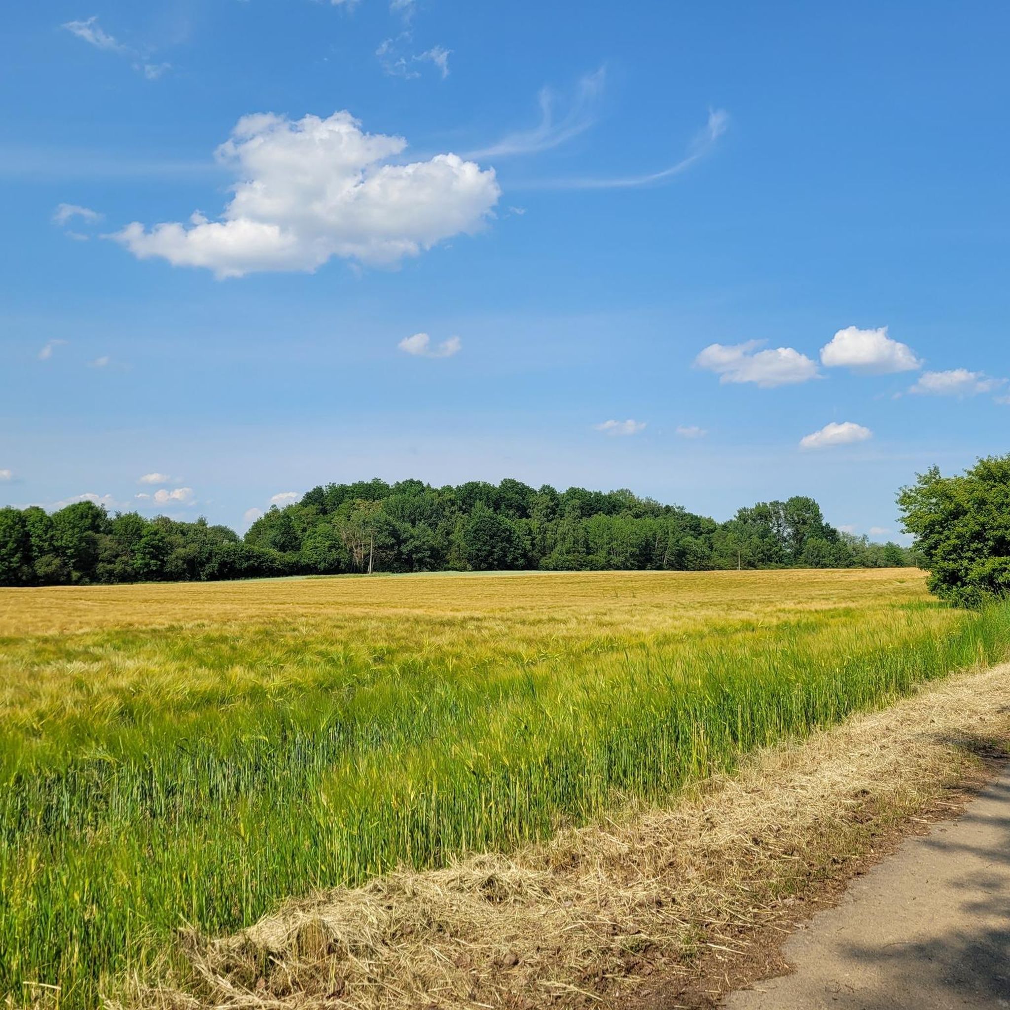
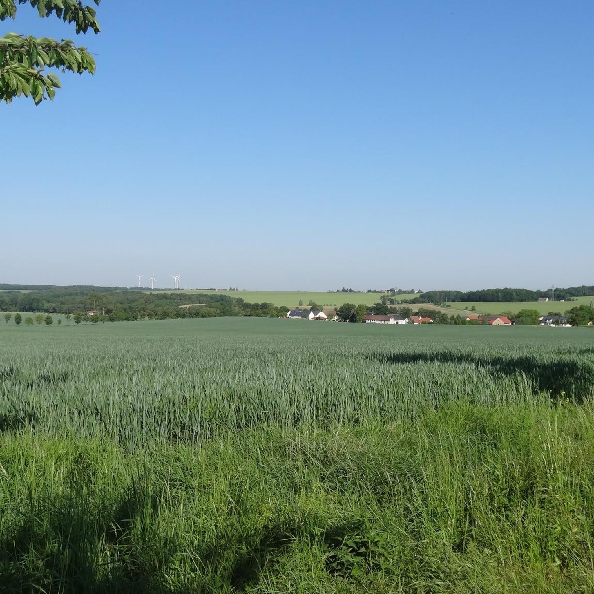
Gravel biking around Braunichswalde features diverse terrain, including dense forests, open landscapes, and varied elevation profiles. The area is characterized by a mix of paved and unpaved segments, offering routes suitable for different fitness levels. Notable natural features include the Schmirchauer Höhe, a landscape monument with expansive views, and the tranquil Dahlen Heath with its numerous ponds and woodlands. These natural attributes provide a scenic backdrop for exploring the region on gravel bike trails.
Best gravel bike trails around Braunichswalde
- The most popular gravel bike trail is Koberbach Forest Trail – White Elster Riverbank loop from Schweinsburg-Culten, a 52.0 miles (83.6 km) trail that takes 5 hours 59 minutes to complete. This difficult route explores forest paths and riverbanks, featuring significant elevation gain.
- Another top favourite among local gravel bikers is Greiz-Werdau Forest – Forebay of Koberbach Dam loop from Schweinsburg-Culten, a moderate 28.2 miles (45.4 km) path. This route winds through the Greiz-Werdau Forest and past the Koberbach Dam, offering varied scenery.
- Local gravel bikers also love the White Elster Riverbank – Hüttchenberg Quarry loop from Berga (Elster), a 18.3 miles (29.4 km) trail leading through riverine landscapes and past the Hüttchenberg Quarry, often completed in about 2 hours 10 minutes.
- Gravel biking around Braunichswalde is defined by dense forests, river valleys, and gentle hills, with routes often incorporating natural monuments and tranquil pond landscapes. The network offers options for different ability levels.
- The routes in Braunichswalde are highly rated by the komoot community with an average score of 4.9 stars from over 9 reviews. More than 40 gravel bikers have used komoot to explore Braunichswalde's varied terrain.
Last updated: July 16, 2026
4.5
(2)
11
riders
45.2km
02:32
420m
420m
Moderate gravel ride. Good fitness required. Mostly paved surfaces. Suitable for all skill levels.
4.7
(3)
5
riders
34.4km
02:00
370m
370m
Moderate gravel ride. Good fitness required. Mostly paved surfaces. Suitable for all skill levels.

Sign up for free
5.0
(1)
11
riders
29.3km
01:42
170m
170m
Moderate gravel ride. Good fitness required. Mostly paved surfaces. Suitable for all skill levels.
5.0
(1)
7
riders
Moderate gravel ride. Good fitness required. Mostly paved surfaces. Suitable for all skill levels.
5.0
(1)
4
riders
Moderate gravel ride. Good fitness required. Mostly paved surfaces. Suitable for all skill levels.
Get access to more routes and recommendations from other explorers.
Sign up for free
Already have an account?
Our route recommendations are based on thousands of hikes, rides, and runs completed by other people on komoot.
Start today with a free account
Your next adventure awaits.
Login or Signup
Tips from the Community

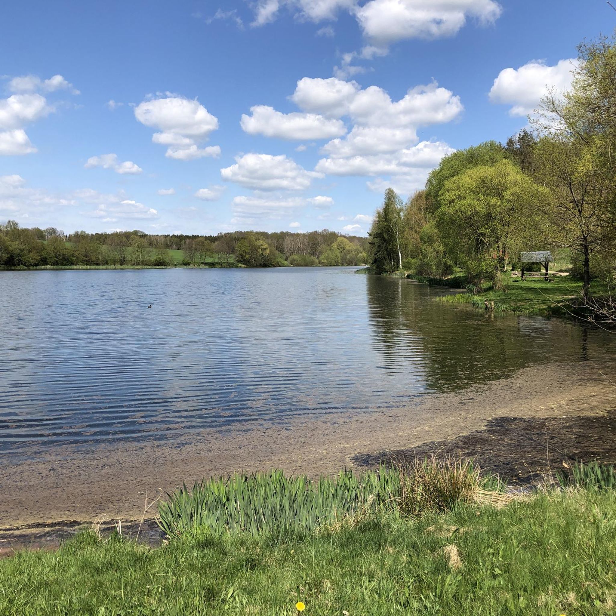
Beautiful tour through the Werdauer Wald with a relaxing destination, the Koberbachtalsperre.
0
0
Fantastic nature, peace and quiet, and great cycle paths.
0
0

Besides cycling, a short hike on the Elsterperlenweg trail is also recommended. Sure-footedness is required.
2
0

Beautiful view from the tower of the surrounding fields and meadows as well as the villages in the distance.
1
0

Great tower with 360° view 🤩
21
0

beautiful, well-developed cycle path
1
0

To commemorate the 400th anniversary of Martin Luther's birth on November 10, 1883, two linden trees were planted at the entrance to the cemetery. After the church was renovated, the organ was consecrated in 1902. Between 1987 and 1989, the church's interior was completely renovated and redesigned. A late Baroque painting was discovered beneath the 1901 woodwork, and the Gothic beamed ceiling now shines with renewed splendor in its original colors. In 1998, St. Mary's Church celebrated its 700th anniversary. Source: https://endschütz.de/startseite/das-dorf/historisches/
1
0

Small, fine dam, originally built to supply process water to the former textile factories downstream of the Pleisse.
0
0
Frequently Asked Questions
What kind of terrain can I expect on gravel bike trails around Braunichswalde?
The region offers a diverse mix of terrain, perfect for gravel biking. You'll encounter dense forests, open landscapes, and varied elevation profiles. Routes often combine paved and unpaved segments, winding through river valleys and gentle hills. Expect to ride on forest paths, along riverbanks, and through tranquil pond landscapes.
Are there any challenging gravel routes for experienced riders?
Yes, for experienced riders seeking a challenge, the area offers routes with significant elevation gain. A notable difficult route is the Koberbach Forest Trail – White Elster Riverbank loop from Schweinsburg-Culten, which spans 52.0 miles (83.6 km) and features substantial ascents.
What natural features or landmarks can I see along the gravel bike routes?
Braunichswalde's gravel routes often pass by compelling natural monuments and scenic spots. You might encounter the Forebay of Koberbach Dam, or the tranquil Reservoir pond in the Werdauer Forest. The region is also known for the Schmirchauer Höhe, a landscape monument with expansive views, and impressive slate rock geological formations.
Are there any moderate gravel bike trails suitable for a relaxed ride?
Absolutely. Many routes in the area are classified as moderate, offering varied scenery without extreme difficulty. For example, the Greiz-Werdau Forest – Forebay of Koberbach Dam loop from Schweinsburg-Culten is a popular moderate path winding through forests and past the Koberbach Dam.
What do other gravel bikers say about the trails in Braunichswalde?
The gravel biking routes around Braunichswalde are highly regarded by the komoot community, holding an average rating of 4.7 stars from over 9 reviews. Riders often praise the diverse terrain, the scenic beauty of the forests and river valleys, and the variety of options available for different skill levels.
Are there any circular gravel routes available?
Yes, many of the gravel routes in the Braunichswalde area are designed as loops, allowing you to start and end at the same point. An example is the White Elster Riverbank – Hüttchenberg Quarry loop from Berga (Elster), which offers a scenic circular ride through riverine landscapes.
How many gravel bike trails are there in Braunichswalde?
There are currently 10 gravel bike trails listed around Braunichswalde, offering a good range of options for different preferences and fitness levels. These include 8 moderate routes and 2 more difficult ones.
Can I find routes that pass by lakes or water features?
Yes, the region is rich in water features. The Dahlen Heath, a nearby area, is known for over 50 idyllic ponds. You can find routes that pass by the Forebay of Koberbach Dam or the Reservoir pond in the Werdauer Forest, offering serene views during your ride.
Are there any routes suitable for a shorter gravel ride?
If you're looking for a shorter ride, the Wünschendorf (Elster) Covered Bridge – Wünschendorf Old Wooden Bridge loop from Berga (Elster) is a moderate 14.8-mile (23.8 km) trail that can typically be completed in about 2 hours, offering a pleasant experience through riverine landscapes.
What are the typical elevation changes on gravel routes in this area?
The routes around Braunichswalde feature varied elevation profiles, ranging from gentle hills to more significant ascents. While some moderate routes have around 300-400 meters of elevation gain, more challenging trails like the Koberbach Forest Trail – White Elster Riverbank loop can involve over 800 meters of climbing.
Are there any routes that explore the Dahlen Heath?
While specific routes directly named for the Dahlen Heath are not listed, the region's characteristics, including its romantic landscape with over 50 idyllic ponds and dense forests, are reflected in many of the local gravel trails. You'll find similar tranquil environments and gentle altitude differences on routes like the Schlötenteich – Weidmannsruh Inn loop from Sorge-Settendorf.
Most popular routes around Braunichswalde
Most popular attractions around Braunichswalde

Get inspired with the komoot mobile app


Explore more
Browse the best Gravel rides in other regions.
