The best gravel rides around Oberteuringen
4.5
(72)
411
riders
53
rides
Gravel biking around Oberteuringen traverses a diverse landscape featuring gentle hilly terrain, expansive fruit orchards, and picturesque vineyards. The region is characterized by a mix of natural beauty, with rivers like the Rotach and Schussen winding through the landscape, alongside nature reserves such as the Hepbacher-Leimbacher Ried. Riders can expect varied surfaces, including mostly paved sections, secluded forest paths, and unpaved roads, offering a range of gravel biking experiences.
Best gravel bike trails around Oberteuringen
- The most popular gravel bike…
Last updated: June 28, 2026
4.0
(2)
16
riders
Moderate gravel ride. Good fitness required. Mostly paved surfaces. Suitable for all skill levels.
5.0
(4)
15
riders
Moderate gravel ride. Good fitness required. Mostly paved surfaces. Suitable for all skill levels.

Sign up for free
7
riders
Hard gravel ride. Very good fitness required. Mostly paved surfaces. Suitable for all skill levels.
4.0
(1)
10
riders
45.5km
02:39
360m
360m
Hard gravel ride. Good fitness required. You may need to push your bike for some segments of this route.
4.8
(5)
17
riders
25.5km
01:19
90m
90m
Easy gravel ride. Great for any fitness level. Mostly paved surfaces. Suitable for all skill levels.
Get access to more routes and recommendations from other explorers.
Sign up for free
Already have an account?
Our route recommendations are based on thousands of hikes, rides, and runs completed by other people on komoot.
Start today with a free account
Your next adventure awaits.
Login or Signup
Popular around Oberteuringen
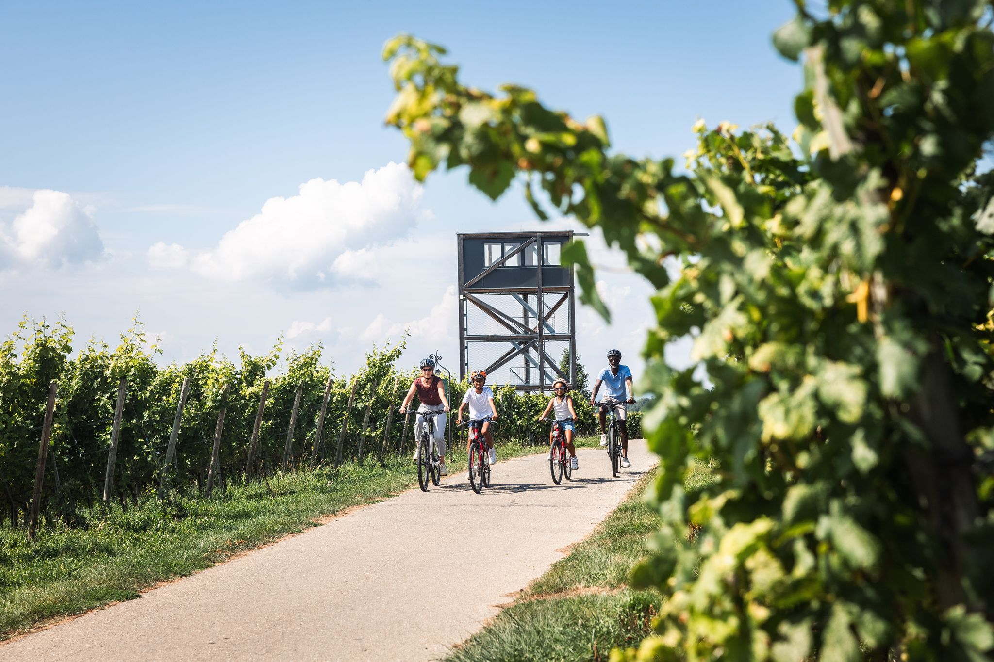
Lake Constance for young & old: cycling, swimming, picnicking, enjoying

Badestellen für Hunde – Erfrischung gefällig
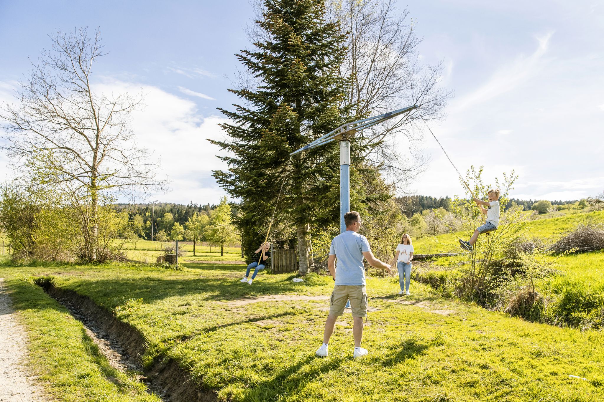
Erlebniswege für die ganze Familie – Wandern mit Kindern
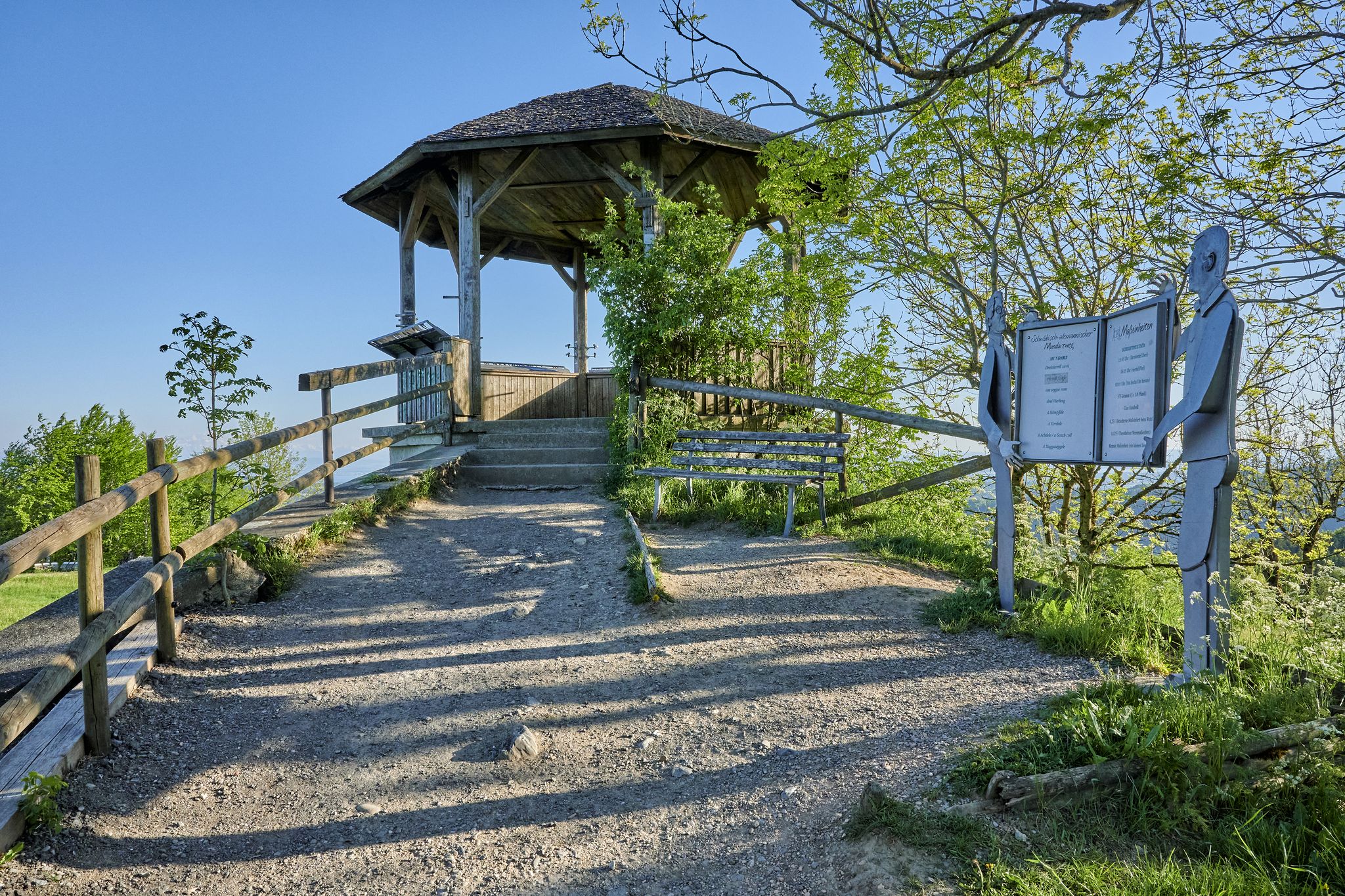
Stille Pfade, verborgene Schätze – Wandern im idyllischen Bodensee-Umland
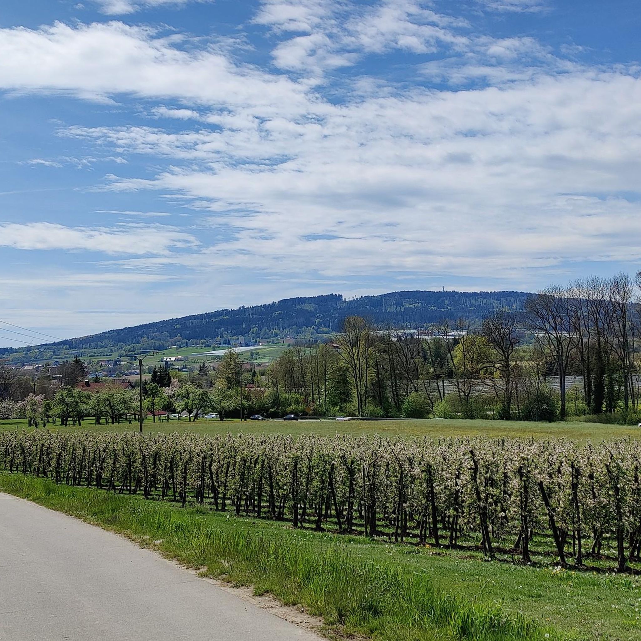
Cycling around Oberteuringen
Hiking around Oberteuringen
Road Cycling Routes around Oberteuringen
Running Trails around Oberteuringen
MTB Trails around Oberteuringen

Mountain Hikes around Oberteuringen
Other adventures around Oberteuringen

Tips from the Community

The highlight position shows a view of the Wolfegger Ache shortly before its confluence with the Schussen.
1
0
Here the Wolfegger Ache (!) is crossed, shortly before its mouth into the Schussen.
1
0

Perfect for "quickly getting away from traffic"
1
0

A wonderful café with lots of love and a great atmosphere. New owner from 2026.
2
0
Beautifully situated pond with fishing spots
1
0

Degerseestuben, a must-stop. Very, very friendly and delicious food. Nice little beach.
1
0

Like the nearby Muttelsee, Wielandssee, and Degersee lakes, the Schleinsee formed as a meltwater lake towards the end of the last Ice Age, approximately 15,000 years ago. The two surface tributaries are insignificant; however, several subterranean springs feed the Schleinsee. The theoretically calculated water renewal time is approximately two years.
3
0
A beautiful memory of the large trading family with its trains across the Alps to Italy, which made the family very wealthy in the Middle Ages.
3
0
Frequently Asked Questions
How many gravel bike trails are available around Oberteuringen?
There are over 140 gravel bike trails around Oberteuringen, offering a wide range of options for different skill levels and preferences. You'll find everything from easy, relaxed rides to challenging routes with significant elevation gains.
What kind of terrain can I expect on gravel bike trails in Oberteuringen?
Gravel biking around Oberteuringen features a diverse landscape including gentle hilly terrain, expansive fruit orchards, and picturesque vineyards. Routes often combine mostly paved sections with secluded forest paths and unpaved roads, providing the varied surfaces gravel bikers enjoy.
Are there any family-friendly gravel bike trails in the Oberteuringen area?
Yes, many of the trails around Oberteuringen are suitable for families, especially those that follow river valleys or pass through orchards on relatively flat terrain. For a moderate option, consider the Killenweiher Water Lily Pond – Descent to Schiggendorf loop from Markdorf (Baden), which offers varied terrain and natural beauty without extreme difficulty.
What are the best times of year for gravel biking in Oberteuringen?
The spring and autumn months are particularly vibrant for gravel biking in Oberteuringen, with flowering meadows and colorful deciduous forests. The region's proximity to Lake Constance generally offers pleasant conditions, though it's always wise to check local weather forecasts. Winter conditions can vary, with some trails potentially affected by snow or ice.
What natural features or landmarks can I see along the gravel bike trails?
The trails often wind through the scenic Rotach and Schussen river valleys, past fruit orchards, and near nature reserves like the Hepbacher-Leimbacher Ried. You can also find viewpoints offering panoramic views. For example, the Gehrenberg Tower Viewpoint offers expansive views over Lake Constance and the Alps, and the Schmalegger Tobel Waterfall is another natural highlight nearby.
Are there any circular gravel bike routes around Oberteuringen?
Yes, many gravel routes in the area are designed as loops, allowing you to start and end in the same location. A popular option is the Riedle Park – Argen River Nature Trail loop from Friedrichshafen-Fischbach, which follows the Argen River and offers scenic views.
Where can I find parking for gravel biking trails in Oberteuringen?
Parking is generally available in and around Oberteuringen, particularly at trailheads or near popular starting points in towns like Friedrichshafen-Fischbach or Markdorf. Look for designated parking areas in these locations when planning your ride.
Can I reach the gravel biking trails using public transport?
Oberteuringen and nearby towns are connected by public transport, making it possible to access various starting points for gravel bike trails. Friedrichshafen Harbour, for instance, is accessible via well-developed cycle paths and serves as a hub for boat tours on Lake Constance, which can be integrated into a cycling trip.
What do other gravel bikers enjoy most about the trails in Oberteuringen?
The gravel biking routes in Oberteuringen are highly rated by the komoot community, with an average score of 4.6 stars. Reviewers often praise the diverse landscapes, the mix of paved and unpaved surfaces, and the scenic views towards Lake Constance and the distant Alps.
Are there any longer distance gravel bike routes available?
For those seeking a longer ride, the region offers several extensive routes. The Rotach River Trail – Höge Trail loop from Friedrichshafen-Fischbach is a challenging 46.4-mile (74.7 km) trail that leads through the Rotach River valley, providing a substantial gravel biking experience.
Are there any trails with significant elevation gain for advanced riders?
Yes, Oberteuringen offers routes with significant elevation gains suitable for advanced gravel bikers. For example, the View of Deggenhausertal – Höchsten loop from NSG Lipbachsenke is a difficult 44.6-kilometer route with over 700 meters of ascent, providing a challenging ride and rewarding views from Höchsten.
Are there any cafes or pubs near the gravel bike trails in Oberteuringen?
The towns and villages surrounding Oberteuringen, such as Friedrichshafen-Fischbach and Markdorf, offer various cafes and pubs where you can refuel and relax after your ride. Many routes pass through or near these settlements, providing convenient stops.
Most popular routes around Oberteuringen
Most popular attractions around Oberteuringen

Get inspired with the komoot mobile app


Explore more
Browse the best Gravel rides in other regions.
