The best gravel rides around Weißendorf
3.7
(8)
48
riders
15
rides
Gravel biking around Weißendorf offers a diverse landscape for riders. The region features a mix of rolling terrain, with routes passing by bridges, observation towers, and various natural water bodies like ponds and dams. Elevations on some trails can reach up to 500 meters, providing varied gradients for gravel cyclists. The area's trails traverse both open and potentially wooded sections, connecting local points of interest.
Best gravel bike trails around Weißendorf
- The most popular gravel bike trail is Brückentelefon Bridge – Wooden Swing Shelter Rest Area loop from Weißendorf, a 15.3 miles (24.6 km) moderate trail that takes 1 hour 49 minutes to complete. This loop starts from Weißendorf and includes a bridge and a designated rest area.
- Another top favourite among local gravel bikers is Schöne Höhe Observation Tower – Wooden Swing Shelter Rest Area loop from Triebes, a difficult 27.6 miles (44.4 km) path. This route features an observation tower and a rest area, offering varied scenery.
- Local gravel bikers also love the Wooden Swing Shelter Rest Area – Weida Dam loop from Zadelsdorf, a 25.1 miles (40.5 km) trail leading through varied terrain including a dam, often completed in about 2 hours 43 minutes.
- Gravel biking around Weißendorf is defined by its mix of bridges, observation towers, and dam landscapes. The network offers options for both moderate and more difficult ability levels.
- The routes in Weißendorf are highly rated by the komoot community with an average score of 3.7 stars from more than 5 reviews. More than 40 gravel bikers have used komoot to explore Weißendorf's varied terrain.
Last updated: July 3, 2026
3.7
(3)
17
riders
Moderate gravel ride. Good fitness required. Mostly paved surfaces. Suitable for all skill levels.
3.0
(1)
11
riders
Hard gravel ride. Very good fitness required. Mostly paved surfaces. Suitable for all skill levels.

Sign up for free
4.0
(2)
8
riders
40.5km
02:43
520m
520m
Hard gravel ride. Very good fitness required. Mostly paved surfaces. Suitable for all skill levels.
4.0
(2)
5
riders
34.6km
02:13
340m
340m
Moderate gravel ride. Good fitness required. Mostly paved surfaces. Suitable for all skill levels.
3
riders
35.7km
02:20
380m
380m
Hard gravel ride. Good fitness required. You may need to push your bike for some segments of this route.
Get access to more routes and recommendations from other explorers.
Sign up for free
Already have an account?
Our route recommendations are based on thousands of hikes, rides, and runs completed by other people on komoot.
Start today with a free account
Your next adventure awaits.
Login or Signup
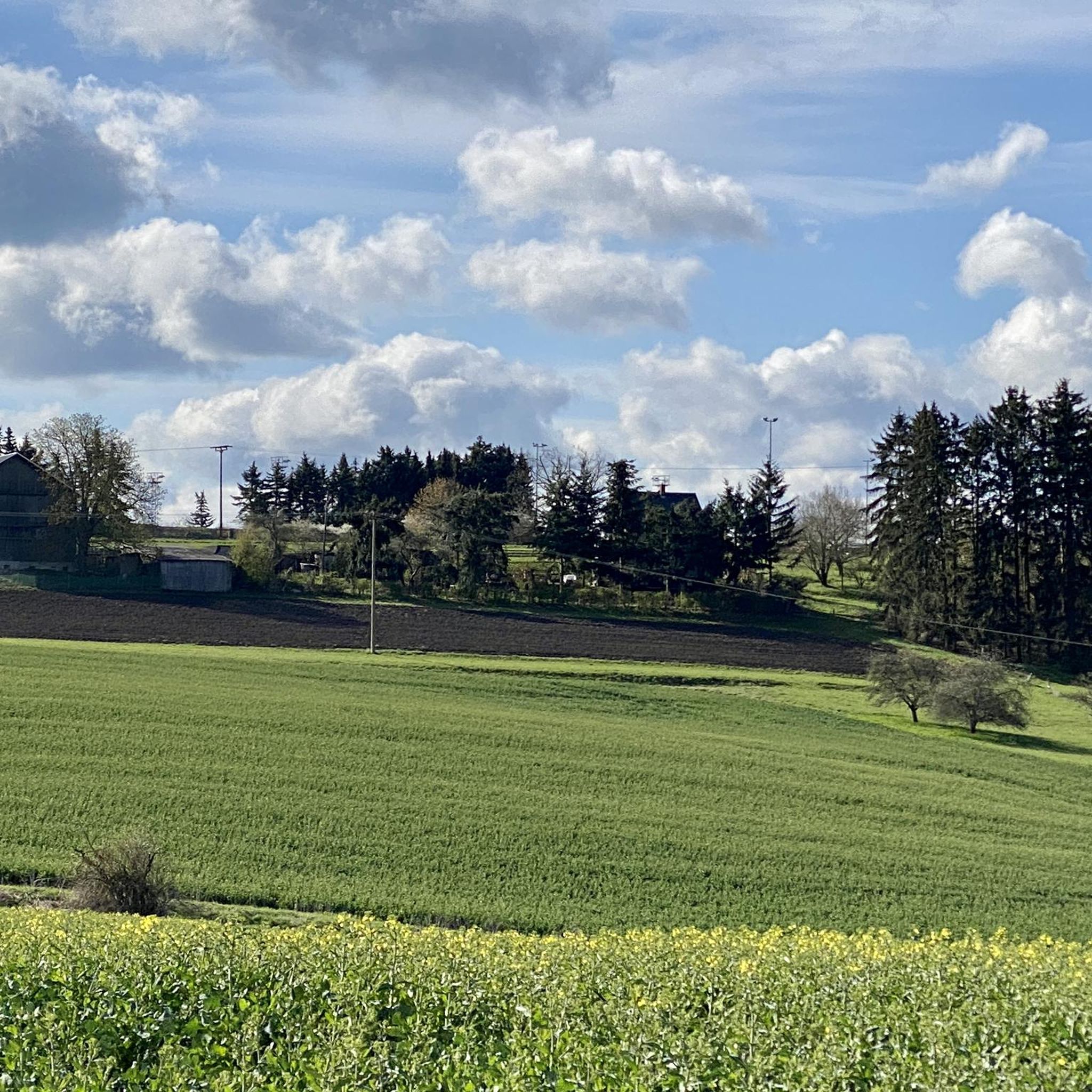
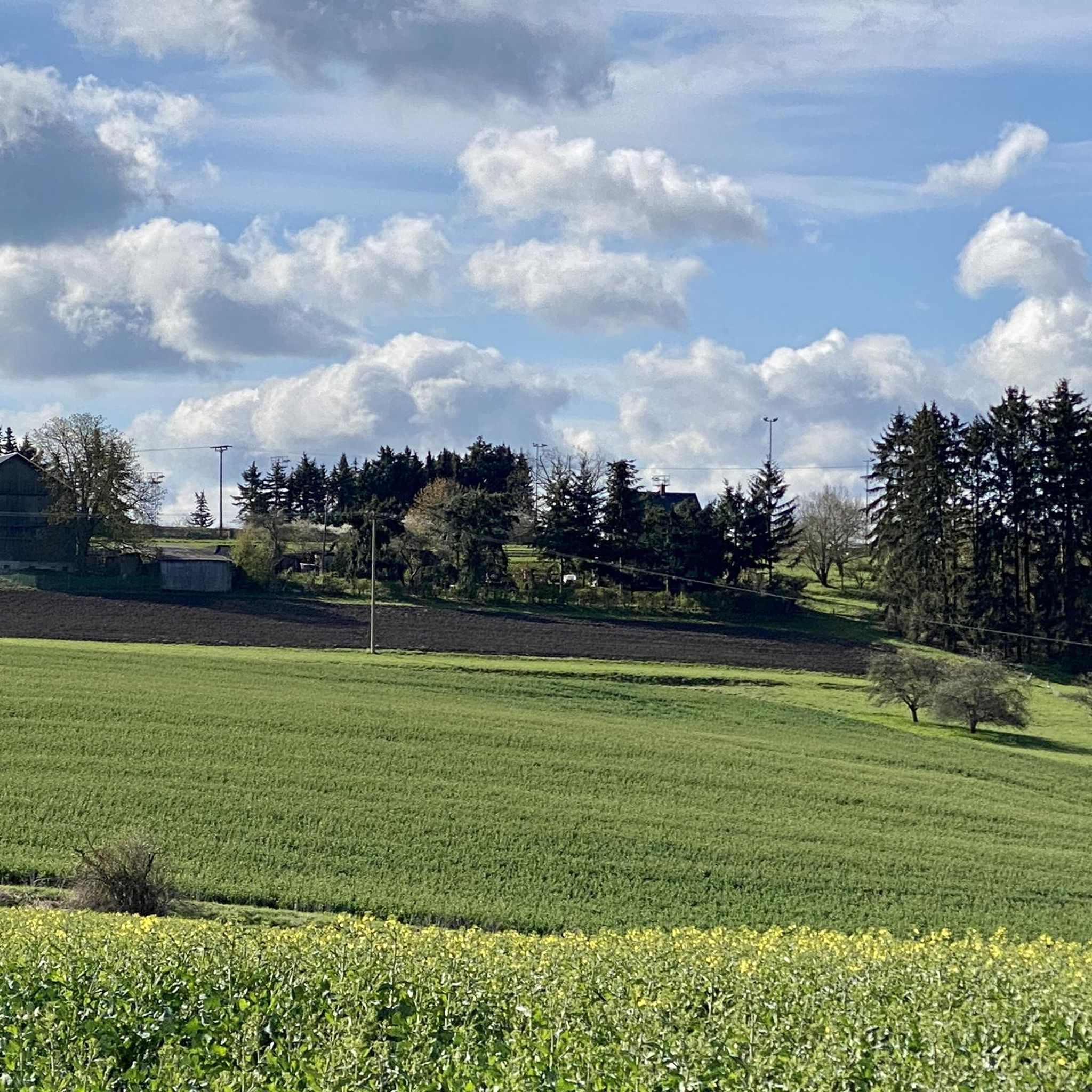
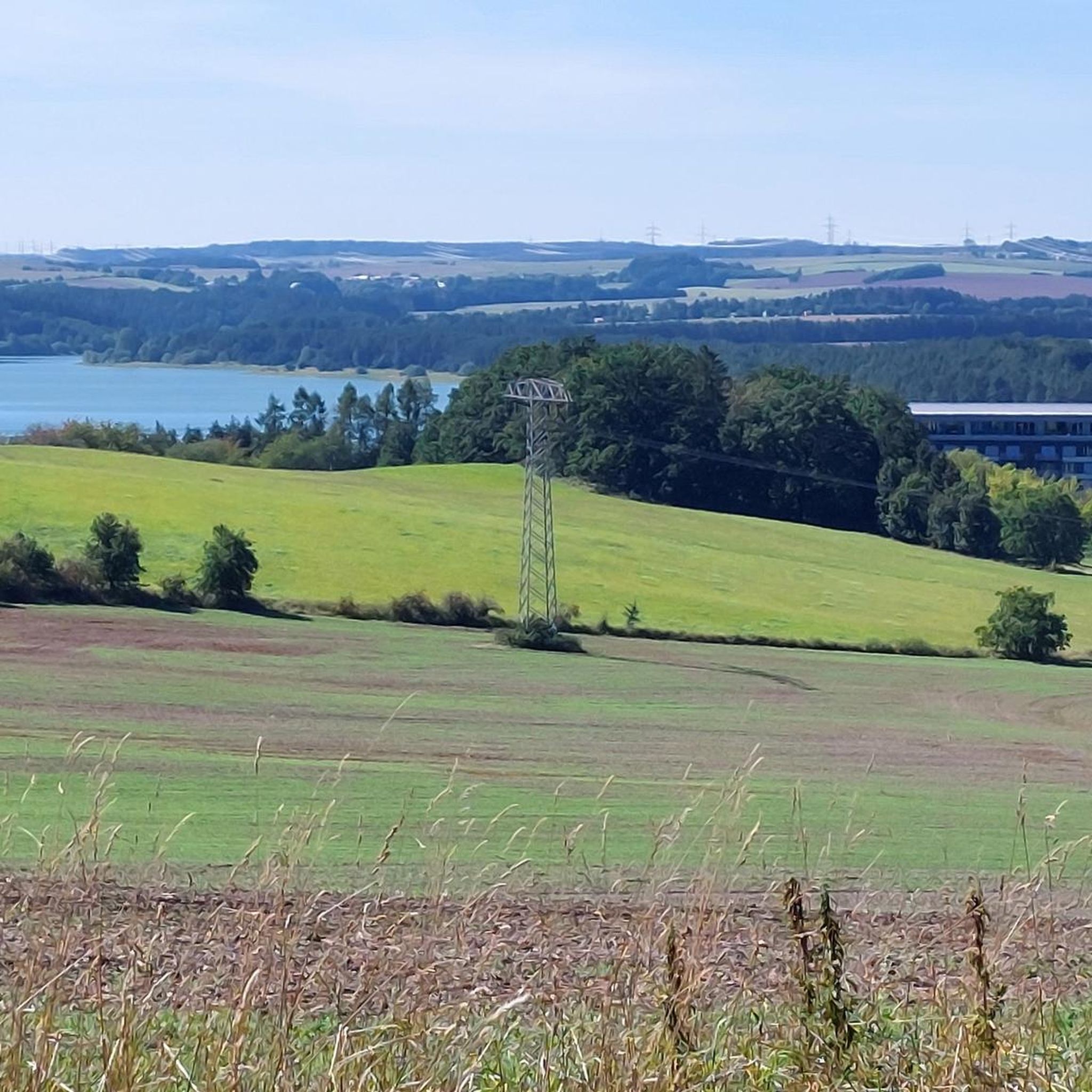
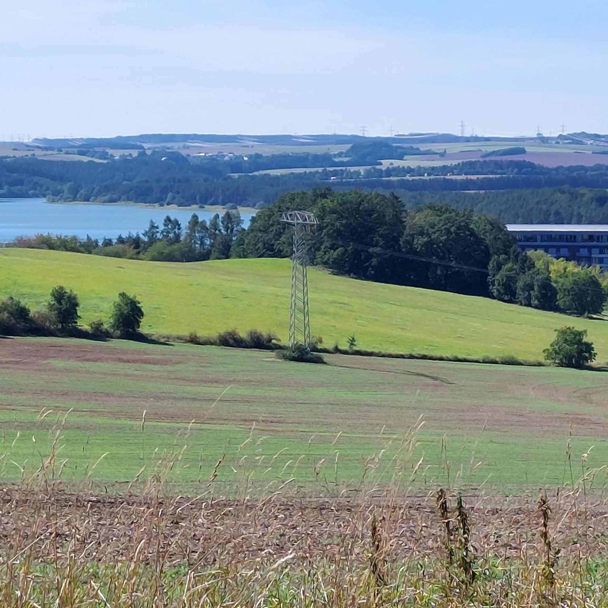
Tips from the Community

The Pöllwitzer Wald – one of the largest contiguous forest areas in the region – extends in the surroundings of the municipality of Pöllwitz, which is today a district of the town of Zeulenroda-Triebes. The forest area is of great importance for nature-based tourism and local recreation in the Vogtland. Parts of the area are designated as an FFH protected area and are therefore subject to usage restrictions. The FFH area was reported to the EU in 2000 and has an area of 962 ha. https://www.zeulenroda-triebes.de/seite/566312/moorlehrpfad-p%C3%B6llwitzer-wald.html
0
0

Pick up stamp and do Kneipp therapy. Ideal in warm weather
0
0

There are some beautiful things to actively discover along the panoramic trail at Zeulenrodaer Meer 😊.
17
0
A lakeside stage overlooking the Zeulenroda reservoir. Events take place here several times a year.
16
0
Very nicely designed information point, especially for the kids.
8
0
A beautiful stilt house on the pond in Plothen 🤩.
17
0

Soak up the sun and enjoy the beauty of the landscape.
0
0

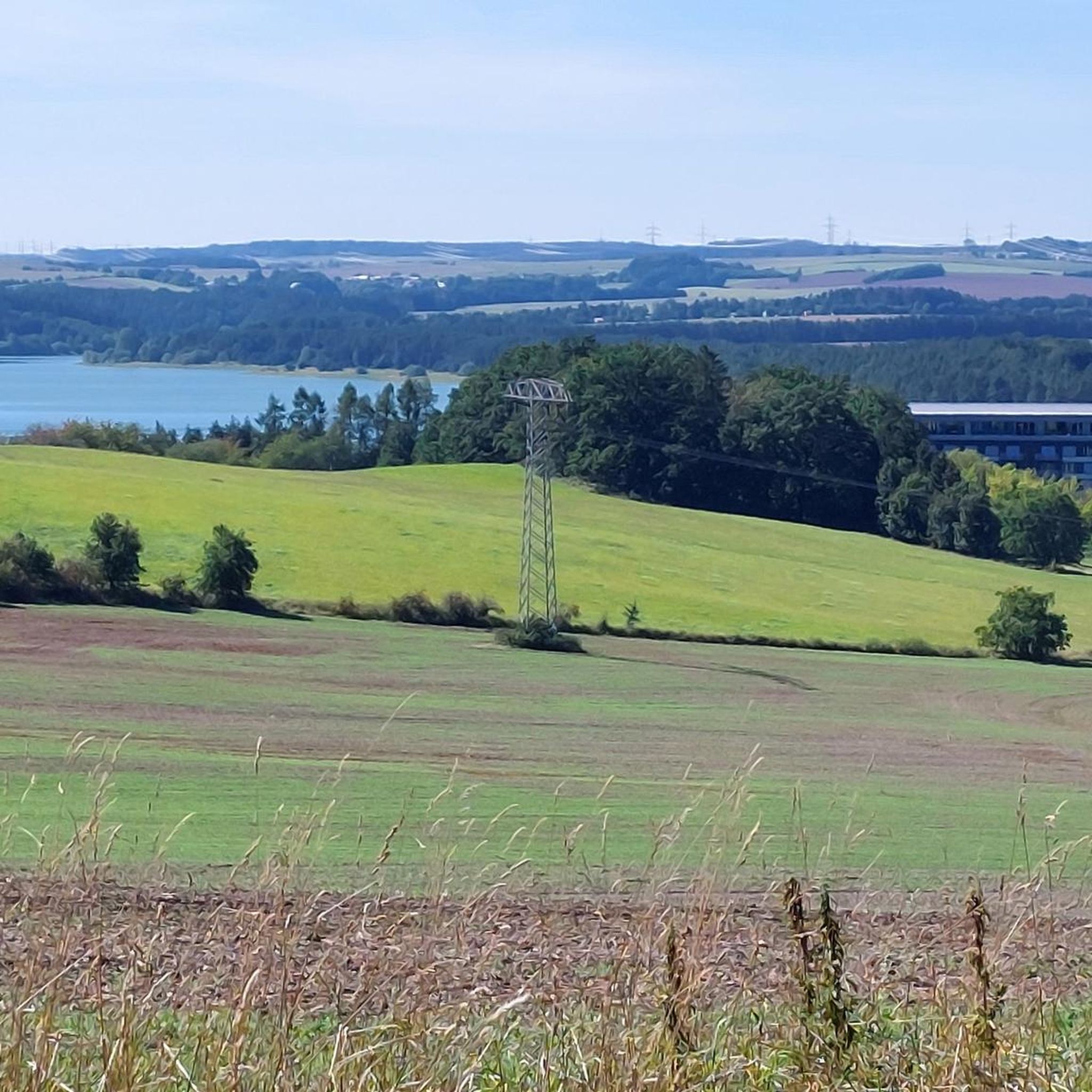
This is not Pirk, but the Zeulenroda Dam
1
0
Frequently Asked Questions
How many gravel bike trails are there in Weißendorf?
Weißendorf offers nearly 20 gravel bike trails, providing a diverse range of options for gravel cyclists.
What are the difficulty levels of gravel bike trails in Weißendorf?
The gravel bike trails around Weißendorf range from moderate to difficult. There are 11 moderate routes and 8 difficult ones, ensuring options for experienced riders looking for a challenge.
Are there any beginner-friendly gravel bike trails in Weißendorf?
While there are no trails specifically graded as 'easy', many of the 'moderate' routes can be suitable for beginners with some gravel biking experience. These trails often feature rolling terrain and connect local points of interest.
What is the typical distance for gravel bike routes near Weißendorf?
Gravel bike routes in the Weißendorf area vary in distance. For example, the Brückentelefon Bridge – Wooden Swing Shelter Rest Area loop from Weißendorf is about 24.6 km, while the Schöne Höhe Observation Tower – Wooden Swing Shelter Rest Area loop from Triebes extends to 44.4 km.
What can I see along the gravel bike trails in Weißendorf?
Many gravel trails in Weißendorf pass by interesting natural and man-made features. You might encounter bridges, observation towers, and various water bodies like the Weida Dam or the Auma Reservoir. The Wooden Swing Shelter Rest Area – Weida Dam loop from Zadelsdorf is a great example of a route featuring a dam.
Are there any loop gravel bike routes in Weißendorf?
Yes, many of the gravel bike trails in Weißendorf are designed as loops. Popular options include the Brückentelefon Bridge – Wooden Swing Shelter Rest Area loop from Weißendorf and the Fürstenteich with swans – Hausteichhaus Plothen loop from Auma.
What do other gravel bikers enjoy the most about gravel biking in Weißendorf?
The area is highly rated by the komoot community, with an average score of 3.7 stars. Reviewers often praise the diverse landscape, which includes a mix of rolling terrain, bridges, observation towers, and natural water bodies like ponds and dams.
Are there any scenic viewpoints along the gravel trails?
Yes, some routes offer scenic viewpoints. The Schöne Höhe Observation Tower – Wooden Swing Shelter Rest Area loop from Triebes specifically features an observation tower, providing varied scenery and potential panoramic views. You might also find the Pöllwitzer Moor Observation Tower interesting.
Are there any routes that pass by lakes or reservoirs?
Absolutely. The region is known for its natural water bodies. The Wooden Swing Shelter Rest Area – Weida Dam loop from Zadelsdorf passes by the Weida Dam. Another route, the Pöllwitz Pond – At Röderberg Shelter loop from Triebes, takes you past Pöllwitz Pond.
What is the best time of year for gravel biking in Weißendorf?
The region's trails are generally enjoyable from spring through autumn, offering pleasant temperatures and vibrant scenery. While some trails may be accessible in winter, conditions can vary, so it's always best to check local weather and trail reports.
Are there any routes that offer a good mix of nature and local points of interest?
Many routes in Weißendorf are designed to connect natural beauty with local landmarks. For instance, the Fürstenteich with swans – Hausteichhaus Plothen loop from Auma combines natural ponds with local points of interest, offering a varied experience.
Most popular attractions around Weißendorf

Get inspired with the komoot mobile app


Explore more
Browse the best Gravel rides in other regions.
