The best gravel rides around Gammertingen
3.9
(24)
136
riders
47
rides
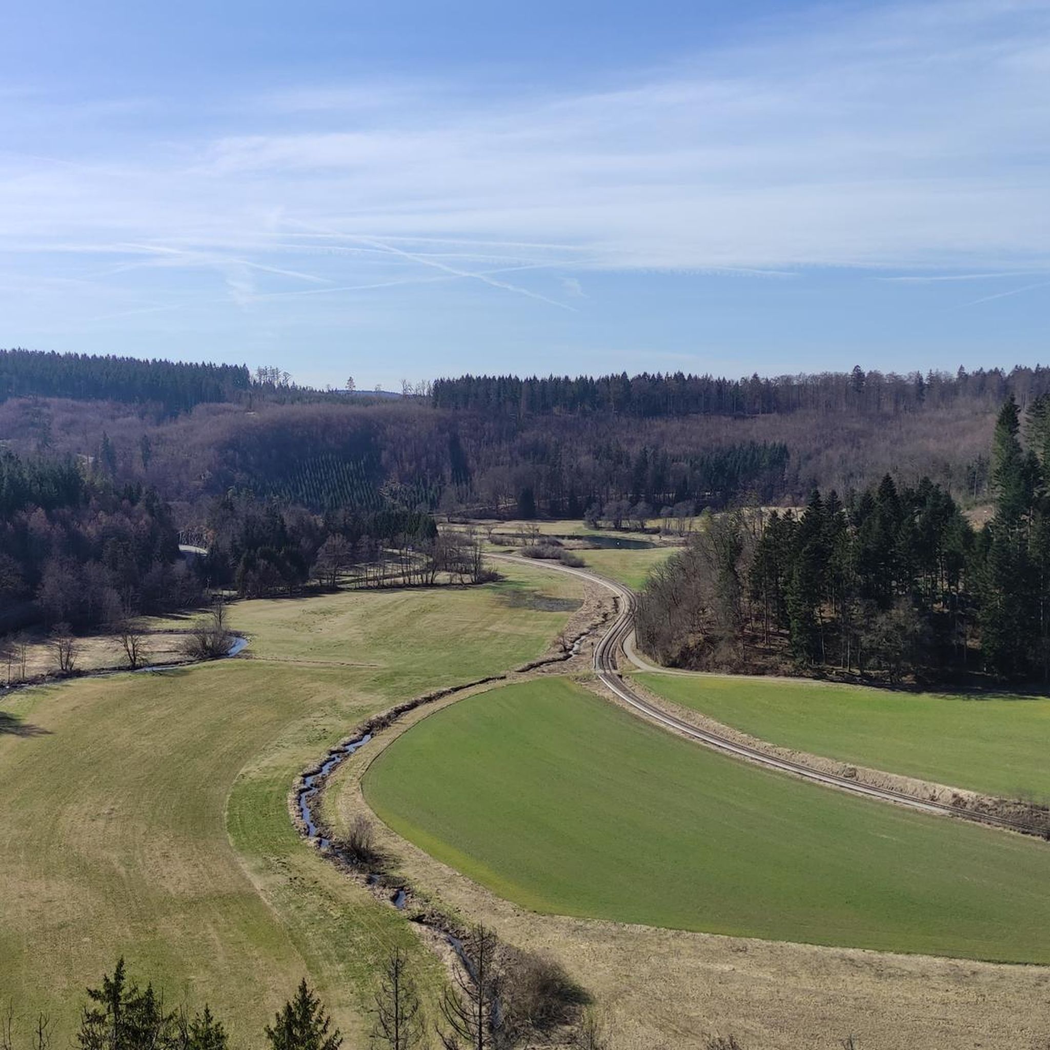
Gravel biking around Gammertingen offers diverse landscapes across the Swabian Jura, characterized by rolling hills, dense forests, and the picturesque Lauchert river valley. The region is part of the Swabian Alb, featuring unique karst landscapes and varied terrain. Riders can explore routes along the Lauchert River, traversing green meadows and dense forests, or venture towards the Danube floodplains. Gravel bikers can expect a mix of well-maintained paths and sections with loose surfaces, providing a dynamic riding experience.
Best gravel bike…
Last updated: July 2, 2026
4.7
(3)
17
riders
Moderate gravel ride. Good fitness required. Mostly paved surfaces. Suitable for all skill levels.
3.0
(1)
5
riders
43.0km
02:38
430m
430m
Moderate gravel ride. Good fitness required. Mostly paved surfaces. Suitable for all skill levels.

Sign up for free
3.0
(1)
9
riders
38.7km
02:25
400m
400m
Moderate gravel ride. Good fitness required. Mostly paved surfaces. Suitable for all skill levels.
3
riders
36.5km
02:21
430m
430m
Moderate gravel ride. Good fitness required. Mostly paved surfaces. Suitable for all skill levels.
4.0
(1)
10
riders
29.0km
01:46
300m
300m
Moderate gravel ride. Good fitness required. Mostly paved surfaces. Suitable for all skill levels.
Get access to more routes and recommendations from other explorers.
Sign up for free
Already have an account?
Our route recommendations are based on thousands of hikes, rides, and runs completed by other people on komoot.
Start today with a free account
Your next adventure awaits.
Login or Signup
Popular around Gammertingen
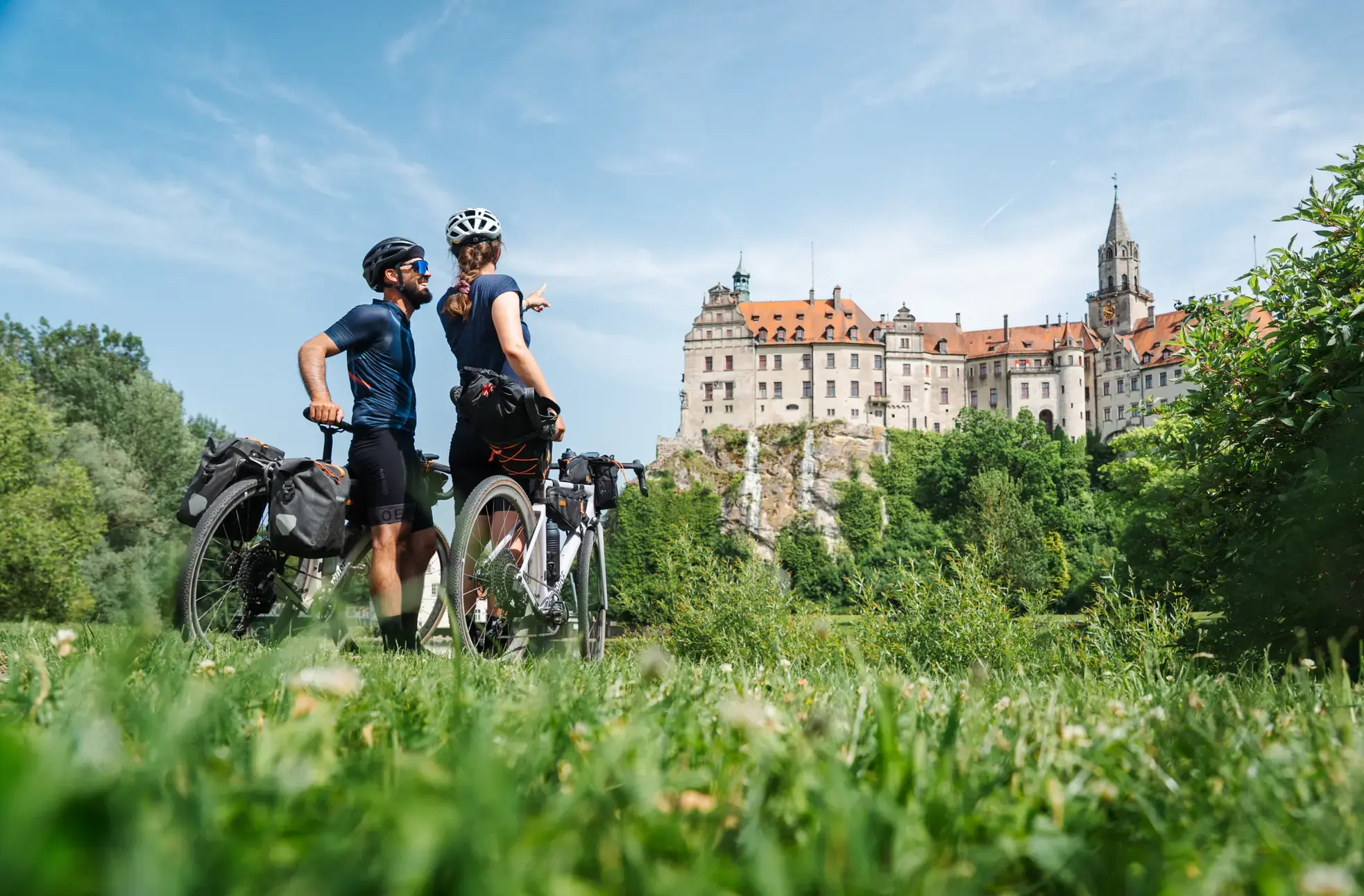
Castles, Alps and Lake Constance – gravel days on the Hohenzollern Cycle Route
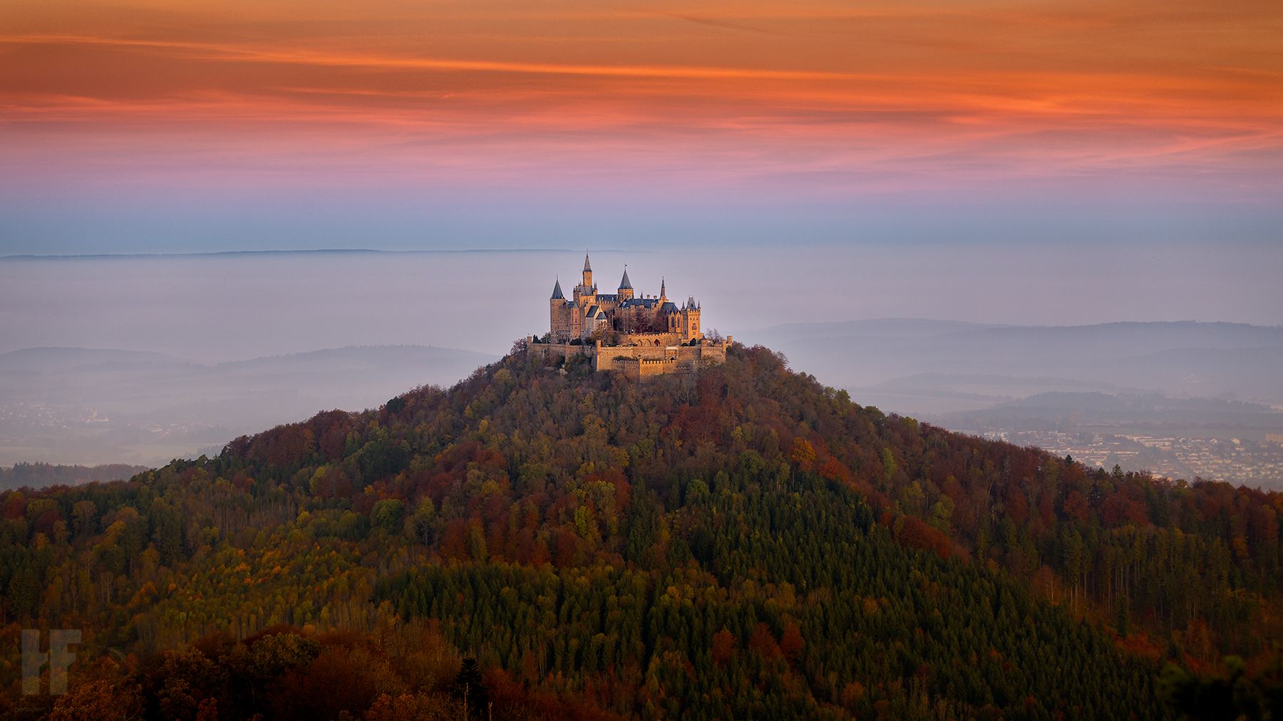
Hohenzollernweg – On the track of the knights, 7 stages
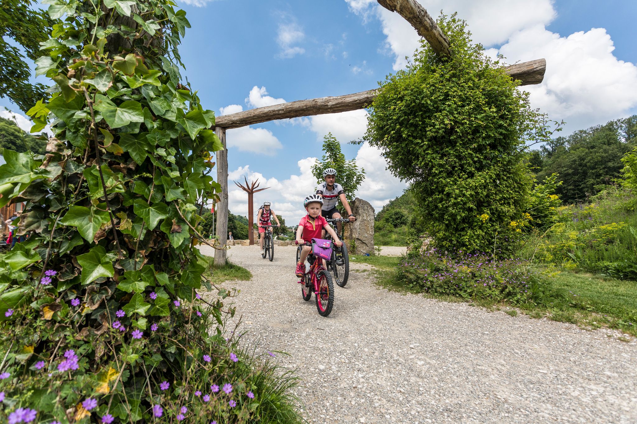
Family cycling – 9 day Tours in the Swabian Alb
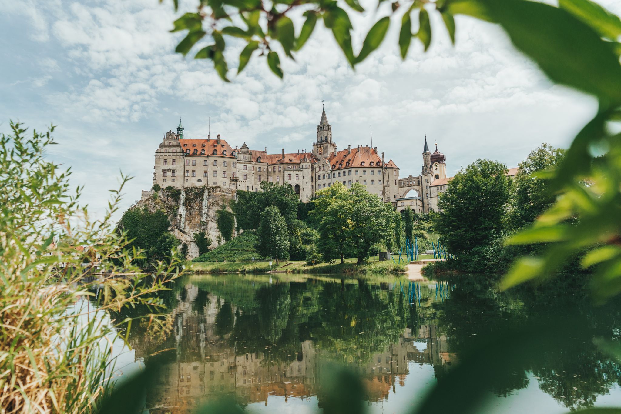
Germany’s Hohenzollern Cycle Path – 6 stages across the Swabian Alb
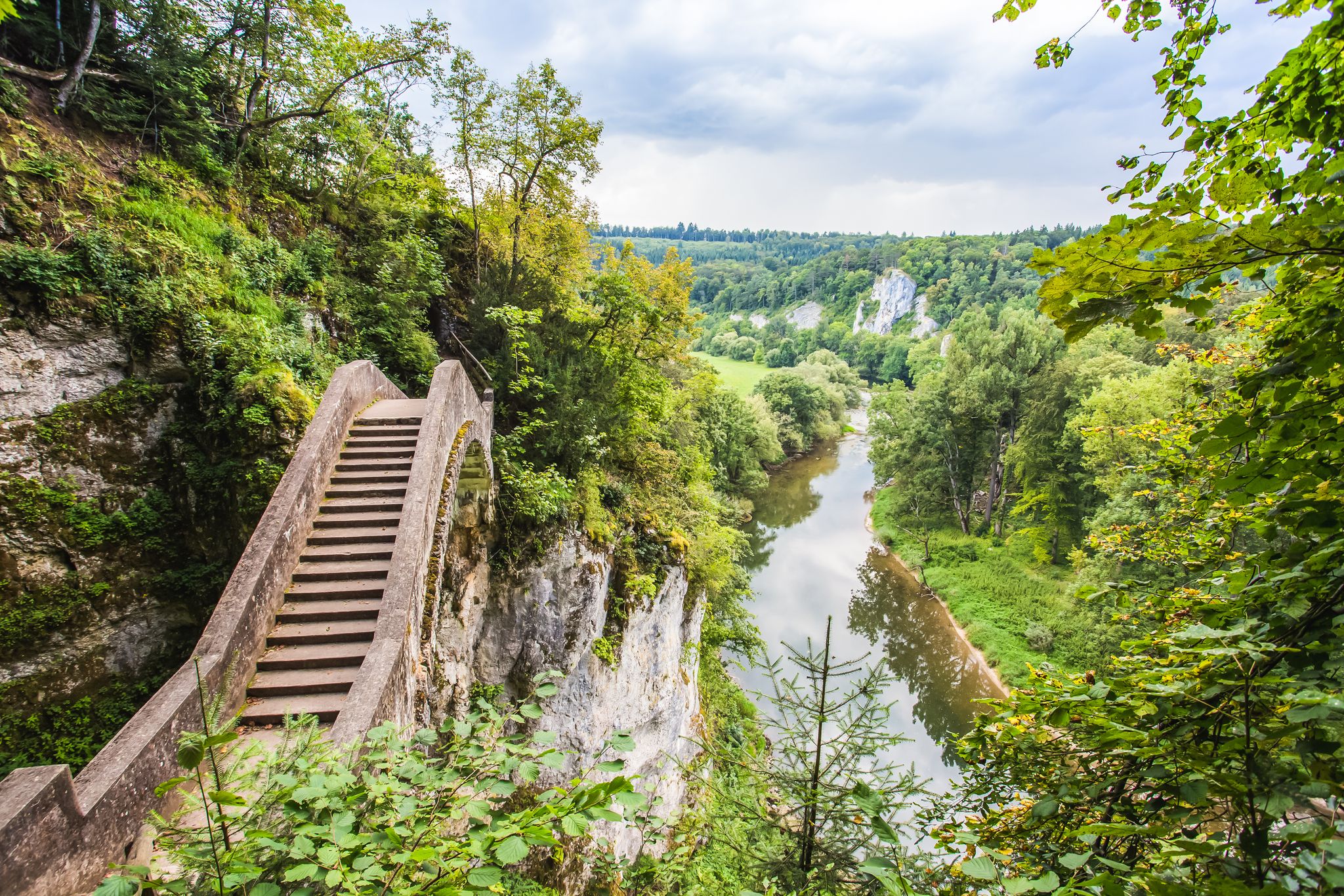
The Donau-Zollernalb-Weg in 10 stages – varied hikes through historic nature
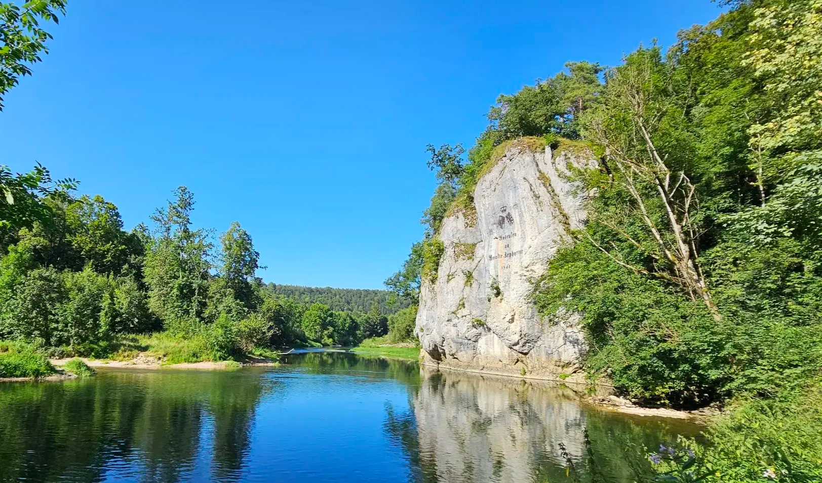
Aktiv in die längeren Tage – Frühlingswandern zwischen Alb und Donau
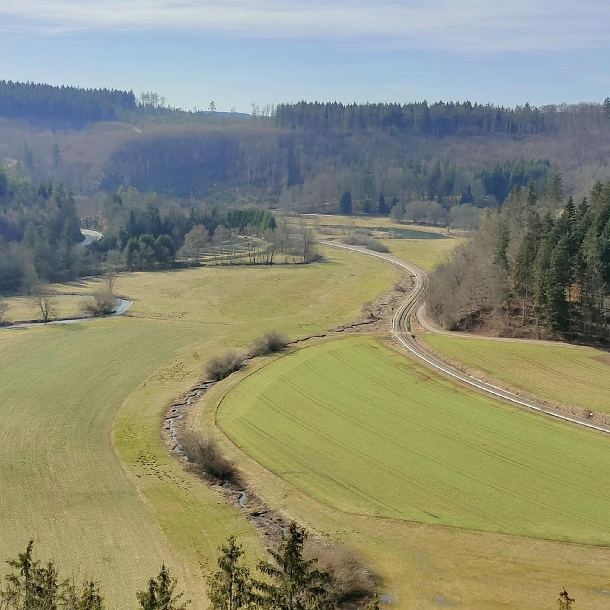
Cycling around Gammertingen
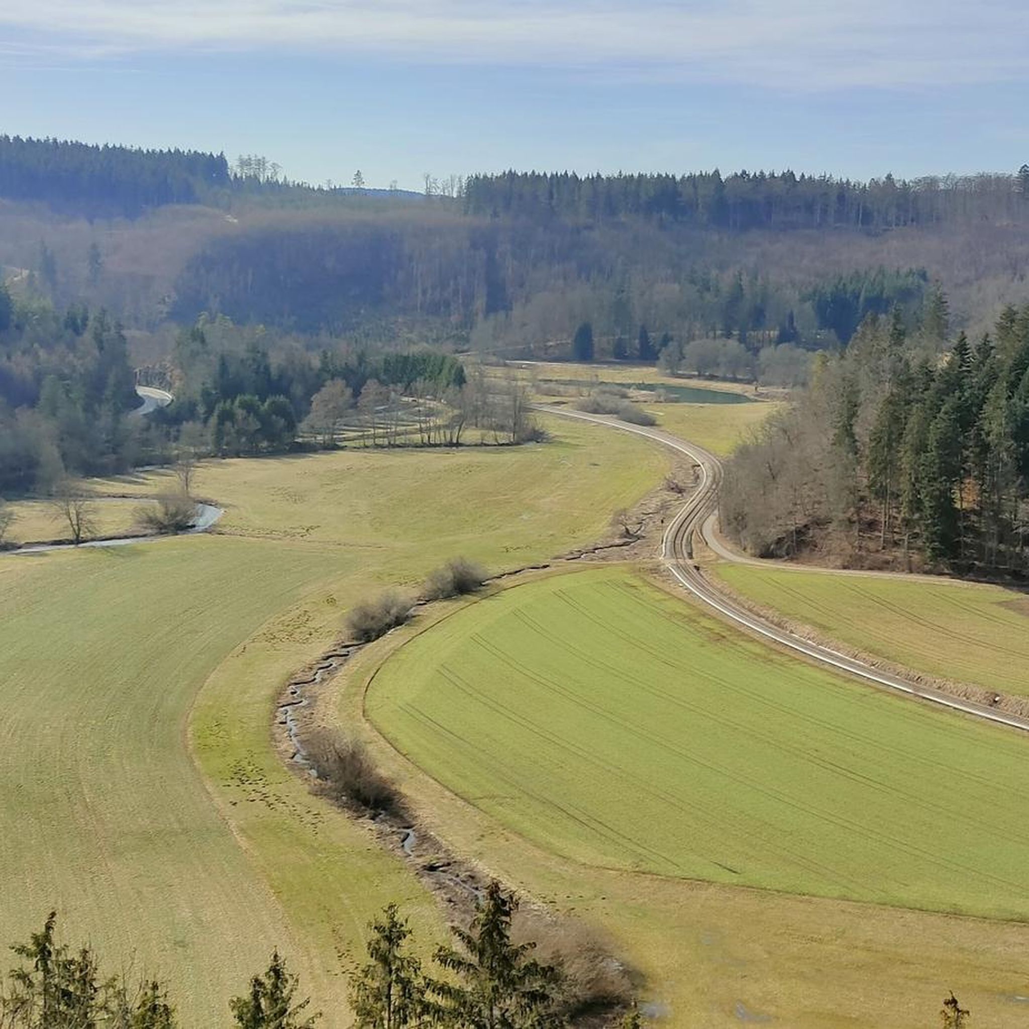
Hiking around Gammertingen
MTB Trails around Gammertingen

Running Trails around Gammertingen
Other adventures around Gammertingen


Tips from the Community

Better known as Dreifürstenstein
0
0

Former boundary stone. This indicates the hunting boundary.
2
0

View of the castle (town hall) from the main square
0
0

Beautiful boundary stone with inscription - Fehla Spring 🌊 - 720 m above sea level - Burladingen - Zollernalb district
0
0

A nice stop on the ascent from Burladingen to Hermannsdorf
0
0
Further along its course, the Fehla flows through a beautiful, unspoiled valley and empties into the Lauchert near Hermentingen.
0
0

Pure nature, lies on the tour
4
0

Located in the Fehlatal nature reserve
0
0
Frequently Asked Questions
How many gravel bike trails are available around Gammertingen?
Gammertingen offers a wide selection of gravel bike trails, with over 70 routes to explore. These trails traverse diverse landscapes, from river valleys to the heights of the Swabian Alb.
What kind of terrain can I expect on gravel bike trails near Gammertingen?
You'll encounter a varied topography around Gammertingen, characterized by rolling hills, dense forests, and picturesque river valleys, particularly along the Lauchert. The routes often feature a mix of well-maintained, predominantly paved paths and sections with loose surfaces, typical of the Swabian Alb's unique karst landscapes.
Are there challenging gravel bike routes in Gammertingen?
Yes, Gammertingen offers plenty of challenging options for experienced gravel bikers. Approximately half of the routes are rated as difficult. For instance, the Lauchert Valley – Lauchert Pond loop from Neuban is a difficult 23.7-mile (38.1 km) path with significant elevation. Another demanding ride is the Great Lauter Valley – Lautertal Valley loop from Mägerkingen, covering 76.9 km with over 850 meters of ascent.
Are there any waterfalls or lakes to see along the gravel bike routes?
Absolutely! Many routes incorporate natural water features. You can ride past the scenic Lauchert Lake, as seen on the Lauchert Lake (Mägerkingen) – Lauchert Pond loop from Gammertingen Europastraße. The Gieß Waterfall (Veringendorf) – Lauchert Valley loop from Gammertingen specifically leads you past the beautiful Small Waterfalls Near Wimsener Höhle and the Wimsener Cave, which is Germany's only active water cave navigable by boat.
What are some other interesting landmarks or points of interest near the gravel trails?
Beyond the natural beauty, the region offers several cultural and historical points of interest. You can explore the historic town of Gammertingen itself, known for its rich history. The Glastal Valley is another highlight, offering impressive gorges. For a unique experience, visit the Wimsener Cave, an active water cave you can explore by boat.
What do other gravel bikers enjoy most about gravel biking in Gammertingen?
The komoot community highly rates gravel biking in Gammertingen, with an average score of 4.2 stars from over 30 reviews. Riders frequently praise the diverse landscapes, the mix of well-maintained and challenging surfaces, and the scenic beauty of the Lauchert valley and Swabian Alb.
Are there any family-friendly gravel biking options in the area?
While many routes are moderate to difficult, the Lauchert valley itself offers gentler sections that can be suitable for families. Look for routes that stick to the valley floor, which tend to have less elevation gain and more paved or well-maintained paths. The Lauchert Lake area, for example, provides a pleasant spot to linger with a lawn and catering.
Can I find circular gravel bike routes around Gammertingen?
Yes, many of the gravel bike routes in Gammertingen are designed as loops, allowing you to start and end in the same location. Examples include the Lauchert Lake (Mägerkingen) – Lauchert Pond loop from Gammertingen Europastraße and the Gieß Waterfall (Veringendorf) – Lauchert Valley loop from Gammertingen.
What is the best time of year to go gravel biking in Gammertingen?
Gammertingen offers a beautiful gravel biking experience throughout much of the year. Spring brings vibrant blooms, summer provides pleasant temperatures, and autumn showcases a spectacular display of colors. While winter can be ridden, be prepared for potentially colder temperatures and some sections with snow or ice, especially on higher elevations of the Swabian Alb.
Are there places to eat or drink along the gravel bike trails?
Yes, you'll find opportunities to refuel. The Lauchert Lake, for instance, has a catering establishment. Additionally, the historic town of Gammertingen and other secluded villages you pass through often have local cafes or pubs where you can take a break.
Is there public transport available to reach the gravel bike trails in Gammertingen?
Gammertingen is connected by public transport, which can help you access various starting points for the trails. While specific bike transport options vary, regional buses and trains often allow bikes outside of peak hours. It's advisable to check local transport schedules and bike policies in advance for the most up-to-date information.
Where can I park my car when starting a gravel bike tour in Gammertingen?
Many of the gravel bike routes around Gammertingen start from accessible points within or near the town, where parking is generally available. For example, the Lauchert Lake (Mägerkingen) – Lauchert Pond loop starts from Gammertingen Europastraße, a common area for parking. Look for designated parking areas in Gammertingen or near trailheads in smaller villages.
Are there any specific natural reserves or protected areas I should be aware of?
Yes, the region is part of the Swabian Alb UNESCO Global Geopark. You'll find areas like the Fehlatal Nature Reserve, which is an idyllic area for hiking and cycling. When riding through such areas, please stick to marked paths and respect local regulations to protect the delicate ecosystems.
Most popular routes around Gammertingen
Most popular attractions around Gammertingen

Get inspired with the komoot mobile app


Explore more
Browse the best Gravel rides in other regions.
