The best gravel rides around Hilgermissen
4.1
(16)
65
riders
14
rides
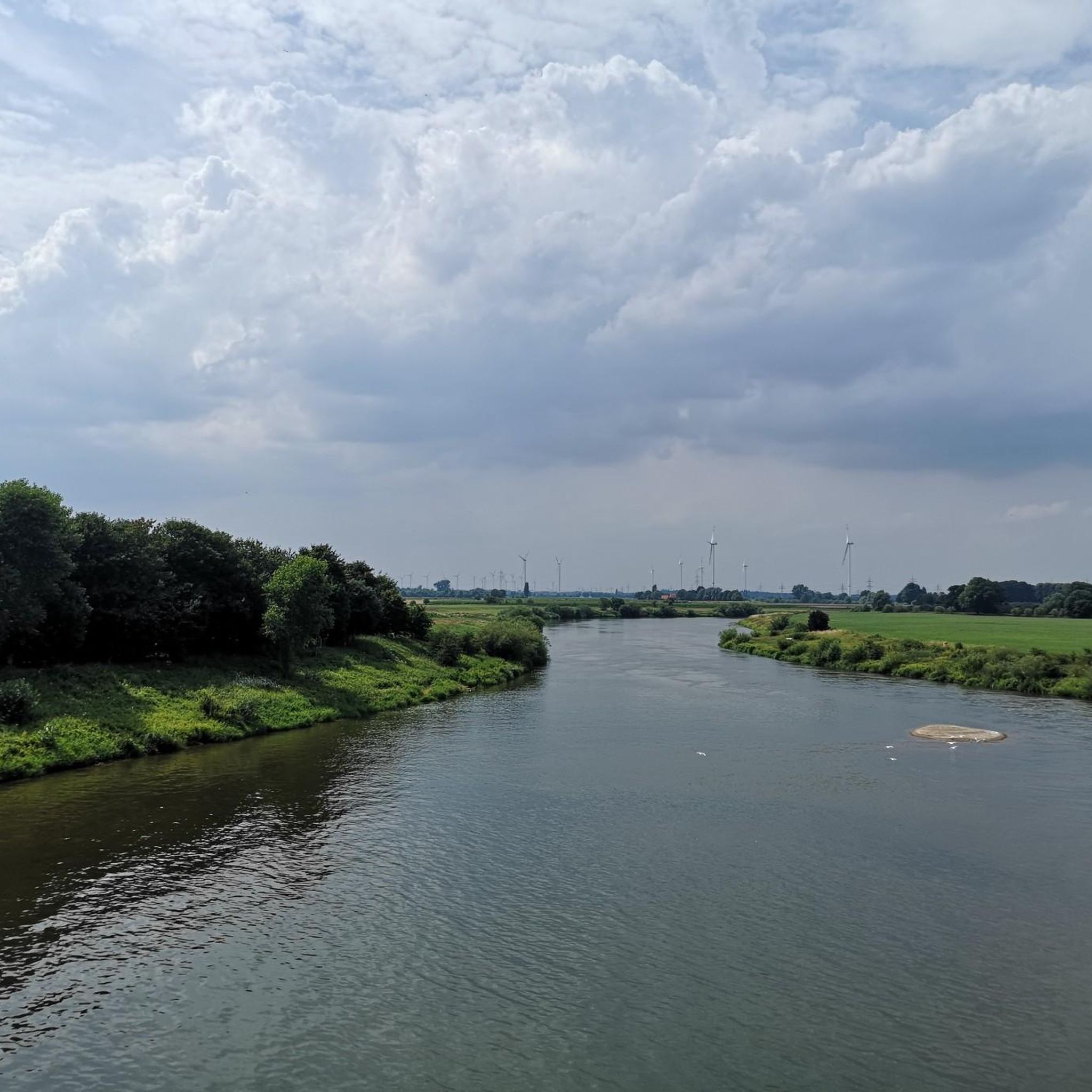
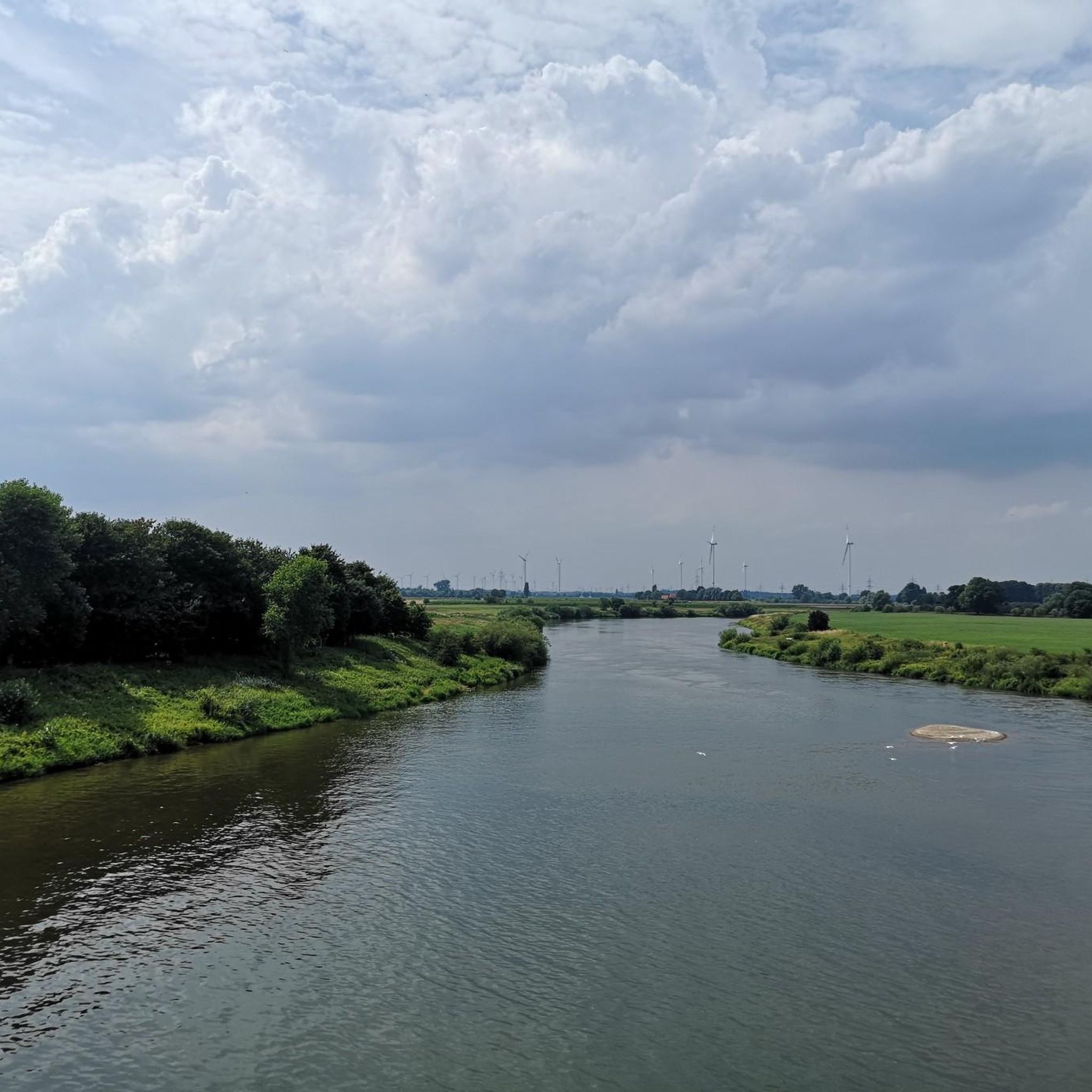
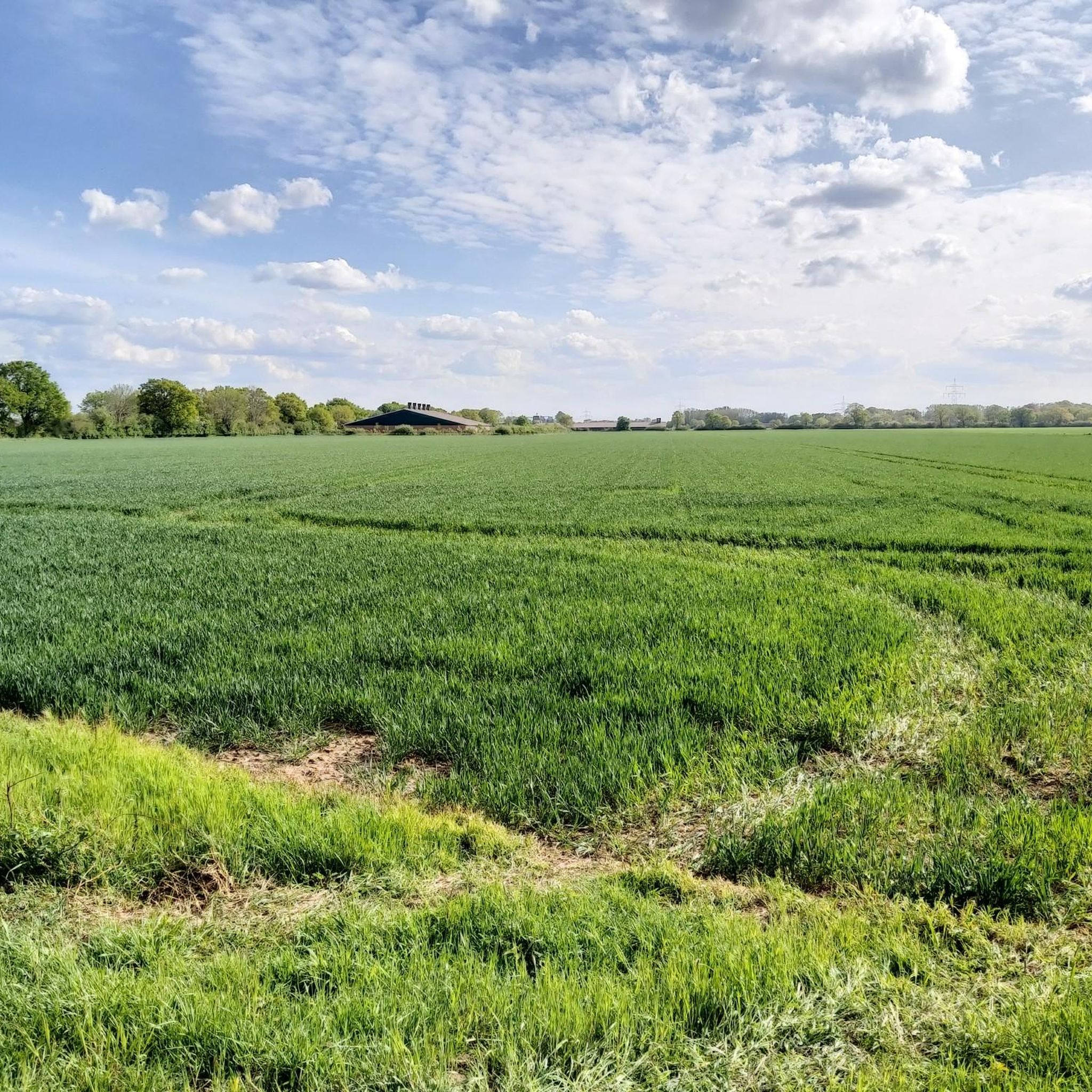
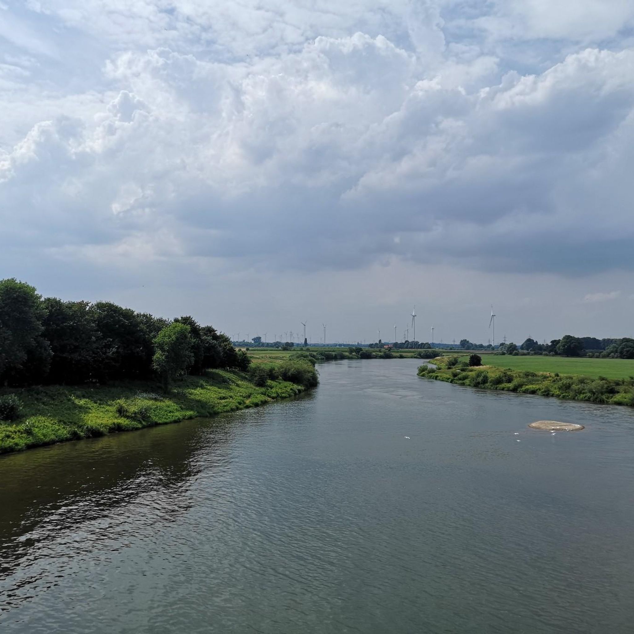
Gravel biking around Hilgermissen offers routes through a tranquil landscape characterized by flat terrain, meadows, fields, and the Weser River. The region, with an elevation of about 16 meters above sea level, provides extensive cycling infrastructure suitable for gravel bikes. Riders can expect to traverse agricultural land and riverside paths, with the Weser River and its floodplains being a prominent feature. This environment supports varied gravel bike trails for different skill levels.
Best gravel bike trails around Hilgermissen
- The most…
Last updated: July 16, 2026
5.0
(1)
13
riders
57.3km
03:10
140m
140m
Moderate gravel ride. Good fitness required. Mostly paved surfaces. Suitable for all skill levels.
4.5
(2)
6
riders
Moderate gravel ride. Good fitness required. Mostly paved surfaces. Suitable for all skill levels.

Sign up for free
3.0
(3)
7
riders
38.9km
02:26
170m
170m
Moderate gravel ride. Good fitness required. Mostly paved surfaces. Suitable for all skill levels.
5.0
(2)
7
riders
44.8km
02:49
150m
150m
Moderate gravel ride. Good fitness required. Mostly paved surfaces. Suitable for all skill levels.
3
riders
Moderate gravel ride. Good fitness required. Mostly paved surfaces. Suitable for all skill levels.
Get access to more routes and recommendations from other explorers.
Sign up for free
Already have an account?
Our route recommendations are based on thousands of hikes, rides, and runs completed by other people on komoot.
Start today with a free account
Your next adventure awaits.
Login or Signup
Tips from the Community

The Hache is a smaller river in Lower Saxony, Germany. Here are the key facts about the Hache: Course: It flows through the district of Diepholz and crosses, among others, the town of Syke. In the Kirchweyher See, it joins the Süstedter Bach and flows from there as the Ochtum further towards Bremen. Ecology: The Hache is considered ecologically passable, which has been confirmed by investigations by the district government of Hanover. Renaturation: There are measures for river renaturation to improve the stream course. Fish population: Brook and river lampreys occur in the Hache, as do sea trout, eels, salmon, and burbot. Nature conservation: Parts of the course are protected by the FFH area "Untere Delme, Hache, Ochtum und Varreler Bäke". Association: The maintenance association Hache und Hombach is responsible for the stream.
2
0


Beautiful lake is also good for hiking
0
0
If you're into old mechanics and weirs like I am, then it's definitely worth it. However, the thing is as worn out as can be. If it isn't renovated soon, the whole thing will collapse.
0
0

Nice corner with a shady bench in the tranquil village of Stellichte.
0
0
Shady spot for a snack while hiking or cycling in a quiet corner.
0
0

Beautiful signpost at the Königshof.
0
0

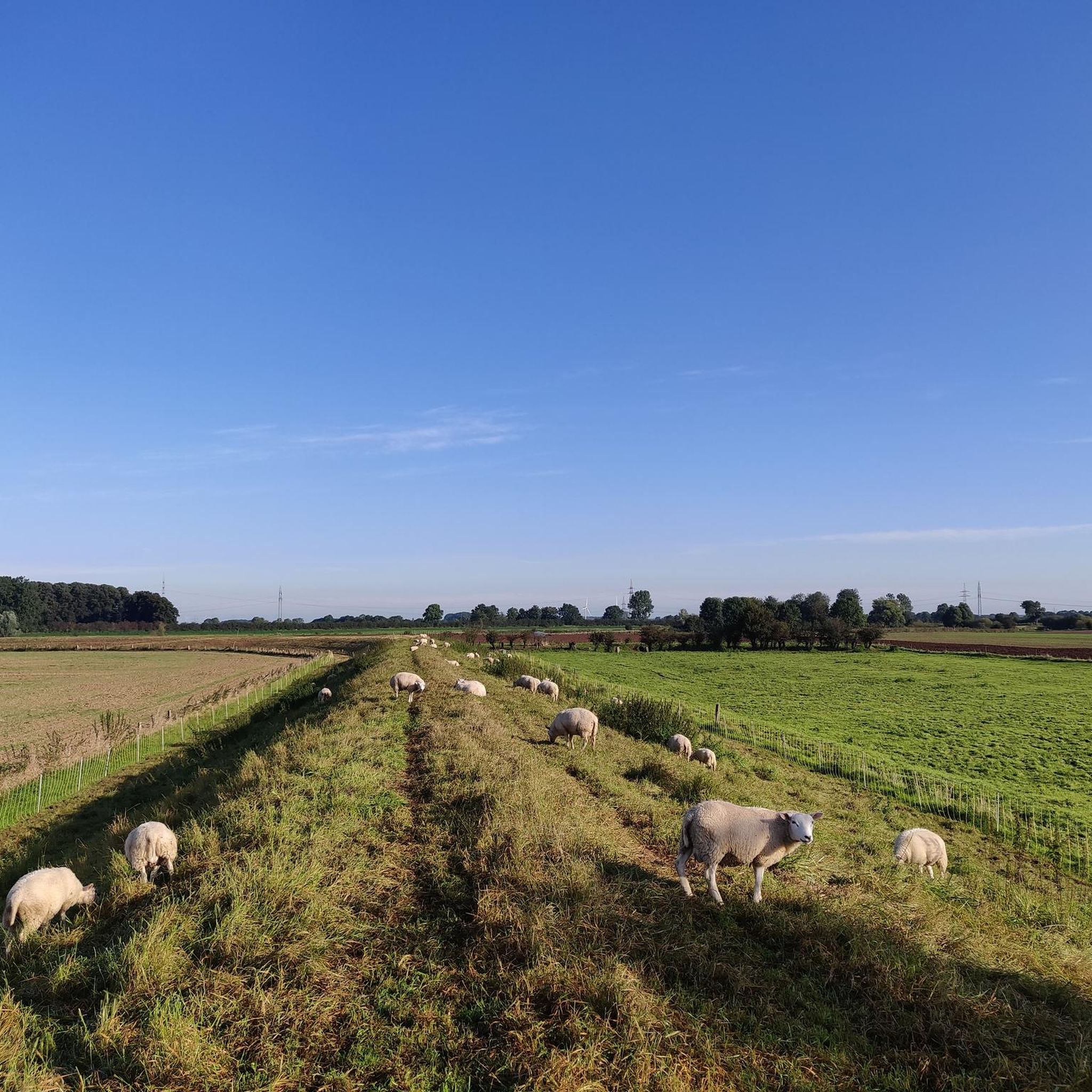
You can cross the Wümme on the dam and enjoy great views of the river landscape.
1
0
Frequently Asked Questions
How many gravel bike trails are available in Hilgermissen?
Hilgermissen offers a good selection of gravel bike trails, with over 25 routes available for exploration. These routes cater to various skill levels, from easy to difficult.
What are the typical difficulty levels for gravel biking in Hilgermissen?
The gravel bike trails in Hilgermissen range from easy to difficult. You'll find 8 easy routes, 15 moderate routes, and 2 more challenging options, ensuring there's something for every skill level.
Are there any easy or family-friendly gravel bike routes in Hilgermissen?
Yes, Hilgermissen has 8 easy gravel bike routes, making it suitable for families or those looking for a relaxed ride. These routes typically feature flat terrain through meadows and fields, ideal for a less strenuous outing. An example of an easy route is the Etelsen Castle Park – View of the Weser loop from Langwedel.
Can I find circular gravel bike routes in the area?
Many of the gravel bike routes in Hilgermissen are designed as loops, allowing you to start and end at the same point. For instance, the popular Dorfladen Otersen – Lehrde Bridge loop from Verden (Aller) and the Great Bullensee – View of Großer Bullensee loop from Langwedel are both circular routes.
What kind of landscapes can I expect to see on gravel bike trails around Hilgermissen?
Gravel biking in Hilgermissen offers a tranquil and idyllic landscape. You'll primarily traverse flat terrain, passing through extensive meadows, agricultural fields, and along the picturesque Weser River and its floodplains. The region's proximity to the Steinhuder Meer Nature Park also contributes to its scenic appeal.
Are there any interesting sights or attractions along the gravel routes?
Yes, several routes offer interesting sights. You can find viewpoints like the View of Verden and the Aller Meadows. The area also features natural monuments such as the Verdener Dunes and the Geographical Center of Lower Saxony. Additionally, you might encounter historical sites and traditional villages, adding cultural interest to your ride.
What is the best time of year to go gravel biking in Hilgermissen?
The flat terrain and diverse landscapes of Hilgermissen make it suitable for gravel biking through much of the year. Spring and autumn offer pleasant temperatures and beautiful scenery, while summer provides longer daylight hours. Even in winter, the generally flat paths can be enjoyable, though conditions may vary.
What are the conditions like for gravel biking in Hilgermissen during winter?
During winter, the flat terrain around Hilgermissen can still be ridden, but conditions may include colder temperatures, potential for frost or ice, and muddy sections on unpaved paths, especially after rain or snowmelt. It's advisable to check local weather forecasts and trail conditions before heading out and to dress appropriately for the cold.
Where can I park my car when going gravel biking in Hilgermissen?
While specific parking areas for each route are not detailed, many gravel routes around Hilgermissen start from towns or villages like Verden (Aller) or Langwedel, where public parking facilities are generally available. Look for designated parking near trailheads or in village centers.
What do other gravel bikers say about the trails in Hilgermissen?
The gravel biking routes in Hilgermissen are highly regarded by the komoot community, with an average rating of 4.07 stars from over 19 reviews. Riders often praise the tranquil rural landscape, the well-developed cycling infrastructure, and the scenic paths along the Weser River.
Are there any routes that cross the Weser River?
Yes, the Weser River is a prominent feature of the region, and some routes incorporate crossings. A unique experience is the cable ferry at Schweringen, which allows cyclists to cross the river. The Weser Bridge in Hoya also provides another crossing point, integrating well into longer rides.
What are some longer gravel routes for more experienced riders?
For experienced riders looking for longer routes, Hilgermissen offers several options. The Great Bullensee – View of Großer Bullensee loop from Langwedel is a moderate 30.4 miles (49.0 km) path, and the Heritage Railway near Groß – Forest Lake loop from Bruchhausen-Vilsen covers 39.2 miles (39.2 km), providing a good challenge.
Are there any routes that explore historical sites or villages?
Yes, the region around Hilgermissen is dotted with historical sites and charming villages. The 'Grafen-Ring' cycle path, for example, takes cyclists through idyllic village structures and past historic churches. While not a specific route in our guide, many local gravel paths will lead you through areas rich in cultural heritage.
Most popular routes around Hilgermissen
Most popular attractions around Hilgermissen

Get inspired with the komoot mobile app


Explore more
Browse the best Gravel rides in other regions.
