The best gravel rides around Fehrbellin
4.6
(14)
78
riders
9
rides
Gravel biking around Fehrbellin offers diverse terrain, including forests, lakes, and low-lying hills. The region features a network of paved roads, former agricultural paths, and field trails suitable for gravel bikes. Notable natural features include the Rhinluch Nature Park, Königshorst Forest, and the extensive Ruppiner See. This varied landscape provides options for different gravel biking experiences.
Best gravel bike trails around Fehrbellin
- The most popular gravel bike trail is Alt Ruppin Lock – Kalksee loop from Wustrau-Radensleben, a 46.4…
Last updated: October 19, 2026
5.0
(1)
21
riders
71.4km
04:34
390m
390m
Hard gravel ride. Good fitness required. You may need to push your bike for some segments of this route.
5.0
(5)
31
riders
Moderate gravel ride. Good fitness required. Mostly paved surfaces. Suitable for all skill levels.

4.5
(2)
9
riders
34.1km
02:13
190m
190m
Moderate gravel ride. Good fitness required. Mostly paved surfaces. Suitable for all skill levels.
4.5
(2)
6
riders
Moderate gravel ride. Good fitness required. Mostly paved surfaces. Suitable for all skill levels.
4.0
(4)
11
riders
23.2km
01:24
90m
90m
Easy gravel ride. Great for any fitness level. Mostly paved surfaces. Suitable for all skill levels.
Get access to more routes and recommendations from other explorers.
Already have an account?
Our route recommendations are based on thousands of hikes, rides, and runs completed by other people on komoot.
Start today with a free account
Your next adventure awaits.
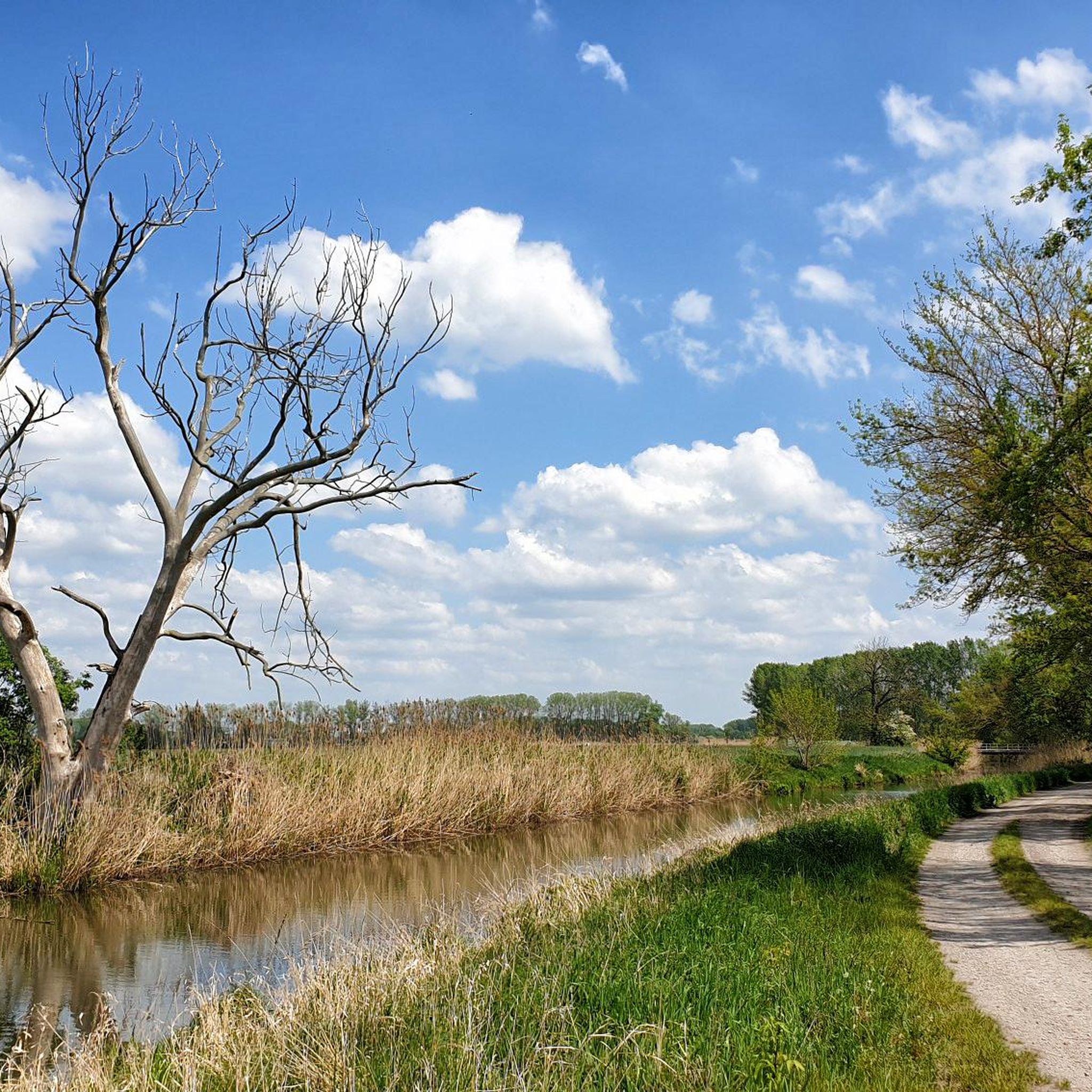
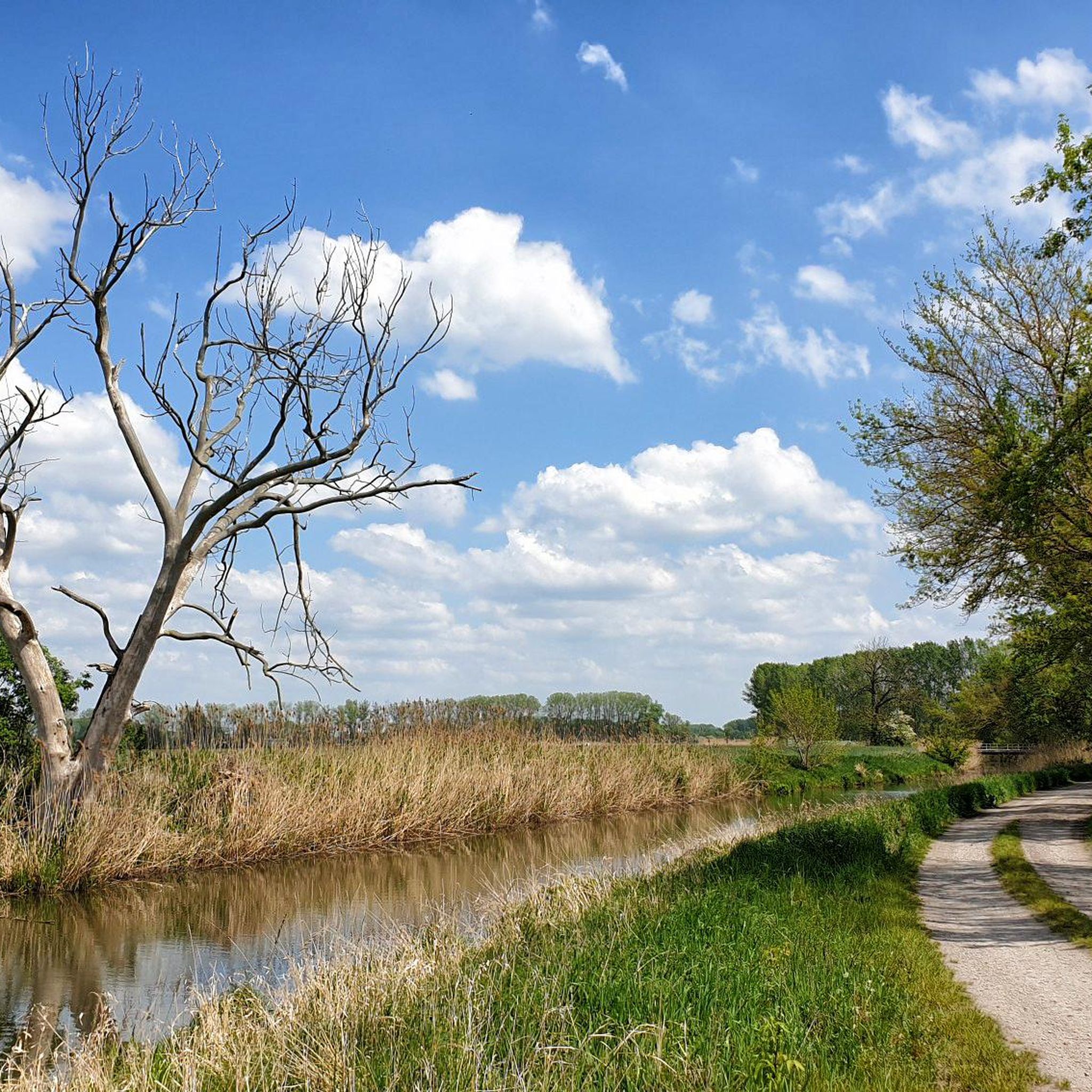
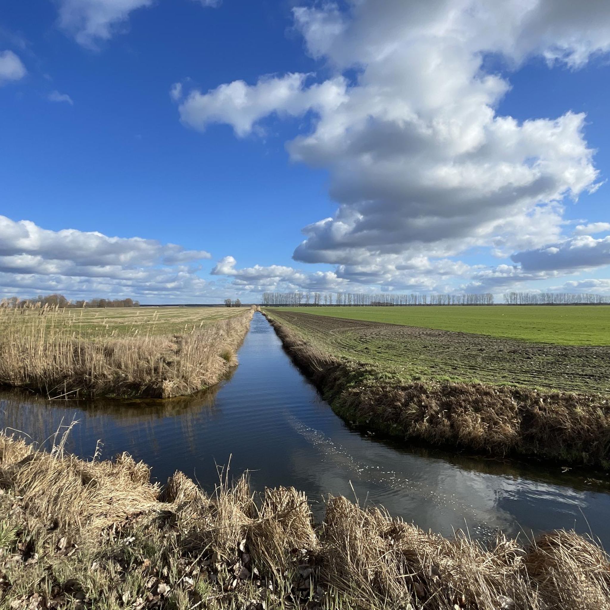
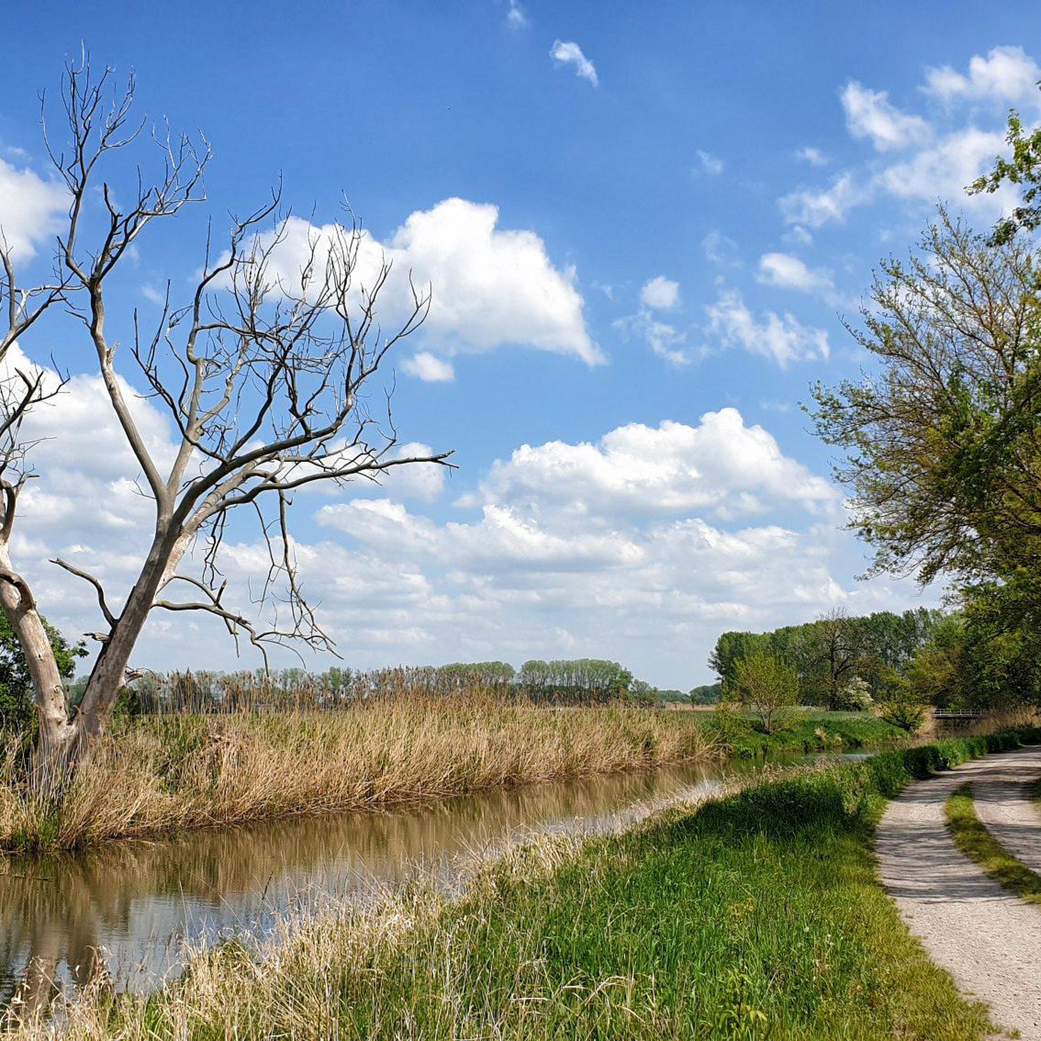


Tips from the Community

In the tower there is a small, informative and nicely illustrated exhibition on the history of the Kyritz-Ruppiner Heide and the protest against the Bombodrom.
0
0

A really nice section on the tour 👍
0
0

Great cycle path. Nicely wide and with a good surface.
0
0

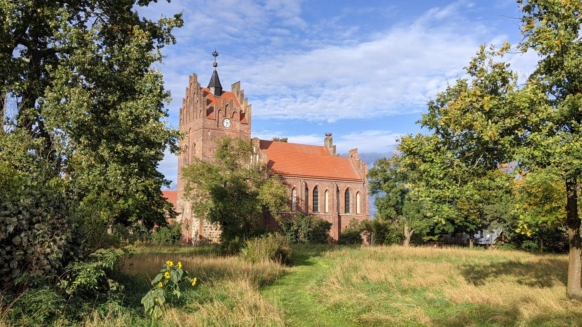
A touch of the Orient in Brandenburg. But unfortunately, only a lost place anymore.
0
0

The building with the towers is the granary, and the Moorish-style building constructed around 1861 is the manor house. For 30 years, the property changed hands frequently, and the buildings were left to decay; only since 2024 have they been somewhat secured. Current information can be found at https://gut-gentzrode.de/
0
0


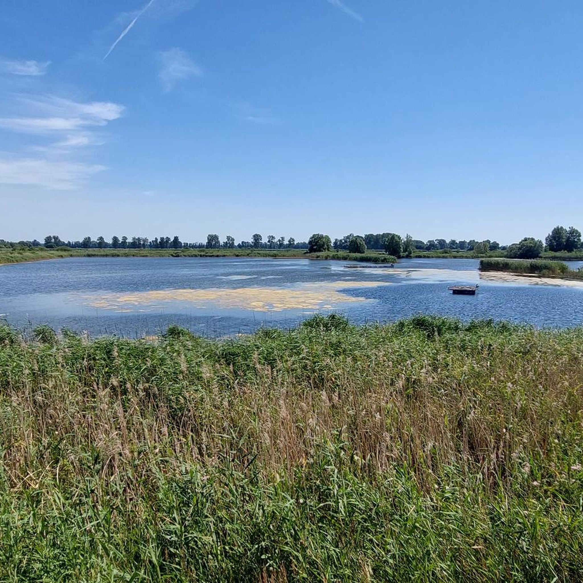
The hiking and mountain bike trail around Lake Tornow is undoubtedly one of the most beautiful in Ruppiner Schweiz. The 132-hectare lake is located in the middle of a nature and landscape conservation area.
0
0

This is the way to Lake Molchow. A quiet body of water with some lovely swimming spots.
3
0
Frequently Asked Questions
How many gravel bike trails are available around Fehrbellin?
There are over 14 gravel bike trails recorded in the Fehrbellin area on komoot, offering a variety of experiences for different skill levels. These include 3 easy, 8 moderate, and 3 difficult routes.
What kind of terrain can I expect on gravel bike trails in Fehrbellin?
The Fehrbellin region offers diverse terrain, including paved roads, former agricultural paths, and field trails. You'll encounter a mix of firm surfaces and some challenging loose ground sections, especially through areas like the Rhinluch Nature Park and Königshorst Forest. The landscape features forests, lakes, and low-lying hills, providing varied gravel biking experiences.
Are there family-friendly gravel biking options in the Fehrbellin area?
Yes, Fehrbellin offers routes suitable for various ability levels, including easier paths that can be enjoyed with family. While specific 'family-friendly' designations aren't always explicit, routes with predominantly firm surfaces and less elevation gain would be ideal. Always check the route details for distance and elevation before heading out with children.
What are some notable natural features or landmarks I can see while gravel biking near Fehrbellin?
Many routes will take you through the unique Rhinluch Nature Park, known for its wetlands and diverse wildlife. You might also pass by the extensive Ruppiner See, offering scenic views, or through Königshorst Forest with its ancient beech stands. Other points of interest include the Altfriesack Drawbridge and Canal Lock, and the Ruppiner Lake near Treskow.
Are there any circular gravel bike routes available in Fehrbellin?
Yes, many of the gravel bike routes around Fehrbellin are designed as loops. For example, the Kalksee – Bolten Mill loop from Neuruppin Rheinsberger Tor is a moderate 22.0-mile (35.4 km) path, and the Alt Ruppin Lock – View of the Rhin River loop from Neuruppin Rheinsberger Tor is a 26.4-mile (42.5 km) trail that takes you through the Rhin river area.
What do other gravel bikers enjoy most about the trails in Fehrbellin?
The gravel bike routes in Fehrbellin are highly rated by the komoot community, with an average score of 4.8 stars from over 13 reviews. Users often praise the varied terrain, the scenic beauty of the Rhinluch Nature Park and Ruppiner See, and the network of paths that cater to different skill levels.
Can I bring my dog on the gravel bike trails around Fehrbellin?
Generally, dogs are welcome on trails in natural areas like Fehrbellin, especially if kept on a leash. However, specific regulations can vary within nature parks or protected areas. It's always advisable to check local signage or park rules, particularly in sensitive areas like the Rhinluch Nature Park or near the Linum Ponds, which are significant bird habitats.
What is the best time of year for gravel biking in Fehrbellin?
Spring and autumn are often considered the best seasons for gravel biking in Fehrbellin. In spring, the landscape comes alive, and in autumn, the Königshorst Forest offers beautiful colors. These seasons typically provide pleasant temperatures and less extreme weather conditions than summer or winter. However, the region's diverse paths can be enjoyed year-round, with appropriate gear.
Are there any places to eat or stay near the gravel biking routes in Fehrbellin?
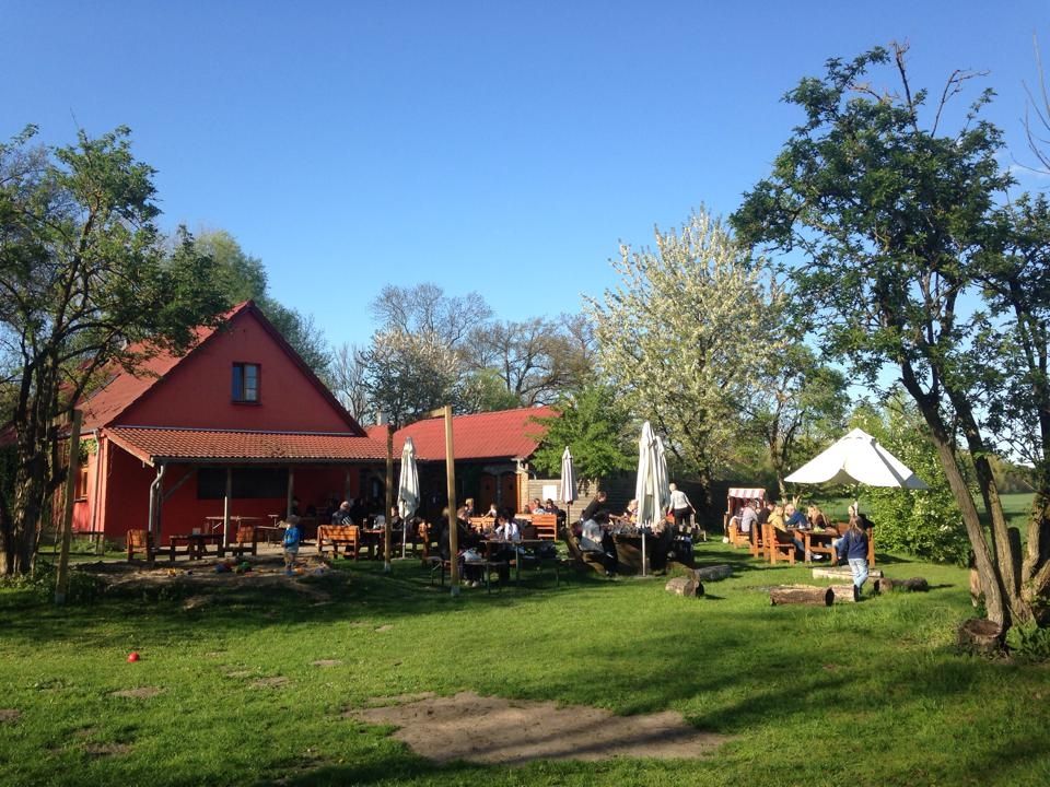
Fehrbellin and nearby towns offer various options for refreshments and accommodation. The village of Ribbeck, for instance, has cafes and beer gardens. While specific cafes directly on every trail are not guaranteed, you'll find places to refuel in the villages and towns along or near the routes. It's a good idea to plan your stops in advance.
Are there any longer, more challenging gravel routes for experienced riders?
Yes, for experienced riders looking for a challenge, routes like the Alt Ruppin Lock – Kalksee loop from Wustrau-Radensleben offer a more demanding experience. This route is 46.4 miles (74.7 km) long with over 400 meters of elevation gain and is rated as difficult, featuring varied surfaces.
Where can I find parking for gravel biking in Fehrbellin?
Parking is generally available in and around Fehrbellin, particularly in the main town and at trailheads or starting points of popular routes. For example, routes often start from locations like Wustrau-Radensleben or Neuruppin Rheinsberger Tor, where parking facilities are typically present. It's recommended to check specific starting points for parking availability when planning your ride.
What kind of wildlife can I expect to see while gravel biking in the Fehrbellin region?
The Fehrbellin region, especially around the Rhinluch Nature Park and Linum Ponds, is rich in wildlife. You might spot various bird species, including migratory birds like cranes (up to 80,000 during peak season), fish and sea eagles, herons, and kingfishers. Linum is also known as a stork village, so you're likely to see storks. Keep an eye out for other local fauna in the forests and wetlands.
Most popular routes around Fehrbellin
Most popular attractions around Fehrbellin

Get inspired with the komoot mobile app


Explore more
Browse the best Gravel rides in other regions.
